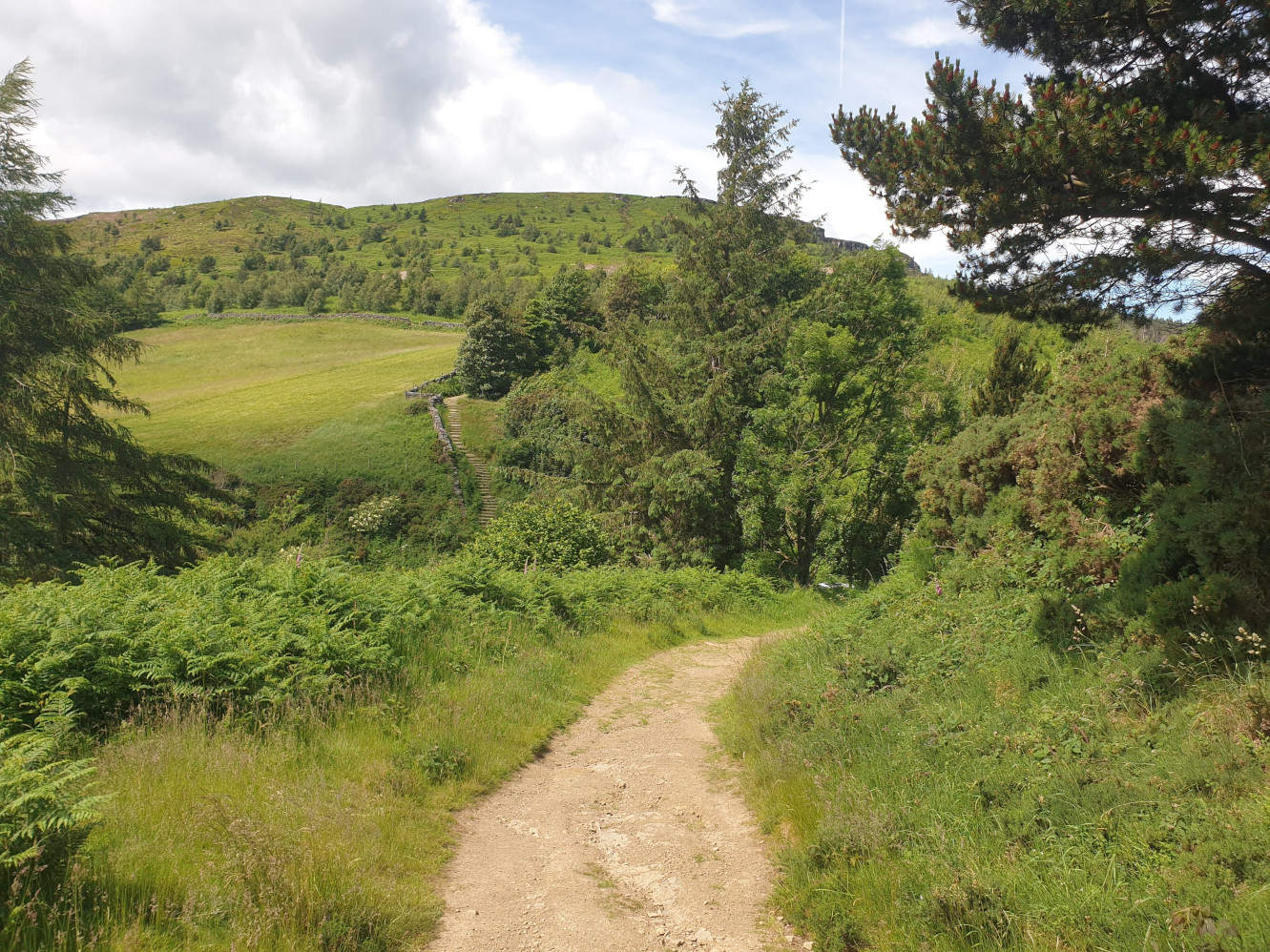
In the distance of a few of the Great Ayton hikes, Ingleby Incline is a visible straight, steep road heading up the Cleveland Hills. In an anticlockwise direction, this loop heads along the Cleveland Way from near Clay Bank Car Park, uphill, over the moors and back down into the farm fields under the Cleveland Hills.



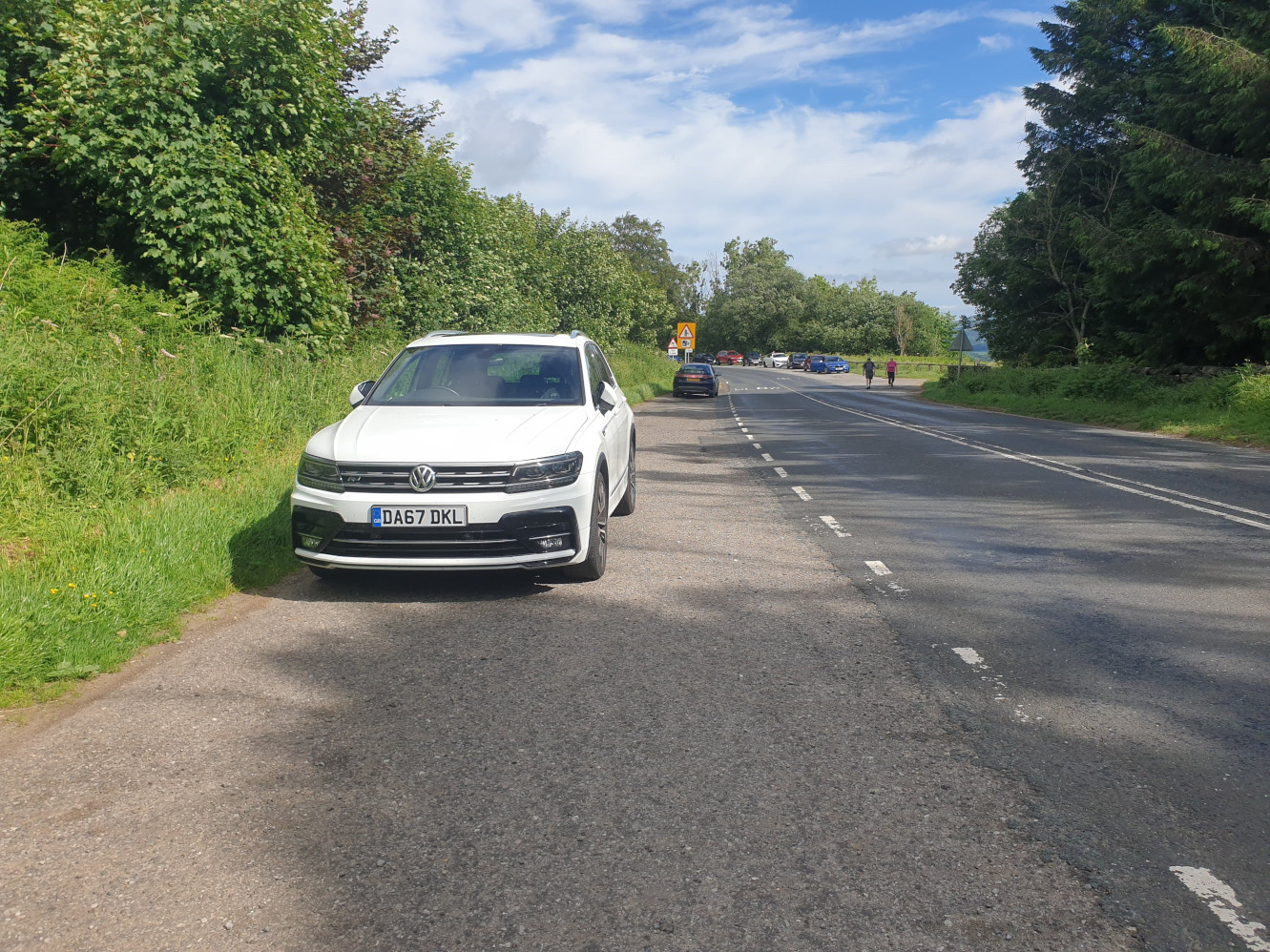
Parking at the side of the road here by the side of the B1257 where there are lots of parking spaces on both sides of the road…but it is a popular location to park.
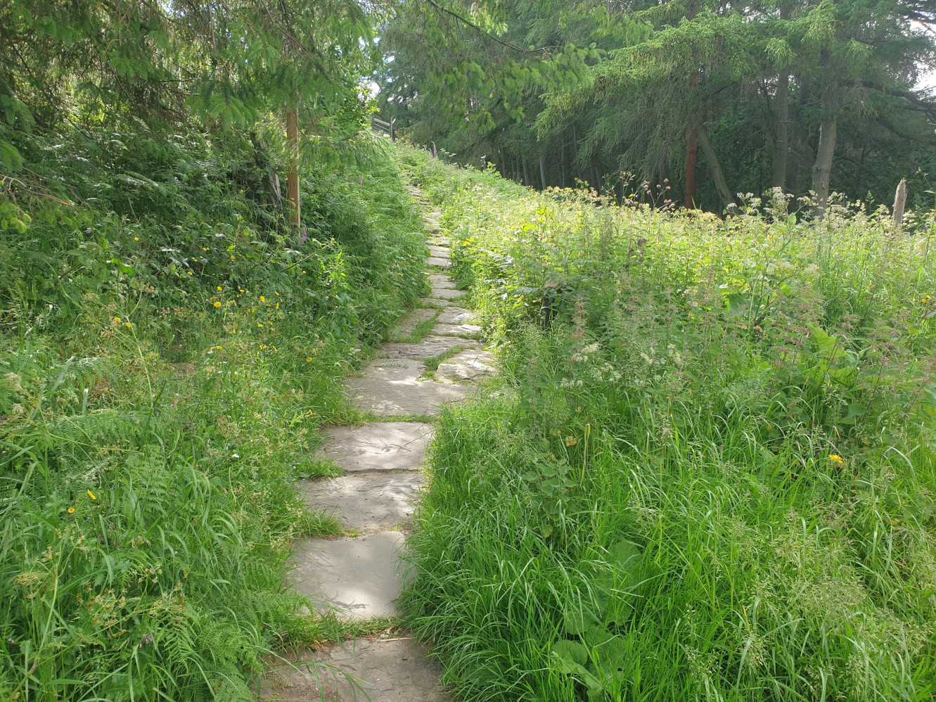
The route starts in an easterly direction with a steep uphill climb along the stone steps of the Cleveland Way.
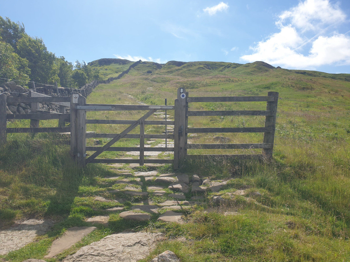
Taking a breather by this gate with a view ahead of more stone steps heading further uphill. The path is parallel to the drystone wall on the left hand side.
Finally at the top of the hill, looking back at the stone steps and across the valley to Hasty Bank, covered on a previous Tiggy Tour
Chop Gate, Hasty Bank and The Wainstones.
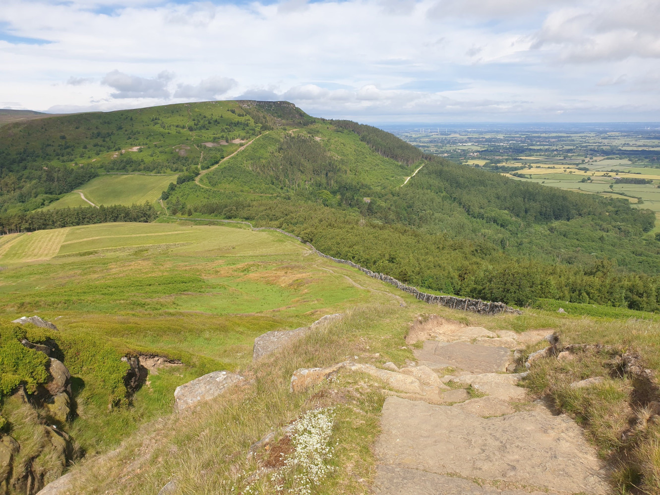
Now at the top of the hill, the path heads southeast along Carr Ridge. At the start of this level path along the top there is another path off to the right but this route follows the main stone path on the left.
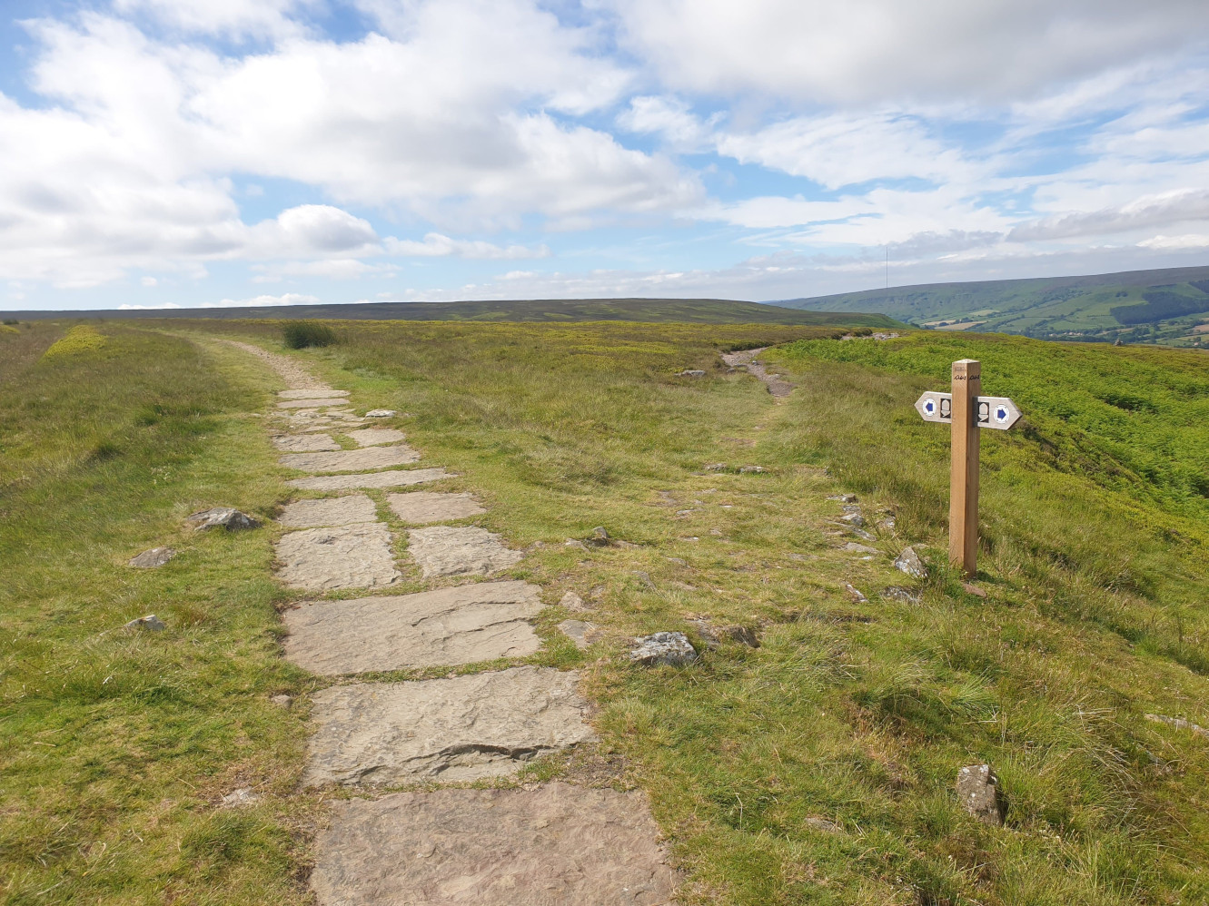
Looking south over Urra Moor.
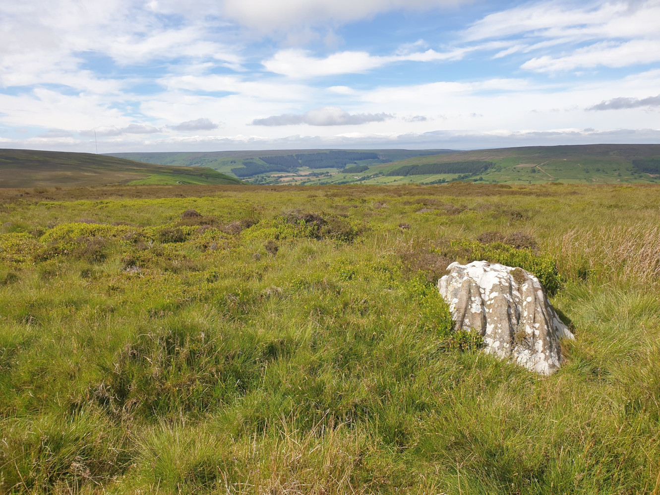
Continuing along the Cleveland Way over the moors towards Round Hill.
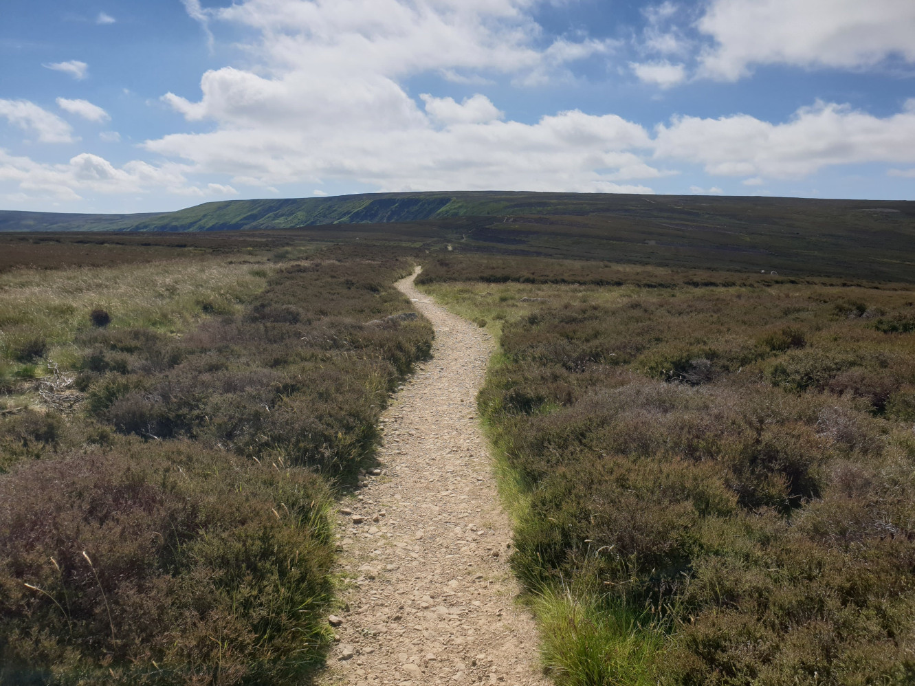
From the path, this time looking north. Just behind the sheeps, to the left of the picture you can see Ingleby Incline heading downhill. This is the track we’ll be taking to get back down from the top of the moors.
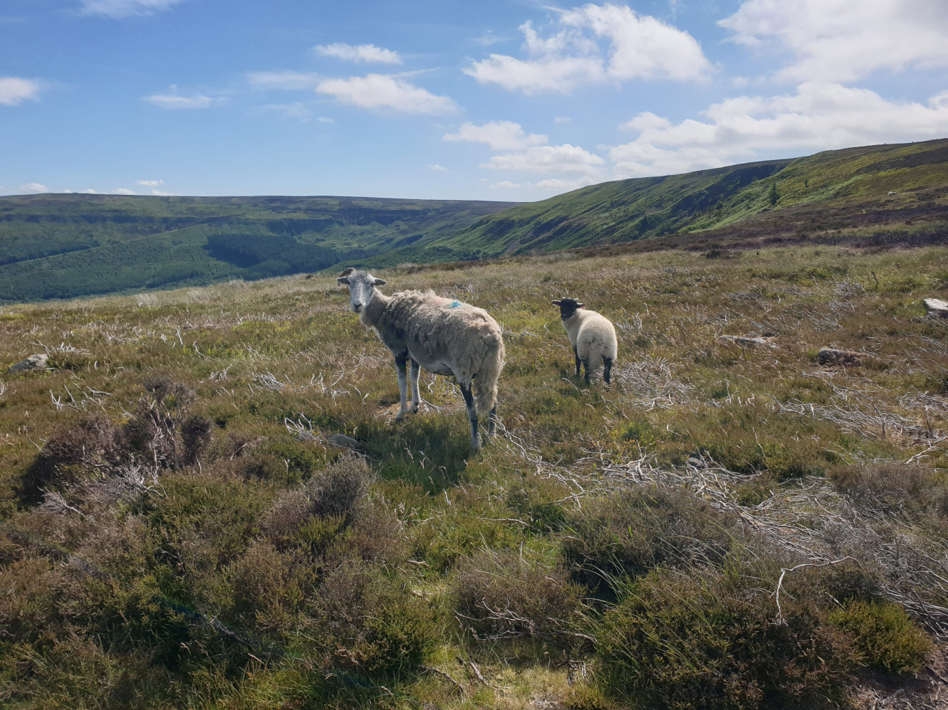
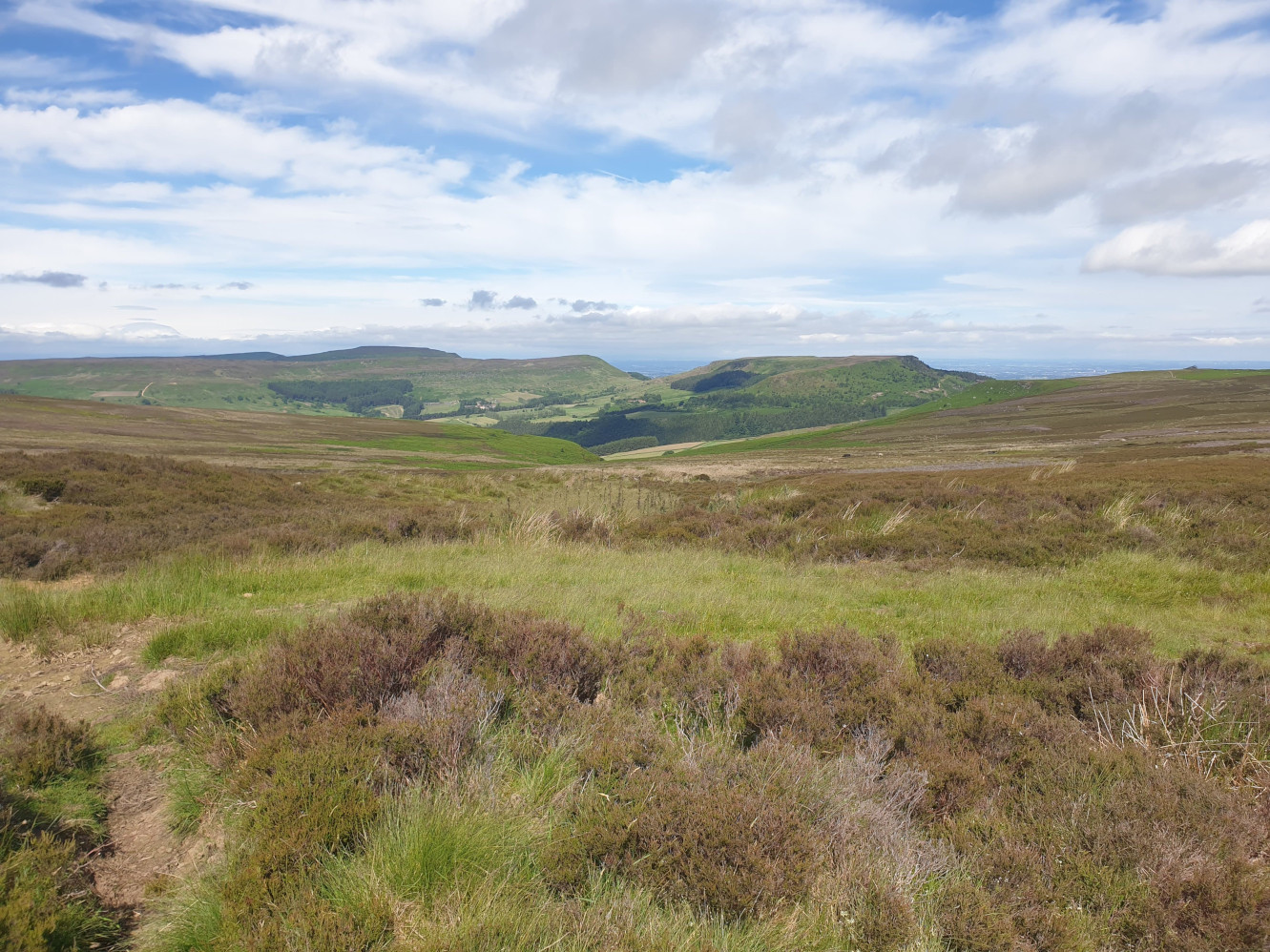
At the top of Round Hill, looking back towards the Cleveland Hills. Including the various peaks covered in a few Lordstones Tiggy Tours including
Lordstones Peaks.
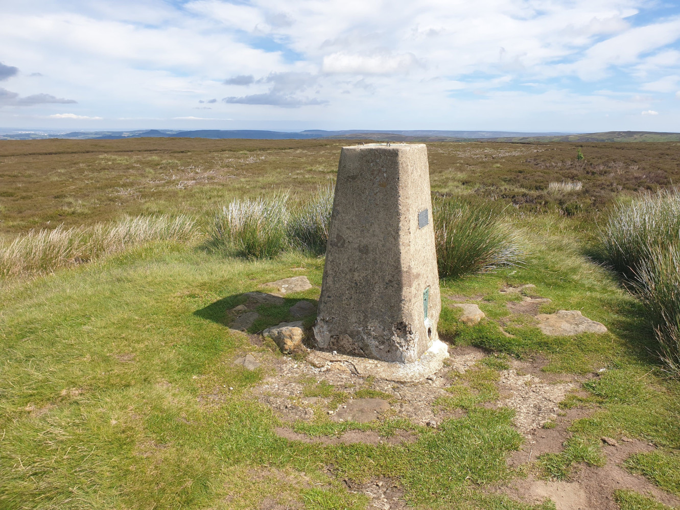
The Botton Head trig point at the top of Round Hill.
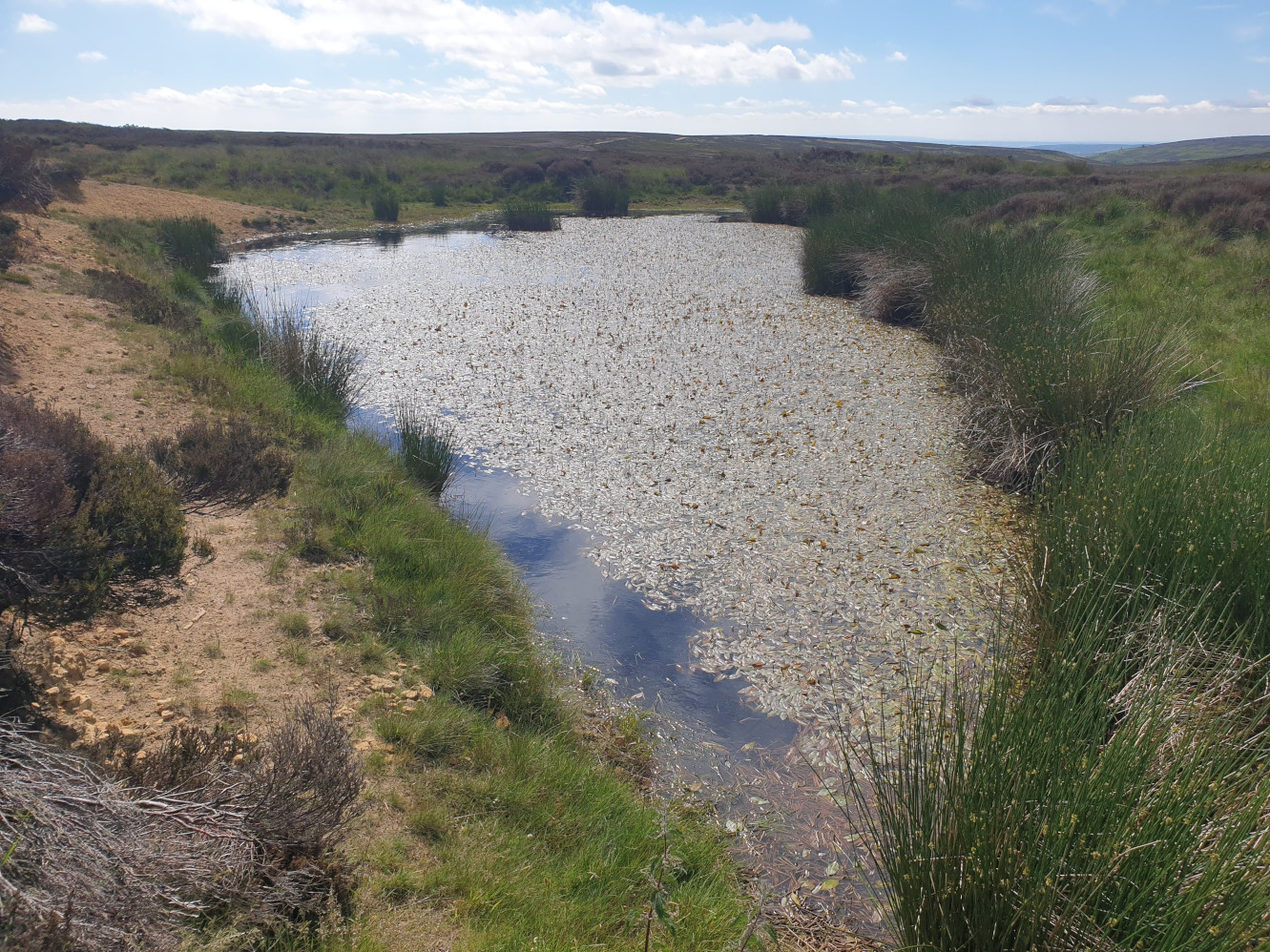
The path then heads more easterly, still along the Cleveland Way and past this pond on the right.
The path turns into a wider, dirt track, well used by the locals.

Grouse Butts can be spotted along the side of the track.
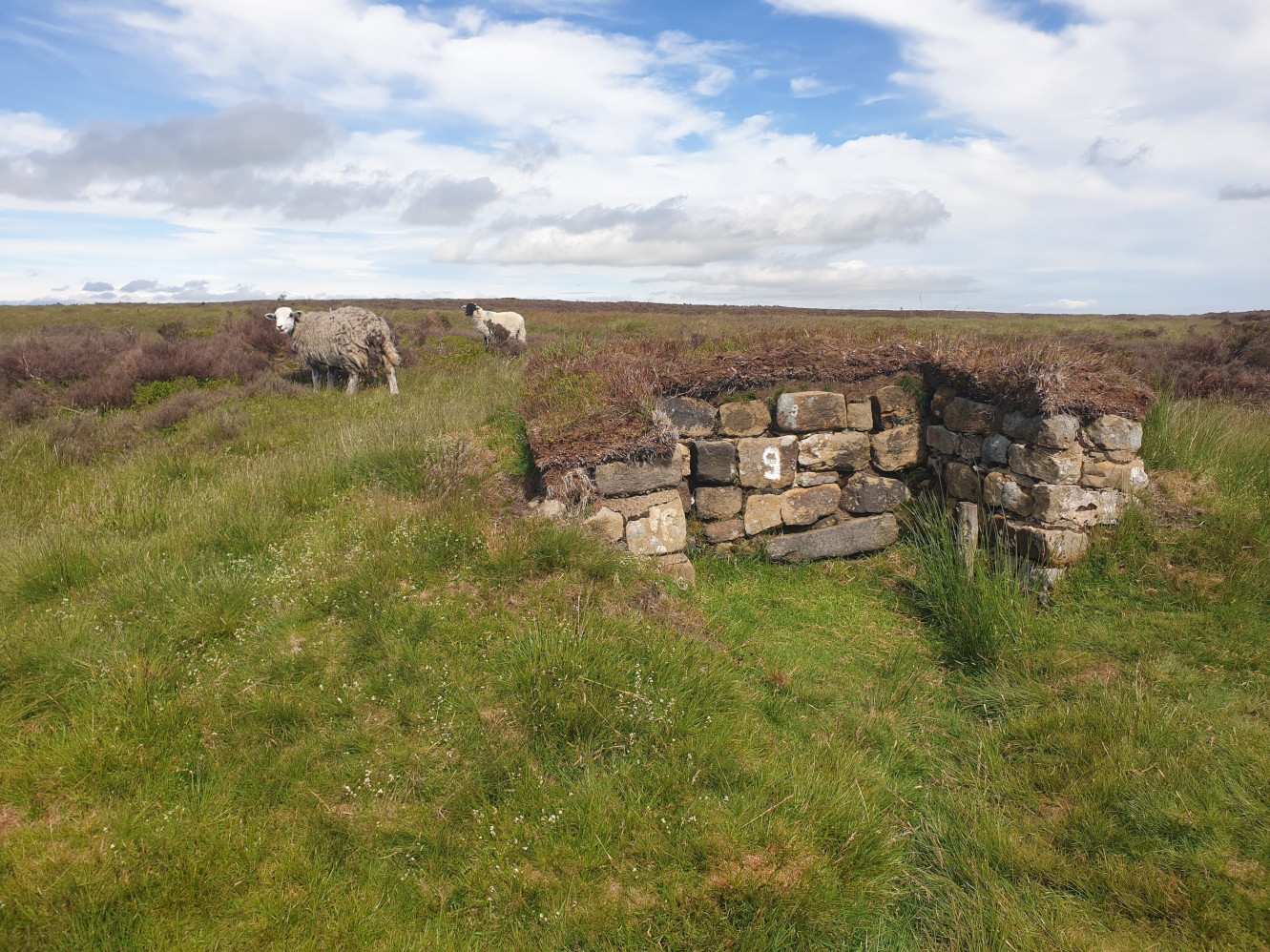
At this point by Cockayne Head, as the path crosses Hodge Beck, the path turns back to a stone path. The view ahead, showing a slight uphill towards a footpath fingerpost in the distance.

Turning left at the top of the hill, by the footpath post, the gravel path heads north over Greenhow Moor. Here the view looking back over Botton Head, Carr Ridge and with the start of the walk now on the horizon.
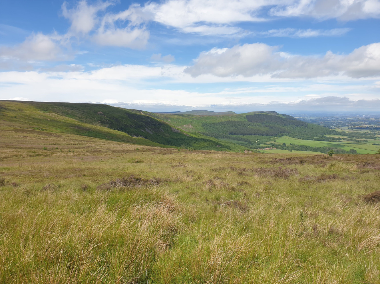
The view ahead, along the gravel track towards Incline Top.
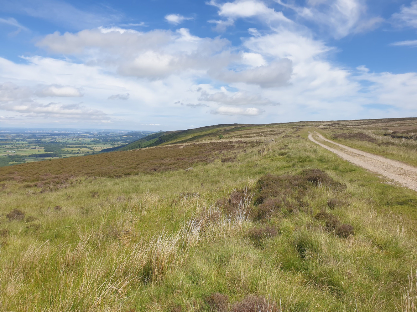
At Incline Top a picnic table with a model and information on The Drum House which sat at this point.
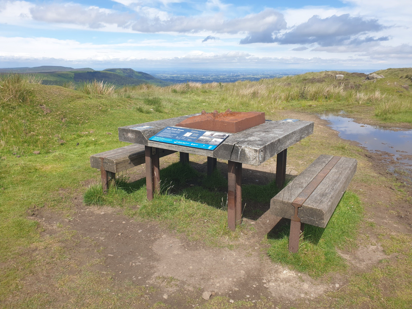
The remains of The Drum House and the incline, heading straight ahead, downhill.
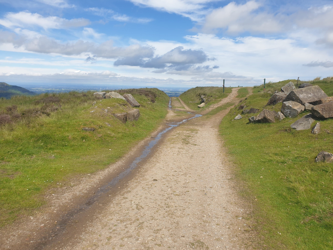
The view down the incline.
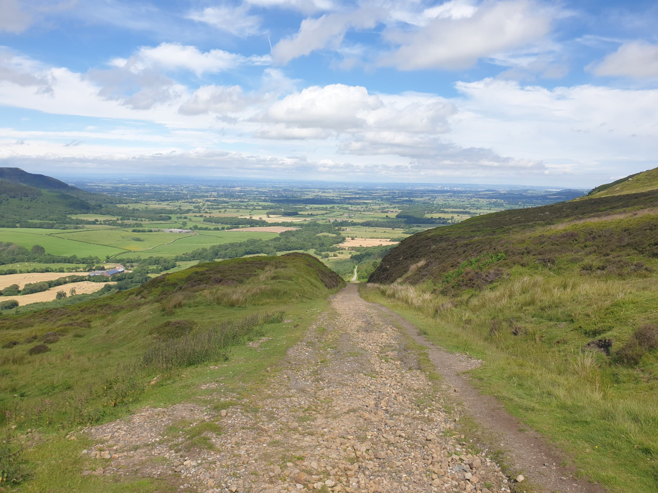
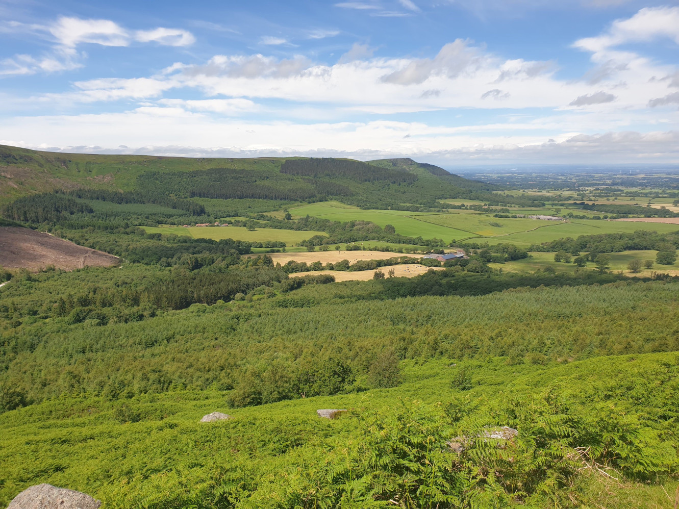
Looking across the valley, back to where the walk started. In this picture the green fields are part of the route ahead.
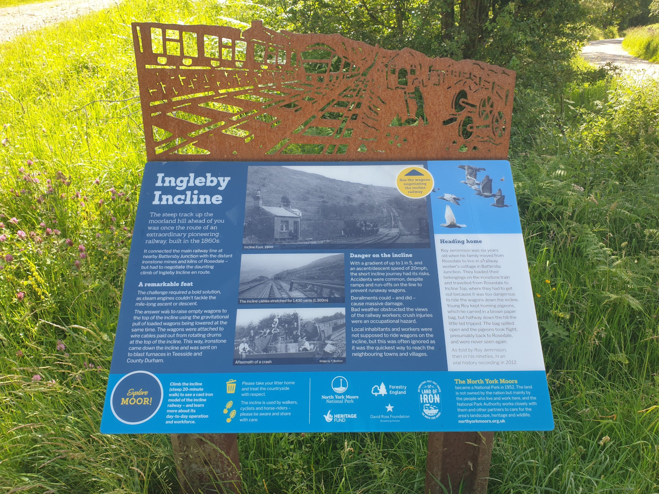
Continuing down the incline this information board can be found at the bottom.
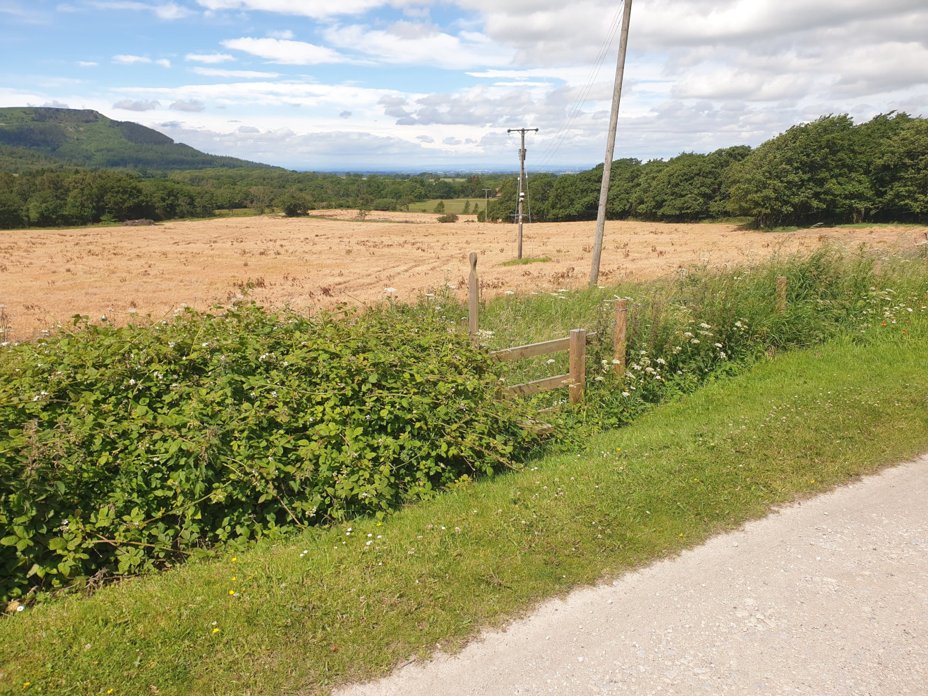
As the route levels out onto a tarmac road, with some houses on the left there is this stile on the right. Climb over the stile and cross a couple of fields towards High Farm.
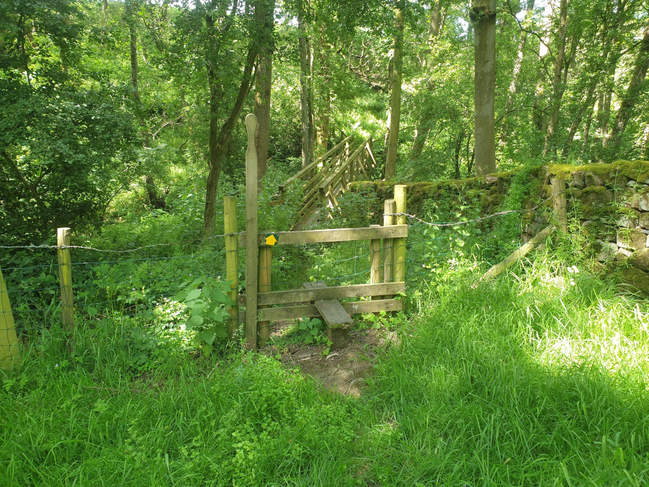
Near High Farm there is a small wooded area and this footbridge crossing a stream.
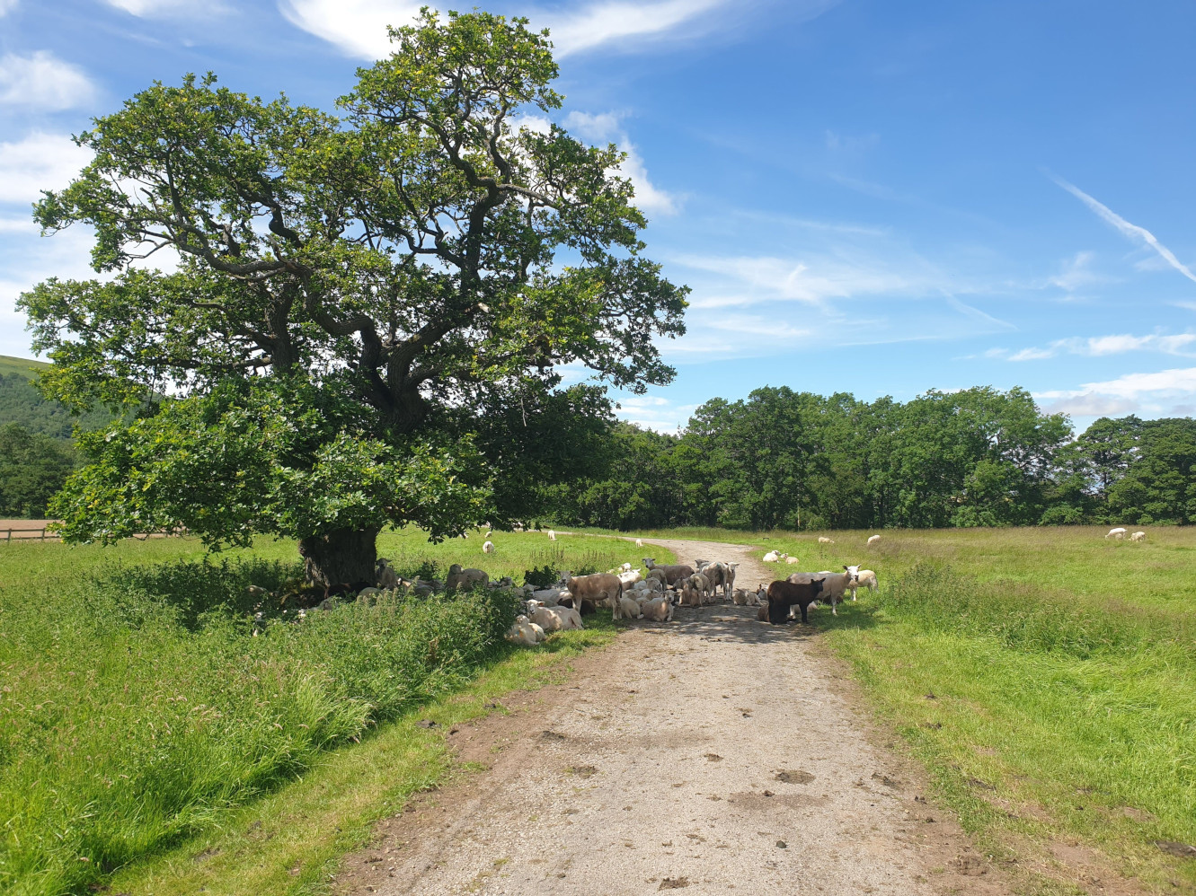
After crossing the footbridge, the path joins a track heading west towards the main road. Here, the sheep were taking a rest from the sun.
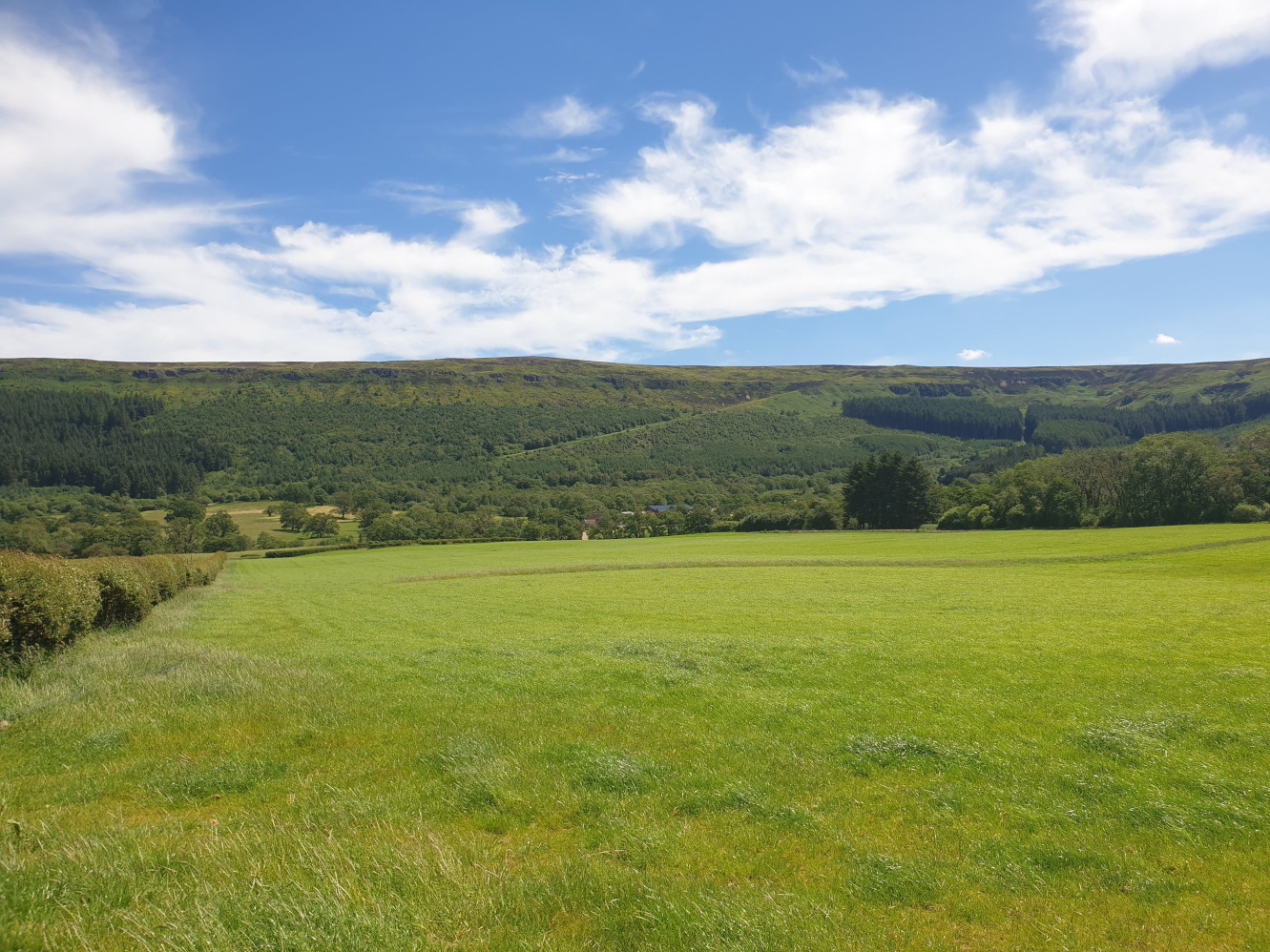
The track then joins a tarmac road. At this junction turn left, heading south down the road towards New Sheepfold Farm. From the road, looking back at where we’d been earlier you can still see the incline heading down the hillside.
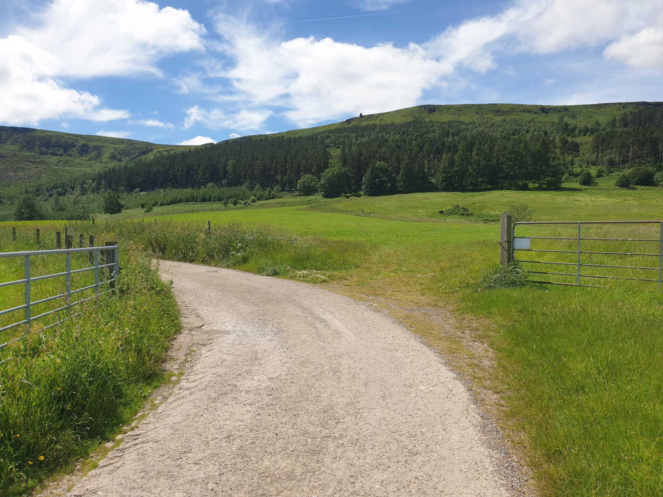
Keep following the road south, past New Sheepfold Farm until the road takes a sharp right hand turn. Continue along the road for a short distance until you get to this bend in the road with the footpath off to the right just visible. Leave the road at this point and follow this path across the field, steadily uphill.
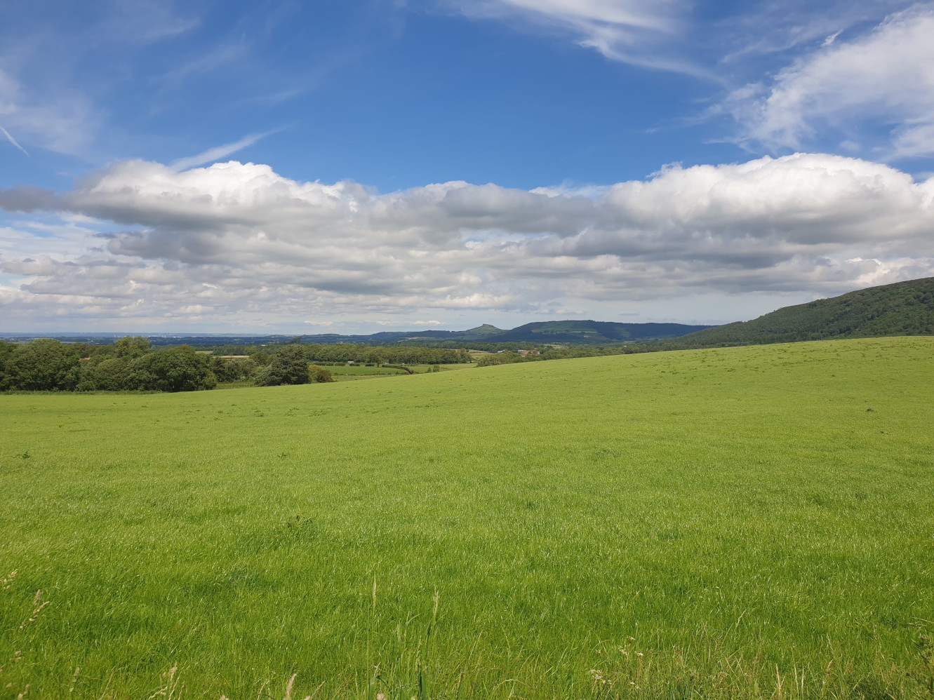
As we head over the field, the view along the valley with Roseberry Topping on the horizon.
After crossing the field the path heads into the woods and up a steeper path through Greenhow Plantation.
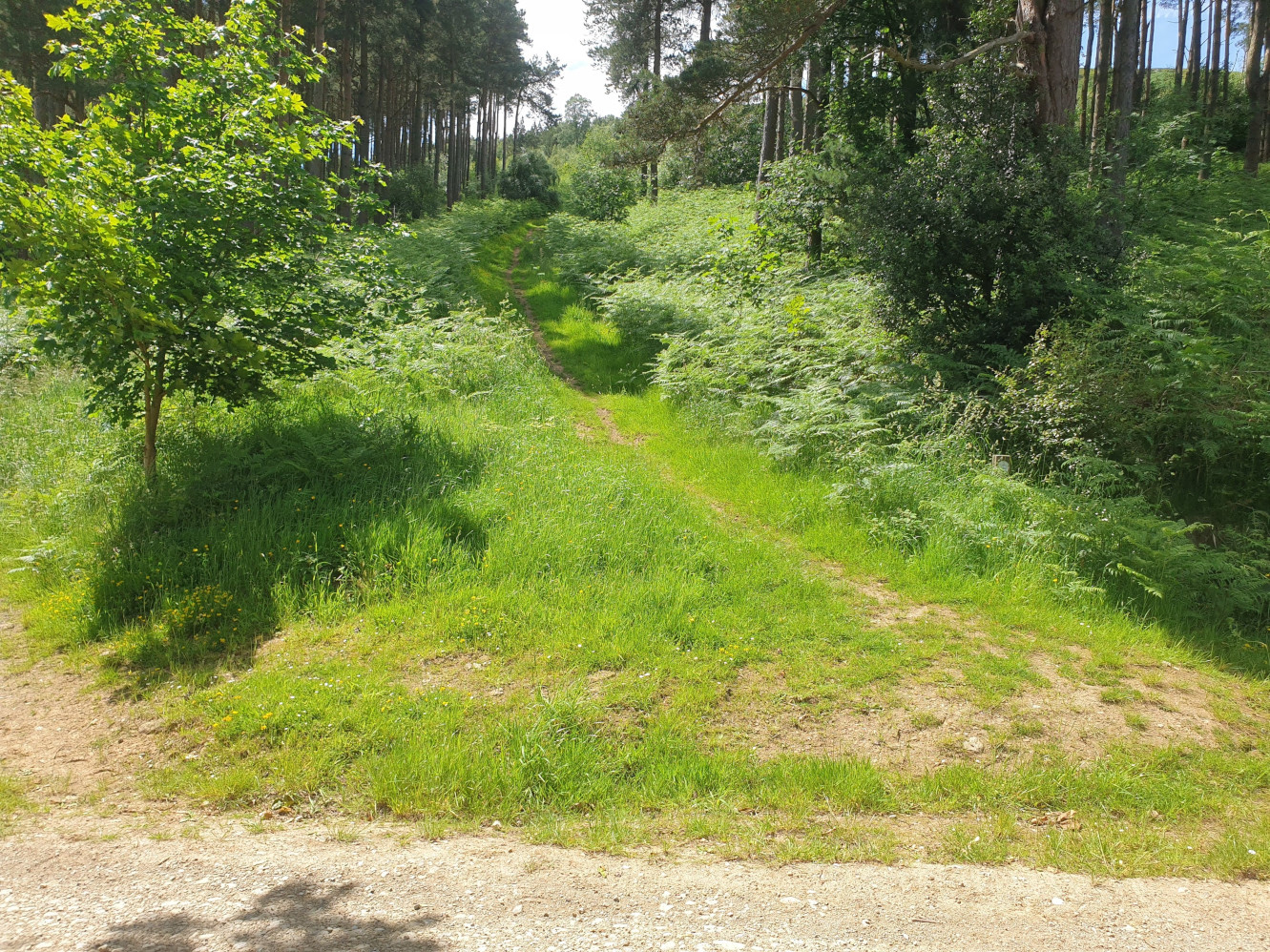
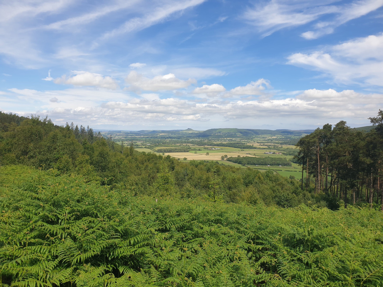
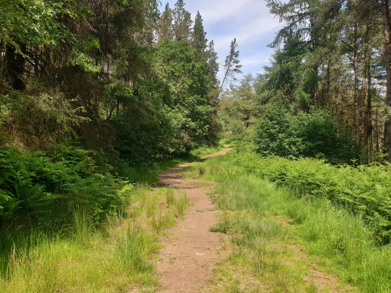
After a steep path you get to a junction with a dirt track. Taking a right hand turn at the junction, follow the nice and level track through the plantation. There are no more climbs from now on, the next mile is nice and level. Now and then there are gaps in the trees which provide further views along the valley, and again, Roseberry Topping.
The track continues through the trees from a northwest to a westerly direction.
You then get to the top of this downhill part, nearly at the finish, with the Cleveland Way steps heading up to Hasty Bank visible. In the middle of the photo, just visible, is the white roof of Tiggy. Head down the hill and you get to the B1257 road right by where the starting point was.