A bit of a different location for a Tiggy Tour, over the moors past Whitby to a medieval stone cross and a cold war RAF base. There are a number of warning signs around the base but as the below shows some routes are permissible.
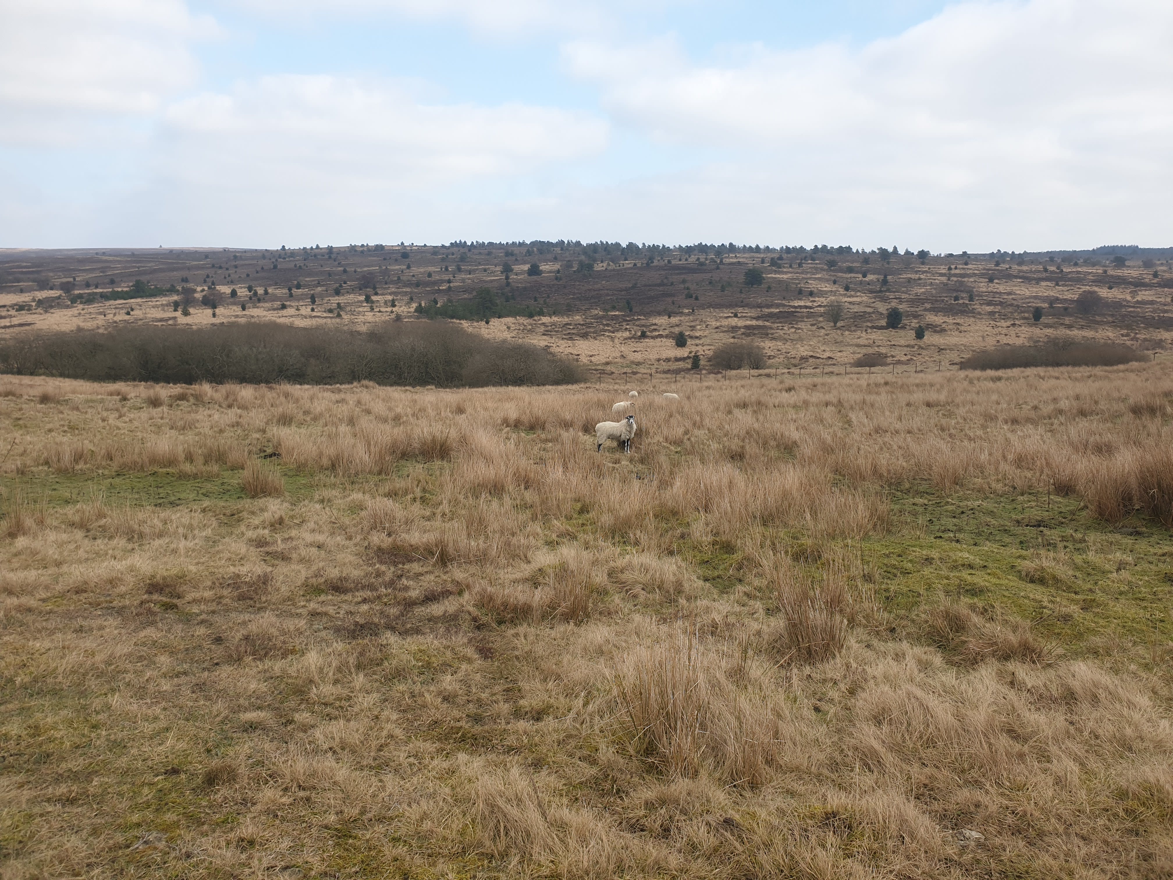
Langdale Moor made the news a fair bit in 2025 due to a large fire which lasted for 40 days. Here are a couple of news reports on the blaze (News Report 1) and (News Report 2). Evidence of the fire and the firebreaks created to stop further fires are visible on this route.
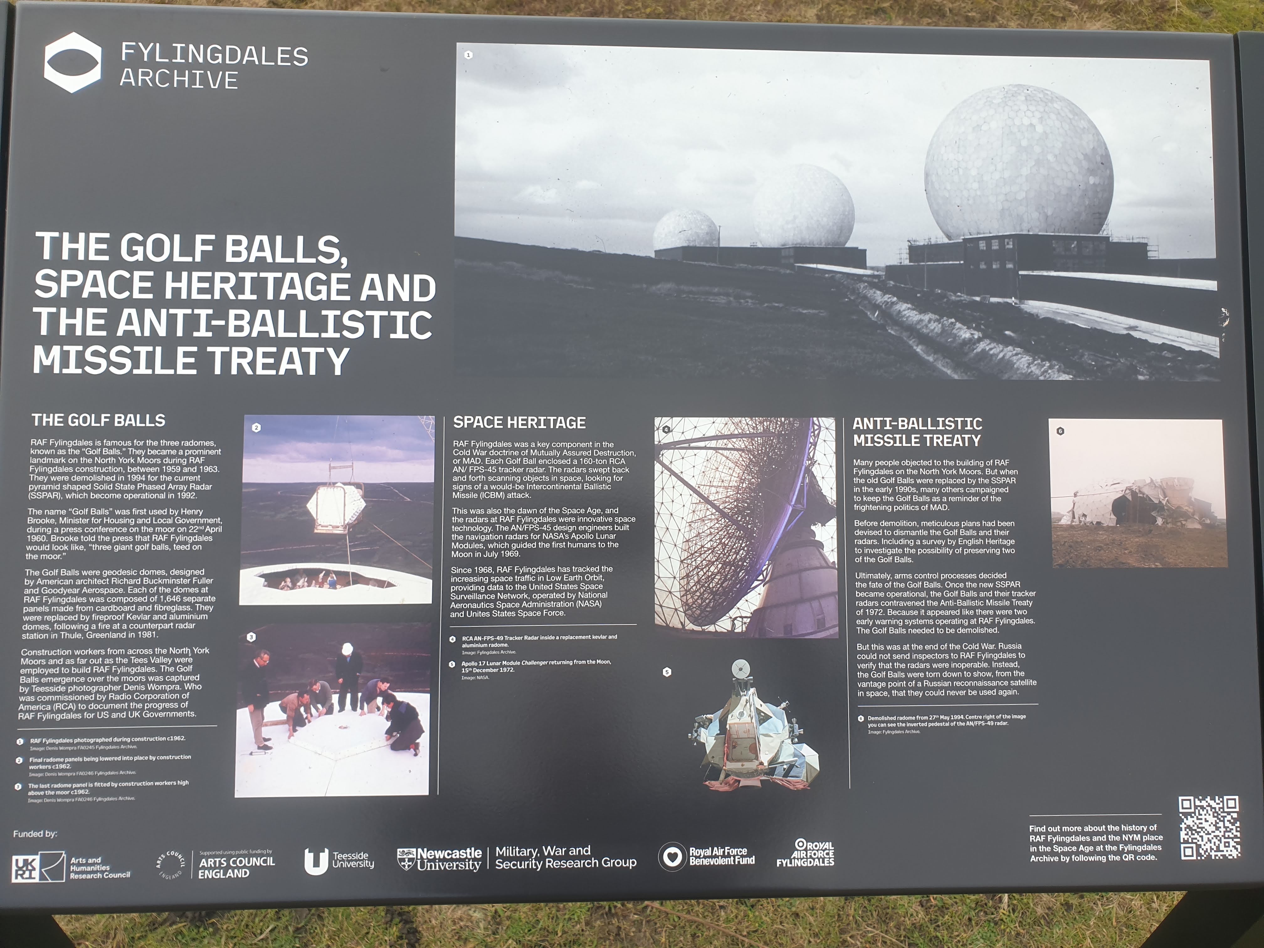
RAF Fylingdales was more visible as three large golf balls on the horizon of many a moor roadtrip, now the golf balls are gone with just one large structure remaining. The base provides a continuous ballistic missile early warning service to the UK and US Governments, ensuring a surprise missile attack cannot succeed. The RADAR is capable of tracking objects including satellites and debris, 3000 miles into space. RAF Fylingdales falls under UK Space Command.
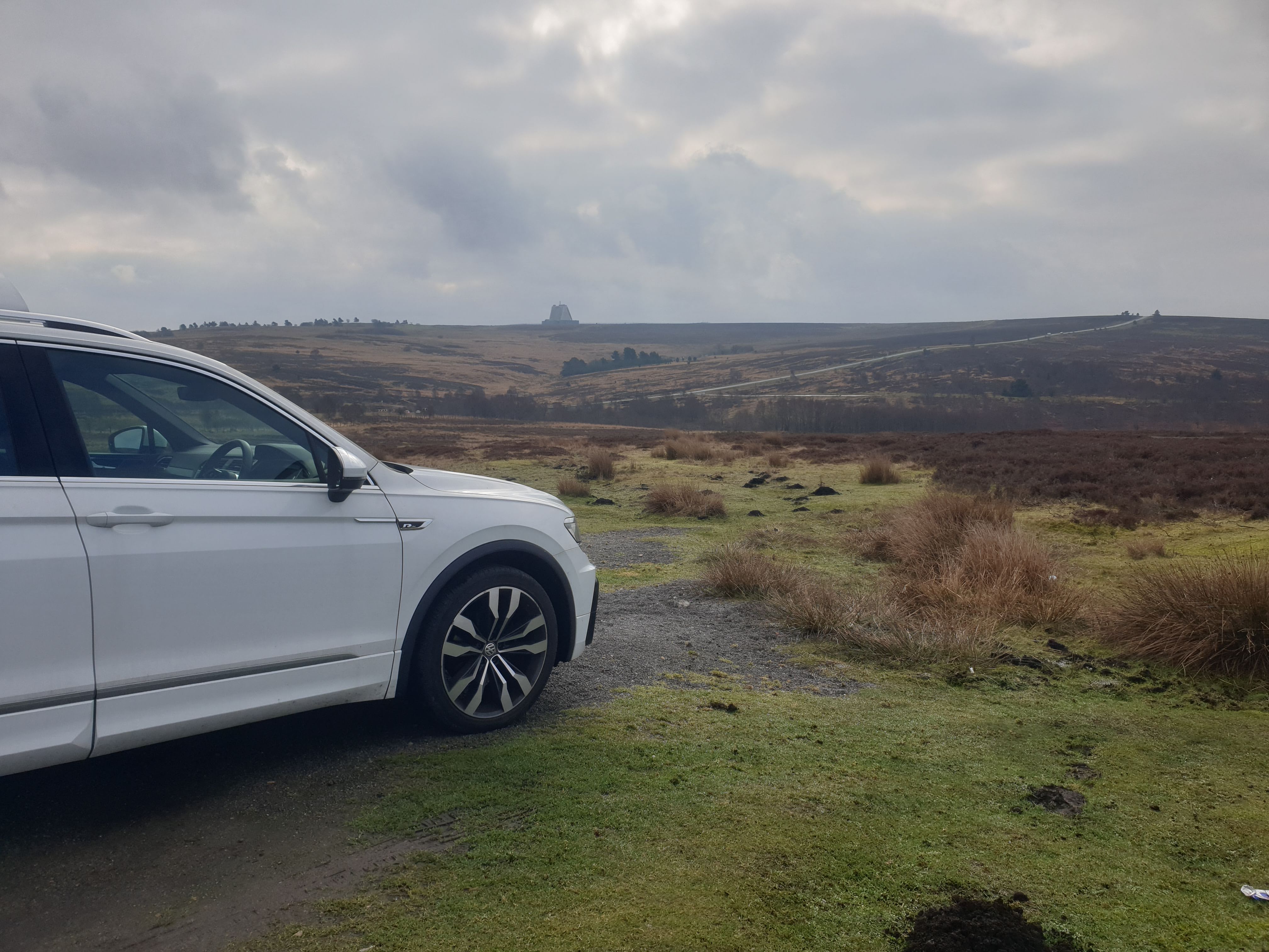
Parking at this parking spot just off the A169, this route follows the A169 for a short distance and then loops around in a clockwise direction to Lilla Cross. From the Cross its then south and west along Worm Sike Rigg to RAF Fylingdales and then north back to the original path near the A169.


Here’s the parking spot, a nice big gravel car park with views across the moor. Spot the RAF Fylingdales in the distance.
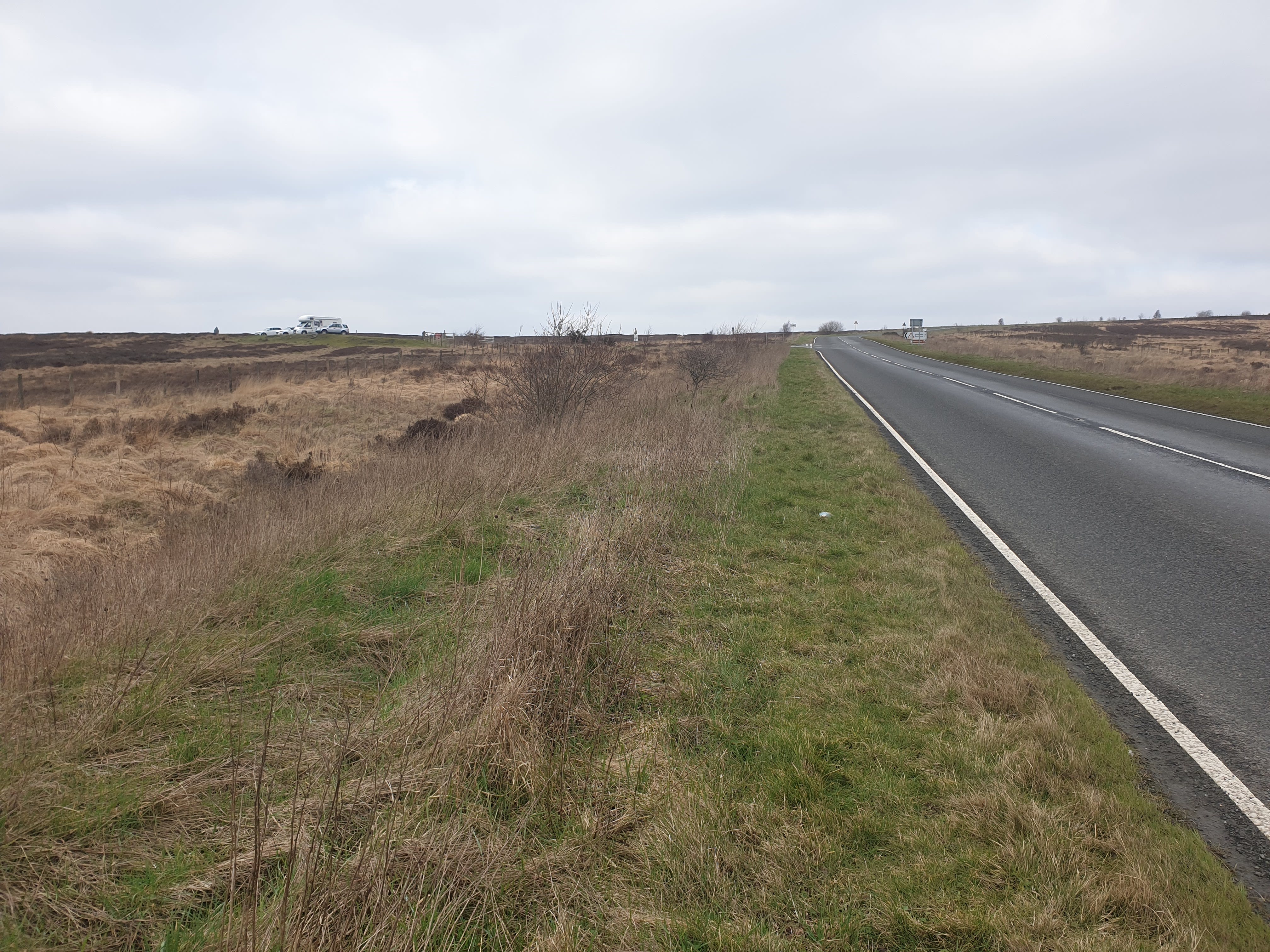
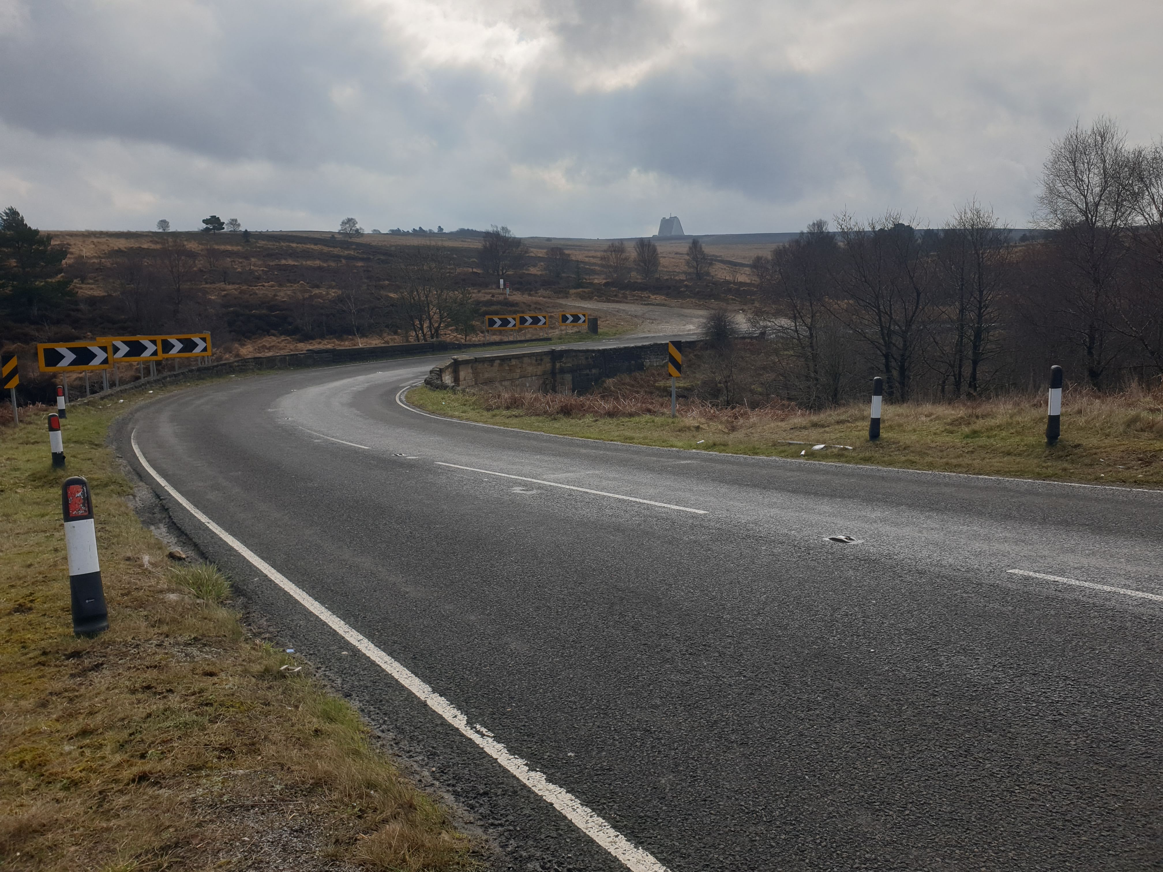
The first (and last) part of the route does have you walk alongside the A169. Not my favourite part of any hike but it had to be done and there is some grassy space along either side of the road. Follow the road south for a short distance and over a stone bridge, then take the gravel track to the left just after the bridge.
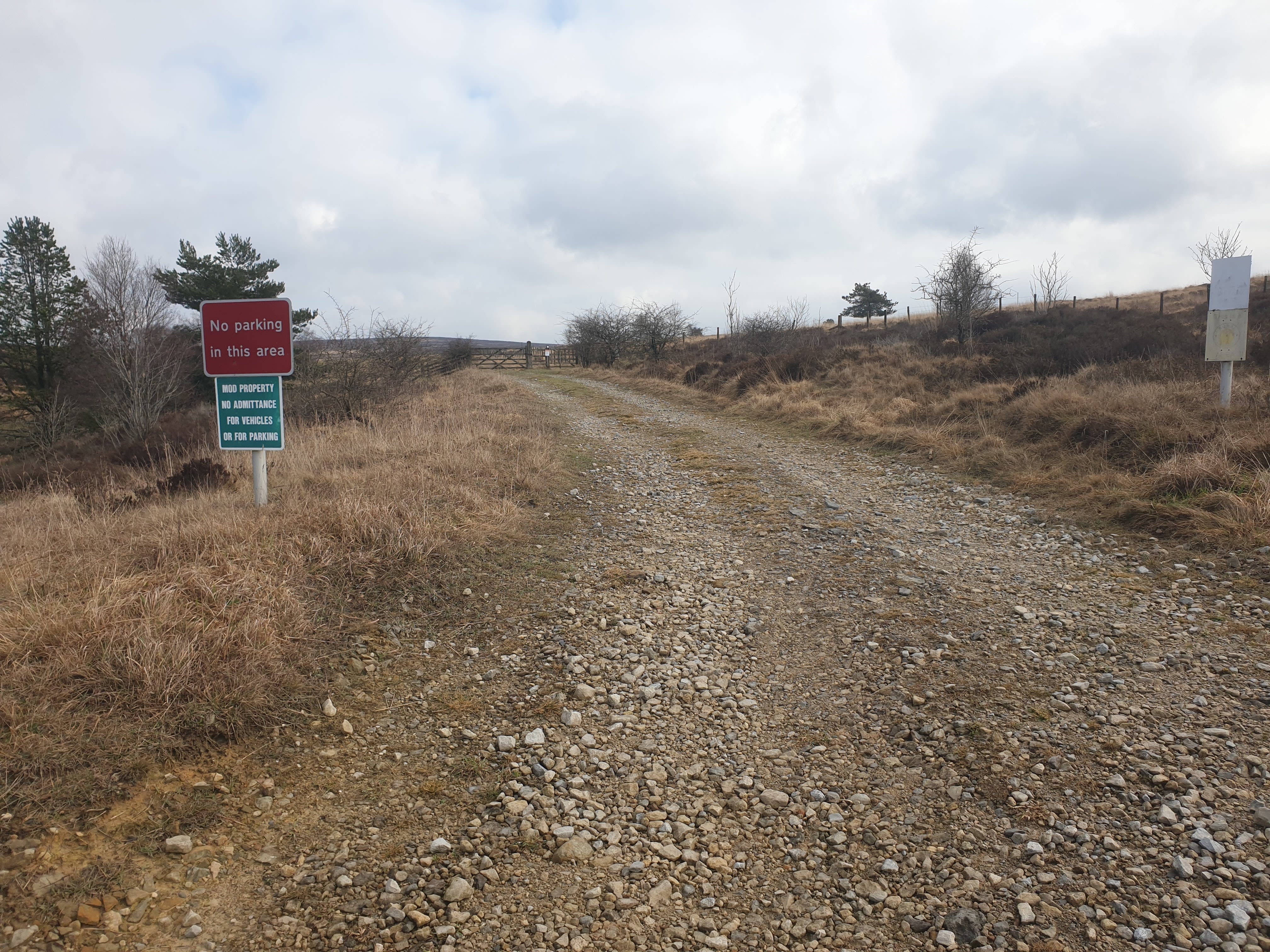
Straight away, the first warning signs. “No parking in this area” and “MOD PROPERTY NO ADMITTANCE FOR VEHICLES OR FOR PARKING”. Also another couple of faded signs on the right, hope they weren’t important!
Follow the track through a wooden gate where the path changes to grass and peat.

And sometimes peat and water. Note here the footpath through the gate to the right, this is the route we’ll be returning on so despite some warning signs in the future the path is a permissible route.
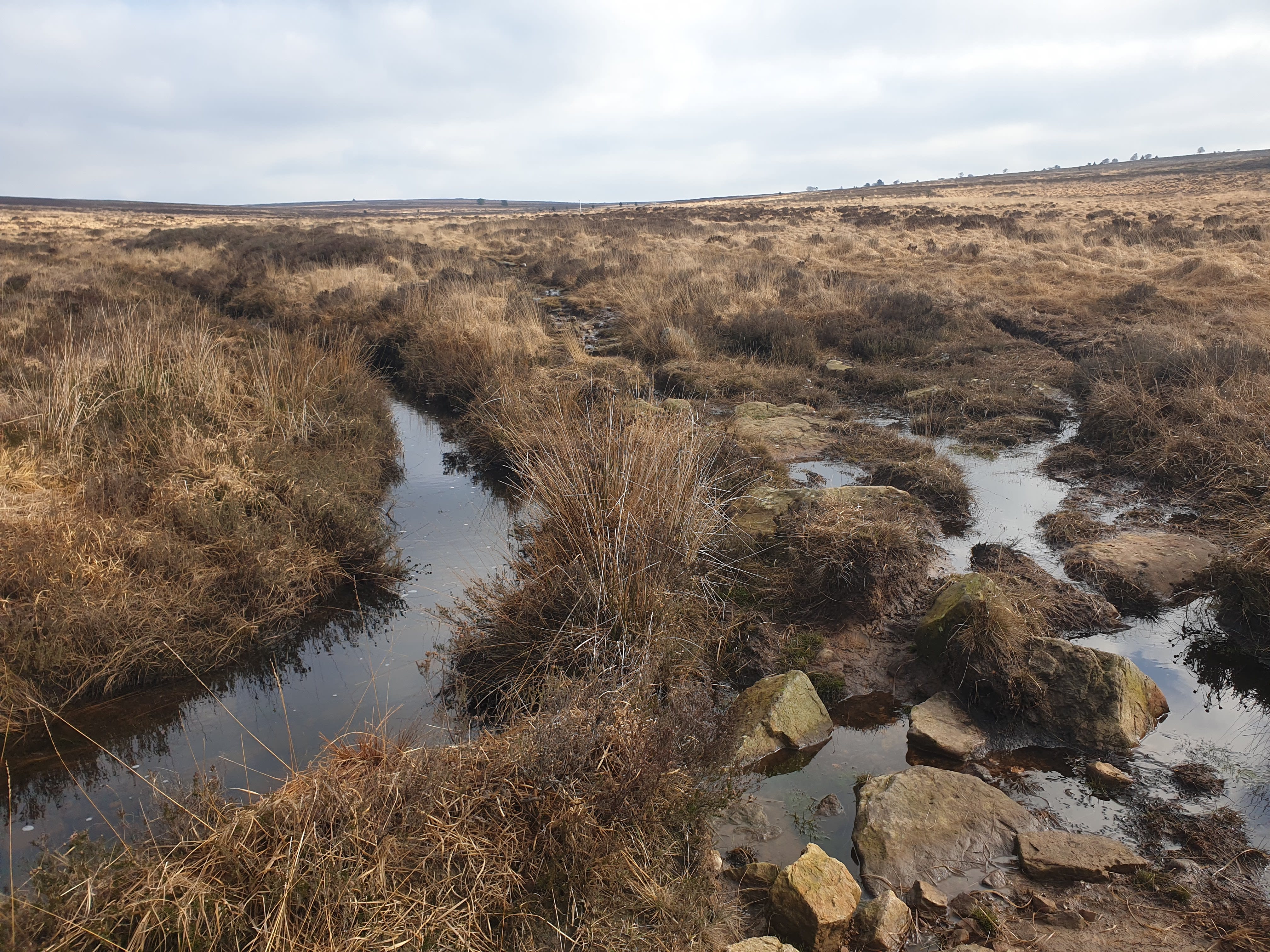
Continue along the path east following alongside the Little Eller Beck on the left.

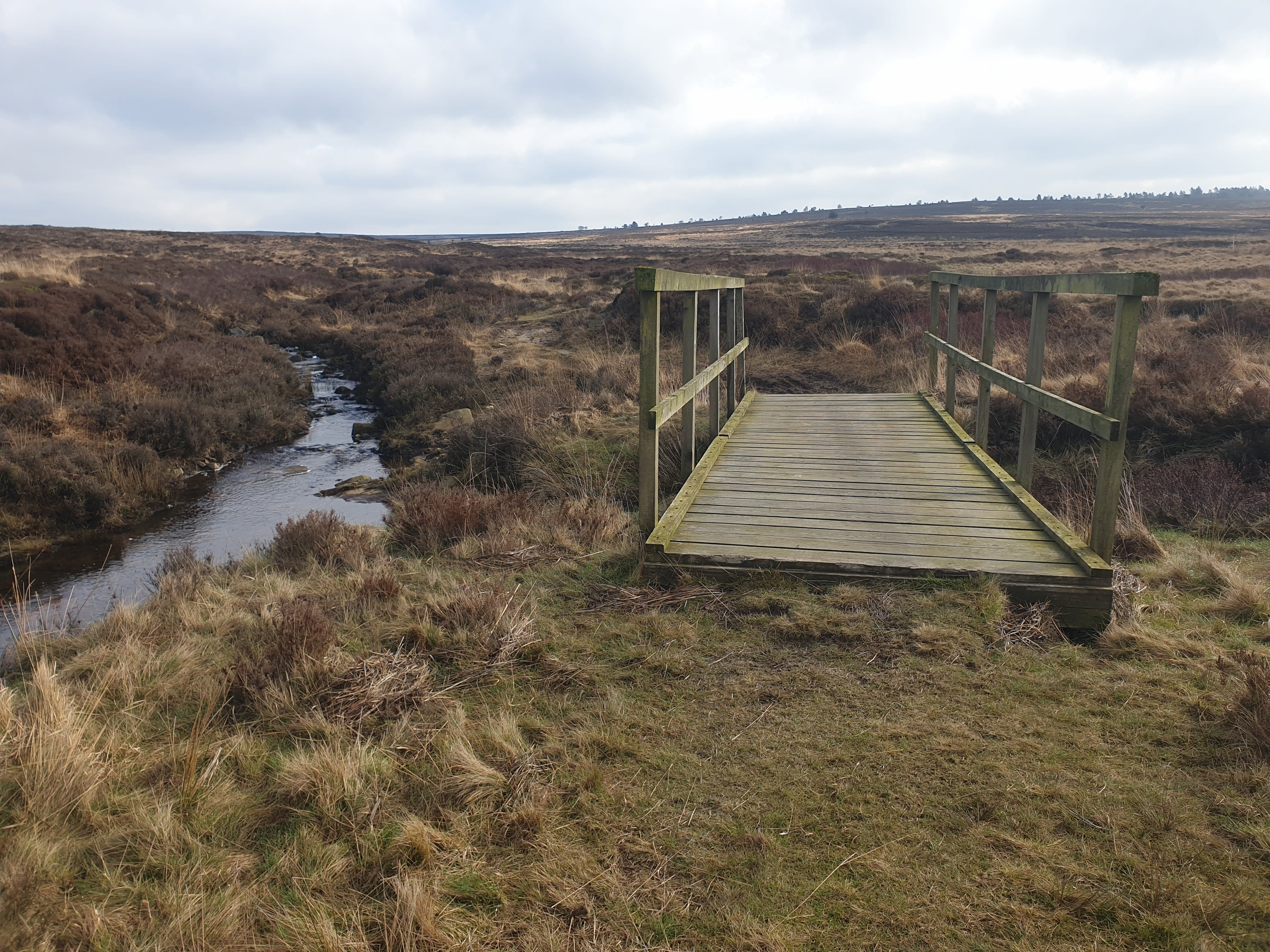
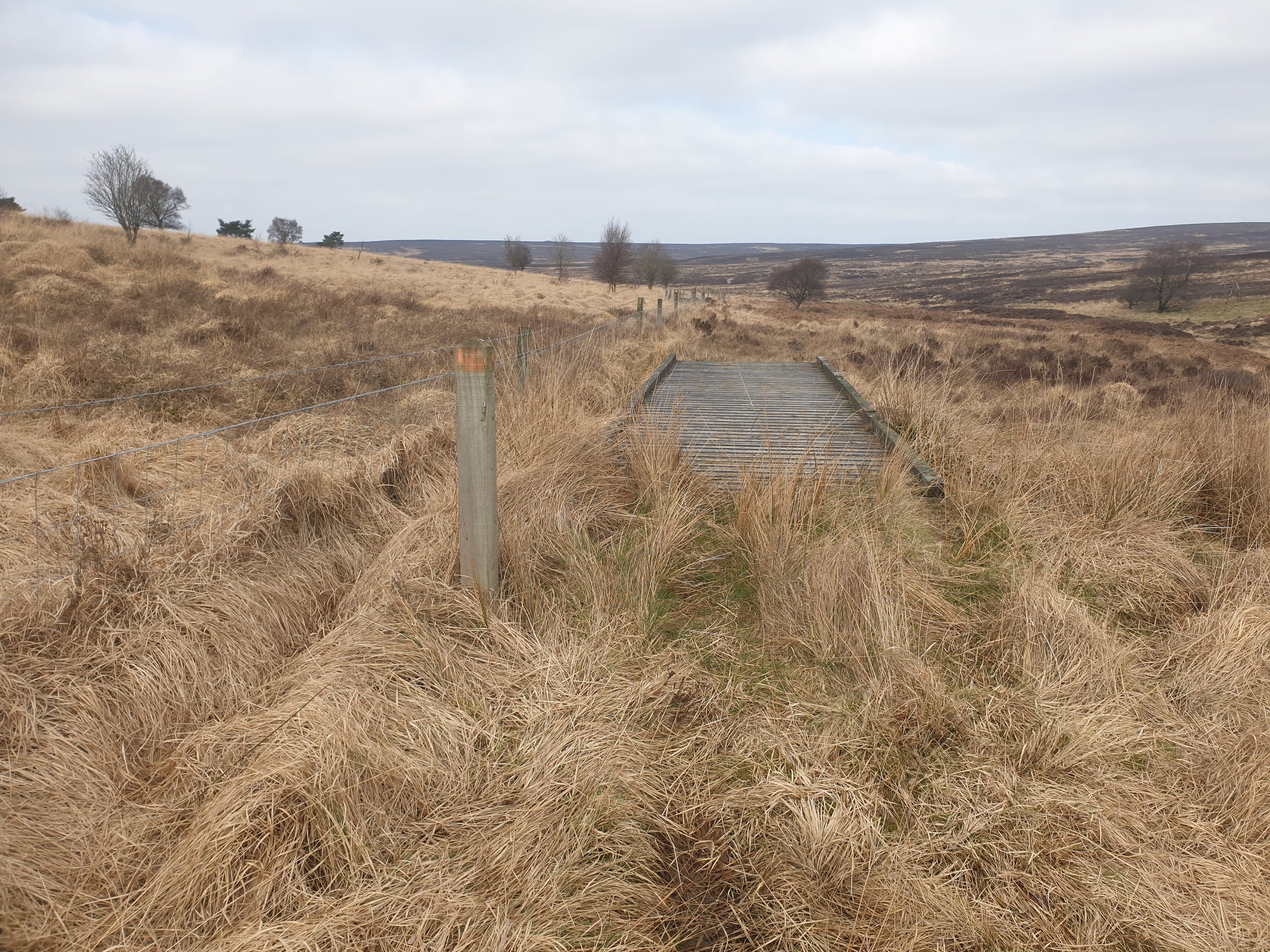
At some of the more marshy points there is a helpful footbridge or two.
The path is mainly through grassland next to the beck.
But, due to the wet weather at the start of 2026, the path becomes the beck.
Continuing east with a quick look south at the RAF base.

Keep an eye out for a track on the right, much easier than the grassy path.

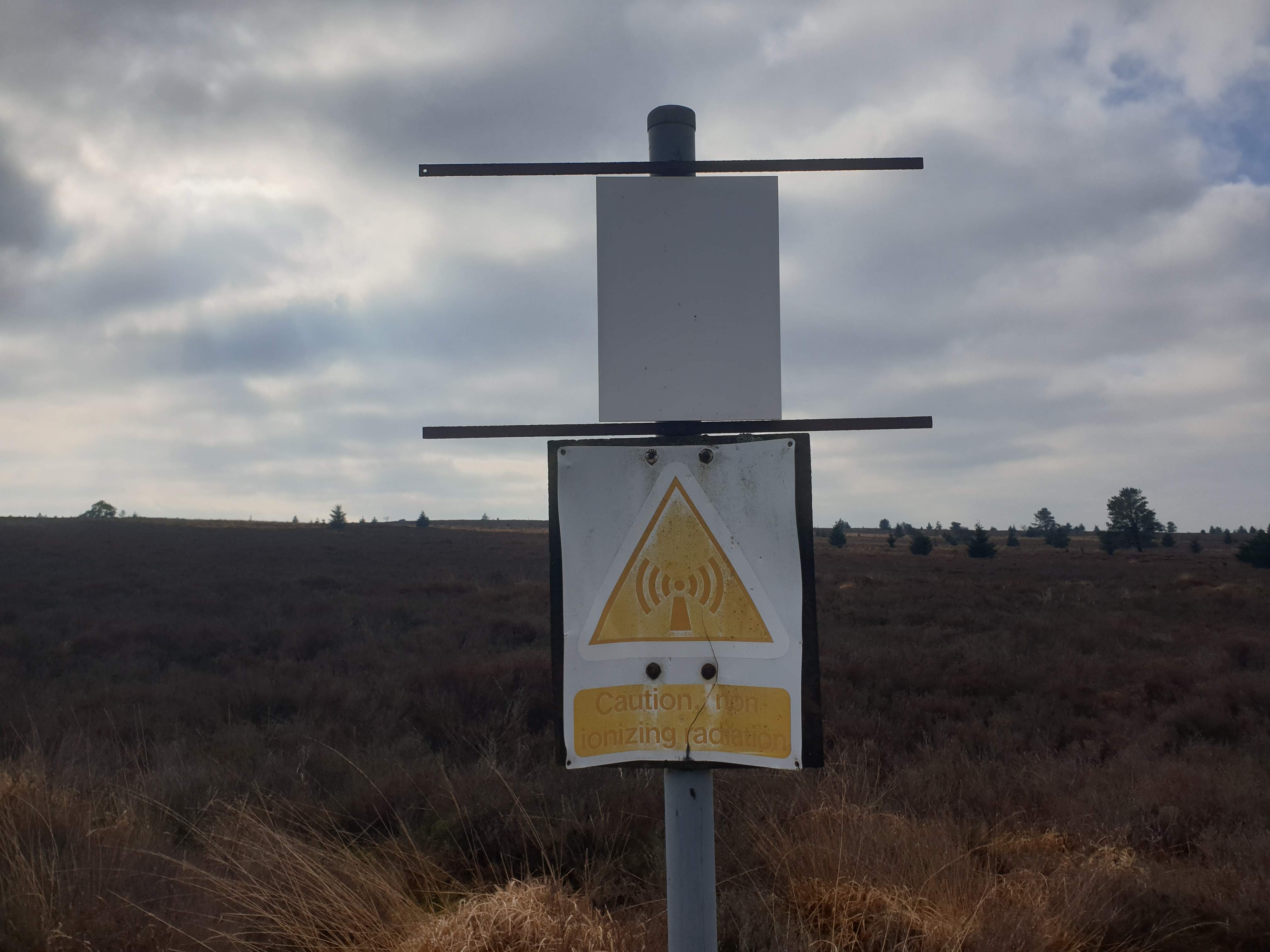
Also keep an eye out for the non-ionizing radiation.
Keep following the gravel track east, crossing over this junction and onto a grassy path with Lilla Cross in the distance.
As you approach the cross there is this plaque.
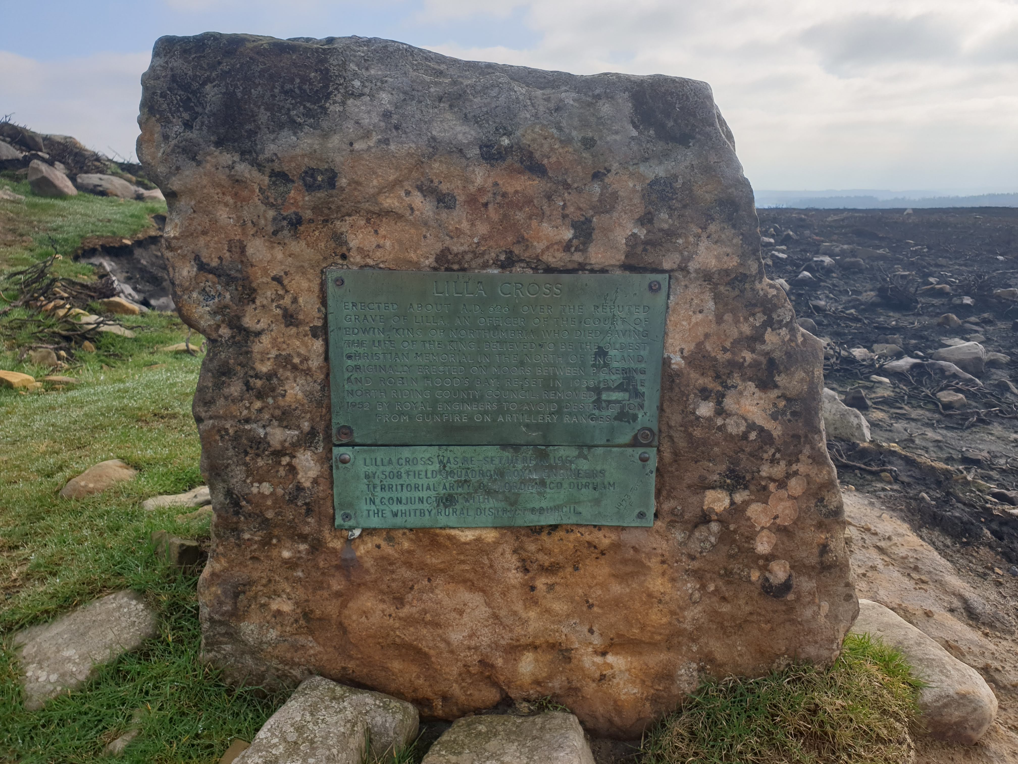
The cross itself.
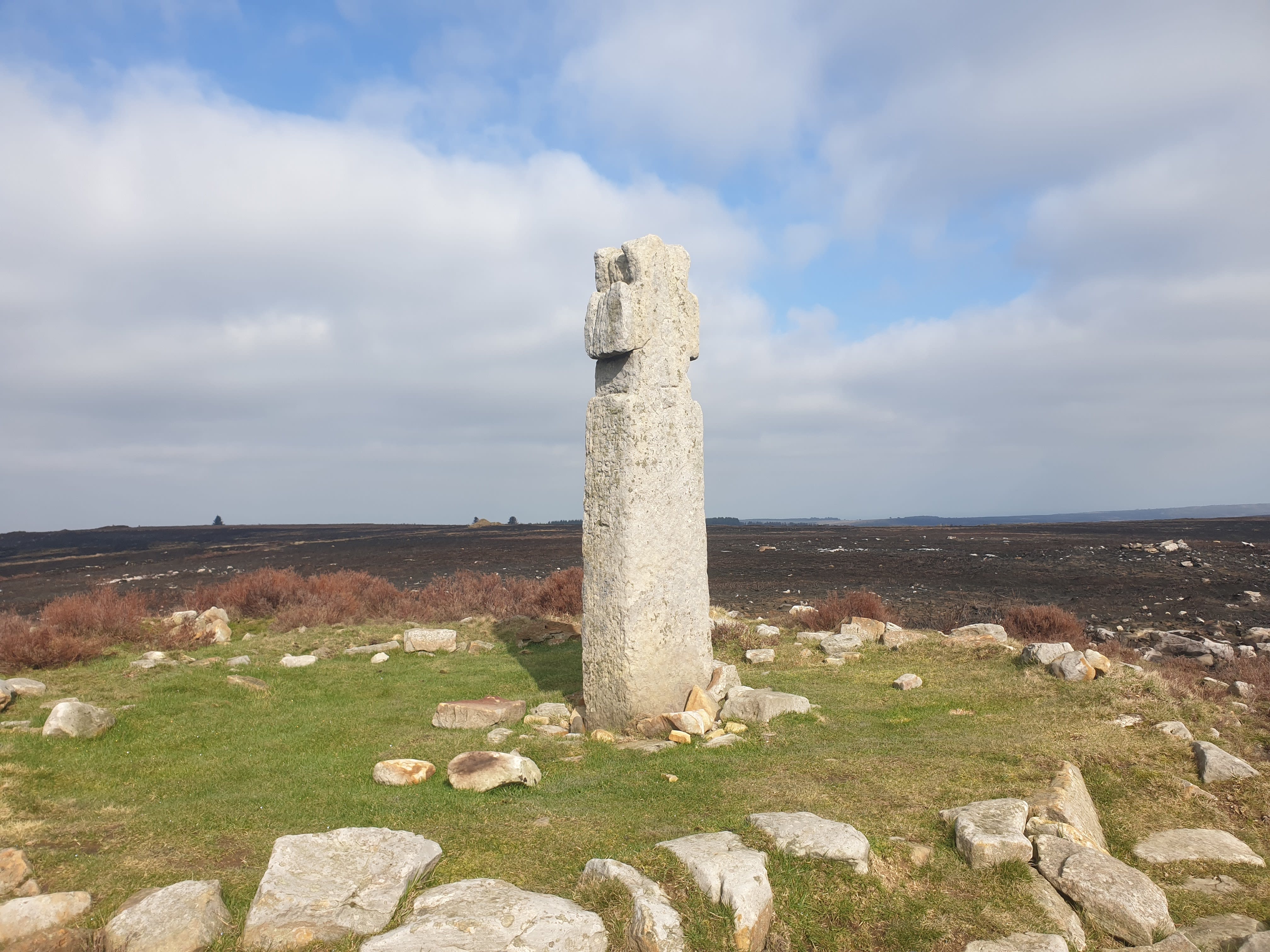

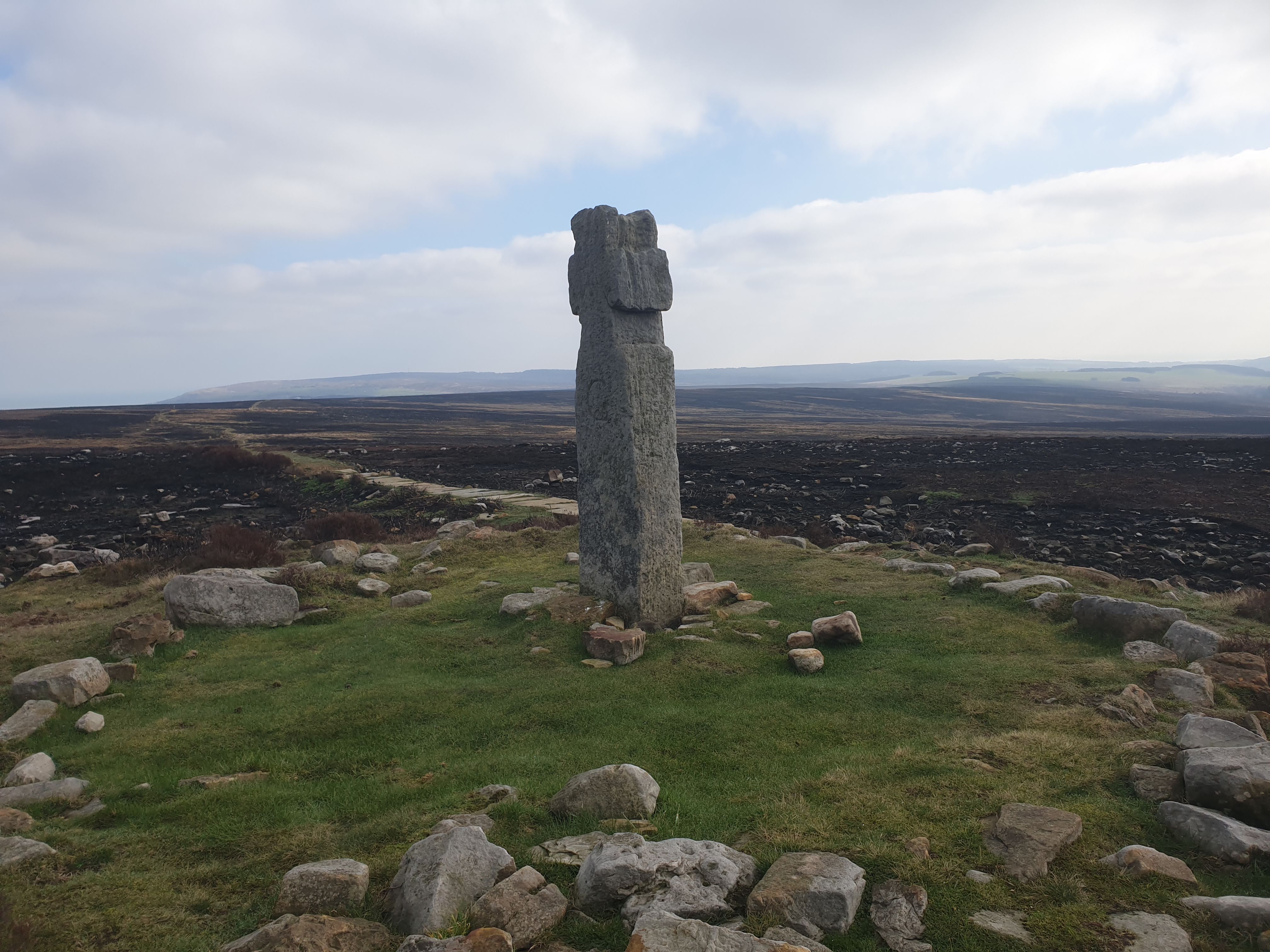
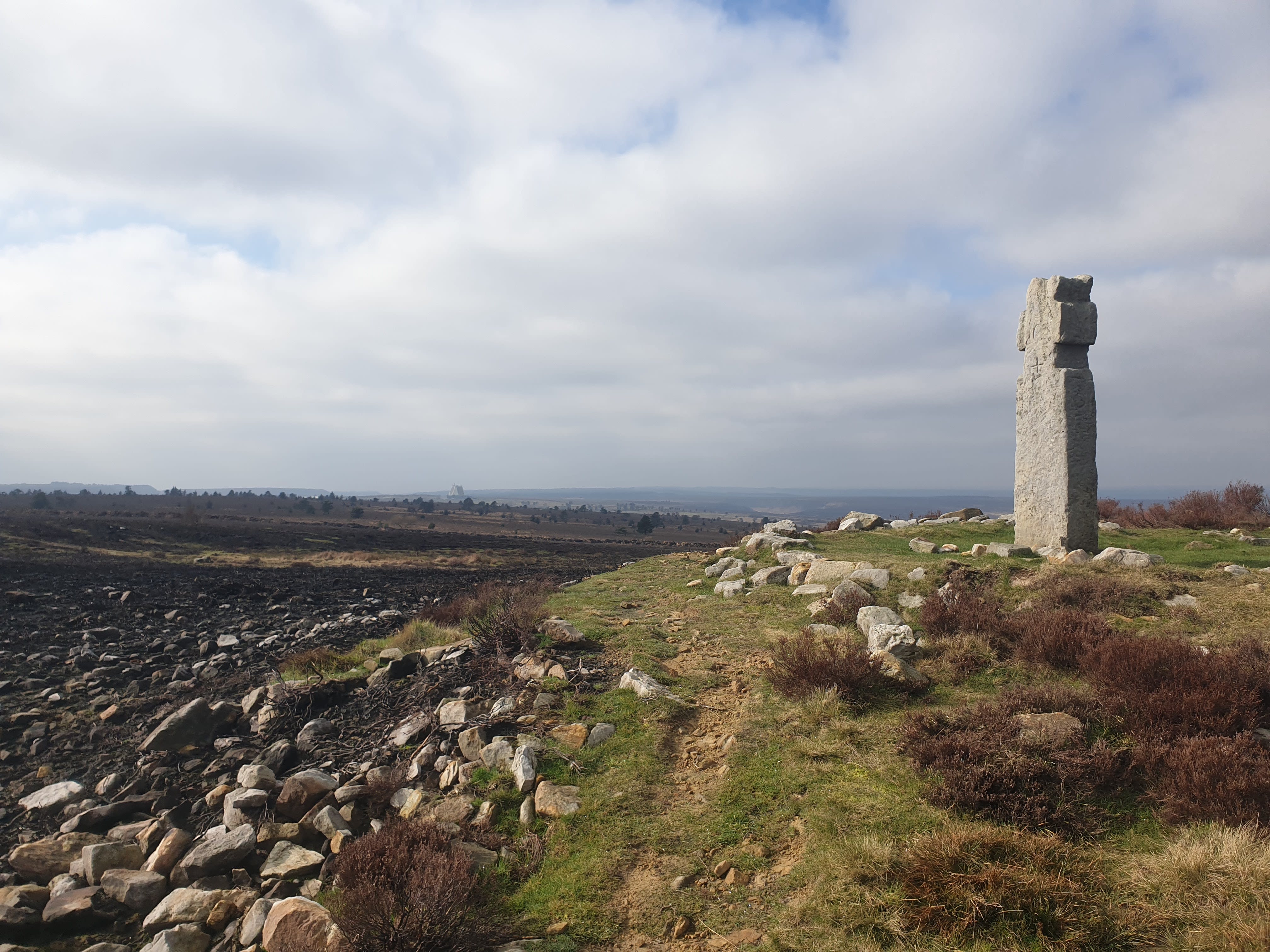
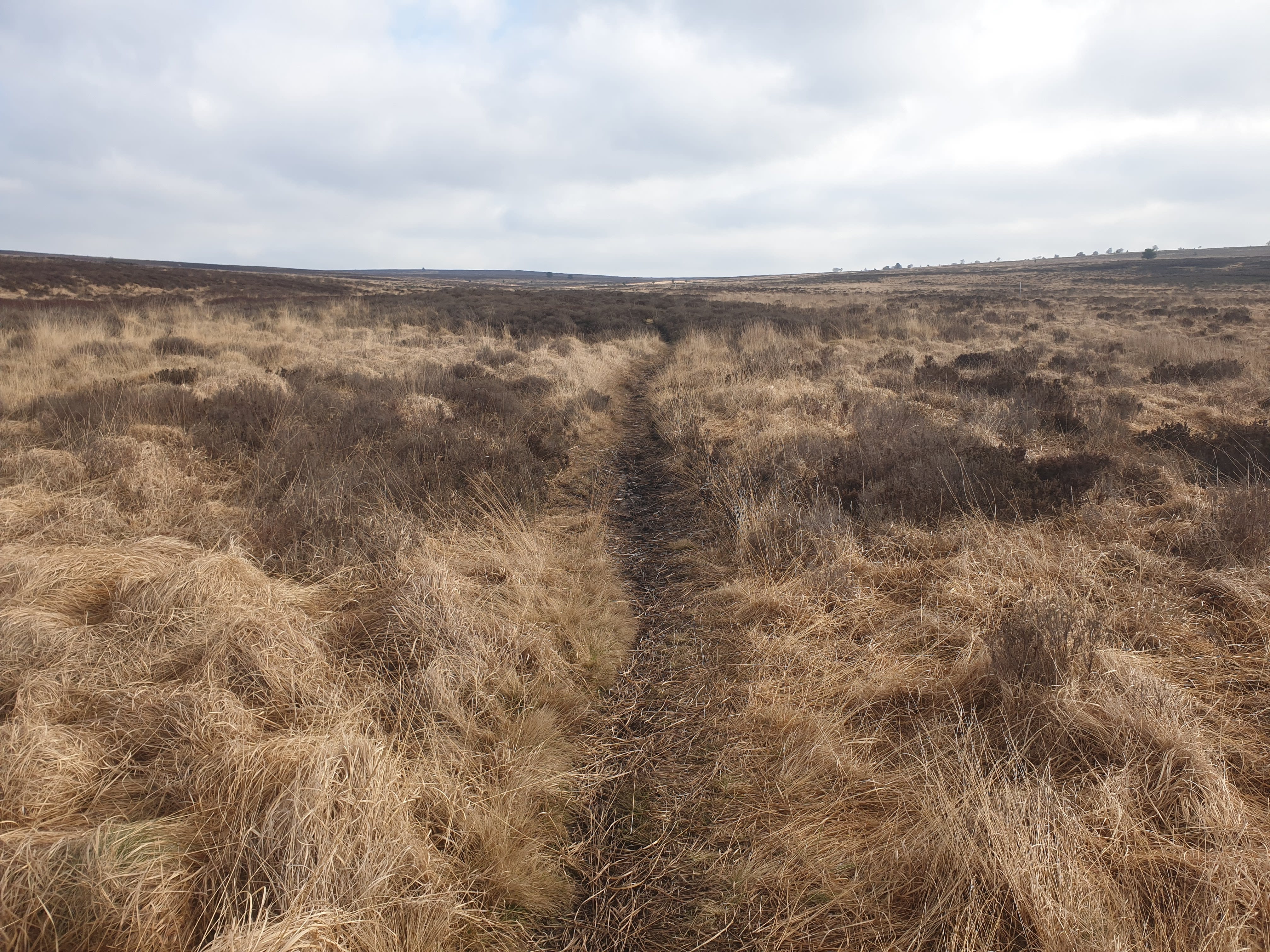
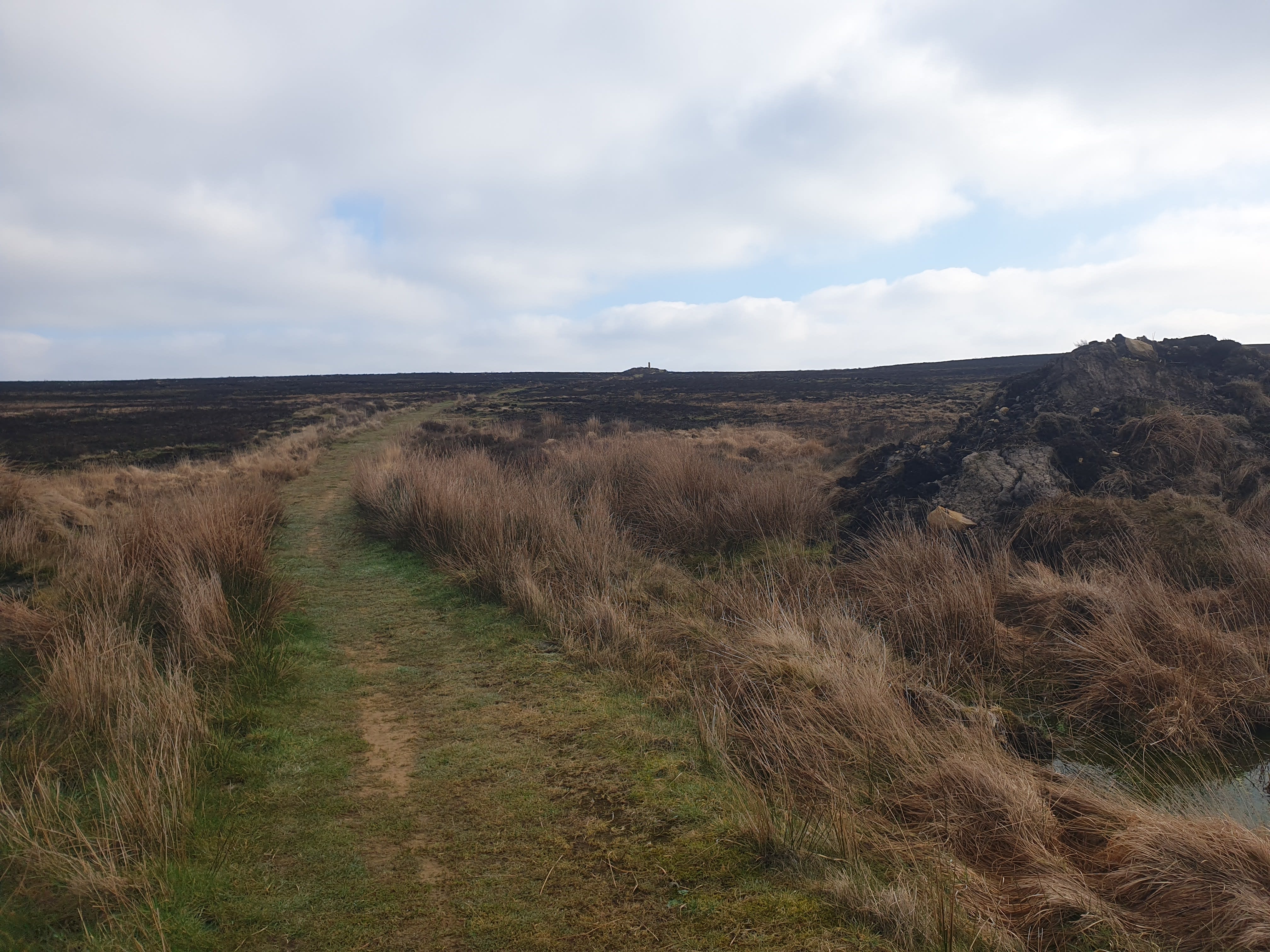
After taking in the views from the cross, its time to head south along a muddy track.
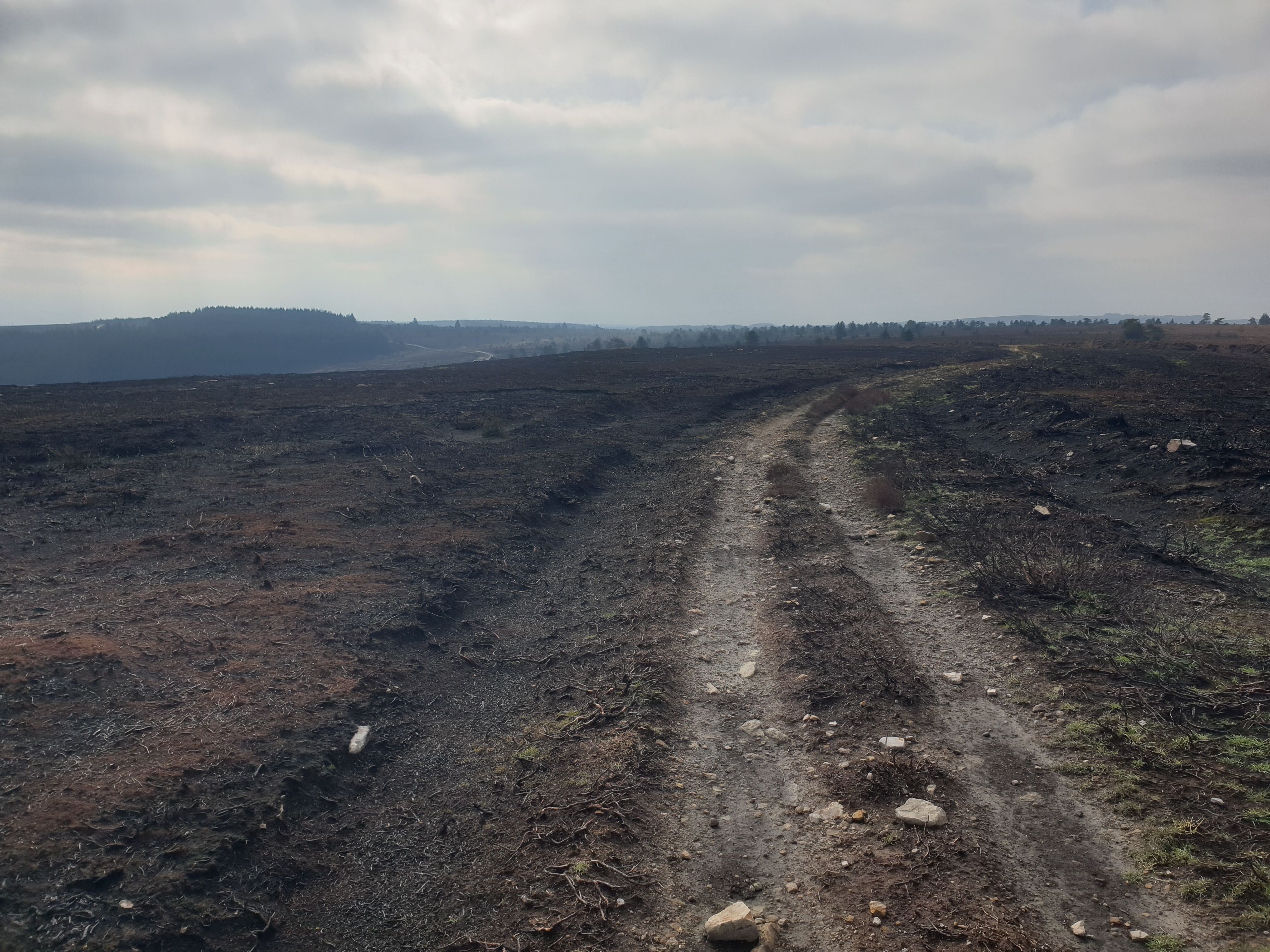
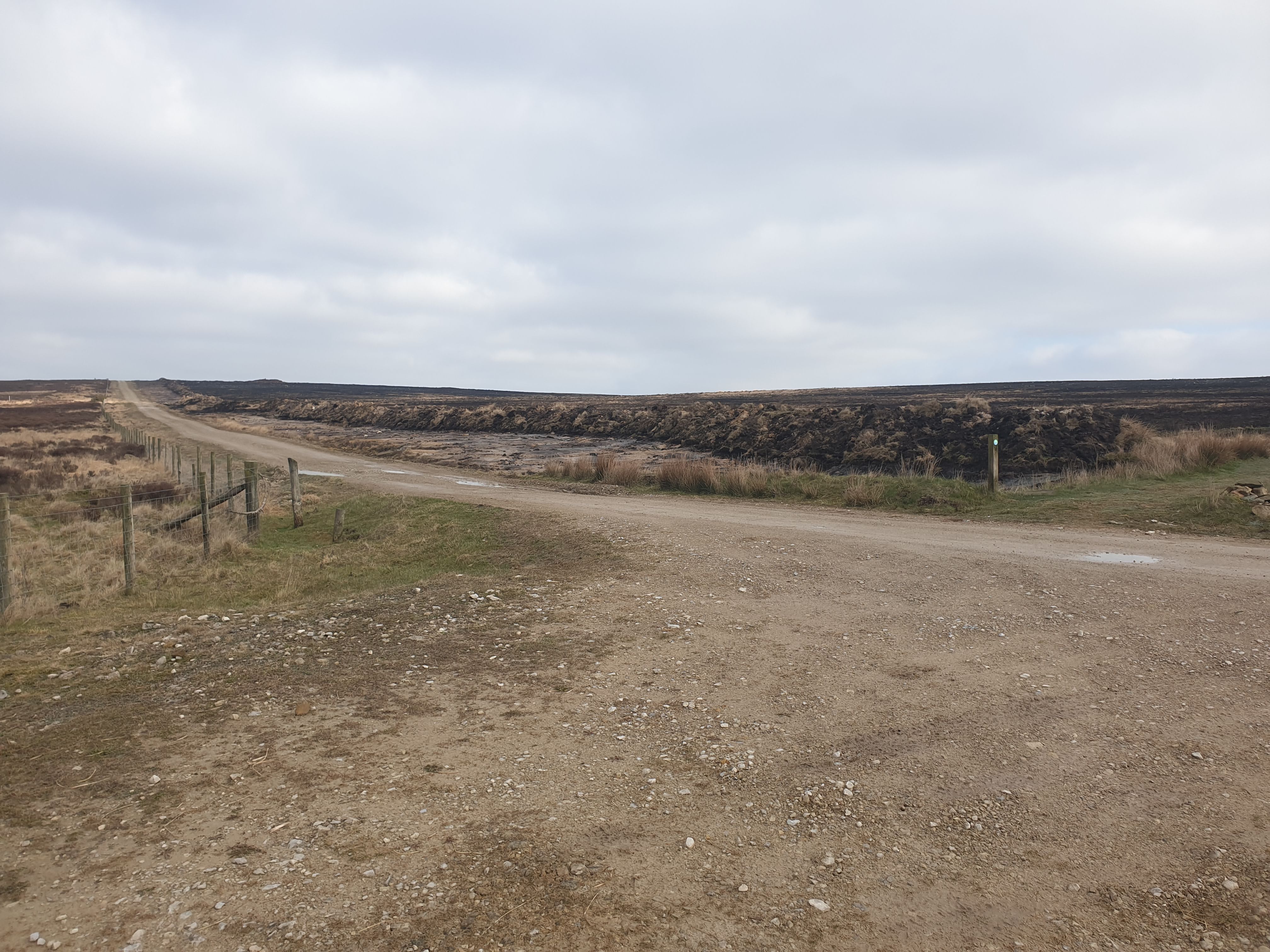
As you follow the track you can see the firebreaks from last years fire.
Keep following the muddy track south towards a forested area.
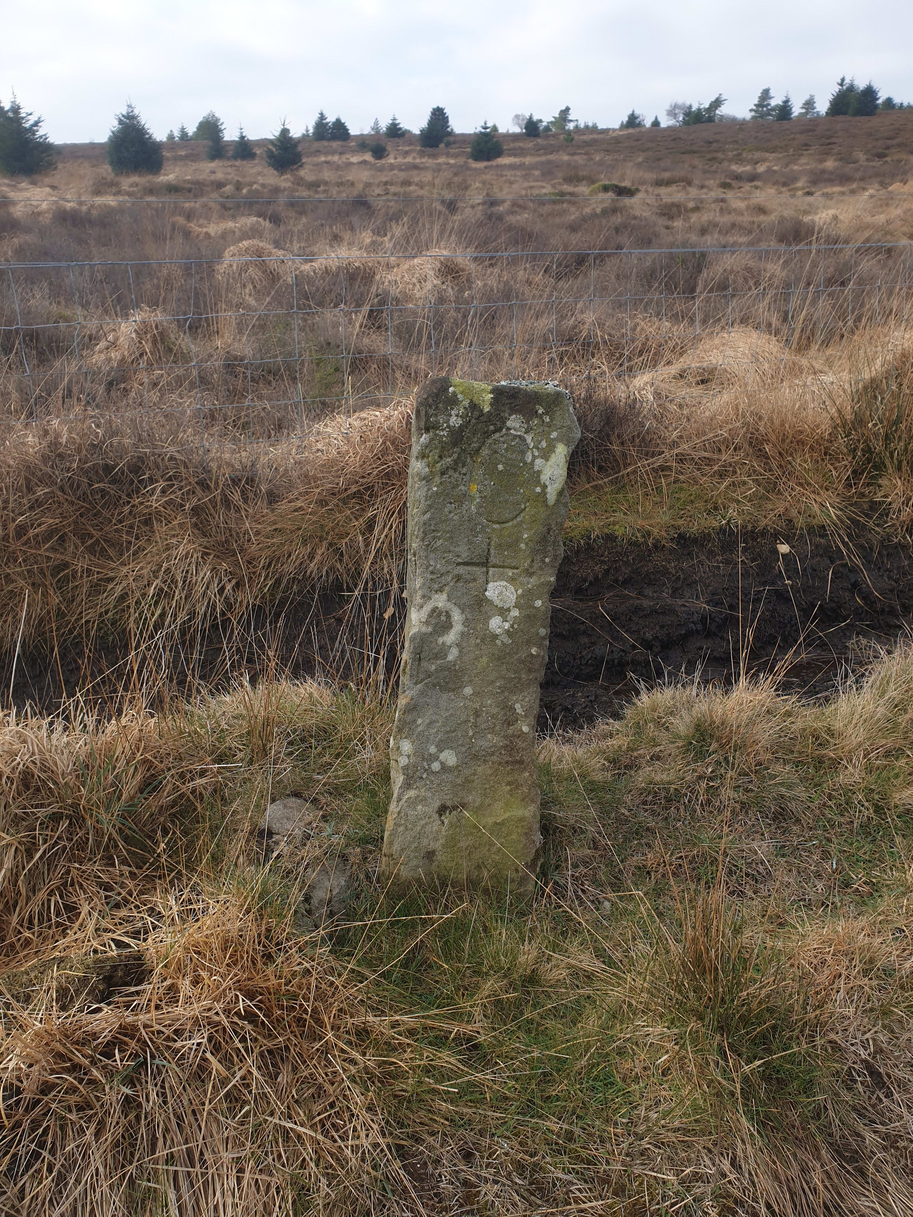
A couple of stone signs alongside the track.

As the track approaches the forested area the track splits in two. Take the track to the right, heading south west.

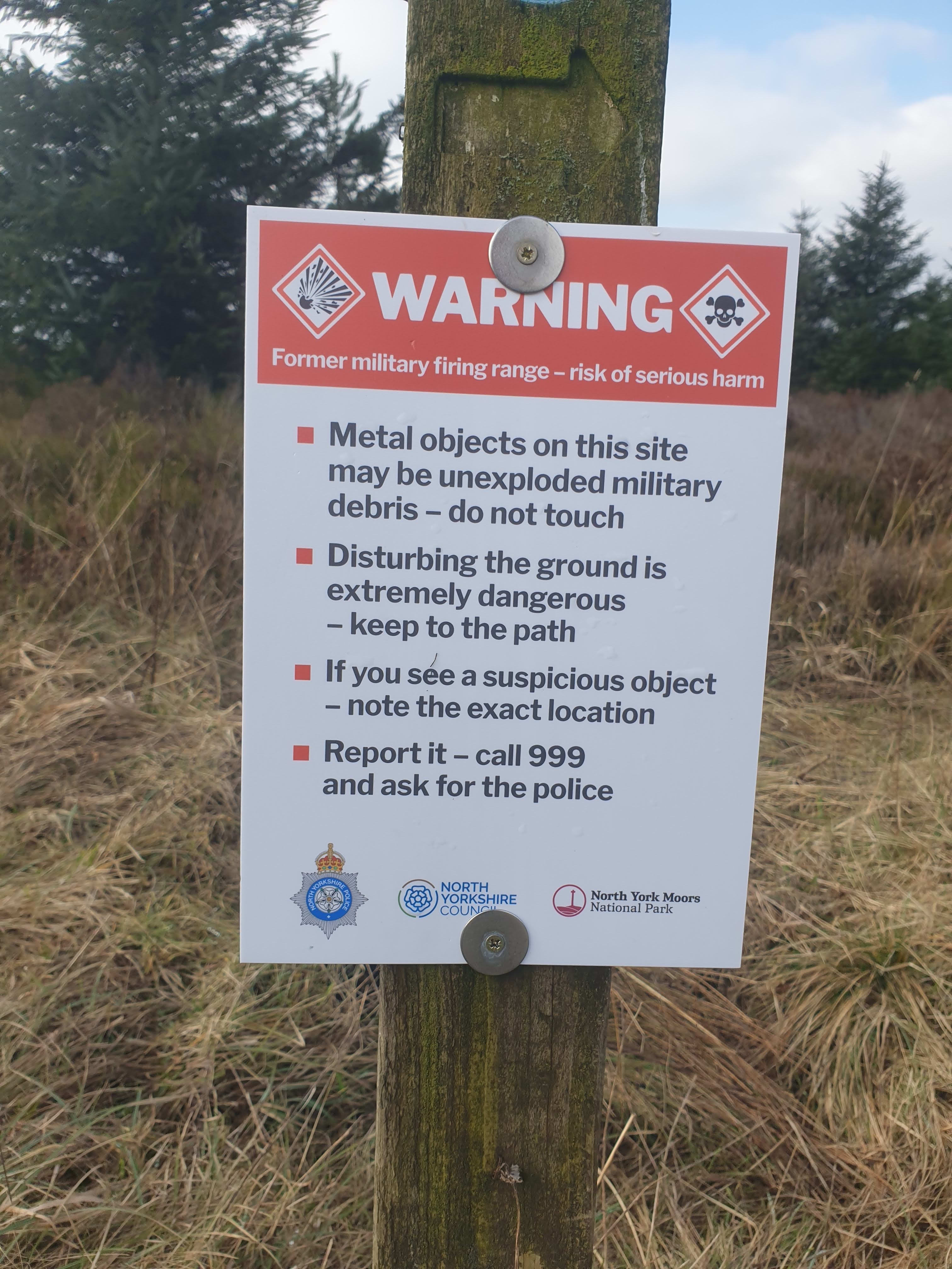
Another warning sign for the collection.
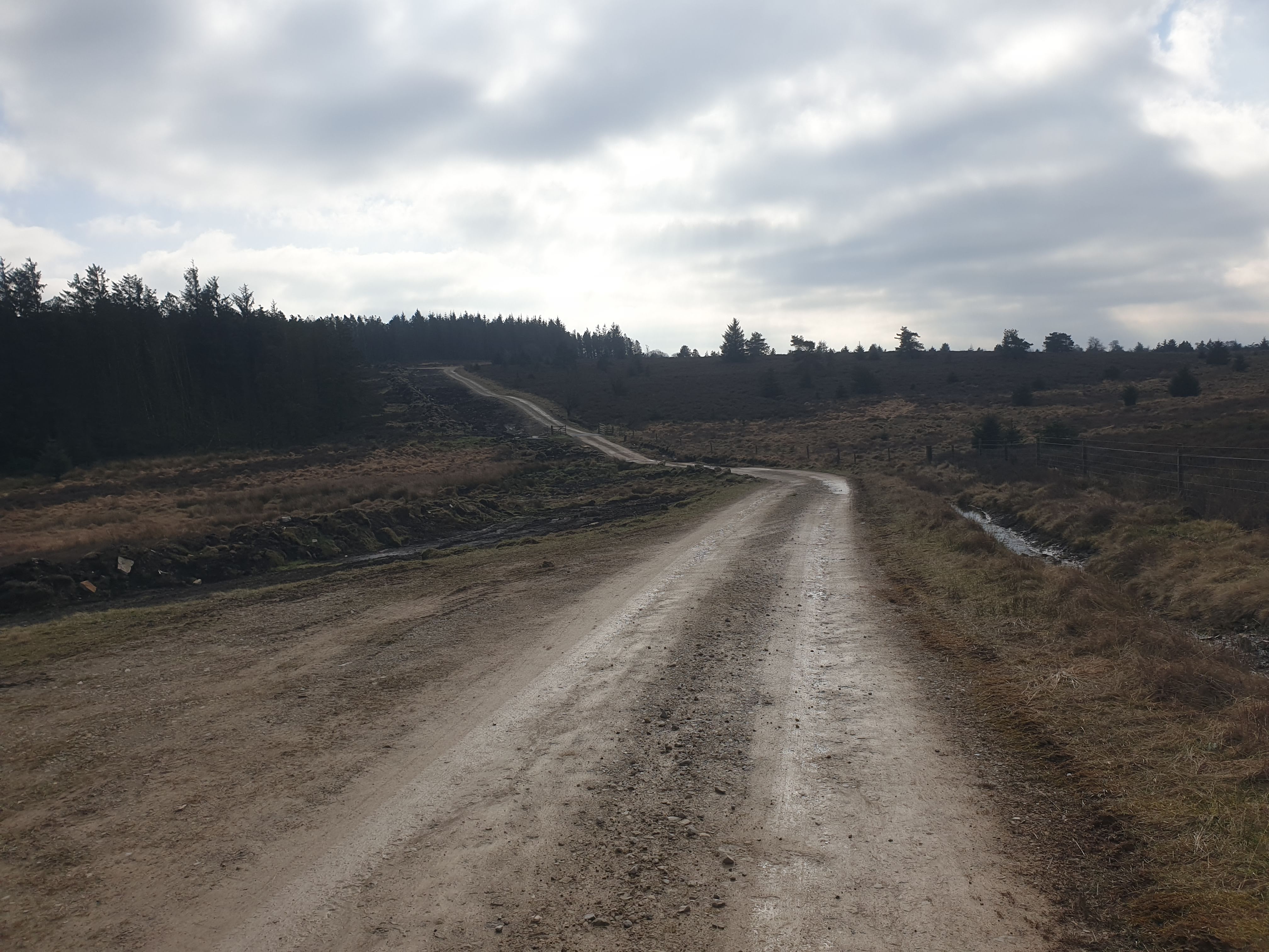
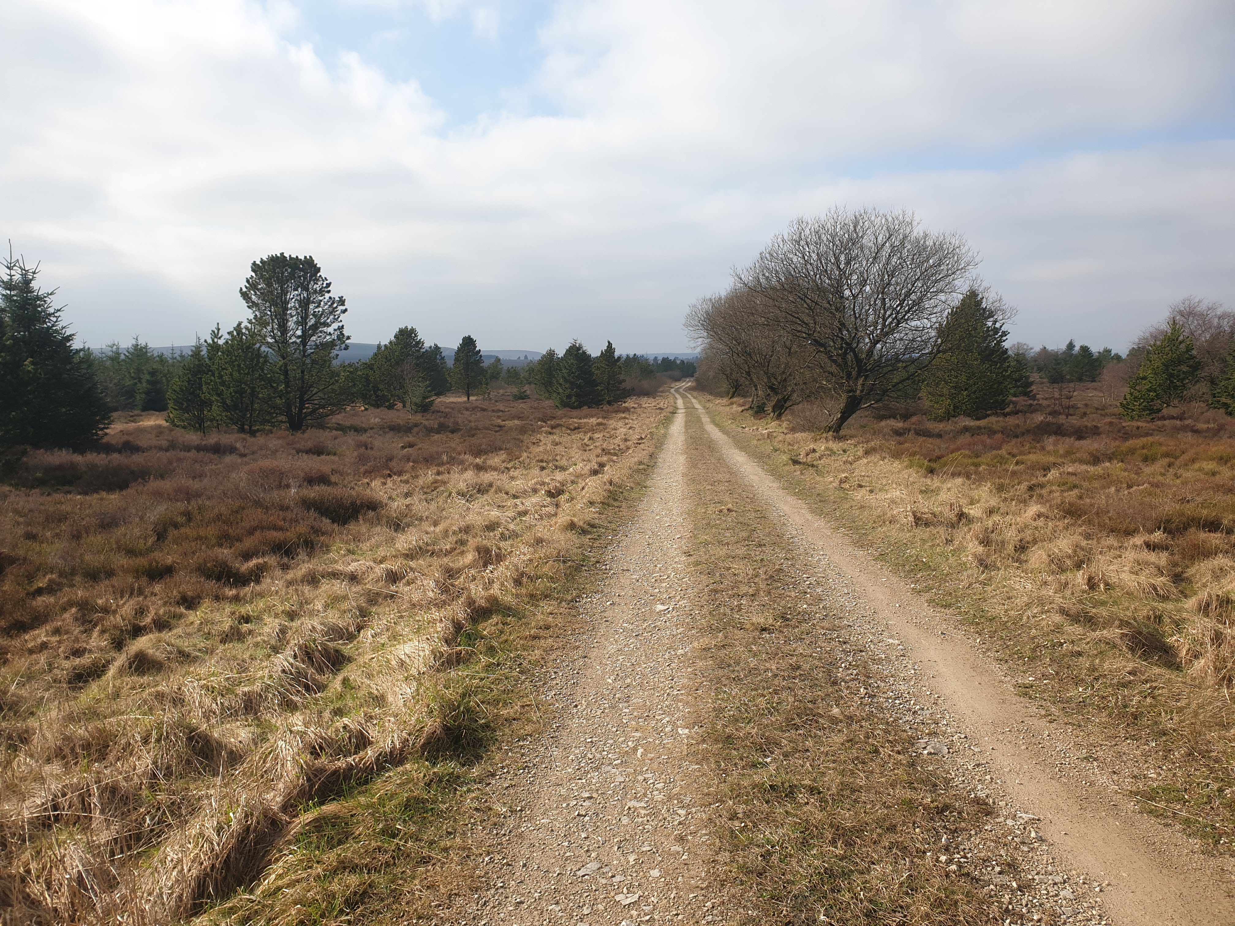
This gravel track is nice and level, heading west to the RAF base.

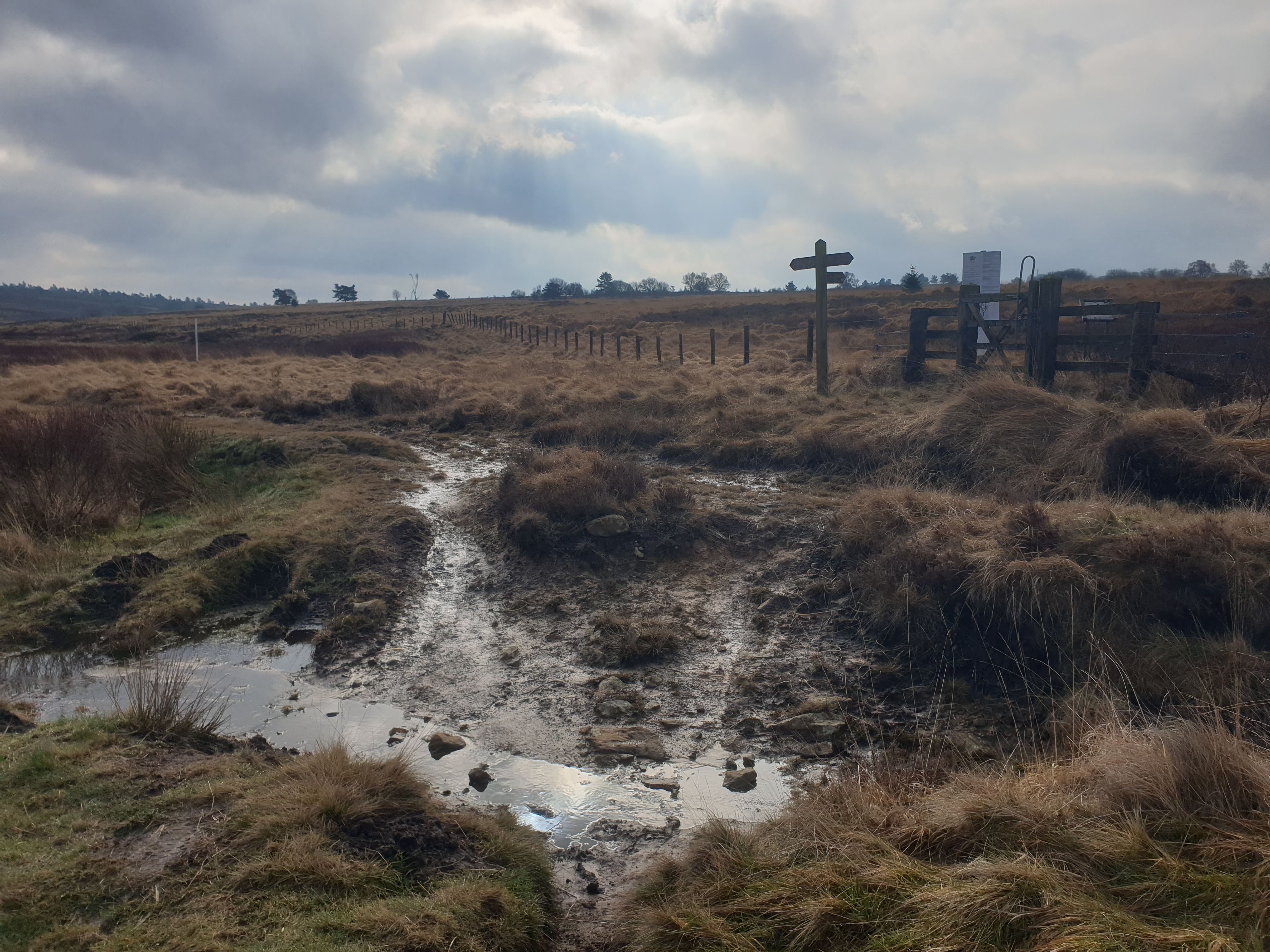
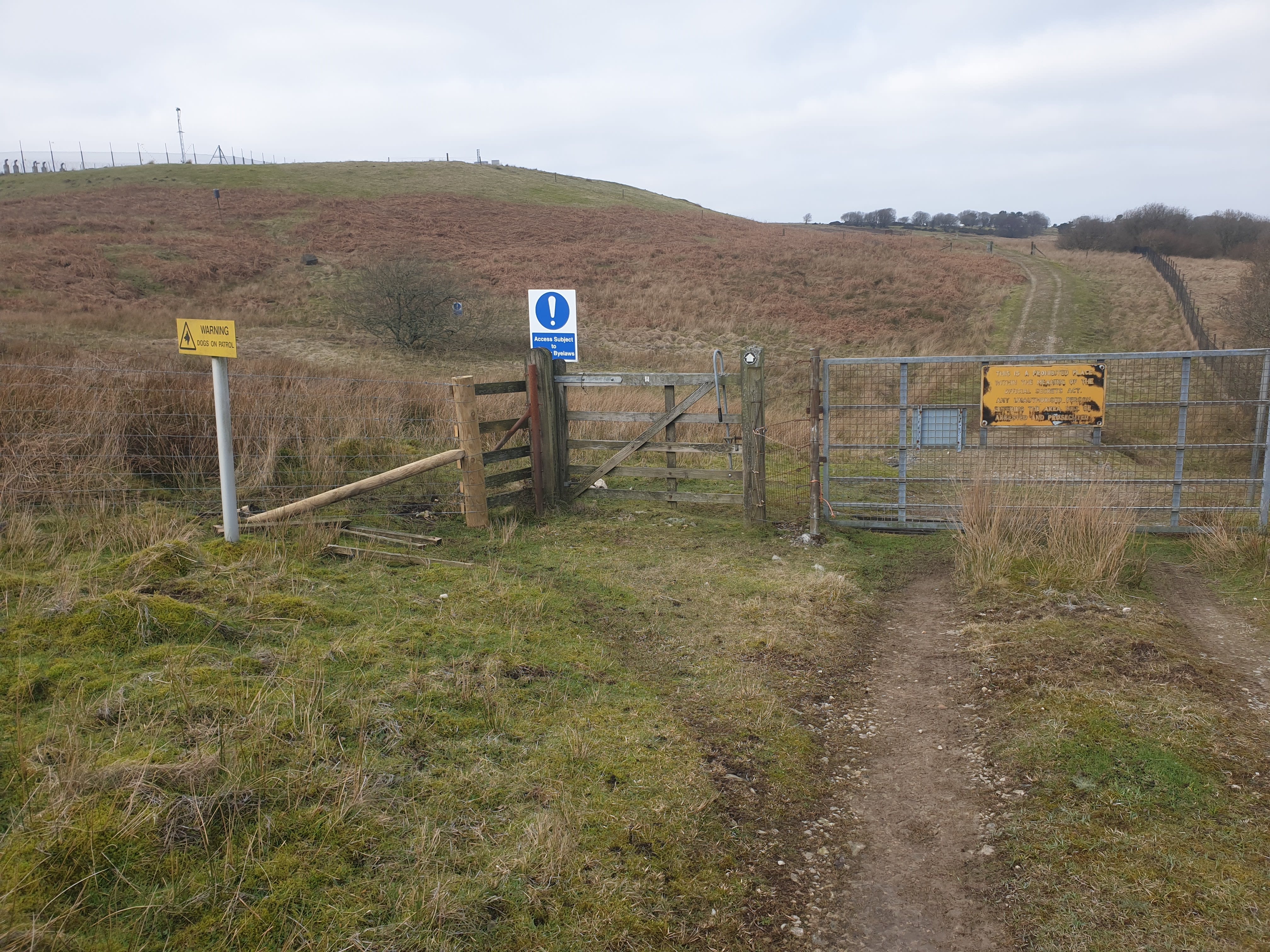
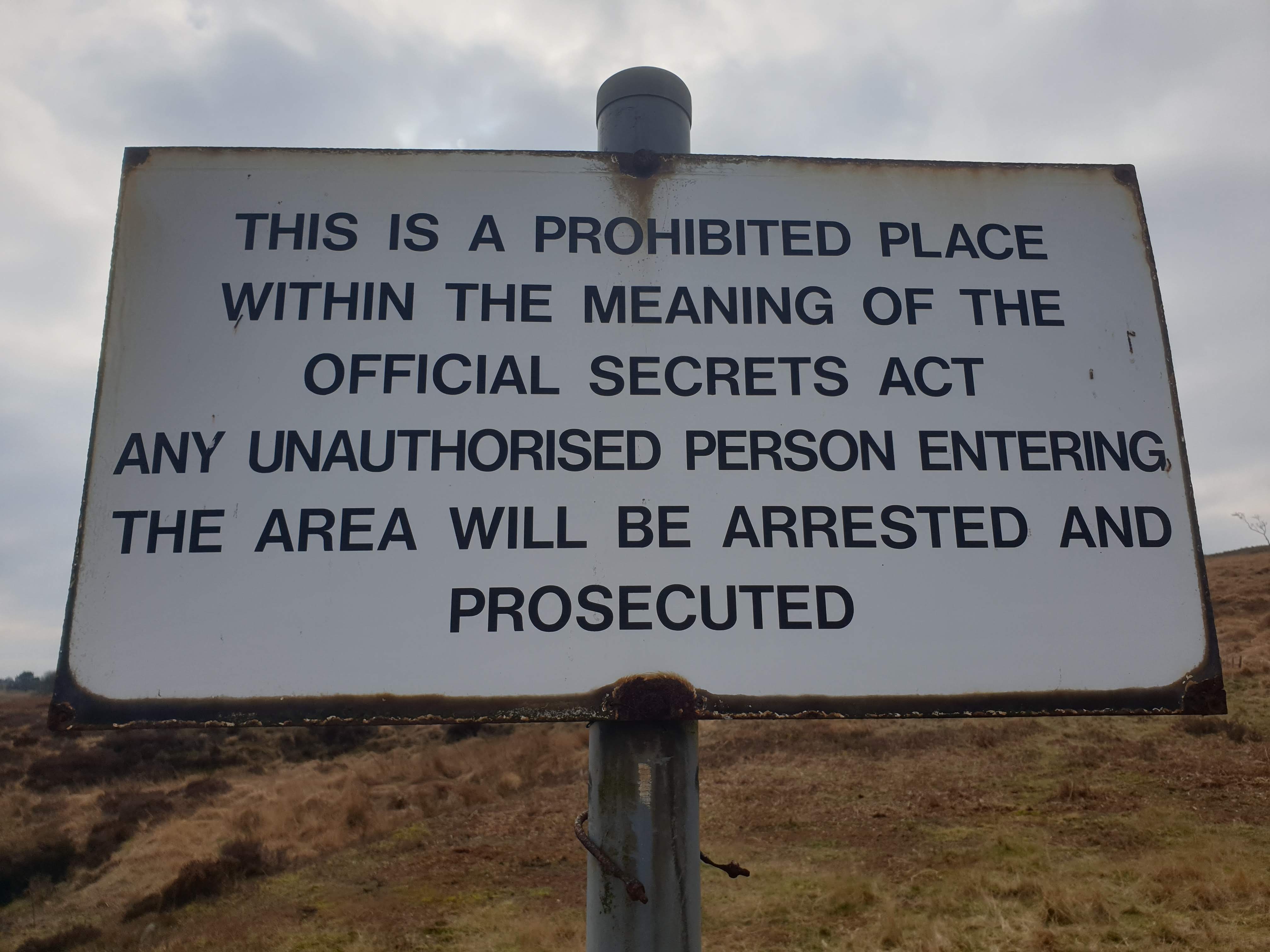
Another collection of warning signs. Note the gate does have a footpath sign on it, it is absolutely fine to follow this path alongside the RAF base.

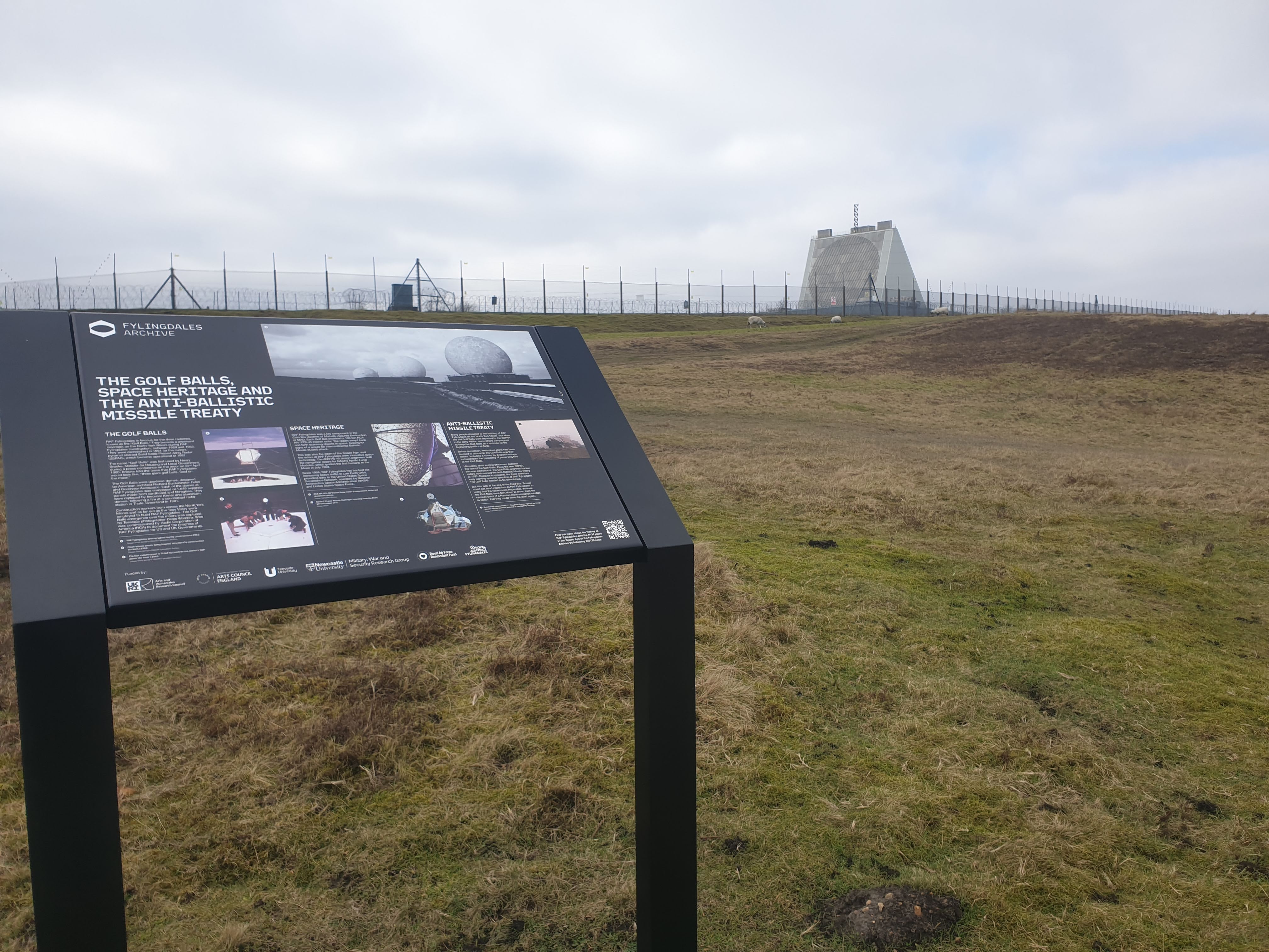
There were no signs of any military personnel, unless they were in disguise?….
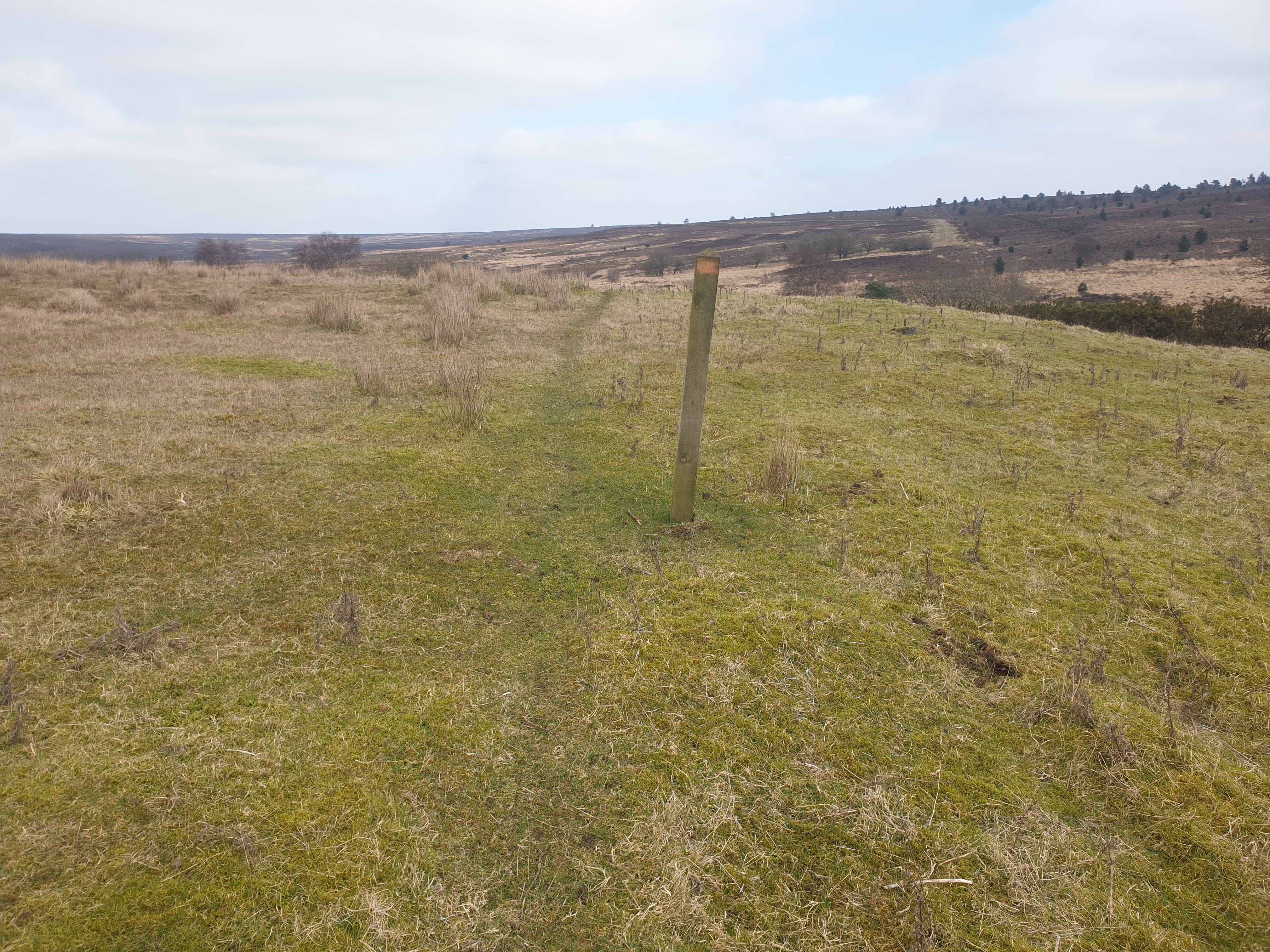
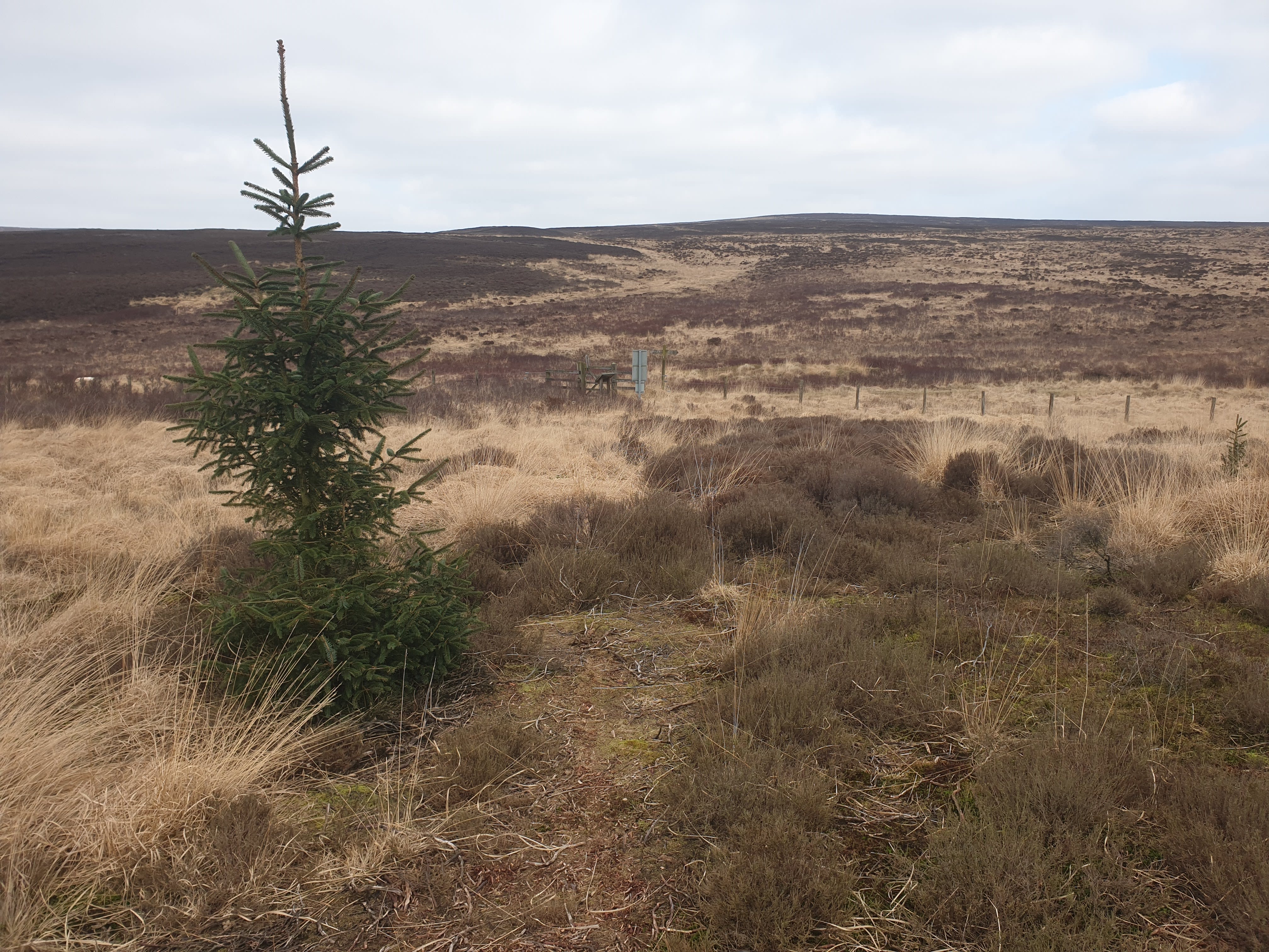
After passing the base the path then heads north across grassland, the path is easy to follow with the wooden orange marker posts.
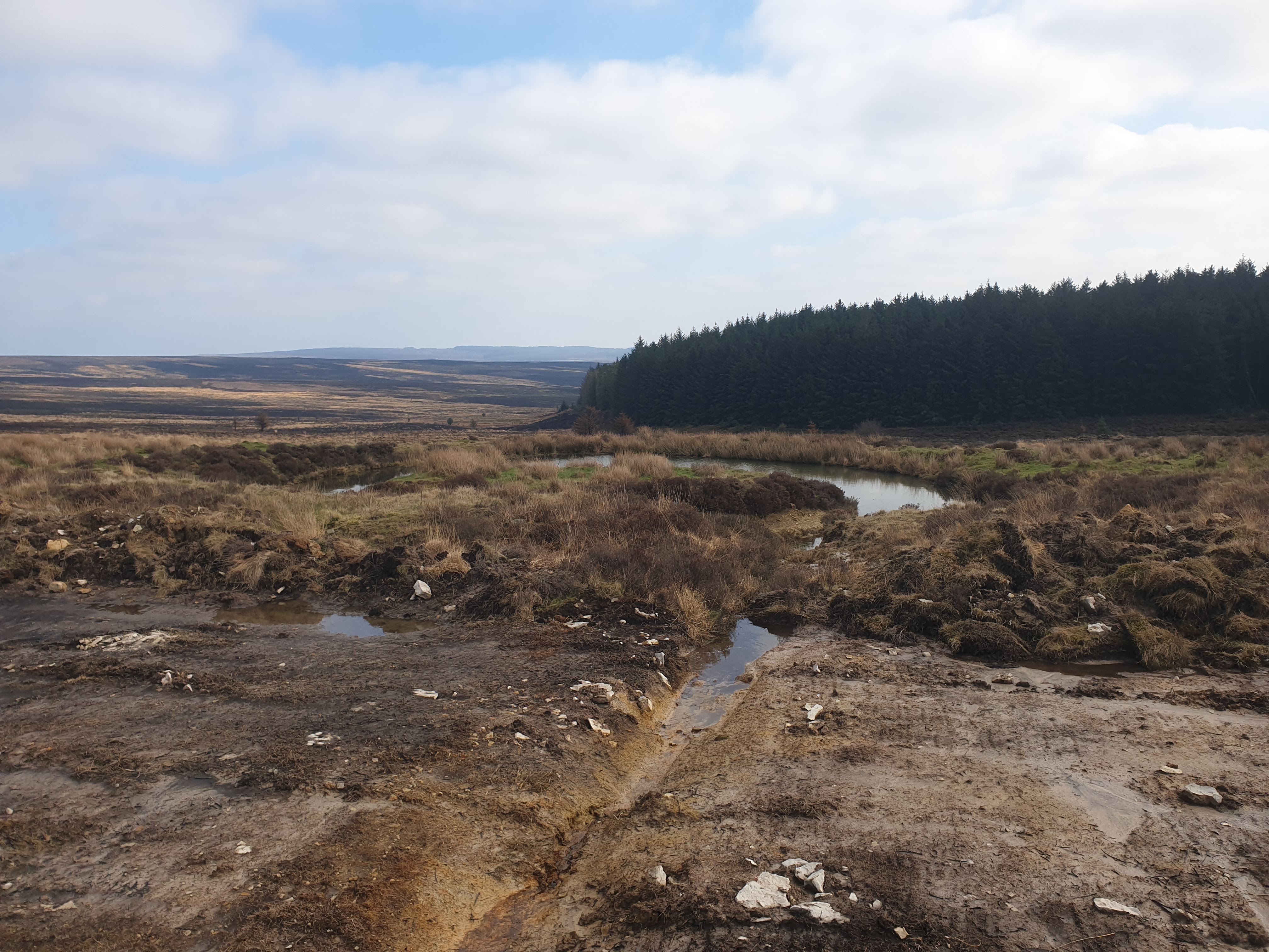
Keep following the path north alongside Eller Beck, the path can get a bit marshy in places and follows a fence line heading west for a short distance.

One final warning sign, this one was the more worrying but again, as you find further along the route, the path is fine to use.
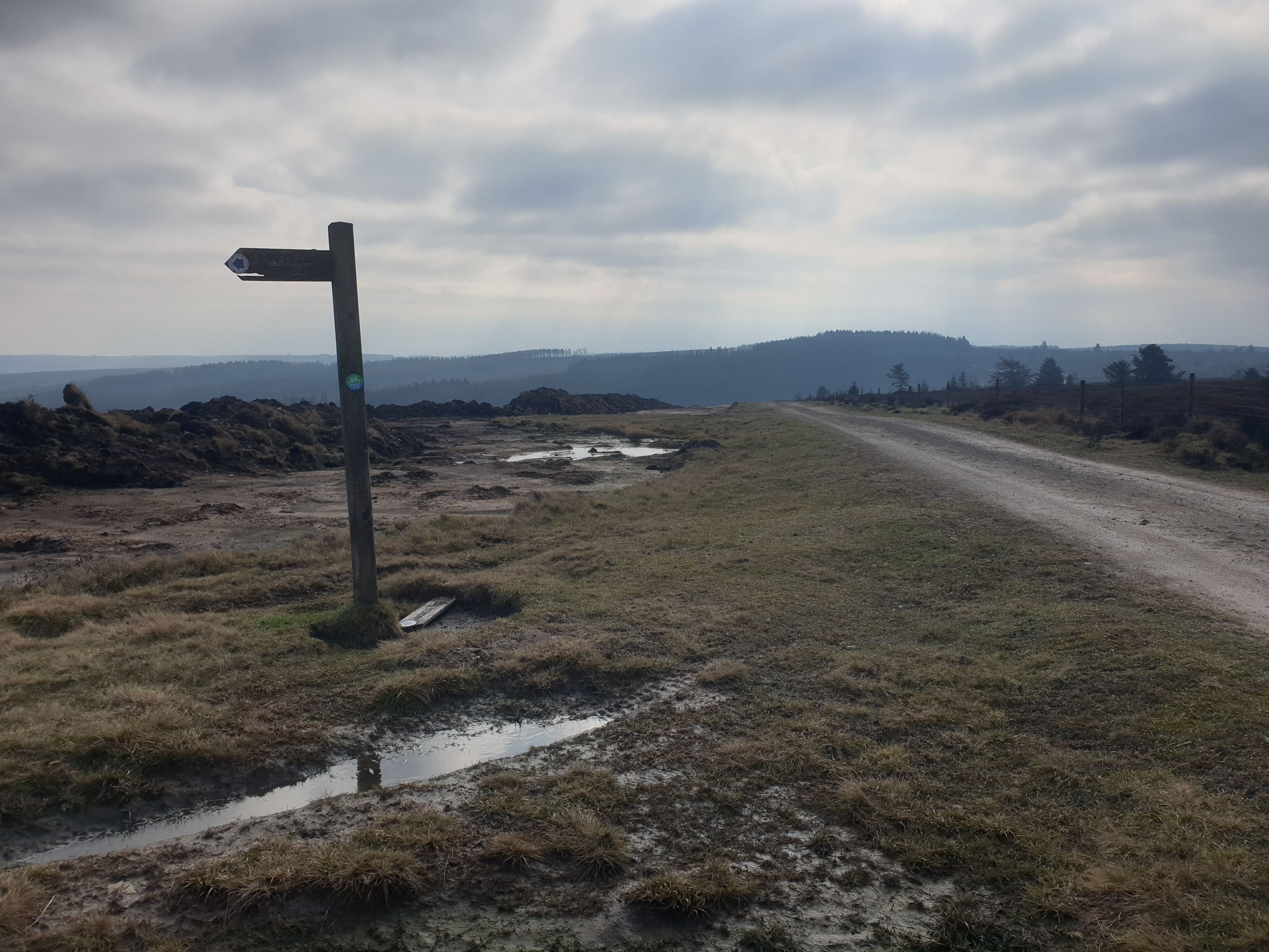
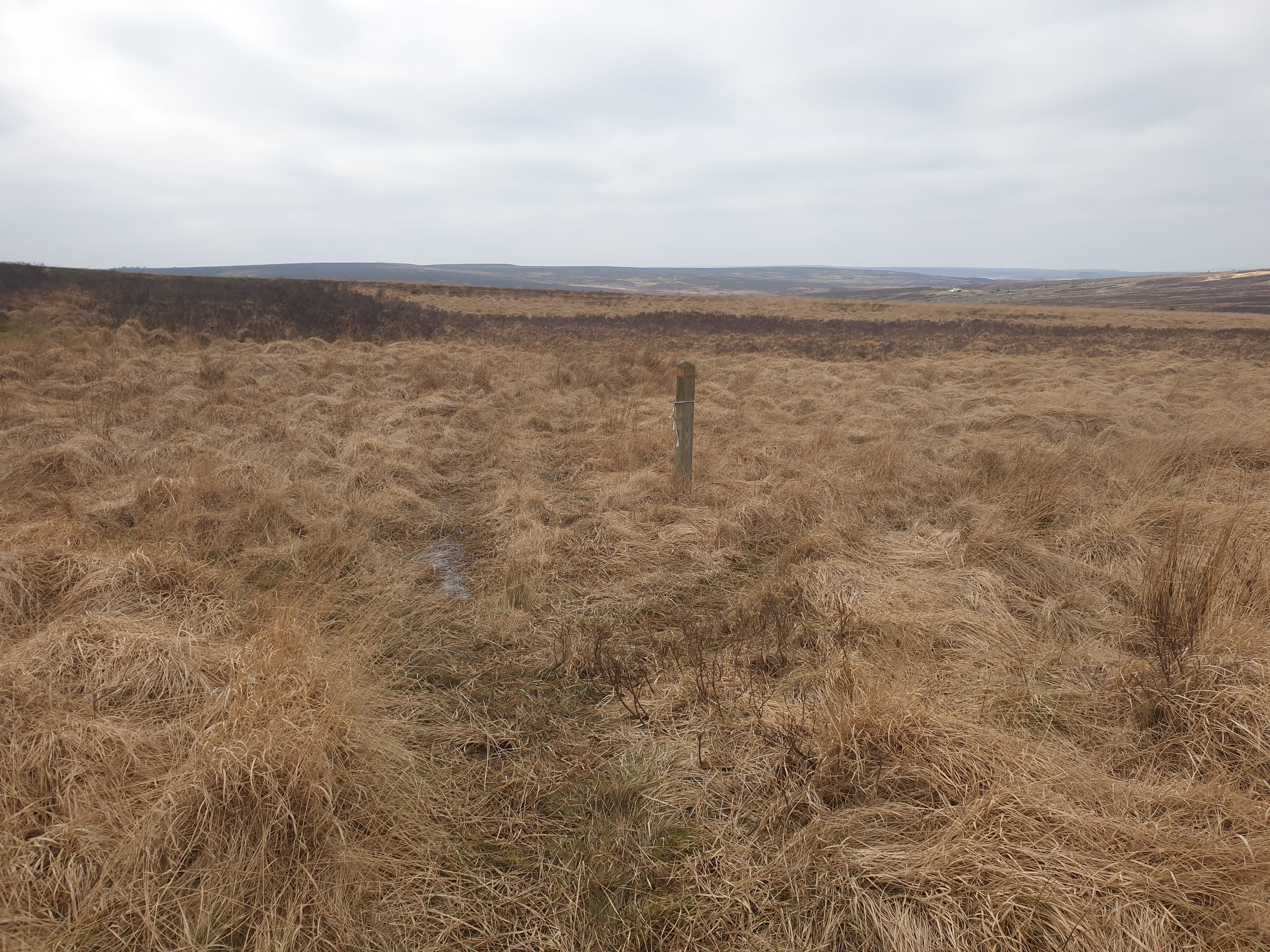
It was at this orange marker post below where the westerly path tuns right heading north back to the path we were on earlier.
Here is the gate with the footpath signs we saw at the start of the route.
Permissive Bridleway.
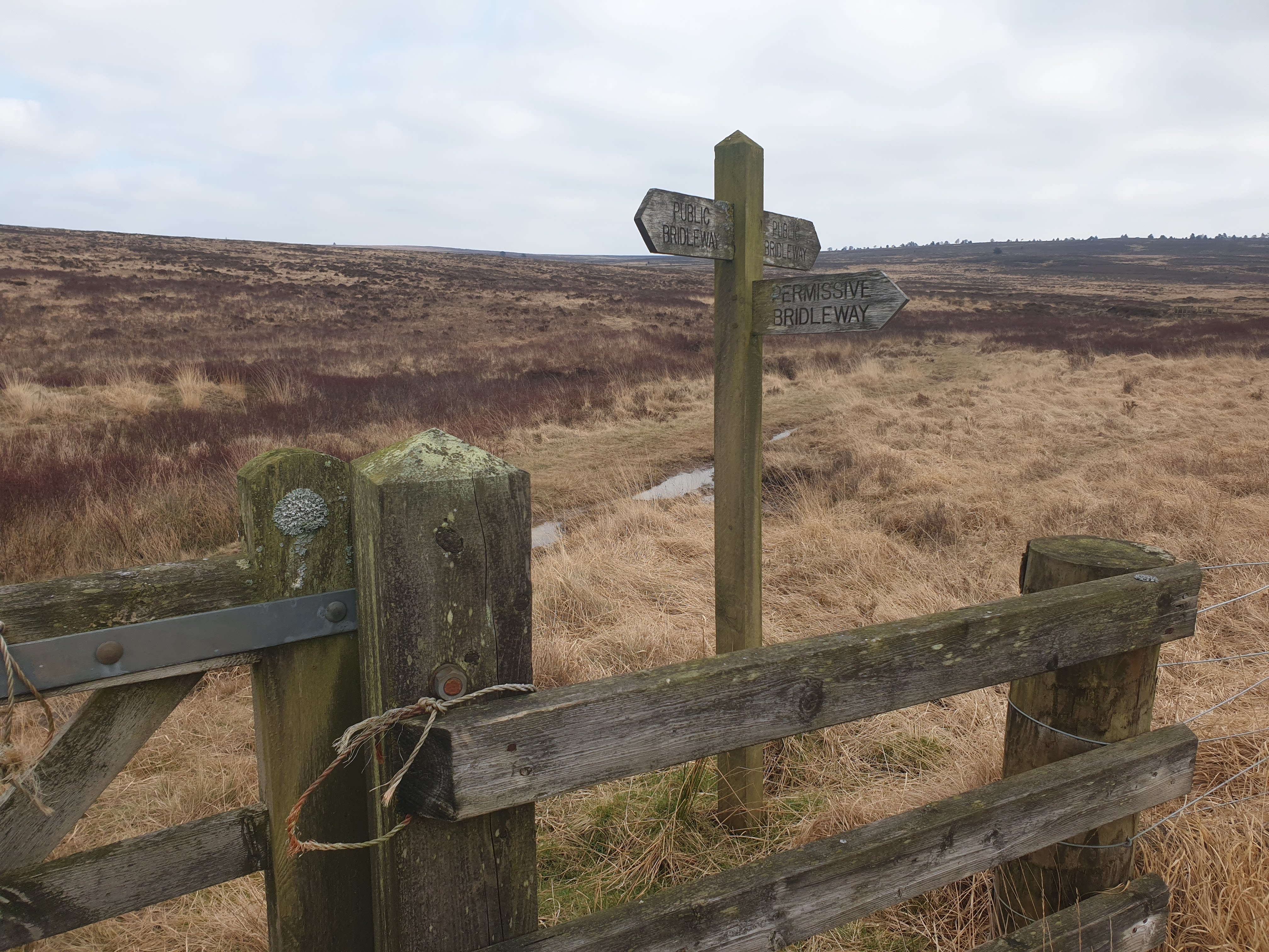
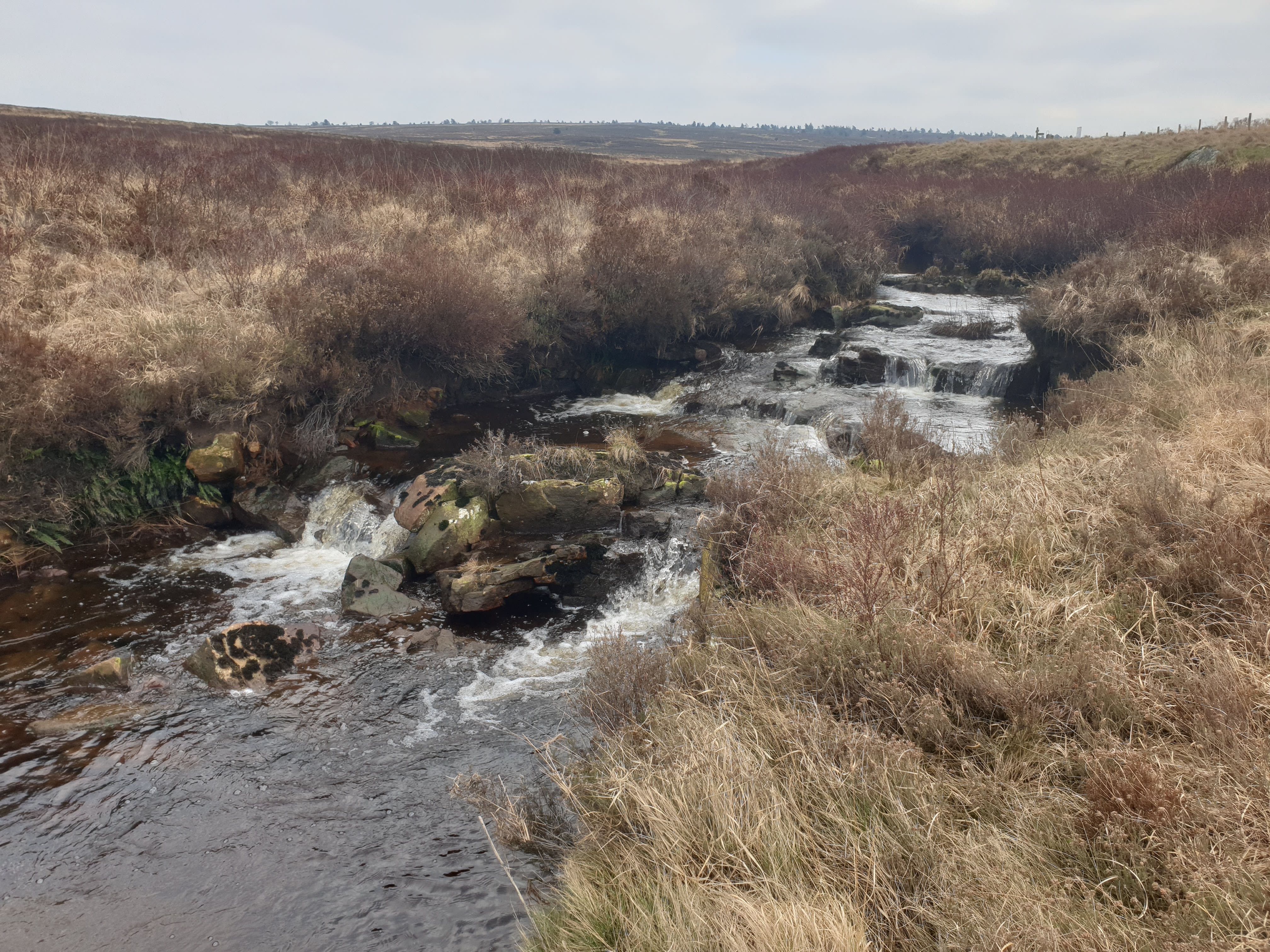
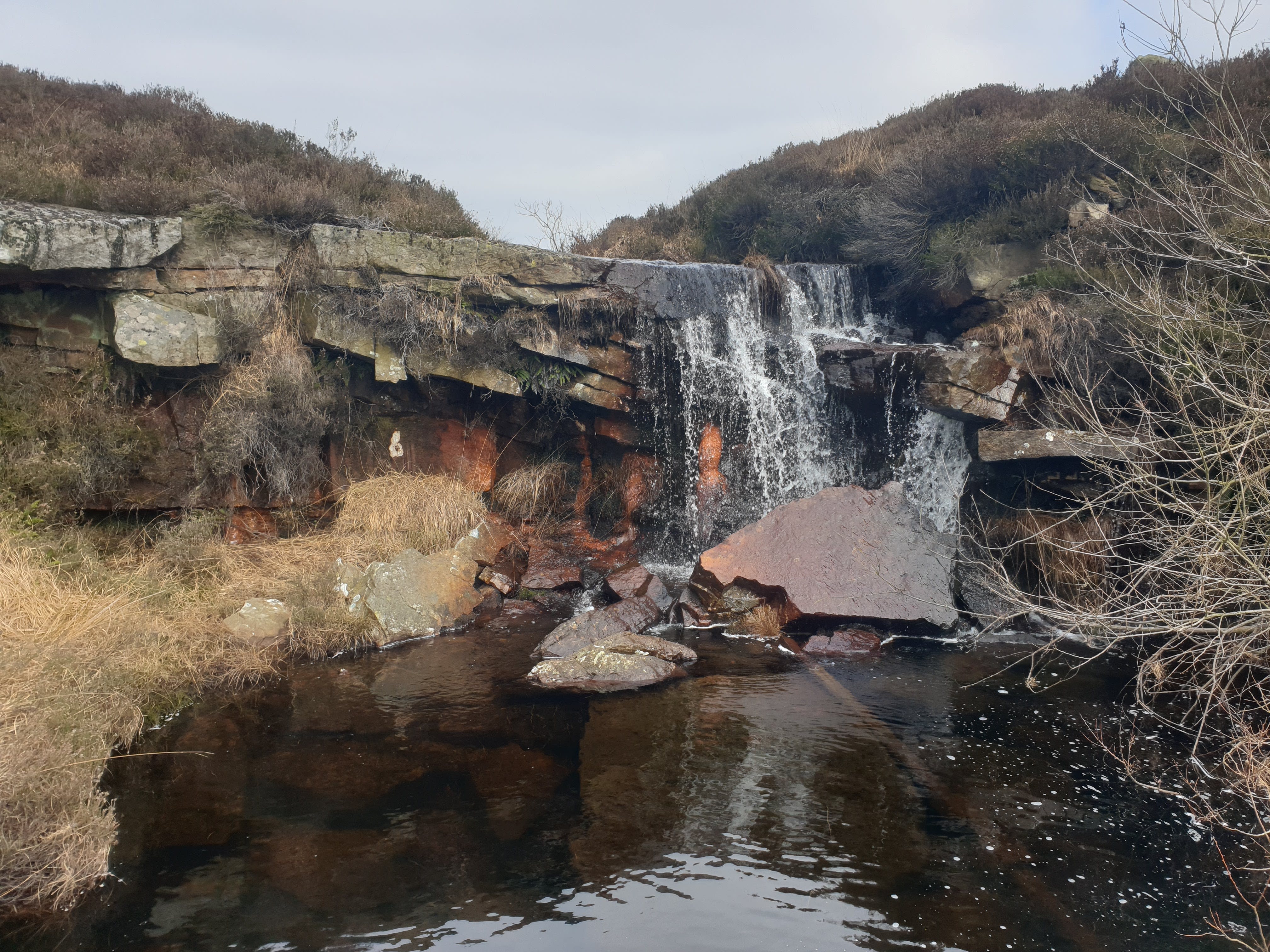
At the footpath sign its just a case of turning left and heading back along the path we were on earlier. This time the beck, with a couple of small waterfalls, is on the right.
The final part, back along the side of the A169 with Tiggy in the car park on the left.