Now and then when fancying a change of seaside scenery, Runswick Bay is the beach of choice. In the winter months its free to park too, so one February I decided to park and have, what turned out to be a very muddy hike up the coast to Staithes.
If you are visiting the area and fancy a quick trip onto the beach
check those tide times!
This is the route I took, an anti-clockwise loop starting from Bank Bottom Car Park. Heading north and following the coast along the clifftops until I passed through Staithes then its a left turn at Cowbar, inland for a couple of miles through woods and fields heading back to Runswick Bay.


Leaving Tiggy at the car park, this is the closest this hike gets to Runswick Bay beach.

Heading inland for a short distance, following the road uphill to Runswick Bank Top, taking a right turn between two buildings. Make sure you are the correct, left, side of the hedge, by the Runswick Bay Hotel car park. The Cleveland Way signpost is a little confusing and can seem to point you down the other side of the hedge and down someones drive.
As you follow the path to the cliffs, here is the first view from the top.

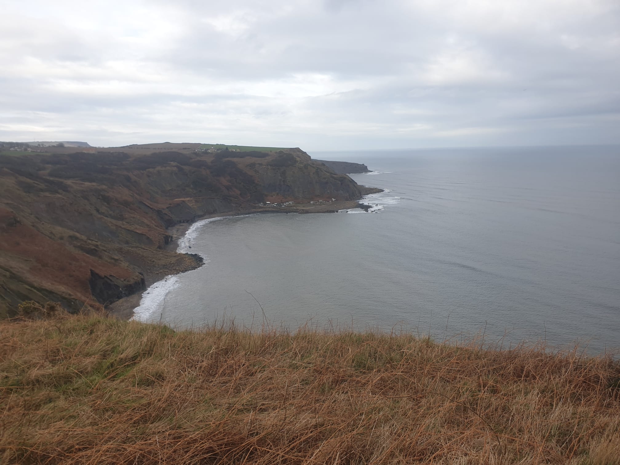
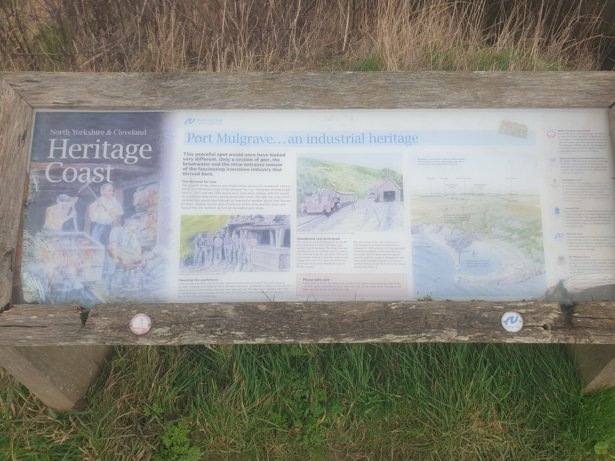
As you follow a very muddy (in a wet February) Cleveland Way north, along the clifftops you pass through Port Mulgrave. This is the halfway point of the cliff part of the route.

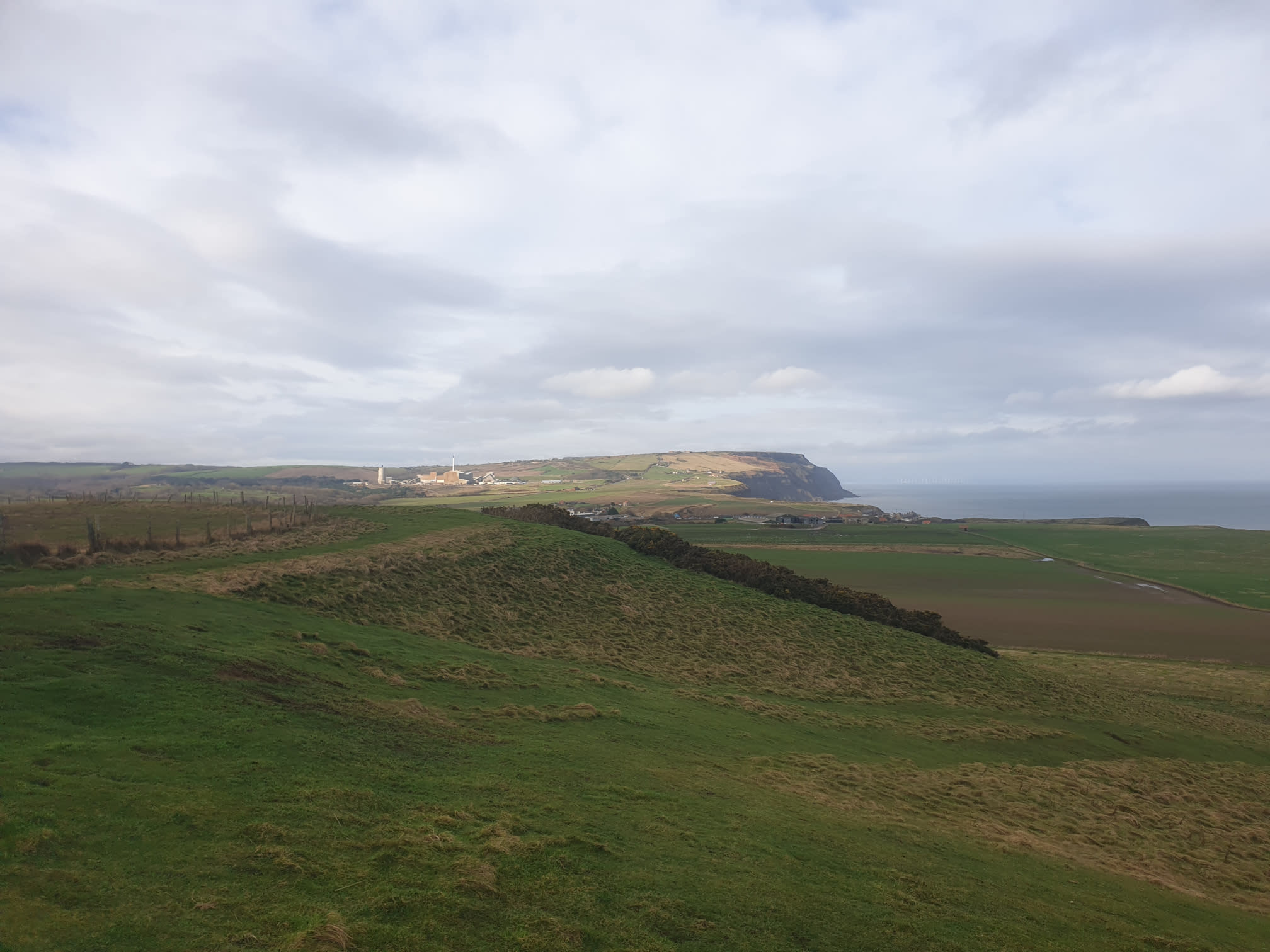
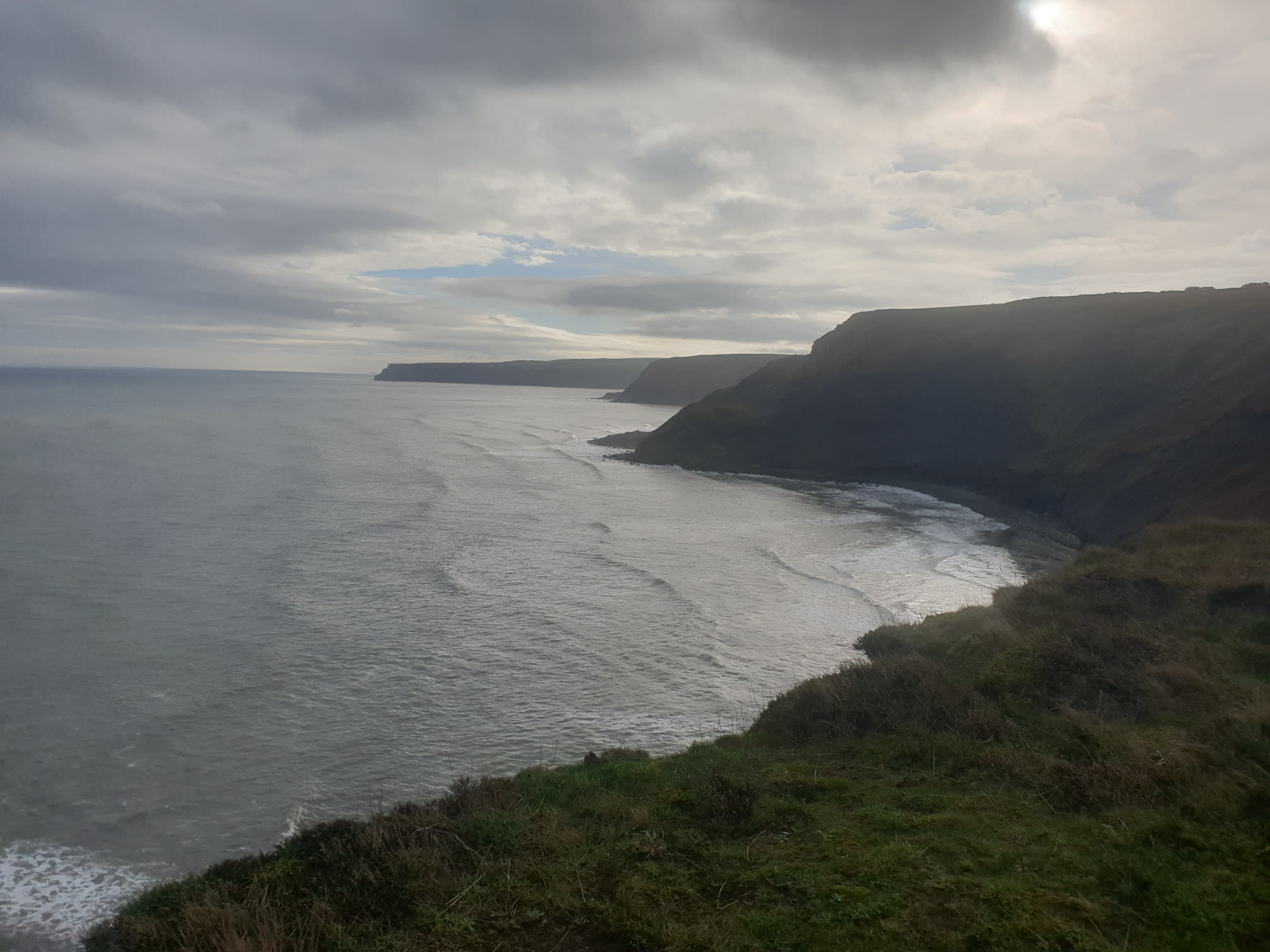
Looking up the coast north you can see Boulby Mine in the distance. Staithes is out of shot at the botom of the cliffs to the right of this pic.
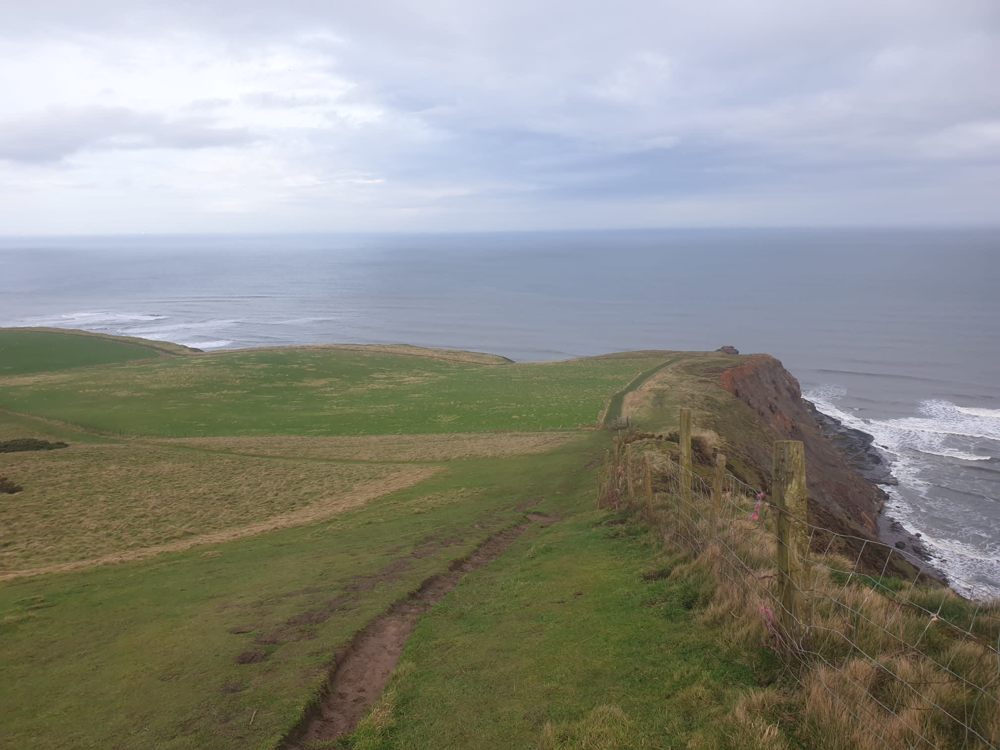
After passing by Port Mulgrave, continue along the Cleveland Way following the clifftops.
Nope, just nope.

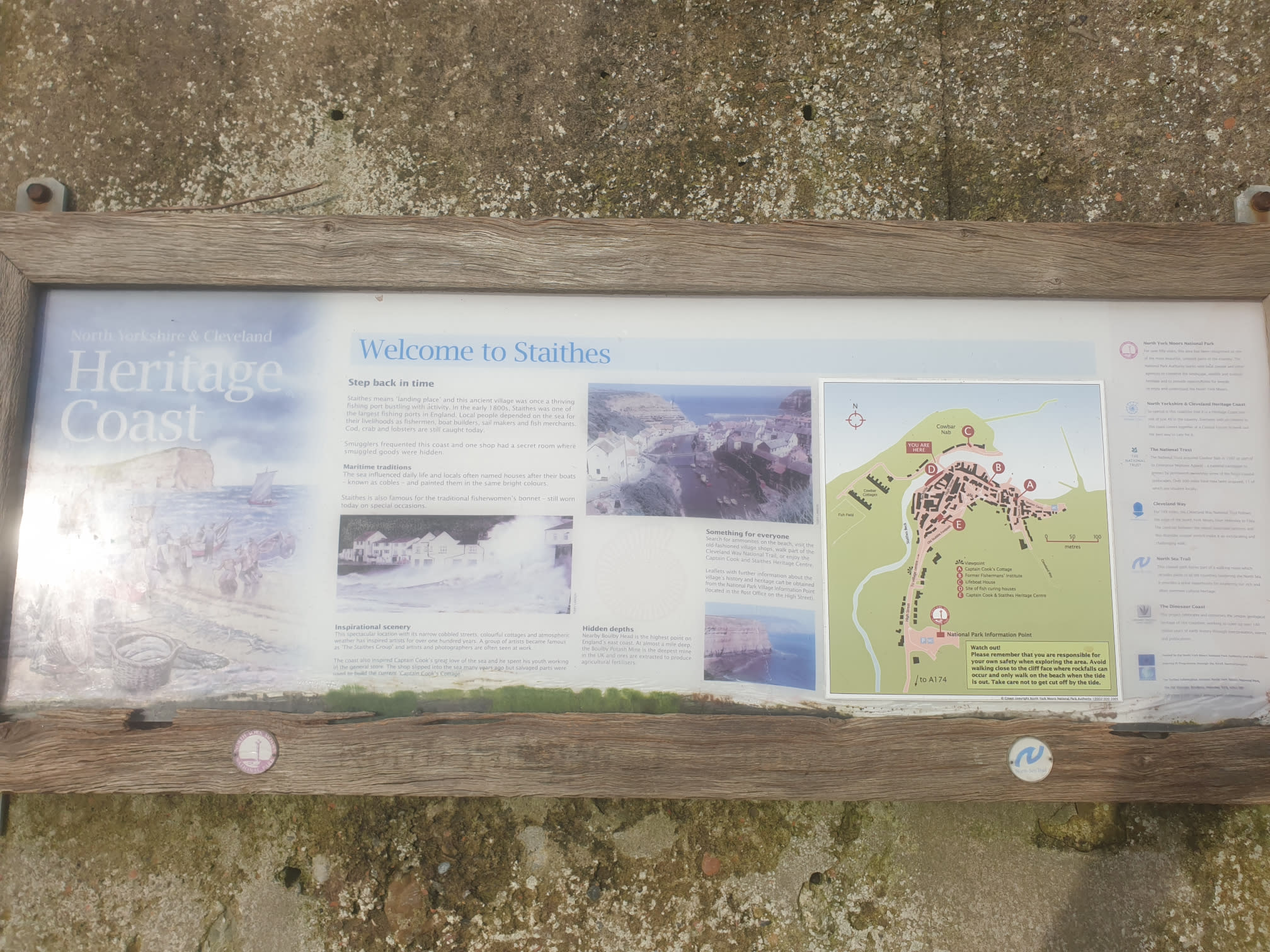
Further along the path Staithes appears. The path from here to Staithes was well used and very muddy after a very wet February.

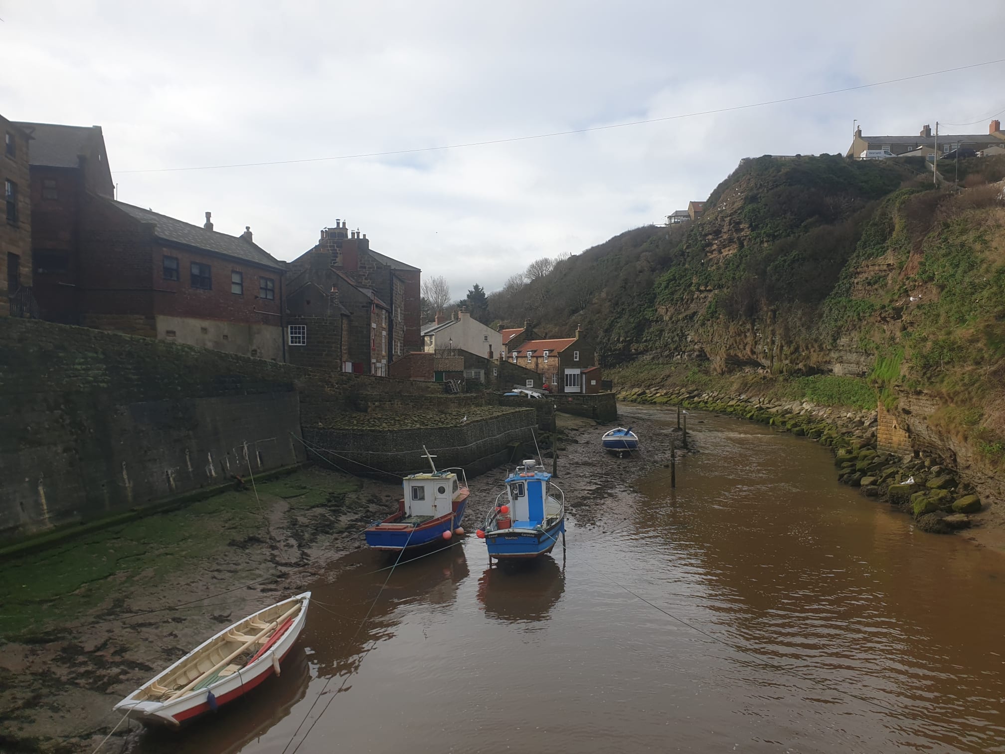
Some pictures from Staithes itself.


The route through Staithes is part of the Cleveland Way, follow the way over Staithes Beck and uphill back to the top of the cliffs. After a few hundred metres along the road on the clifftops turn left, under what was once, I presume, a useful bridge. Now just a bridge in the middle of a field.

Cross under the bridge and through the field past Cowbar Farm to the main road. The route here has you follow the A174 for a short while, I power-walked this bit as I never enjoy walking along roadside, especially a busy A174.
On the right is a road junction, follow the road off the A174 towards Dalehouse. Then at Dalehouse bank, it’s time for another bridge.

The rest of the route follows a path through some woods in a fairly straight line until you get to Newton Mulgrave.

At Newton Mulgrave turn left along the road and follow Newton Lane east, for half a mile back to the A174.

When you get to the A174, cross that and a little to the right is a footpath that takes you through a couple of fields and back to Runswick Bay.