The monument is named after Captain James Cook, a British Royal Navy officer, explorer, and cartographer famous for his three voyages of exploration to the Pacific and Southern Oceans between 1768 and 1779. He completed the first recorded circumnavigation of the main islands of New Zealand and was the first known European to visit the eastern coastline of Australia and the Hawaiian Islands.
Capatin Cook was born near Great Ayton and went to school there, so there are a couple of museums and monuments dedicated to him.
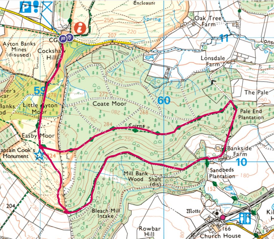
For this tour we start at Gribdale, at Gribdale Gate – Capt Cooks Car Park heading up the Cleveland Way to the monument. Then it was a clockwise loop, heading through the woods to the east of the monuments and a steep downhill down a tarmac road to Bankside Farm. Just past the farm heading back into the woods with a fairly steep uphill climb back to Captain Cook’s Monument.


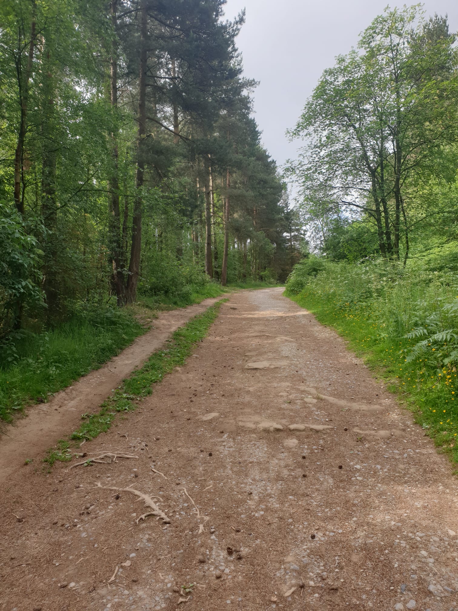
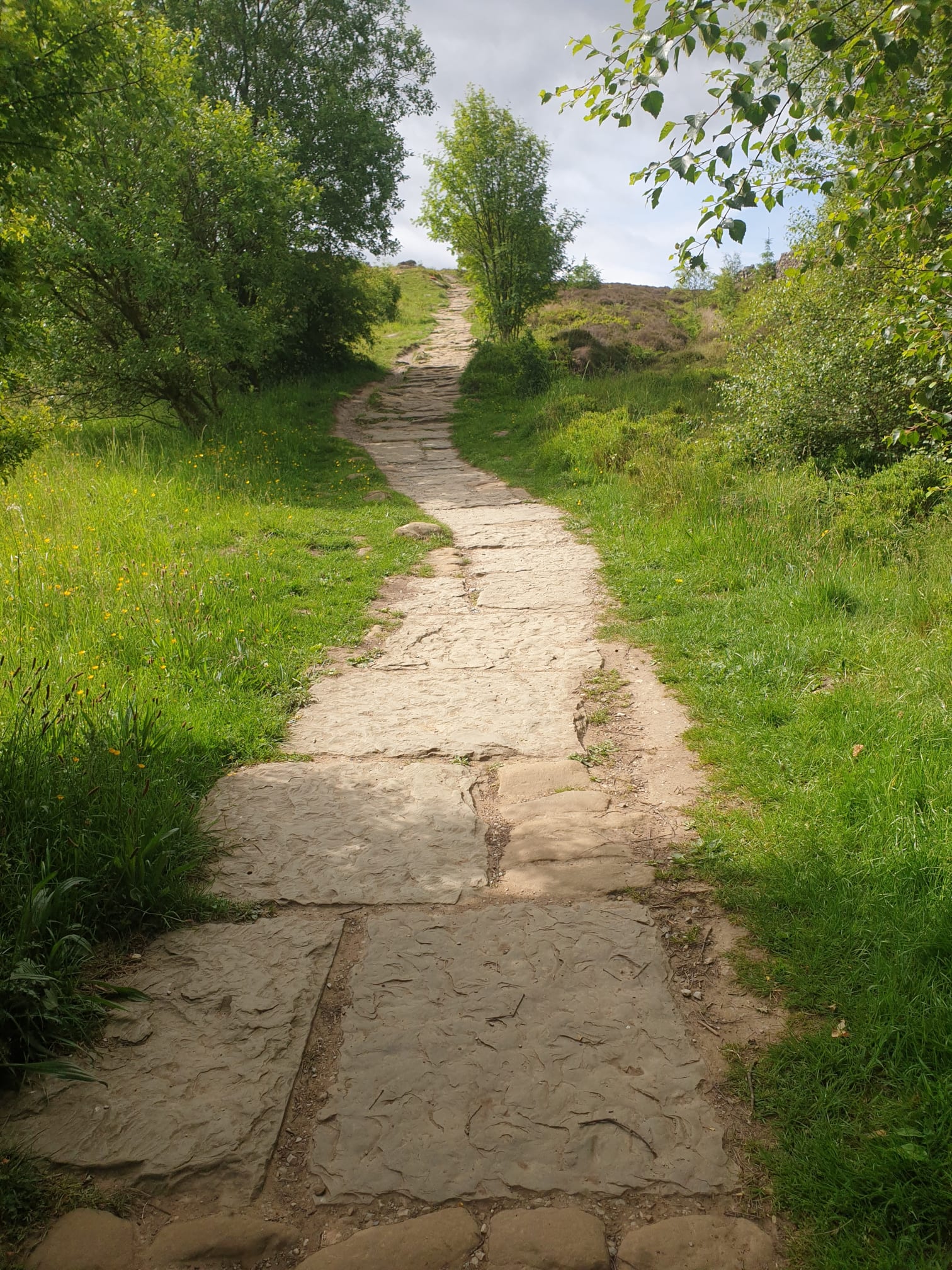
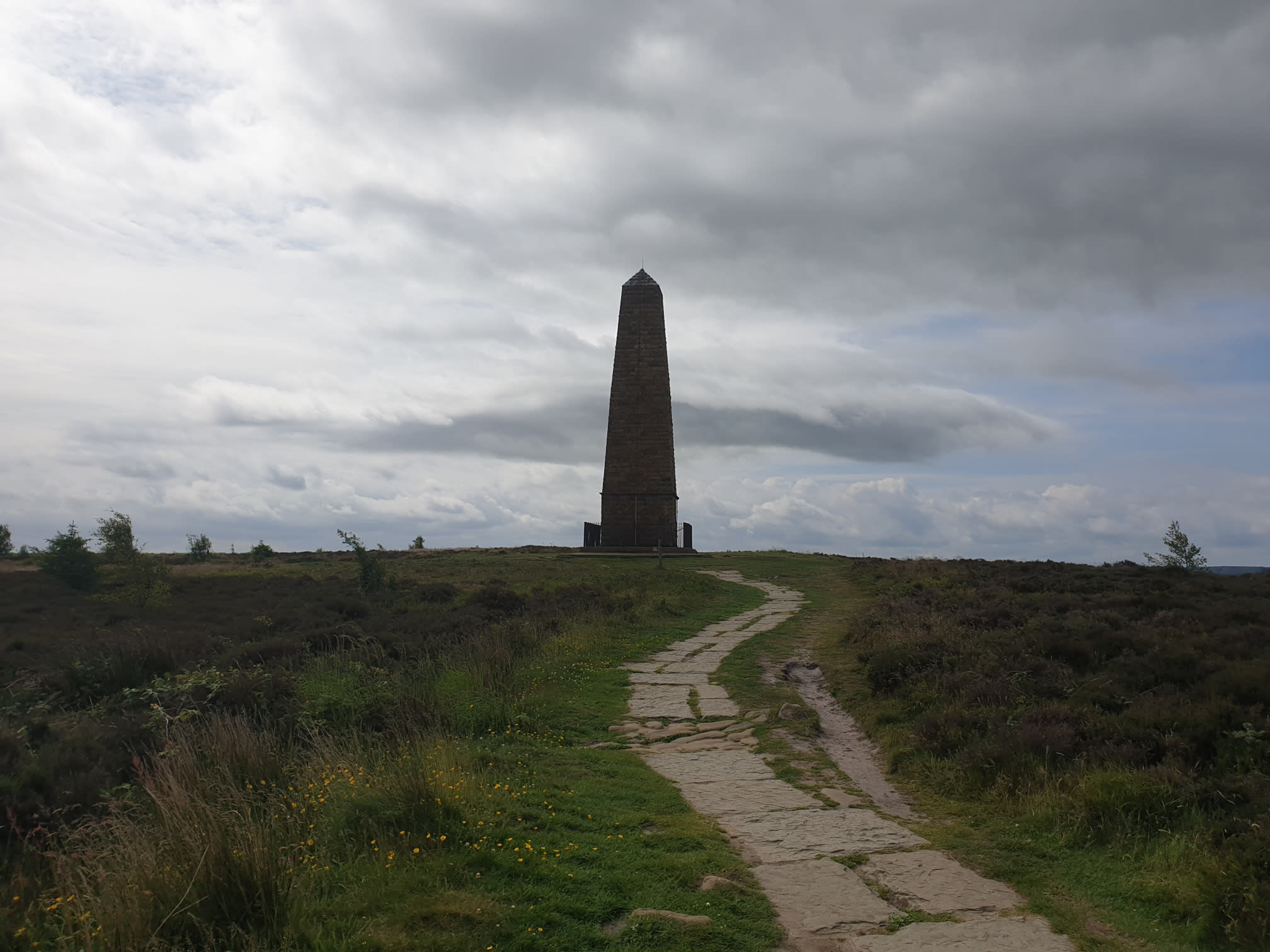
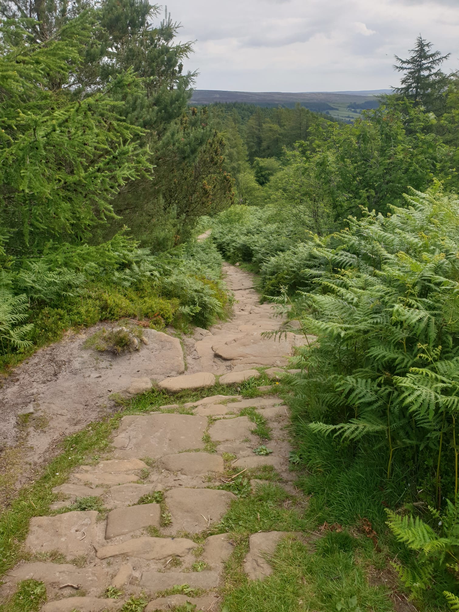
The trek begins! Heading up the Cleveland Way, a nice wide dirt track which turns into a stone path.
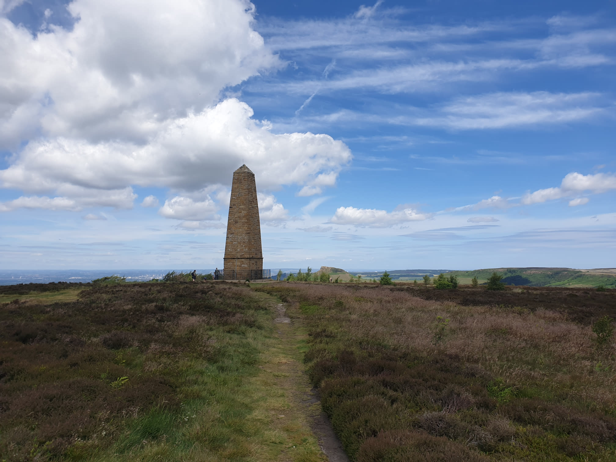
The first glimpse of the monument.
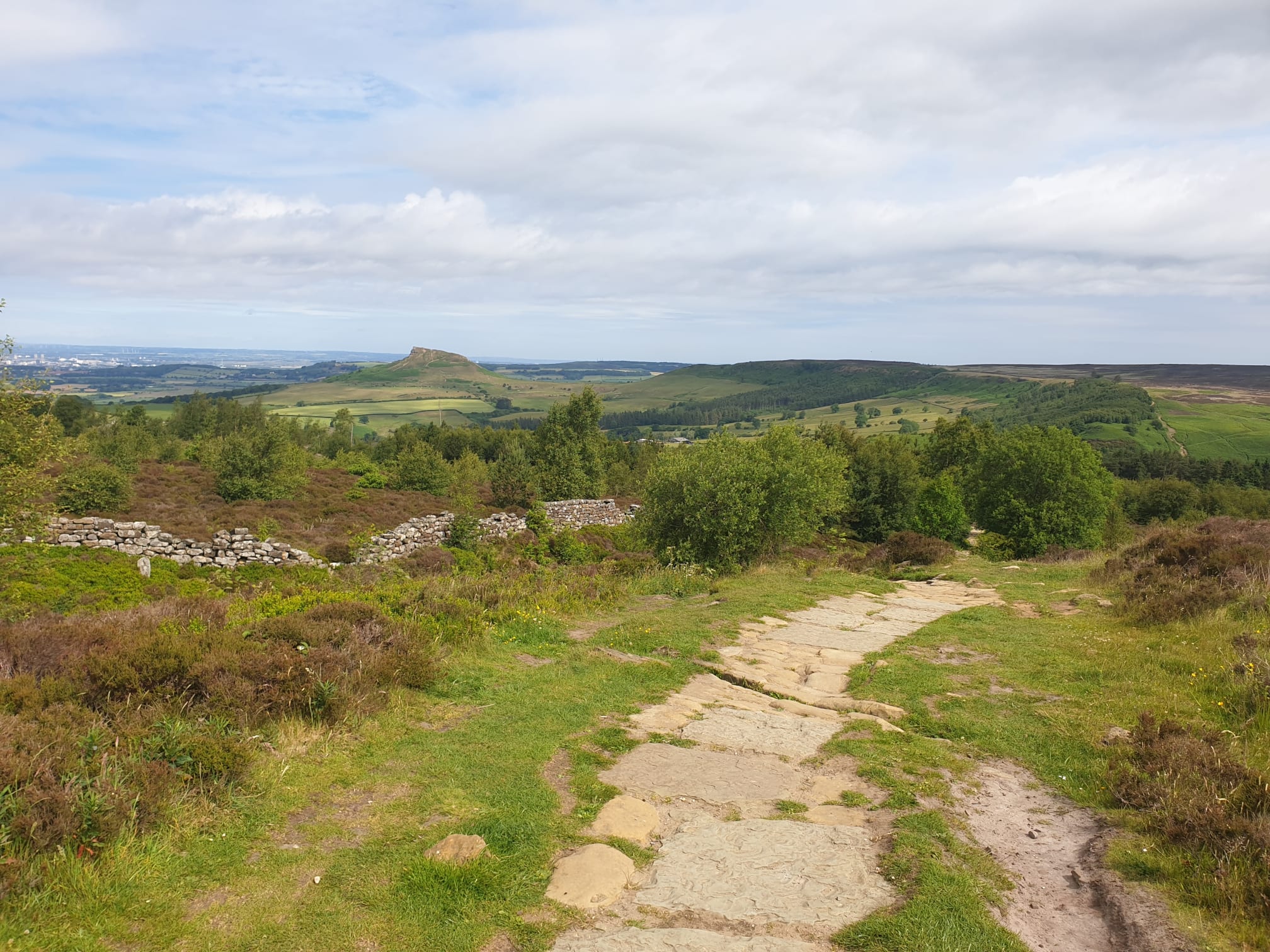
This is the view from near the monument looking North towards Roseberry Topping.
The monument is now the beginning of a loop through the woods. Staying on the Cleveland Way, head east, down some stone steps into the woods. Once you have descended the stone steps it is mostly a nice and level dirt path through the woods.
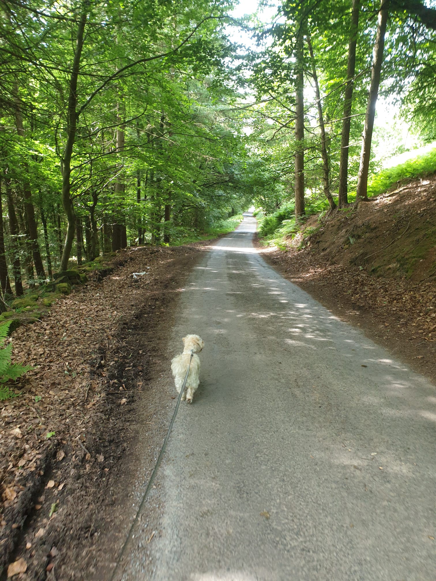
Follow the path for quite a while until you get to a tarmac road where you turn right to follow the road. Here is Ivy leading the way, checking for squirrels.
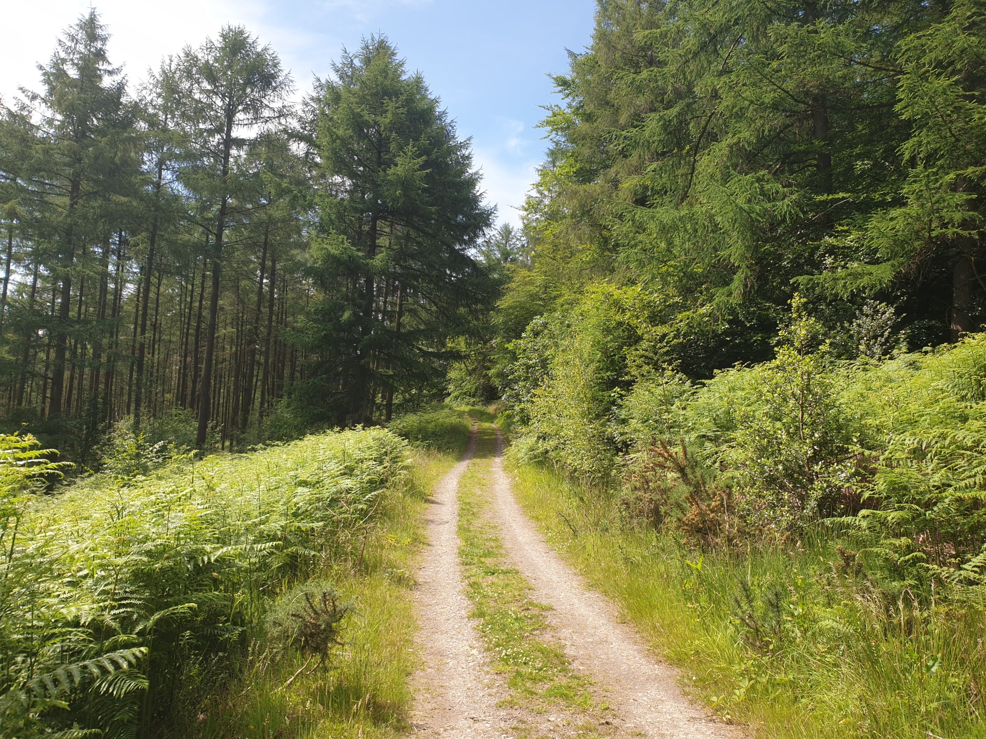
Keep on the road as it passes through Bankside Farm and then leave the road, and the Cleveland Way, taking the track on the right hand side. Follow the track along through the woods heading west, it is fairly level through the trees.
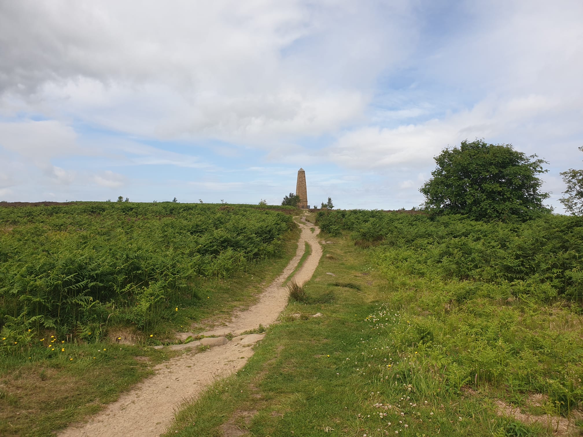
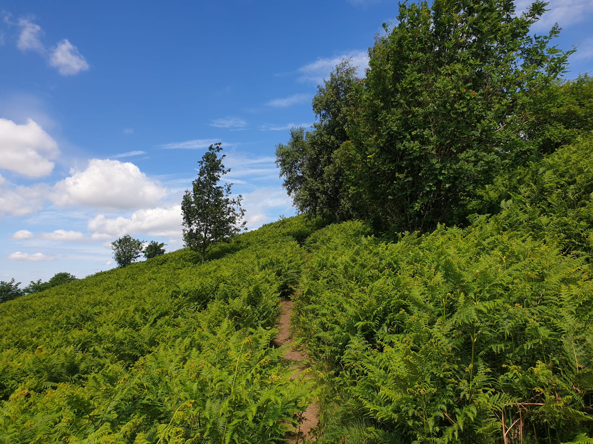
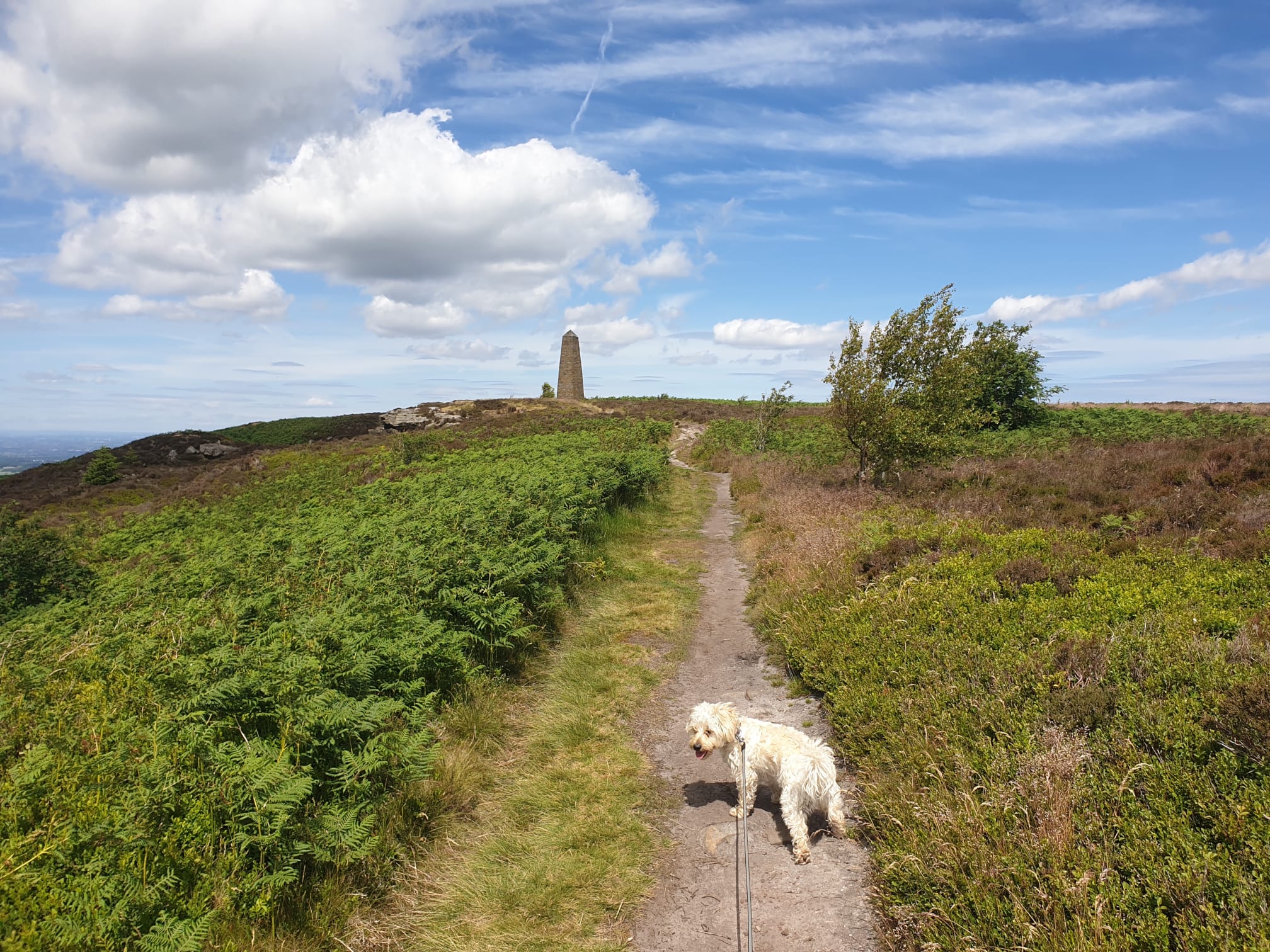
Eventually you get to a path leading back uphill to the monument, it’s easy to see the path despite the bracken. It can get a bit steep, easy to walk along but a break or two to take in the view is advised.
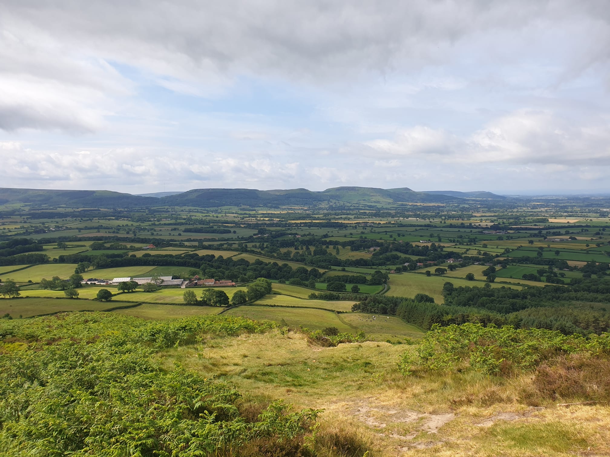
This is the view looking South to the Lordstones hills which I covered in the Lordstones Peaks Tour, along with other Lordstones hikes.
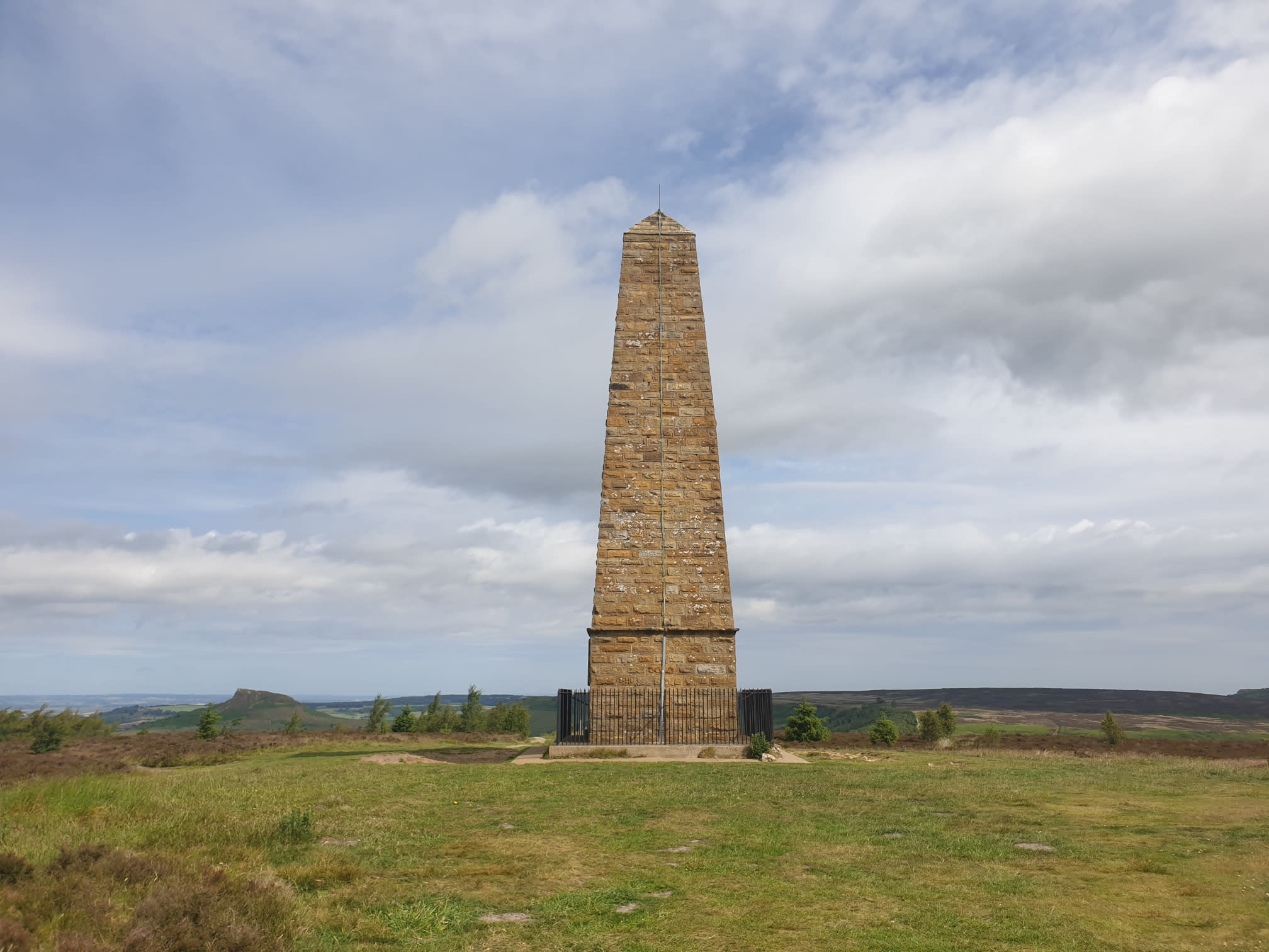
Continue uphill, through Easby Moor and back to the monument. Viewing the monument from the south as the path gets a little easier, and finally…level!
One final pic of the monument then it was time to head back down the Cleveland Way path to the carpark.