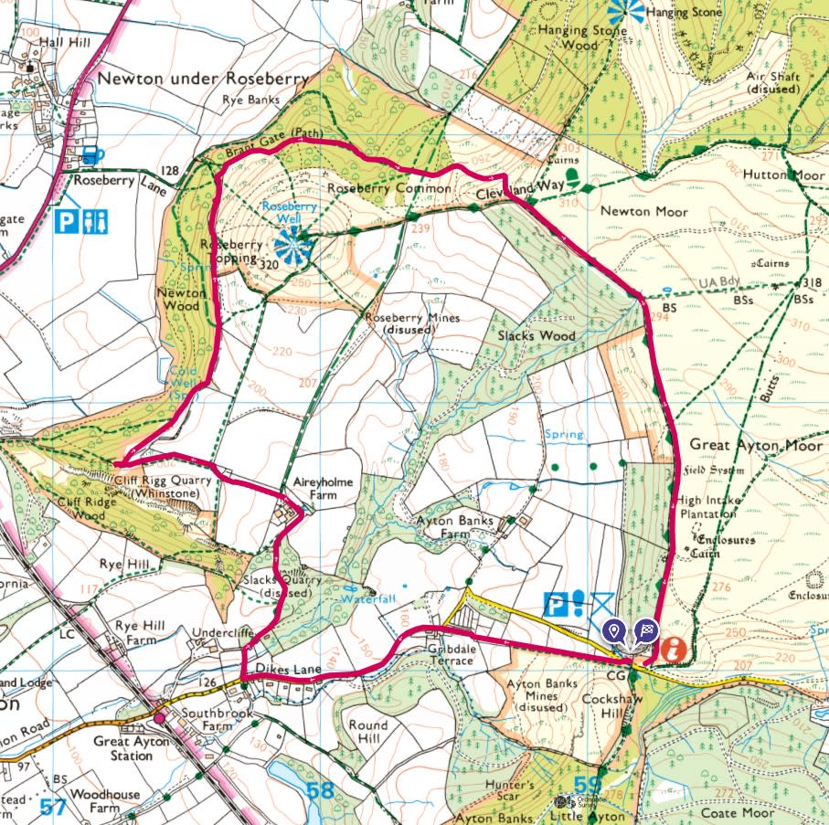
A regular dog walking area and with it being the time of year the bluebells are out, it was time for a walk around Roseberry Topping.
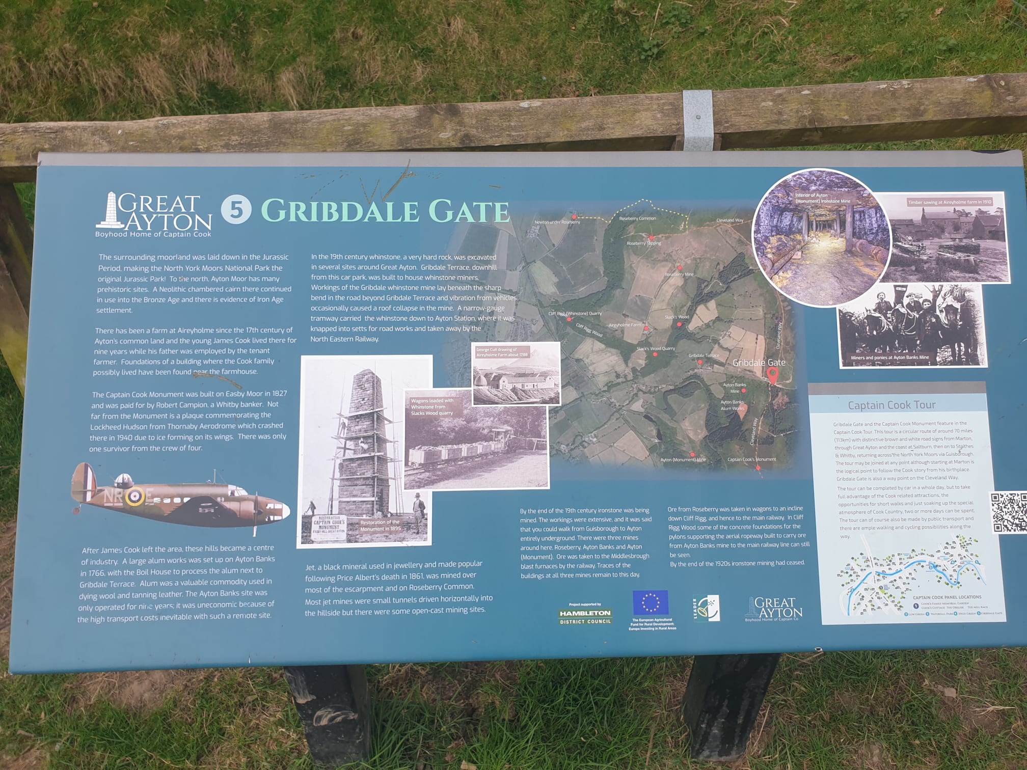
Below is the route, an anti-clockwise loop starting at Gribdale car park, following a road West for some of the way past Gribdale Terrace and turning off at the junction of Dikes Lane. Then up to, and through Aireyholme Farm to the field of bluebells. A loop around Rosey and up to the edge of Great Ayton Moor, then back to Gribdale car park.
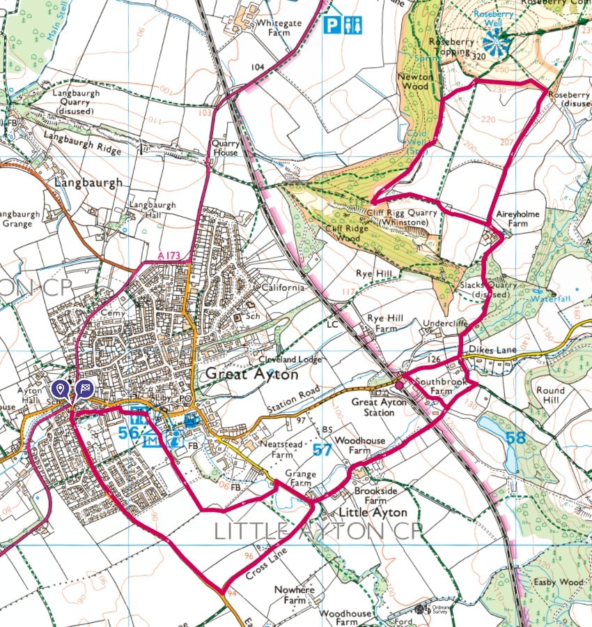
Another route that I completed recently, this also took in the bluebells near Aireyholme Farm and got close up to Roseberry Topping.
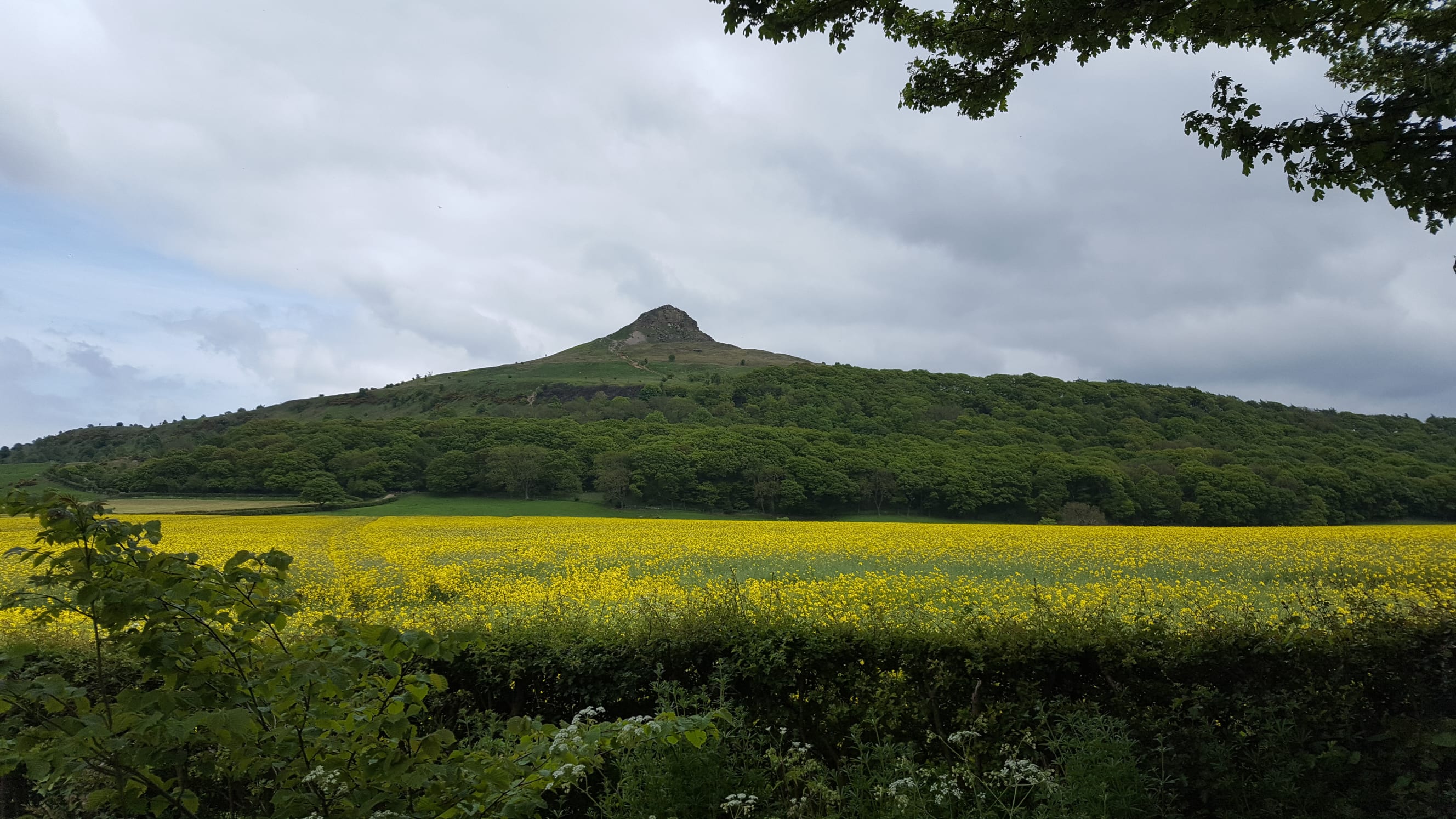
Here's a nice pic of Rosey that I took a few years back, showing the western, cliff side.
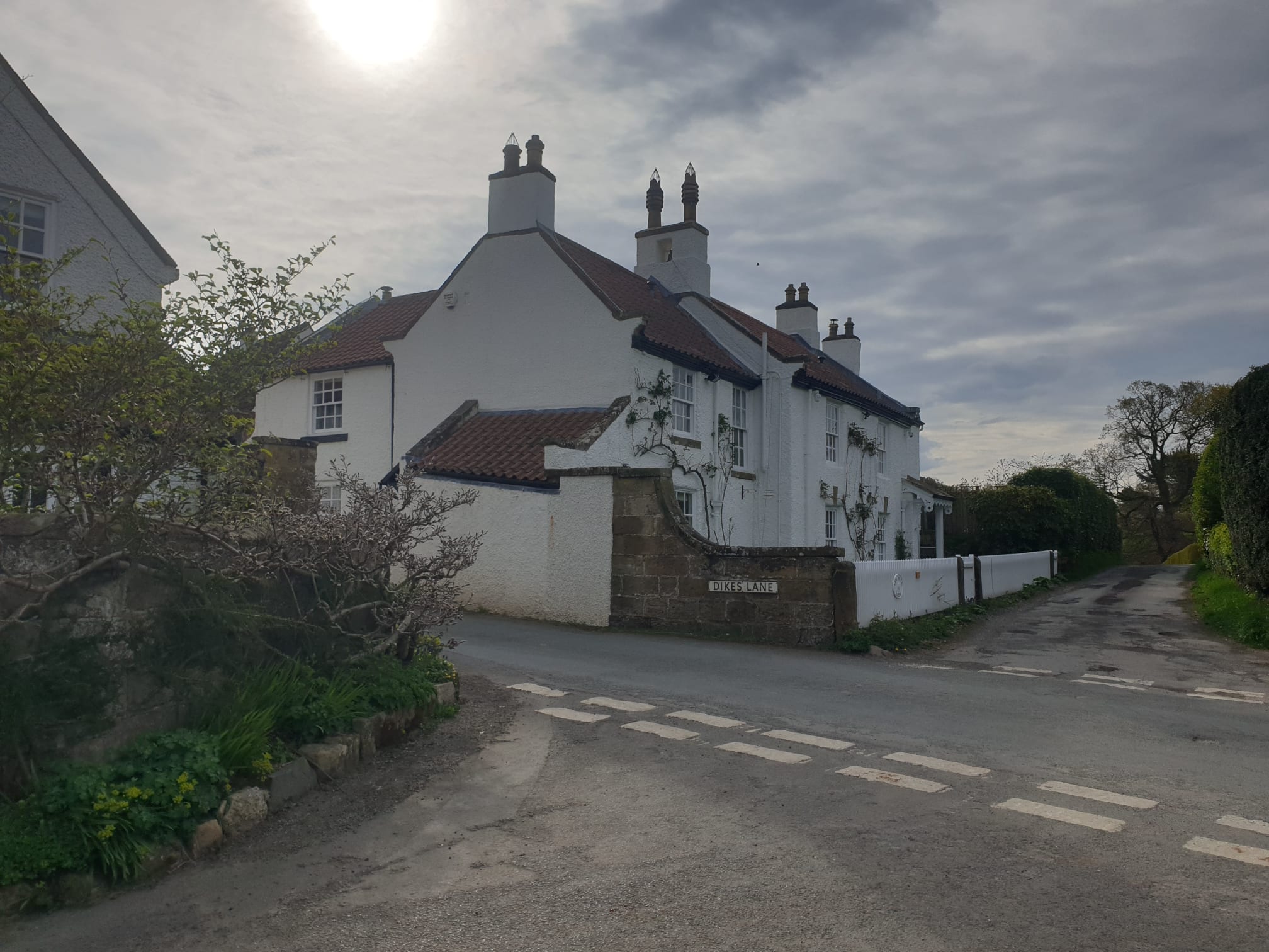
So, the walk itself...parking at Gribdale Car Park, I left Tiggy and followed a grassy path behind Gribdale Terrace, following the road West until you get to "The White House".
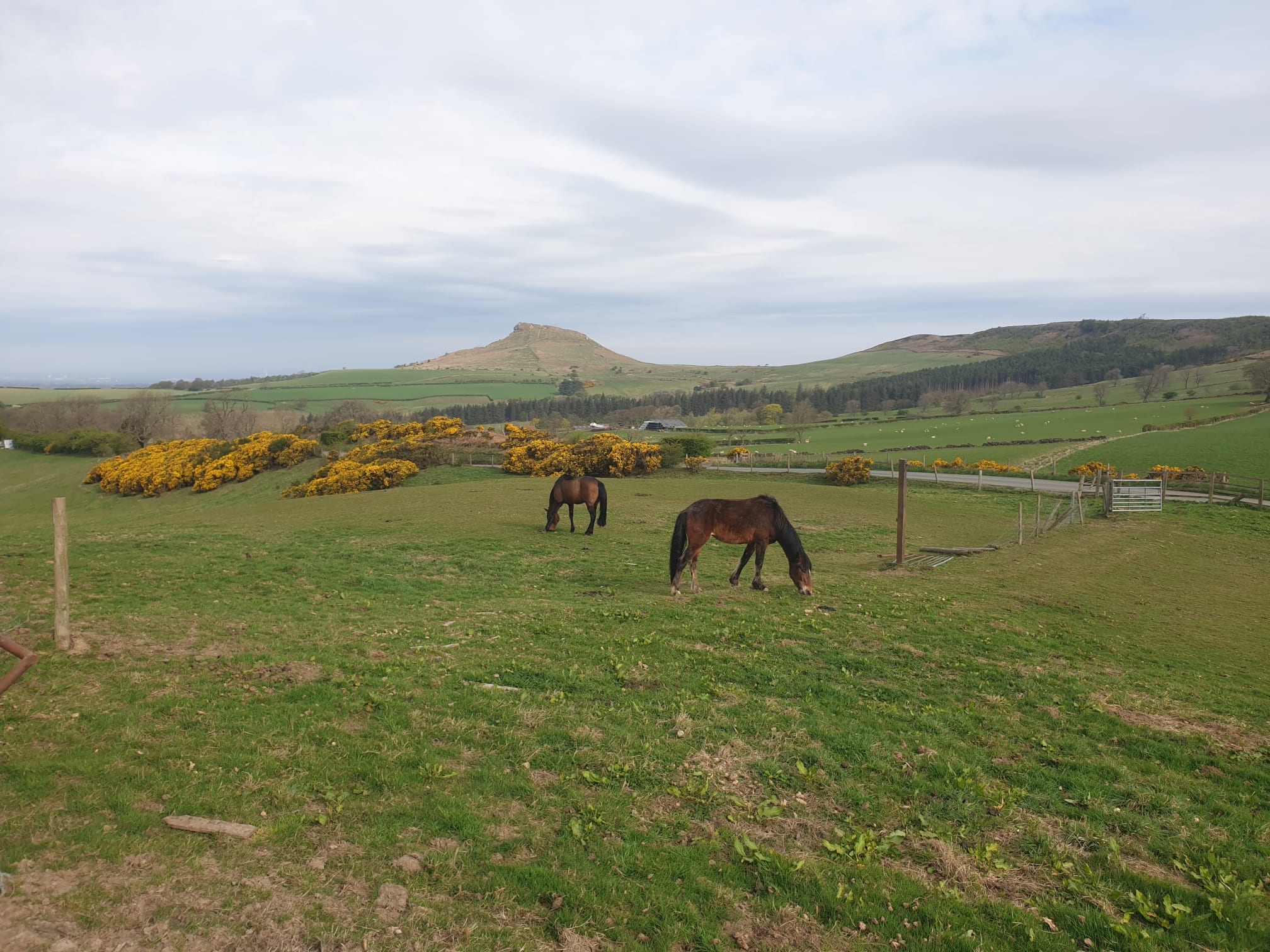
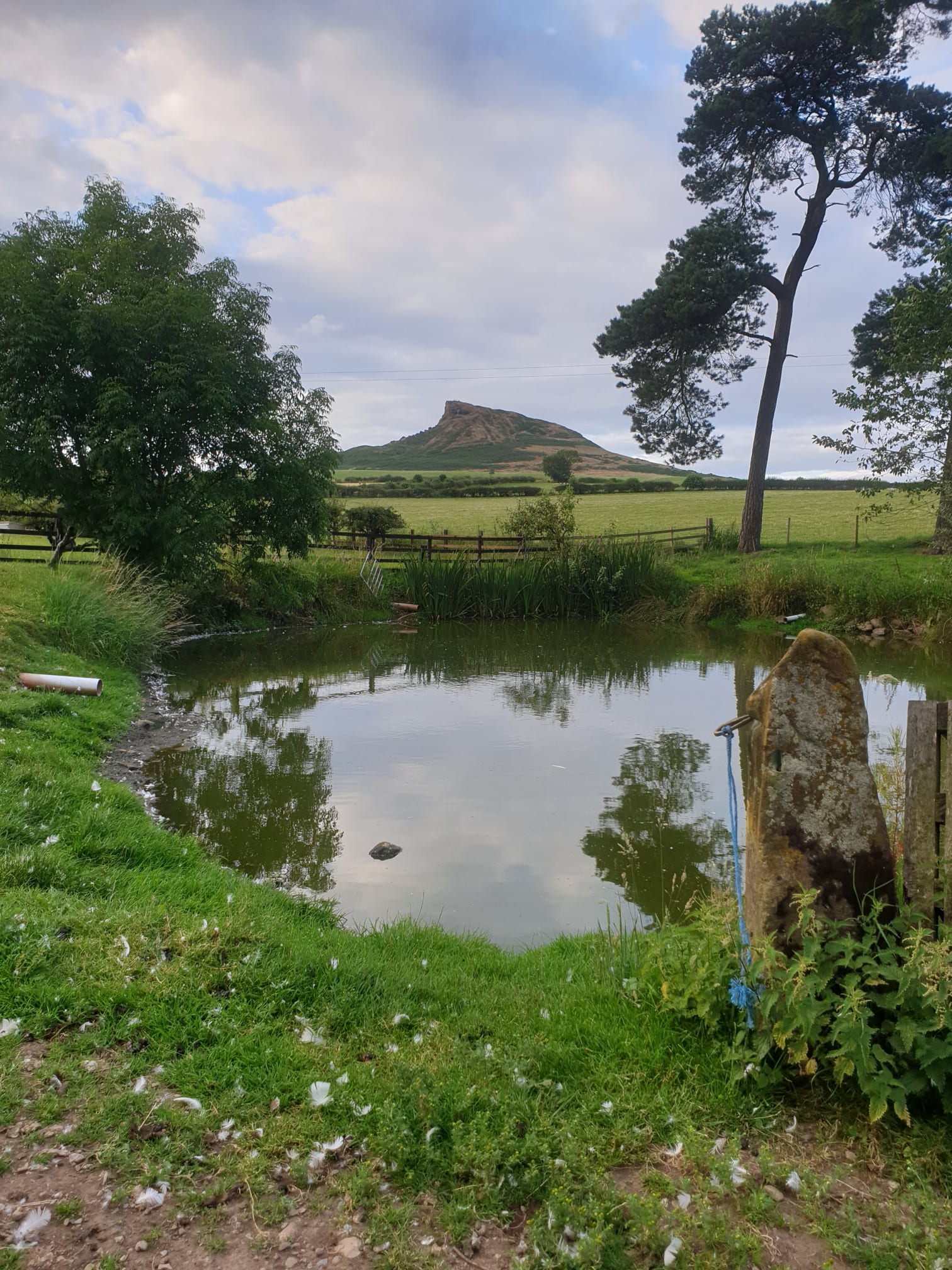
The first view of Rosey, from the South.
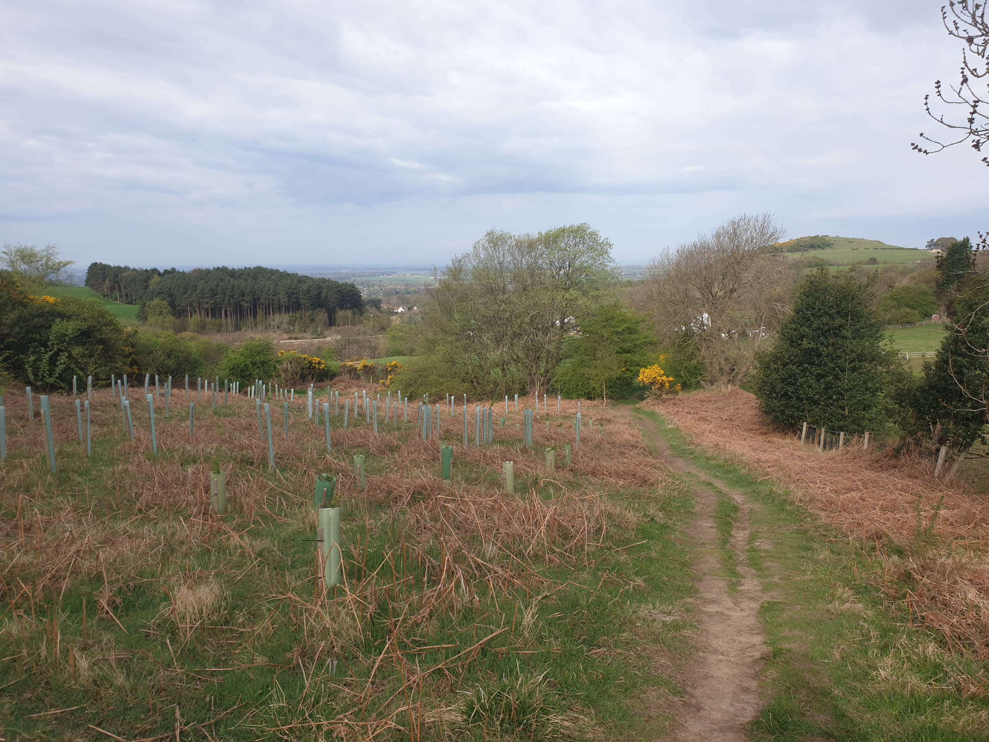
The grassy path down past Gribdale Terrace.
The White House, where I turned right to head up to Aireyholme Farm.
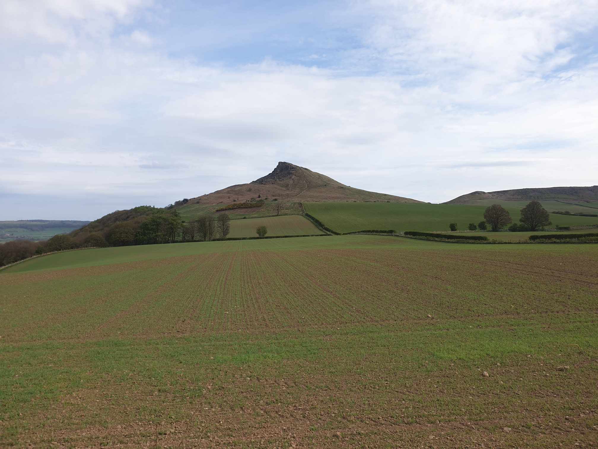
At Aireyholme Farm you get a great profile view of the Southern side of Rosey, showing the cliff.
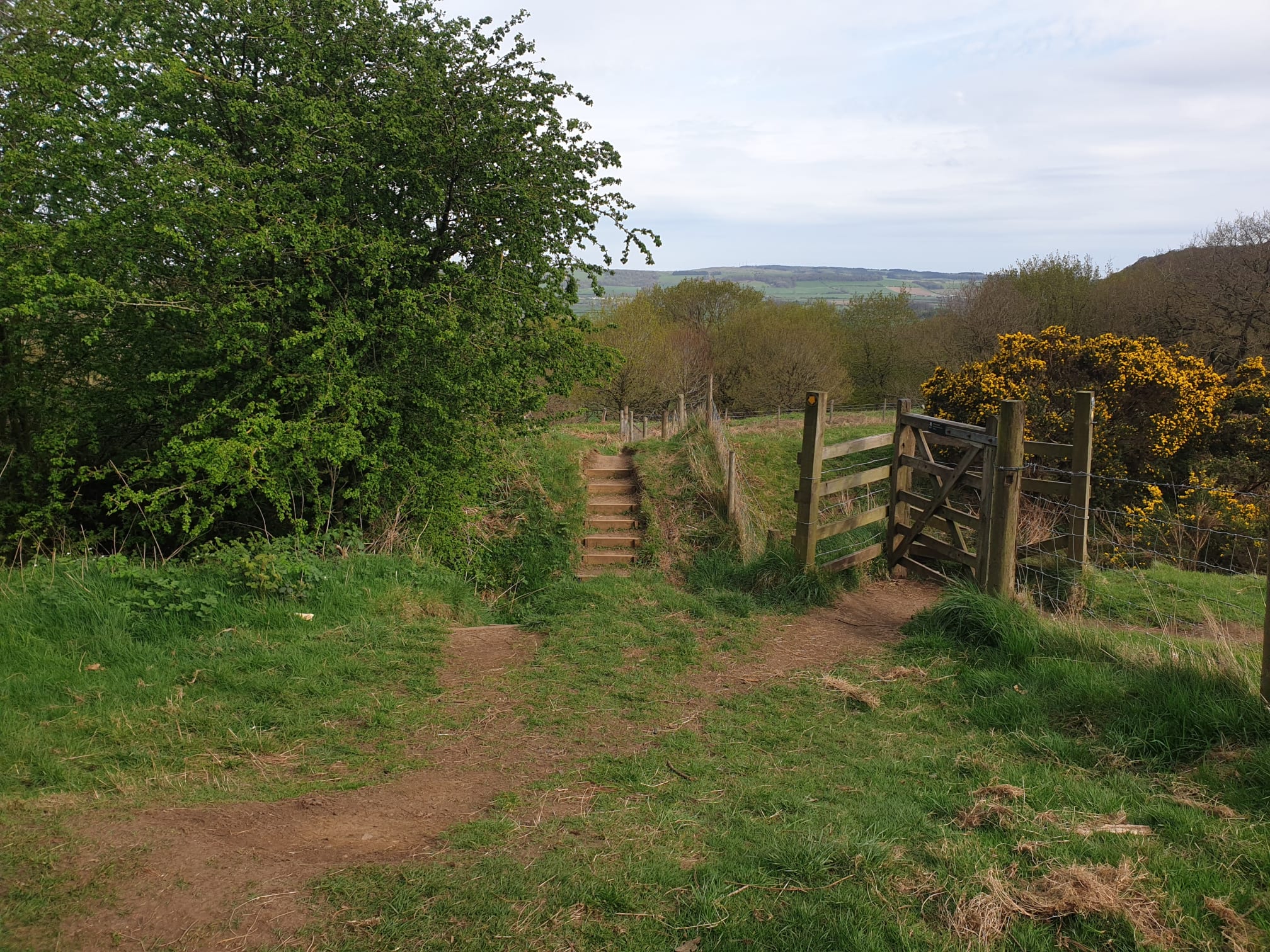
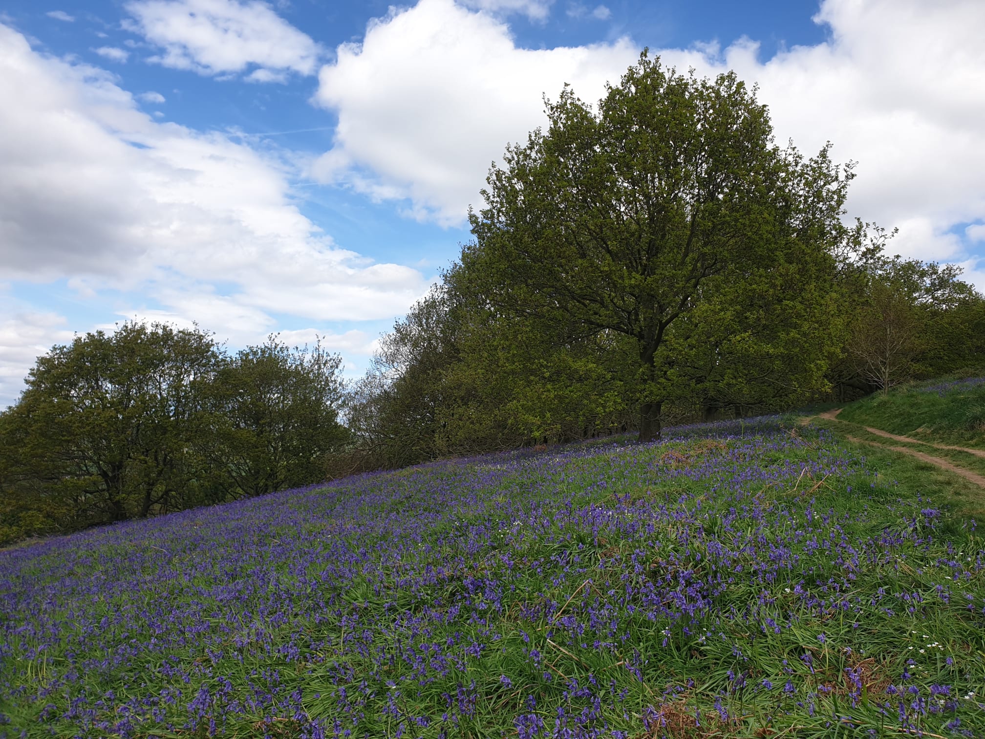
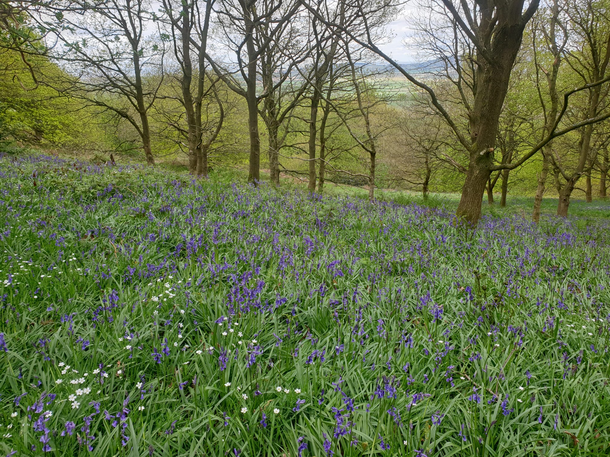
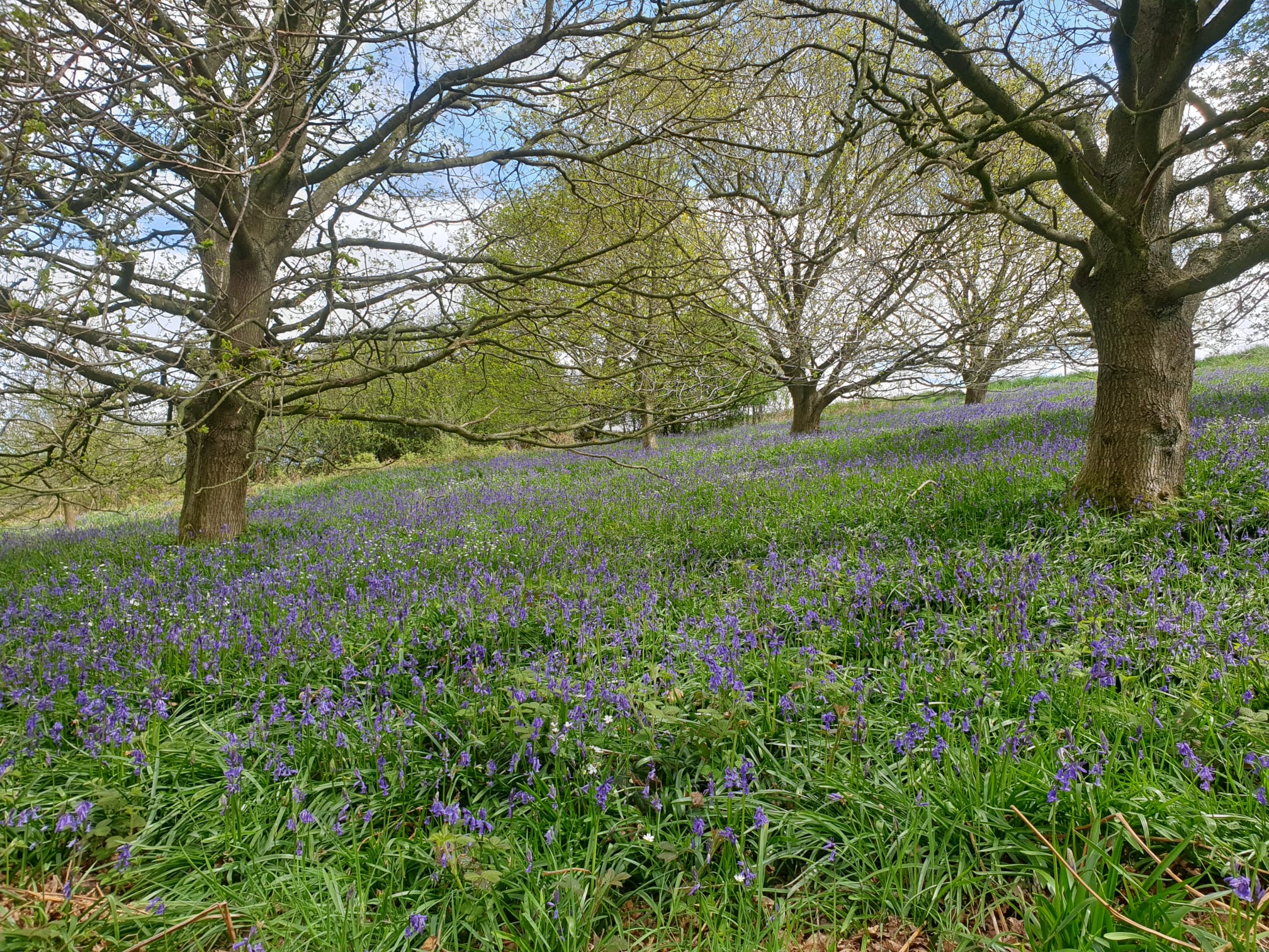
Following the path North through a couple of fields, as you approach the woods theres a viewpoint, note the few stairs in the bottom left of the pic, I'm going to climb them to get to the bluebells.
The stairs.
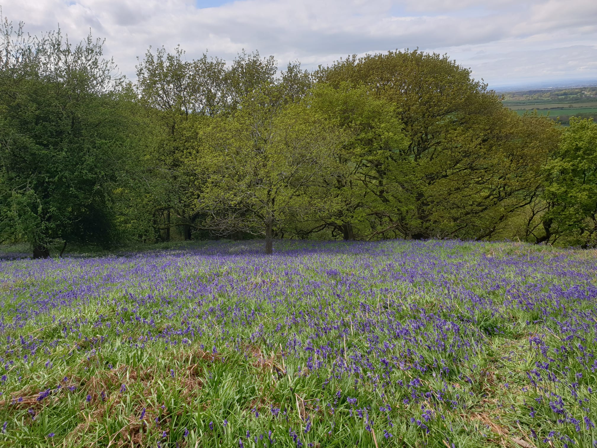
And over the steps, the bluebells.

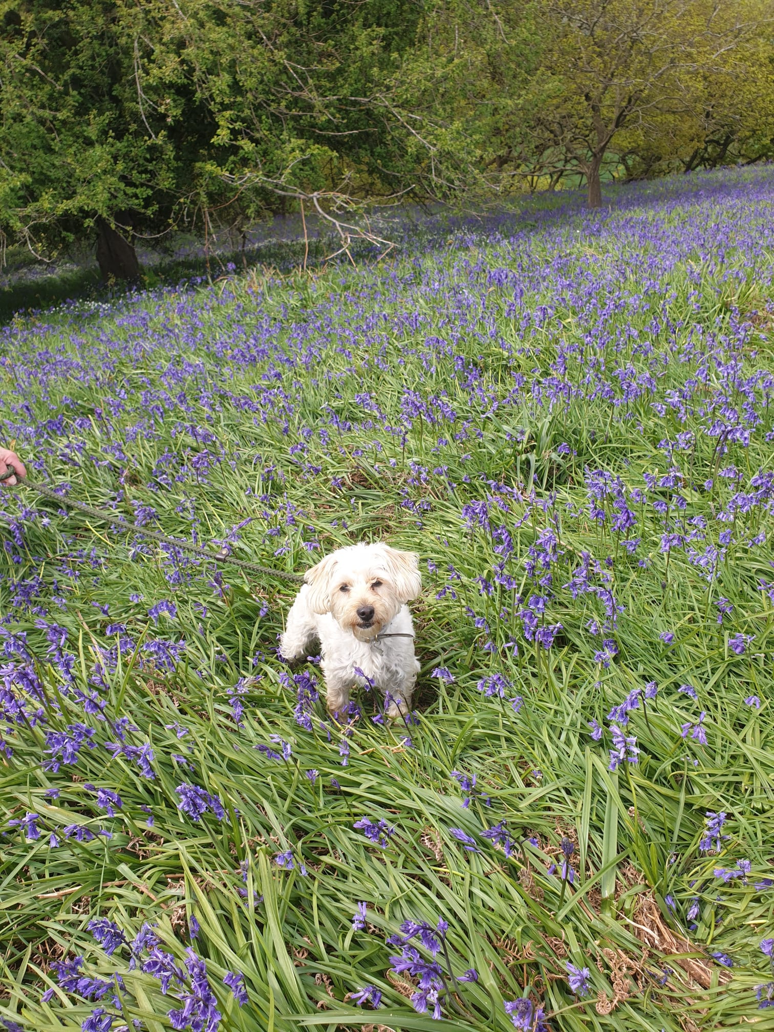
Ivy the Westiepoo insisted on being in one of the pics.
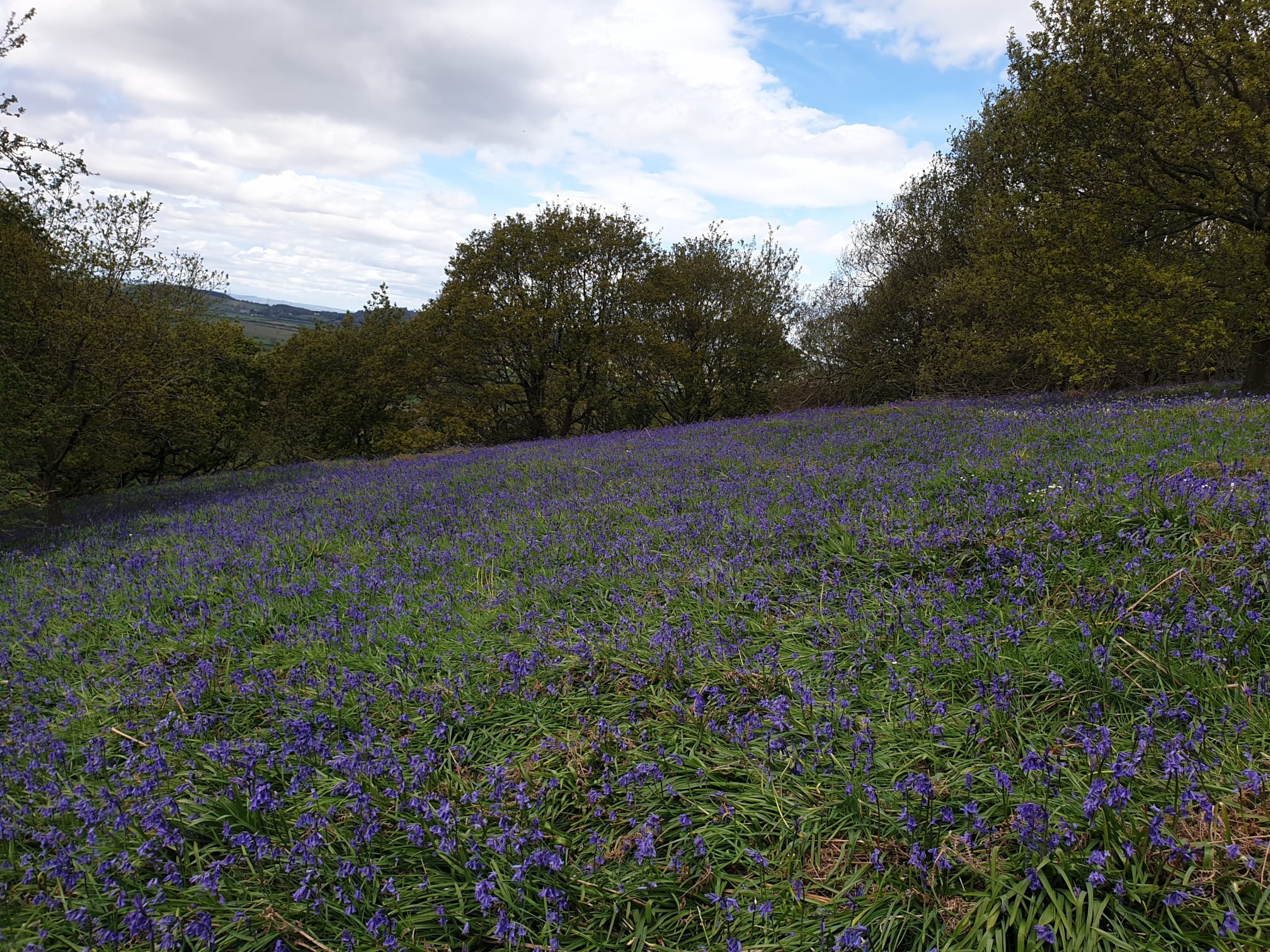
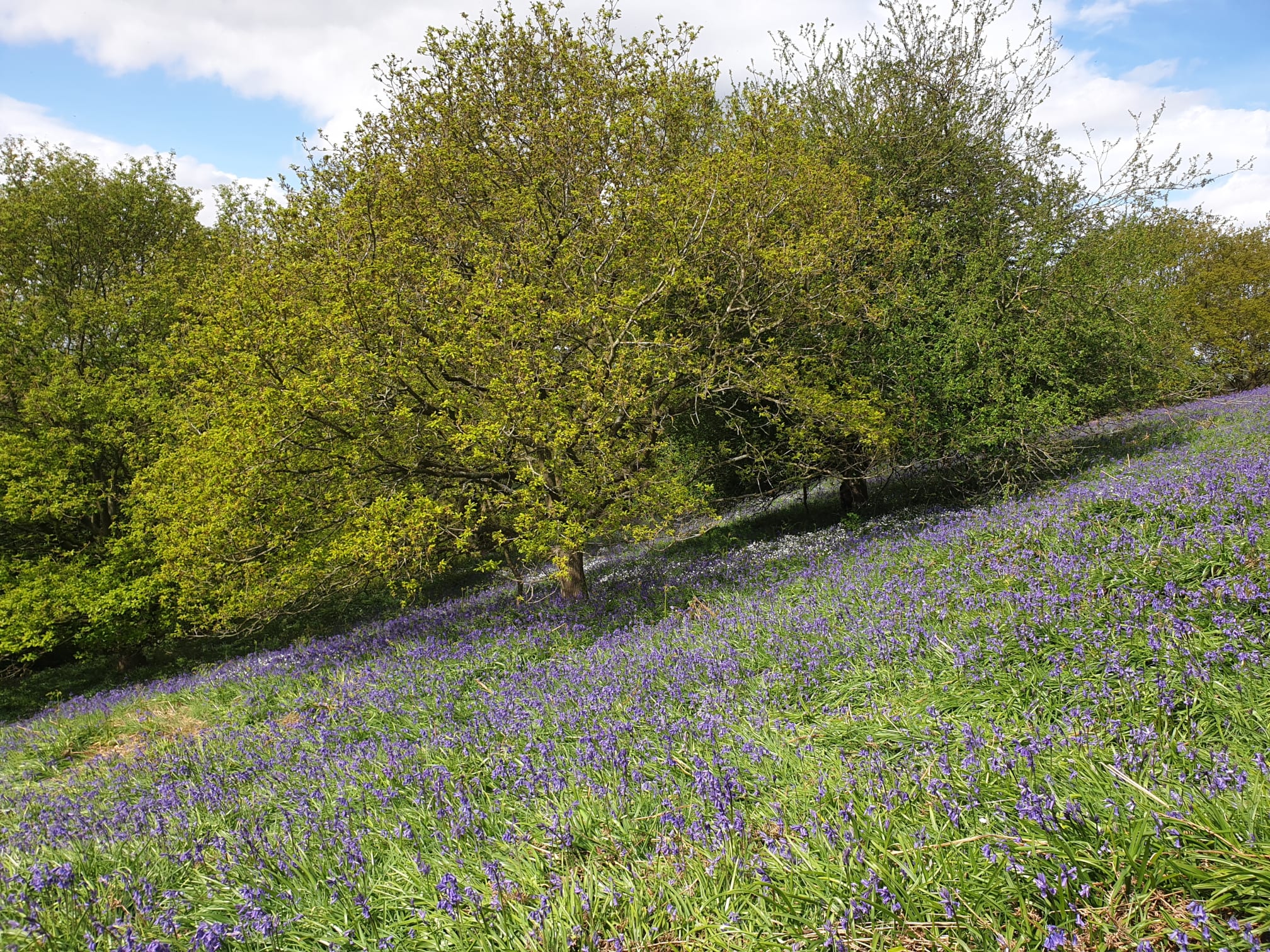
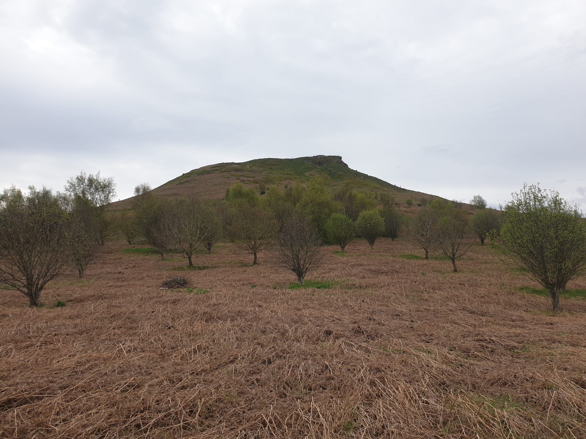
Travelling along the bluebell path you head uphill, now with a more Westerly view of Rosey, the cliff side.
There are a couple of paths that head up to the Topping but I chose to keep an equal distance from the summit as I rounded Rosey, following a gravel/mud track along the bottom of Roseberry Topping.
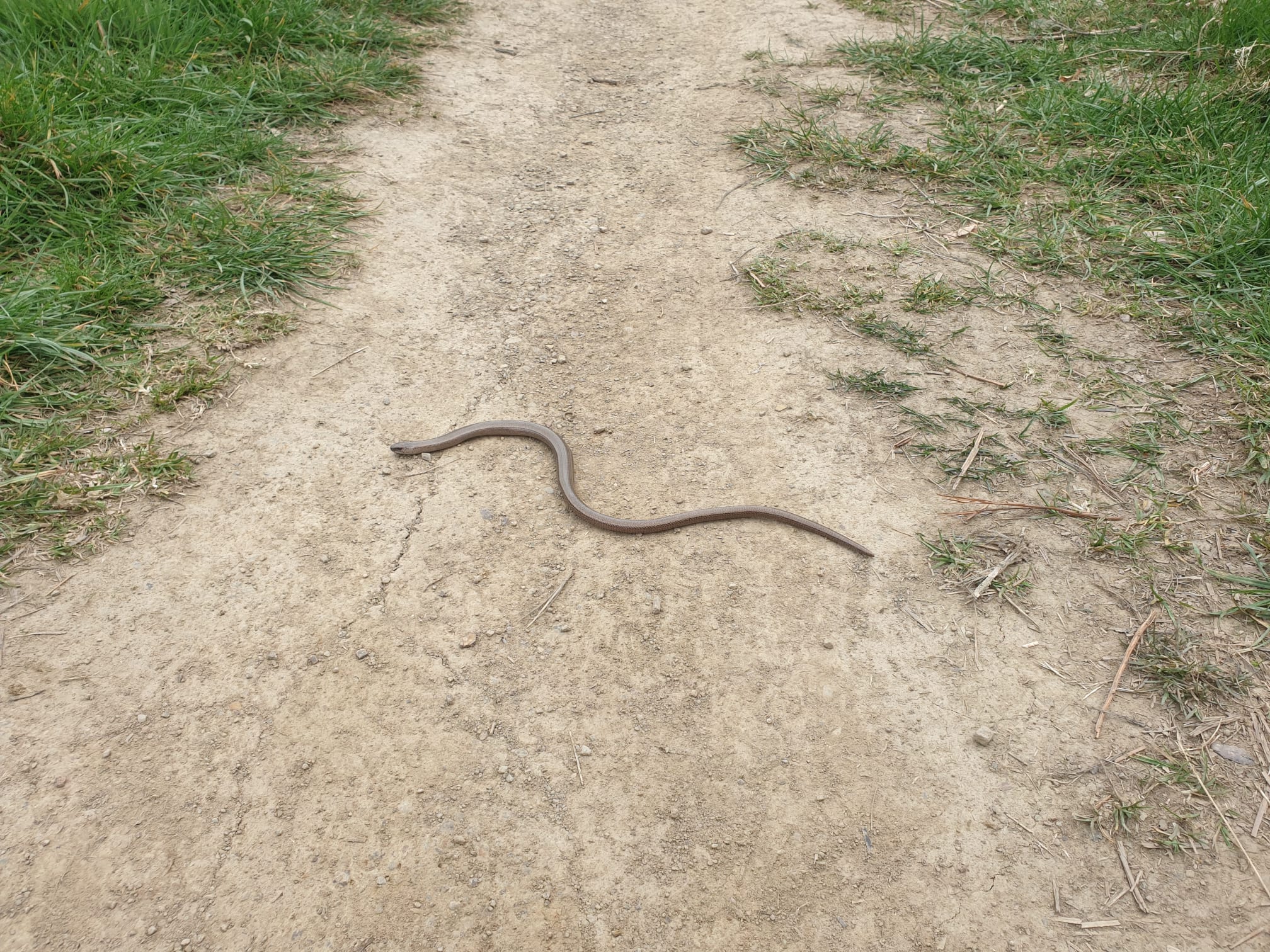
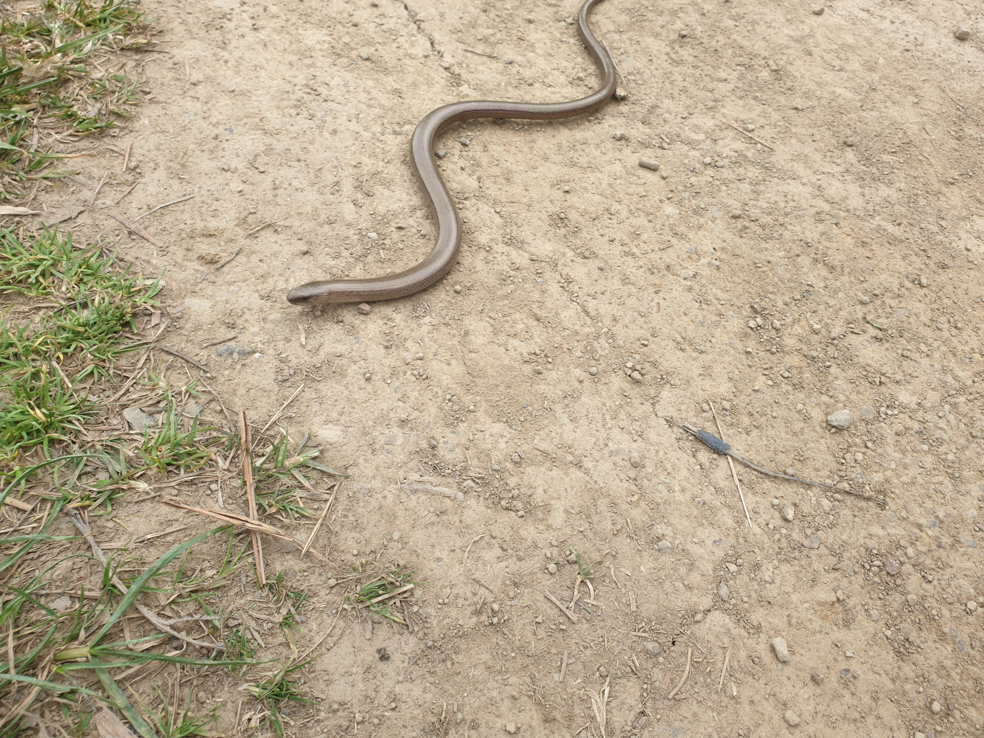
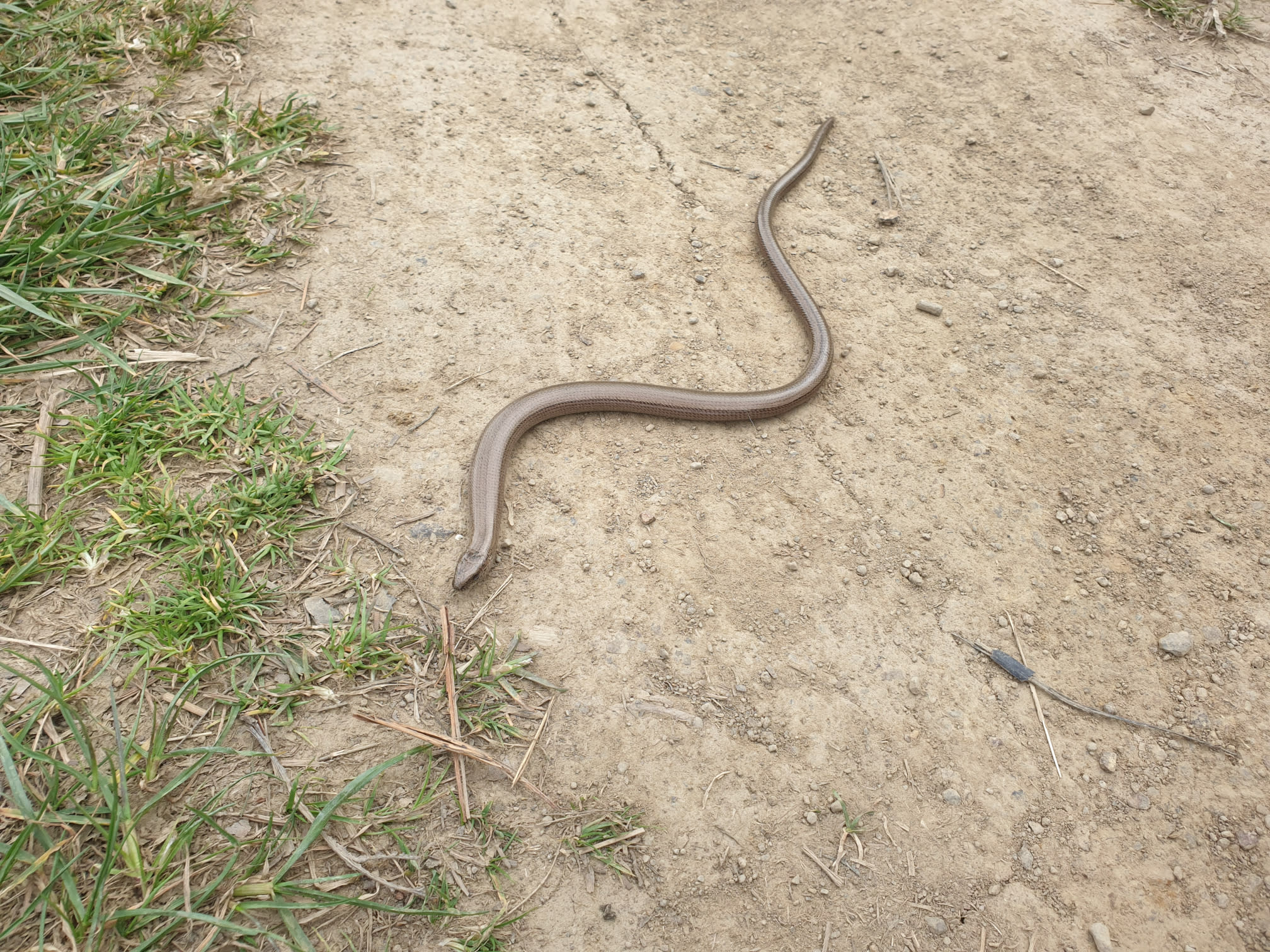
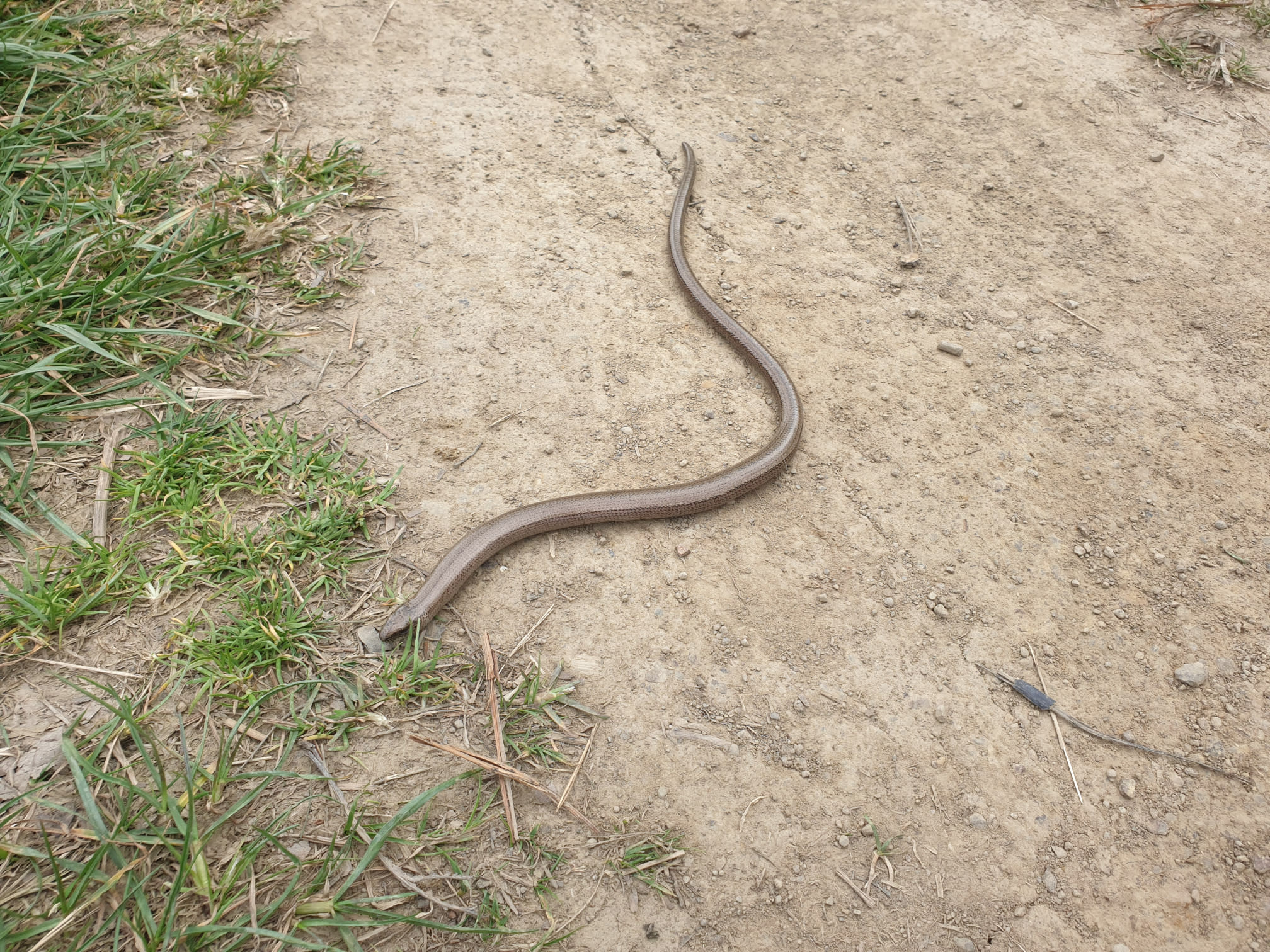
Normaly it's photos of sheep, cows or horses, this trip was a bit more "unique", a slow worm. Haven't seen one of these since Elan Valley in Wales.
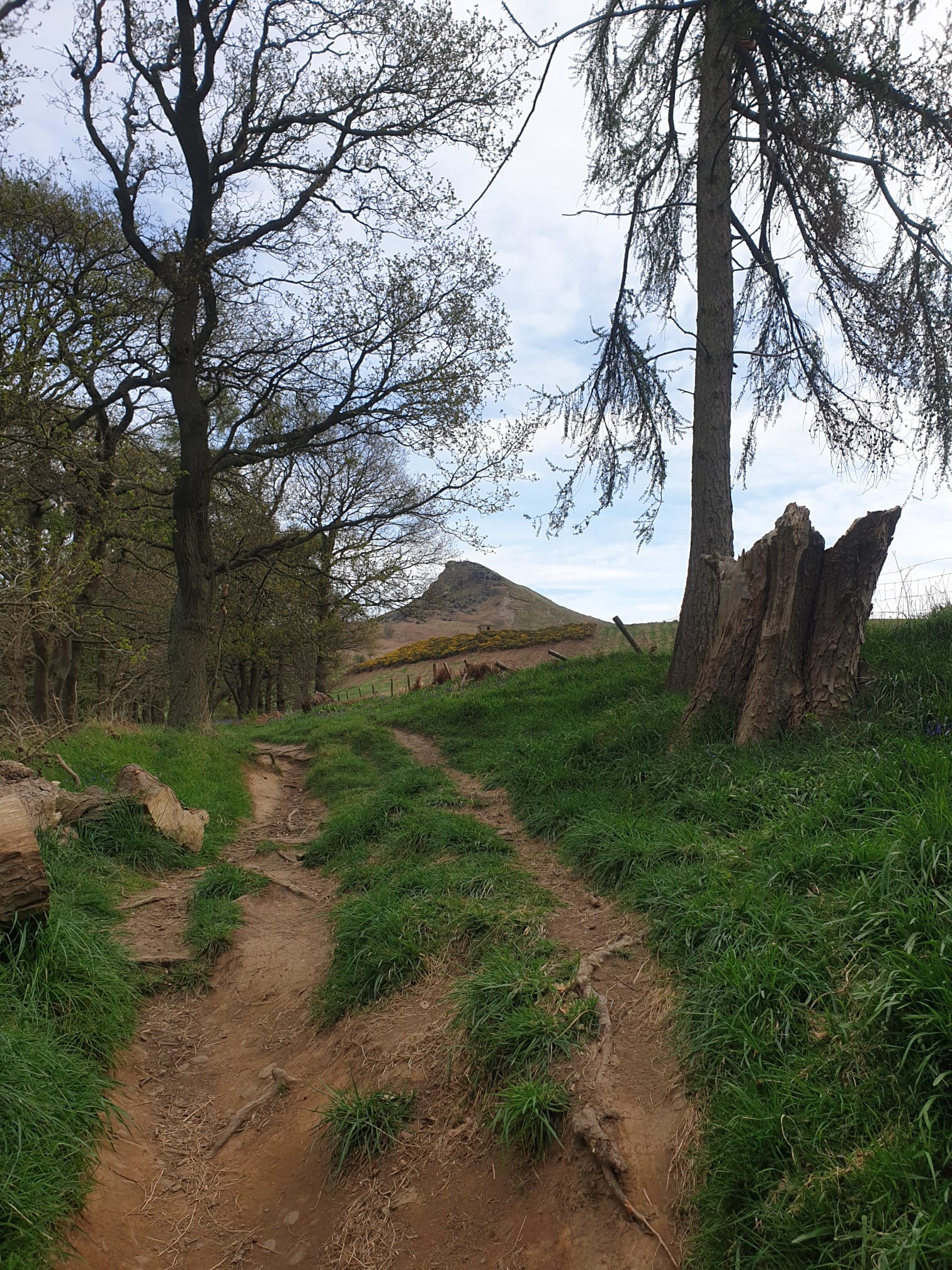
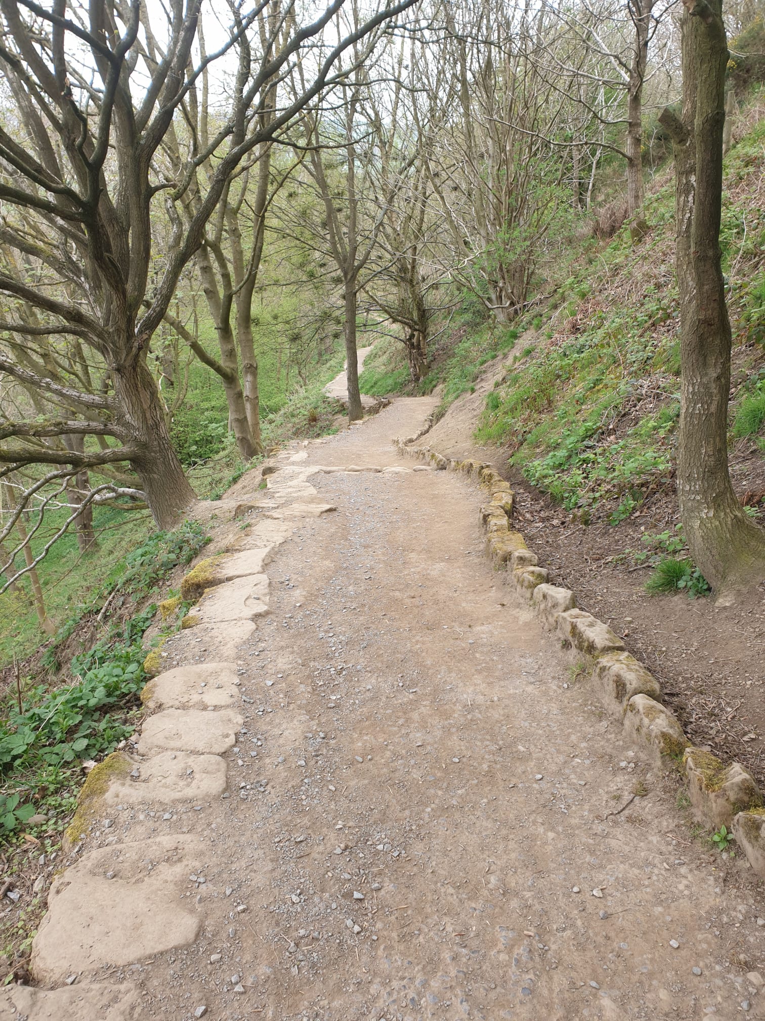
After that brief encounter I then followed a stone path uphill.

Looping around Rosey, on a grassy stone path here is the North West view.
Now, at the most Northerly part of the hike it's a bit more of an uphill climb, heading away from Roseberry Topping, East, towards Guisborough. This is part of the Cleveland Way which I only followed for a short while.
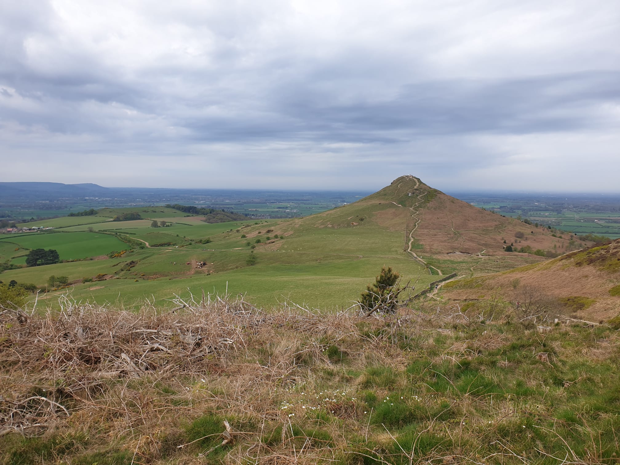
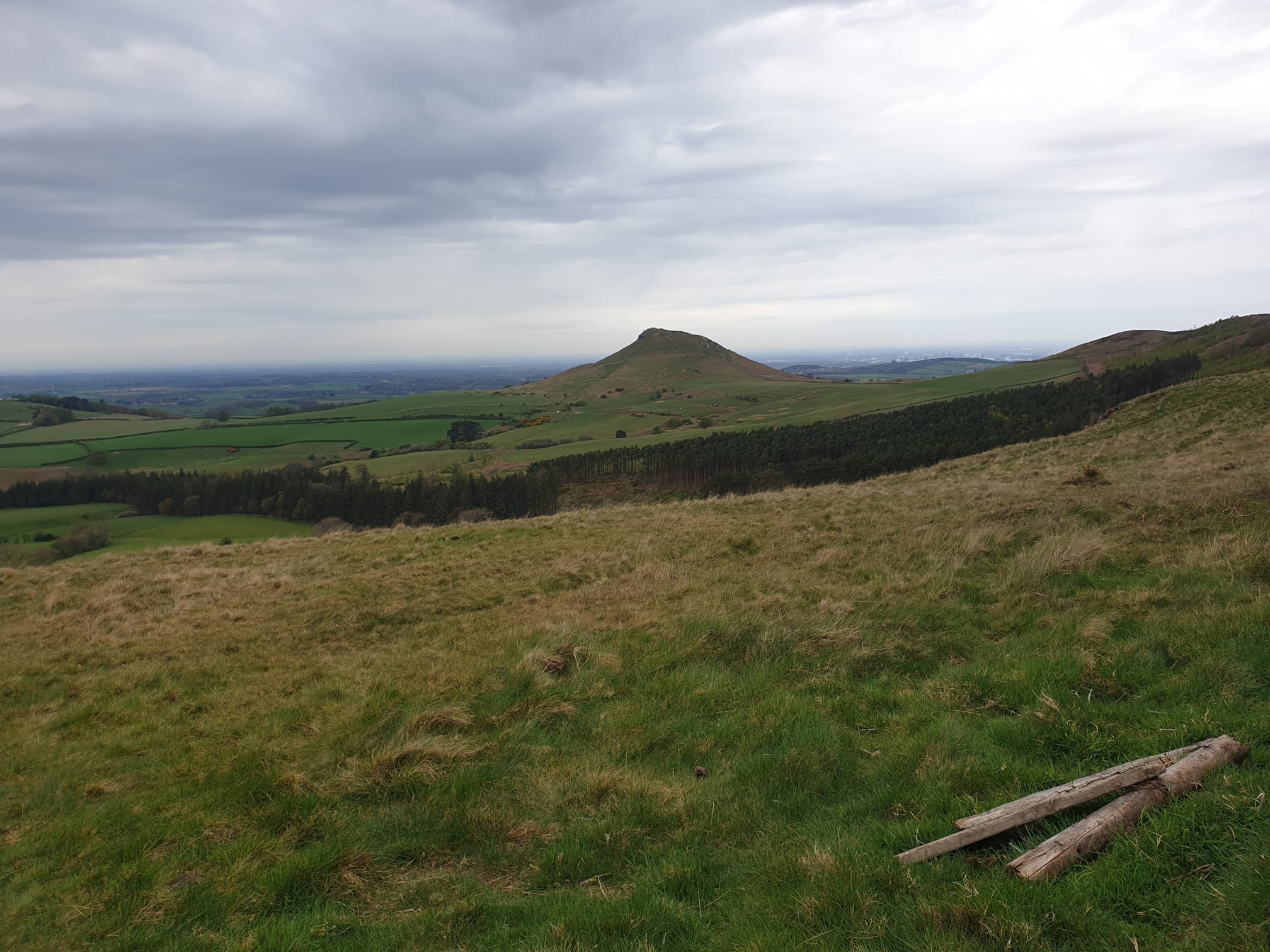
The view looking back, the Eastern side of Rosey.
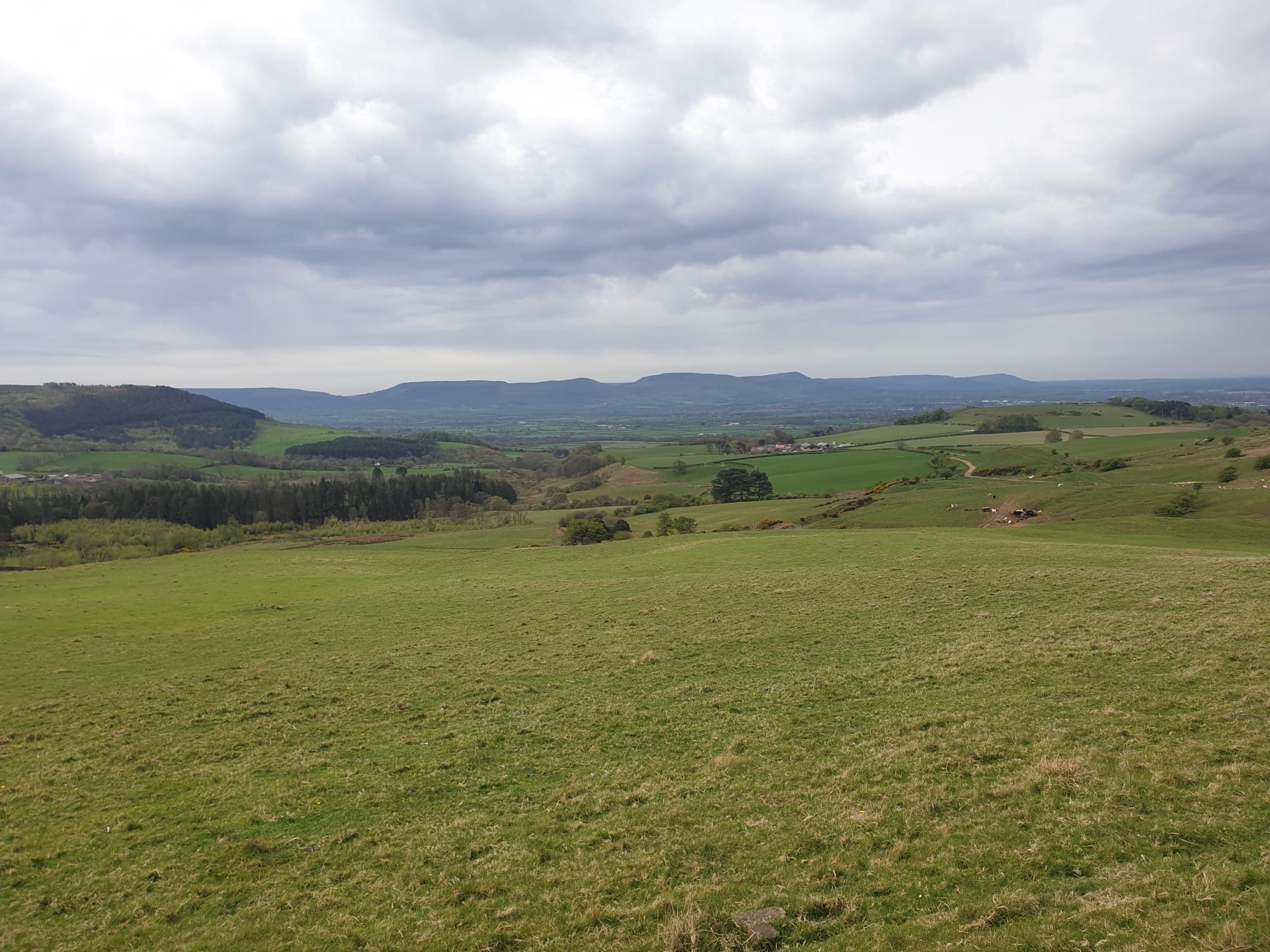
I then crossed over the Cleveland Way, heading South, with a geat view of the Cleveland Hills in the distance. Some of which I covered in the Lordstones Peaks Tour.
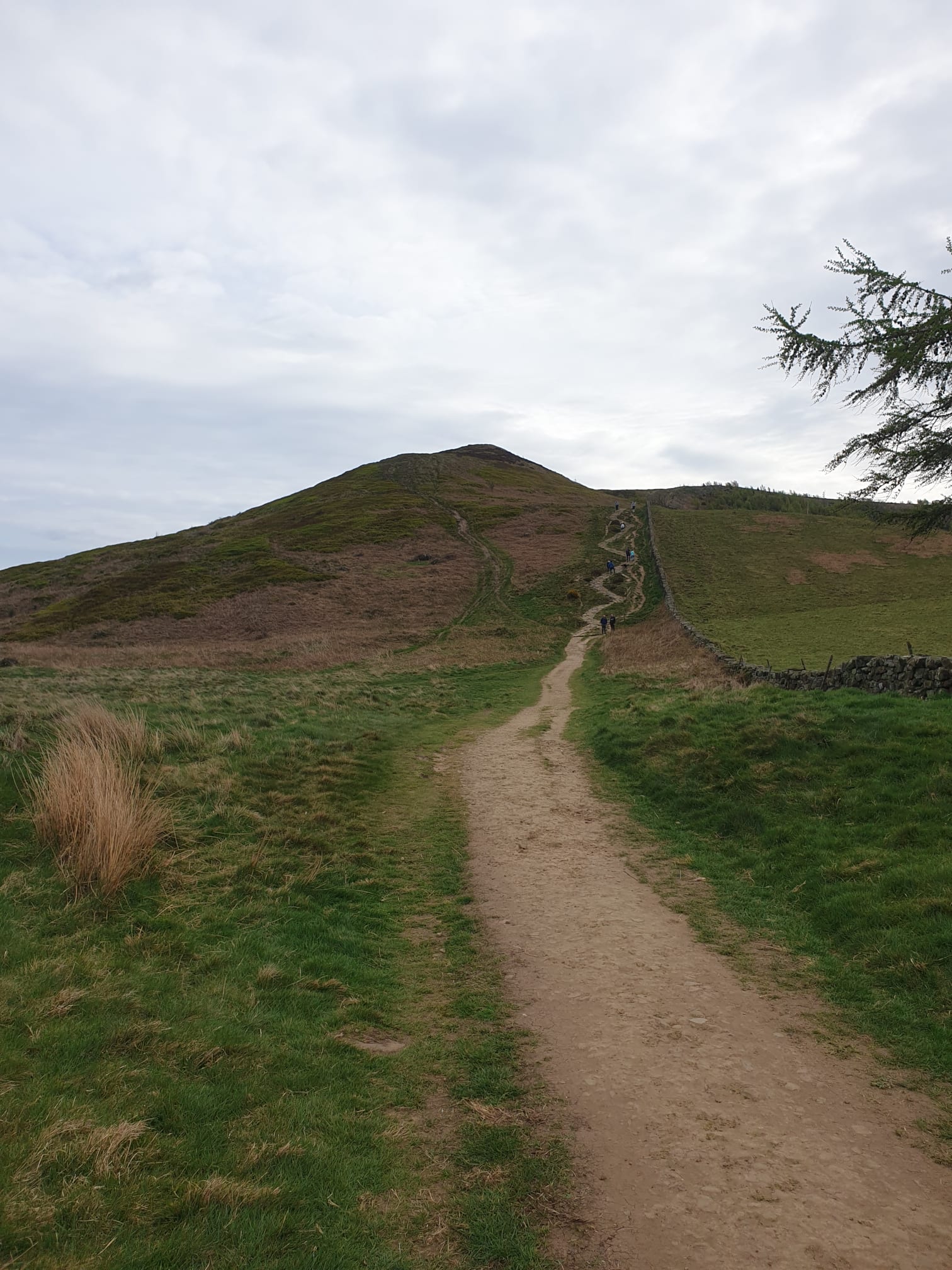
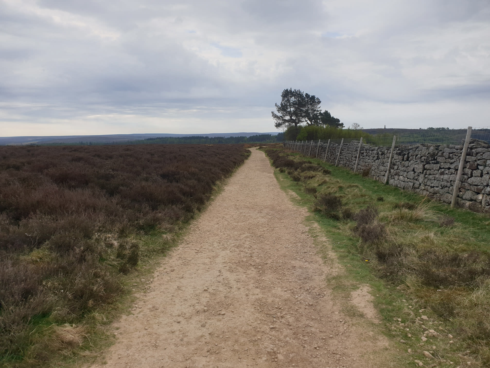
A bit more of an uphill trek along a stone path, nearly at the top and then it's all downhill.

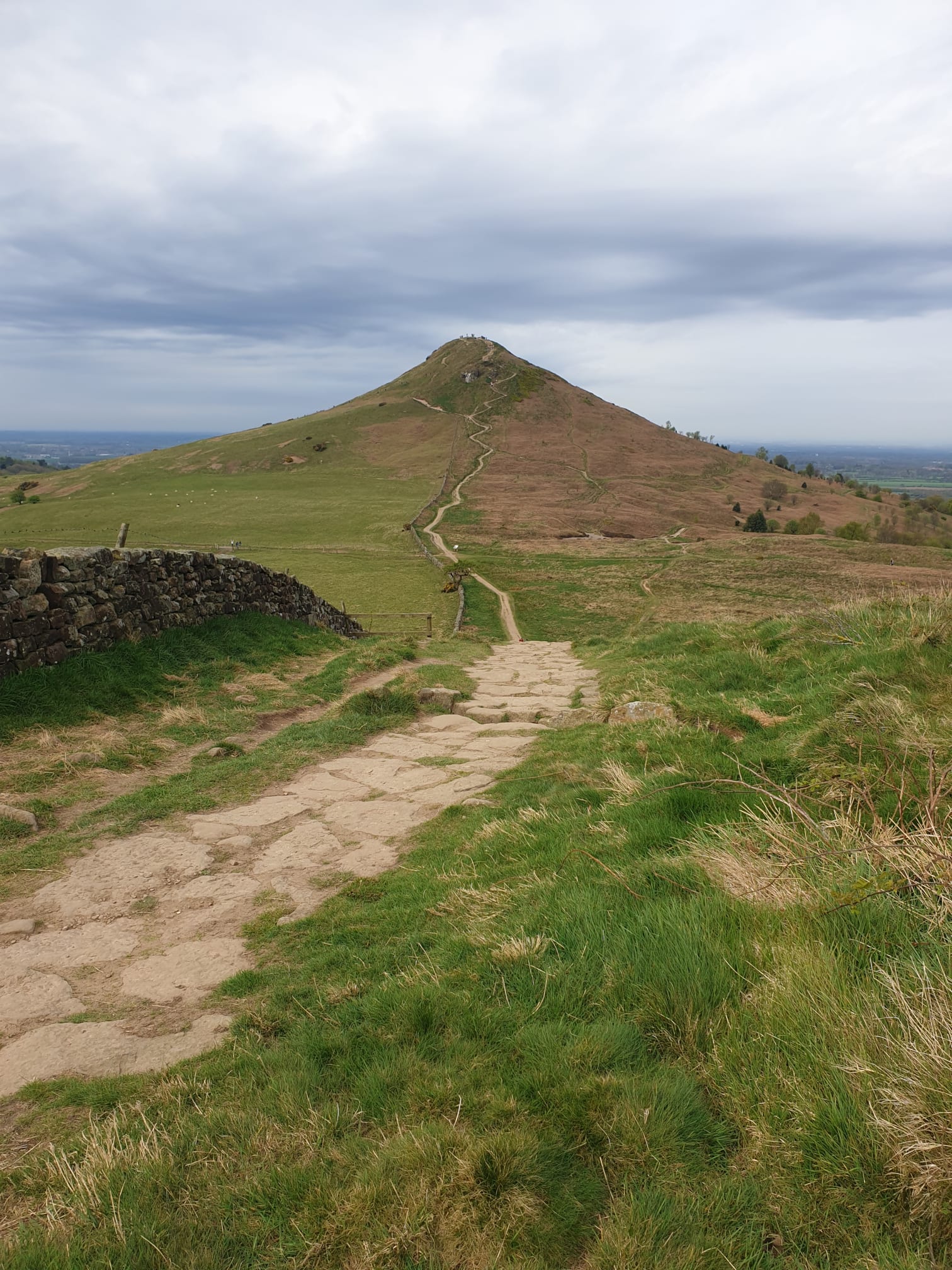
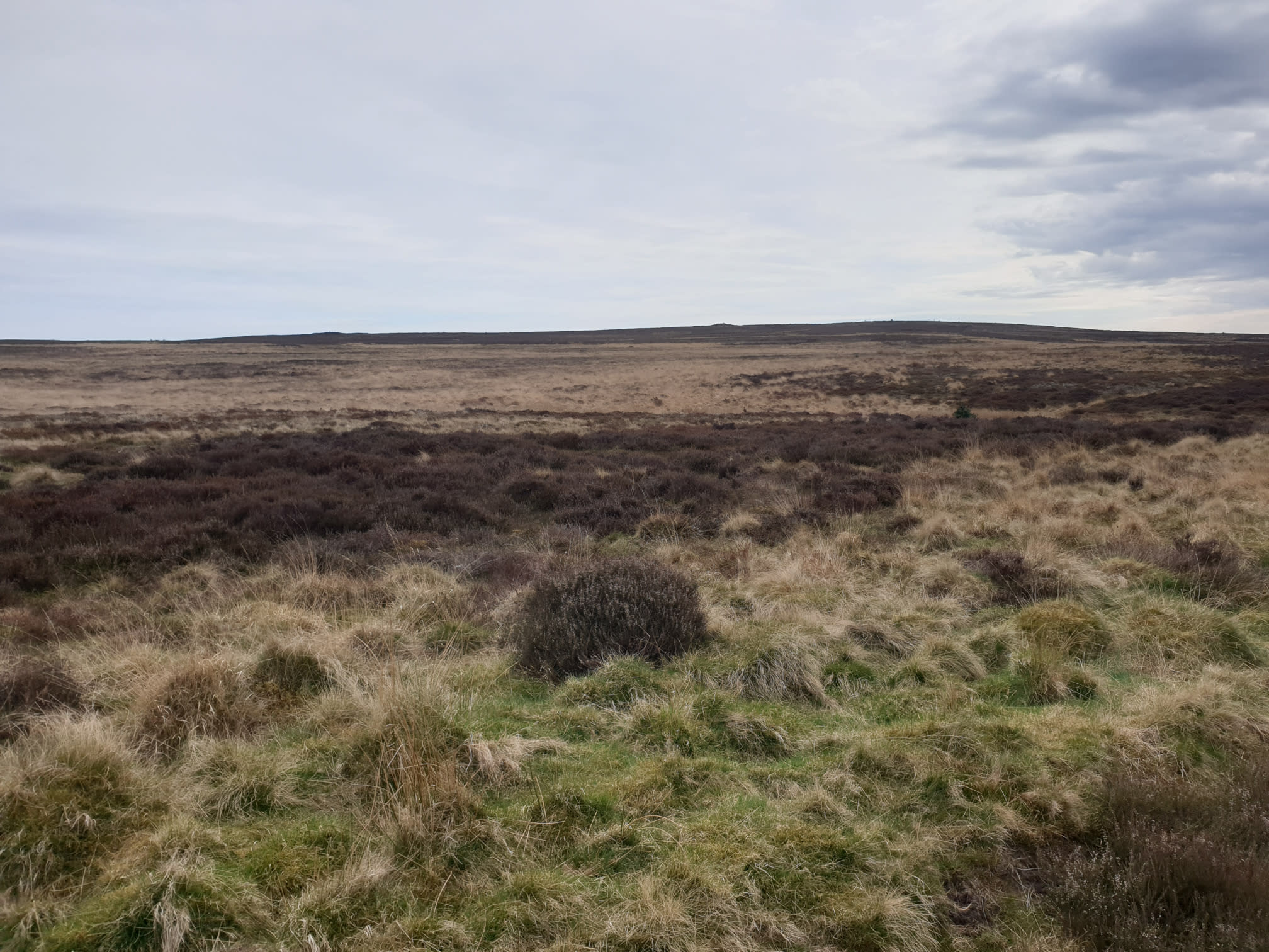
One last look at this side of Rosey as I headed South back to Gribdale along the edge of Great Ayton Moor.
Following the path, one last view of Rosey.
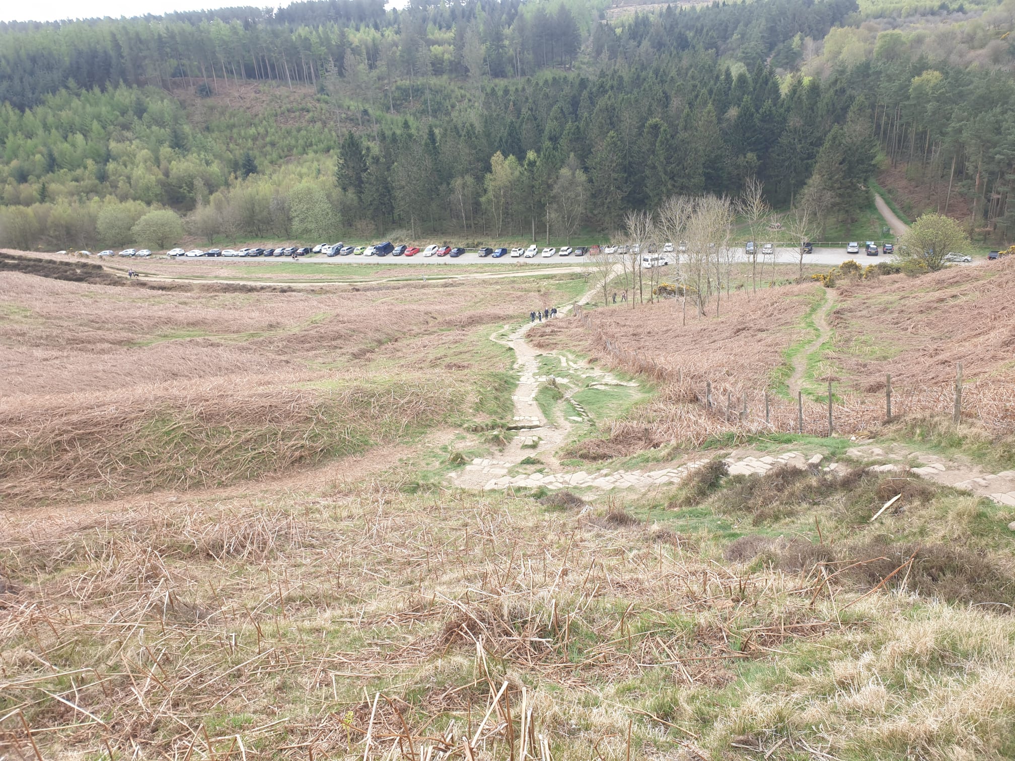
The final part of the path, a nice downhill (finally!) back to the car park. Spot the Tiggy.
Here are the Teesside routes: