Firstly, the route I took doesn’t quite cover the three peaks as Roseberry Topping was very busy so I just looked at it from afar. For a writeup on another route near Roseberry Topping see this page.
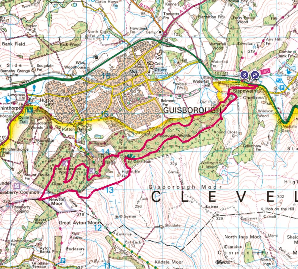
This is the route I took, a long, clockwise narrow loop, starting from a parking spot in this small car park just off the A171.


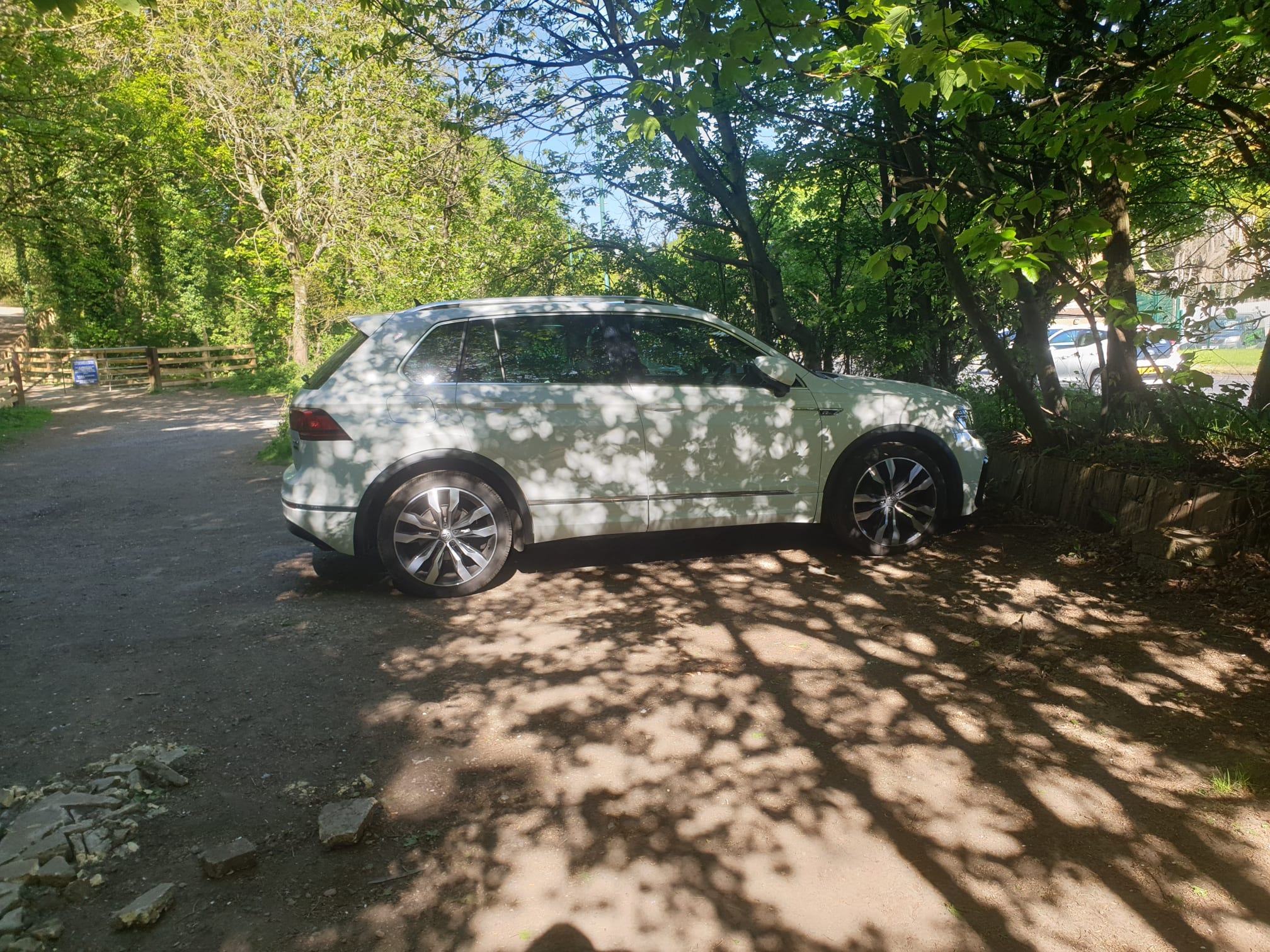
Here is the small, hidden parking spot with the A171 in the background. There is parking over the road at the pub at Slapewath but it can get a bit busy there.
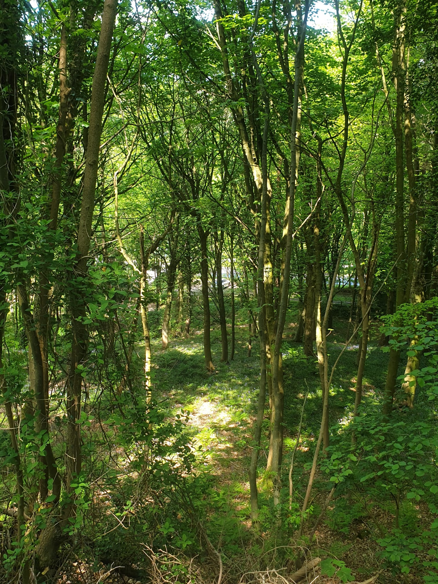
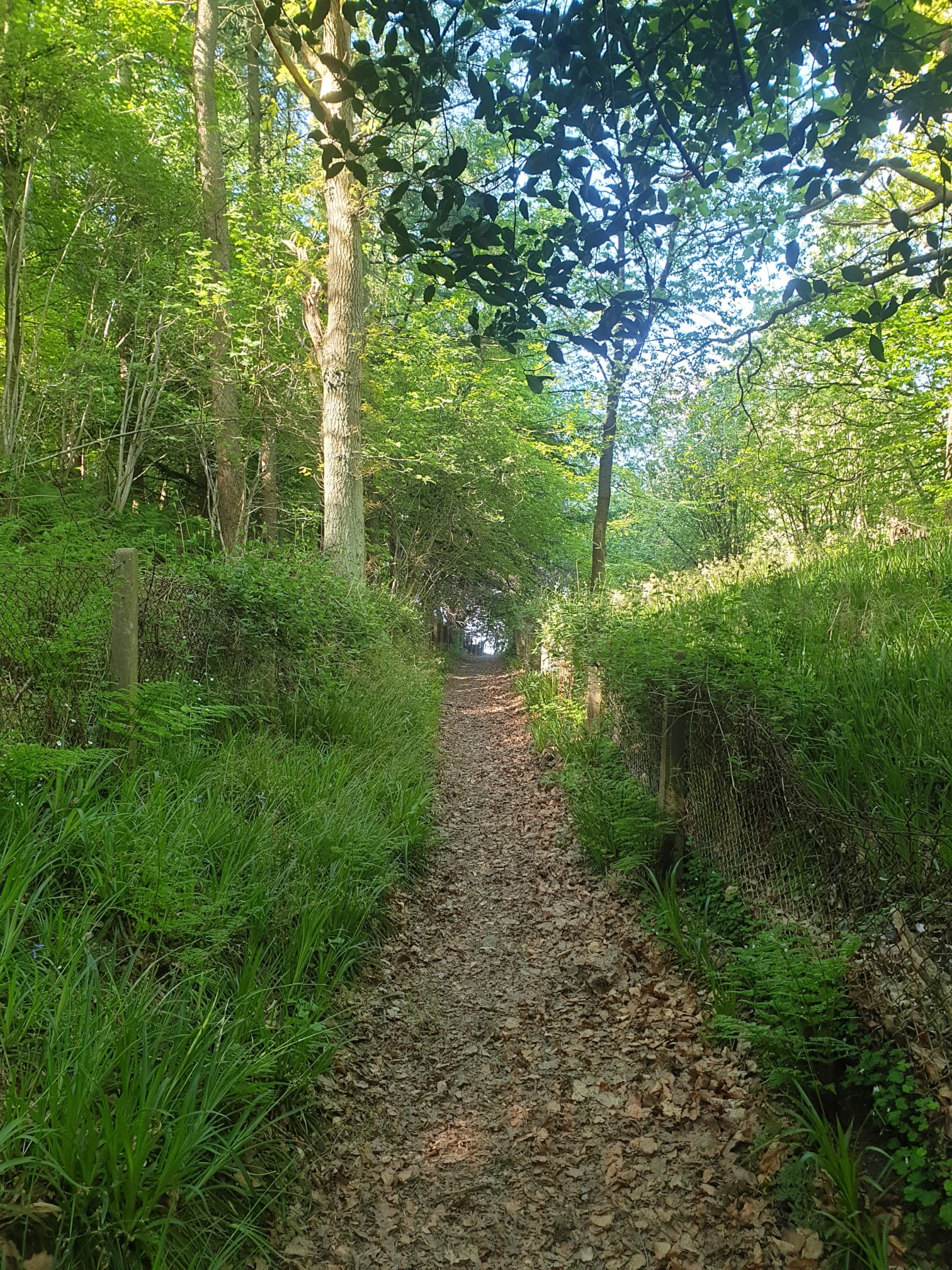
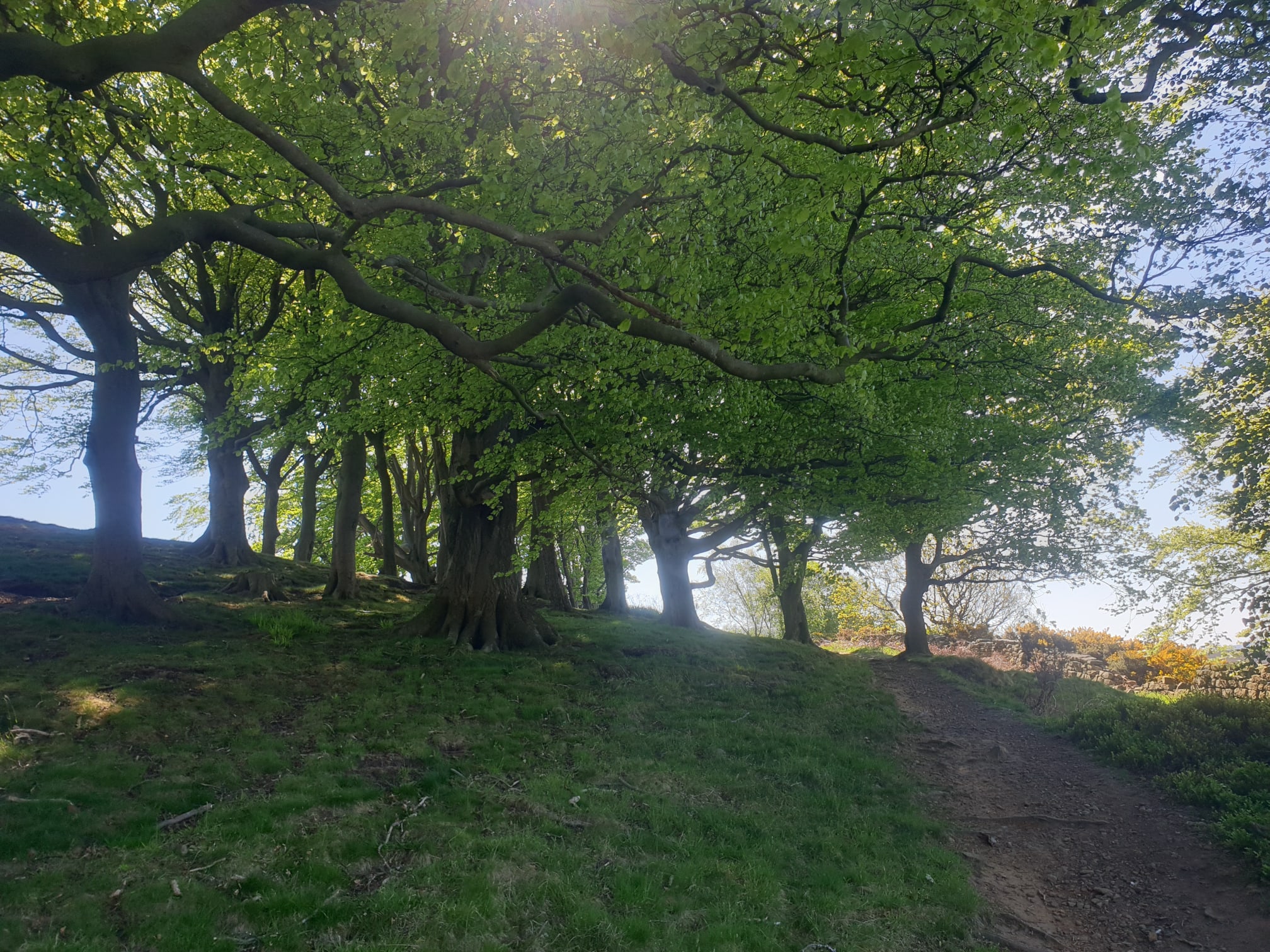
From the parking spot the route follows the Cleveland Way east, parallel to the A171. Then a tight u-turn, has you heading west, uphill through the woods.
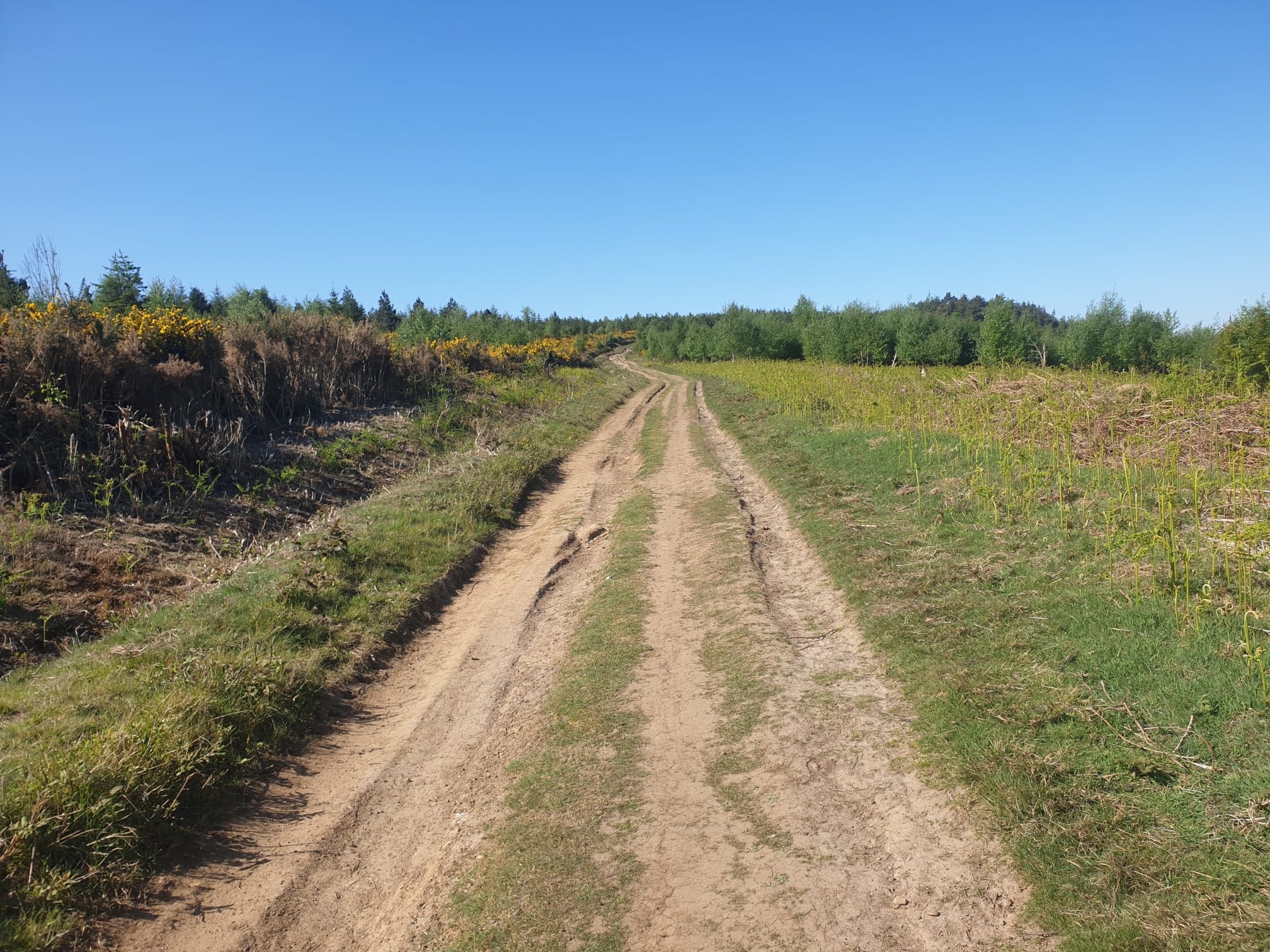
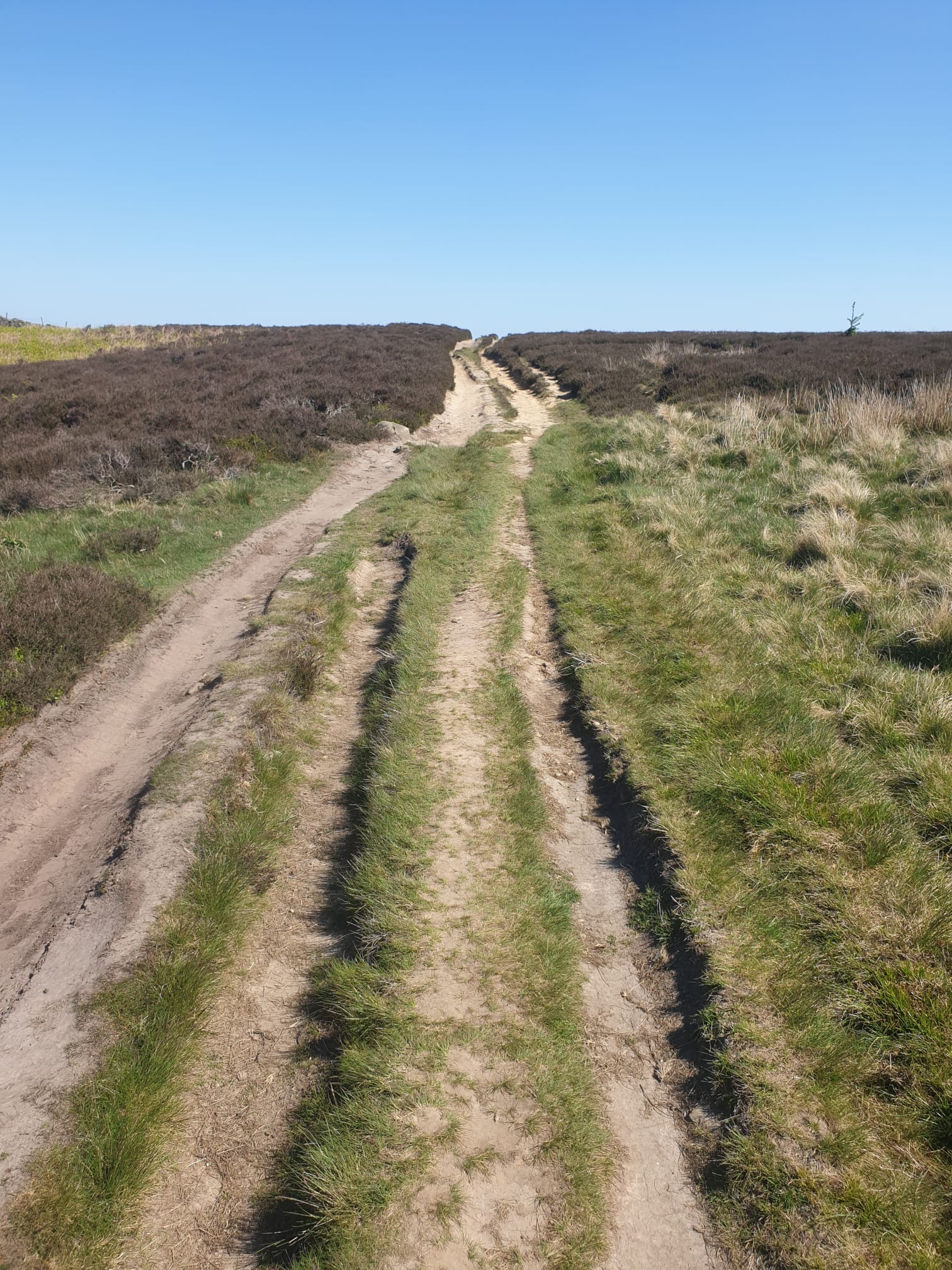
Keep following the Cleveland Way up through the woods until it then levels out along the hilltop as a wide dirt track for a couple of miles.
The path follows along the top of the hill so has some great views over to Redcar and the North Sea beyond.
And Errington Hill.
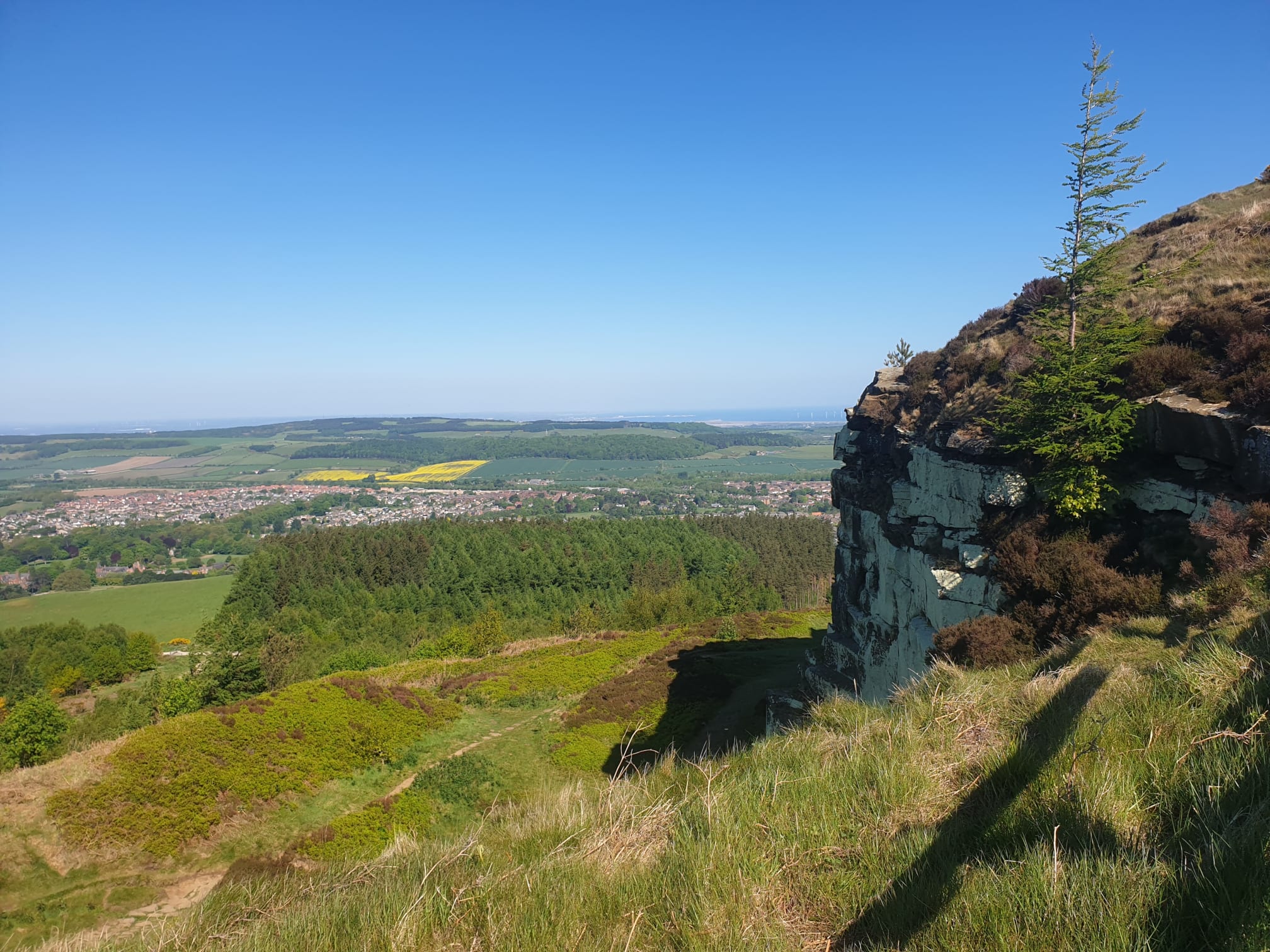
Keep following the track for a couple of miles, the first view of Highcliff Nab, the first peak.
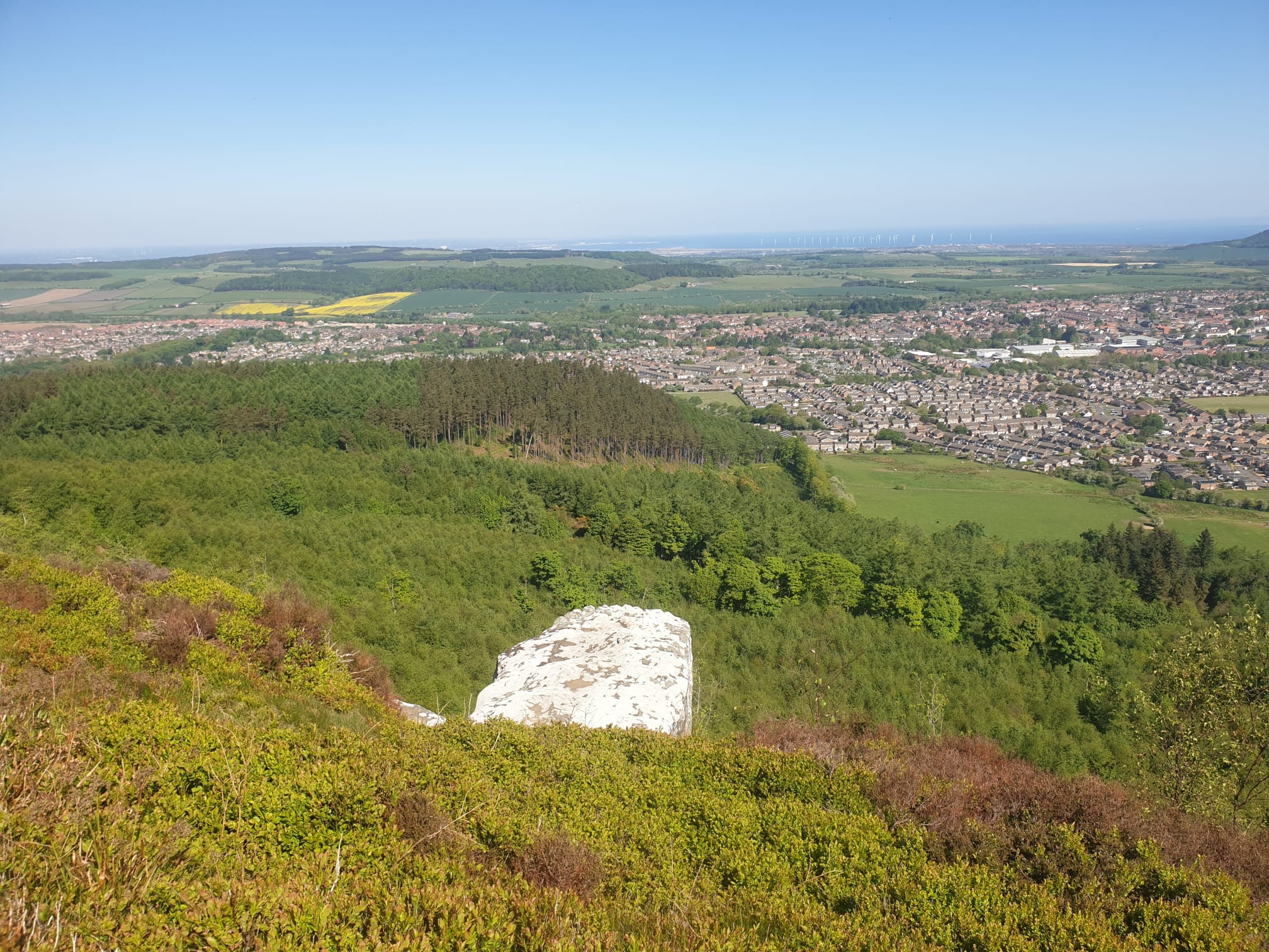
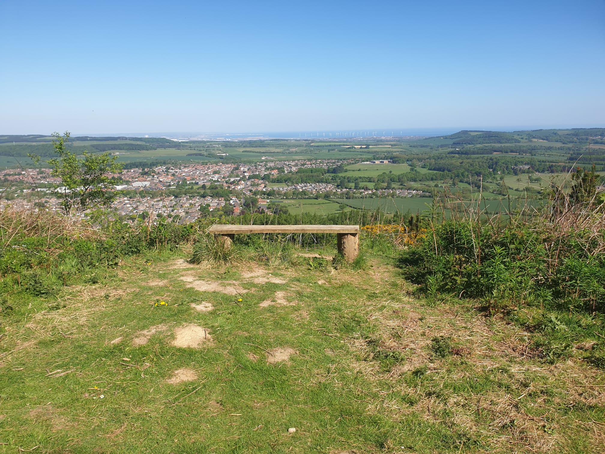
The view from the top of the nab over Guisborough.

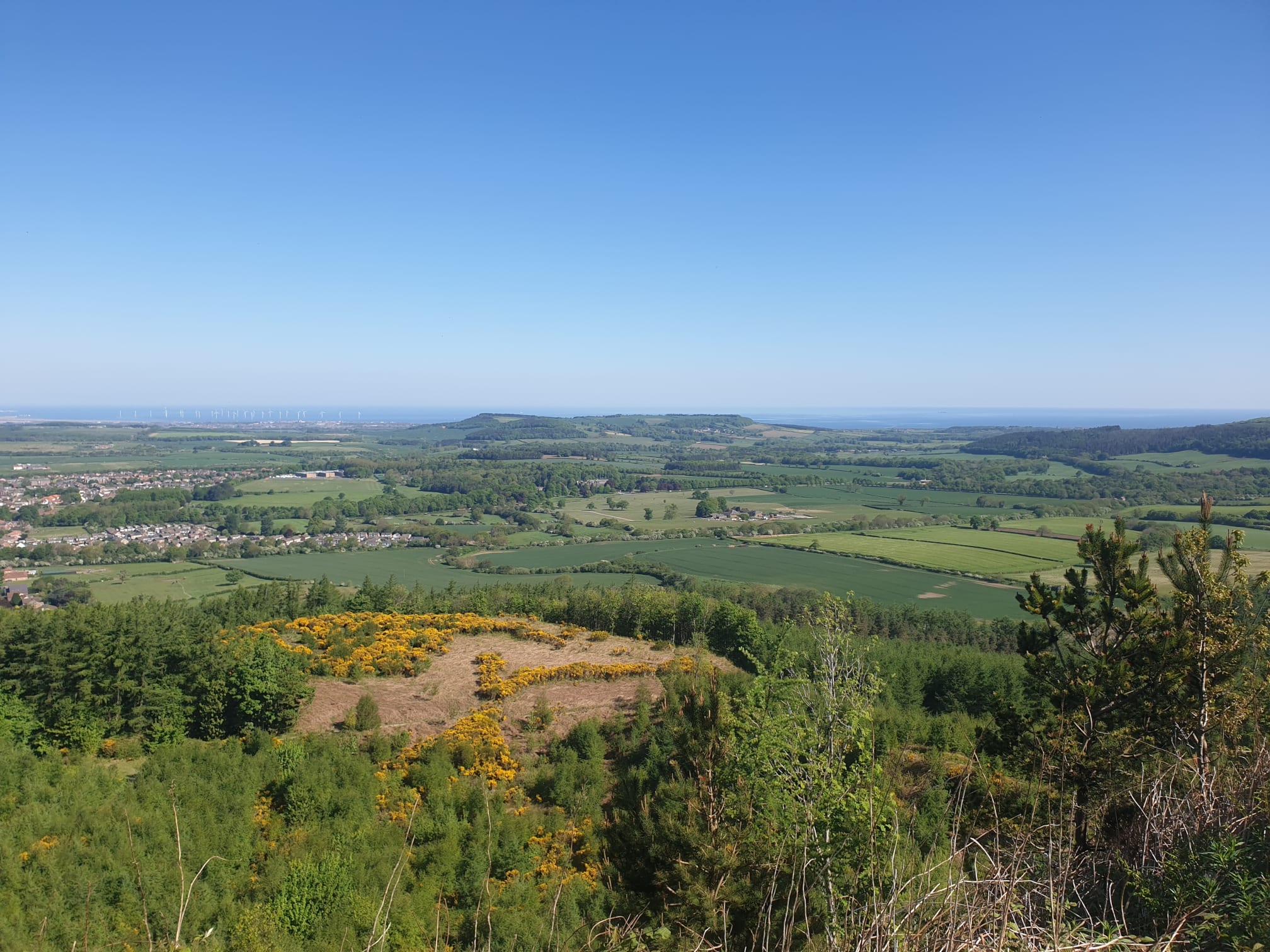
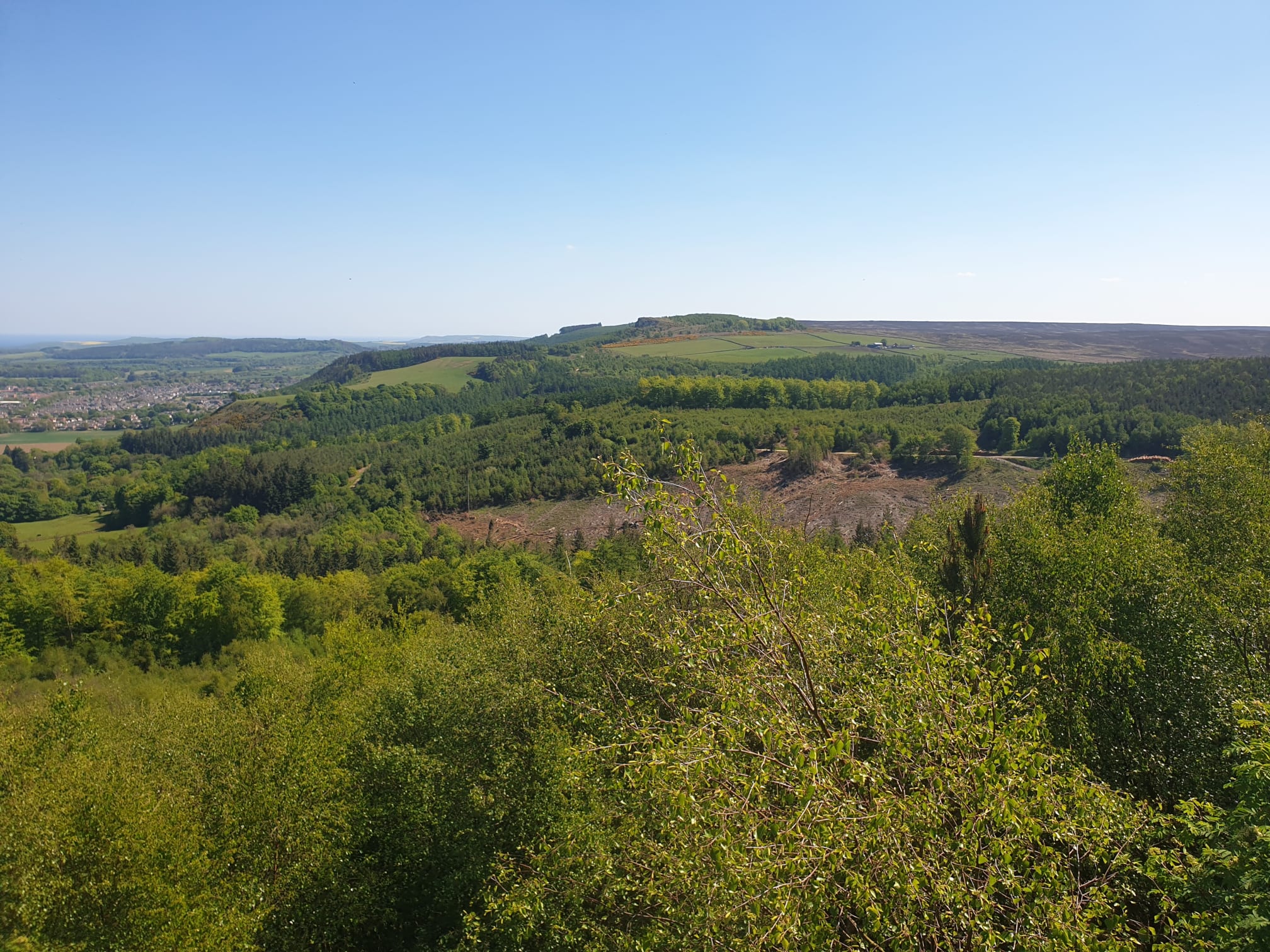
This view shows the next part of the route in the distance, past a farm on the moorside of the wall and on to the forest to the right.
The forest in more detail. This pic also shows,in the bottom right of the pic, the track we’ll be taking back through the woods.
One final view over Guisborough.
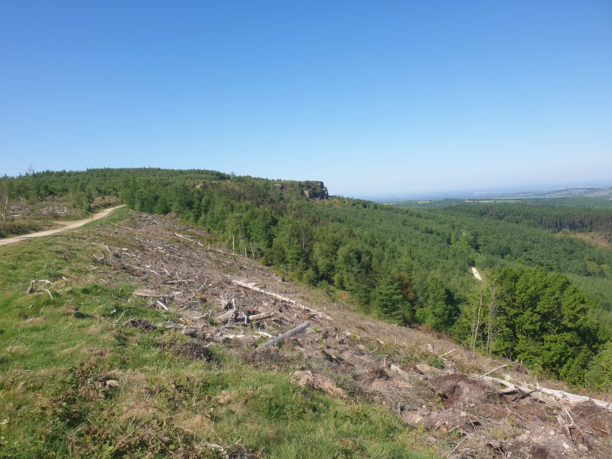
After the taking in the views from the nab, continue to follow the Cleveland Way downhill, west, here you see the cliff itself.
Heading south for a short distance through a small wooded area.
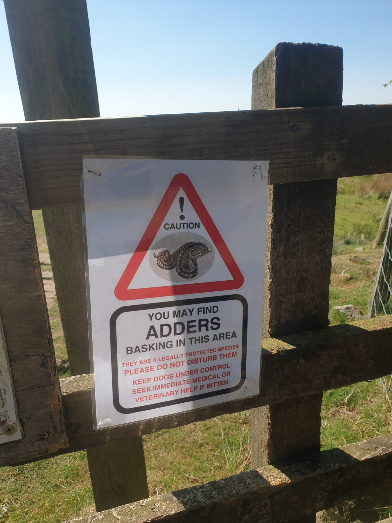
The gate at the edge of the woods to the moors. Last time I was in this area on the Roseberry Topping Loop it was a slow worm, now it’s Adders!
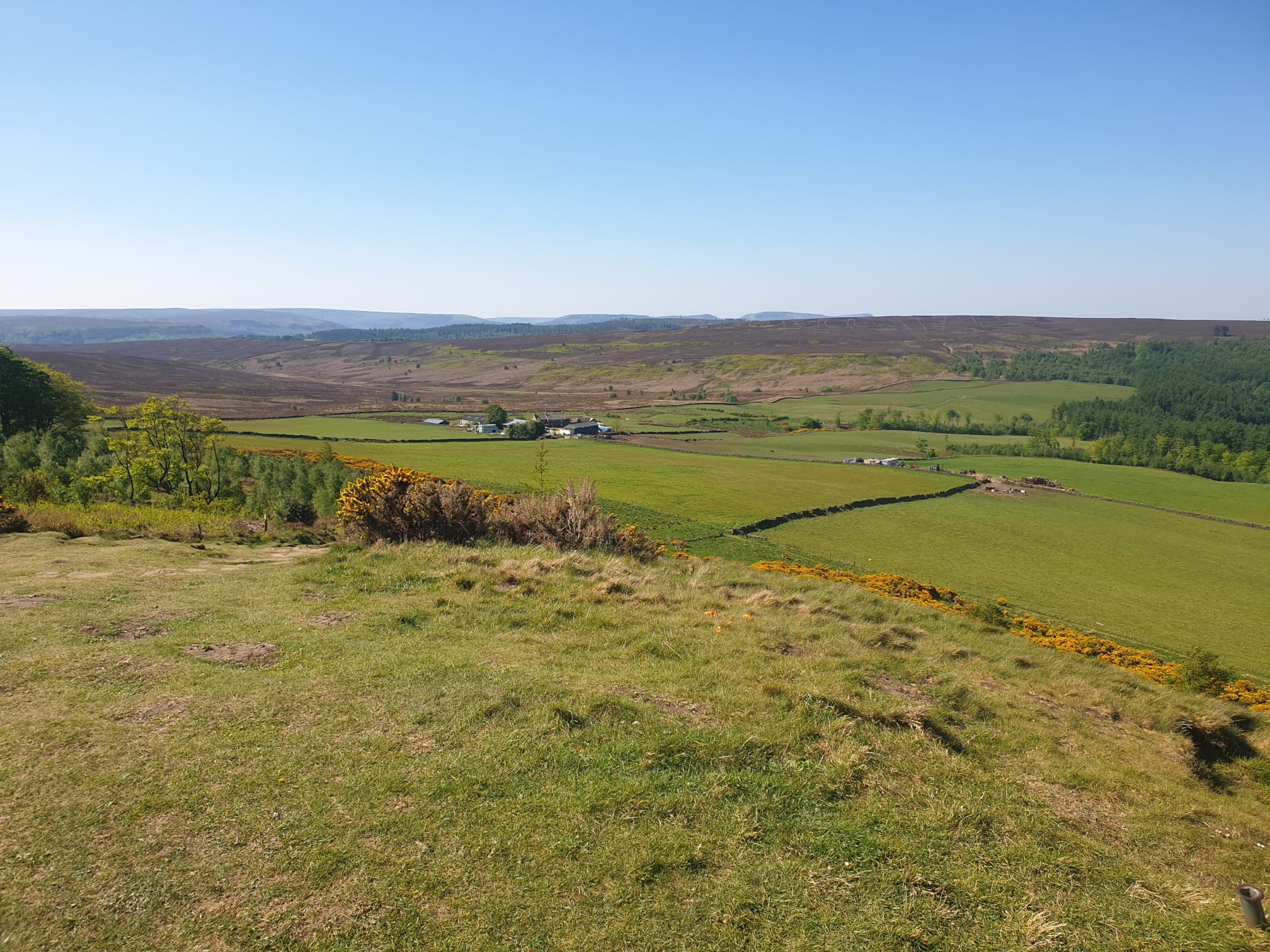
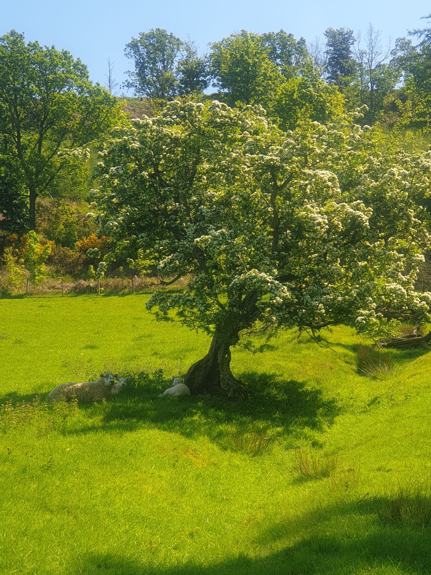
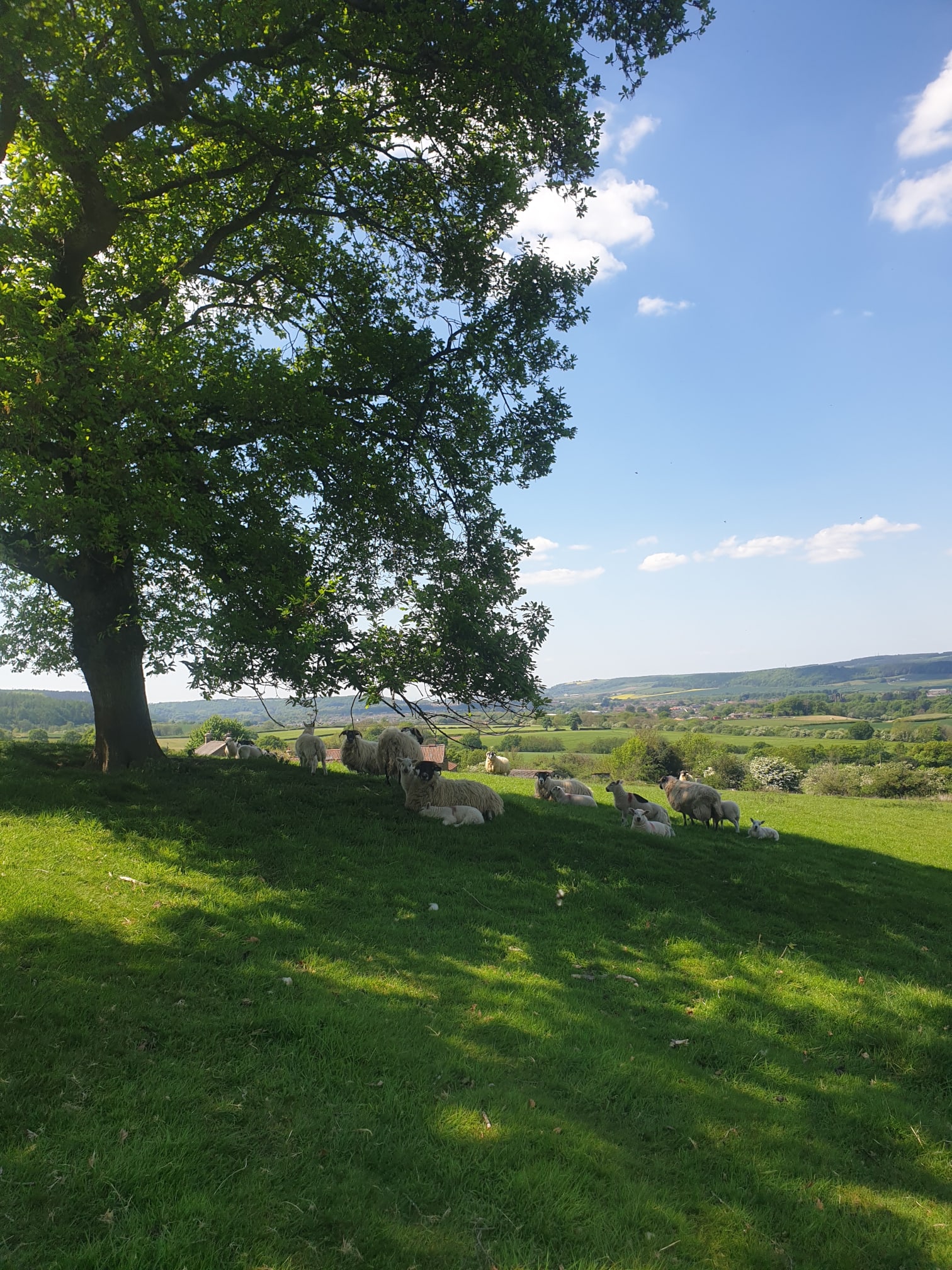
Continue along the Cleveland Way, with the moors on your left and Highcliffe Farm and its fields to the right. The pic below is a mile later, looking back at where we’d come from, showing the cliff, farm and stone path running parallel to the drystone wall.
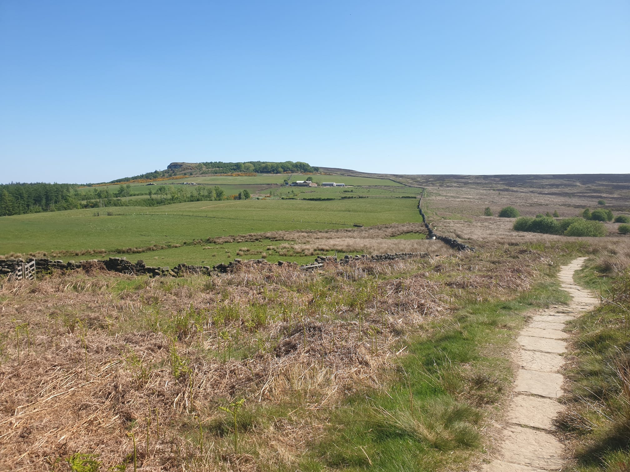
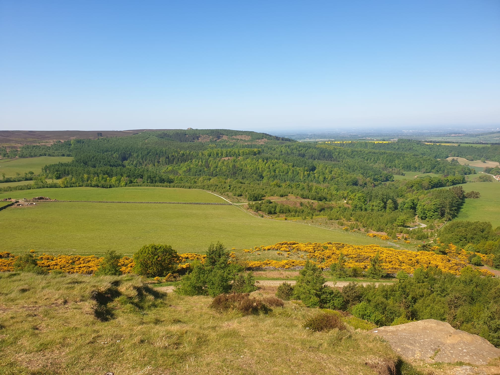
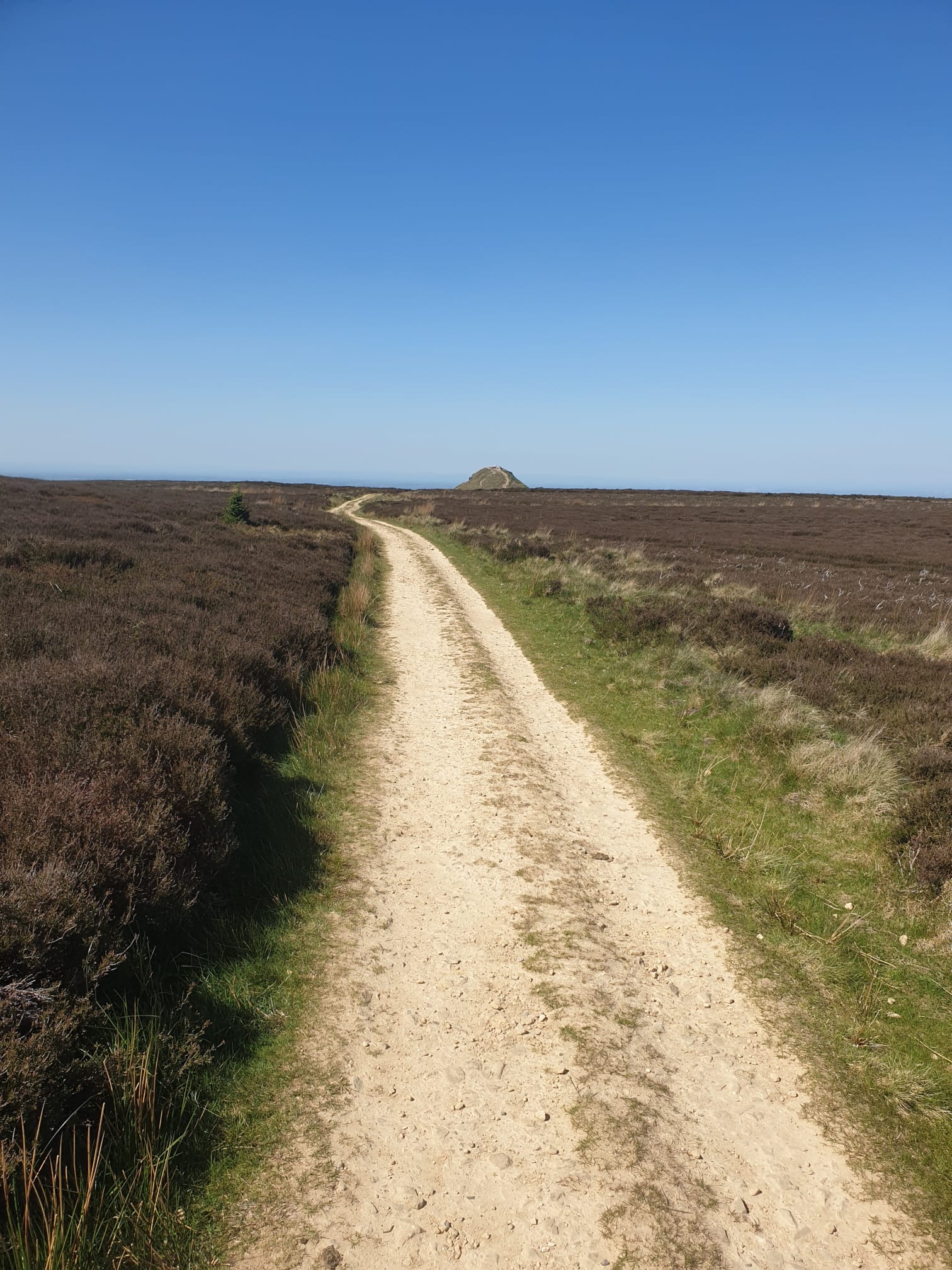
Continue along the path, leaving the fields behind and heading over Hutton Moor and Newton Moor. Here you get the first view of the second peak, Roseberry Topping “peak”ing over the horizon.
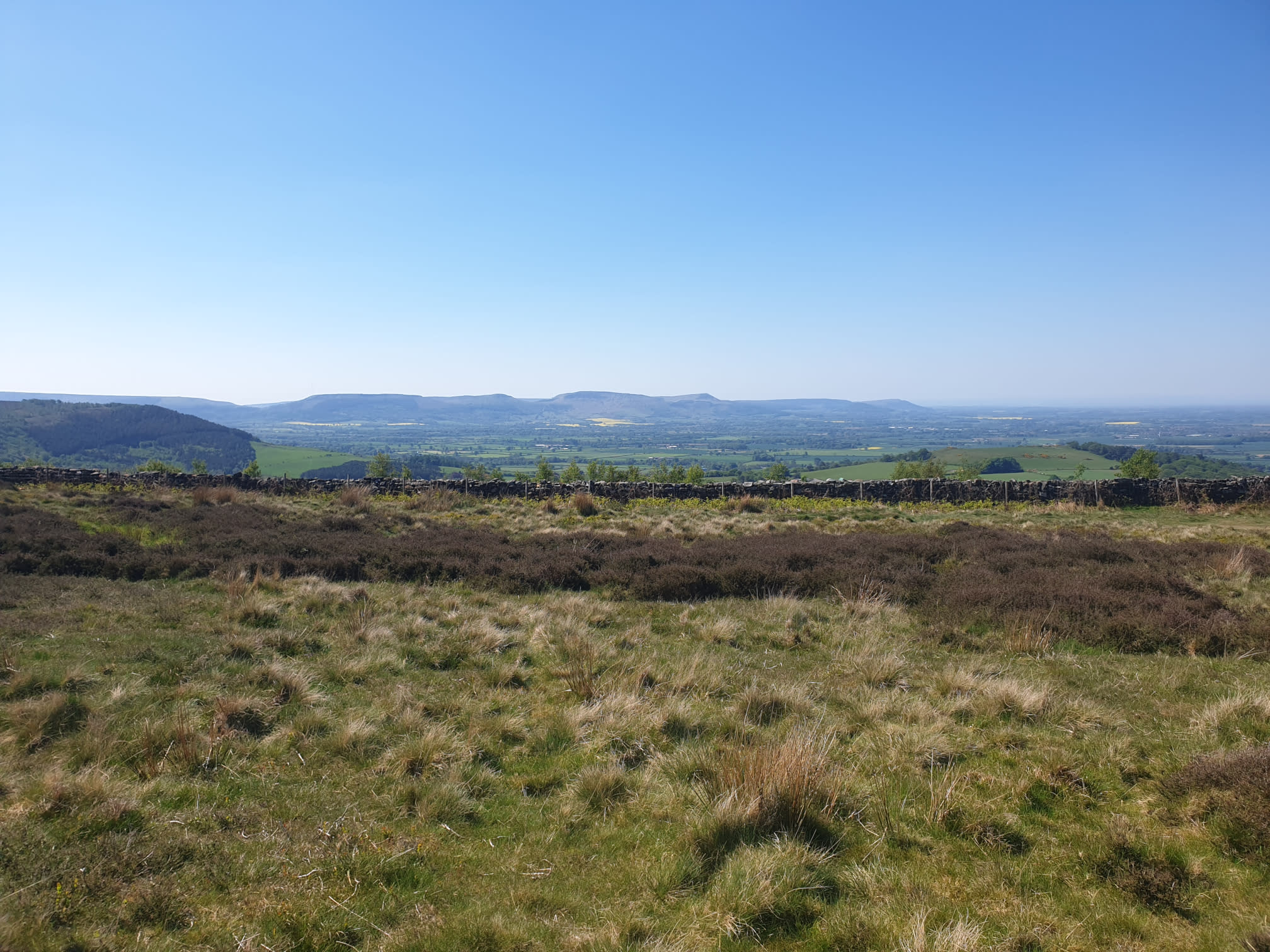
Also a good view of the Lordstones peaks which have been covered on a few walks including the Lordstones Peaks Tour.
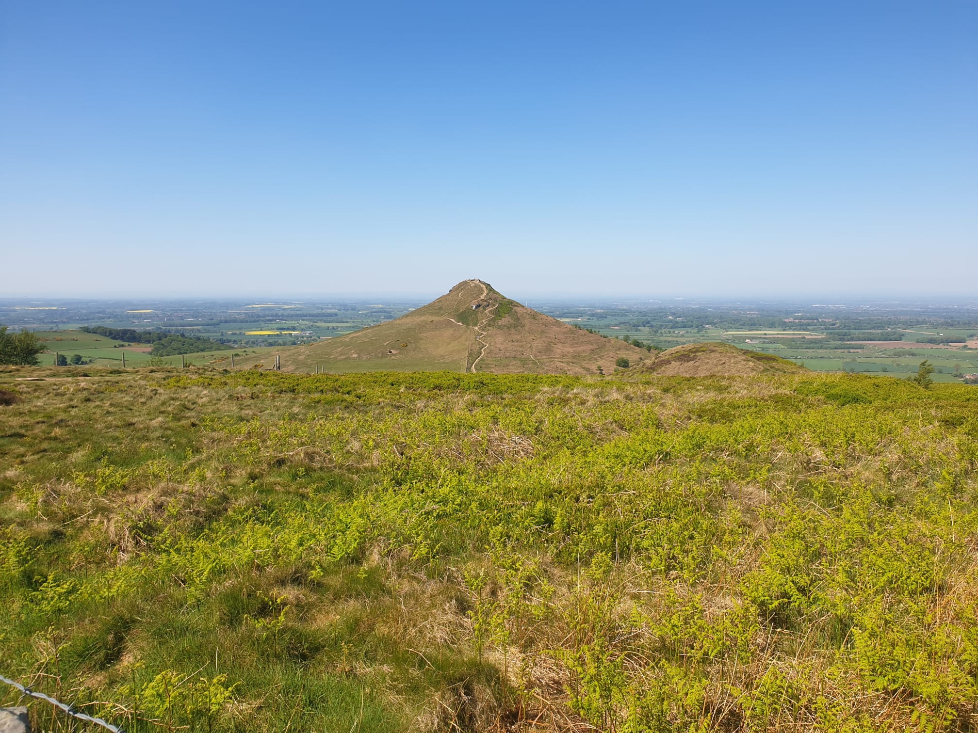
The closest I got to Rosey on this hike, due to lots of hikers – so the last point we’re on the Cleveland Way.
Turn right off the Cleveland Way, now heading north along another dirt path to the third peak…
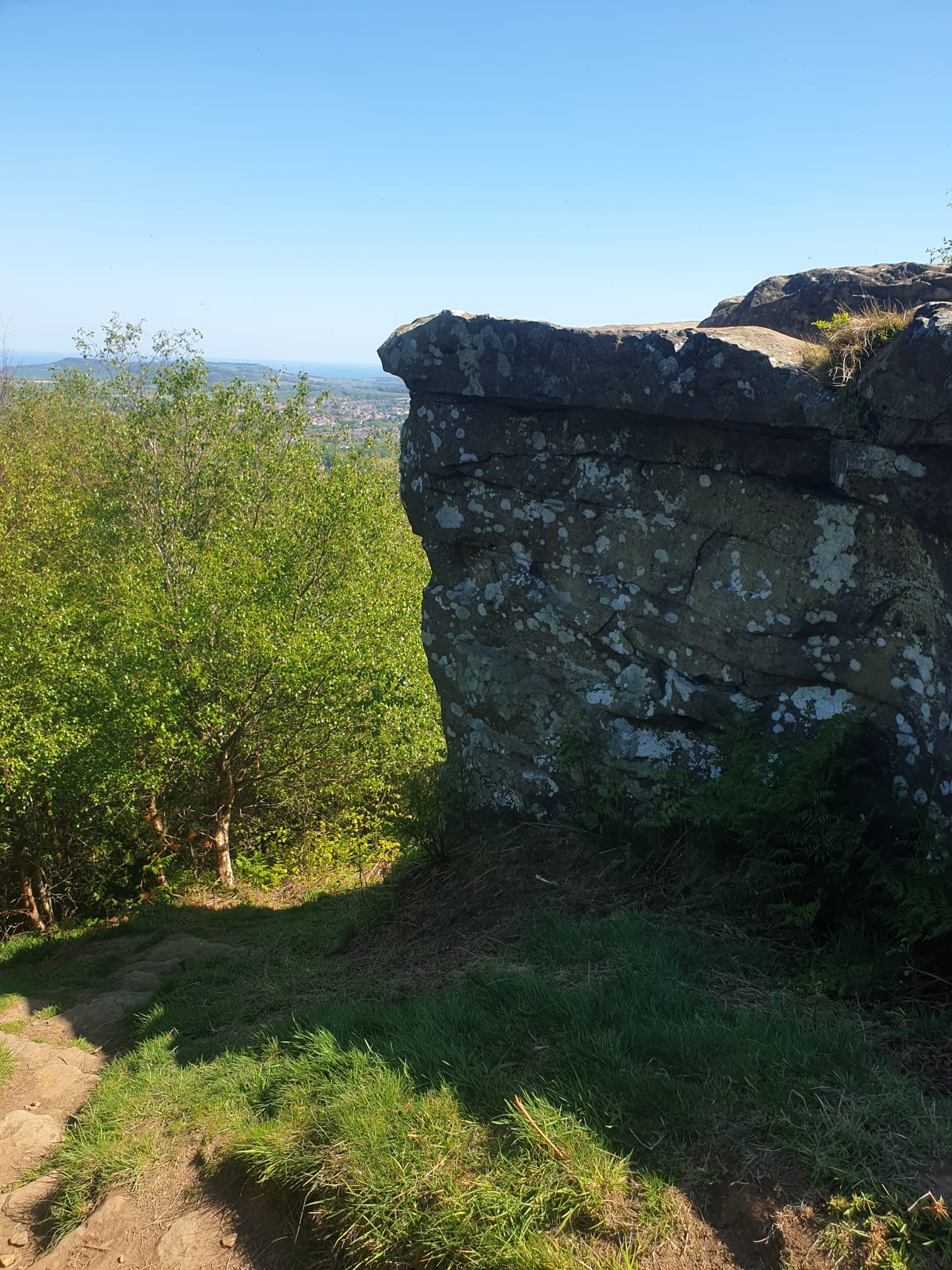
Hanging Stone.
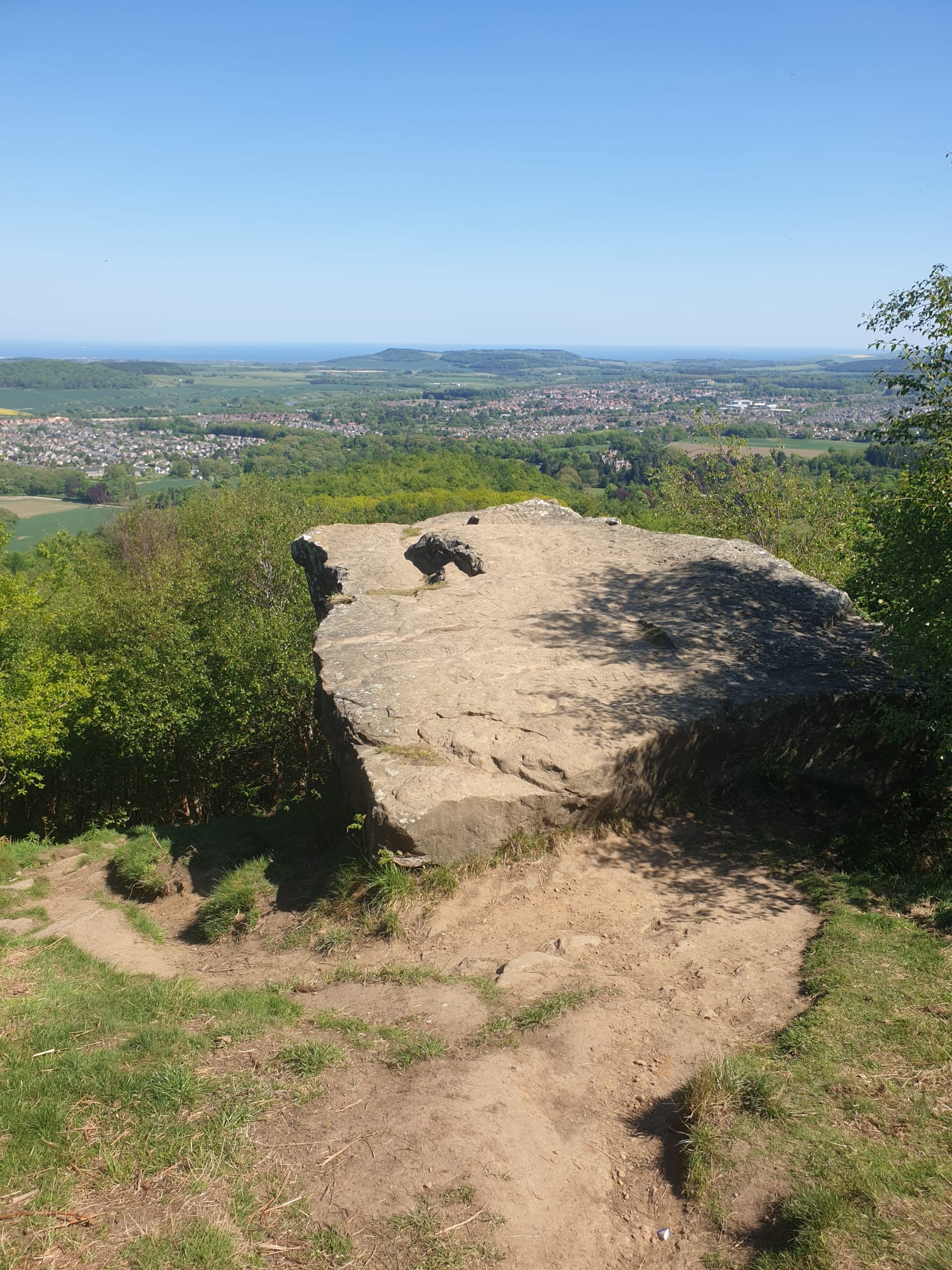
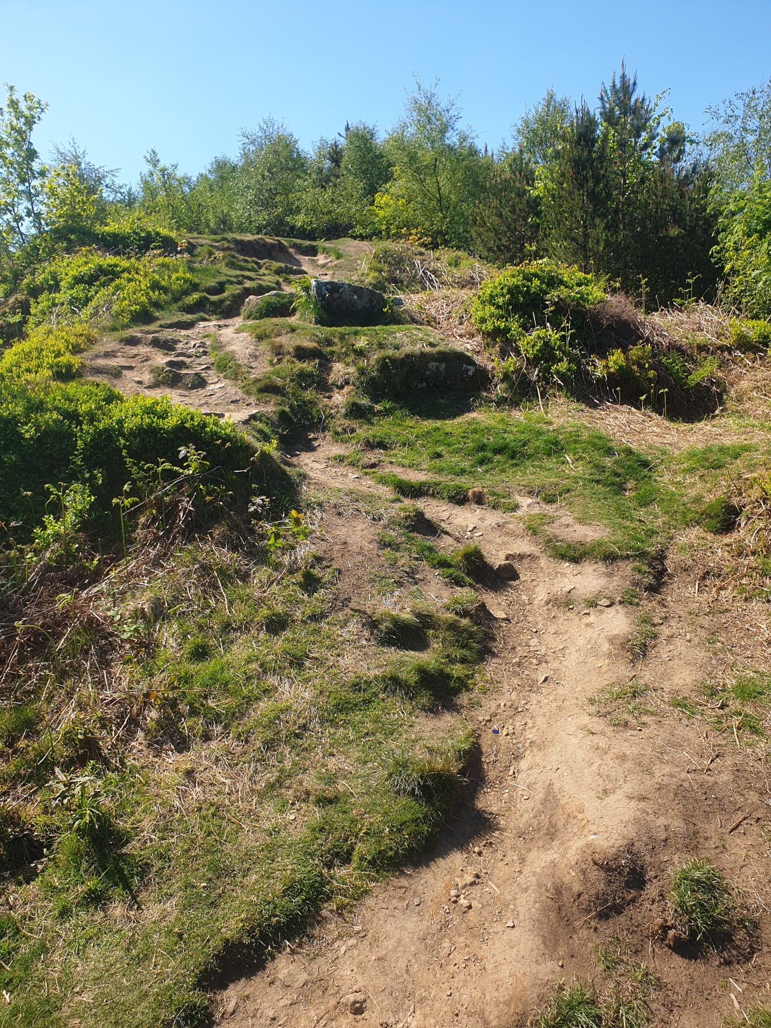
It’s a little bit of a downhill scramble to get down to the stone itself.
But worth it for the views.
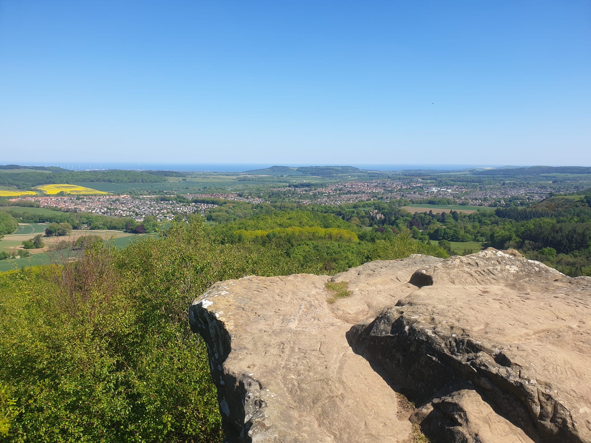
Looking back at where we came, in the distance, Highcliff Nab and Highcliffe Farm, again.
Hanging Stone profile shot. Showing the path to the left which is what you take to get to head down to the next point, the Blue Lake.
Follow the footpath down into the woods for a short distance.
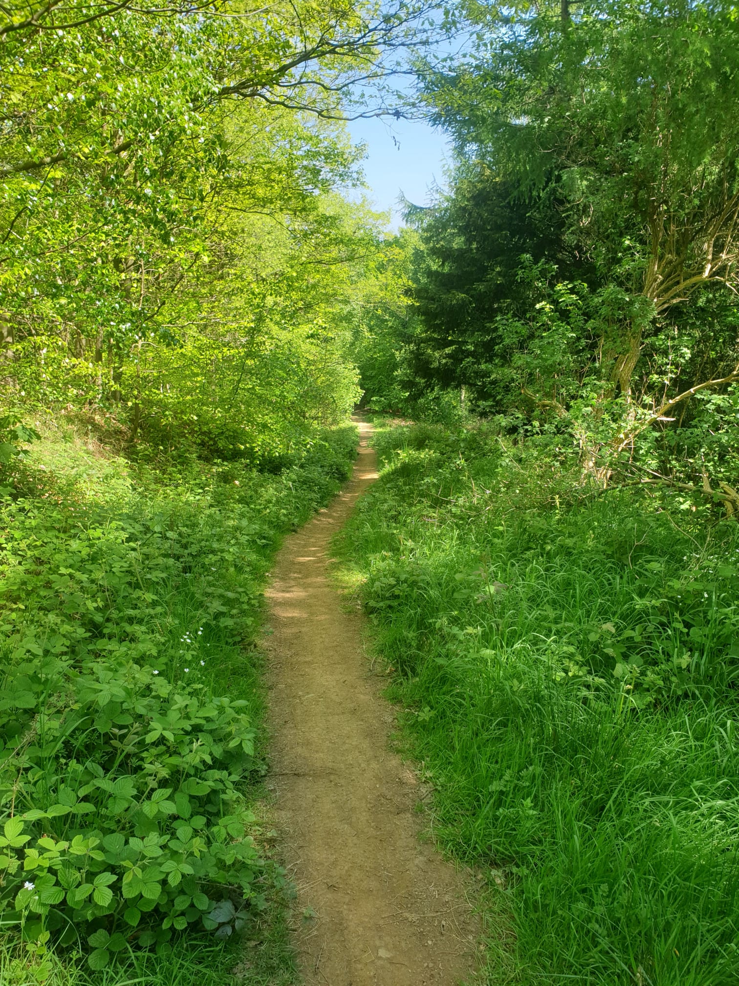
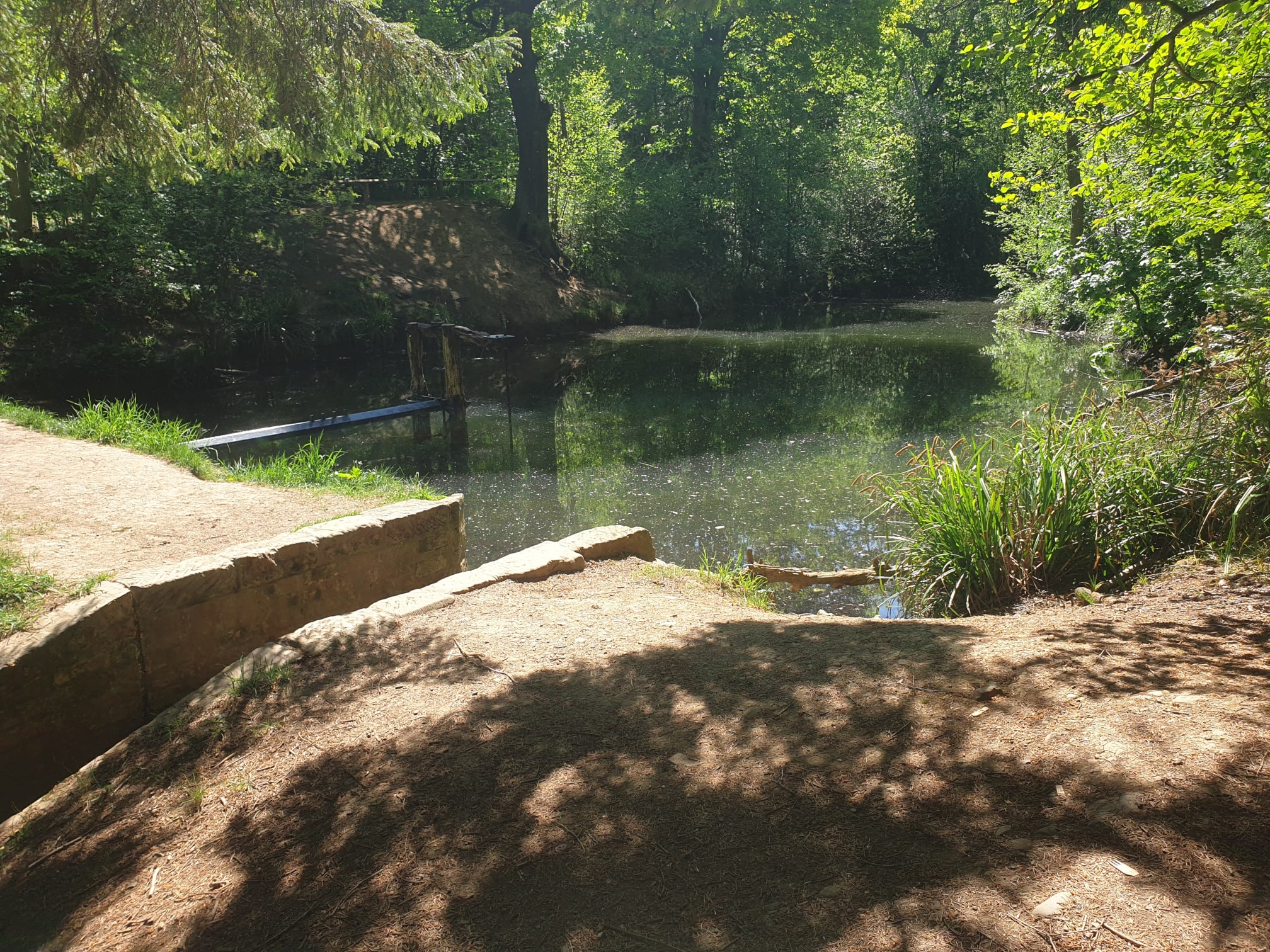
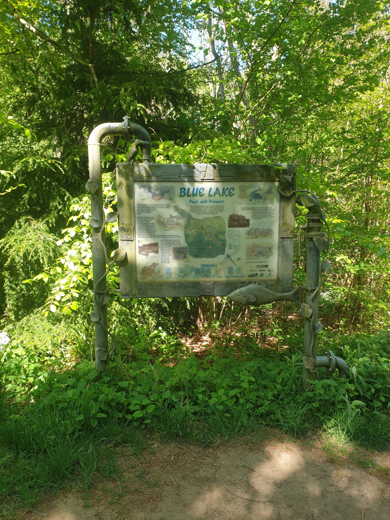
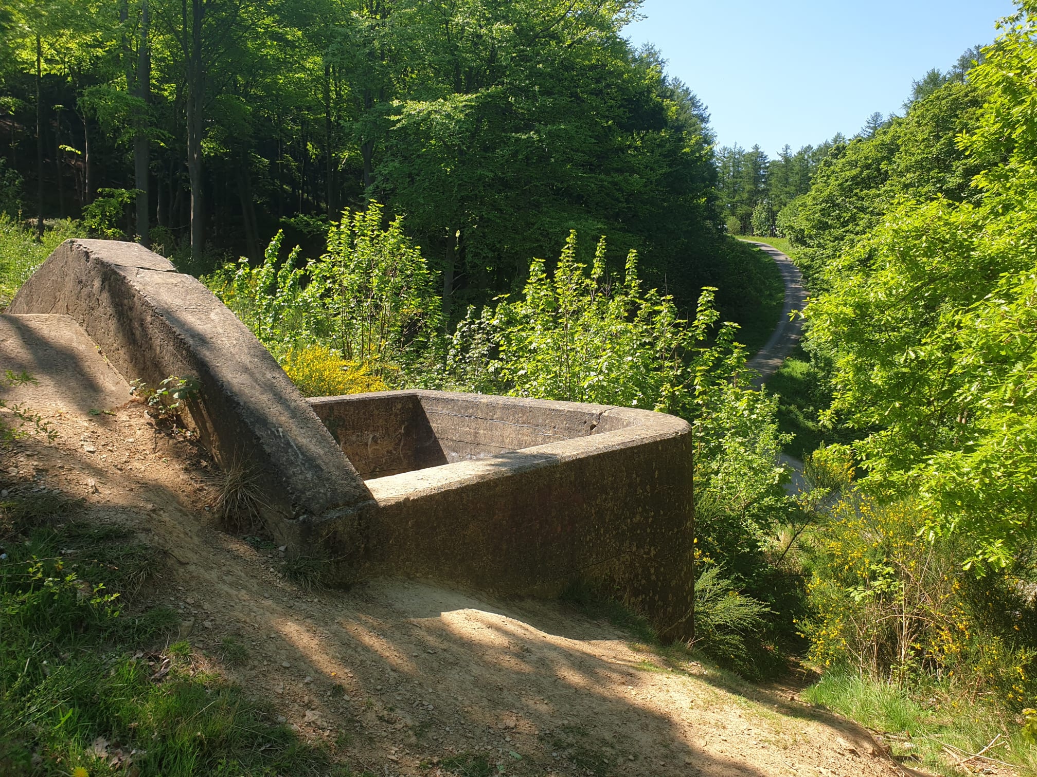
Leaving the track and heading right, through the woods to get to the Blue Lake. To be honest – I’ve seen Blue-er.
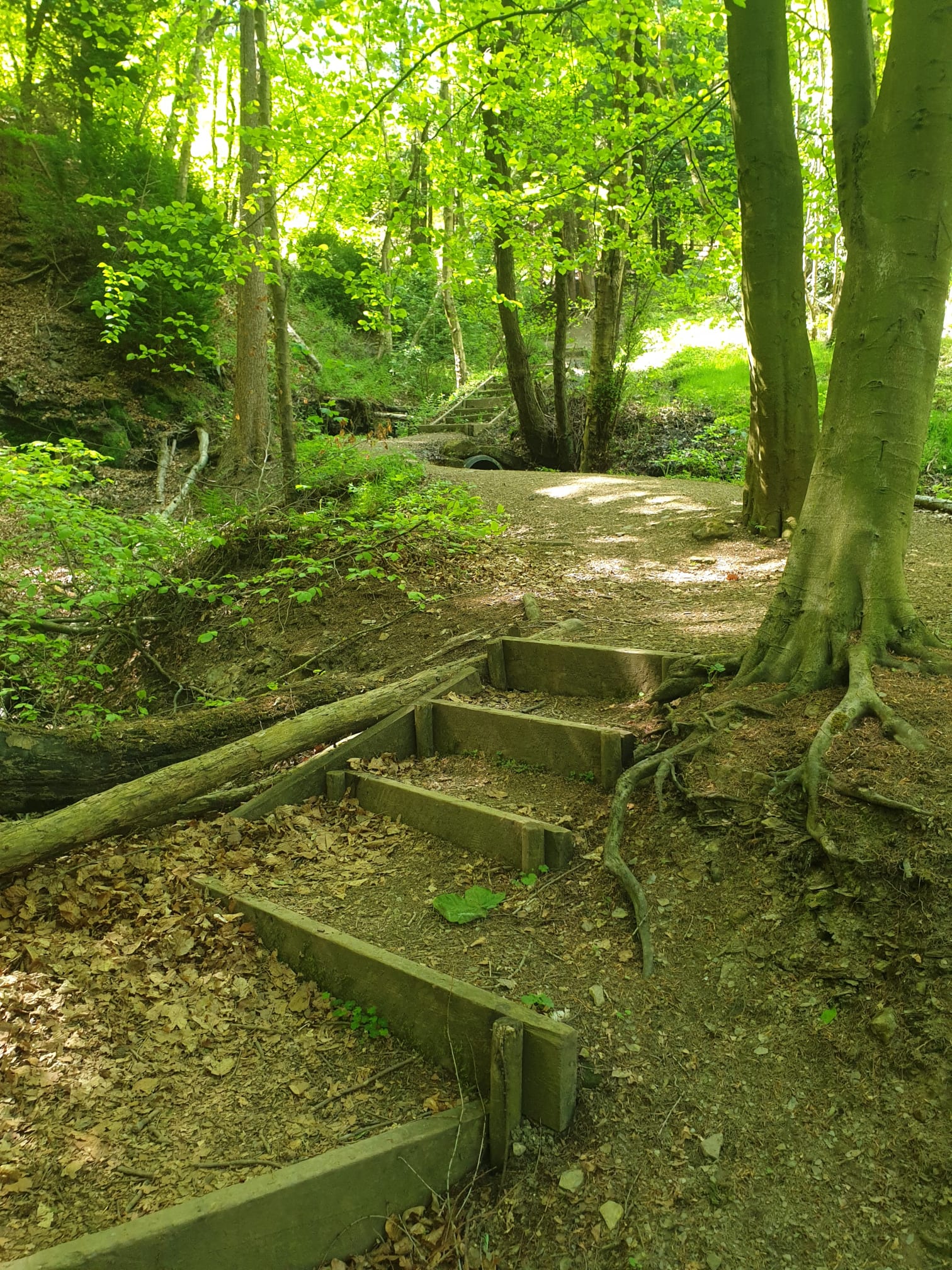
Thats the last of the places of interest done, so it’s time to head back through the forest to Tiggy along the path through the woods. There are various tracks that could be taken, I chose this uphill track through the forest.
It did involve some stairs at the very top as you join a main track through the woods.
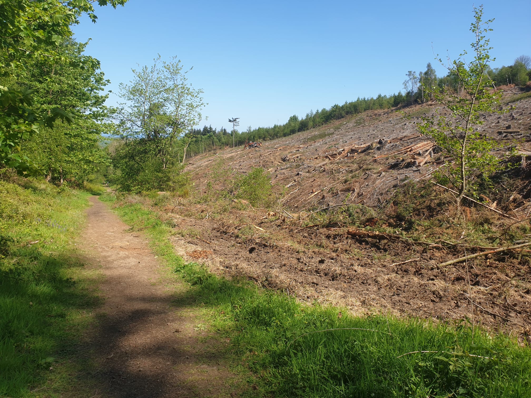
Joining the main track which we follow for most of the way back, lots of forestry workings, warning signs and a stony track.

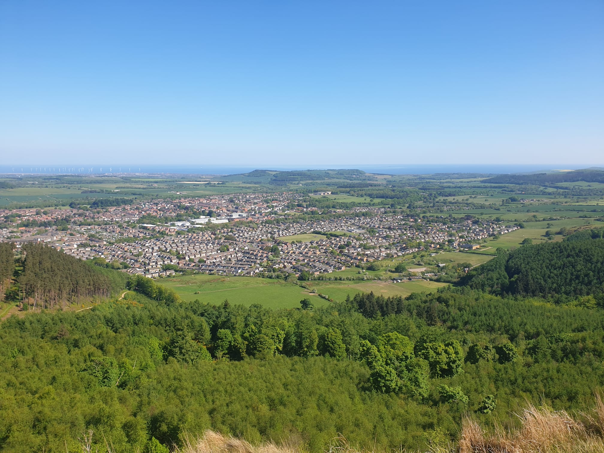
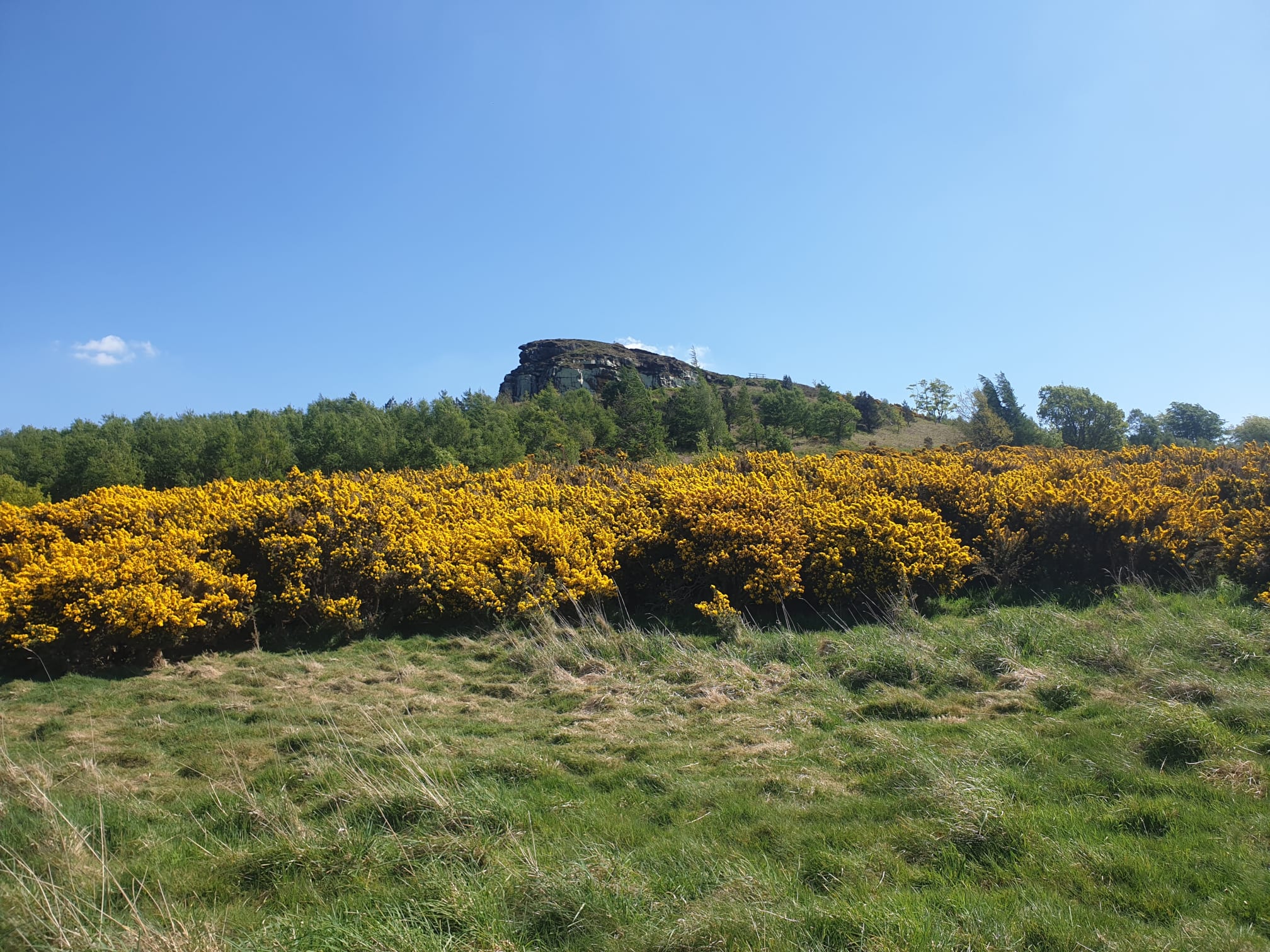
There is a gap in the woods at one point where you get a good view from the bottom of Highcliff Nab.
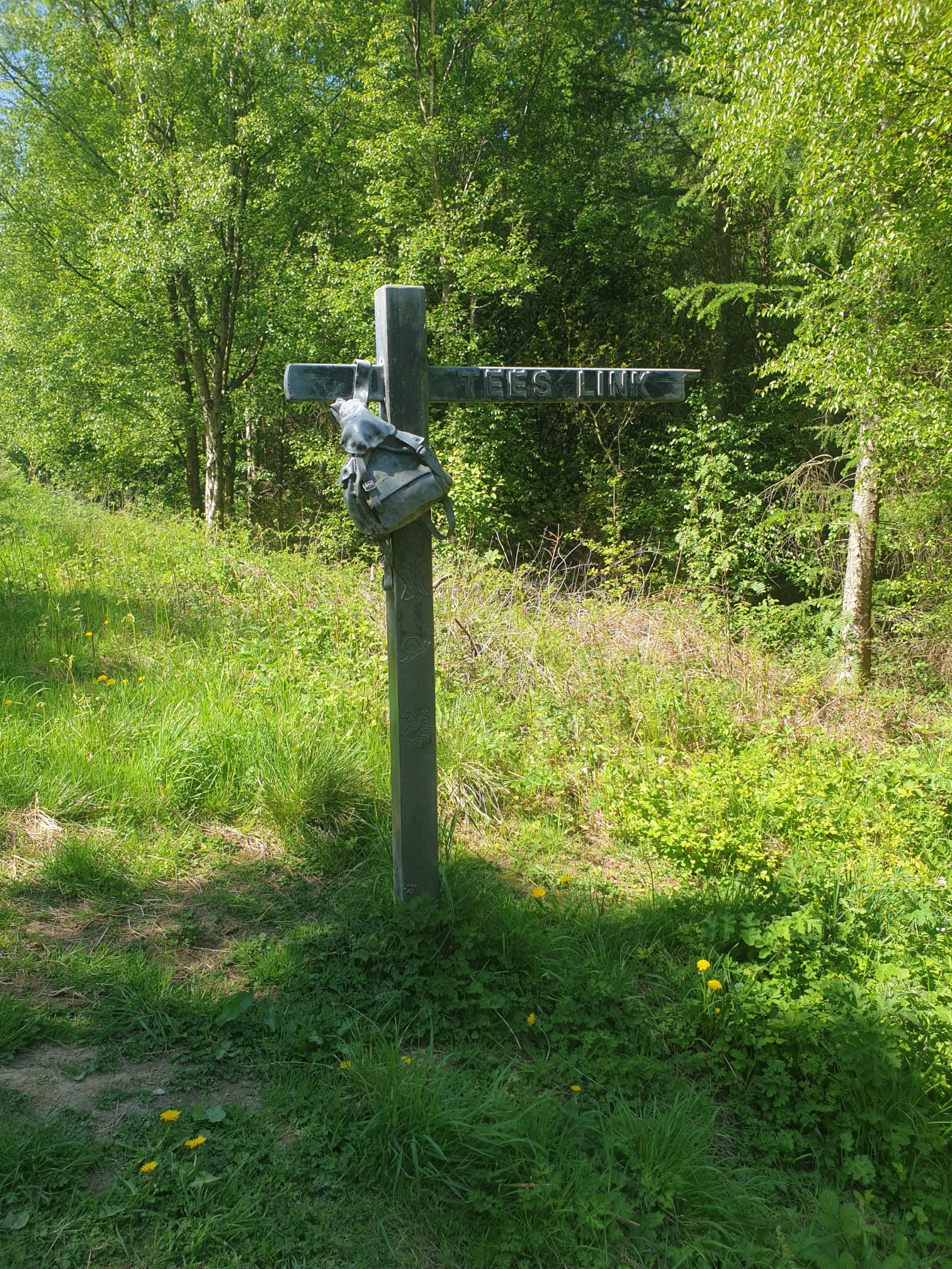
Then it’s carrying on along the stony track, at least it’s mostly level. An interesting sign at the Forest track junction with Tees Link.
As well as interesting footpath signs there are mine works dotted around here and there.
Finally getting near the end of the trek you pass though some farmland as the path gets to the northern edge of the woods.
Pass by Old Park Farm before joining back onto the Cleveland Way and back through the woods following the same path we started on for the last half mile. Spot the Tiggy.