
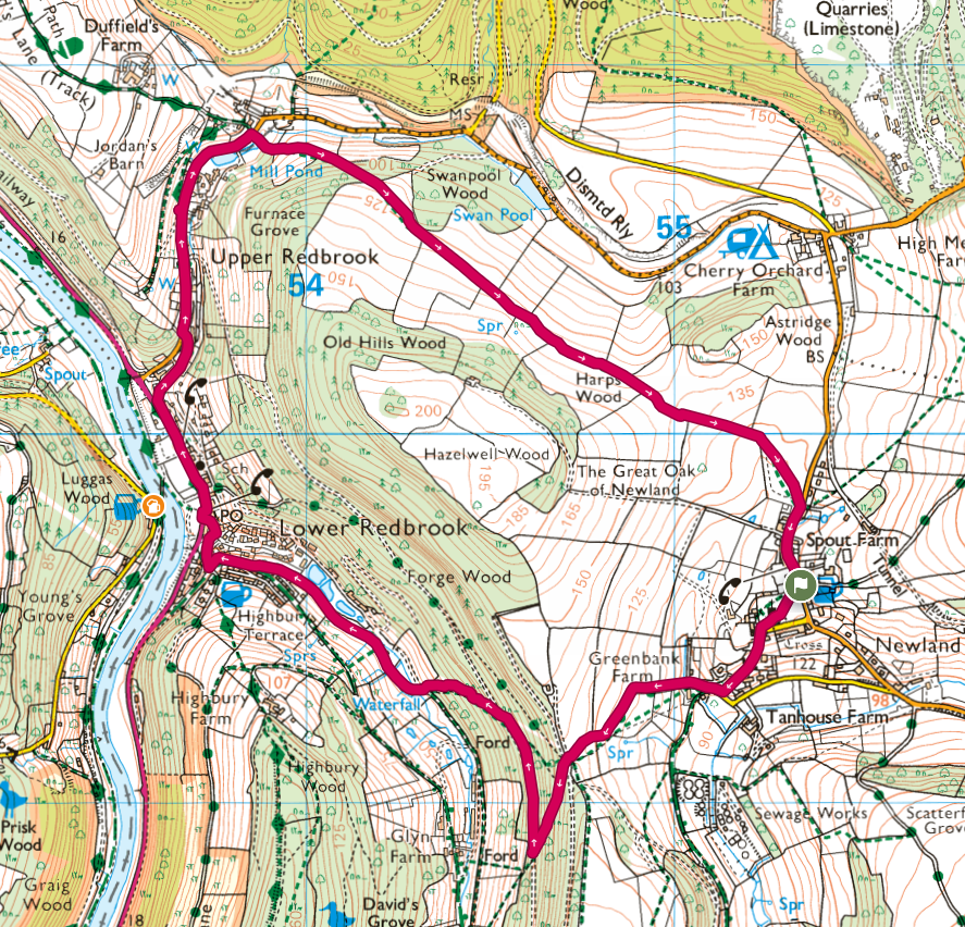
Another visit to Monmouth lead to a wander around the area for Taff, Deb, John, Panos and myself. Parking at The Ostrich Inn, a clockwise loop, heading around a hill and taking in the villages of Newland, Lower Redbrook and Upper Redbrook. This route passes very close to the southern part of the Monmouth River Walk.


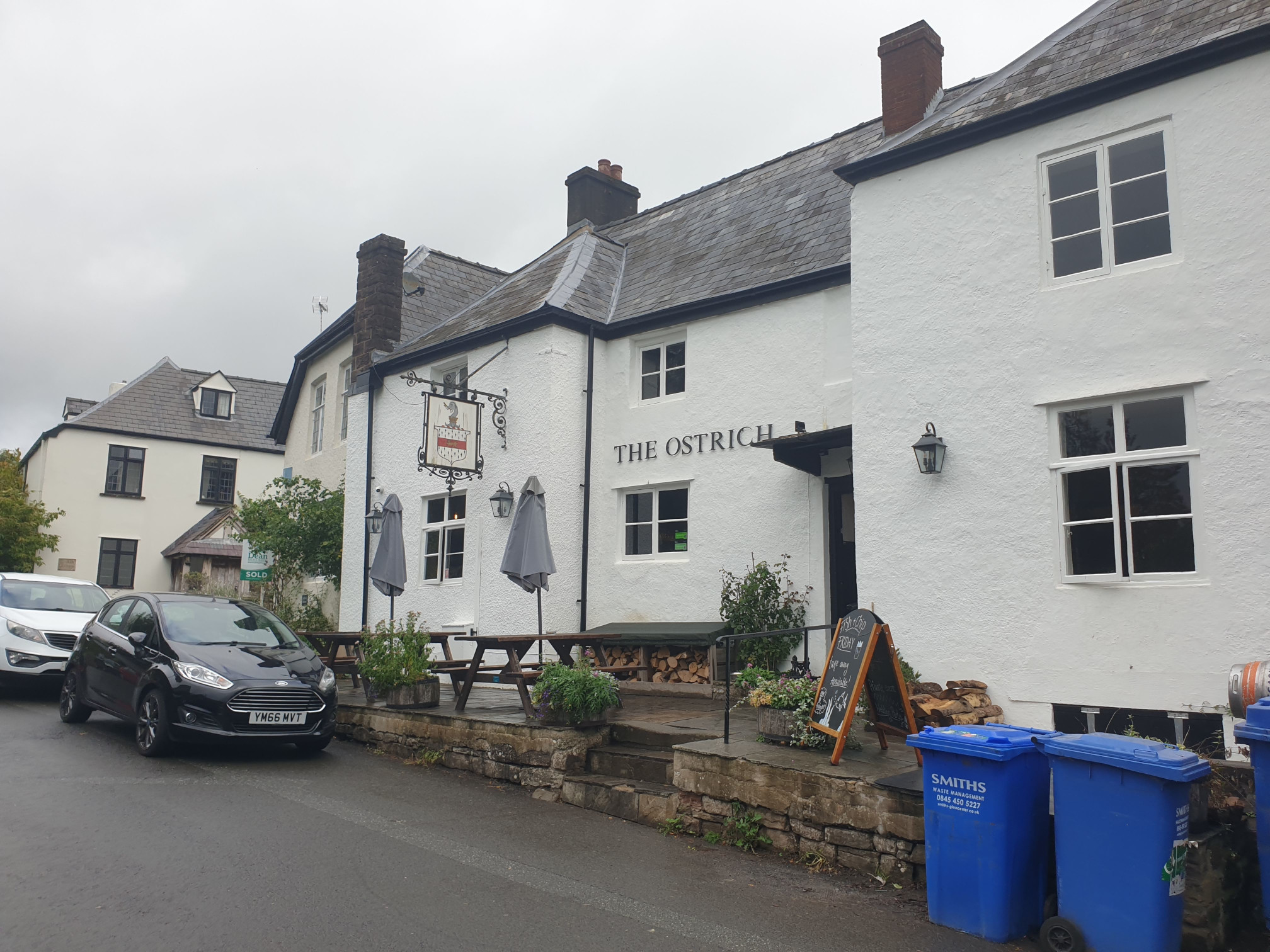
Here, outside The Ostrich Inn, the roads can be a bit narrow so parking can be tricky. We left Tiggy parked on Almshouses Road, just around the side of the churchyard.
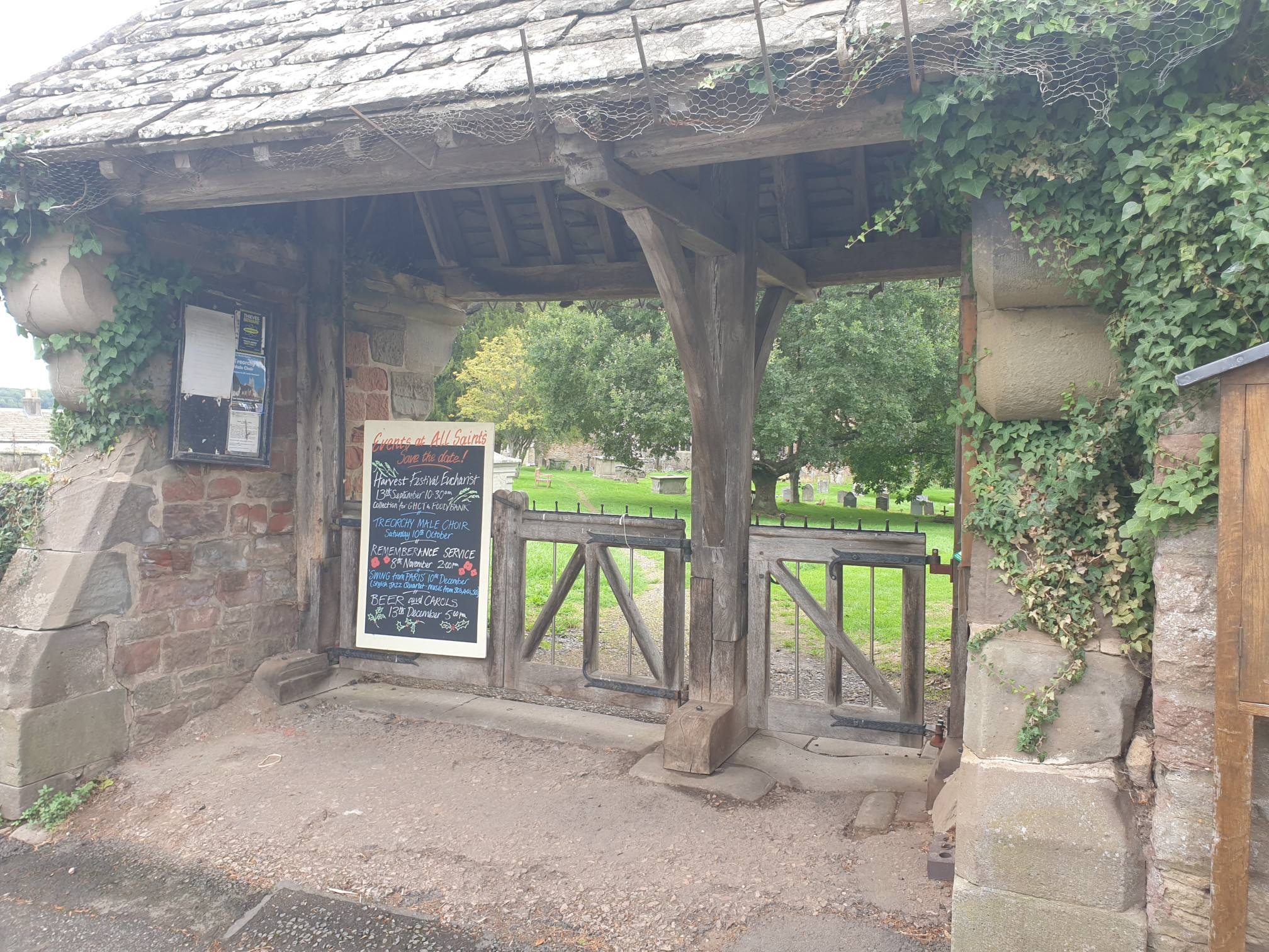
Across the road from The Ostrick Inn is the start of the hike, the gates to All Saint Church.
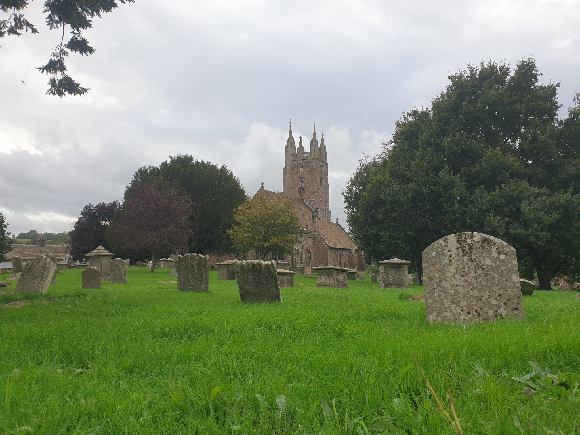
Head through the gate and the churchyard passing by the church.
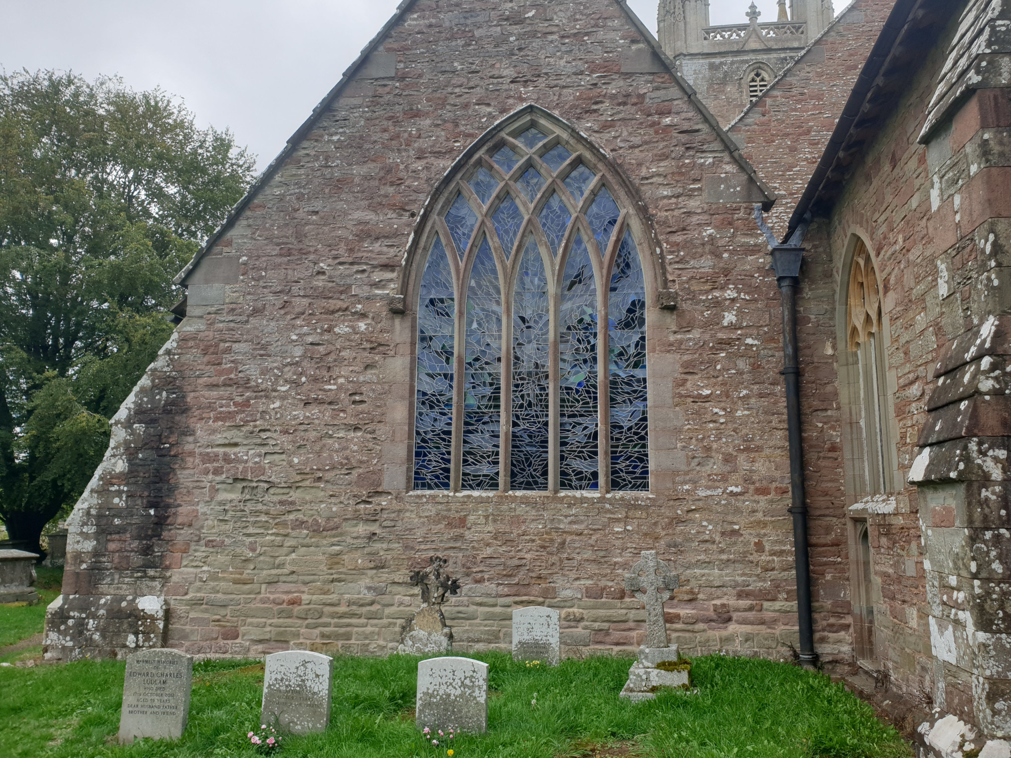
Here, a stained glass window from the outside…
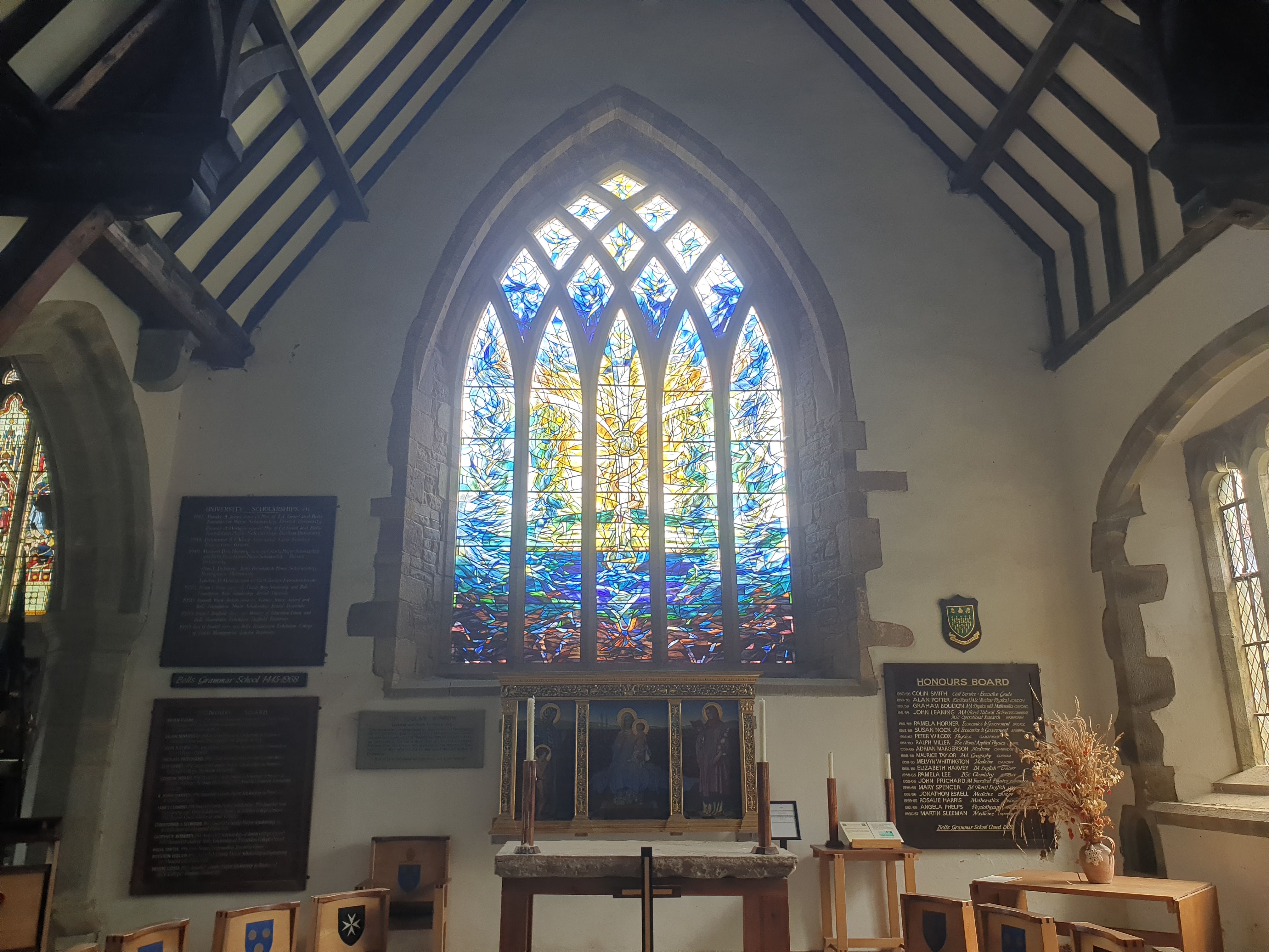
…and from the inside.
After taking in the view of the church its time to head out of the churchyard at the junction of Almshouses Road and Savage Hill. The aptly named Savage Hill, a quite steep downhill which leads to a T junction with Laundry Lane, take the right hand route down Laundry Lane, heading west.
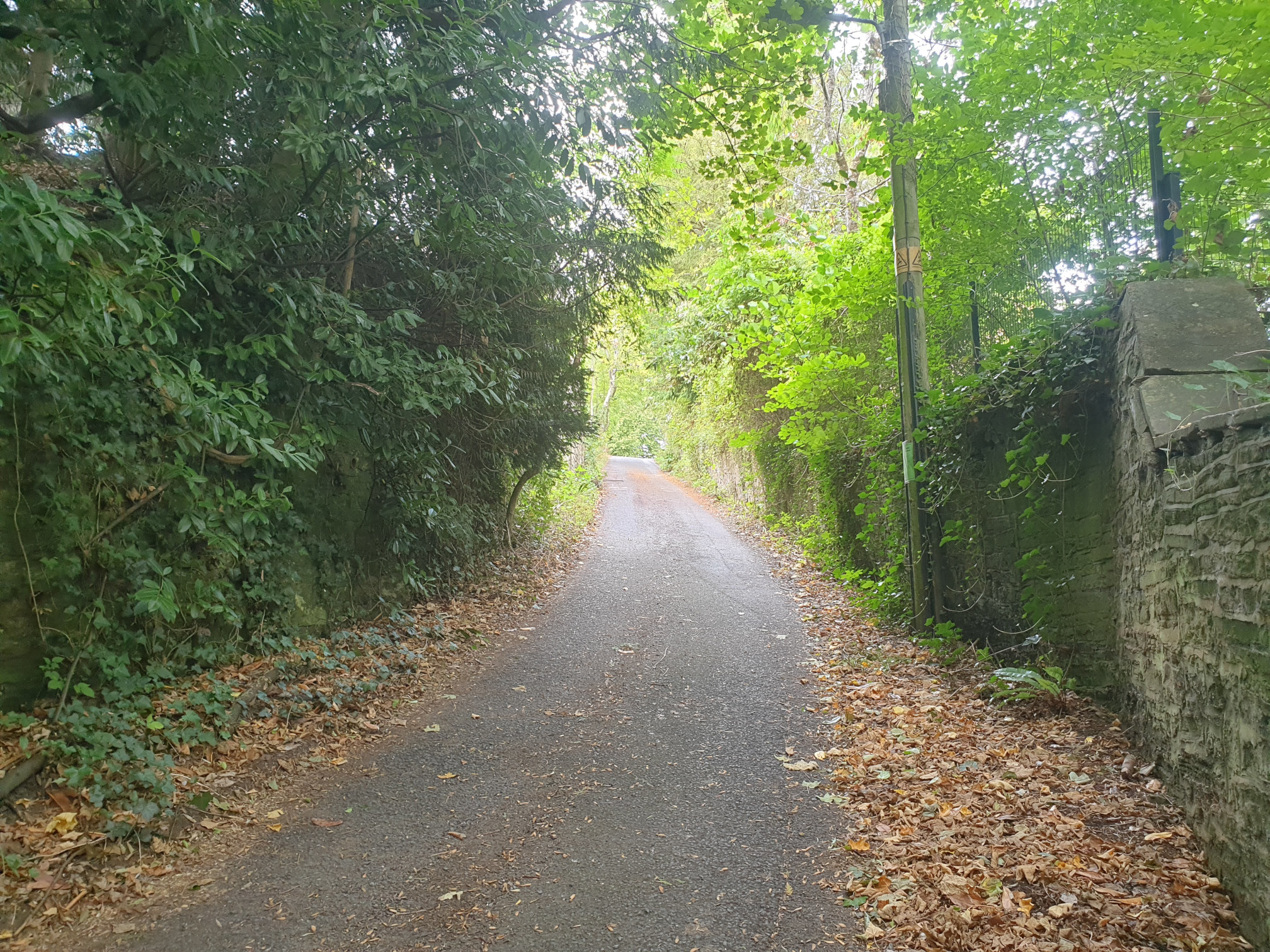
Then its time to continue along Laundry Lane, this time uphill, a stone track with hedges either side which can be a bit muddy in parts.
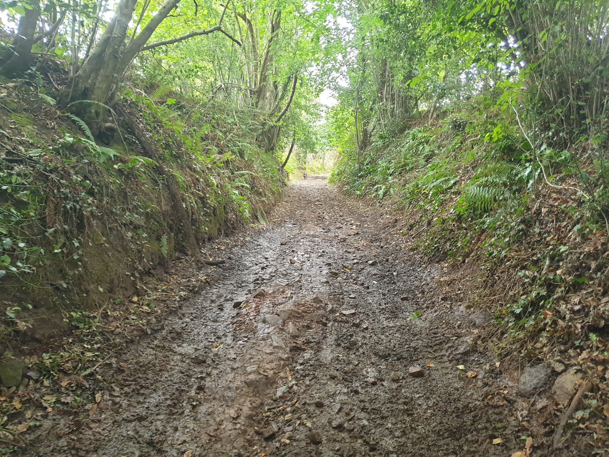
Keep following the track uphill, past Greenhbank Farm on the right up to the woods. The track ends at a clearing on the edge of the woods and and we head down a footpath, south west into the wood. Here is the footpath sign, a little diffcult to spot.
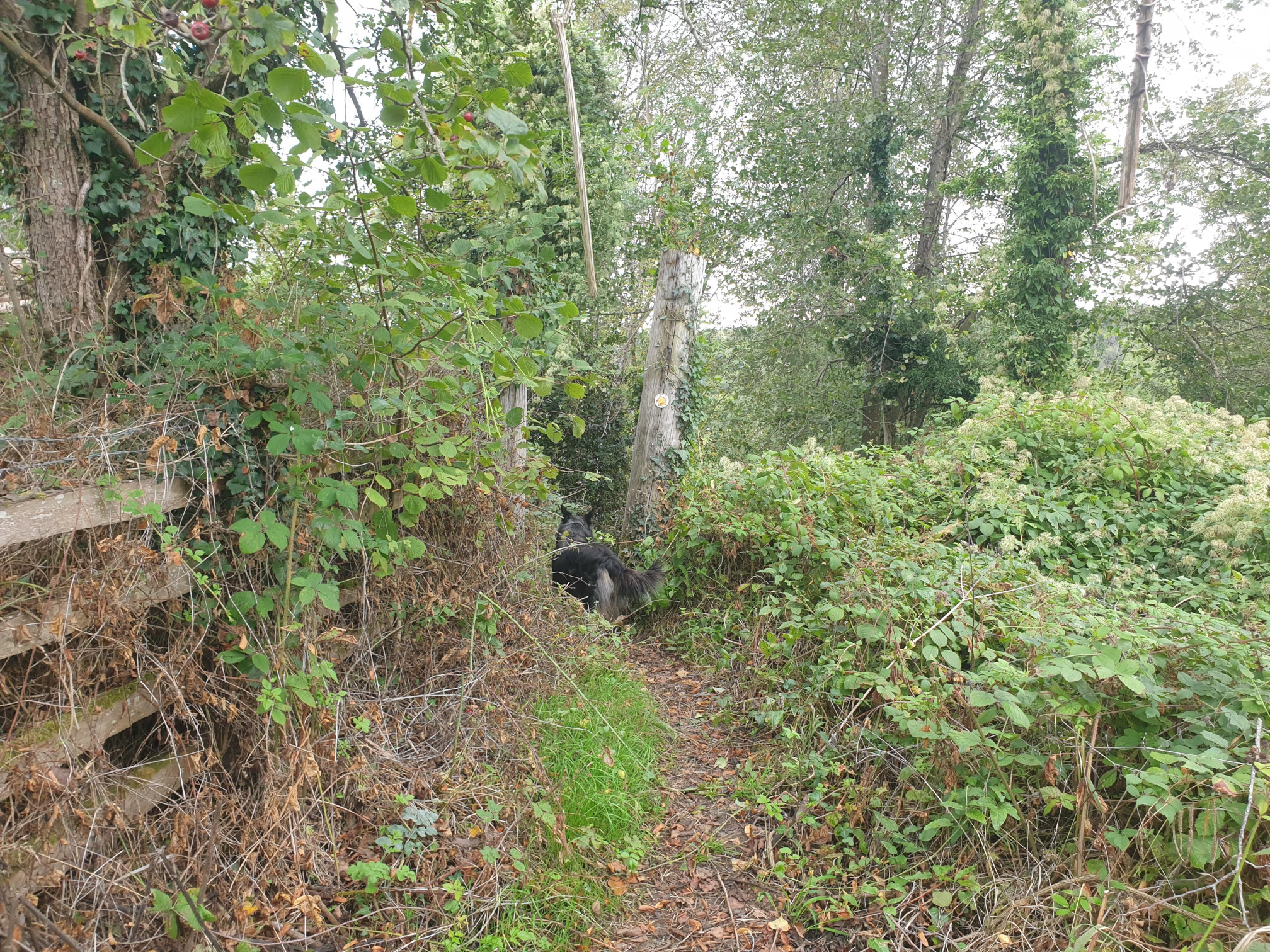
The original route was to then follow a steep, downhill, footpath north west but we couldn’t see anything safely heading downhill and it was noted on the OS Maps App as overgrown. So we carried along the easier footpath and through the woods until we got to the easier to navigate grassy track.
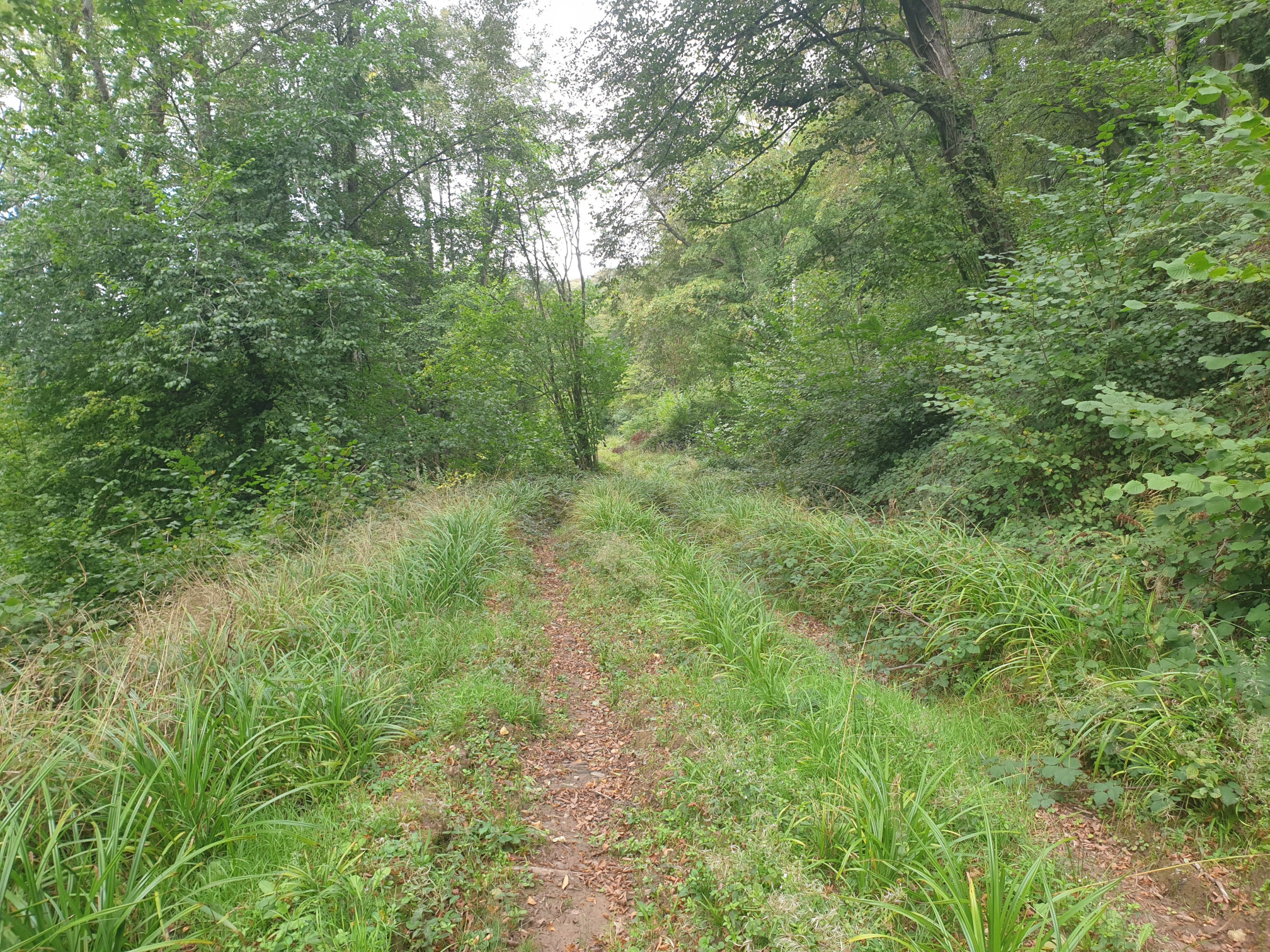
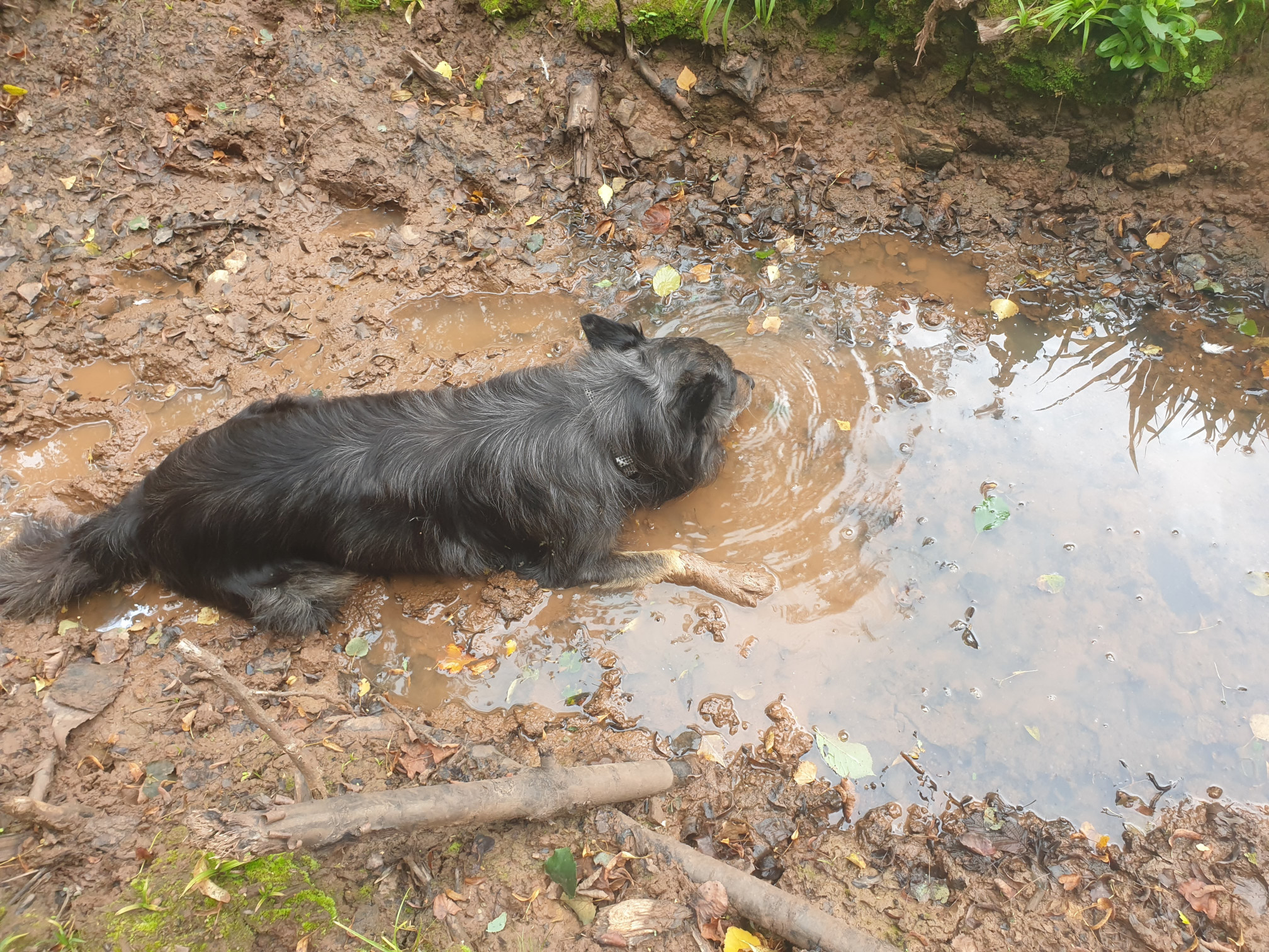
Follow the track north for a short distance. As Taff demonstrated, the path can be a little waterlogged…
Keep following the track and on the left is the footpath to take on the left, heading dwnhill, with the wooden steps just visible here. On the right hand side of the track is supposedly the footpath we originally planned to take but it was very overgrown.
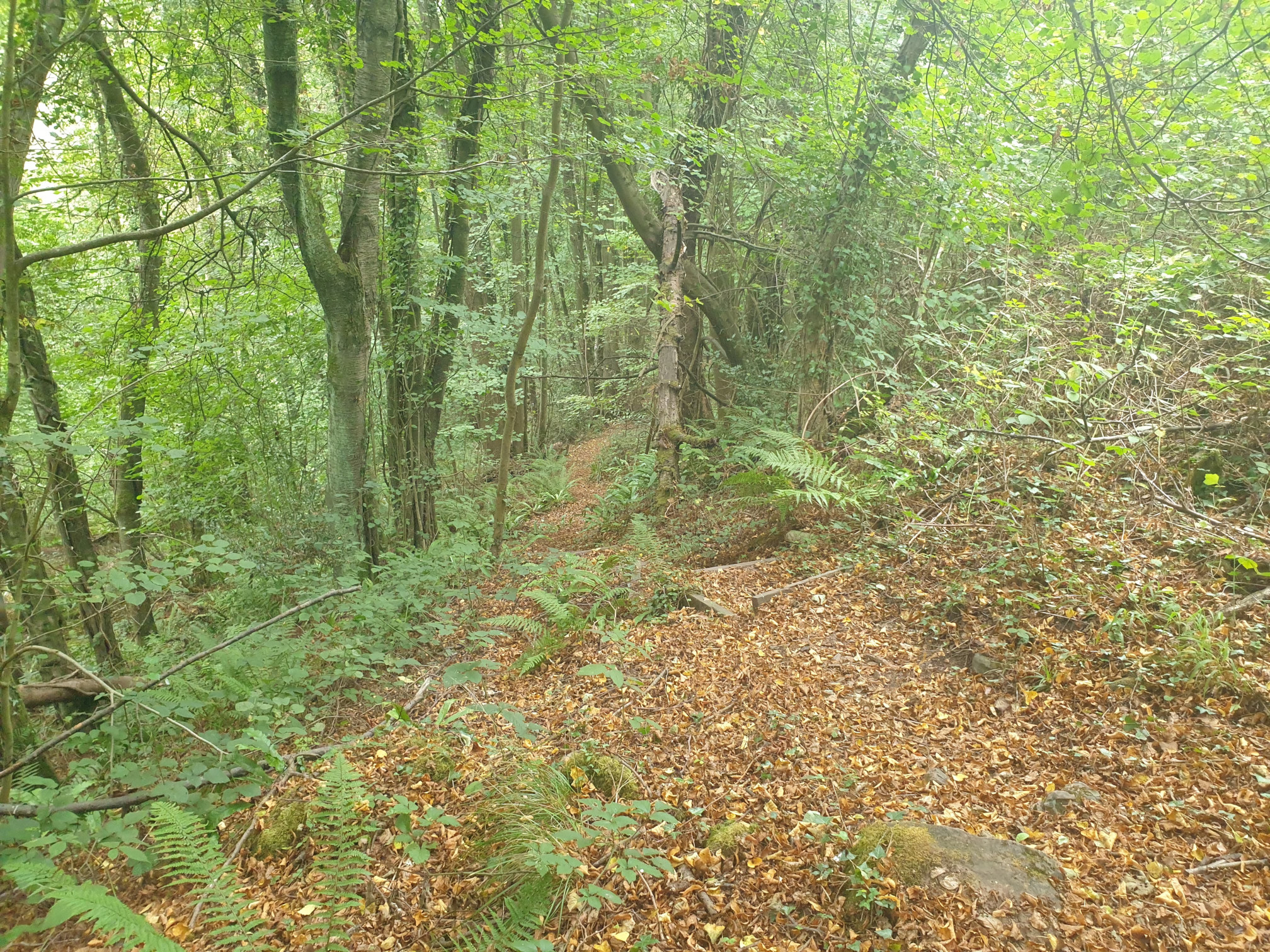
The path heads steadily downhill, through Forge Wood.
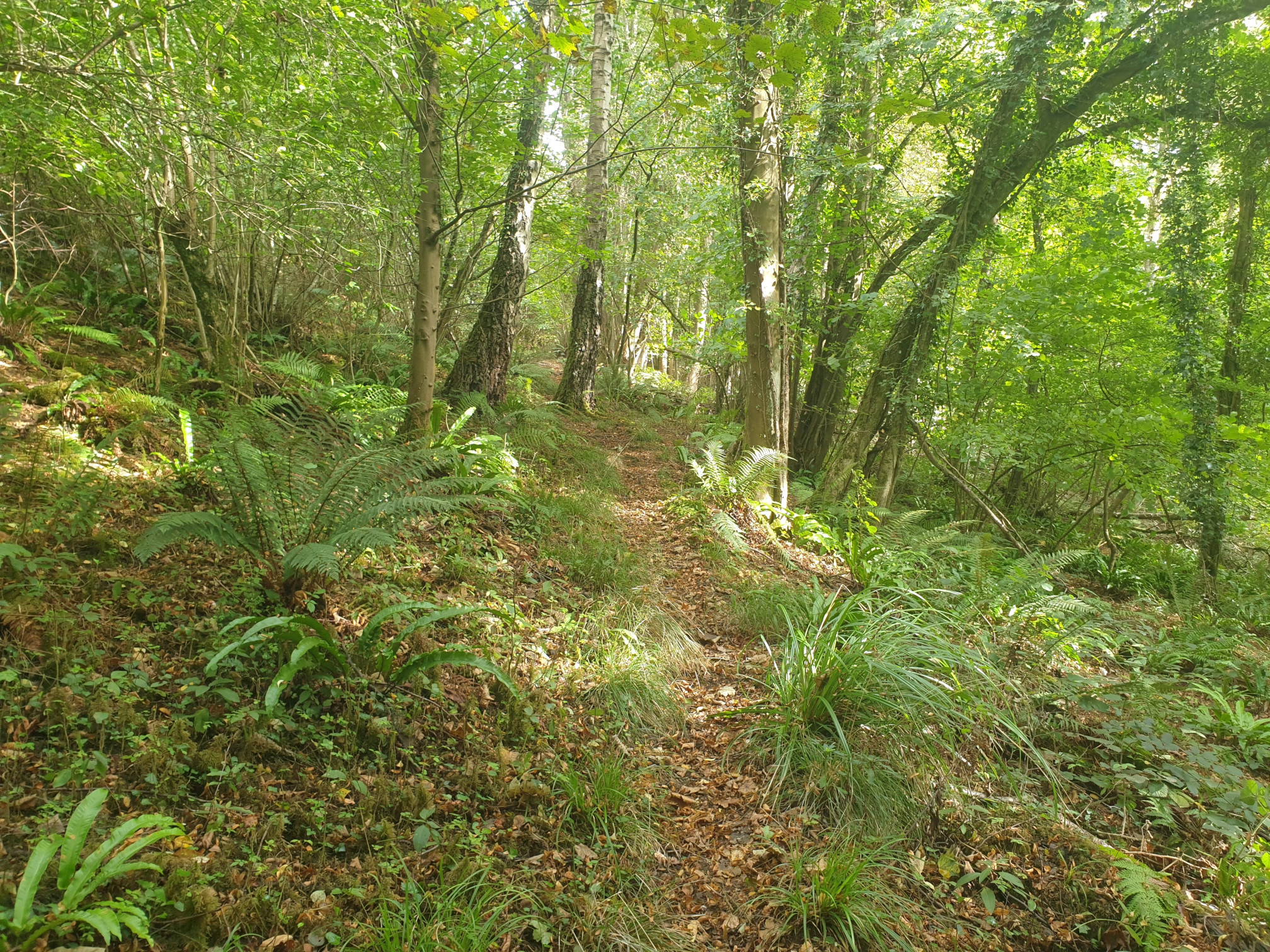
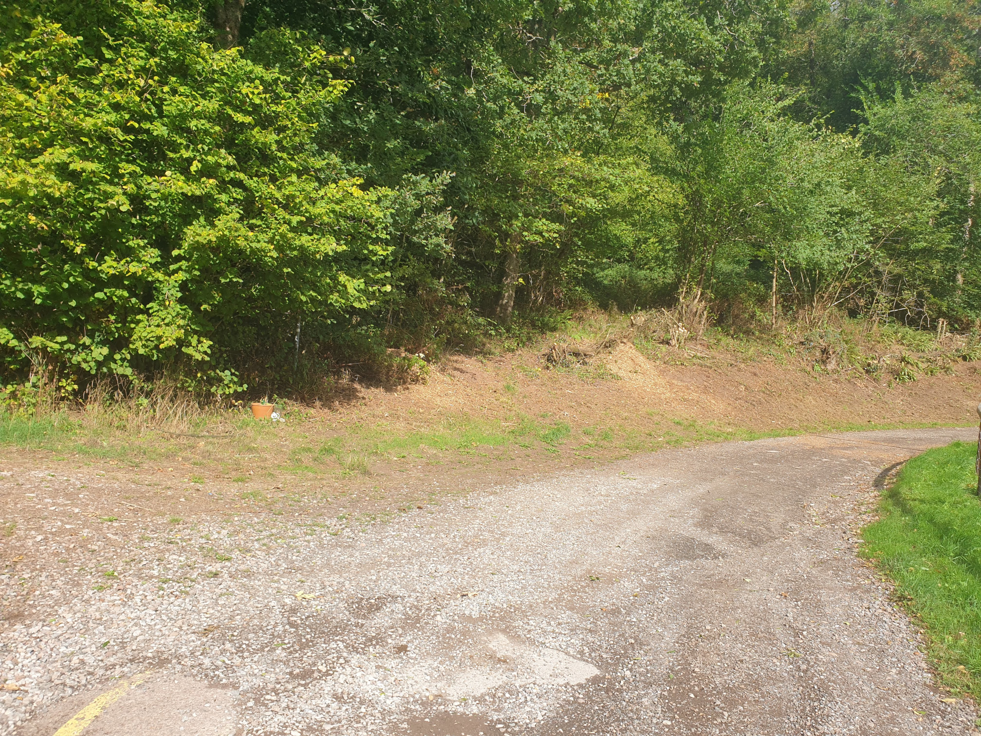
Eventaully, at the bottom of the hill, the path exits the woods at this junction with a tarmac road.
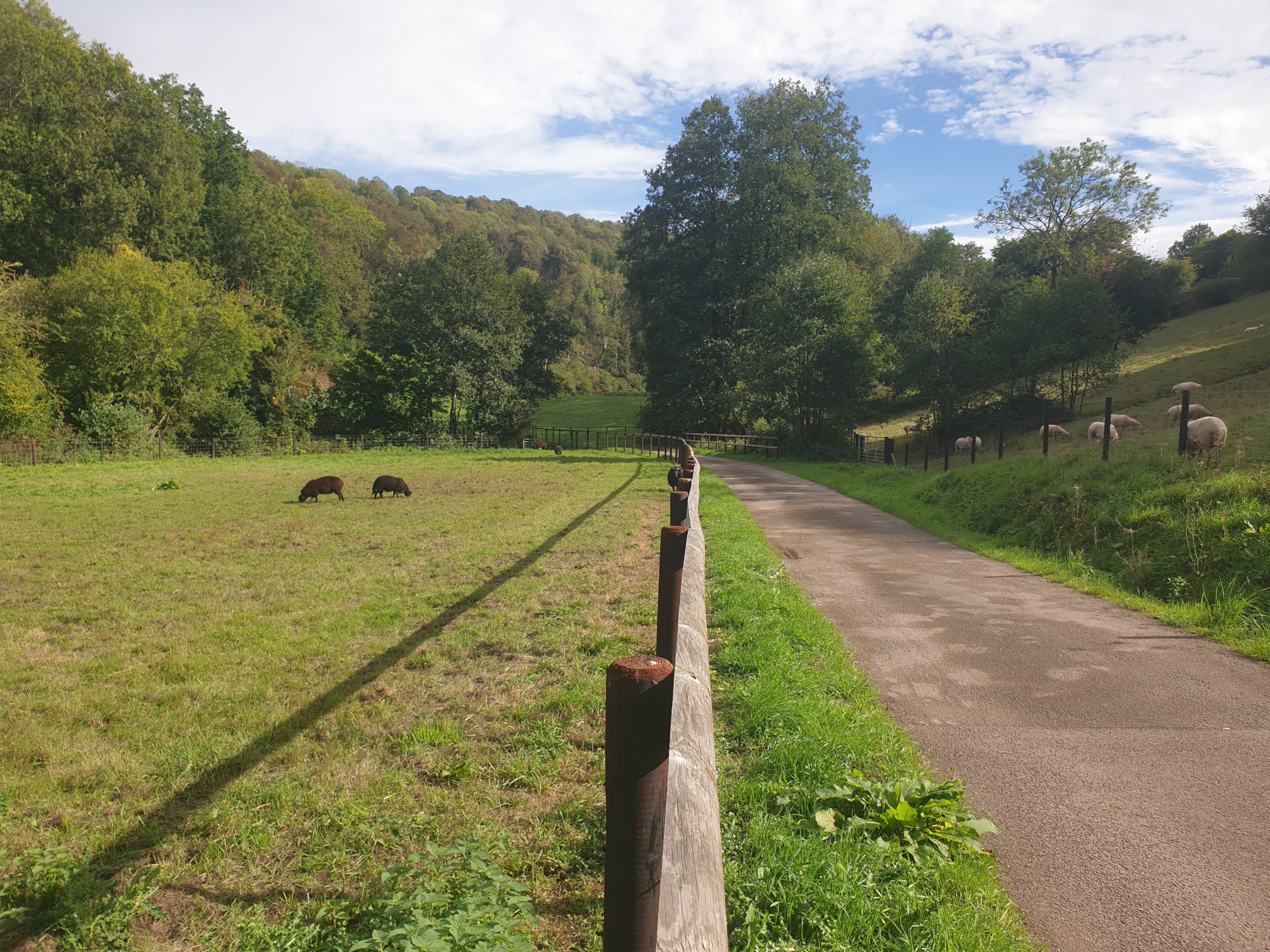
Follow the tarmac road north west, towards Lower Redbrook, between the fields and past some ponds on the right.
At a point the road turns 90 degrees sharp left, and on the right are these steps downhill, take these steps, now heading north into Lower Redbrook.
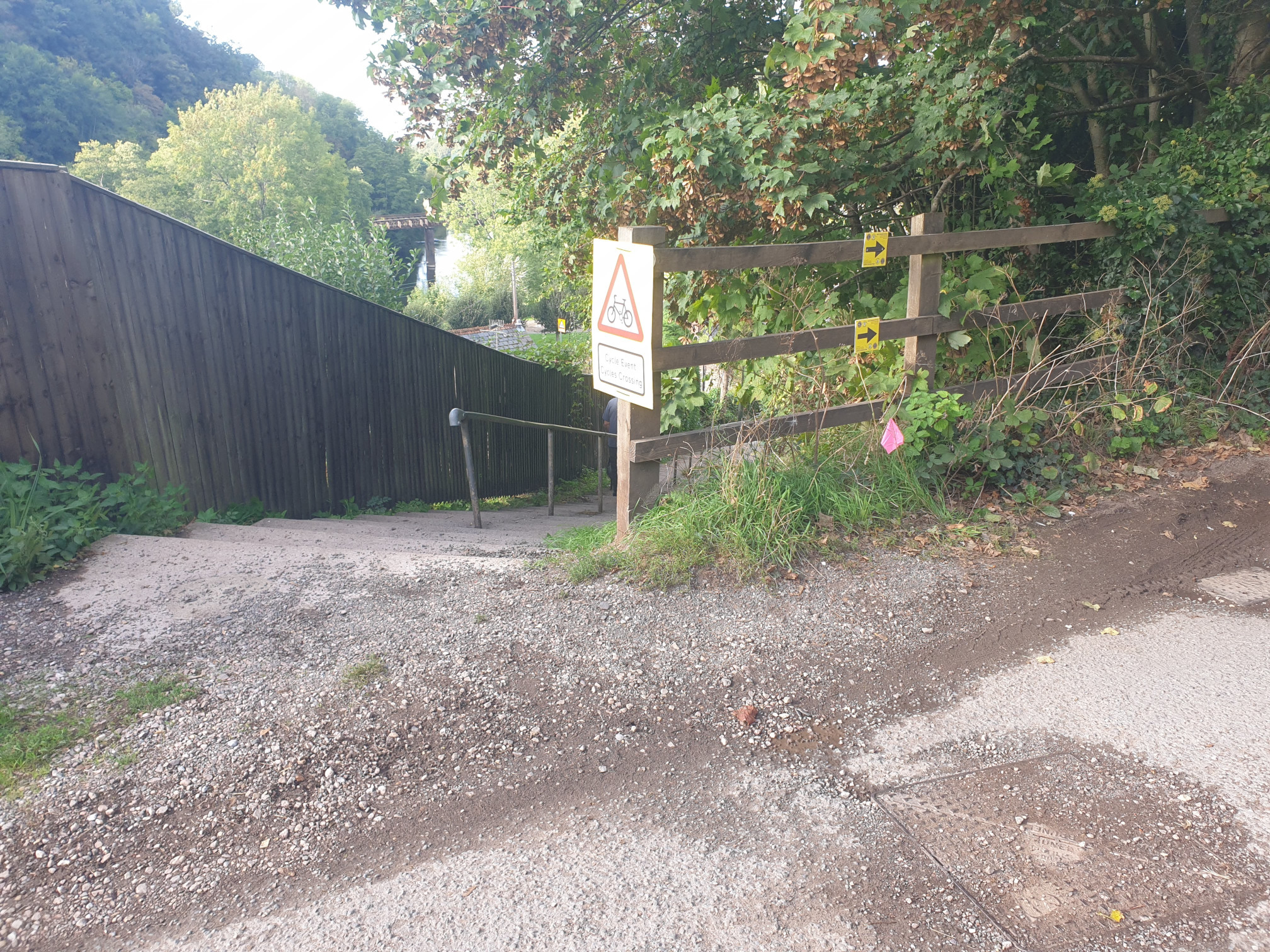
Looking back up the steps, which are part of the Offa’s Dyke Path.
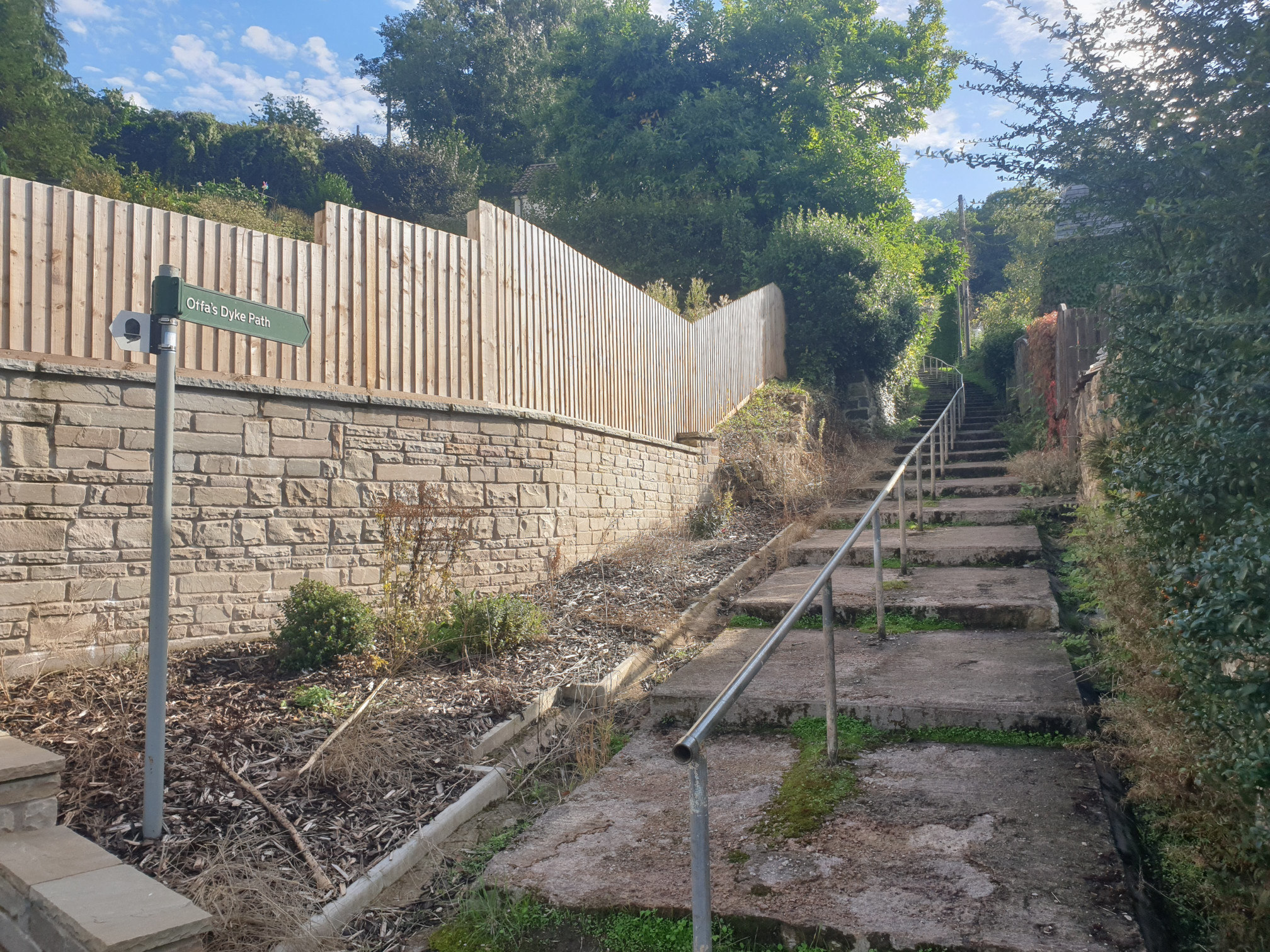
You now find yourself in Lower Redbrook by the side of the main road, the A466. Follow the A466 north for a very short distance. At Redbrook Village Stores take the signle track road running parrallel to the road but a little uphill, right in front of the village store.
Follow the road for a short distance where it then joins the road by the Redbrook Incline Bridge. At this point you’ve crossed from England into Wales.
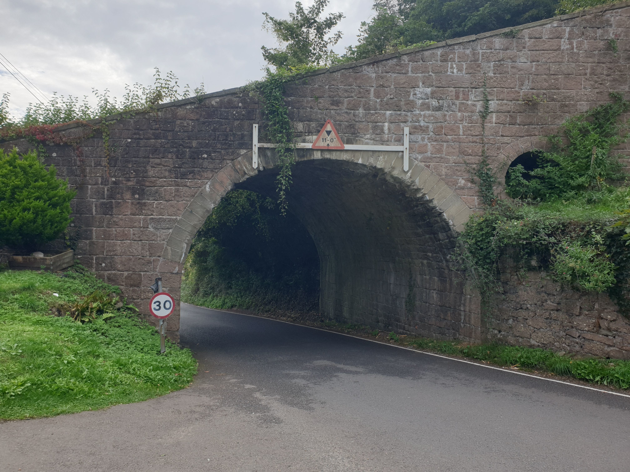
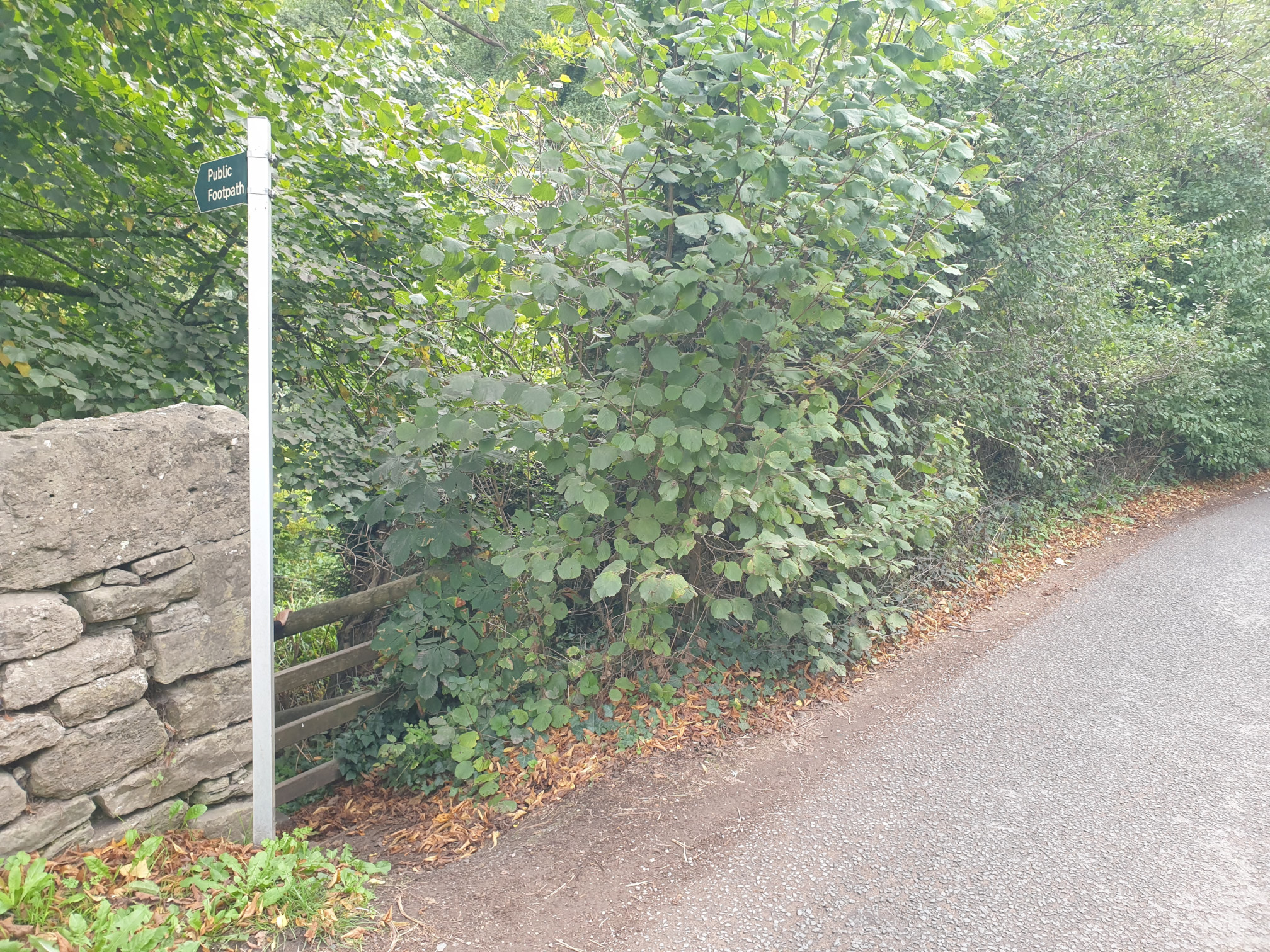
A little bit of road walking now as you follow the road north towards Upper Redbrook. Thankfully it’s a quiet road. Keep along the road until you pass the Mill Pond on the right hand side where you will see this footpath sign, follow the sign.
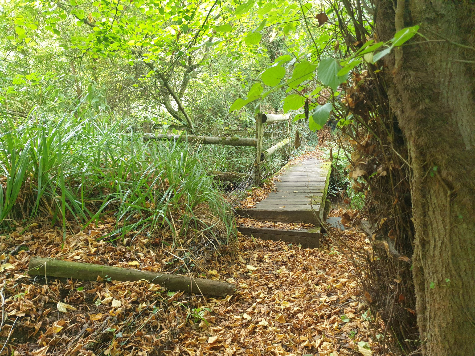
The path passes by the northern edge of Mill Pond so can be a bit marshy, hence the wooden boardwalks.
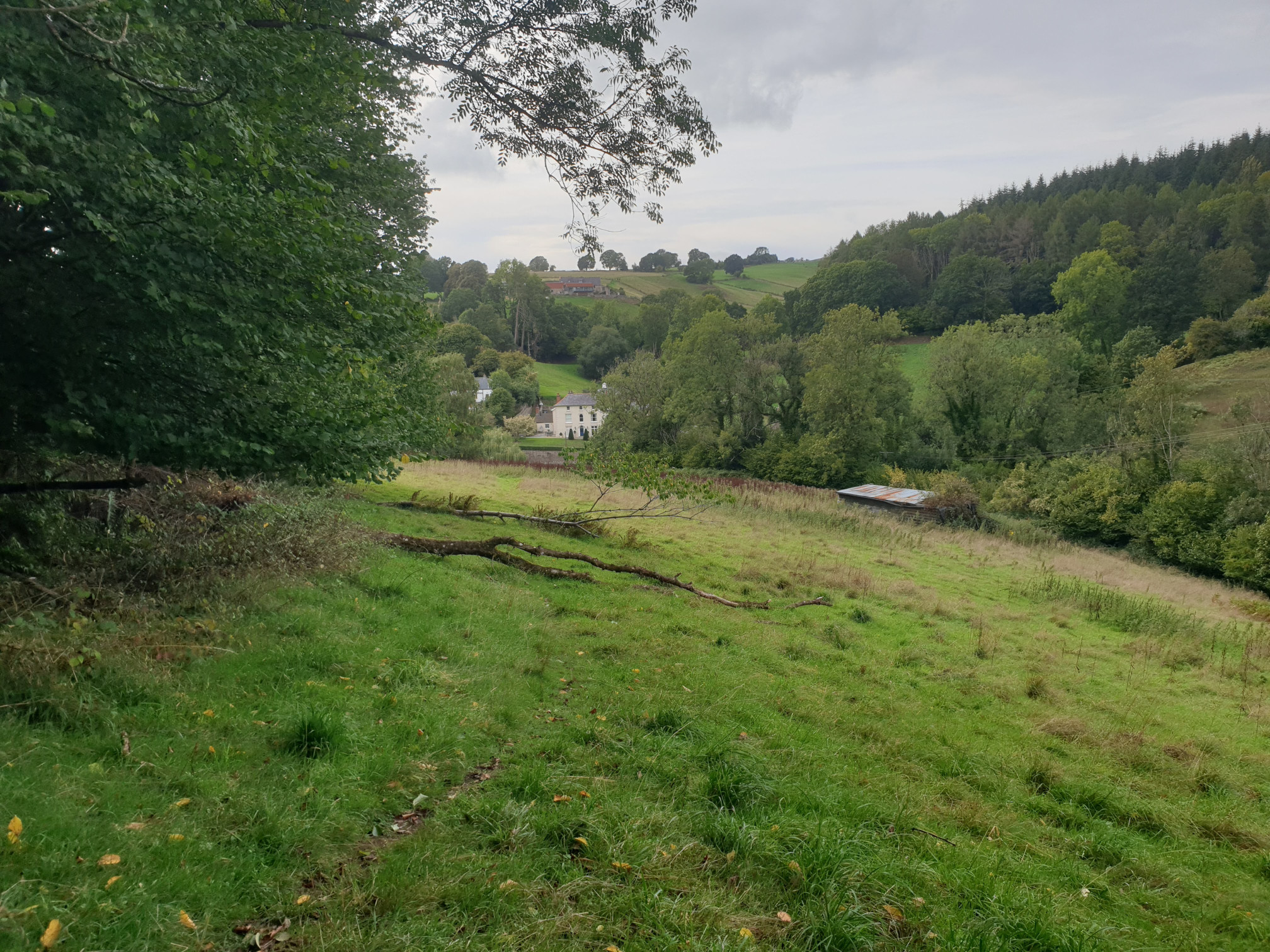
Keep following the footpath uphill, through a field towards Swanpool Wood. HEre, looking back form the hill towards a very nice house near Mill Pond.
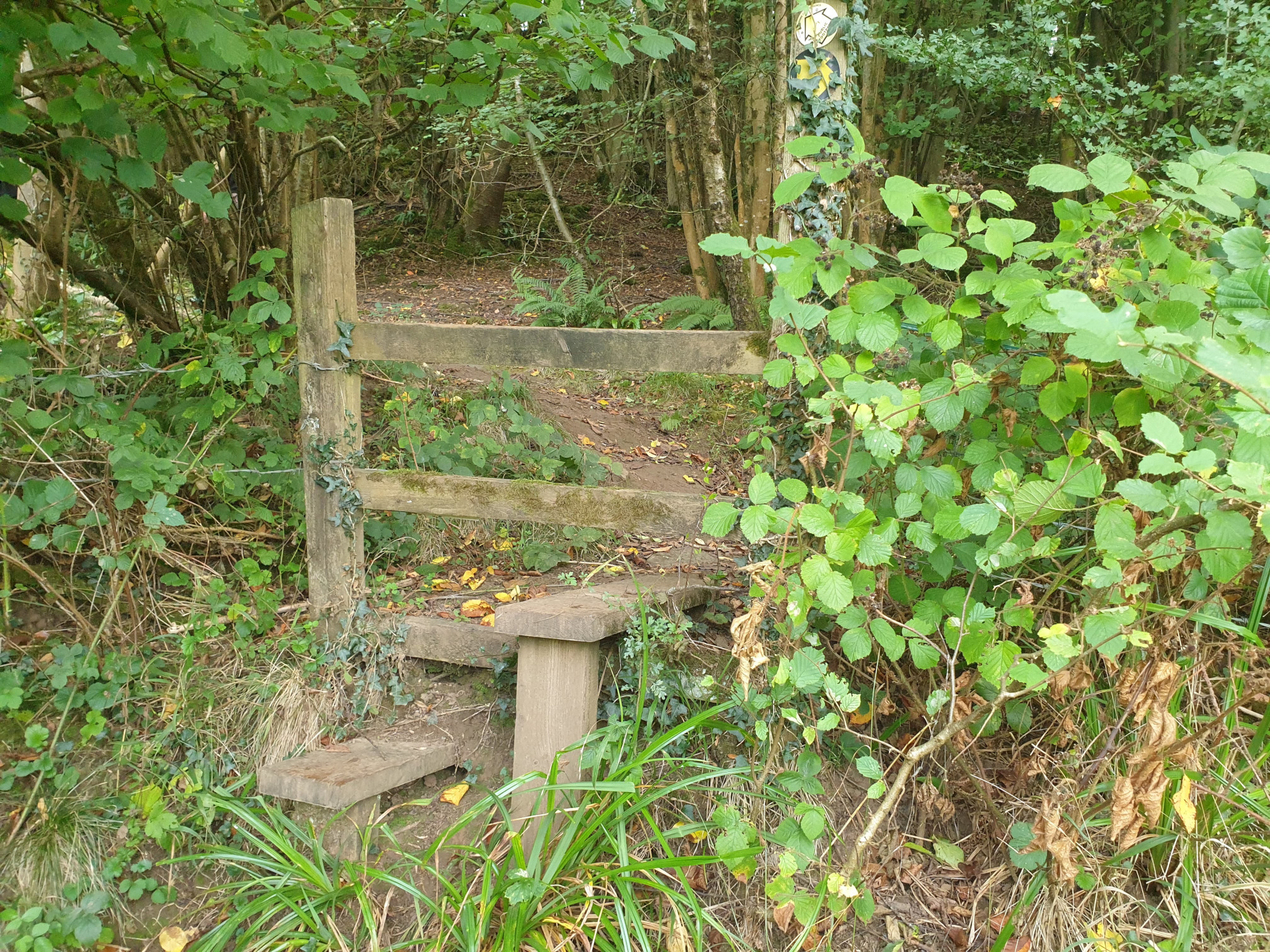
Head over this stile in the corner of the field and into Swanpool Wood.
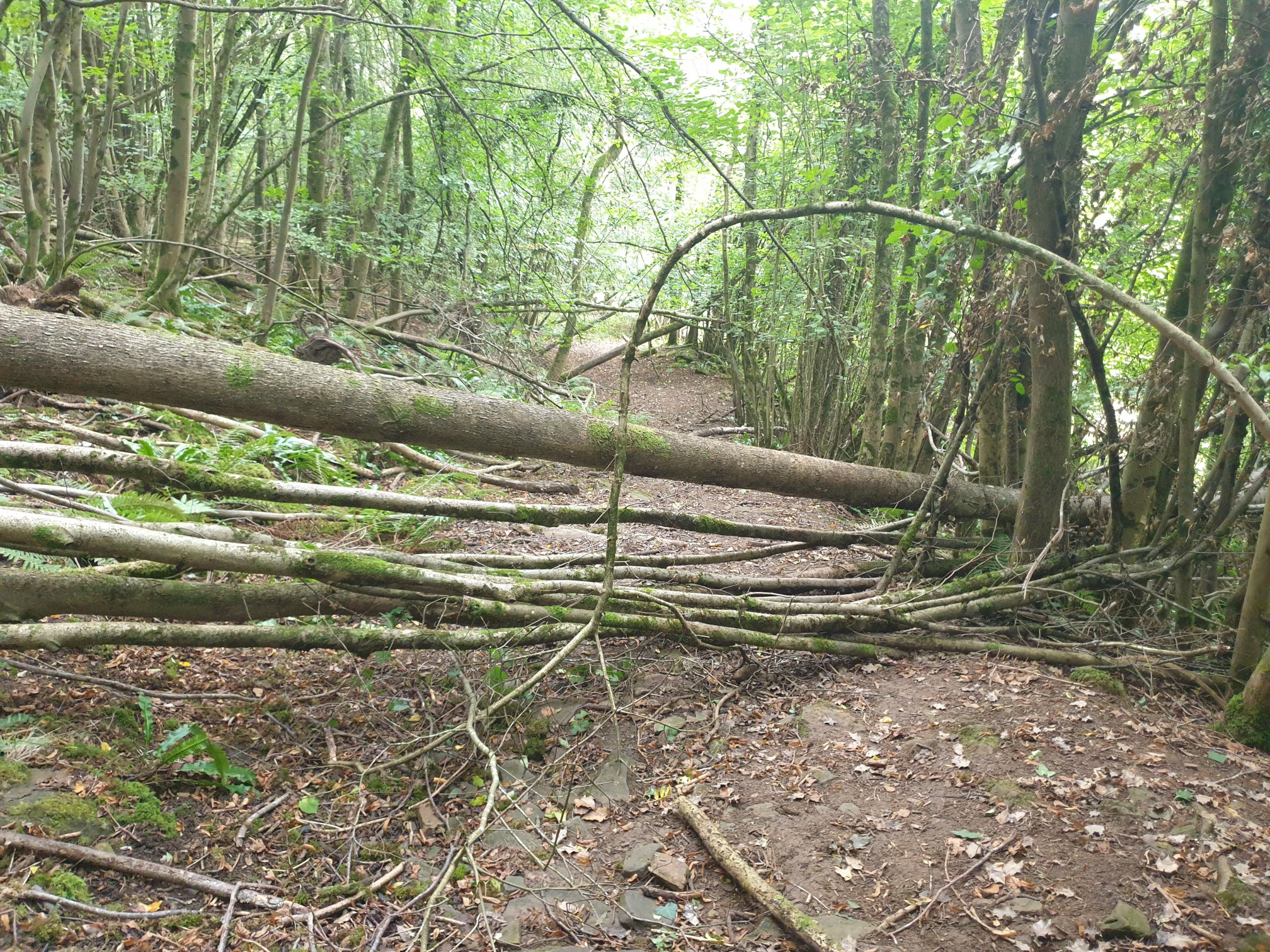
The path through the woods was a little tricky…
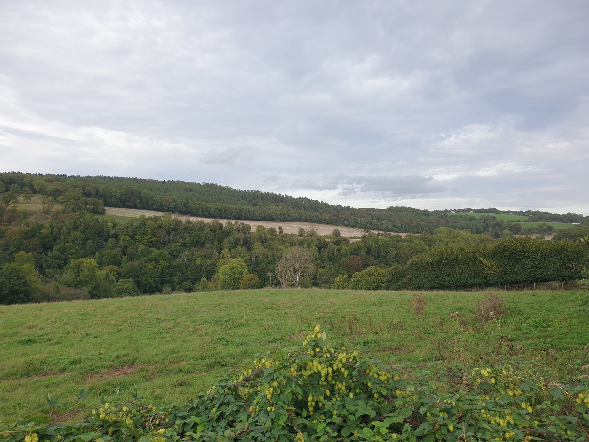
But a short path thorough the woods and through a few fields, with this view across the valley.
Keep following the path along the edge of the fields.
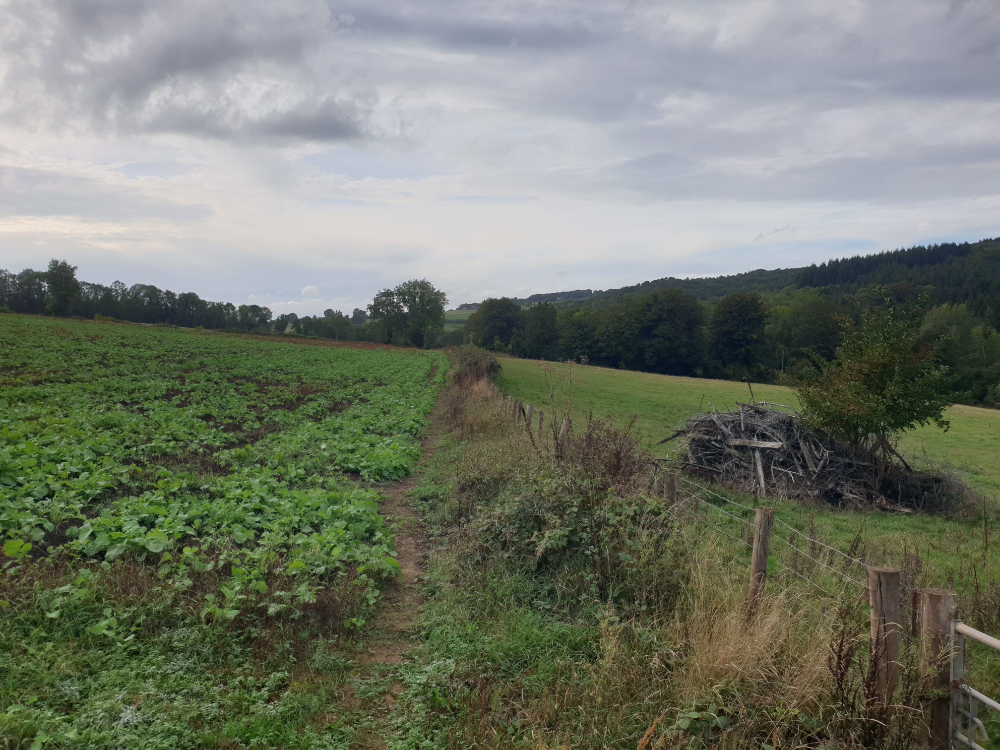
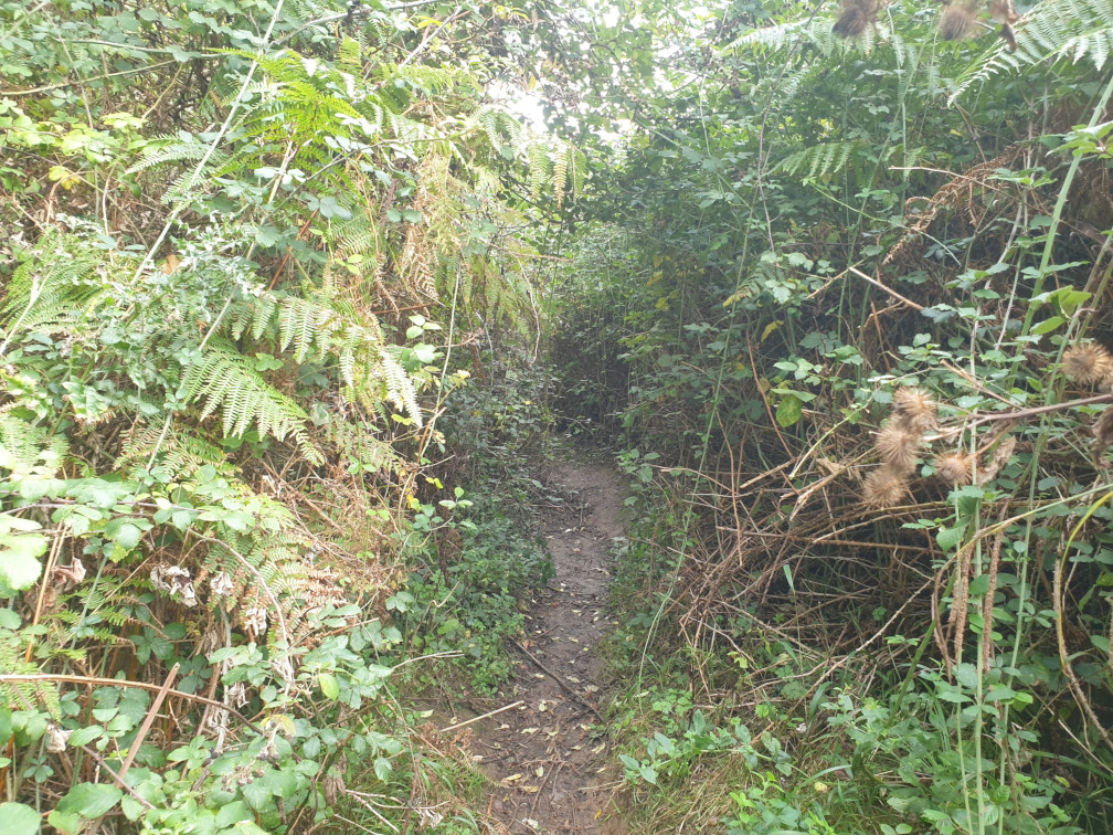
After crossing three fields the path does get a little overgrown for a short distance, it’s not really shown on the map but it does exist.
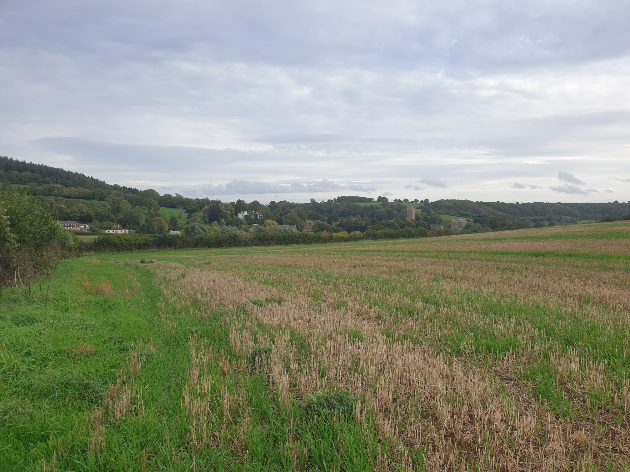
Through a few more fields, then Newland, and the church where the walk started, appears in the distance.
The path then joins the road to Newland, folow the road south, back to The Ostrich Inn.