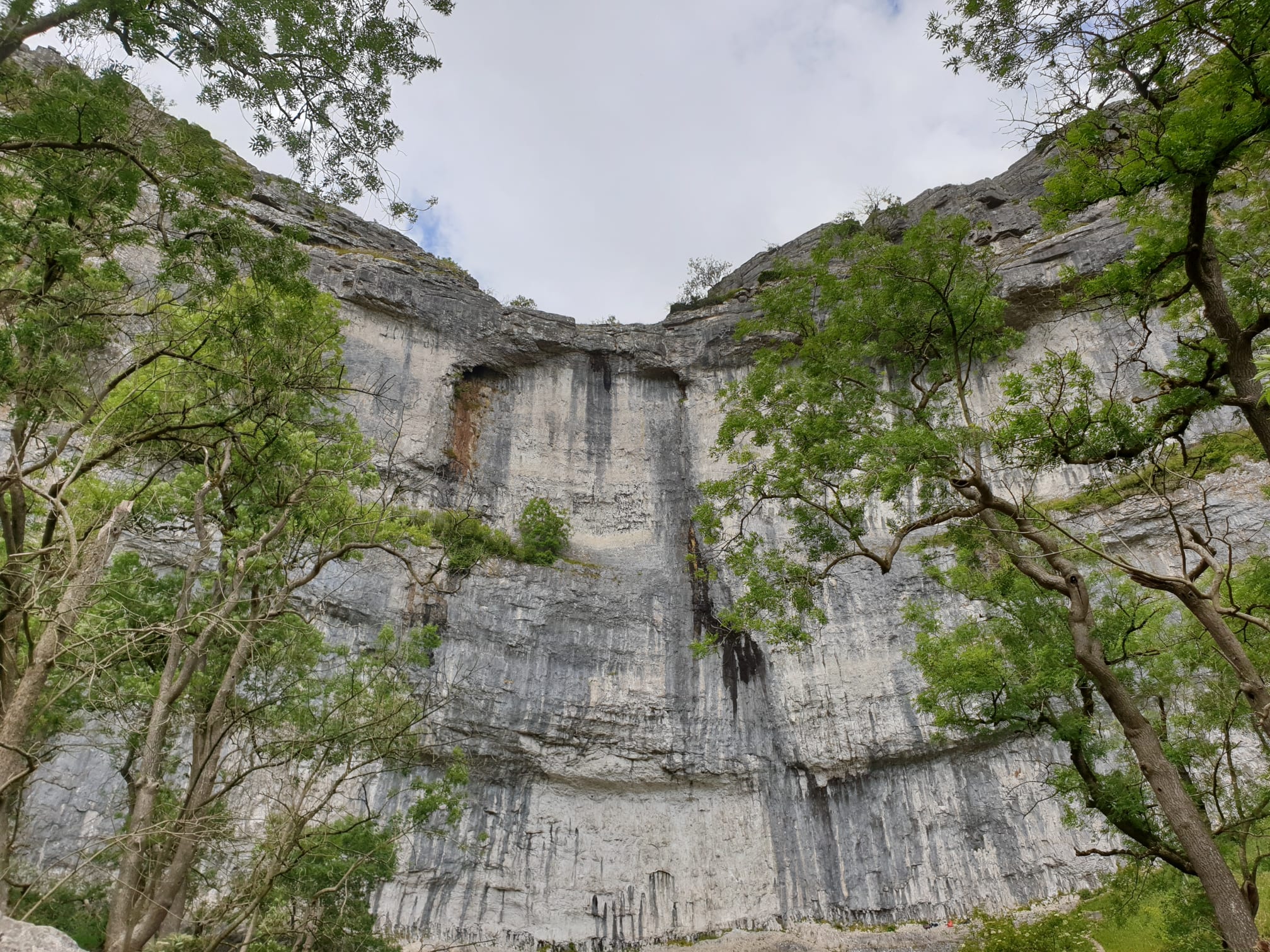
Malham Cove is a 70 metre (230ft) high, gently curving cliff of white limestone has amazed visitors for centuries. Formed along the line of the Middle Craven Fault, it has been eroded backwards from the line of the fault by the action of water and ice over millions of years.
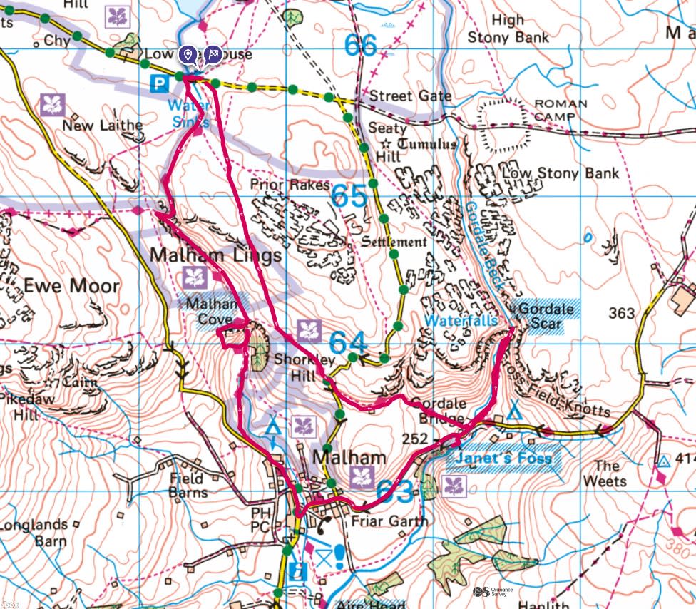
Parking at Watersinks Car Park a short hike away from Malham Cove. The route is an anti-clockwise loop whcih starts as a bit of a scrambley gravel path to Malham Cove, then a more smoothe path and roads to Janets Foss and Gordale Scar. From Gordale Scar its then an uphill grassy path back over the hill to the car park.


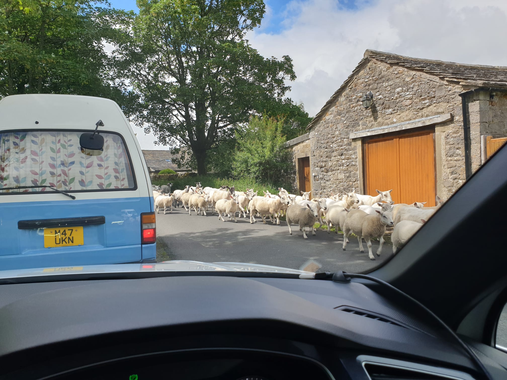
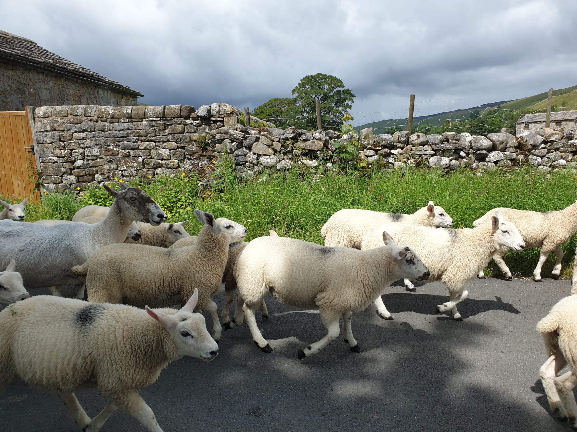
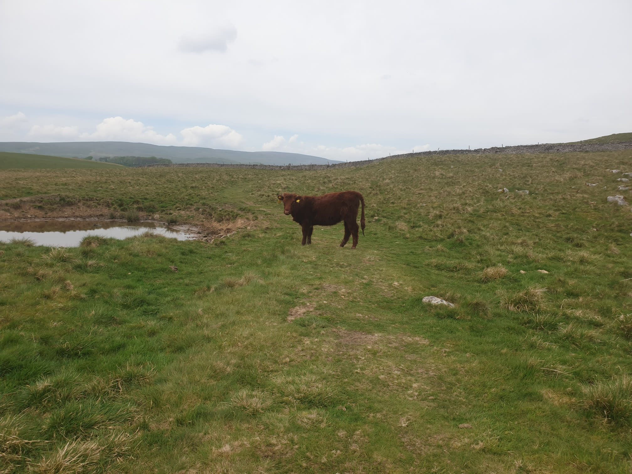
Even getting there got tricky due to sheep on the road.
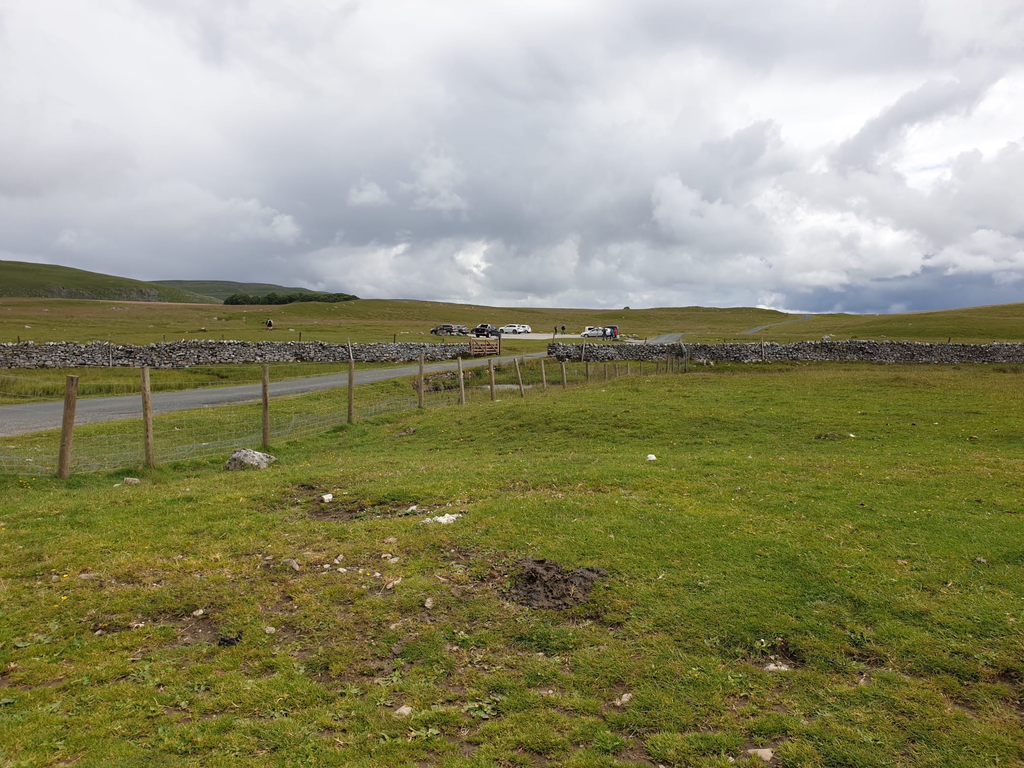
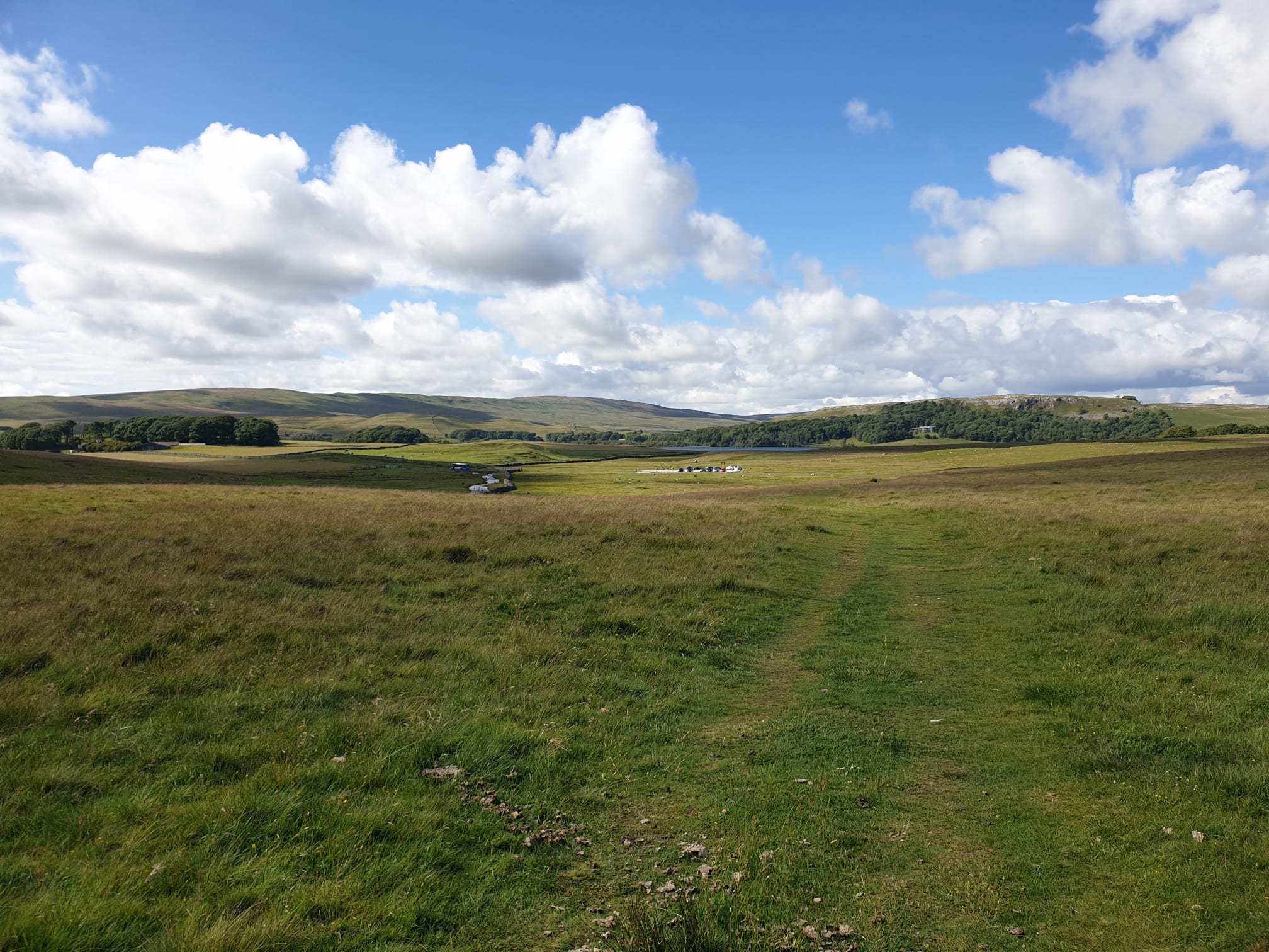
Here is the car park, a handy spot near many footpaths and Malham Tarn. This is the view looking back as we started the hike.
The path is quite stoney in places but this part is the Pennine Way so well used.
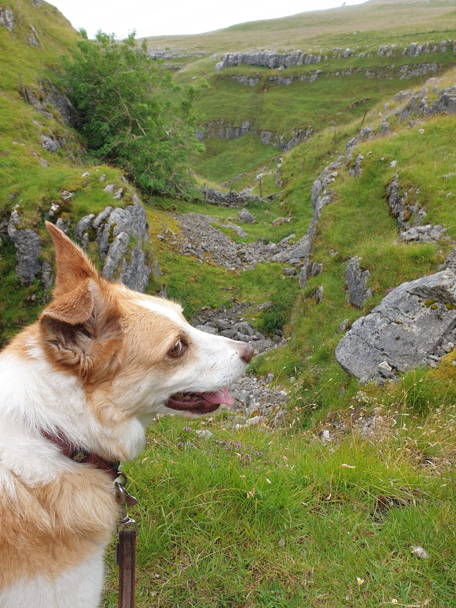
Skye wasn’t very sure on the route, or maybe she was already fed up of me taking photos.
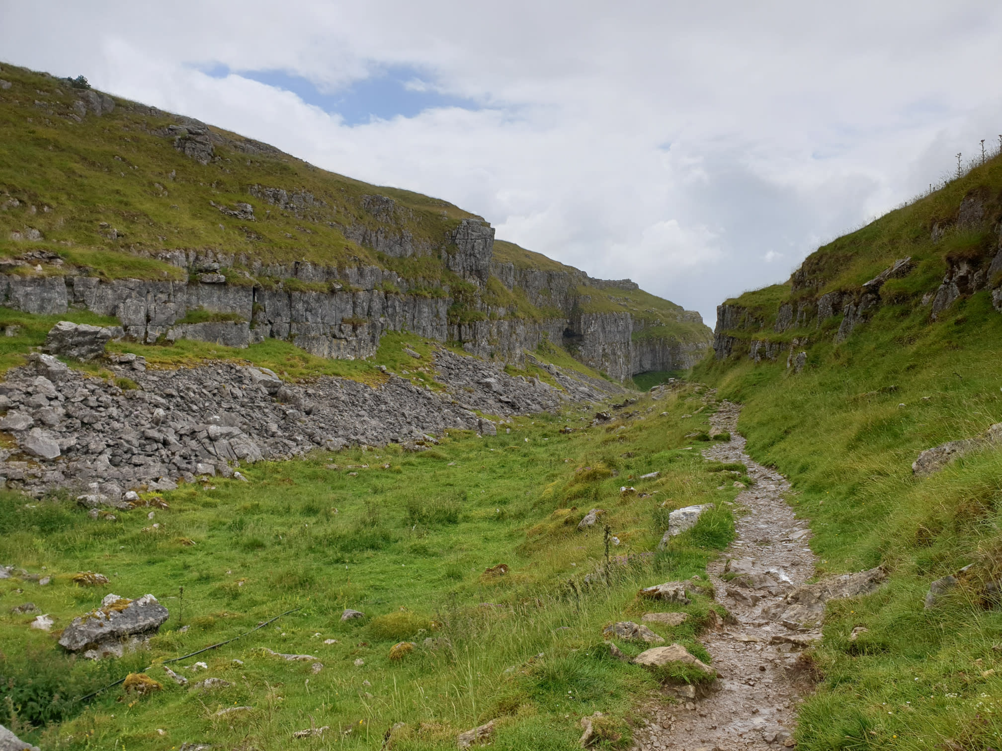
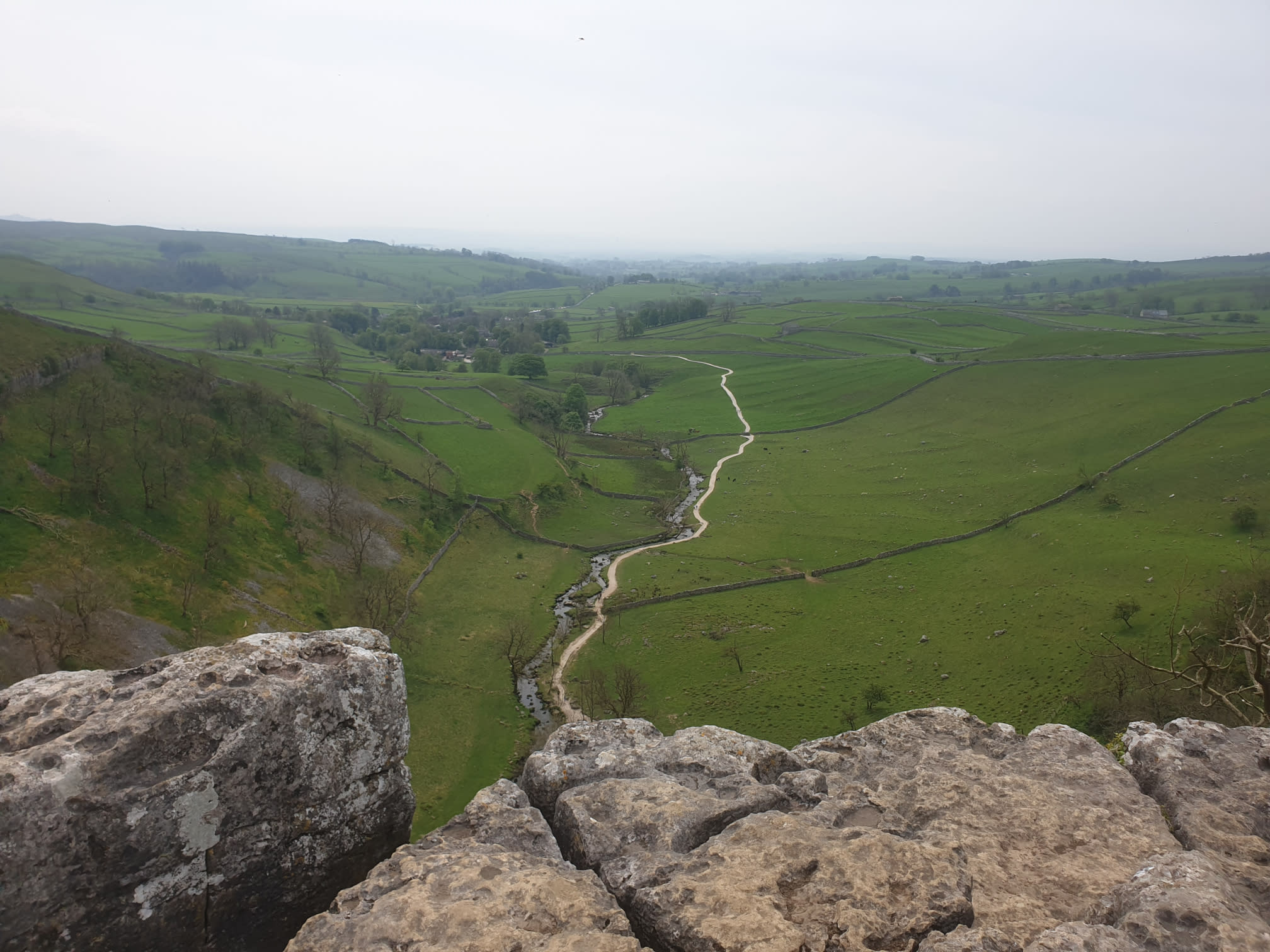
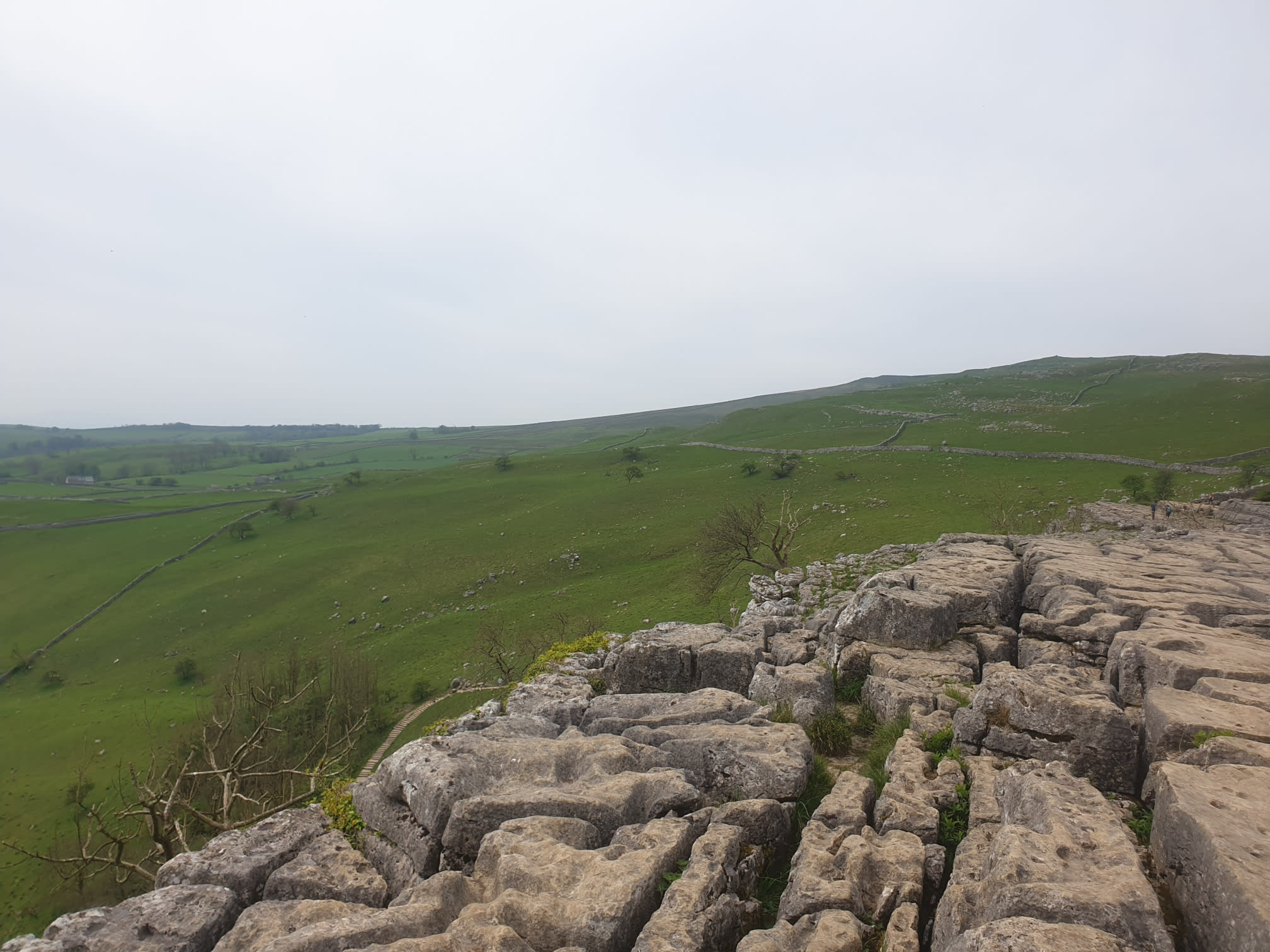
Following the Pennine Way path you get to the top of the cove with a view of the path parallel to the river we will be taking later to get to Malham. Note the drop in height.
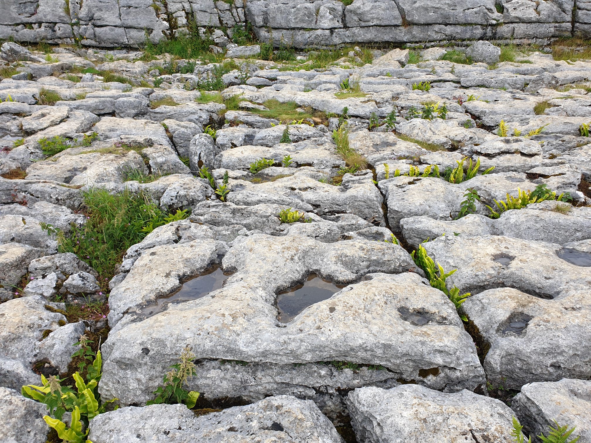
Here’s what the cove limestone looks like close up.
In this pic you can see in the bottom left quarter the stairway we are about to head down.
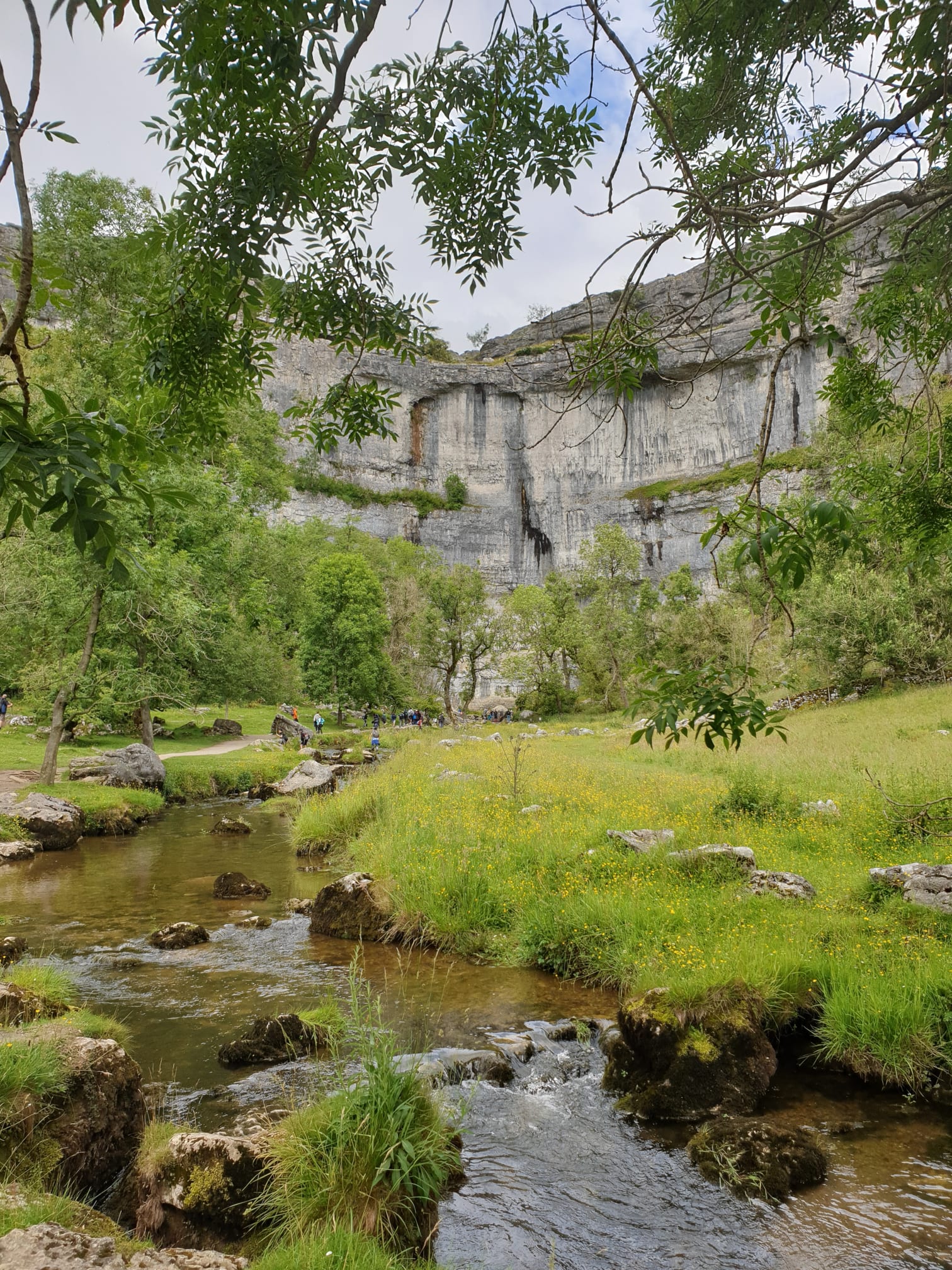
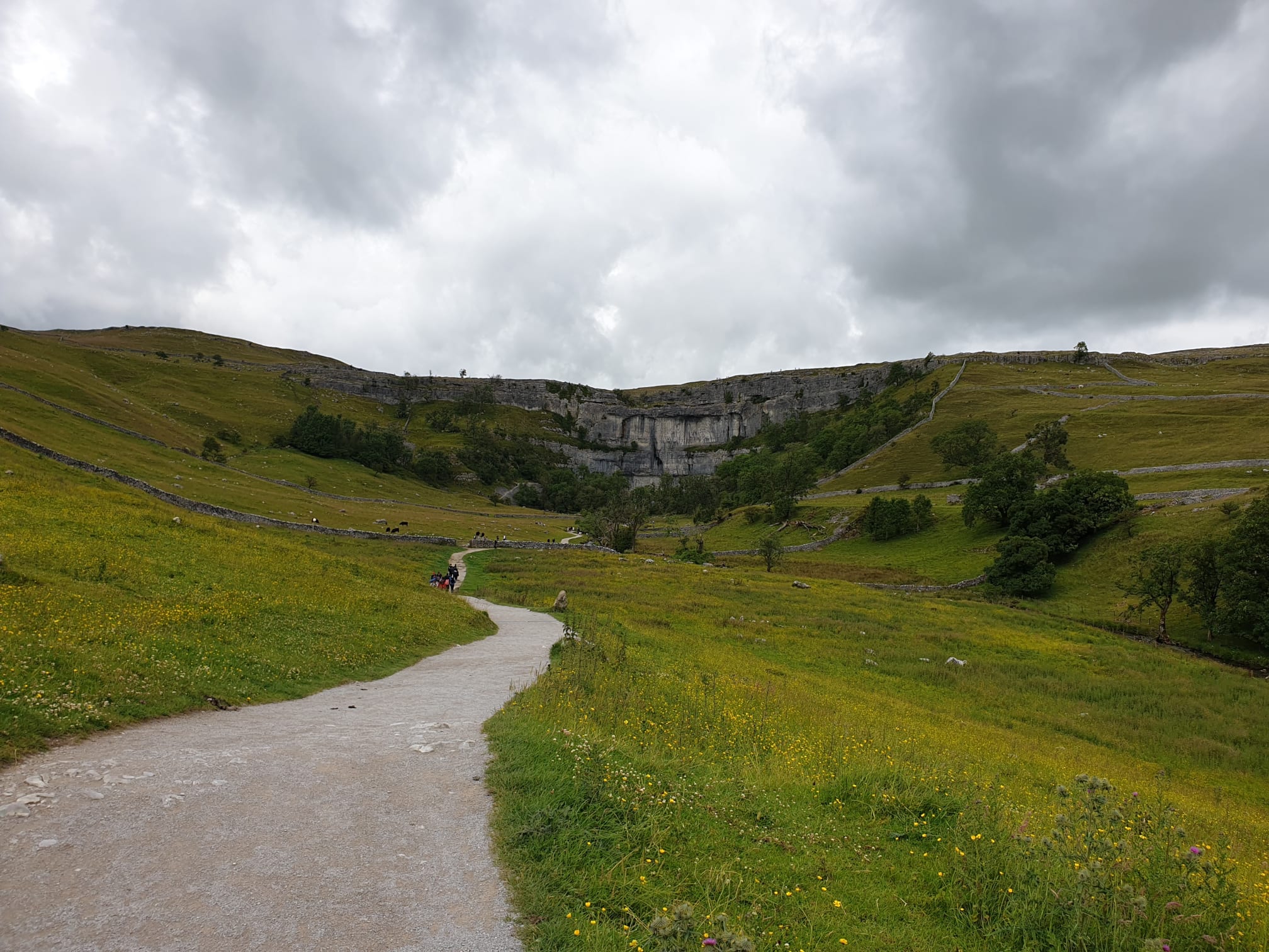
After taking in the view, from a safe distance away from the edge! It’s time to head down, the steps down are to the west of the cove and can be quite steep in places. Again this is part of the Pennine Way so well used and can be a bit busy. At the bottom of the steps down the path is smoother gravel path and follows Malham Beck, follow the path north to the bottom of the cove itself.
Then follow the gravel path south, through grassy fields and gates where it joins the road to Malham.
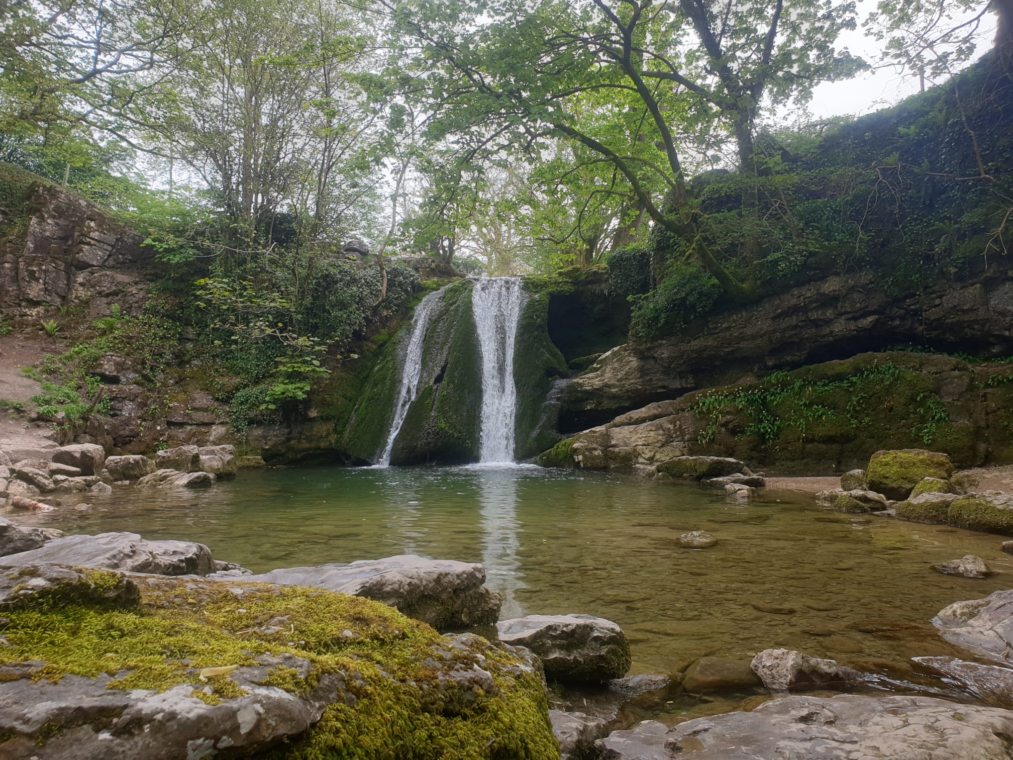
Following the road, it’s at Malham where you leave the Pennine Way, turning left along Gordale Lane and following the lane east until you get to a bend in the road with a gate on the right hand side, the short path to Janets Foss.
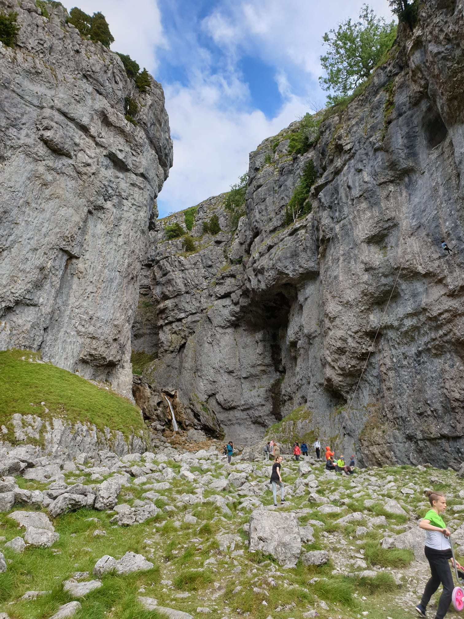
Rejoining the road for a short distance there is now a path a little further along on the left to Gordale Scar. Another smooth gravel track takes you to the Scar – quite popular with climbers.
It was at this point we realised that the planned path through Goredale Scar involved climbing up a waterfall!
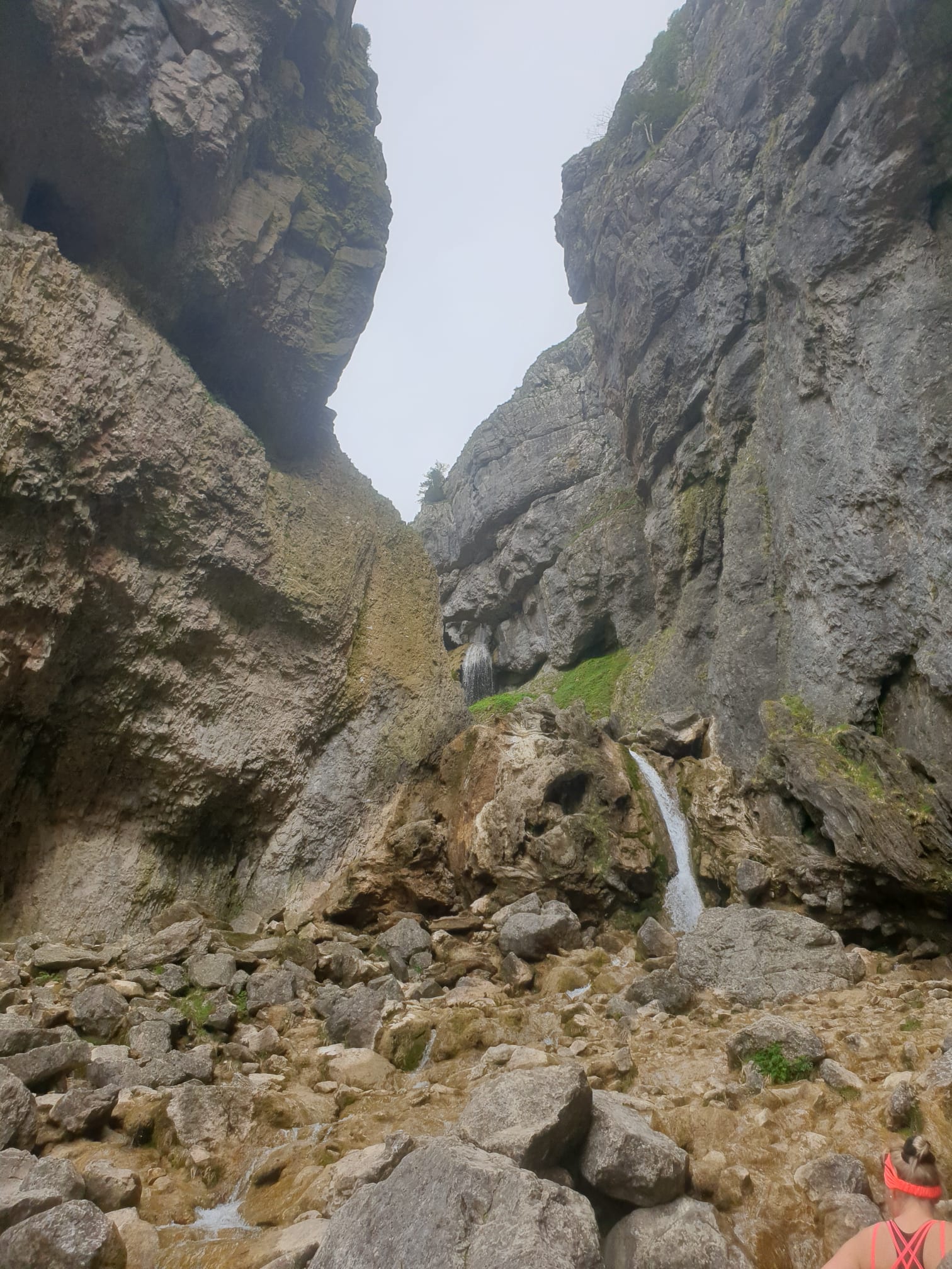
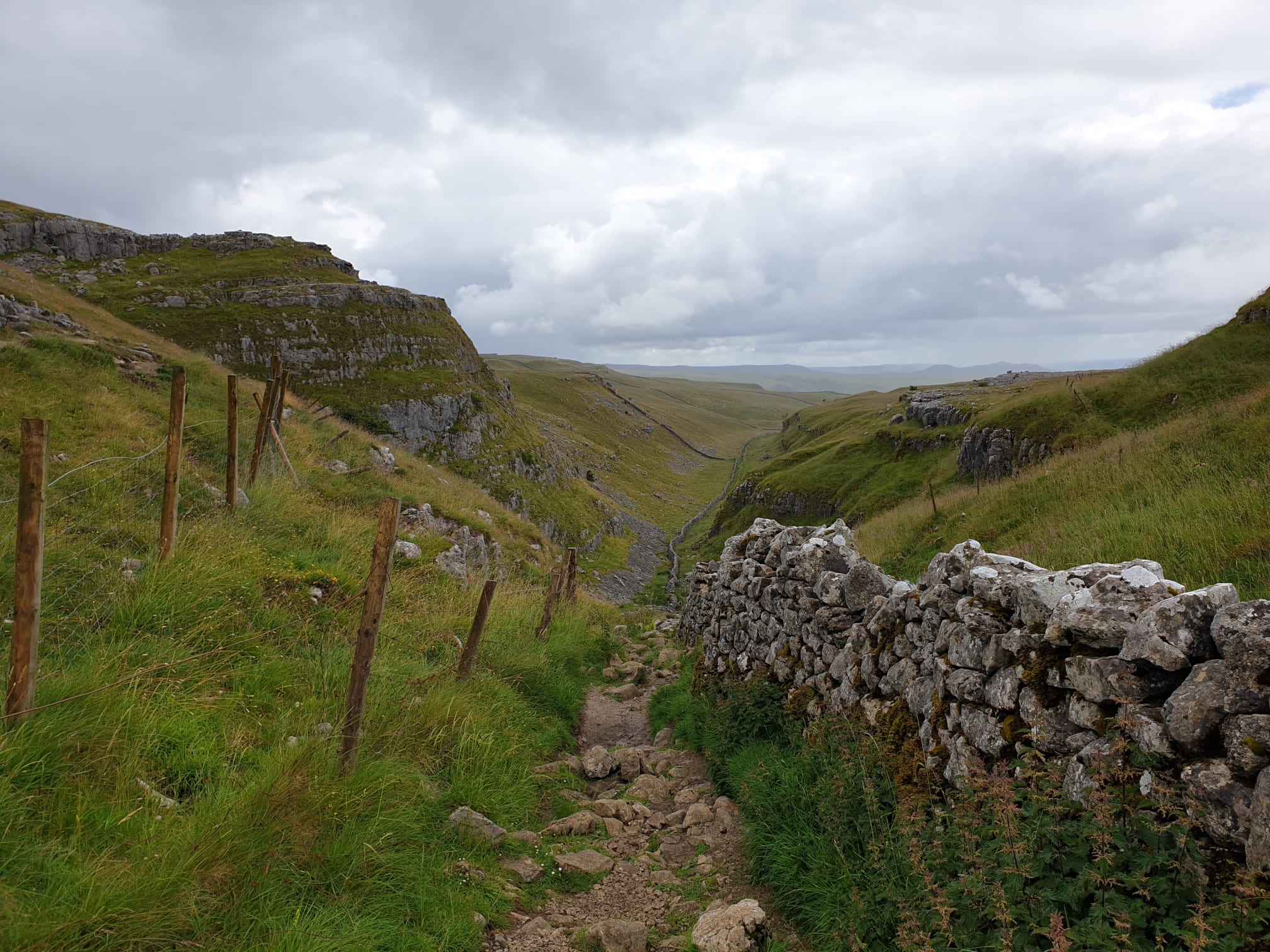
So we aborted that plan, retraced our steps to Gordale Lane and followed a nice easy grassy path (Dales High Way) over the hill to the east of Malham Cove.
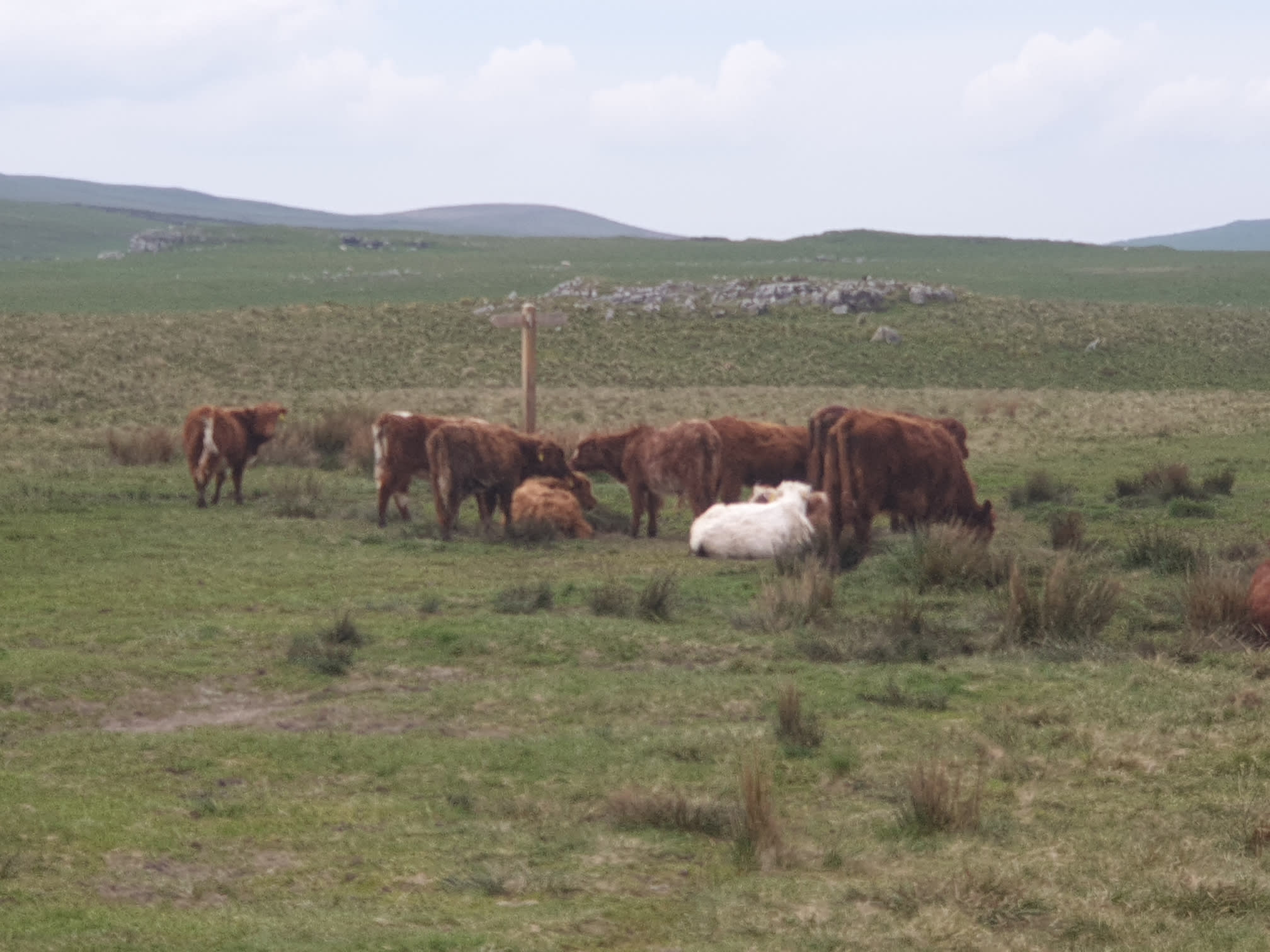
Just this one obstruction on the route, but they soon moooooved.
It’s then just a case of following the path north, over moors and fields back to the car park.