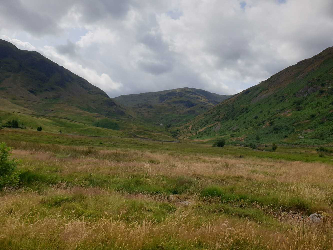
Haweswater is a reservoir in the valley of Mardale, Cumbria in the Lake District, England. The man-made reservoir, which was created by damming the original natural lake, was completed by 1935. It raised the water level in the valley by 29 m (95 ft).
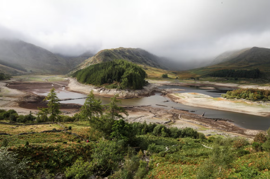
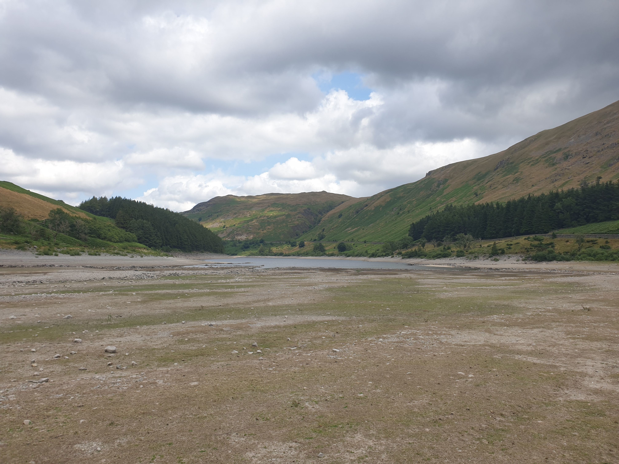
All the farms and dwellings of the villages of Mardale Green and Measand were demolished while the dam wall was being built, as well as the centuries-old Dun Bull Inn at Mardale Green. The village church was dismantled and the stone used in constructing the dam; all the bodies in the churchyard were exhumed and re-buried at Shap. When the water in the reservoir is low, the remains of the submerged village of Mardale Green can still be seen, including stone walls and the village bridge
Here is an image of the reservoir with a low level from this ‘Lost village’ Independent article.
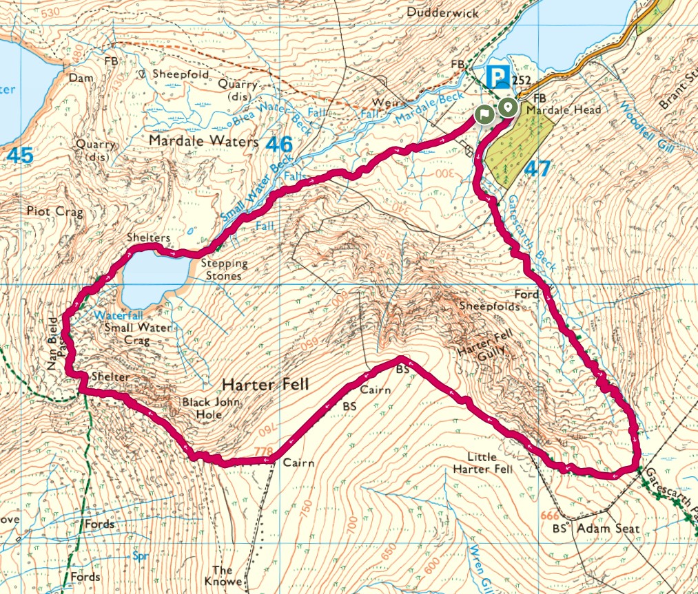
Parking at the Mardale Head Car Park by Haweswater Reservoir. Parking is free, with a donation box and a suggested donation of £2.
This route follows a clockwise loop from the car park. With a steady uphill to Harters Fell then over the top of the fell and back down via Small Water Crag, around Small Water and beck to Haweswater.


Leaving the car park in the opposite direction to the reservoir, head through the gate and along the gravel track. Harter Fell ahead, this is where the route is heading.
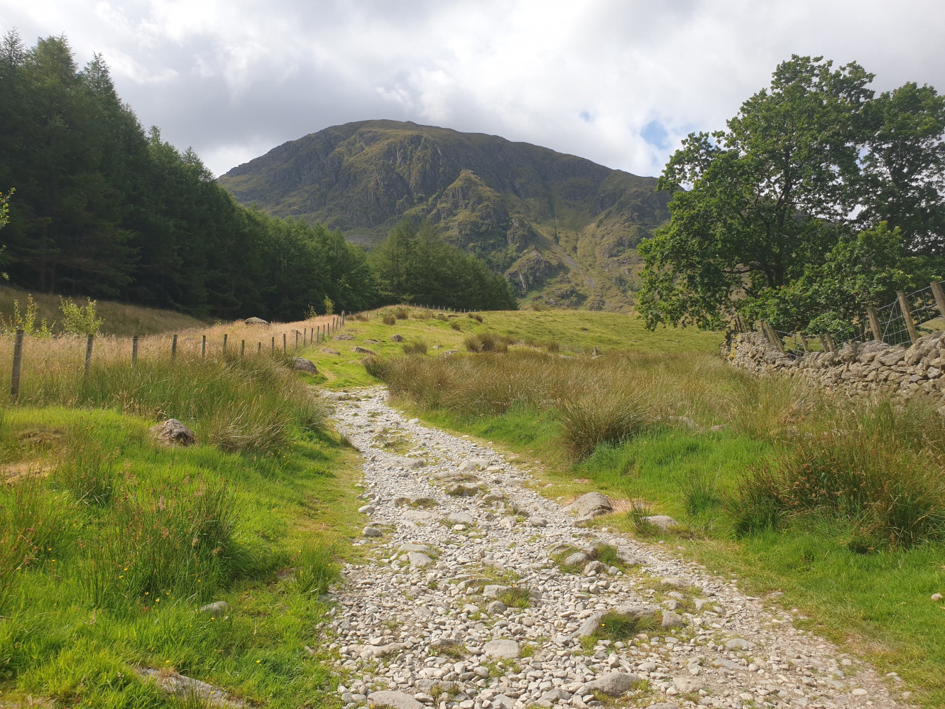
Keep on the gravel track as it heads steadily uphill alongside Gatescarth Beck.
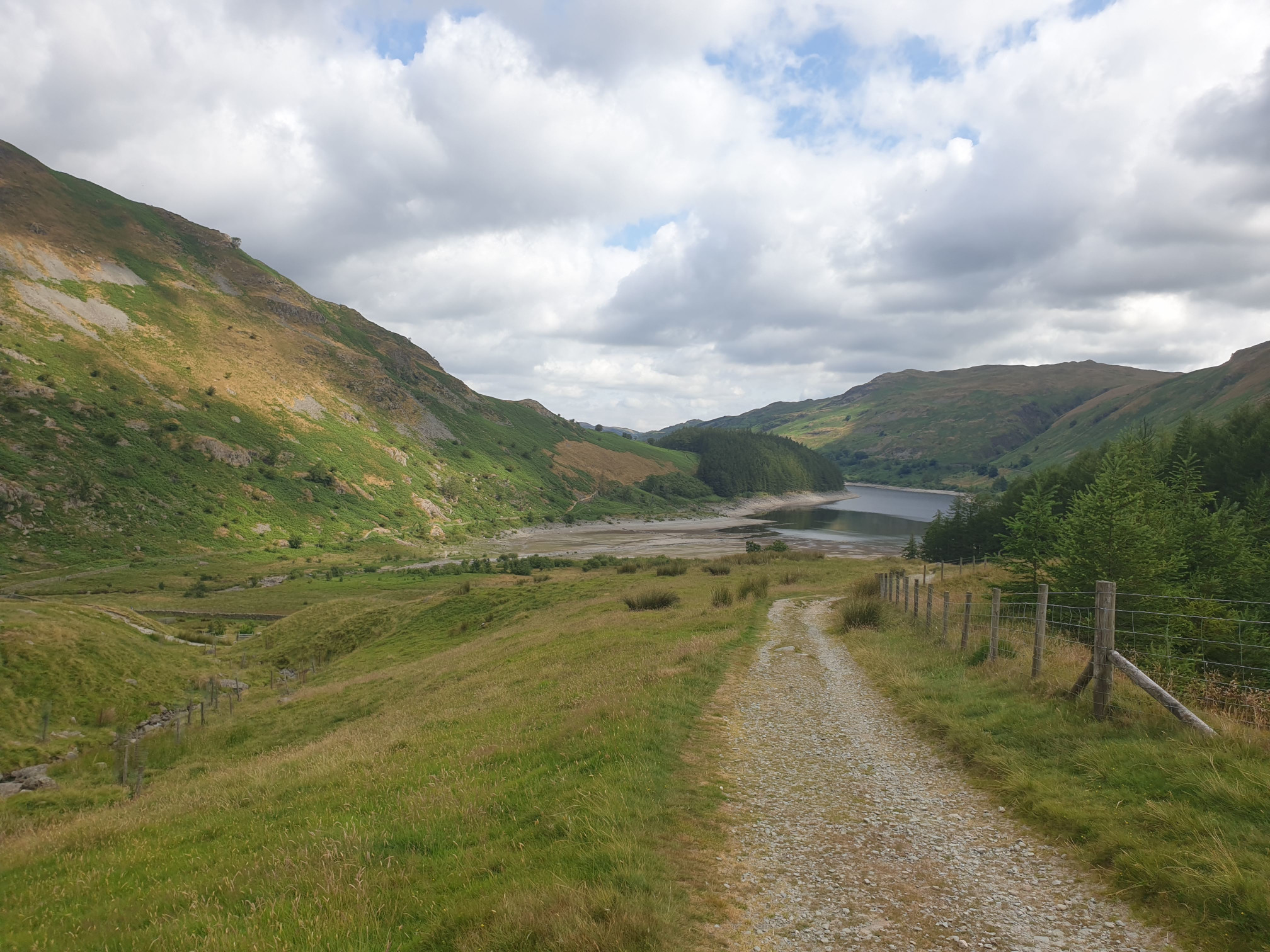
Here a closer view of Harter Fell, showing the path alongside the drystone wall.
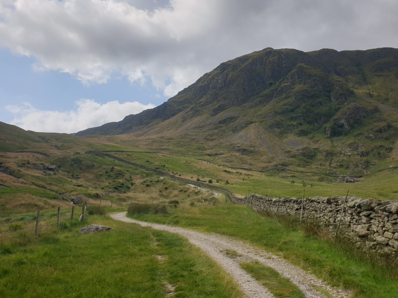
Harter Fell on the right as we head uphill.
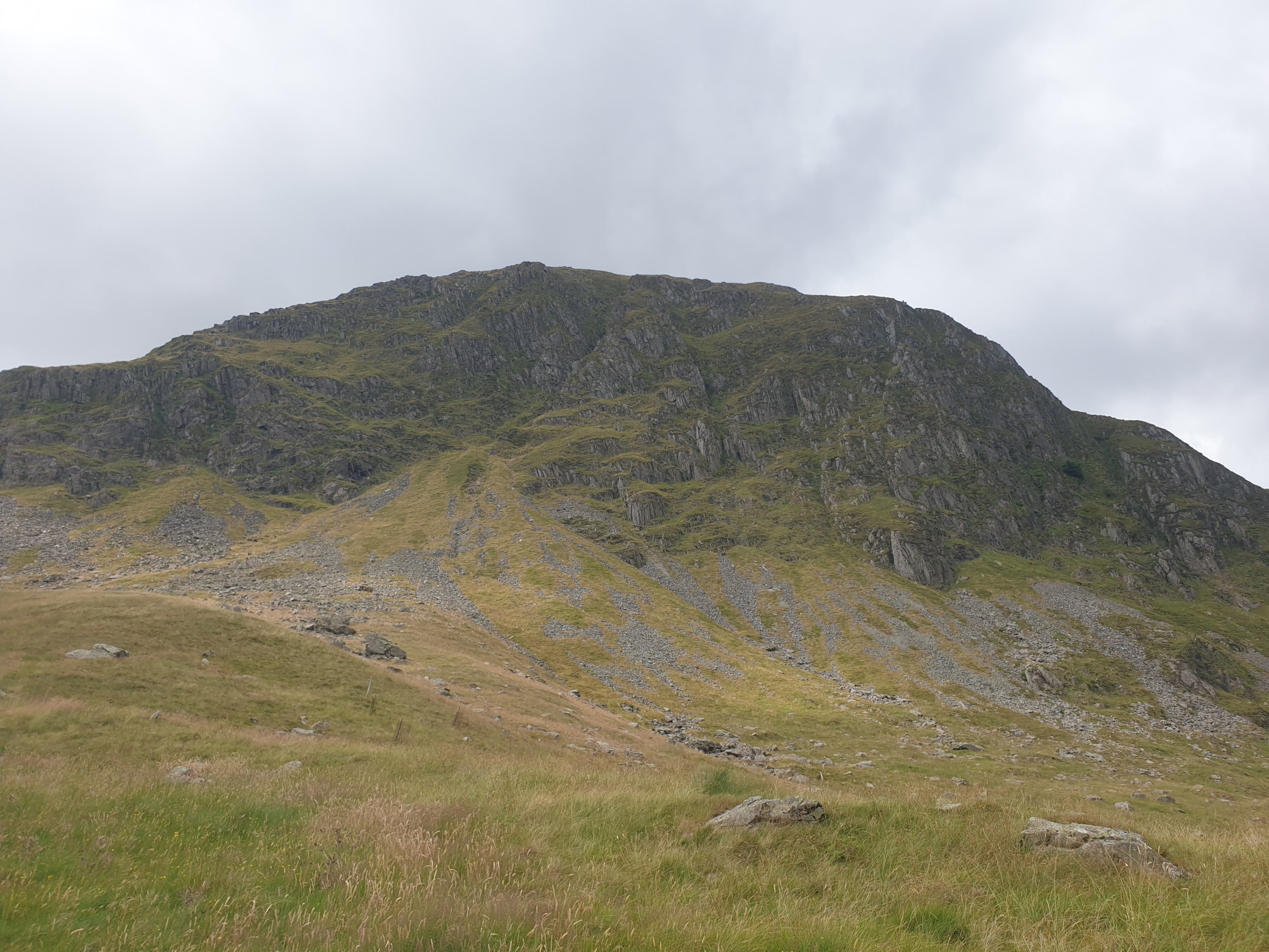
And the view downhill showing where we’ve come from.
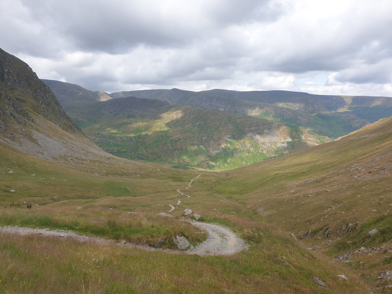
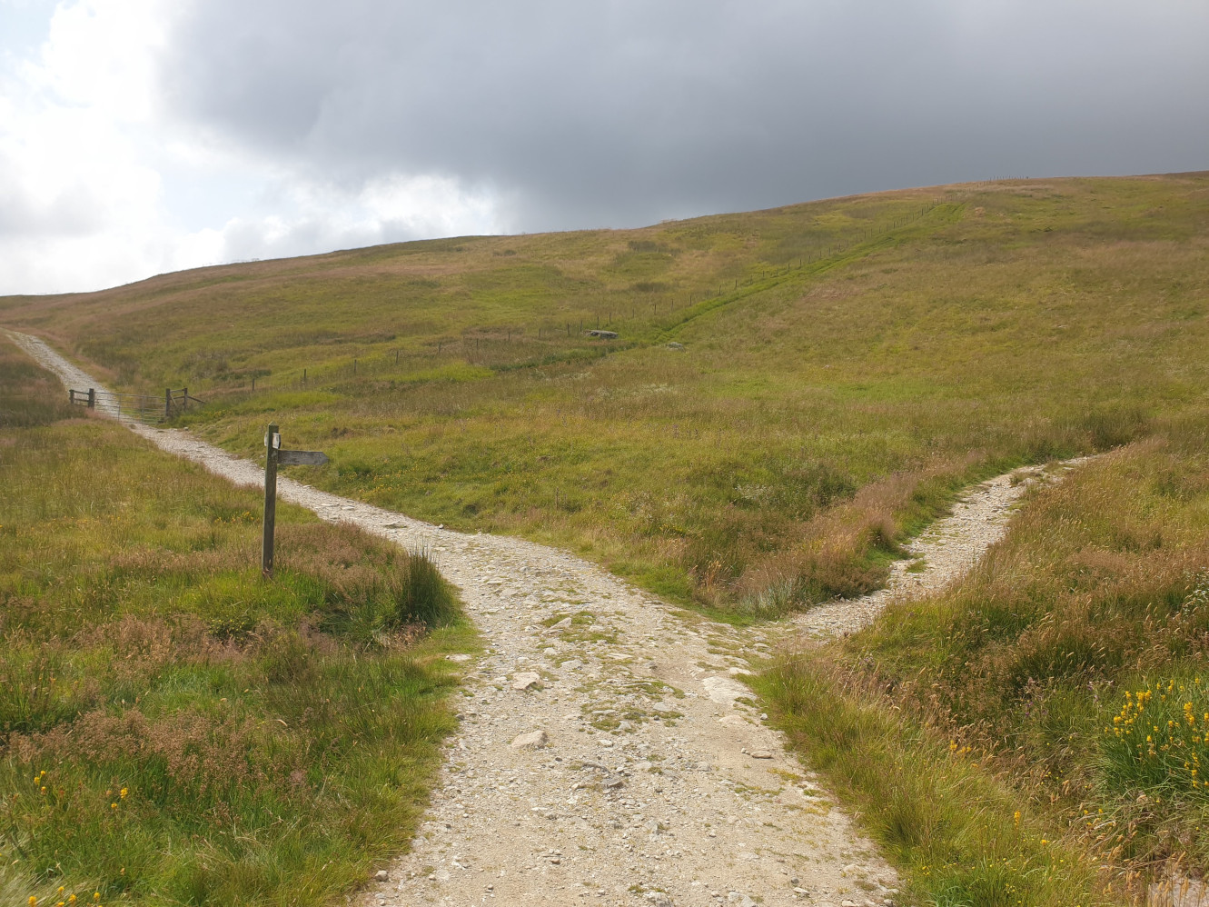
It’s at thie junction in the path where we turn off to the right heading up a slightly steeper uphill.
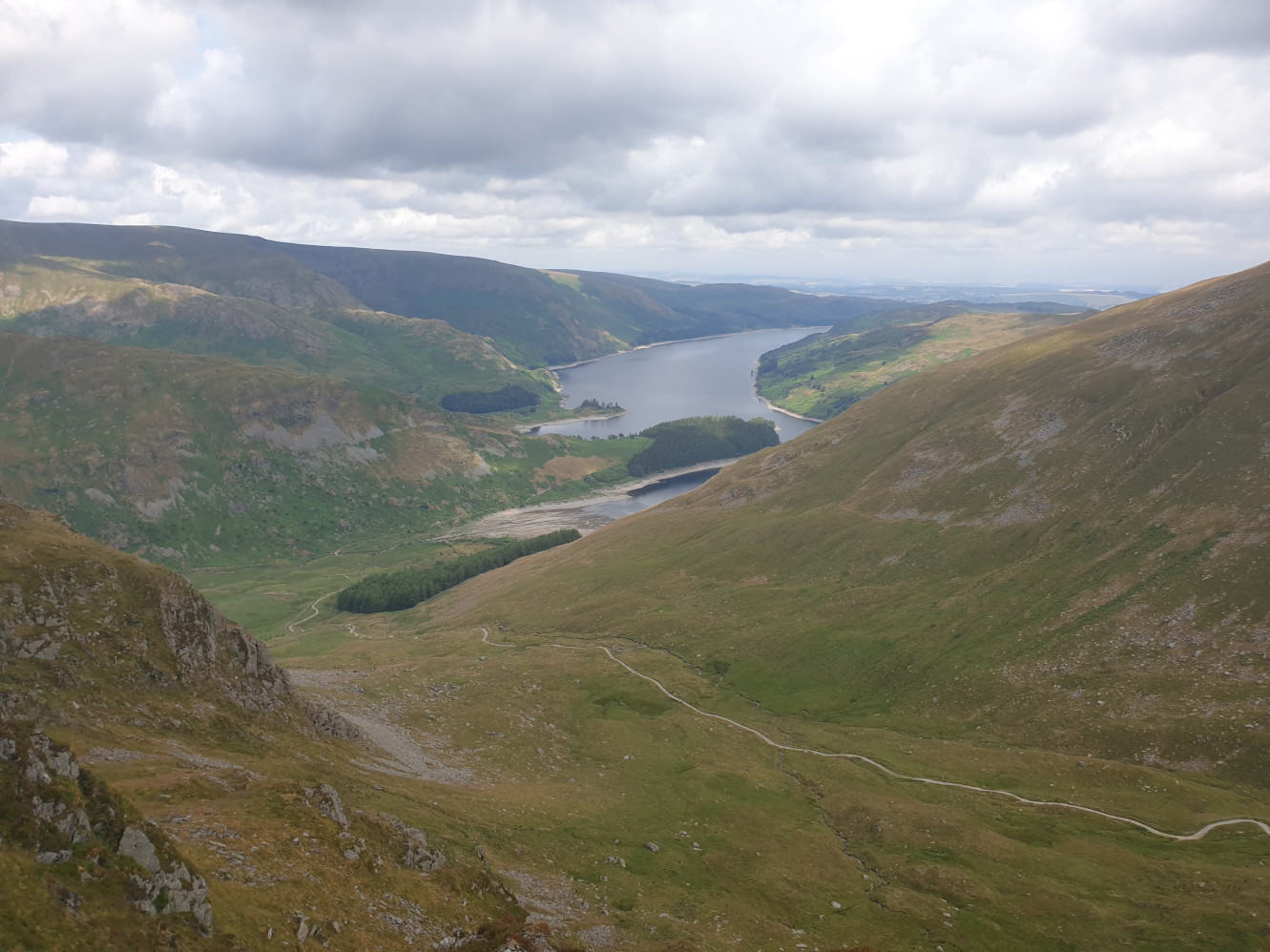
Getting nearer the top of the fell and the first proper view from above of Haweswater. You can also see the path we just trekked up.
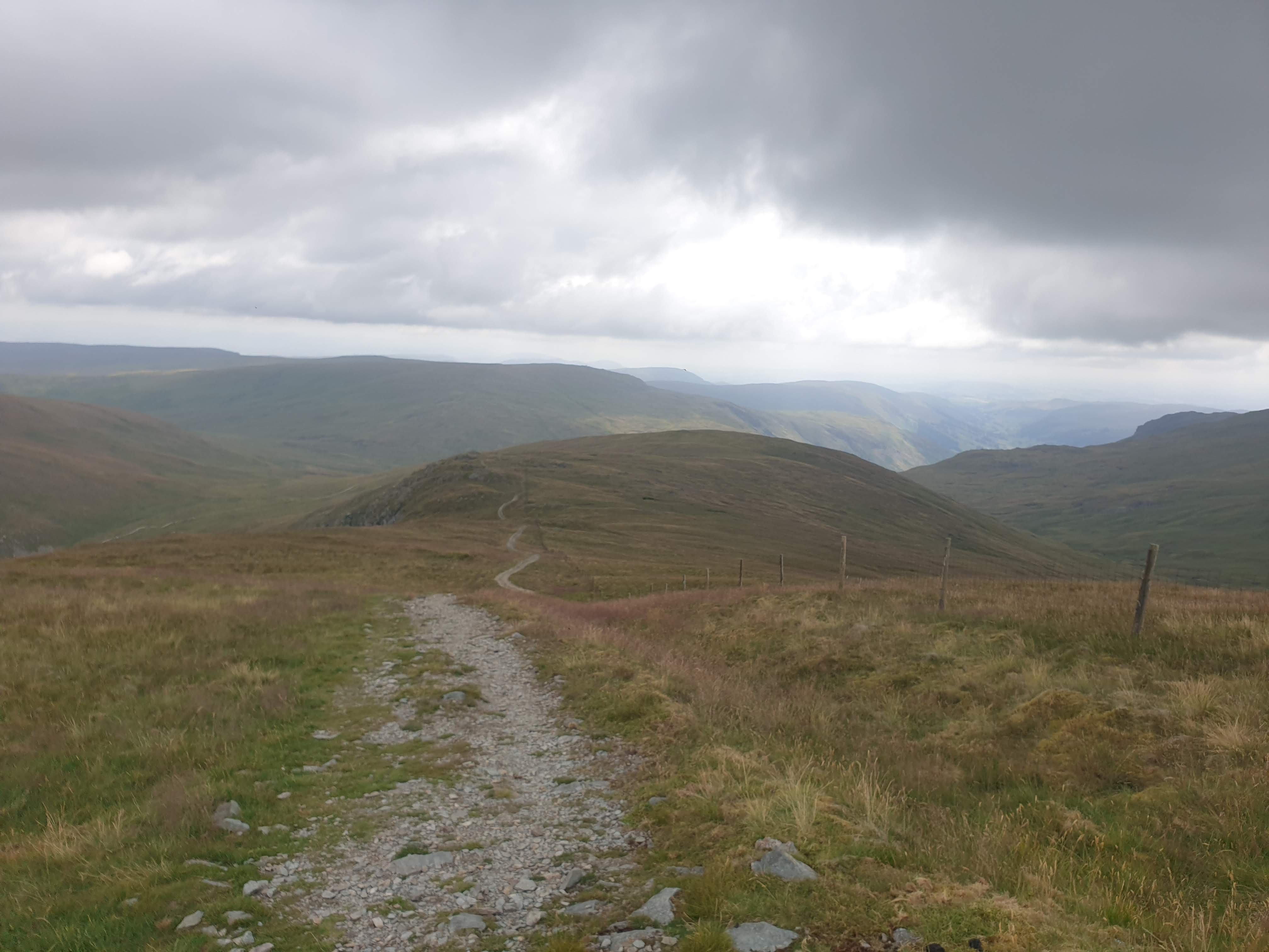
Keep following the gravel track over the top of the fell. This pic looking back along the route.
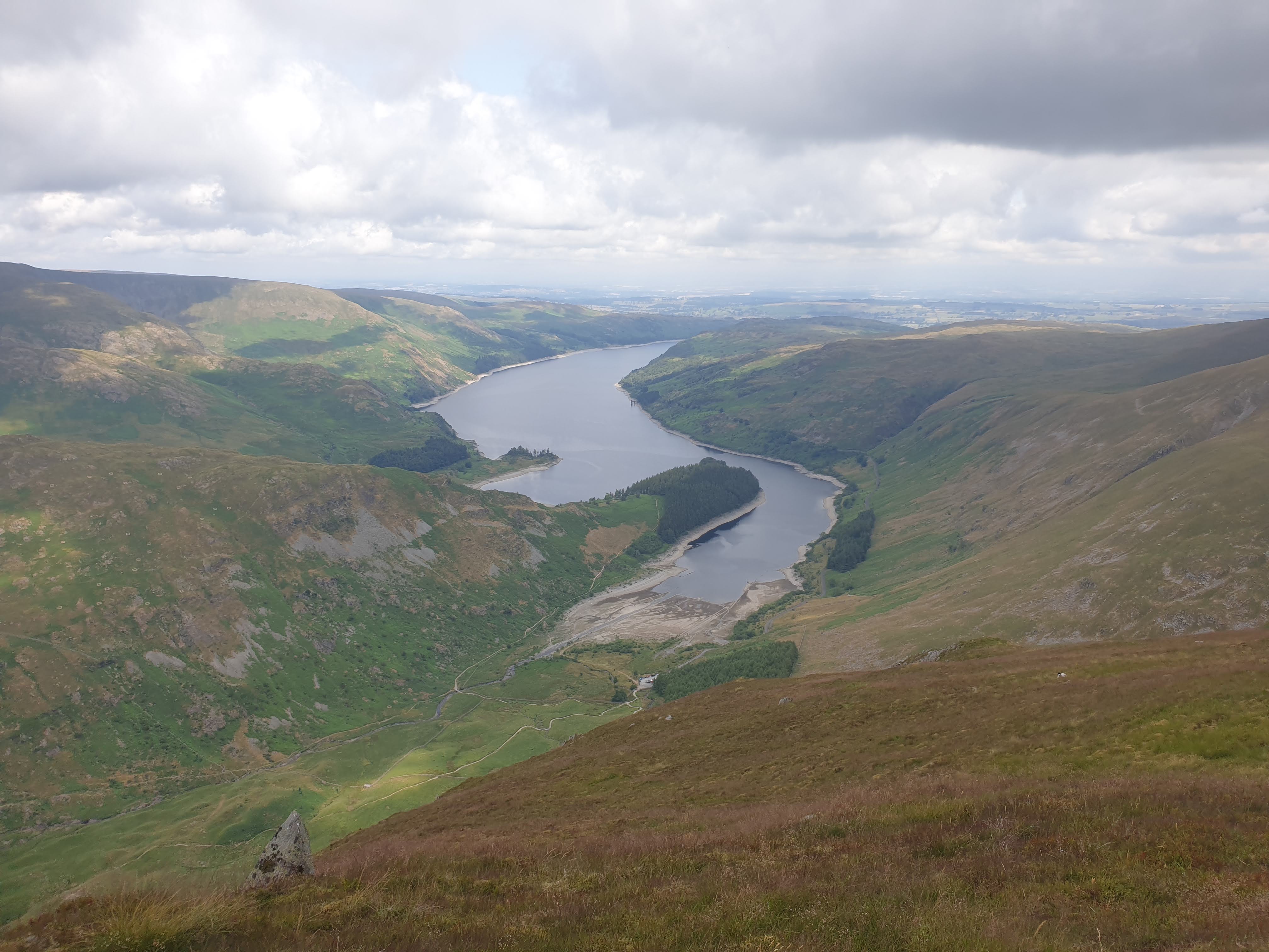
Finally near the top of the fell, looking down on Haweswater.
The path conitnues along the top of the fell and past a couple of boundary stones and carins…
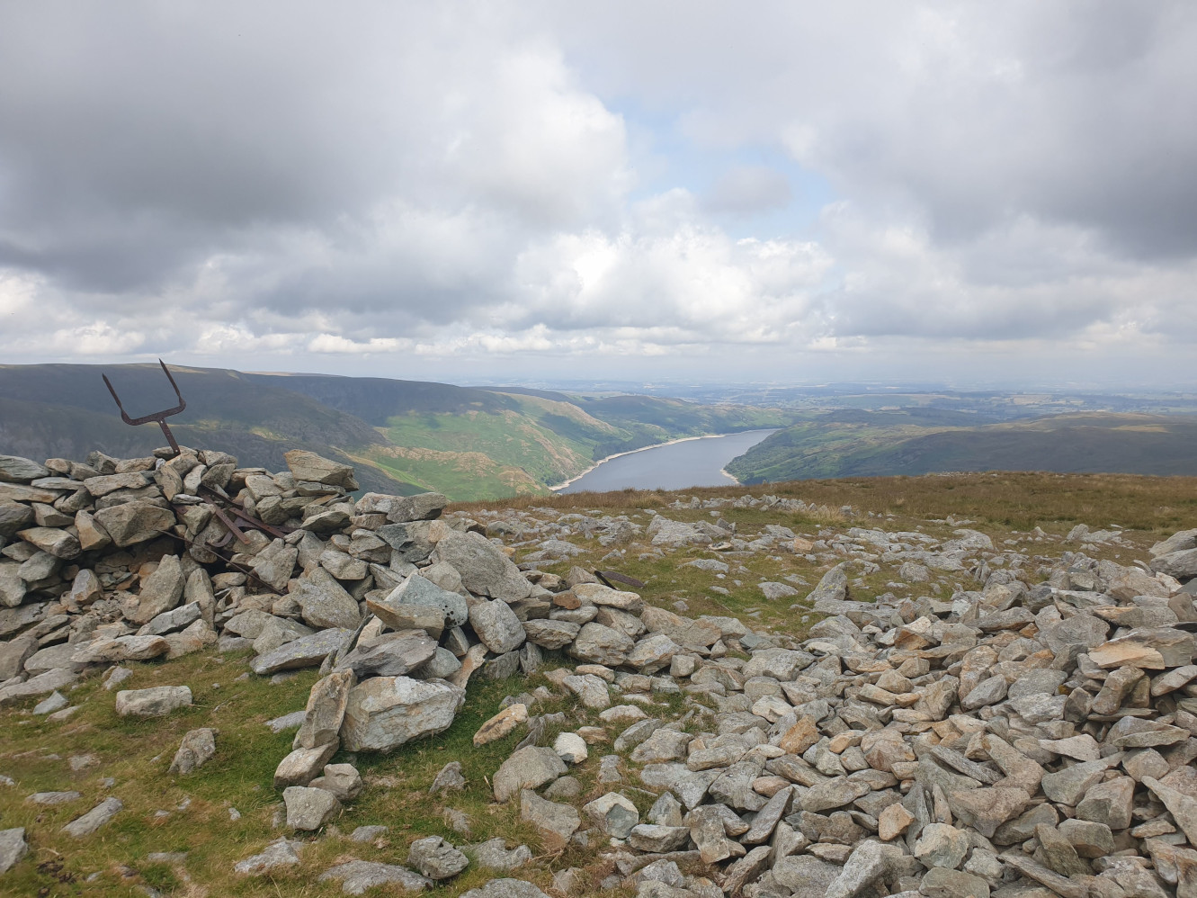
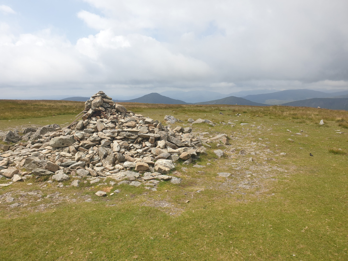
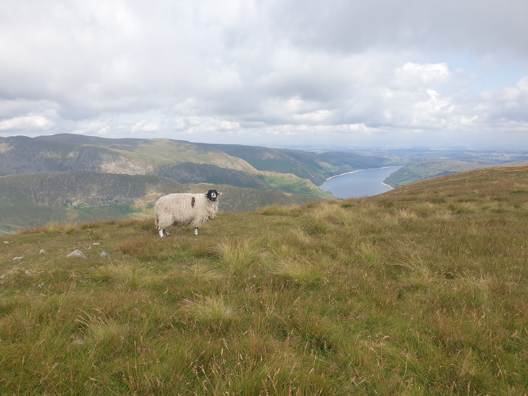
…and a sheep, who looked very happy to pose for this pic.
At the top of Harter Fell, looking ahead along the ridge line and the path we are about to head along.
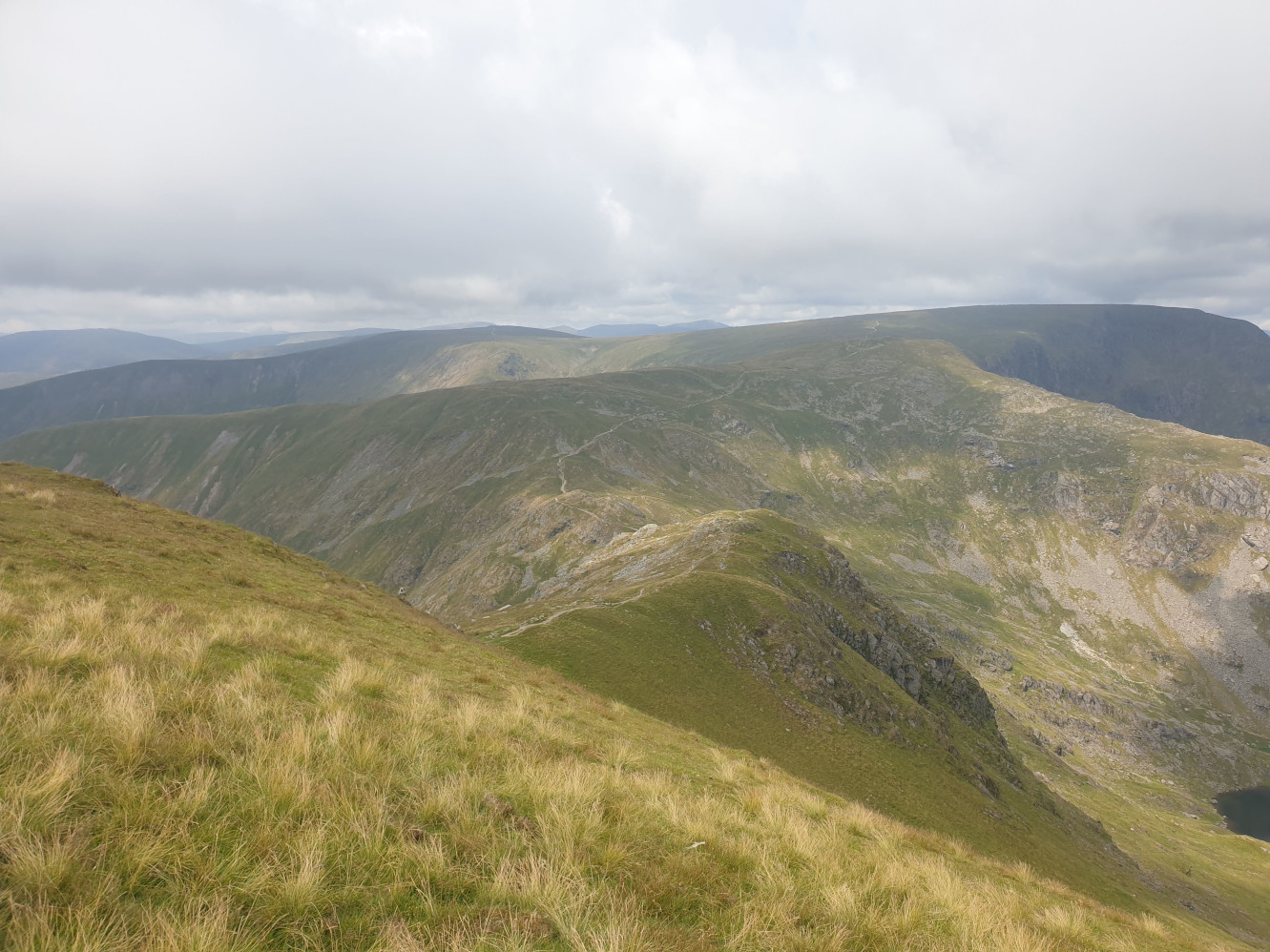
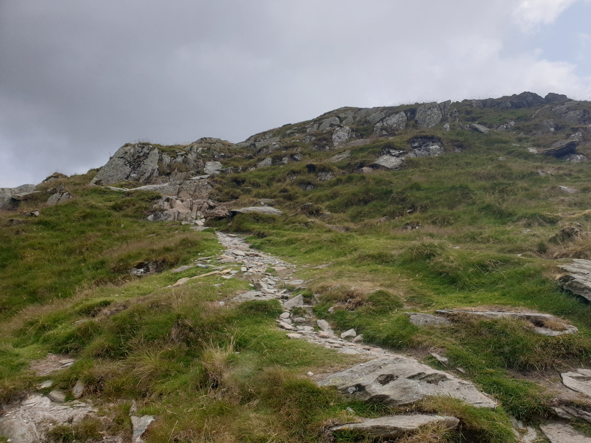
There are some parts of the path which invovle a bit of scrambling, nothing too tricky.
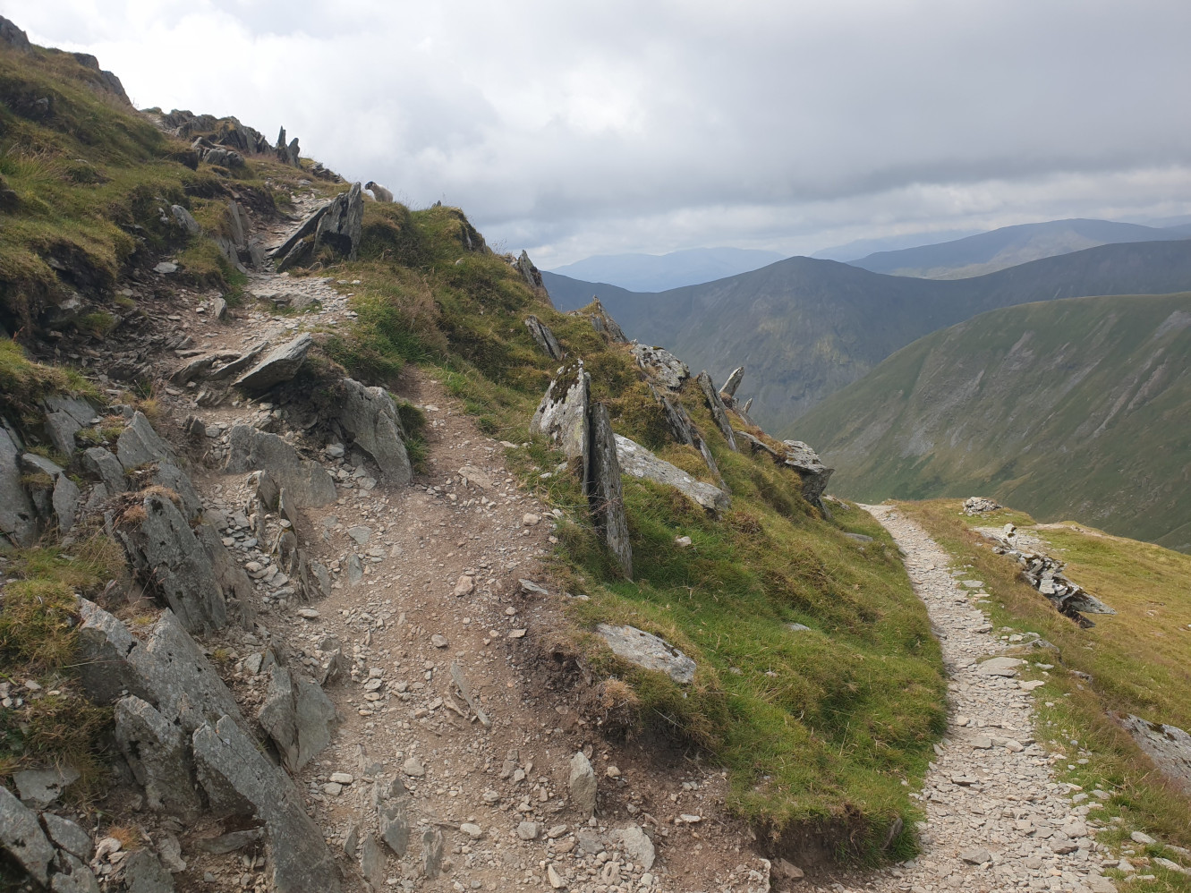
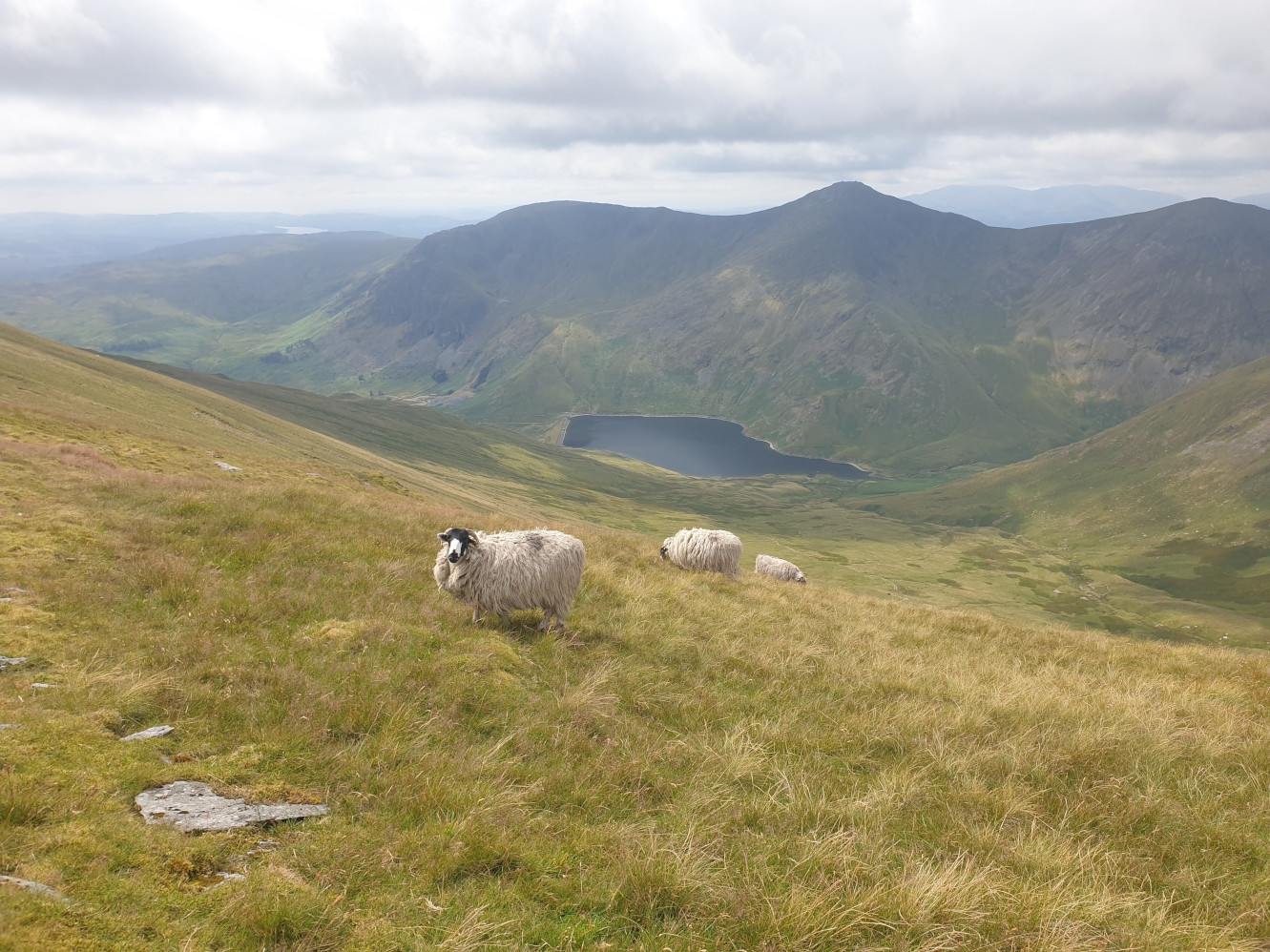
After a bit of clambering over sharp rocks and a zigzaging path the route gets a little easier. Here, looking past the sheep to Kentmere Reservoir.
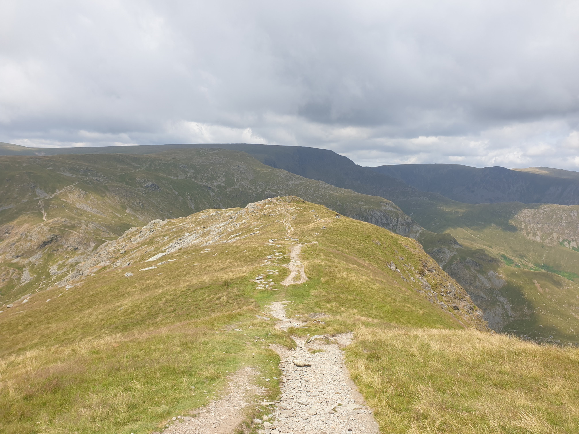
The route continues along the ridge above Small Water Crag.
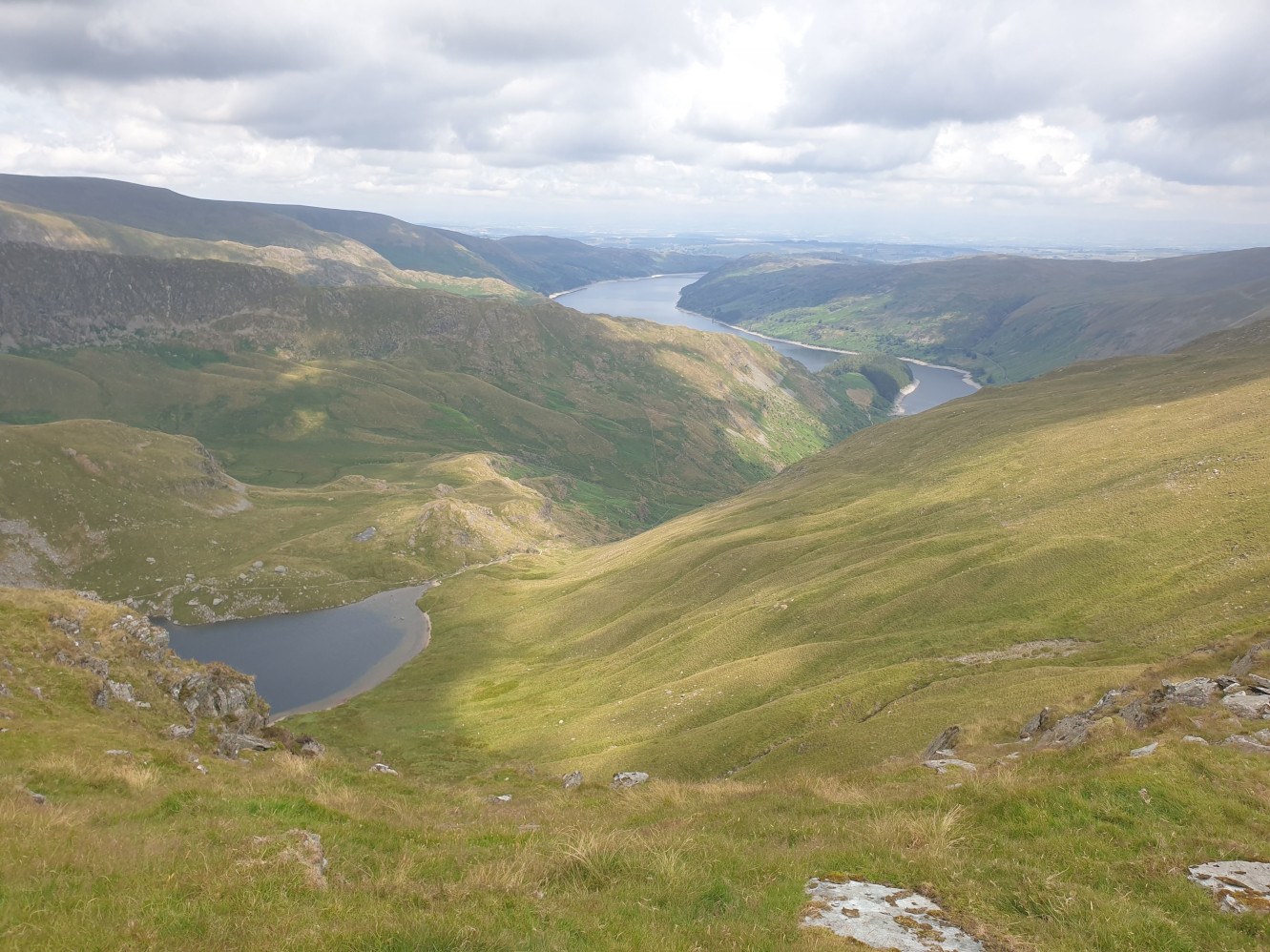
And here looking down at Small Water which we’ll be passing by in a bit, with Haweswater in the distance.
Continue along the path heading downhill which can get rocky in parts.
The stone shelter ahead is an important waypoint for this route, it’s where we turn off the main path, heading right down to Small Water.
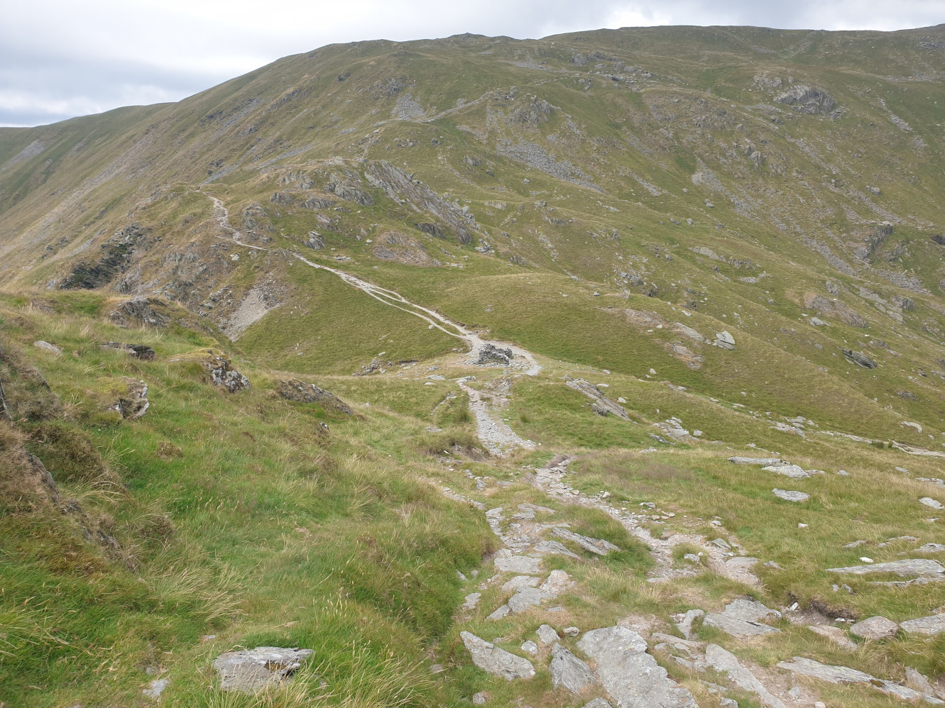
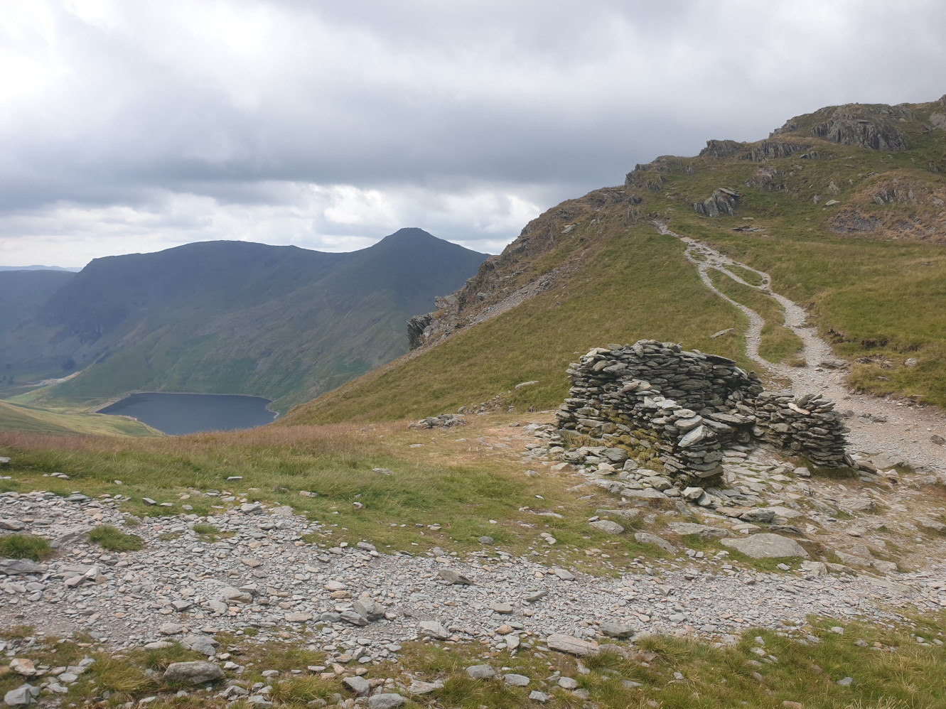
Down Nan Bield Pass towards Small Water. You can see the path ahead to the left of the tarn.
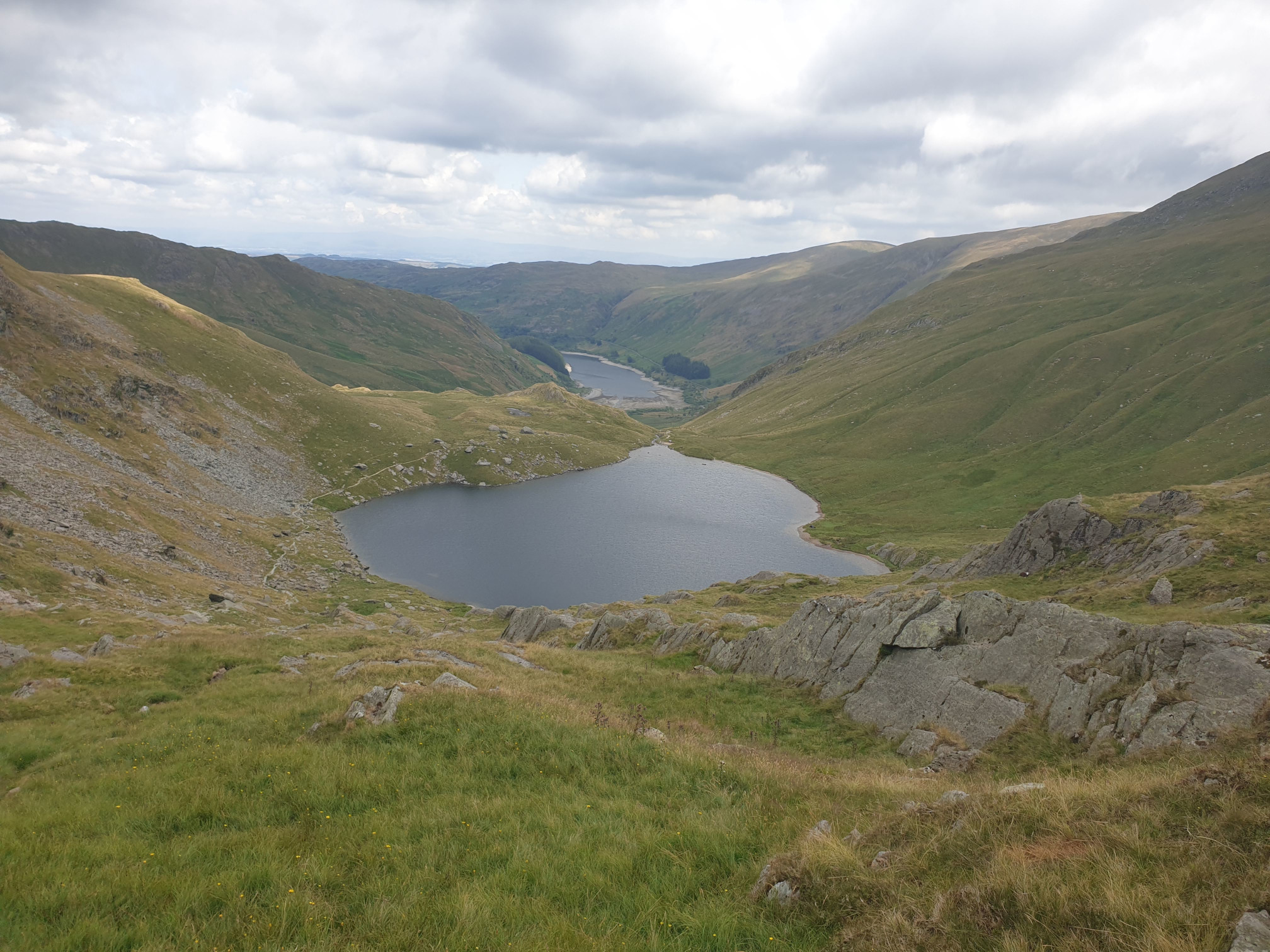
This route can also get quite rocky in places. This pic looking back at the top of the fell.
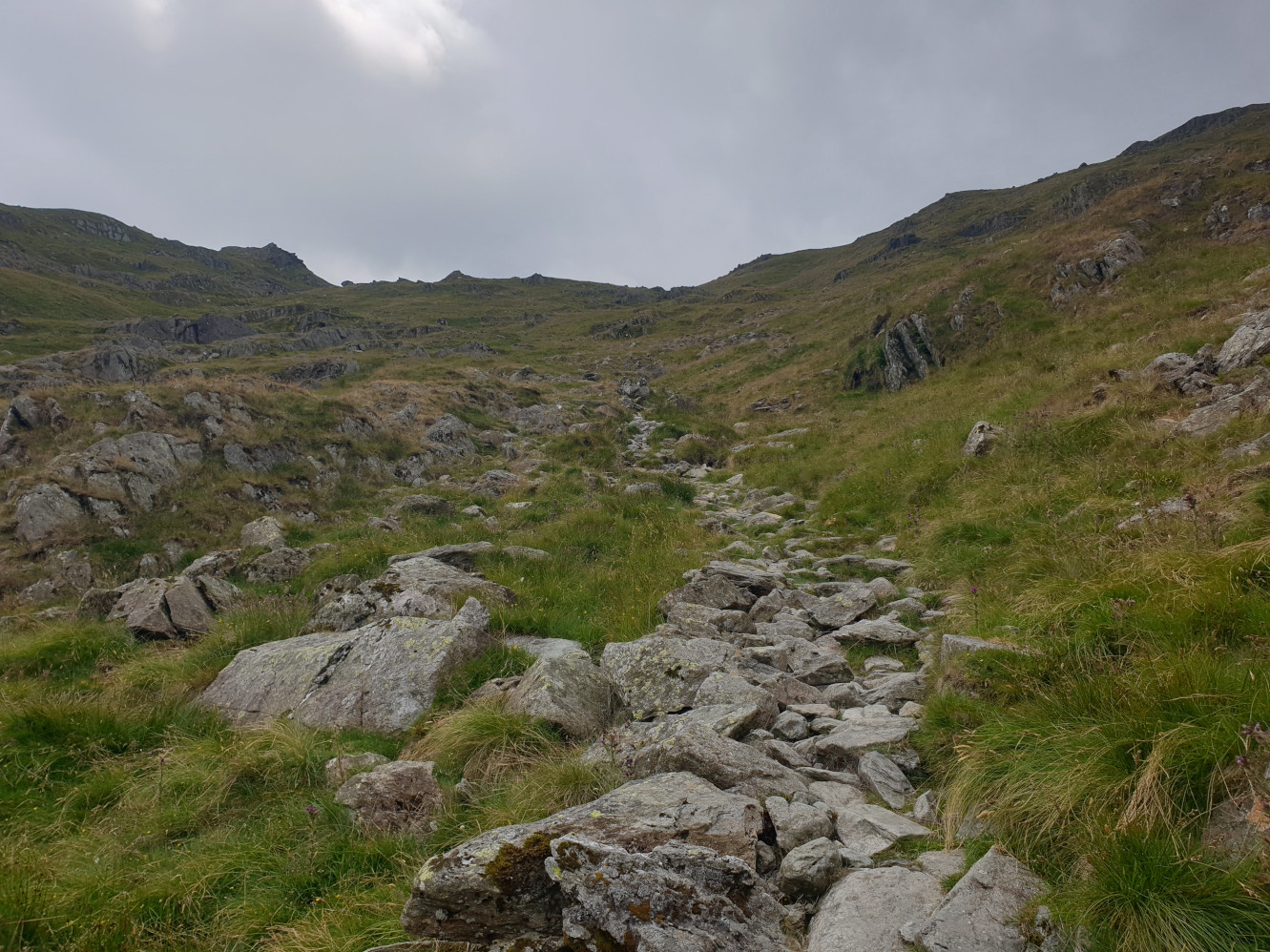
After another scramble over soem rocks the path heads along the edge of Small Water.
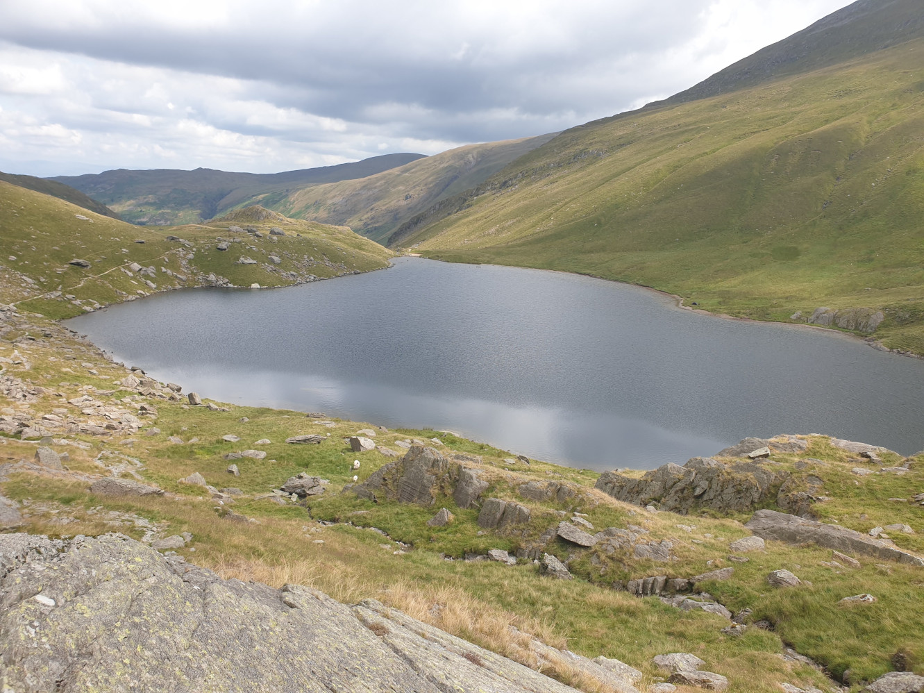
The path continues along the edge of the tarn.
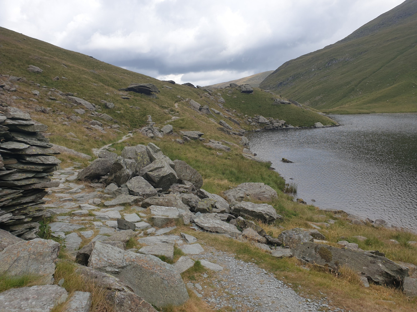
With some stone shelters along the way.
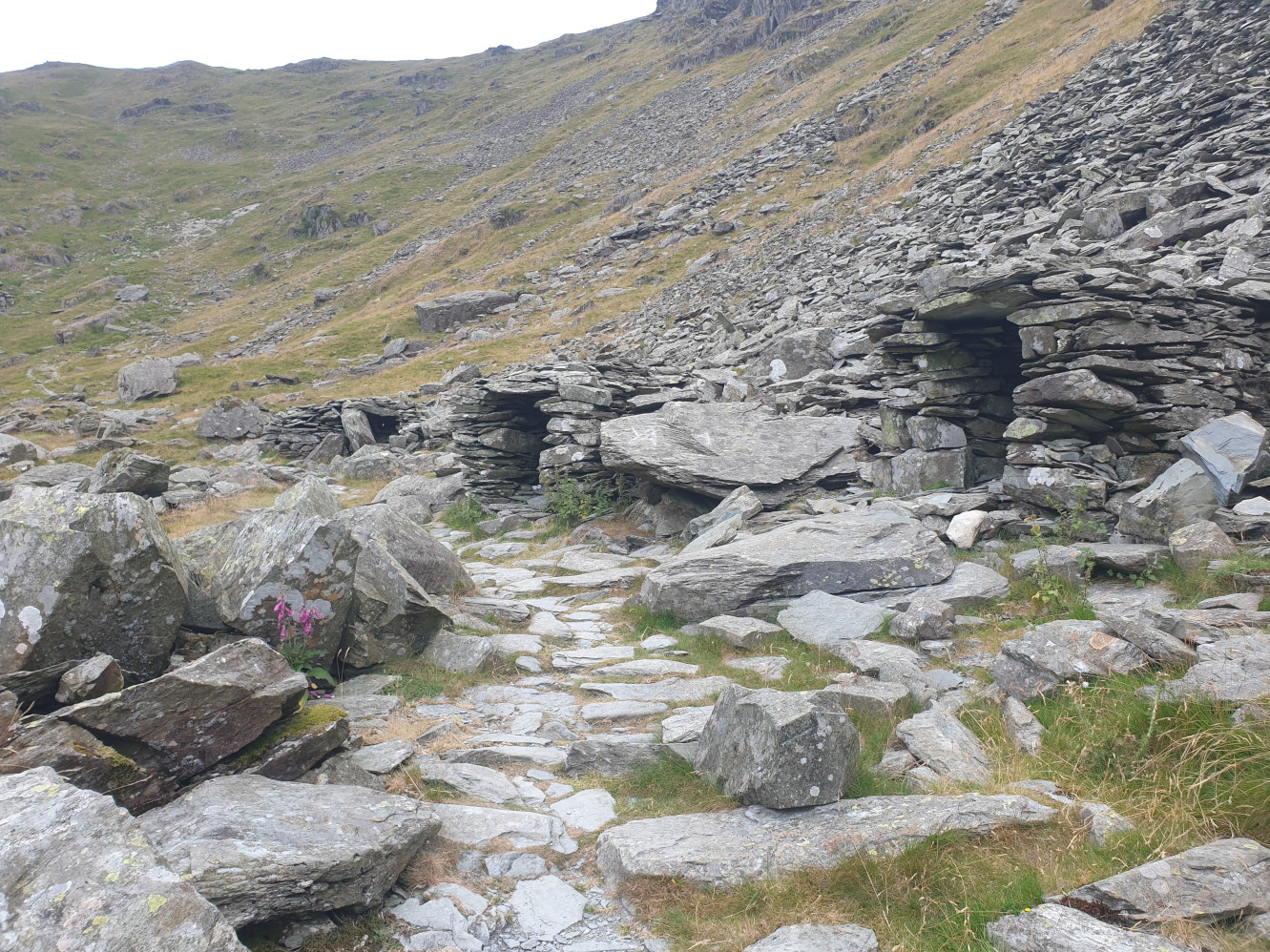
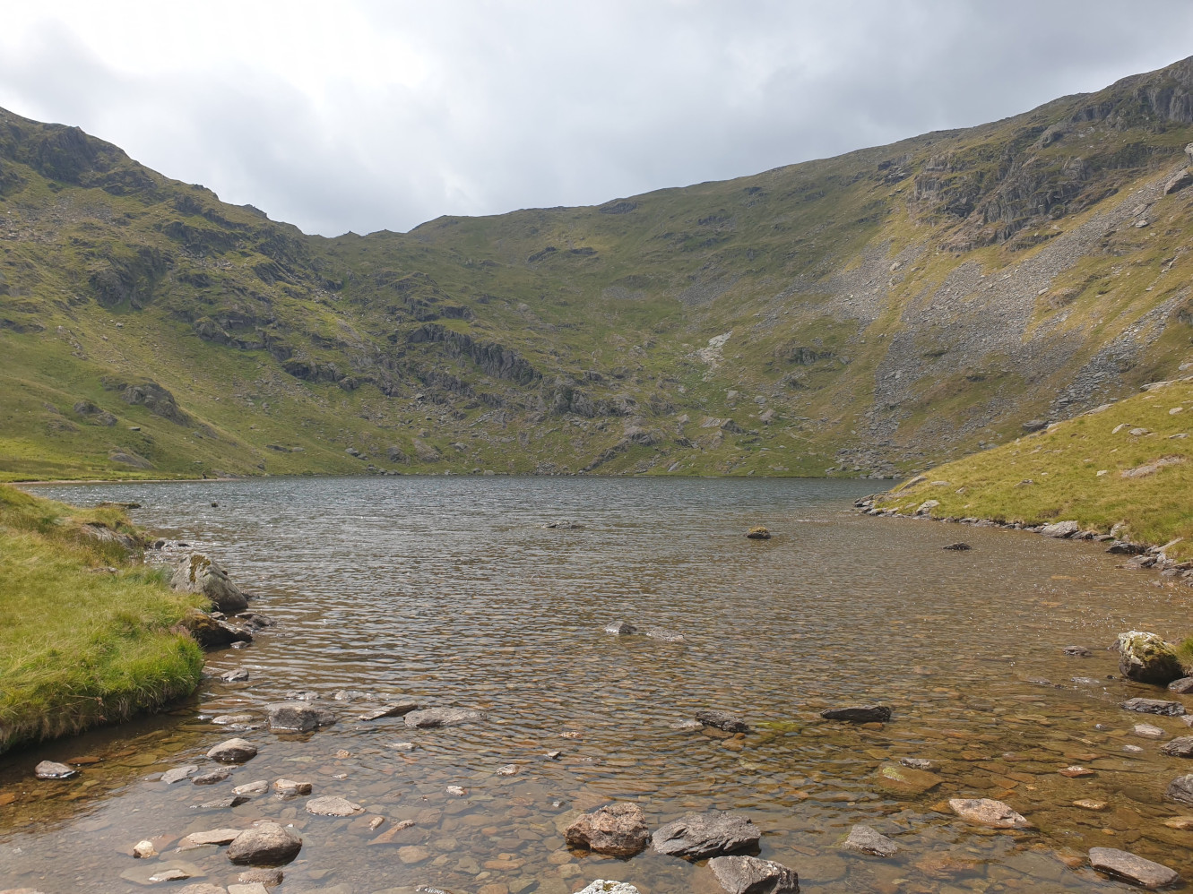
Small Water Tarn and the crag we’ve just headed down. This picture is taken from the stepping stones over Small Water Beck which we’ll be following as the path heads downhill.
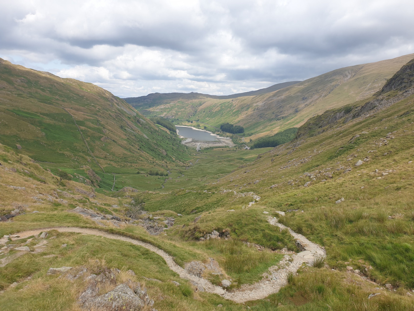
Heading downhill along the gravel path back down to Haweswater.
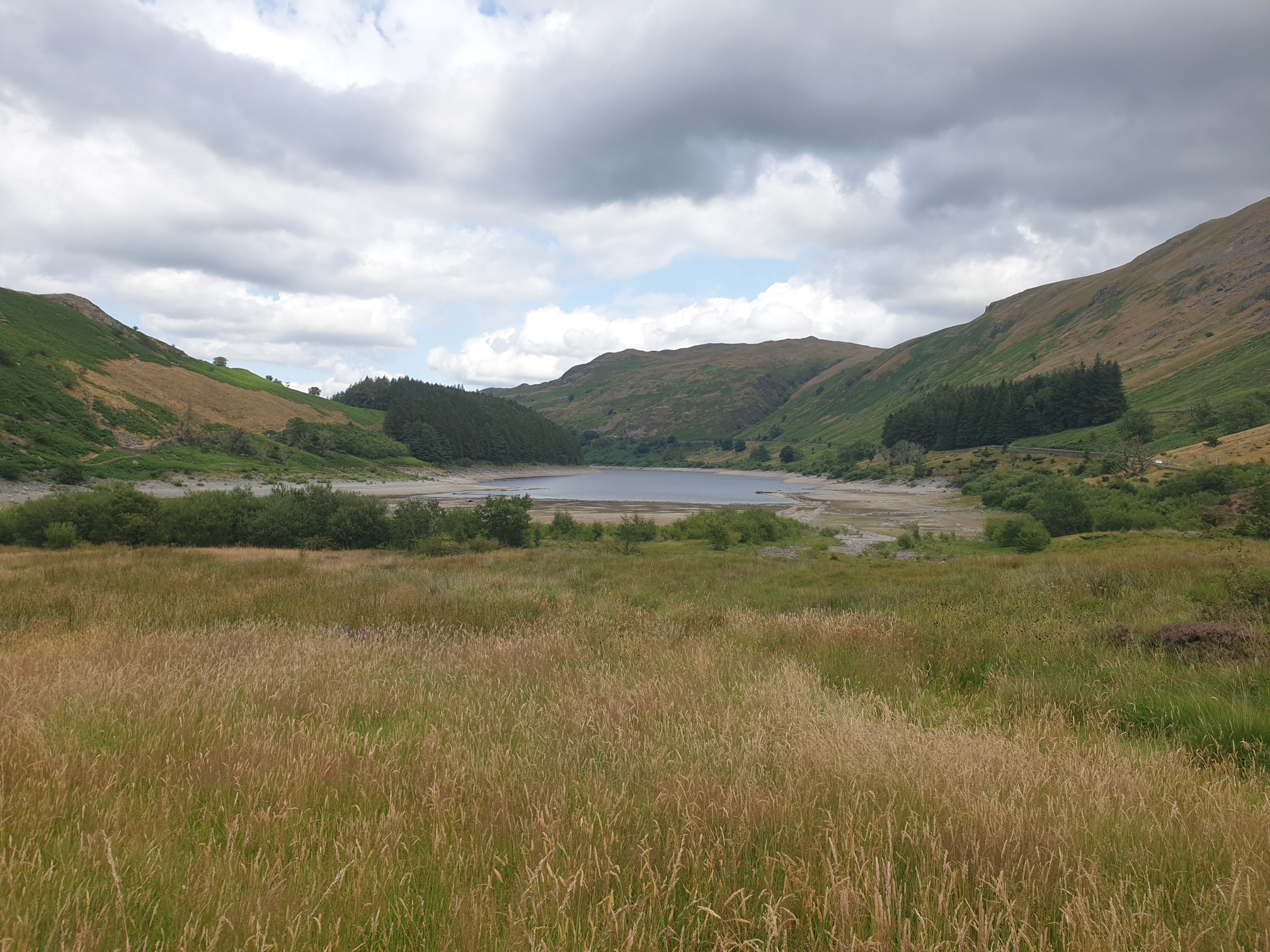
Just before arriving back at the car park and the path where we originally started to head uphill there’s apath to the left which gives you a closer view of Haweswater.
And here looking back at the route we’d taken down from the top of the fell.