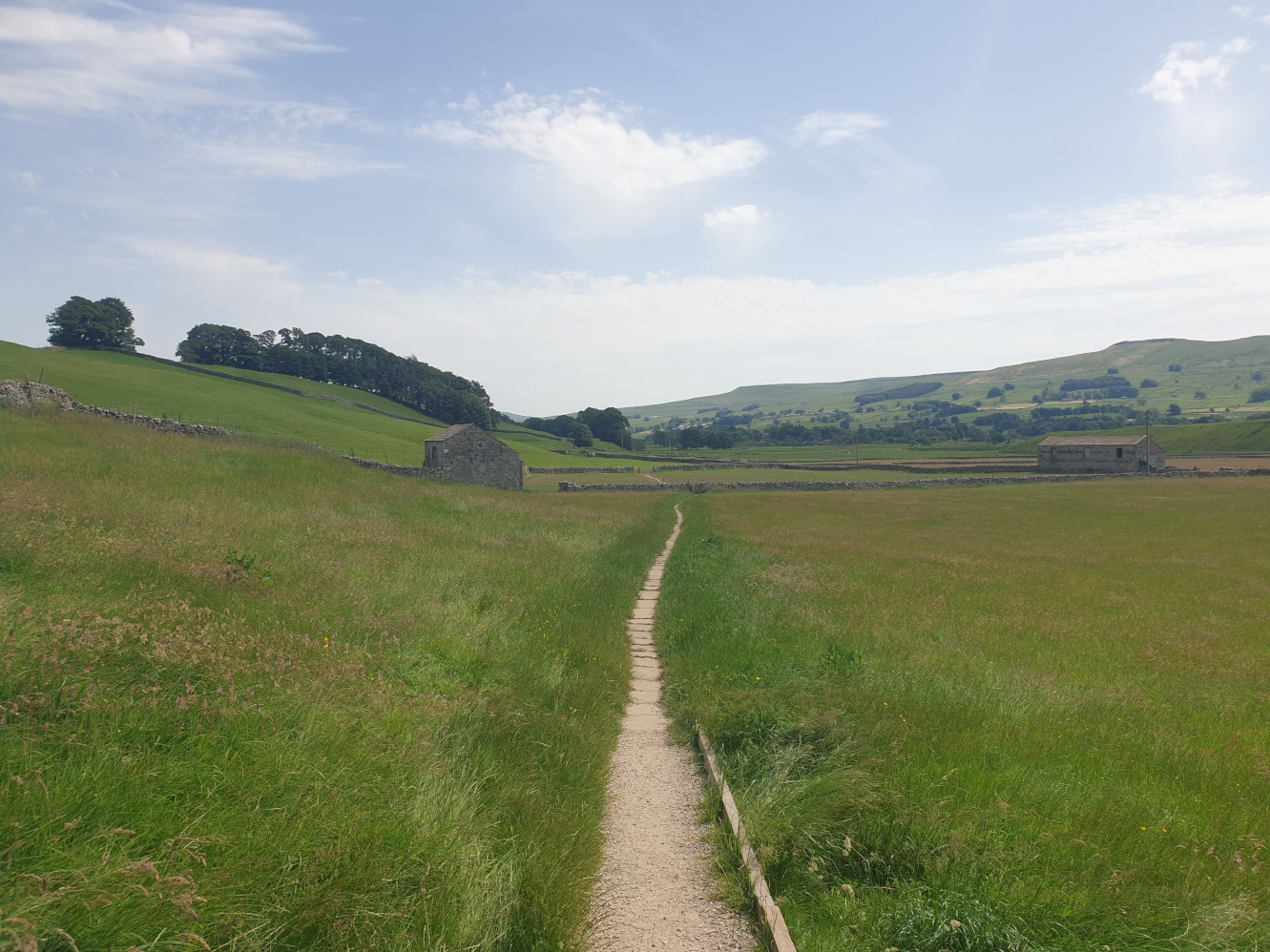
A regular stop off with the family and friends over the years.
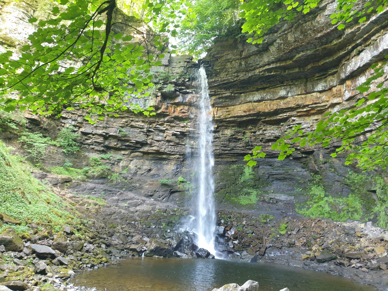
Hardraw Force is England`s largest single drop waterfall, a reputed 100 foot drop and is set within the grounds of the historic Green Dragon Inn. It also featured in Robin Hood Prince of Thieves film, the waterfall where Kevin Costner has a wash.
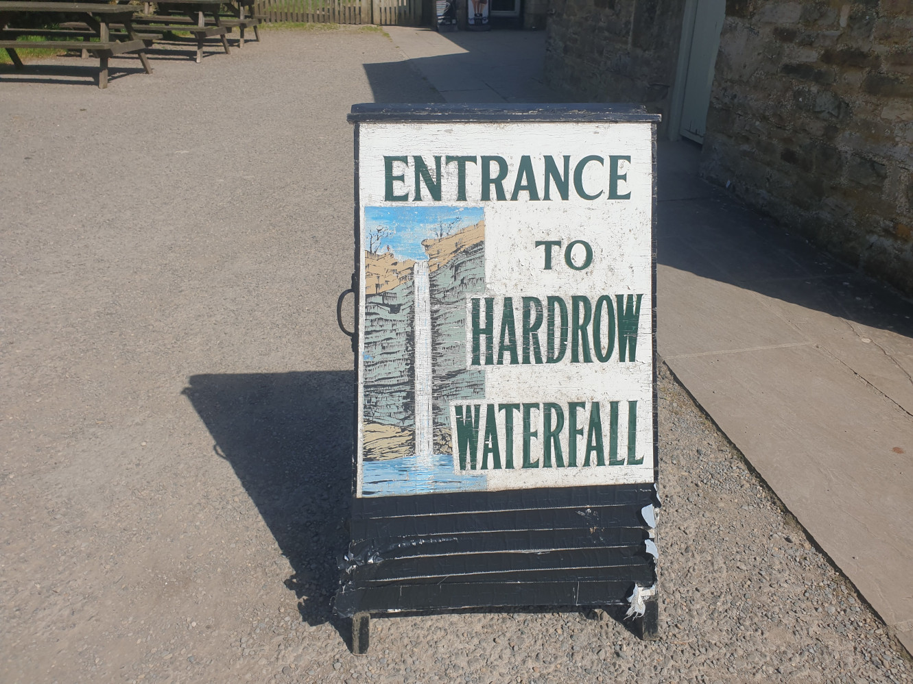
To get to the waterfall you need to pay the Green Dragon Inn at the visitor centre for entrance to the falls (currently £4 as of June 2026). Where you also get a small paper map of the various paths alongside either side of Hardraw Beck through the wooded area to the waterfall.
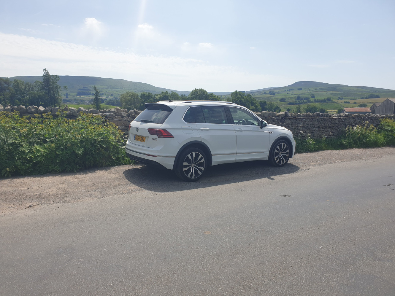
There is a small, free car park behind the Inn but I tend to park just along the road here.
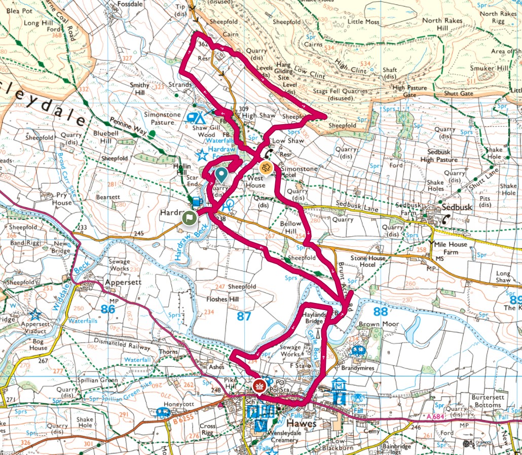
This route starts near the Green Dragon Inn, following the main footpath to see Hardraw Force. Then heads north, through fields and woods, up above High Shaw for some views across the valley. Then we head back down the hill and along the banks of the River Ure to the historic market town of Hawes.


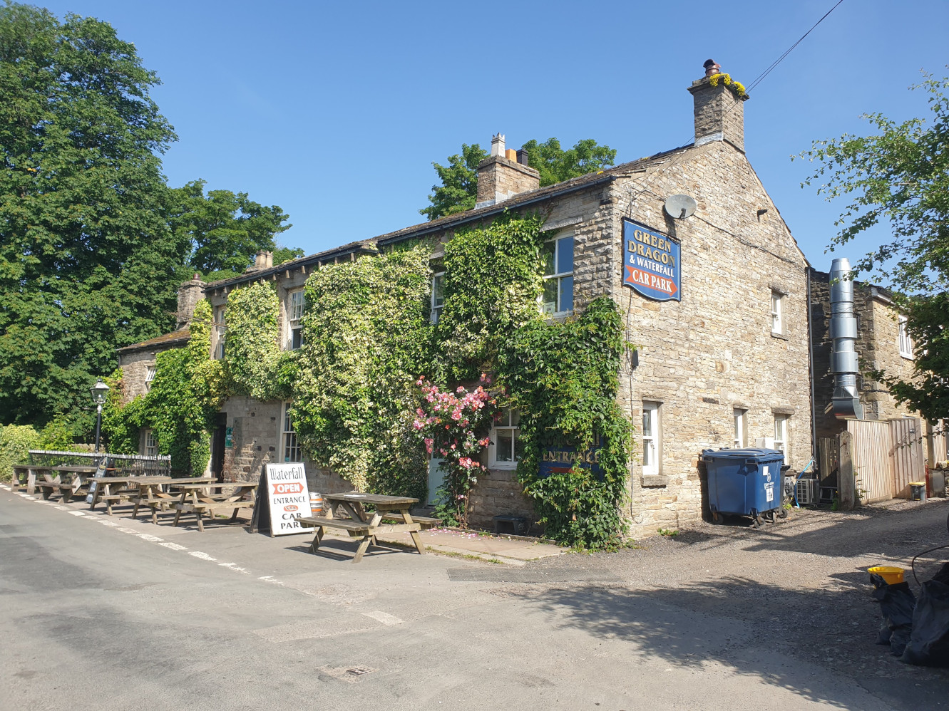
The Green Dragon Inn, with a small car park and a waterfall behind the Inn.
I always park at the side of the road.
A short walk back over the bridge to the Inn, following the road to the car park and beyond to the visitors centre.
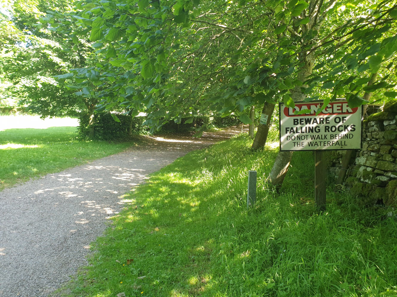
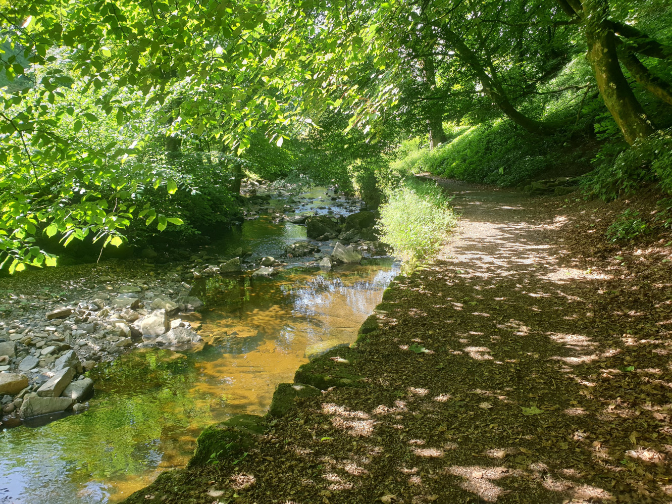
The path is a wide gravel track that is well maintained and follows the beck. Note the warning signs!
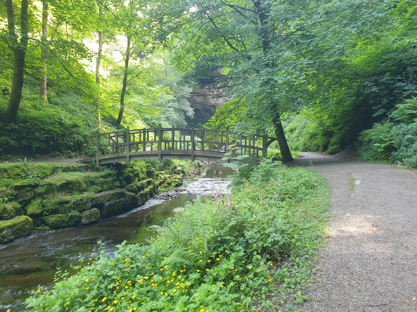
Keep to the right hand side of the beck, it’s not far to the waterfall. This footbridge is part of the route just after the waterfall visit.
Hardraw Force.
The view from behind the waterfall taken a few years ago, when the path behind the waterfall was safer, and allowed.
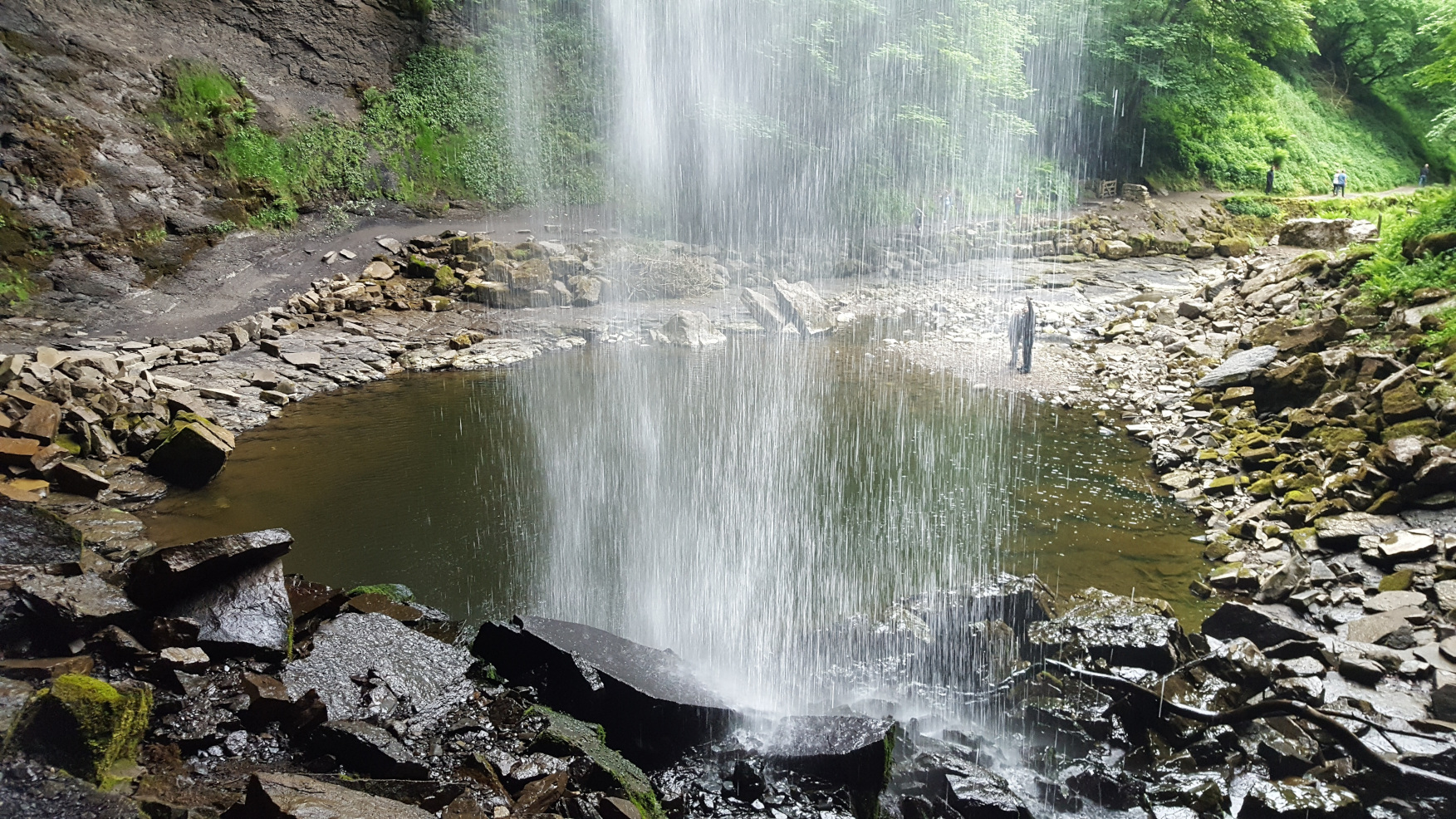
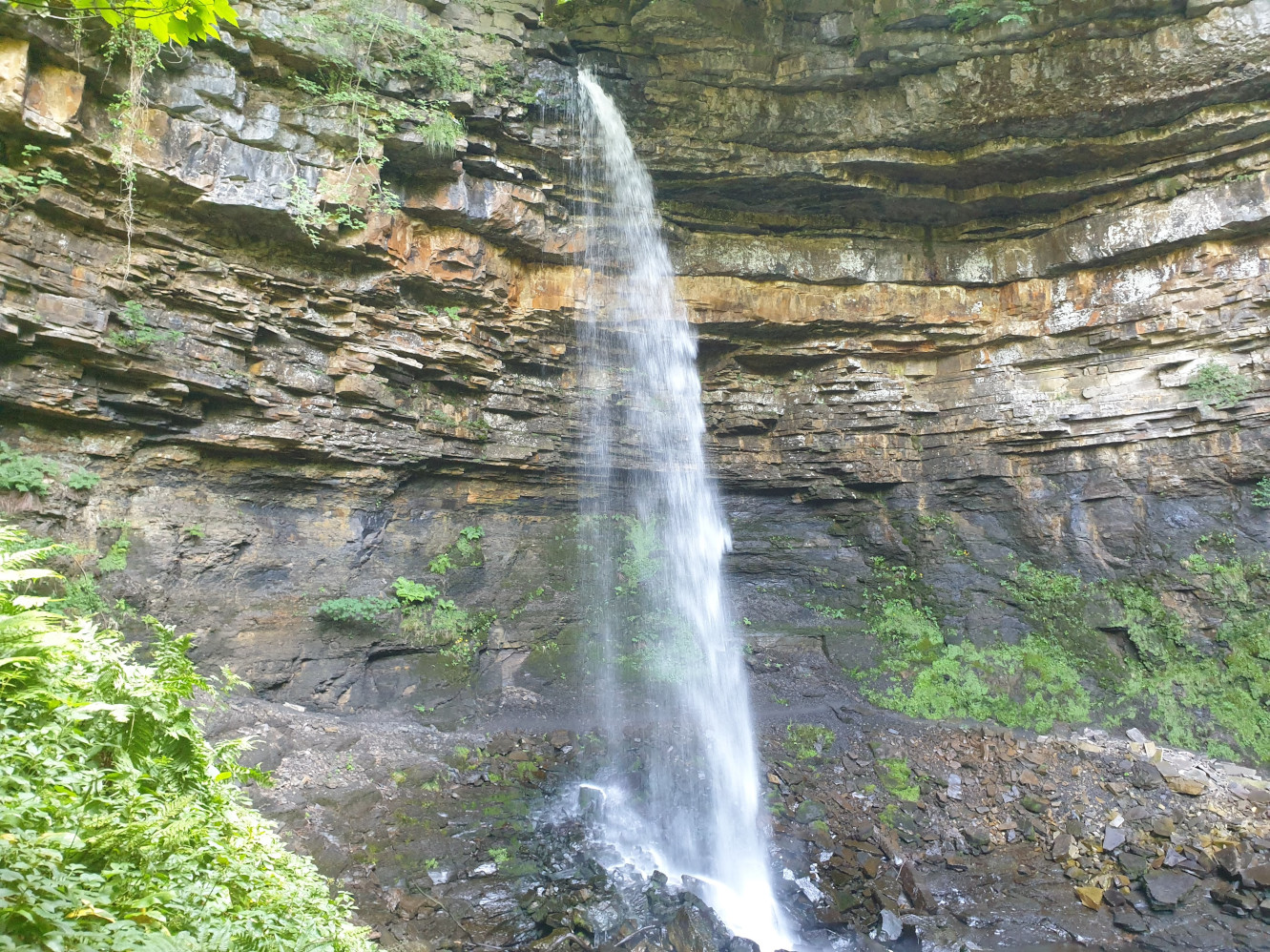
After checking out the waterfall its time to cross the beck and head up to the top path. The path can be a little overgrown and muddy. It heads up, near the waterfall to a wooded area and along the other side of the chasm with the beck on the left hand side. Finally, the path heads back down to the visitors centre and the Hardraw Force part of the tour is done.
Leaving the visitors centre, and on the left, between some buildings is the footpath which takes you uphill through some fields, past West House. Here is the view from the top of the hill showing the path on the right, heading alongside the drystone wall.
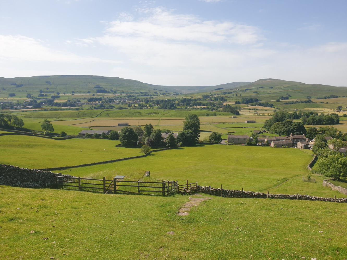
Follow the path past a barn and to this road junction which we’ll be seeing again on the way back.
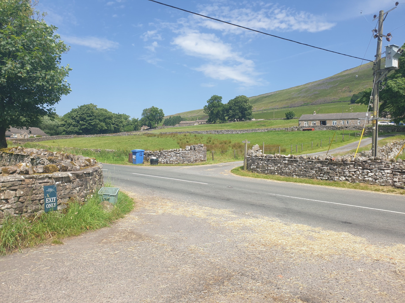
At the junction take the road on the left, west for a short distance. Leaving the road at the righthand bend, taking this footpath down a gravel path on the left.
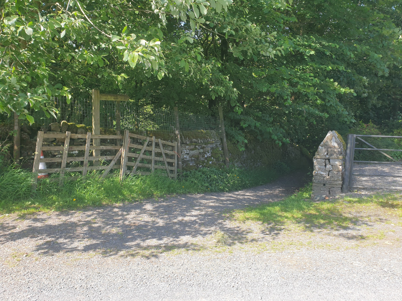
The path then heads through Shaw Gill Wood following Hardraw Beck, again. There are a few small waterfalls along the path and then a footbridge which leads up and out of the woods.
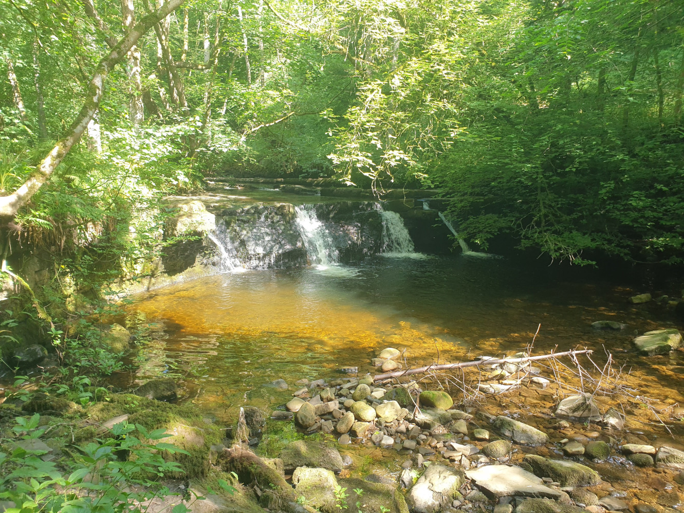
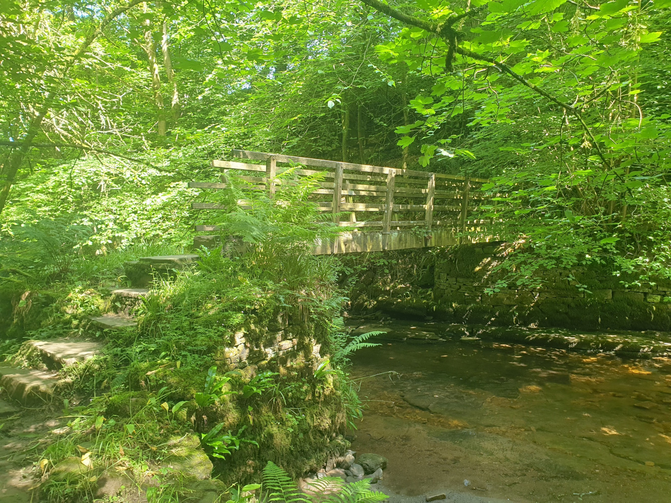
Leaving the woods the path joins an old tarmac road where you turn right, heading east for a short distance before leaving the road onto a footpath just before the stone cottages.
Now heading northwest through some fields with a caravan site a little downhill to the south. Keep following the path across the fields in a fairly straight line towards a large ladder stile seen here by the edge of the woods.
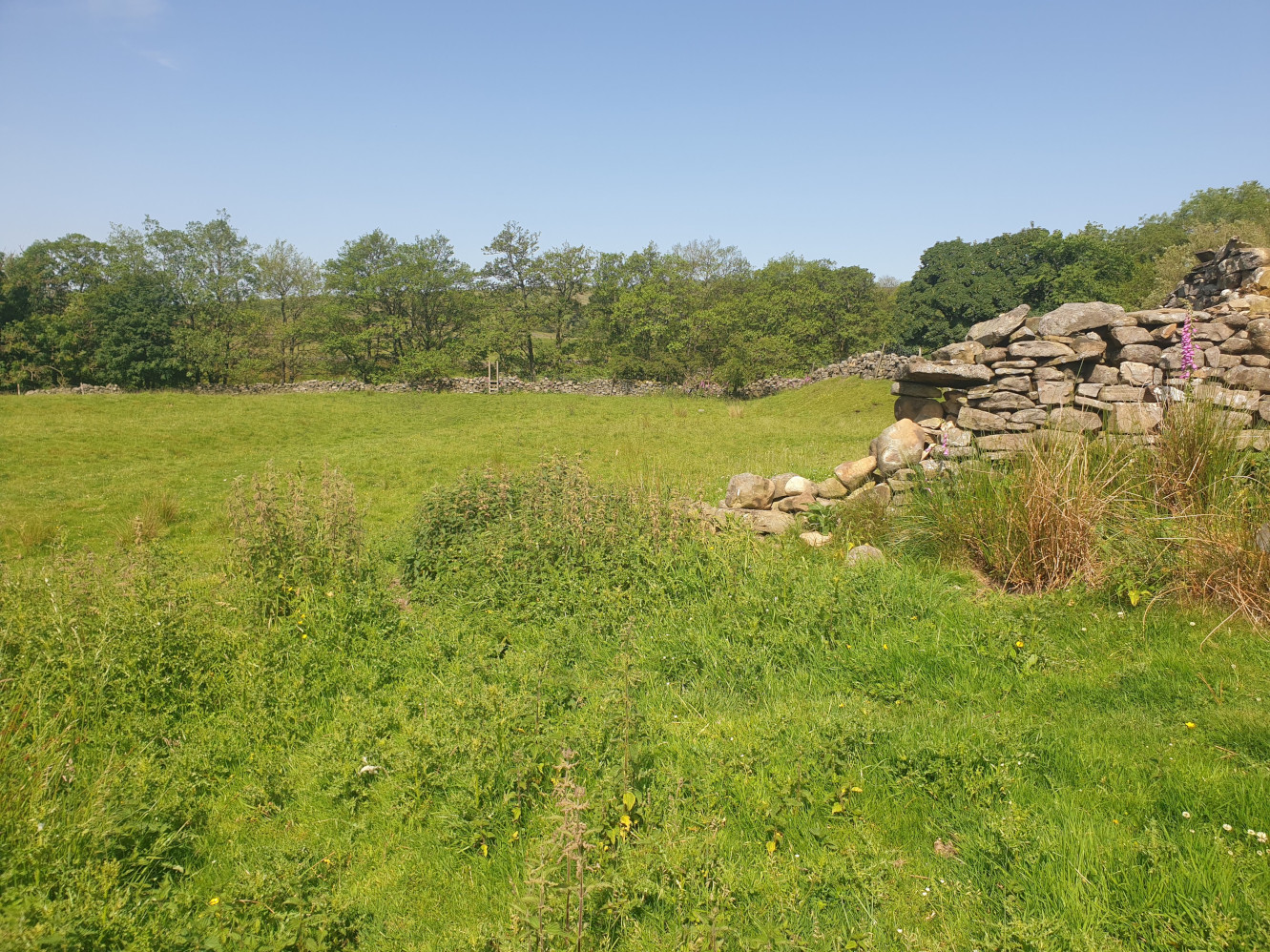
Climb over the ladder stile into a small wood, turning right and heading alongside the drystone wall uphill. At the top of the field, near the road, head through the gate in the top corner of the field and then through a small field to the road. This pic is looking back at the last part of the route.
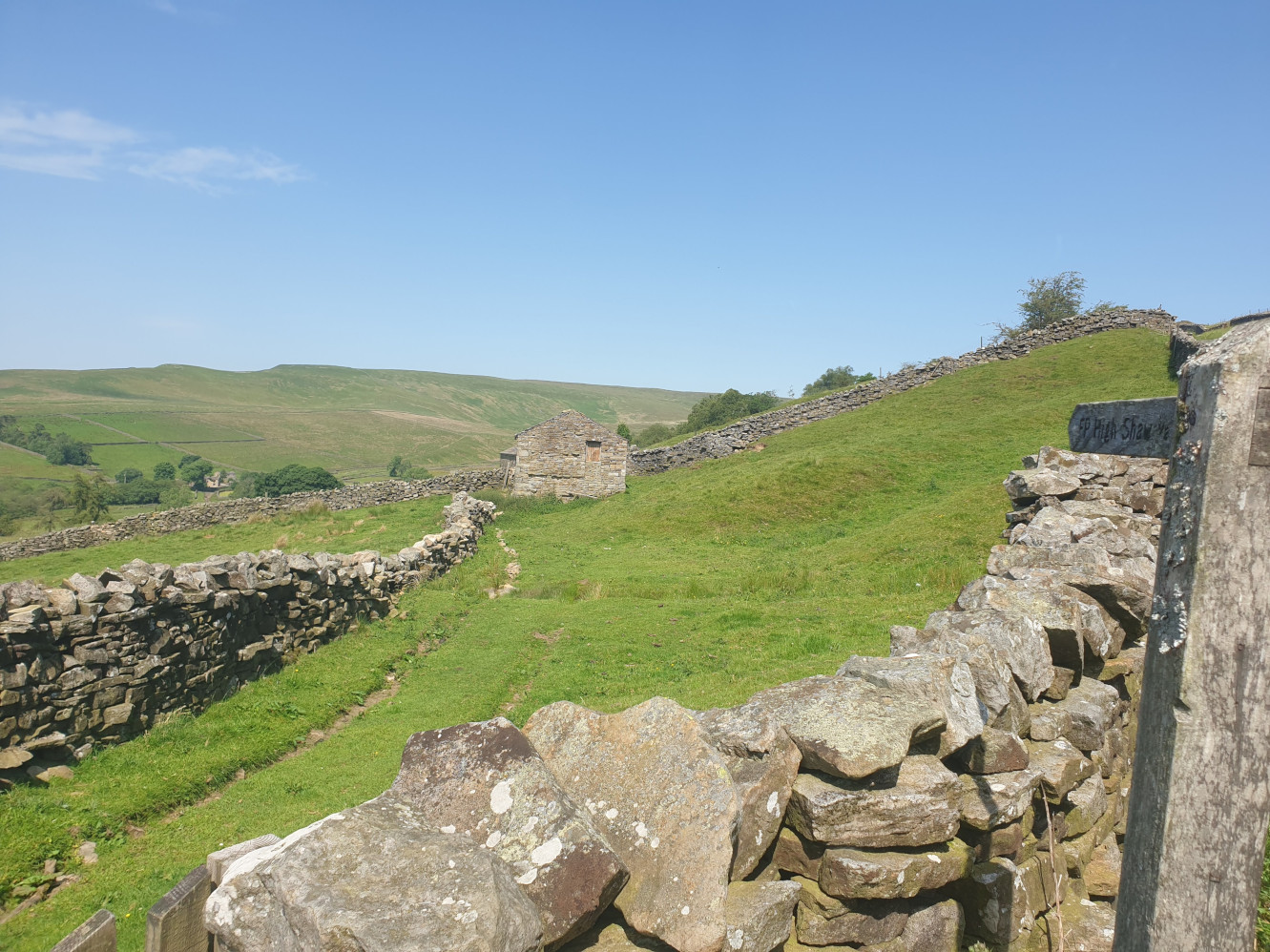
Follow the road east for a short distance then take the footpath off to the left. This grassy path heads along the side of the hill. The view of a Carin up on the top of the hill.
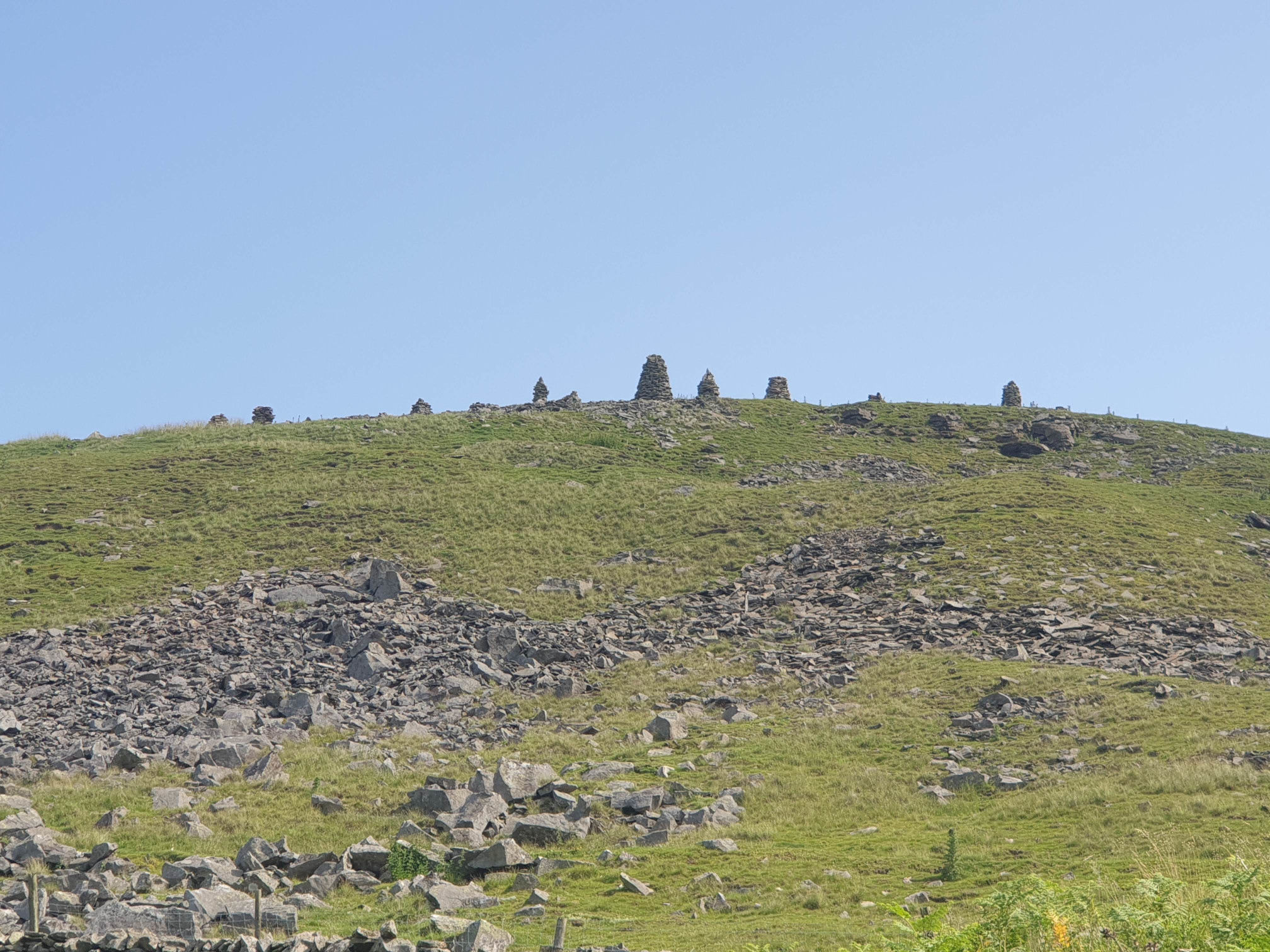
And the view over the valley including Shaw Gill Wood where we were earlier.
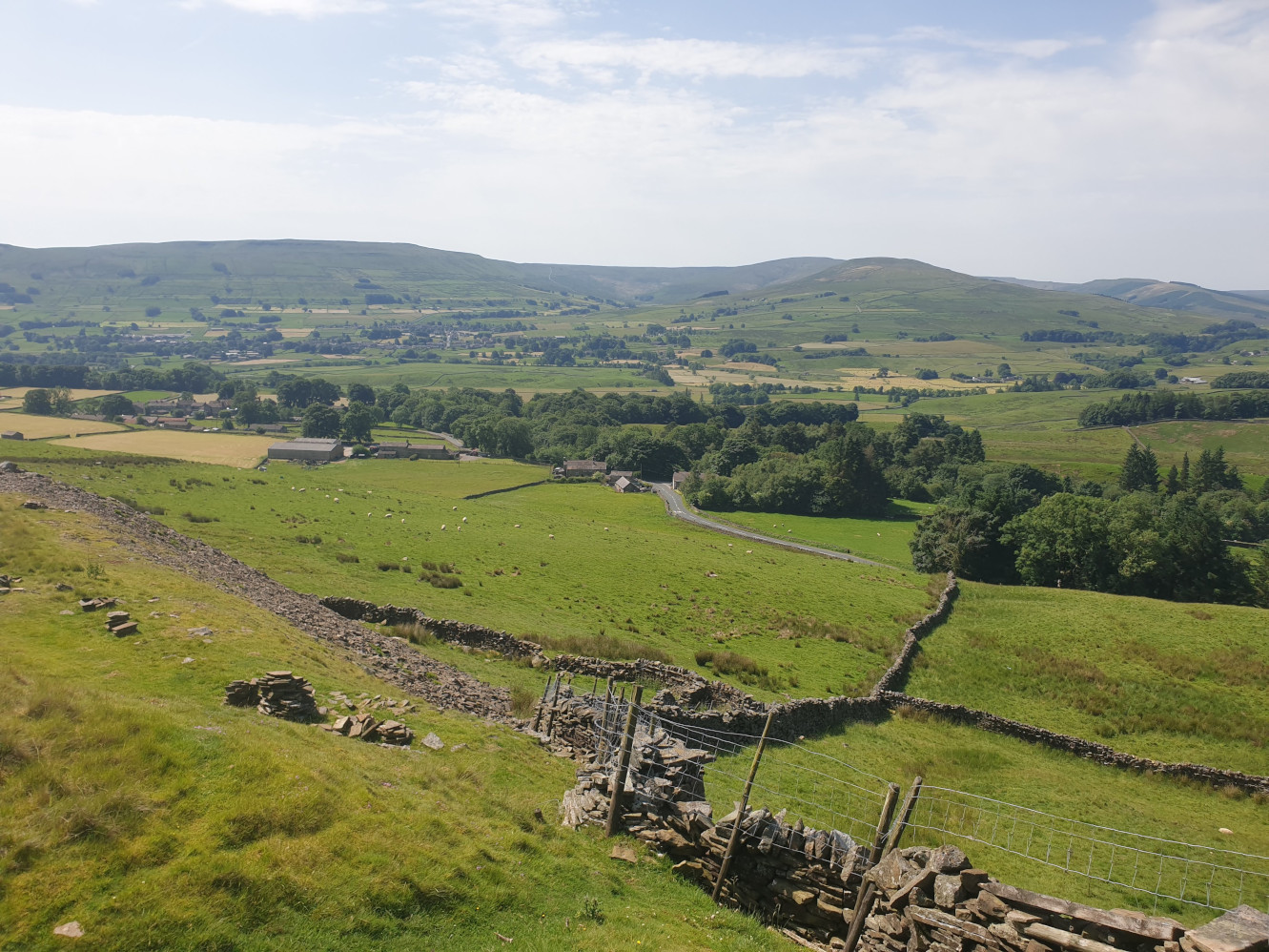
The path follows a grassy level path along the side of the hill. Along the way are a few piles of stones and some sheep.
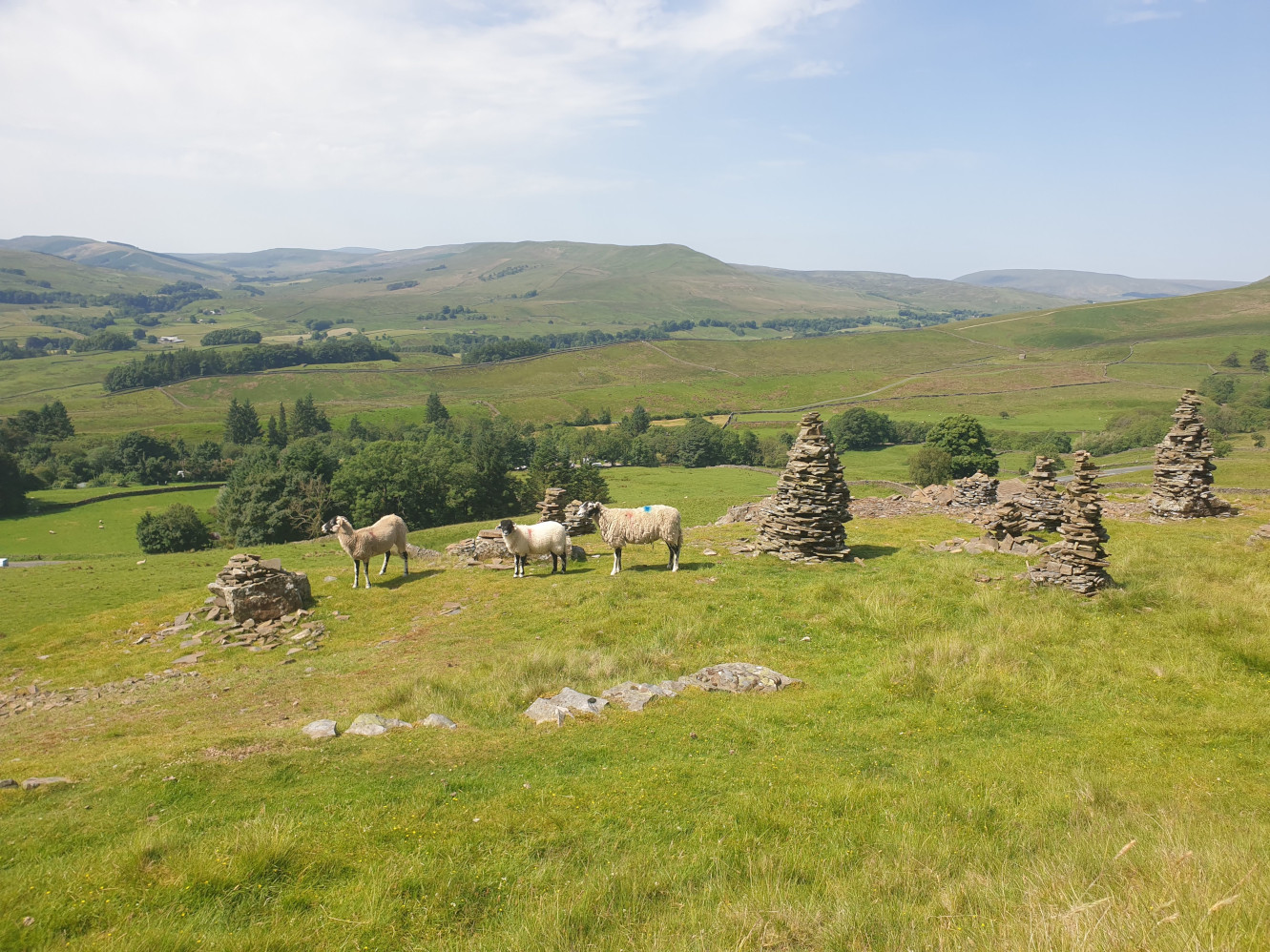
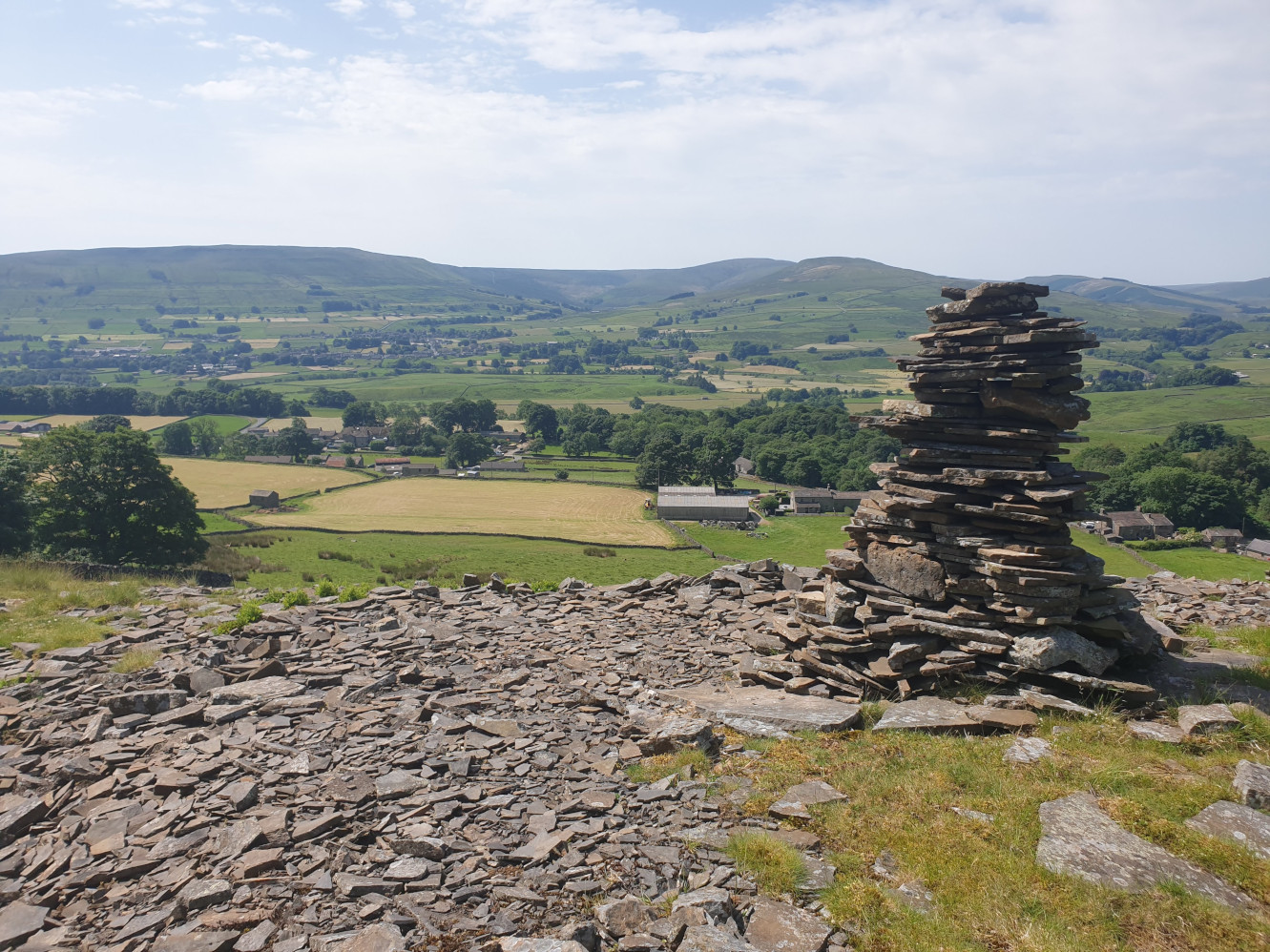
The pic below shows where the path turns sharp right into a U turn, downhill.
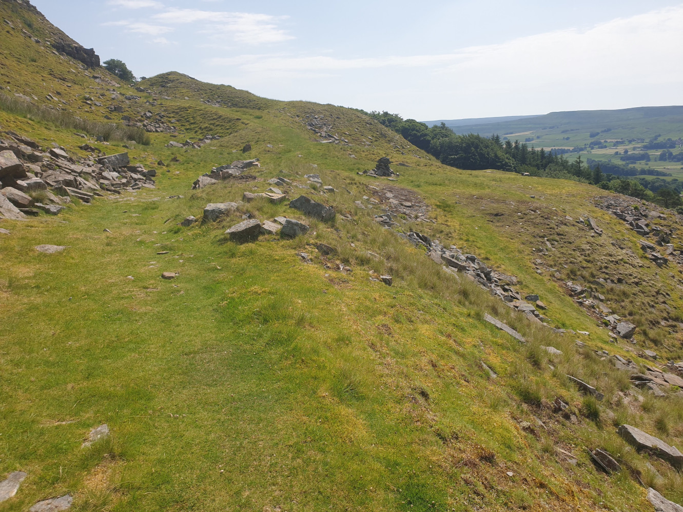
Then across a fields past Sheepfolds and alongside the wall to Low Shaw, between the two fields below.
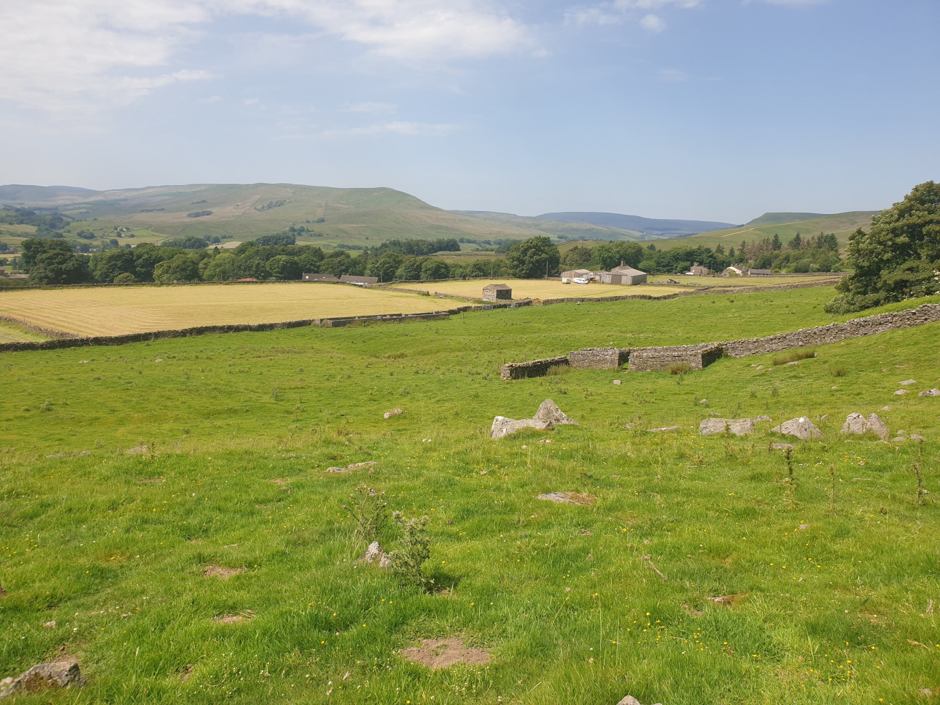
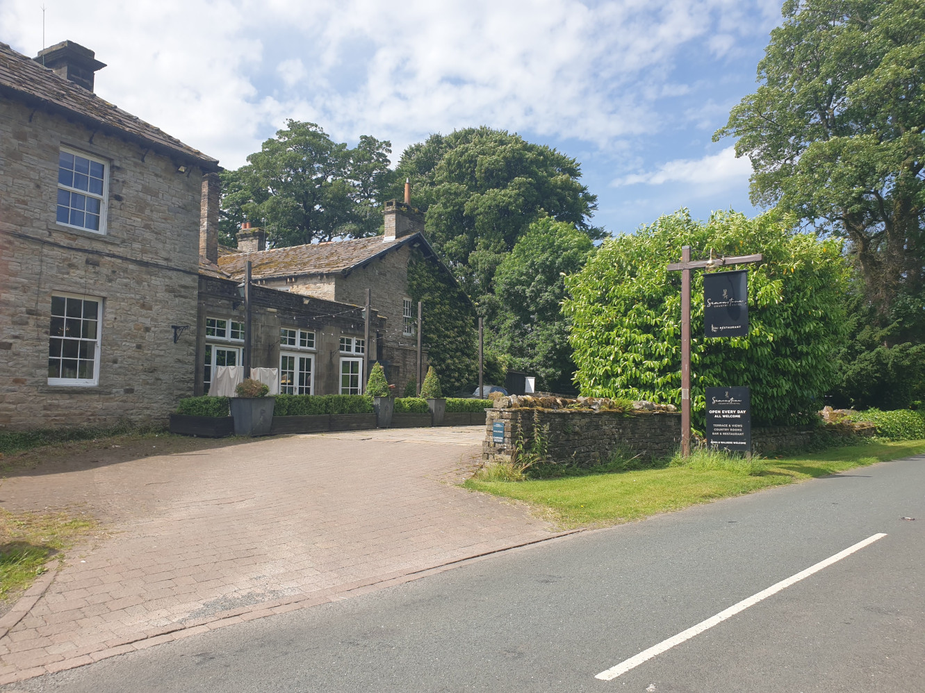
After passing the buildings at Low Shaw you’ll find yourself back at the crossroads road junction we were at earlier. Now its a bit of a trek along the roadside, not my favourite but the road is quite quiet. Turn left at the crossroads, heading east past Simonstone Hotel. Simonstone Hotel was made famous as Jeremy Clarkson gets plaque at hotel where Top Gear fracas took place.
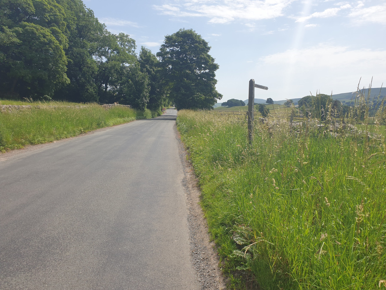
Following the road southeast for around half a mile you get to this signpost where we finally leave the road for footpaths (for a short distance).
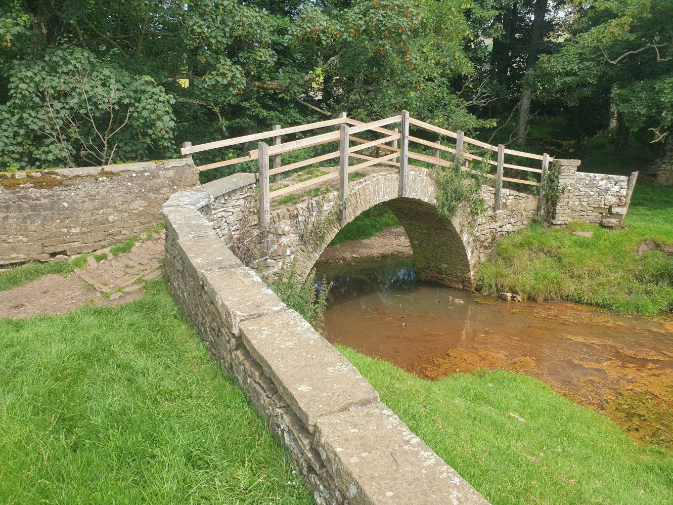
Crossing the field, in the bottom left corner is a gate which leads to Brunt Acre Road. Head along the road for a short distance, there’s a footpath to the left which is just a slight detour from the main route to see this little stone bridge. With duck and ducklings.
Then its a case of heading back down the path to Brunt Acre Road and carrying along the road, south alongside the river to Haylands Bridge where the road crosses the River Ure.
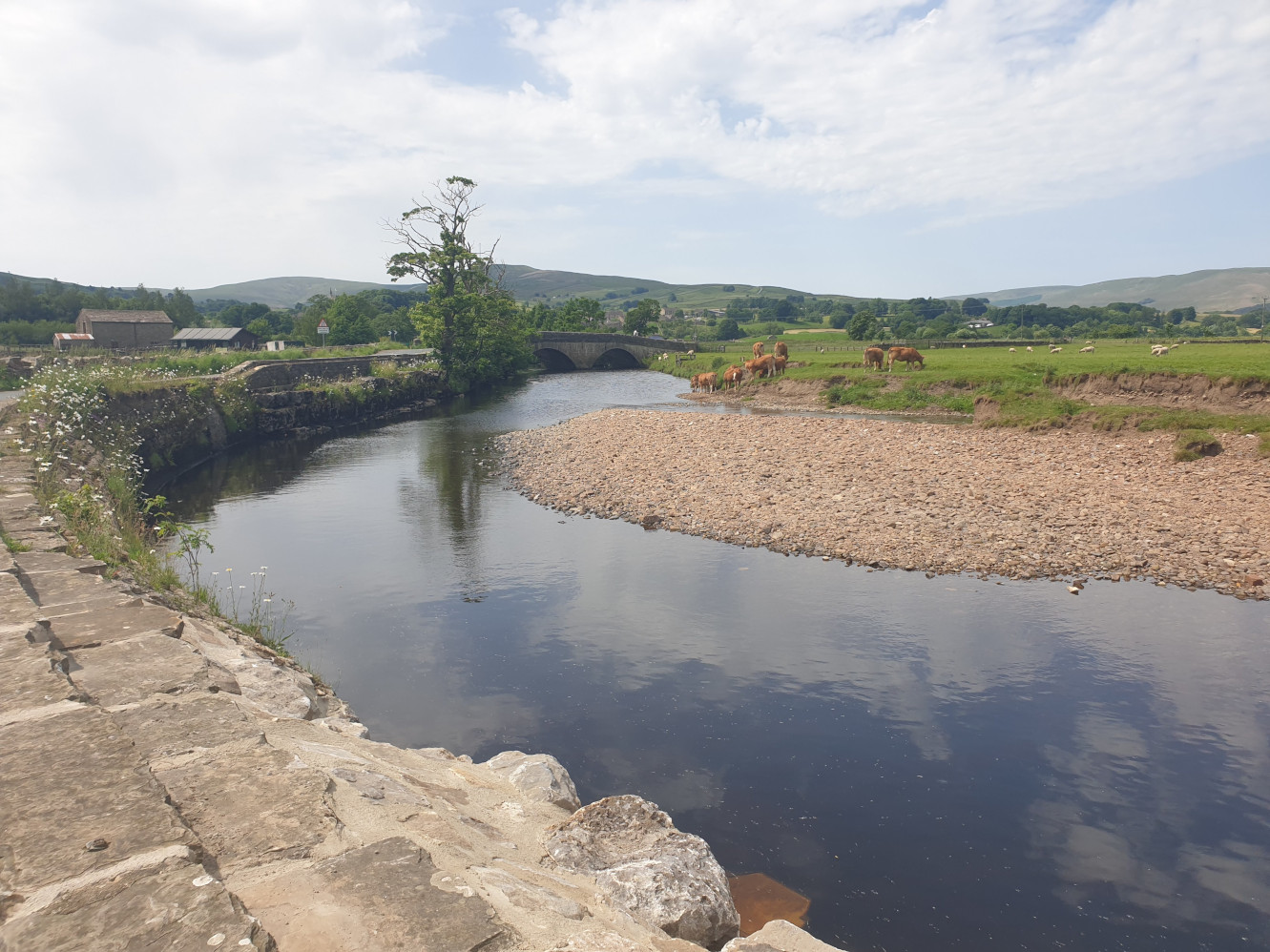
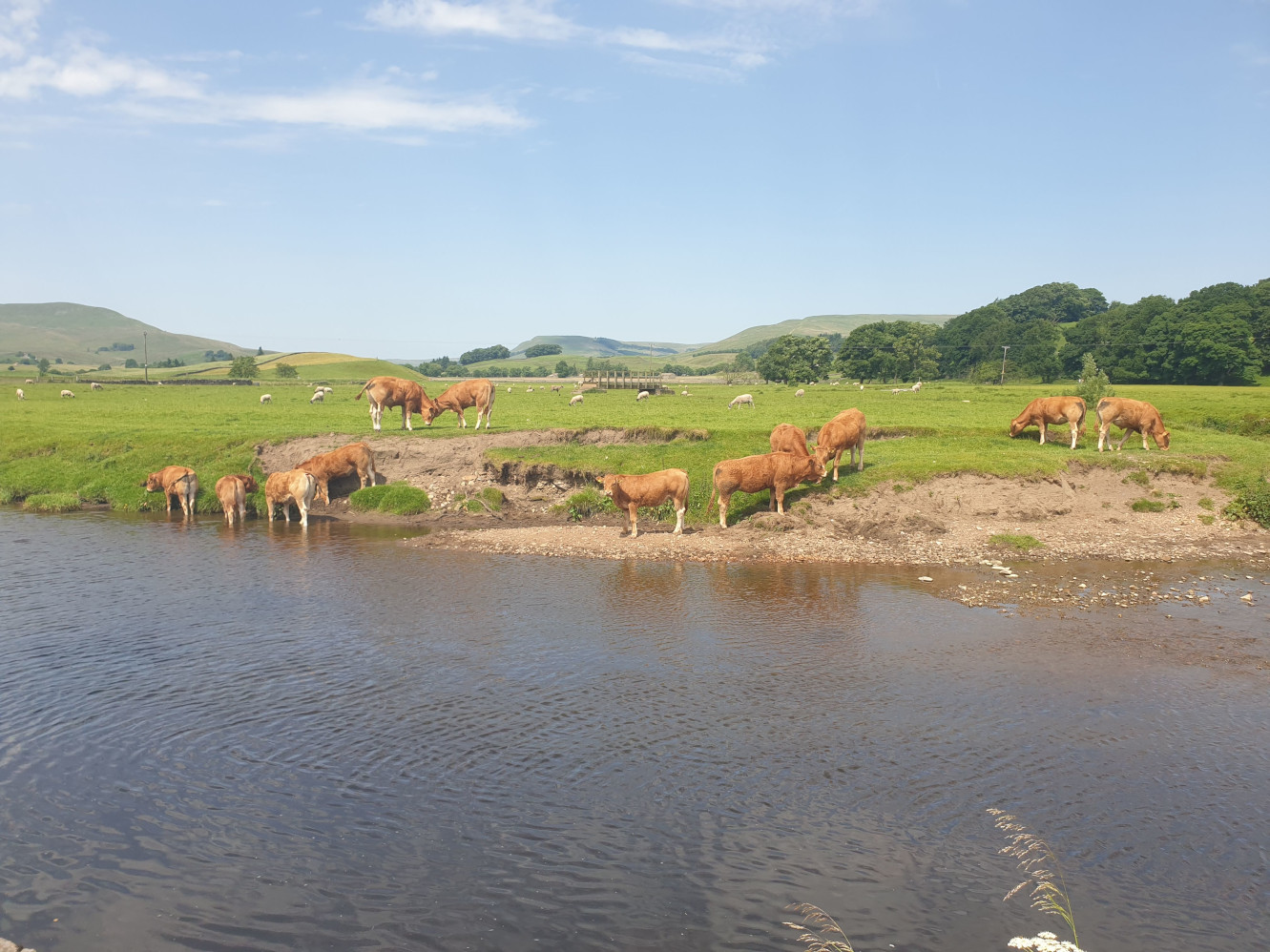
This view from the road before the bridge shows the field and, behind the cows and sheep, the footbridge we’ll be crossing soon.
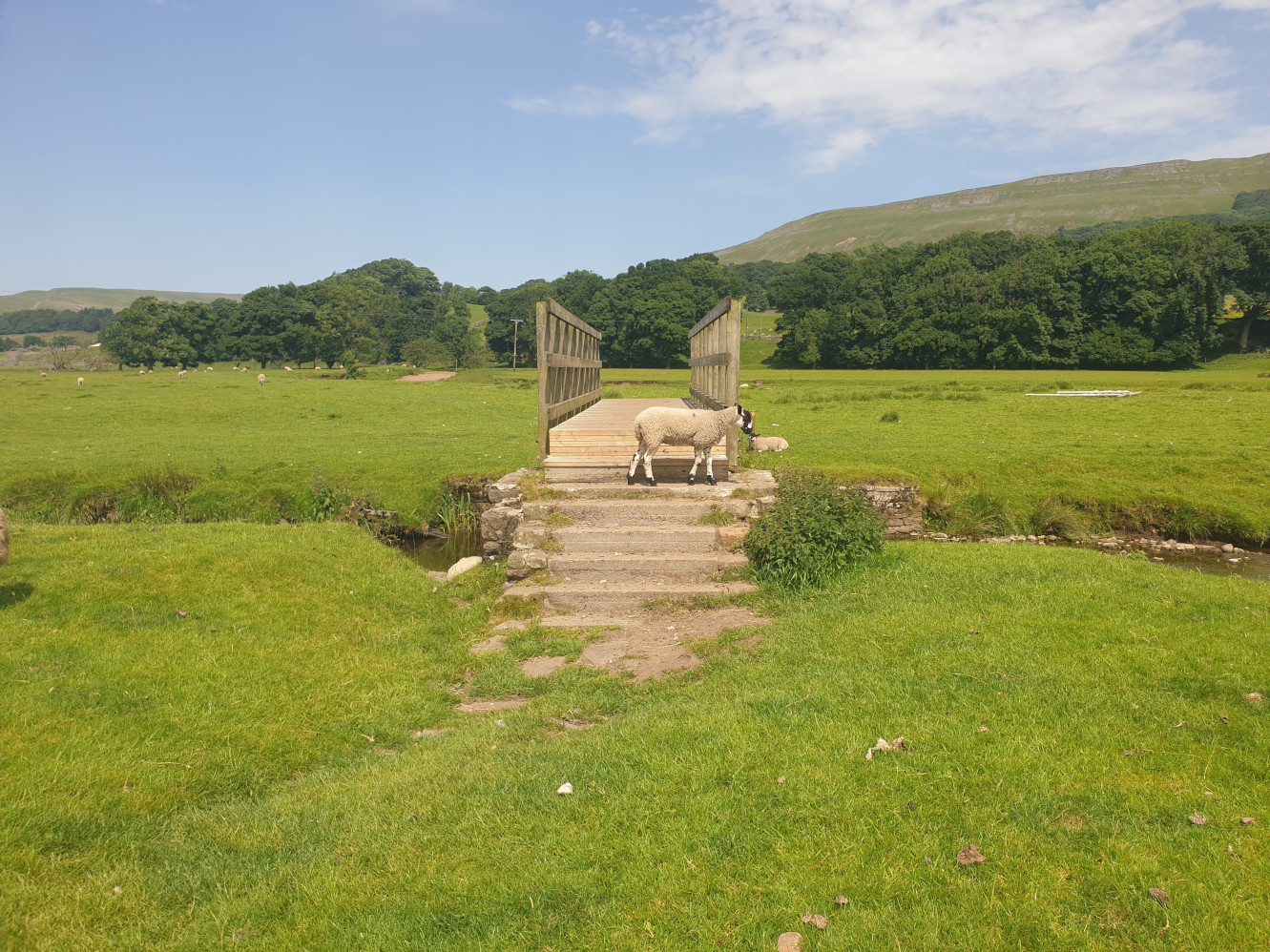
Just after crossing the road bridge is a footpath on the right which takes you into the field and across this heavily guarded footbridge.
The path crosses the field to the bank of the River Ure heading south.
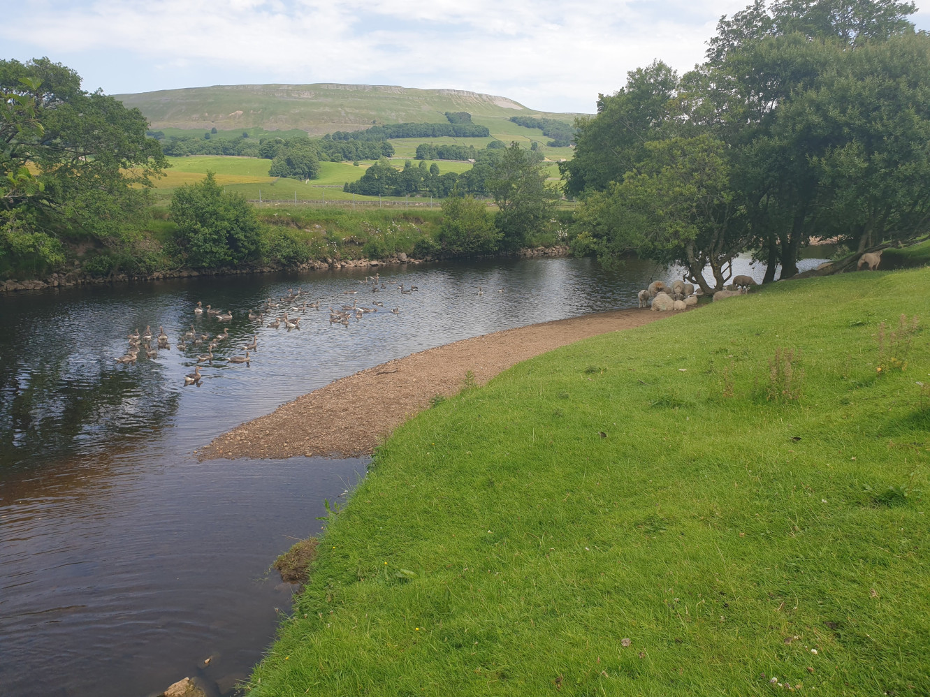
Follow the grassy riverbank path southeast, through a field of geese and sheep.
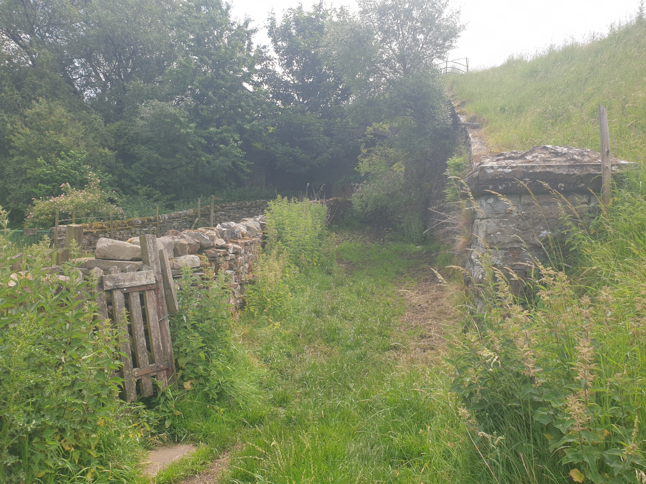
Just after the southernmost point of the river is a footpath to the left, follow this and look out for this small gate on the left as you approach the old railway embankment.
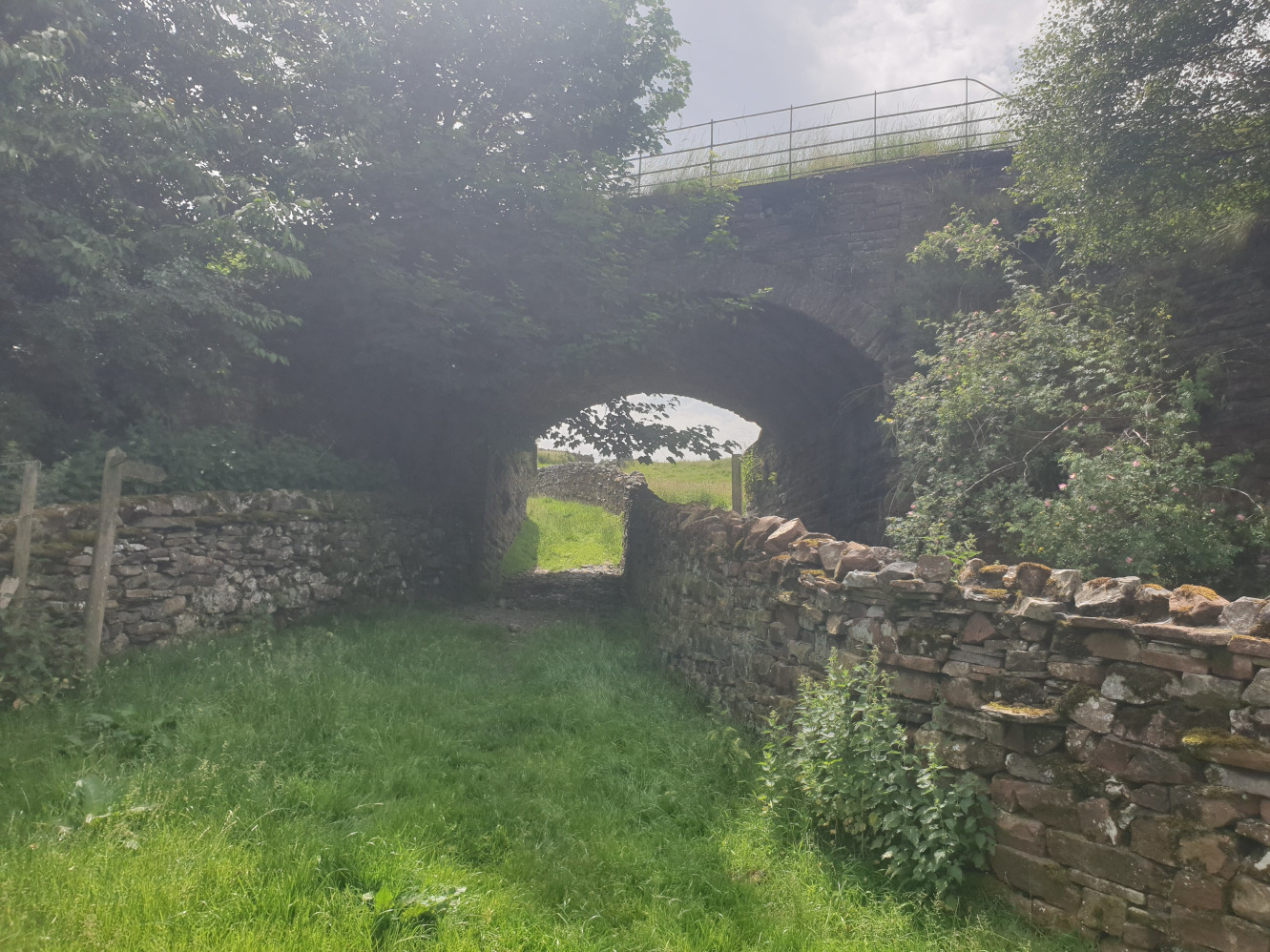
Head through the gate and pass under the bridge. If you miss the earlier gate you end up on the wrong side of the wall which is a cow path into the field which is covered in “mud”. Make sure you’re on this side of the wall!
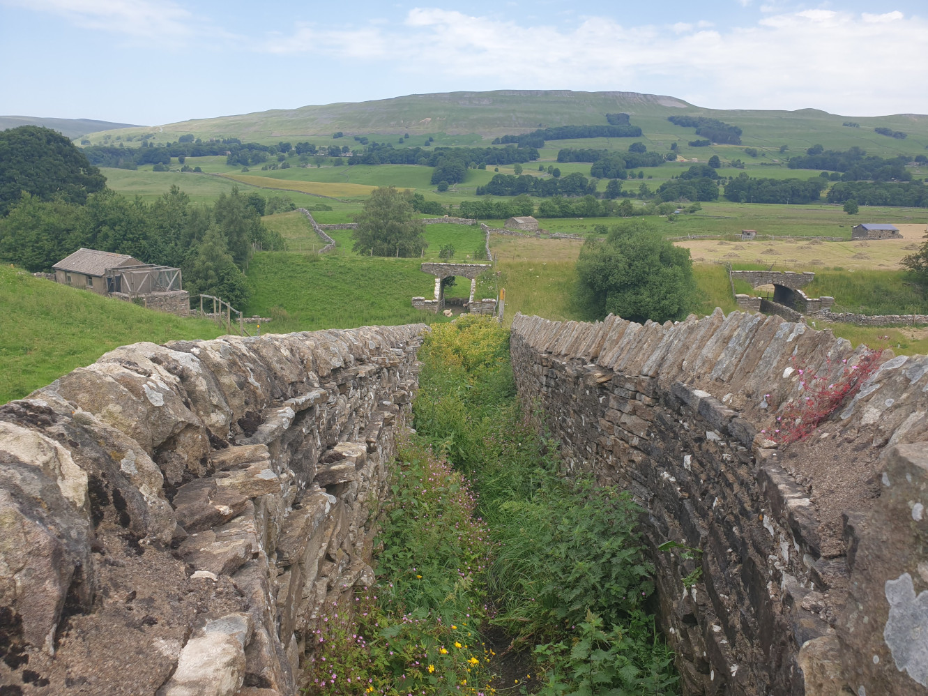
In the OS Maps screenshot near the top of this writeup we’re now at the point with an overgrown path icon on the northern edge of Hawes. Here’s the overgrown path.
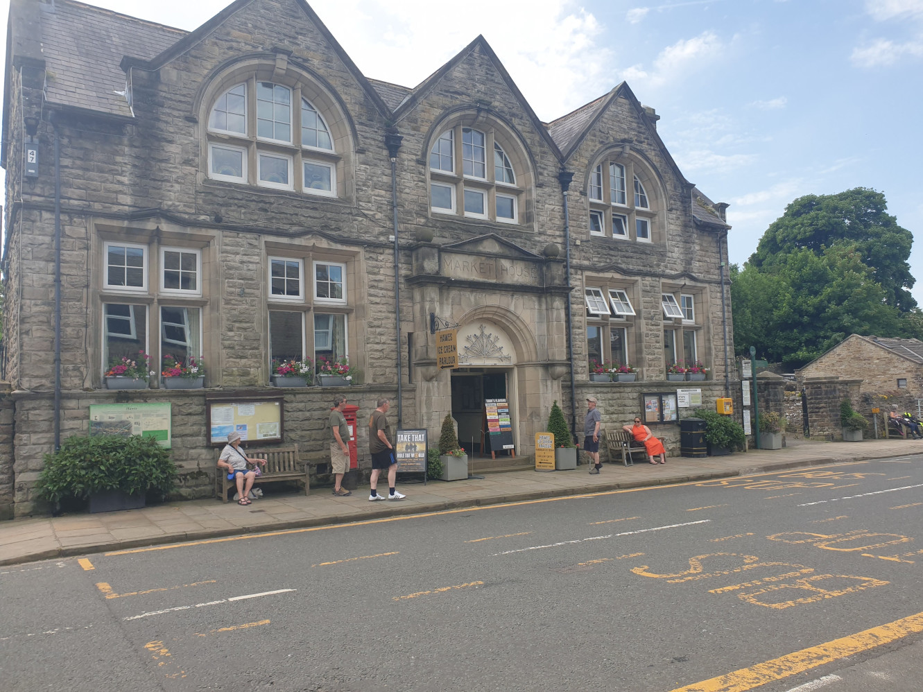
Passing through the undergrowth you get to the main street of Hawes, Market Place. Here at Market House was a very welcome ice cream shop.

Take some time to visit the shops and eateries of Hawes, the Wensleydale Creamery is a short walk south from the main street – not covered in this route. This route heads east along the main street and over the road bridge for this view of the falls at Gayle Beck.
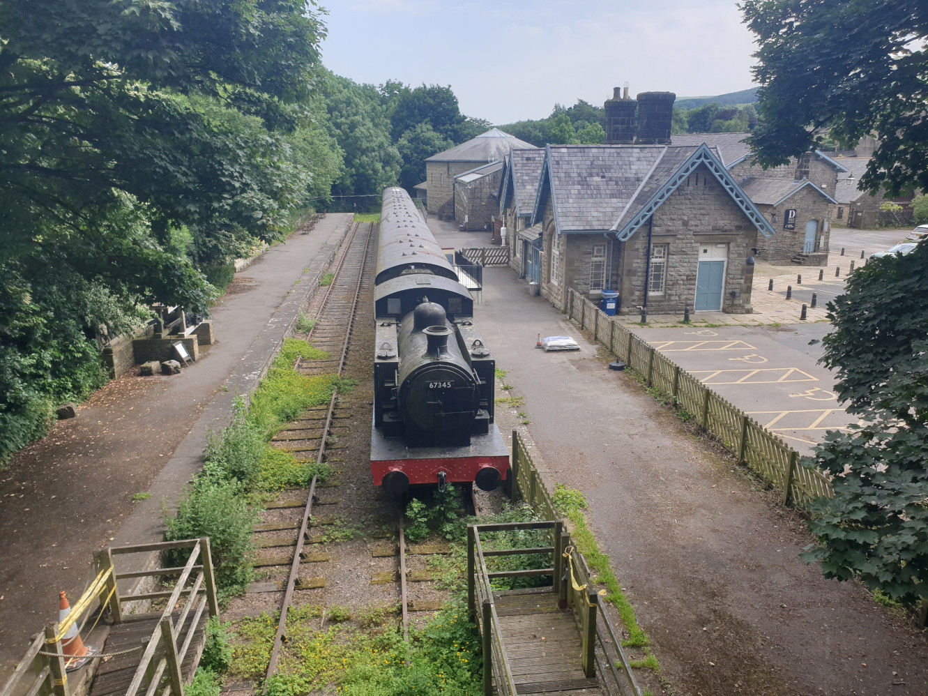
Follow the main road which bends left, heading north and after a short distance crosses an old railway line.
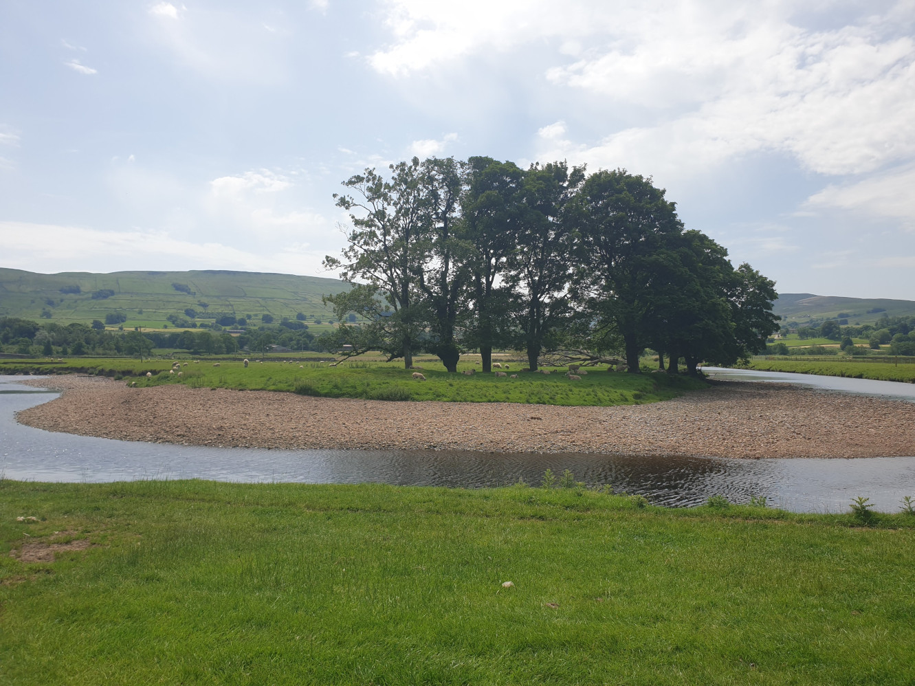
Here we’re following the Pennine Way for a while, from road to stone path and back to road crossing back over Haylands Bridge. Where the road follows the river, take the first footpath on the left side of the road as the road leaves the side of the river. The path then heads west, along the northernmost bend in the River Ure in a straight line. At first crossing a field by the riverbank and then joining the Pennine Way path.
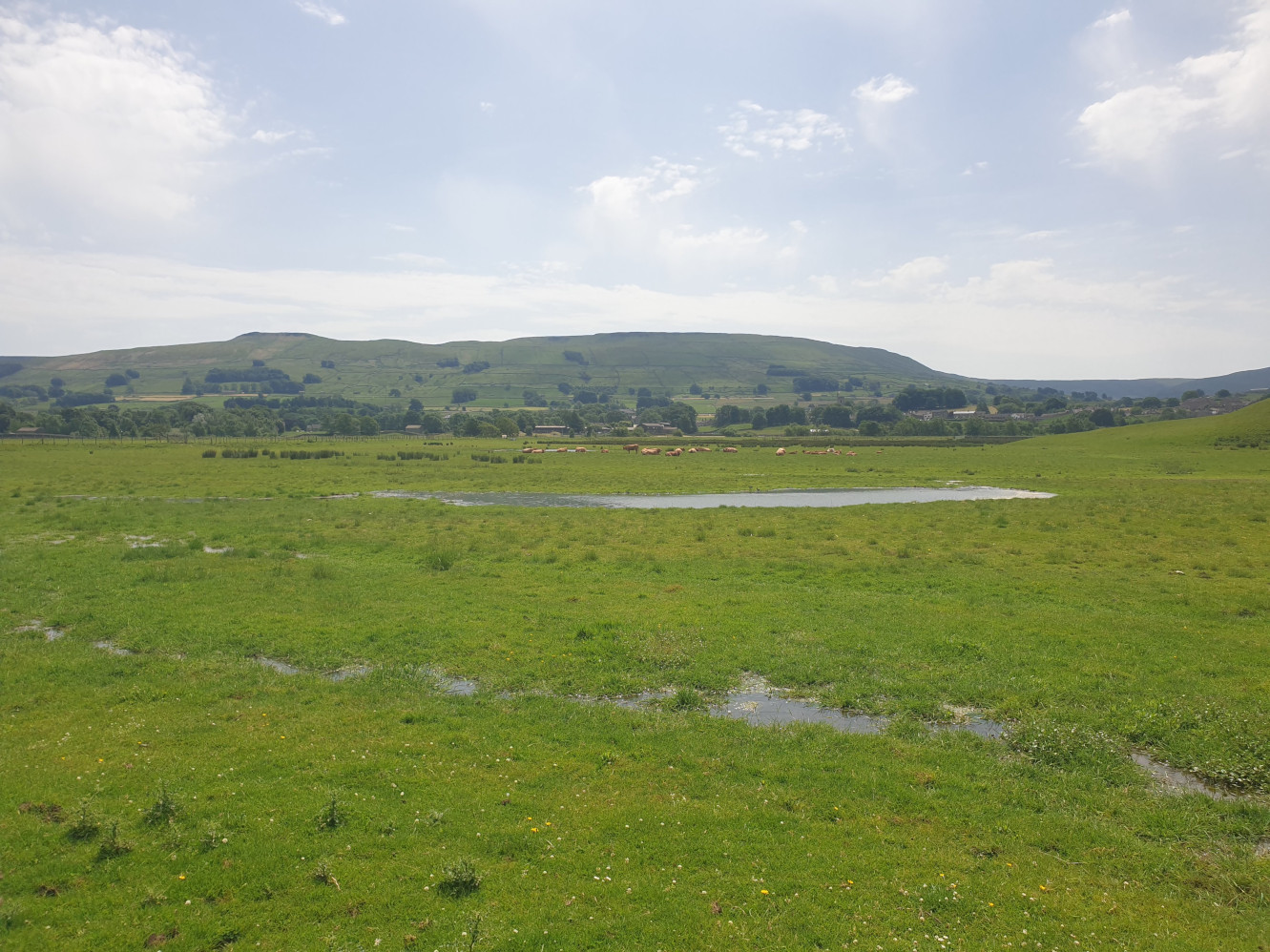
The path heads in a straight line for around a mile.
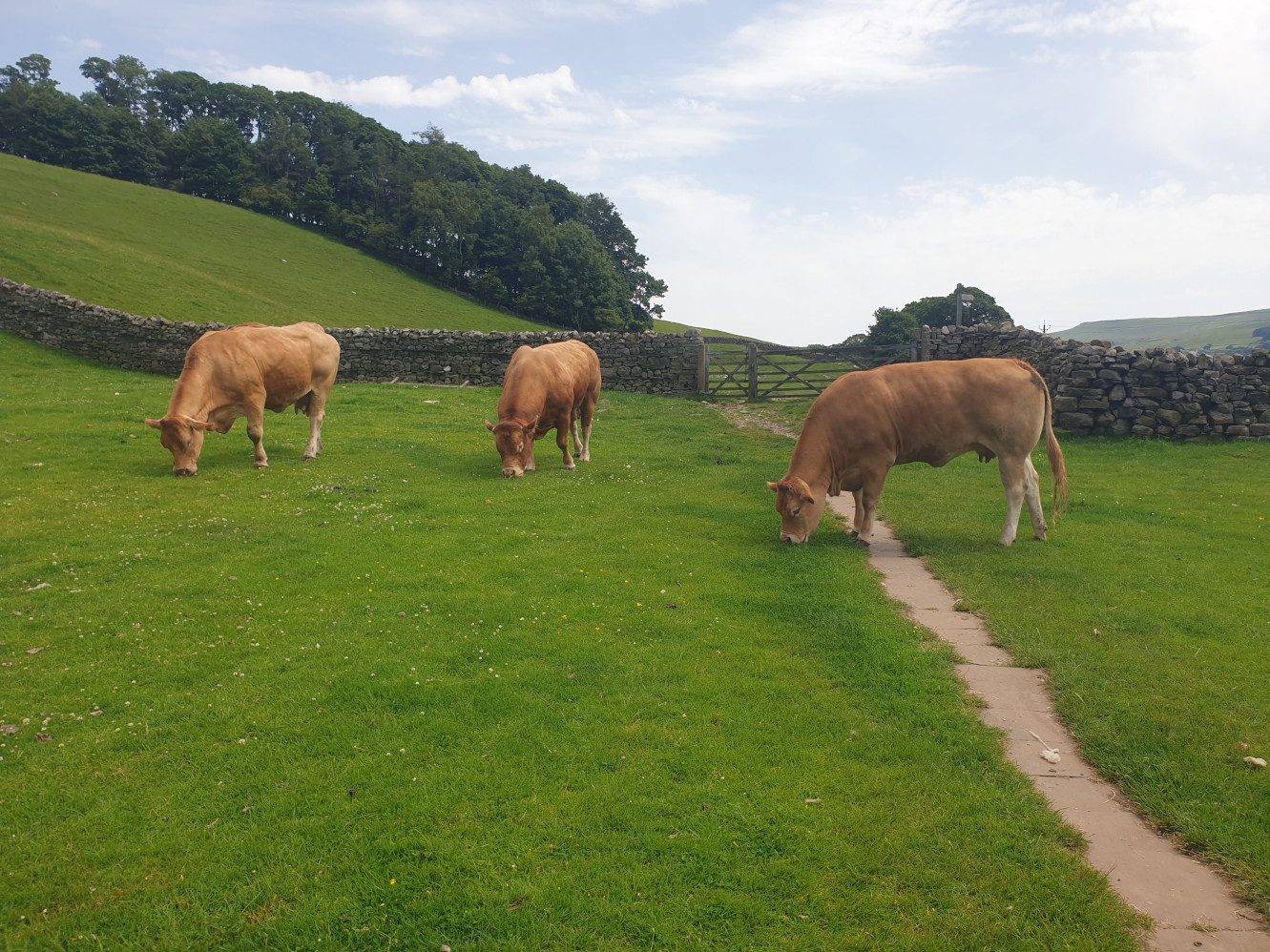
As we approach Hardraw, one final look back at the path.