
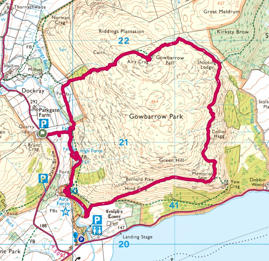
With Aira Force being a popular place to visit there are a couple of car parks. I chose to leave Tiggy at the quieter Aira Force High Force car park a little away from the main car park which is by Aira Force.
Starting with quite a steep uphill climb to the top of Airy Crag, the hike consists of a gravely dirt path for most of the way. It’s only when you get near the end, close to Aira Force and amongst the trees that the terrain turns more to a dirt path. The route loops up and over the hill in a clockwise direction with the last part of the loop giving great views over Ullswater.


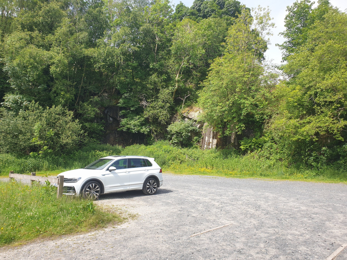
The quieter Aira Force High Force car park. Which is pay and display and in June 2026 I paid £8 for up to 4 hours parking.
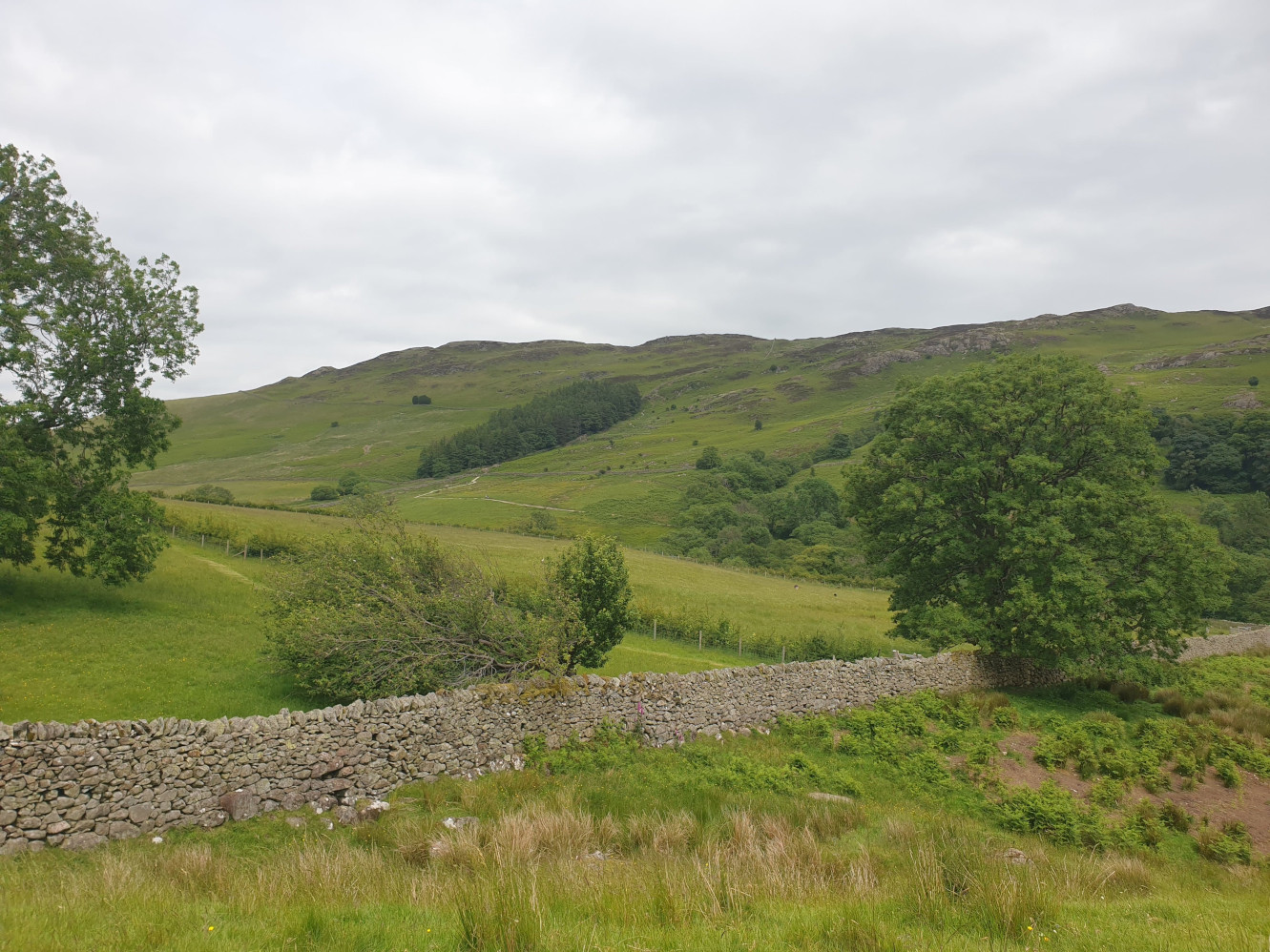
Crossing the A5091 by the entrance to the car park you get the first view of the uphill part of the route. The path heads uphill by the small wooded area in the middle of this pic.
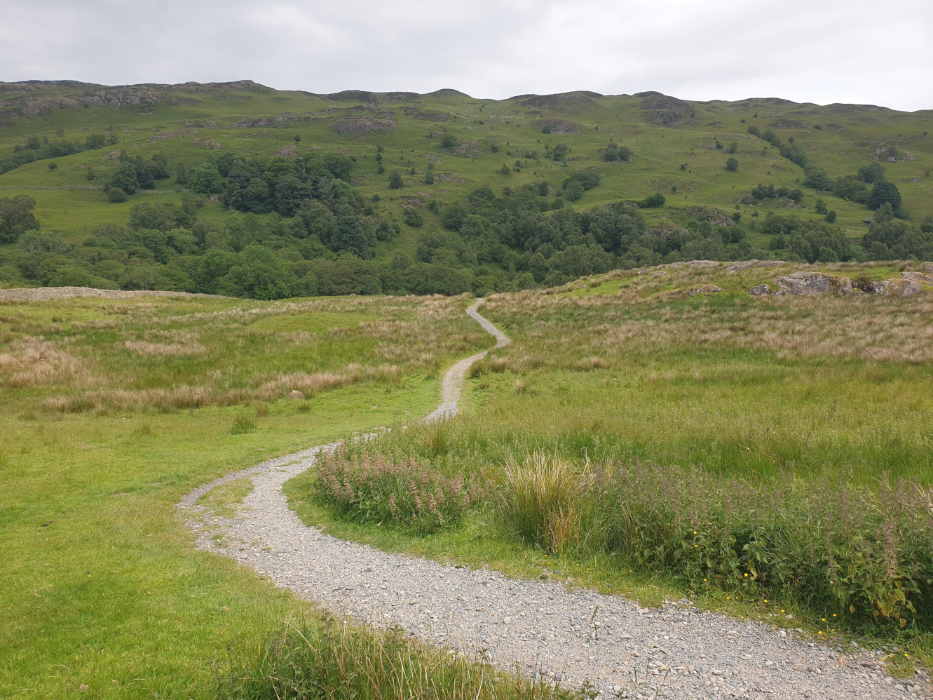
The hike begins! Cross the road and head through the wooden gate, following the gravel path towards Aira Beck.
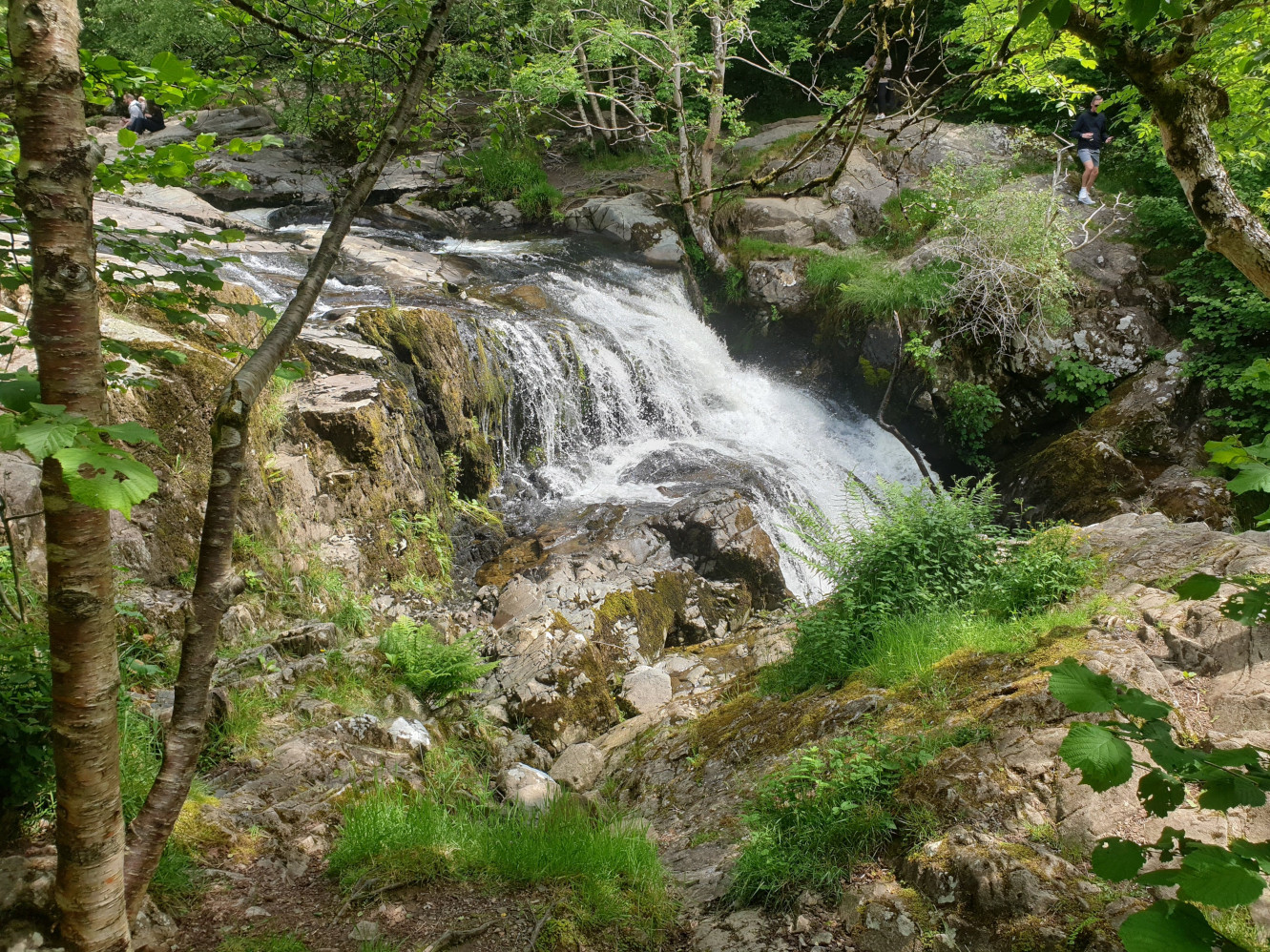
As you approach the falls you can hear the water of Aira Beck, there are a couple of waterfalls to take in. With the hike being a loop we’ll be seeing the falls again, in a few hours.
Cross the footbridge over the beck by the falls and follow the stone path north through a small wooded area and a couple of fields.
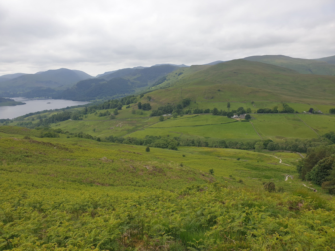
The path then turns east, uphill, alongside a drystone wall and the small wooded area mentioned earlier. This picture was taken halfway up the hill (I needed a breather) looking back at where I’d been with the car park and Tiggy the tiny white dot in the middle of the pic.
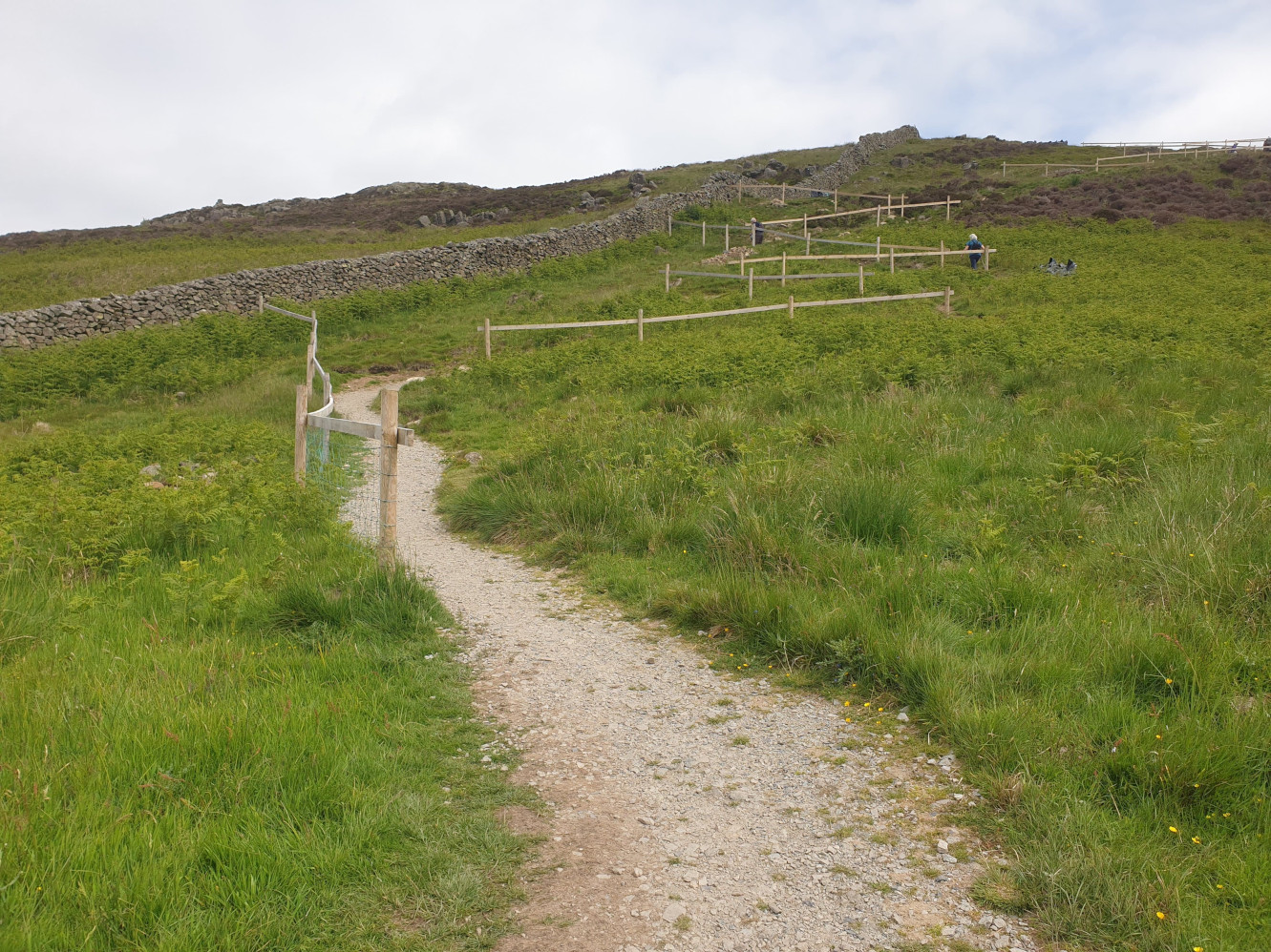
To emphasise the steepness of this path it follows multiple switchbacks. With what I belive is fencing to stop people attempting shortcuts, rather than them being handrails.
Take your time and have a rest/photo break when needed. Eventually the path leads youto the top of Gowborrow Fell, Airy Crag and the first view of Ullswater.
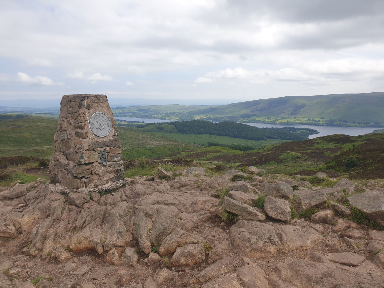
Take in the panoramic views and when finished its time to head back down. Head back down the path you used to reach the trig point for a short distance and then head east along this gravel path with the Crag on your right.
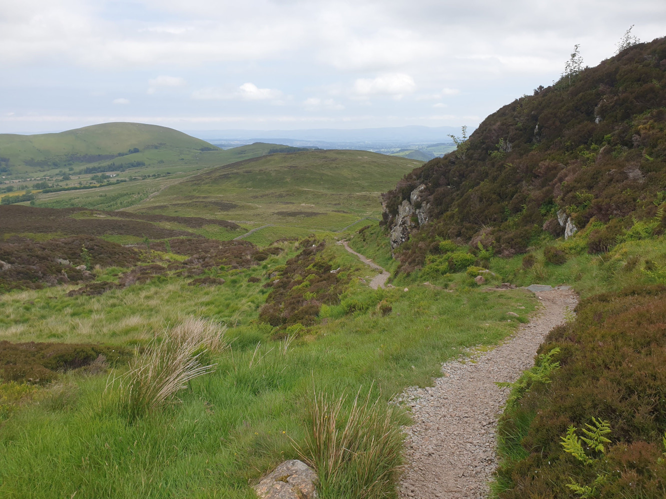
The path is mainly gravel but depending on the weather there was a boggy bit here and there to bypass.
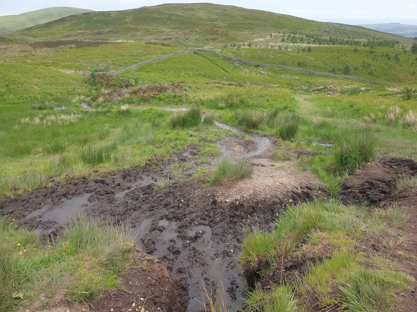
Following the path you start to turn south, heading around the hill for a closer view of Ullswater.
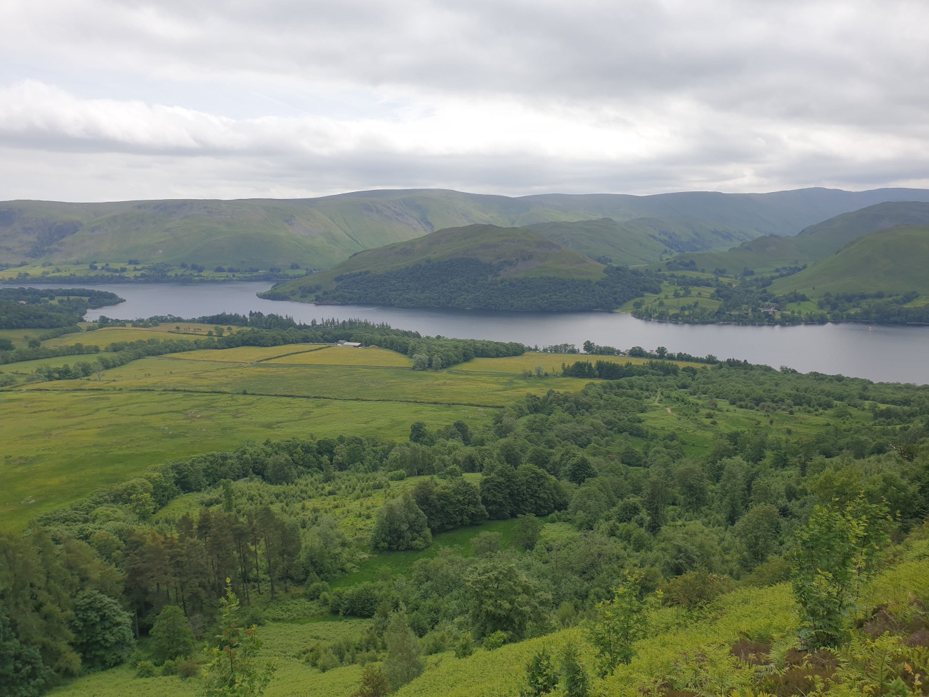
The route then heads west, parallel with the banks of Ullswater.
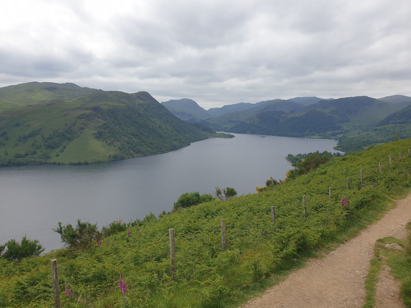
In some parts the path has a slightly steep drop off but the path is well defined and level with plenty of space.
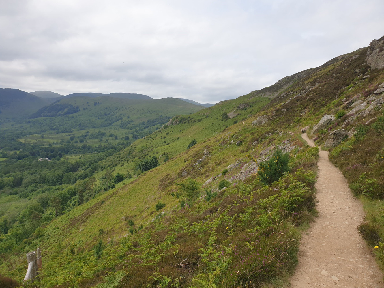
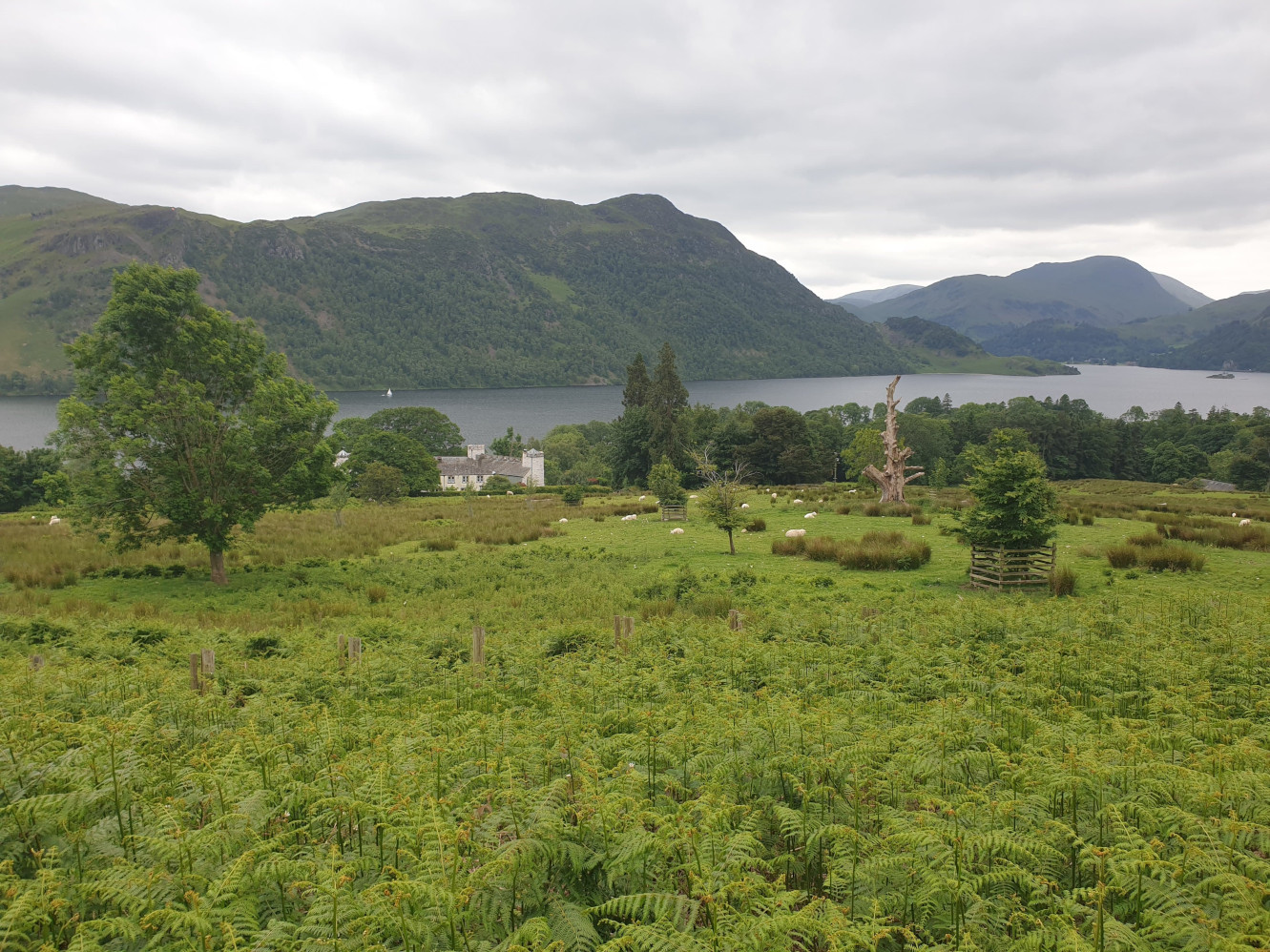
Continuing west along the path as you get closer to Aira Force there is a lovely white building near the shoreline on the OS Map as Lyulph’s Tower.
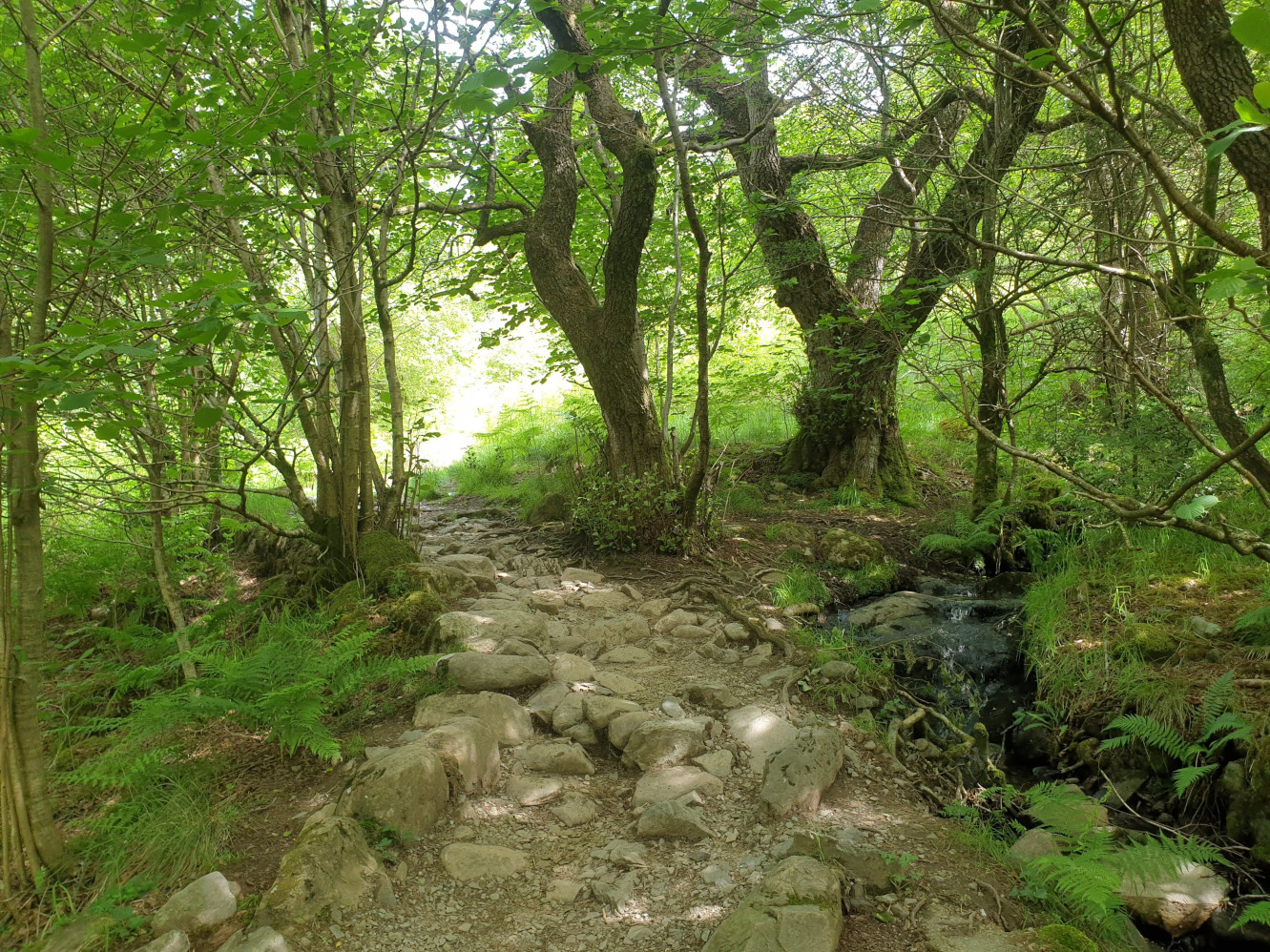
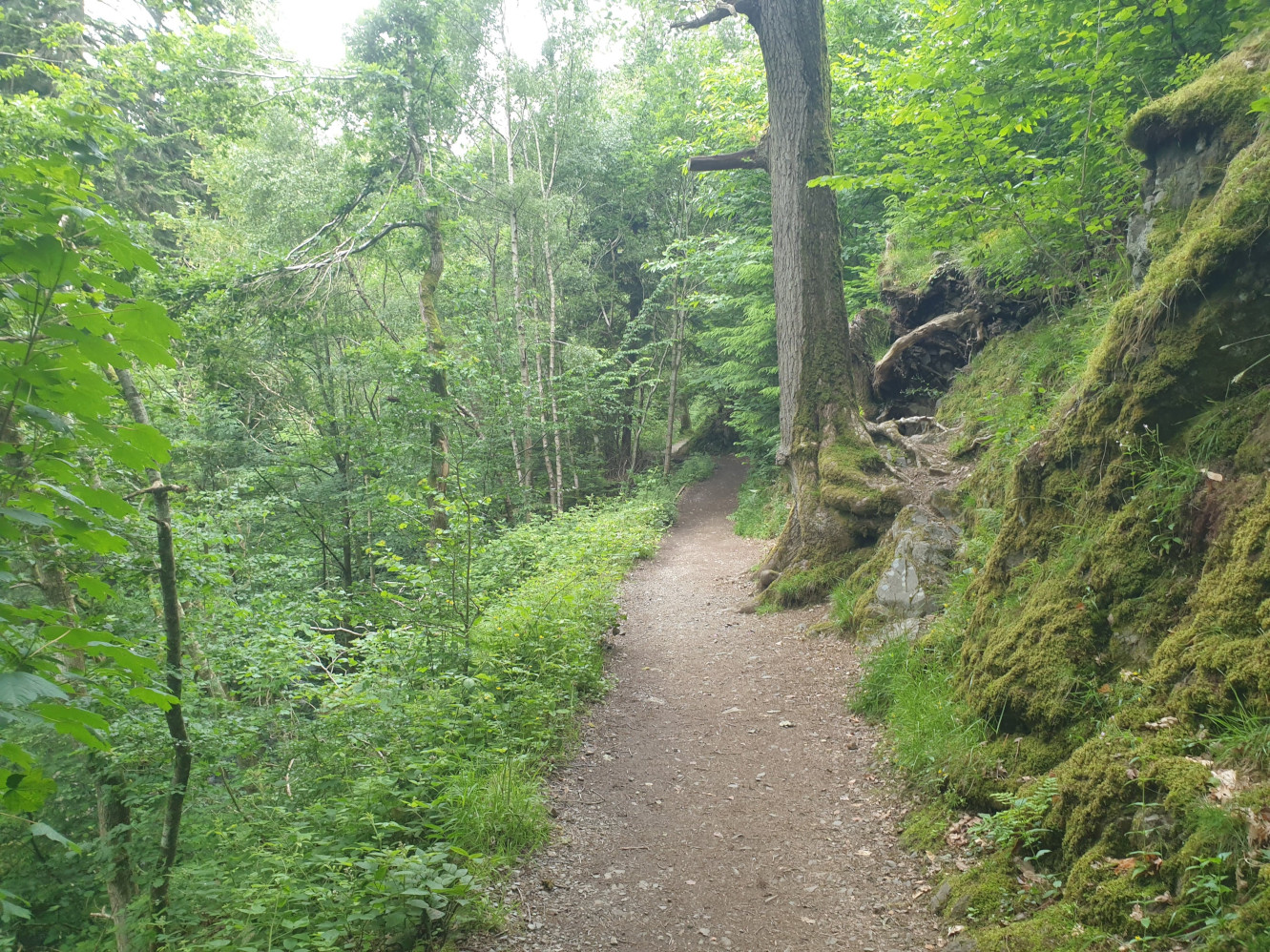
Now the path heads into the woods, follow the path alongside Aira Beck with the beck on your lefthand side.
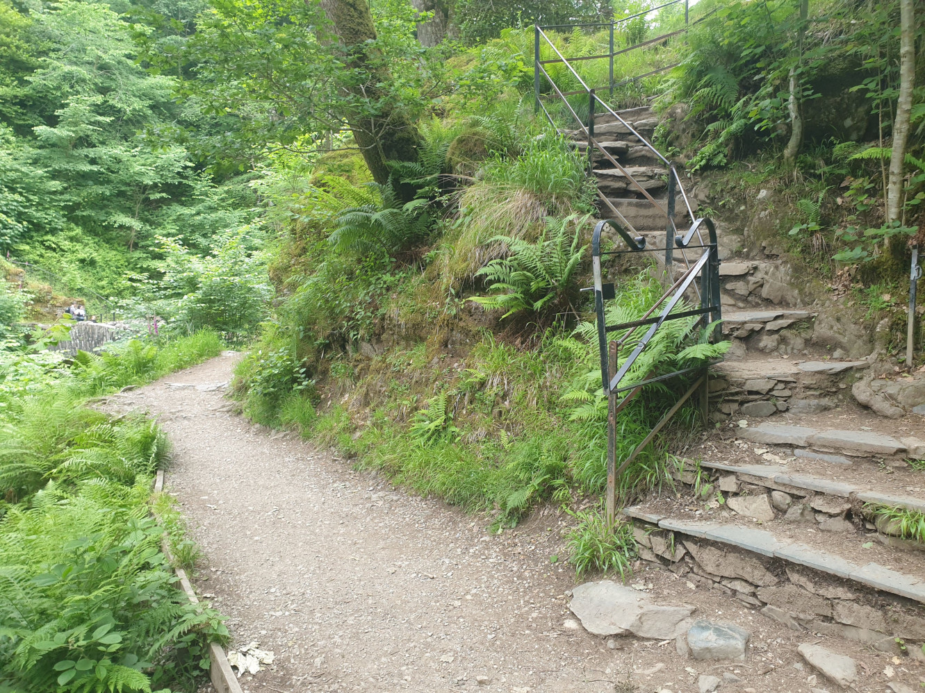
Take a note of these stone stairs, we’re not heading up them yet but will be in a bit. For now take the path to the left and towards the stone bridge slightly visible on the left of this pic.
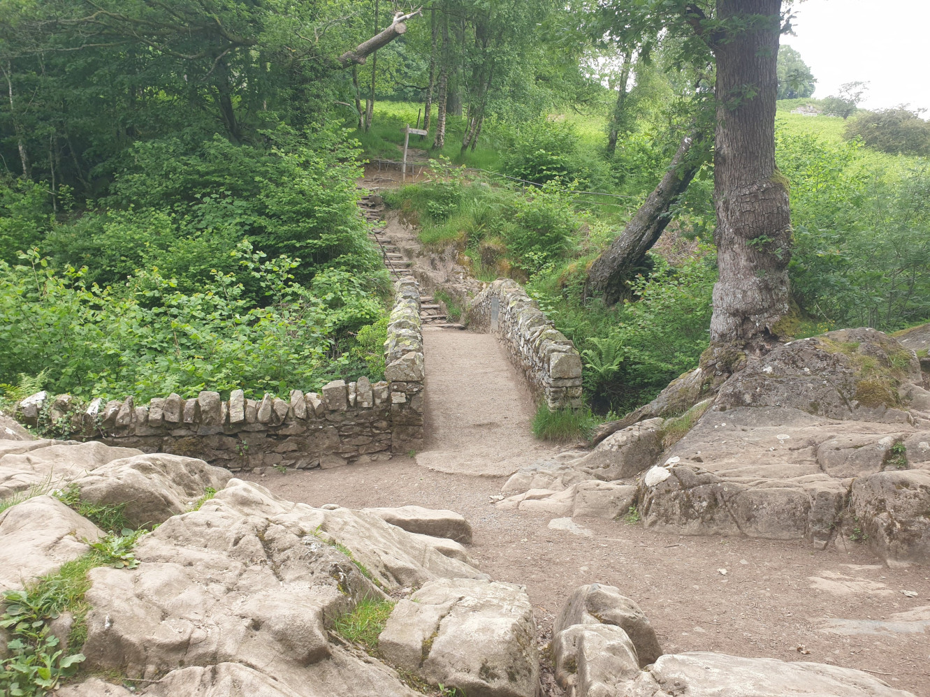
The stone bridge.
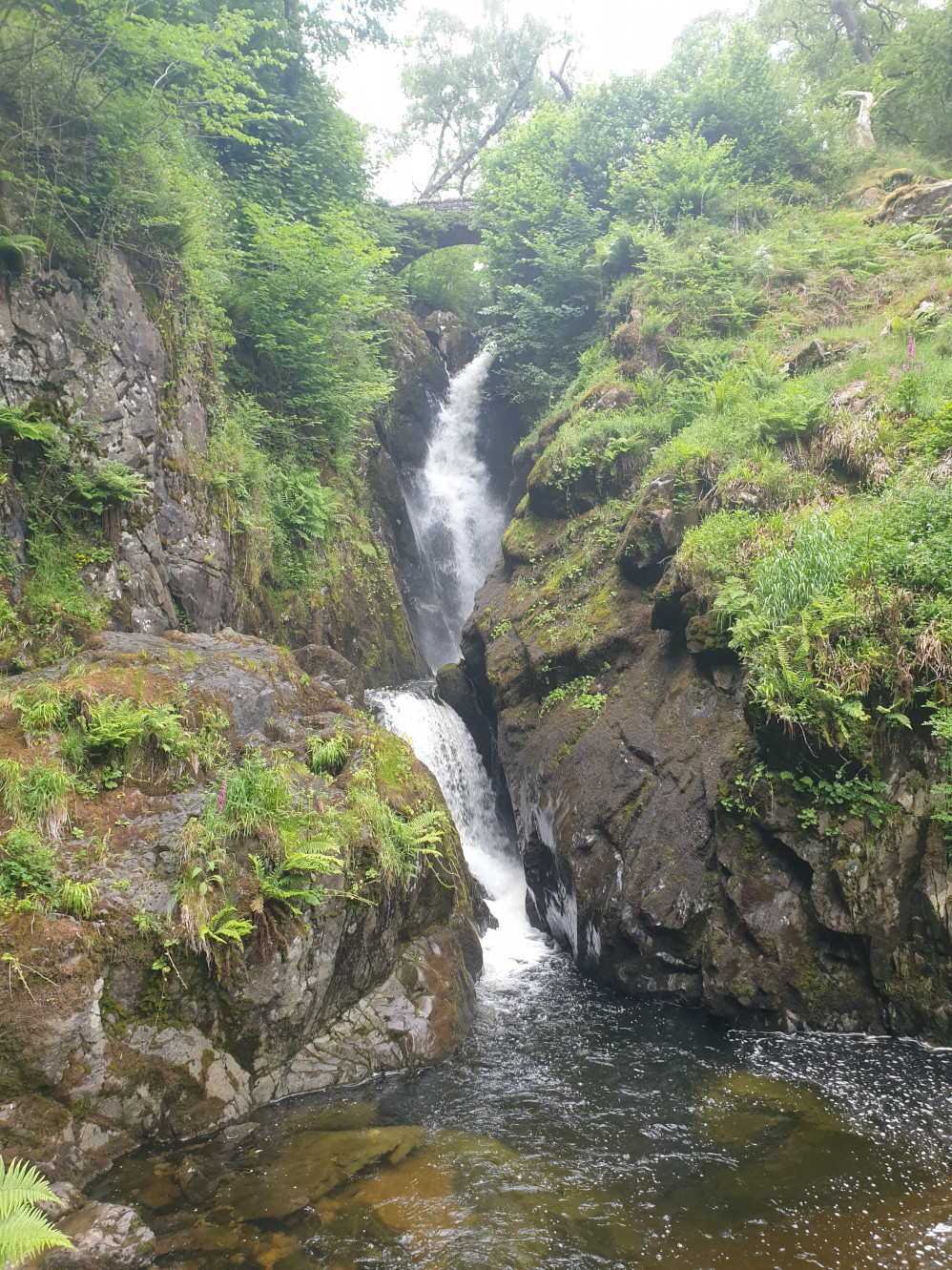
You then reach a nice wide and level view point of Aira Force. Another stone bridge is visibe at the top of this pic, we’ll be heading up there soon.
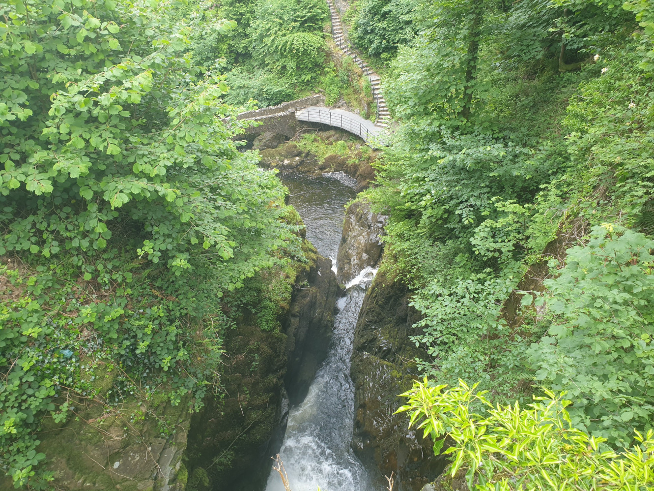
After taking in Aira Force, head back over the stone bridge and up the stone steps shown earlier. You then get to the stone bridge above Aira Force for a view fomr the top, down to where we just were.
It’s then just a case of following the path north, alongside the beck.
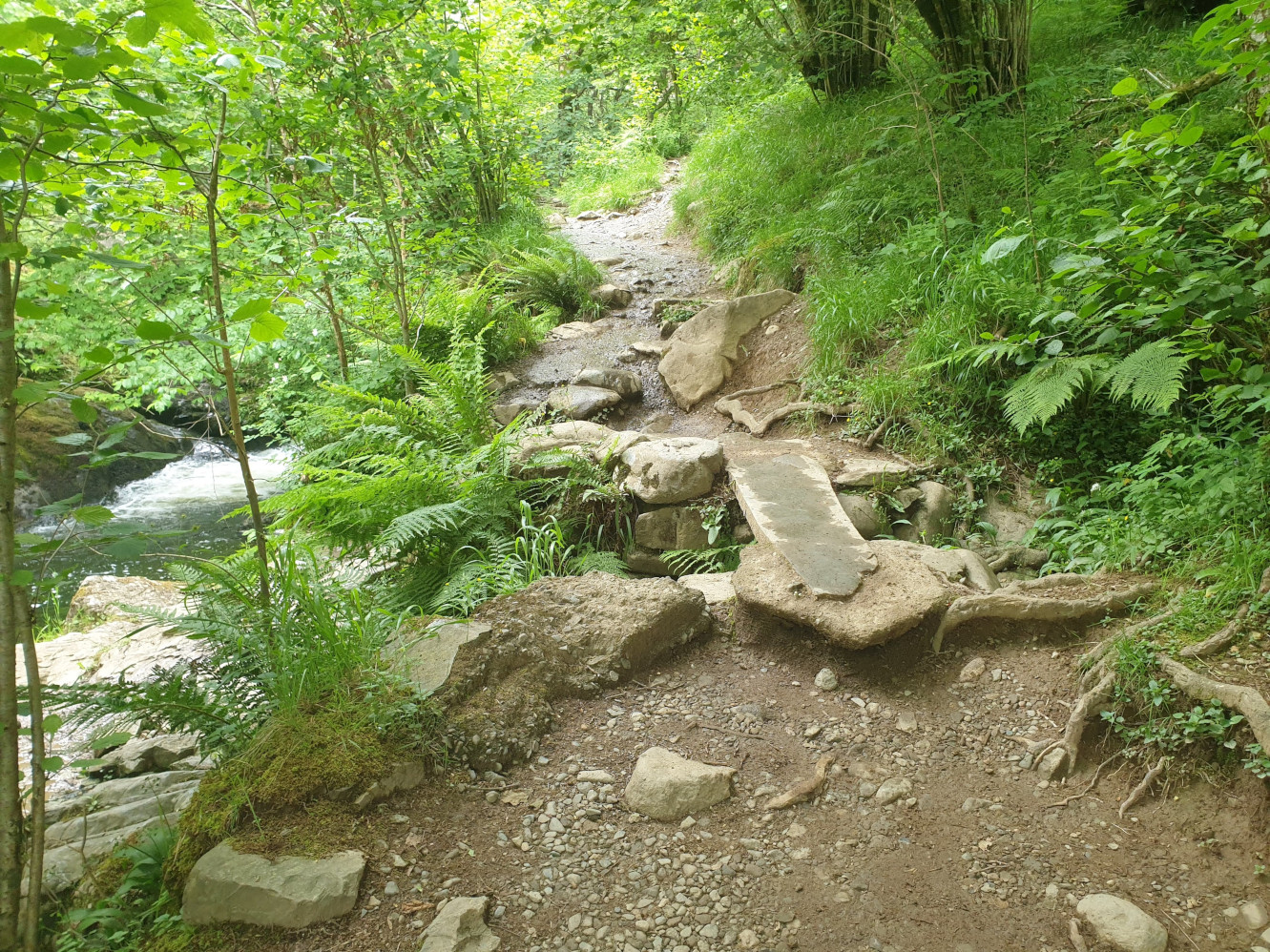
There are a few small waterfalls dotted along the beck.
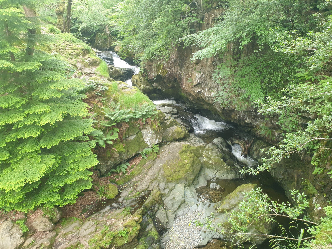
With a footbridge to cross to get over the other side of the beck, nearly back to where it all began.
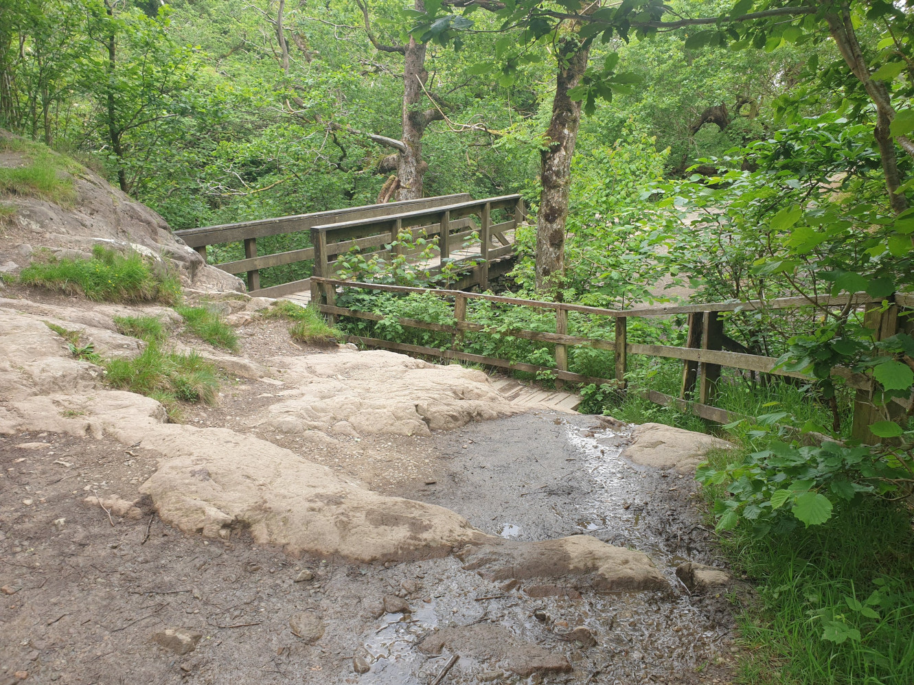
A few more waterfalls along the way, including High Force.
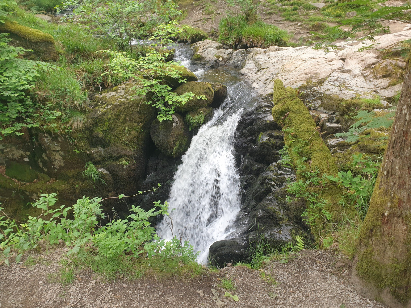
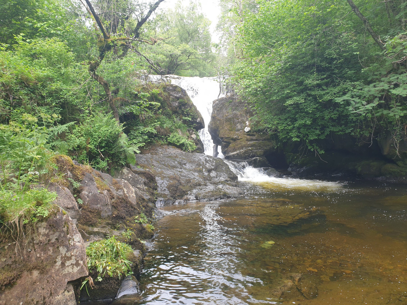
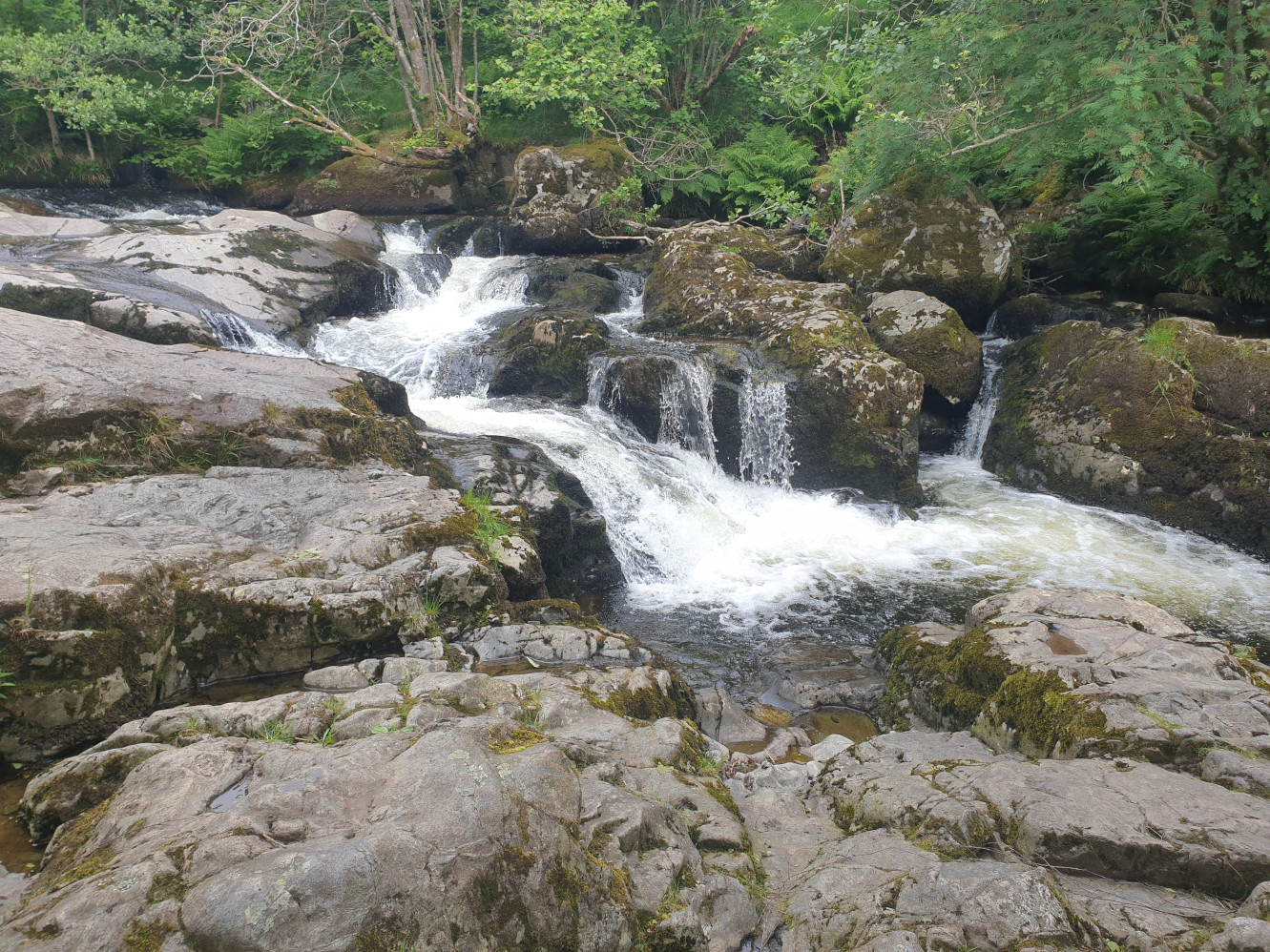
Then when you get back to the footbridg we crossed at the start of the hike, its just a case of turning left, following the path west, back to the car park.