Parking at Chop Gate Village Hall pay and display car park, this is a fairly long route but quite level along the top of the moors. Starting by heading east through some fields uphill to the moors and a nice little picnic spot on the far side. Then follow the hilltop north for a couple of miles, turn left down into the valley and through Urra, crossing the road and heading back to Chop Gate via the other side of the valley.


After leaving the car park, cross the road (B1257) following the road for a short distance to the driveway of Esp House where there is this stile by the driveway in the corner of the field.

Climb over the stile and follow the path along the edge of the field parallel to the road.
Turn left at this gravel track and head up it to William Beck Farm. Pass through William Beck Farm, following the path in front of the farm building and to the right. It’s then a straight line following the track and footpath up to the top of the hill and Nab End Moor.

Local wildlife pic near the farm.

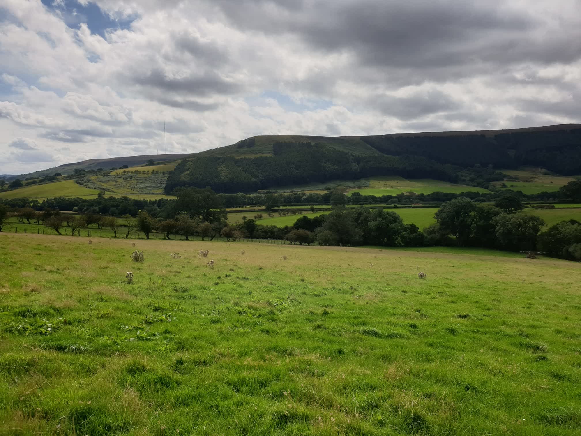
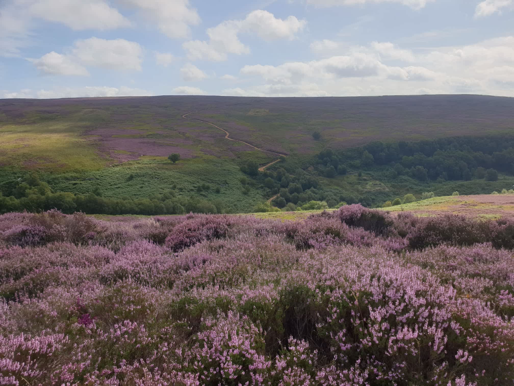
After crossing through some fields and starting to get to the moors here is the view back across the valley from where we set off.
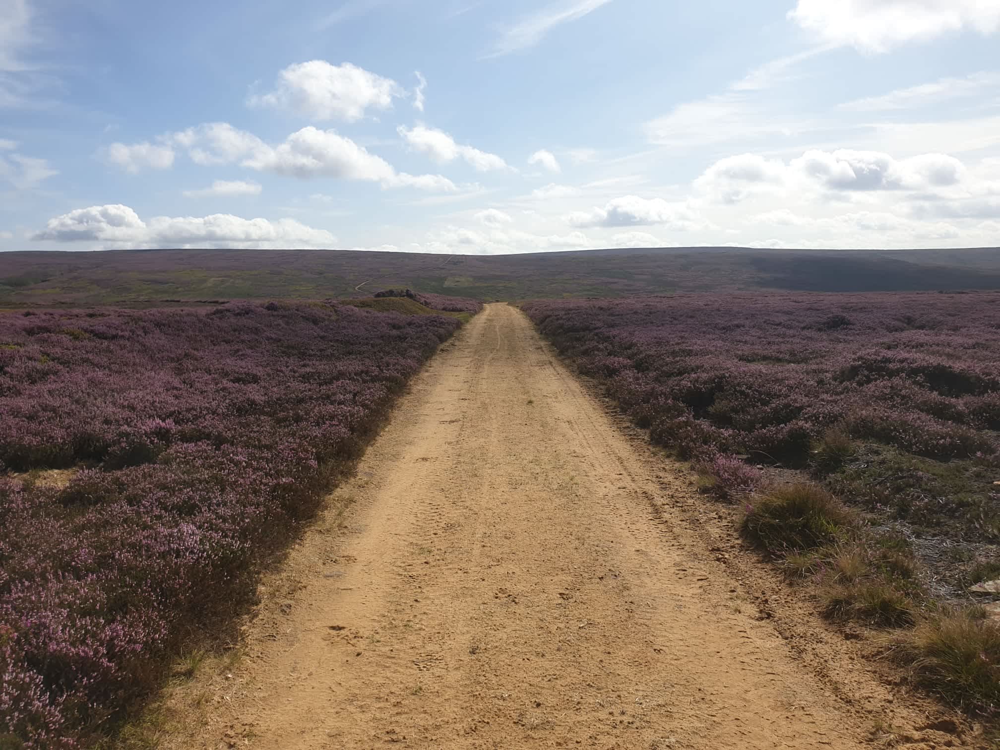
Then its time to head across the moors, note to self, I must visit this spot at the peak of the heather purpleness. I think I was close here.
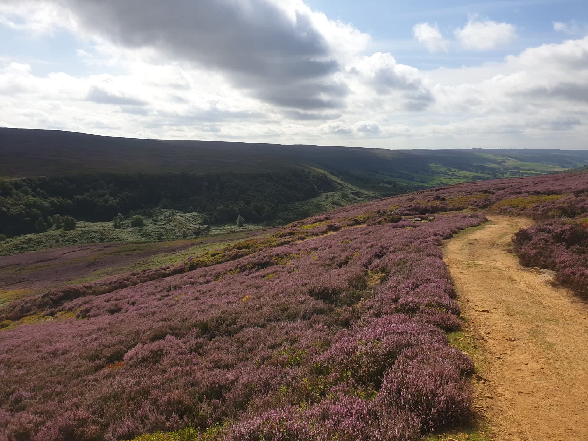
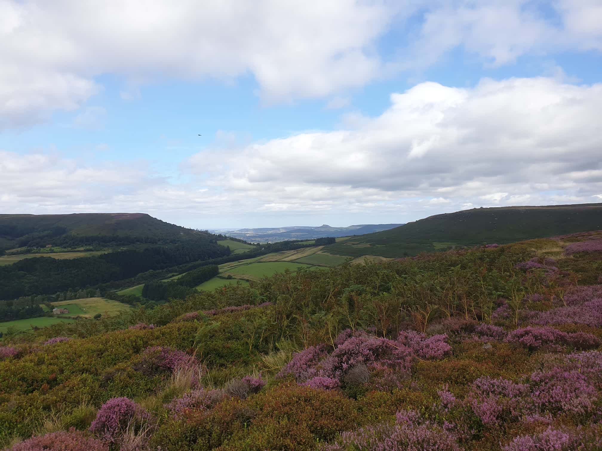
At the top of the moor we’re going to head into the valley ahead of us. Here you can see the road up the other side of the valley, we’ll be following this road down but not heading upwards on the other side, we only go as far as the valley bottom, the picnic site.
The track winds left and right as it heads downhill.
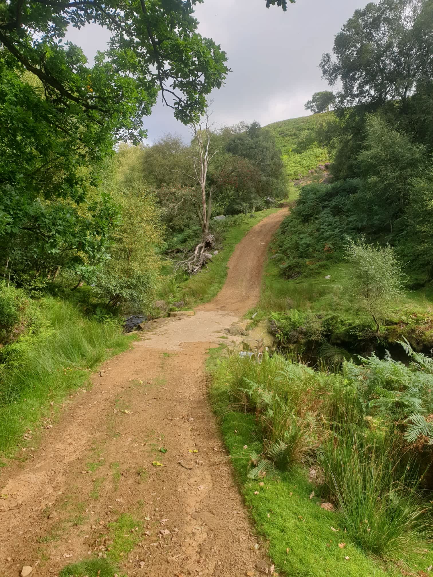
Here at the valley bottom is a nice little stream and picnic site. On the OS route map this is the bottom right part of the walk at Tripsdale Beck.

After a rest and a picnic it’s time to head back up the track the way we came, up the windy track and back onto the top of the moors.

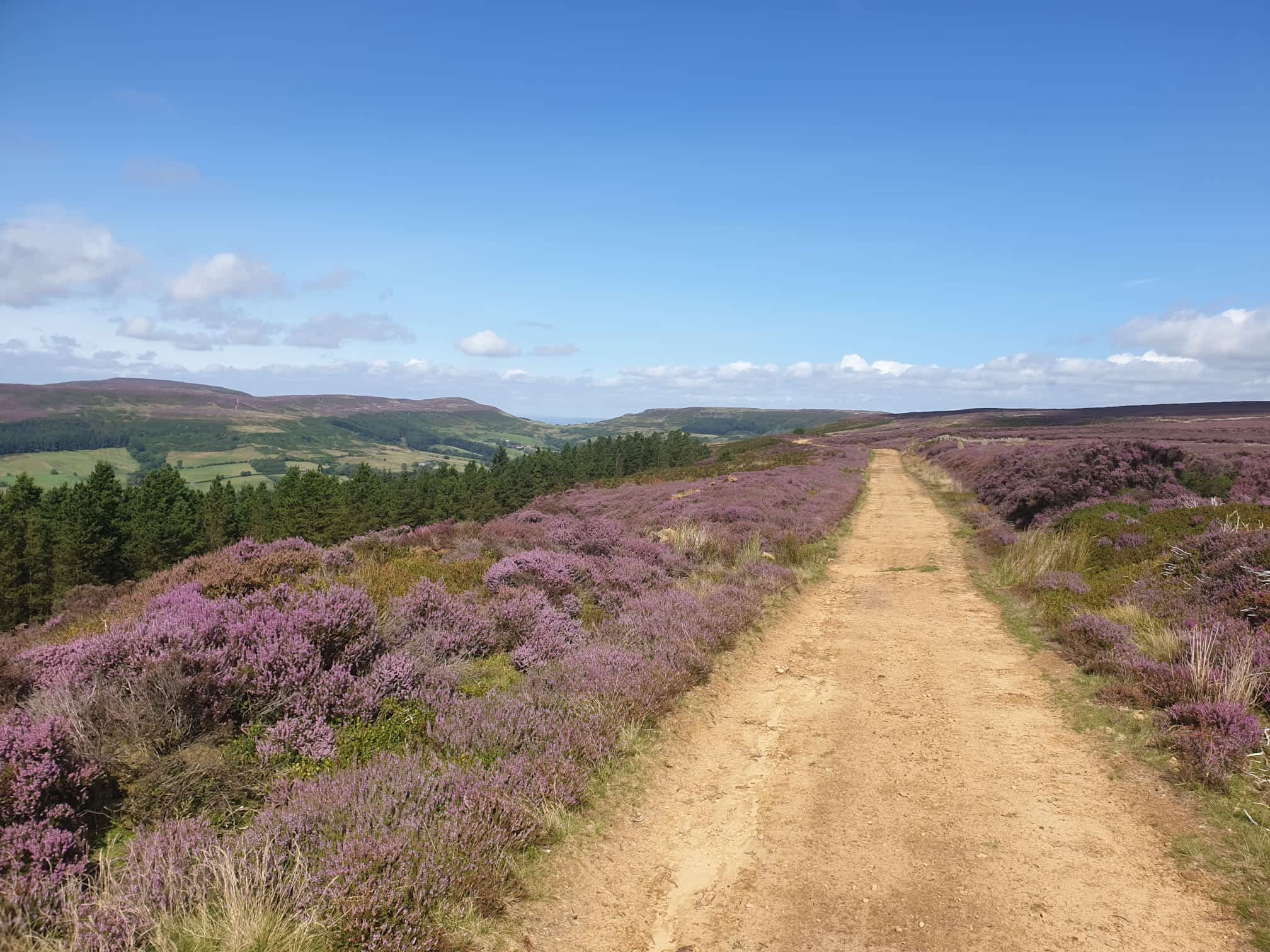
Following this track north at the top of the hill. Most of the way it was an easy gravel track…
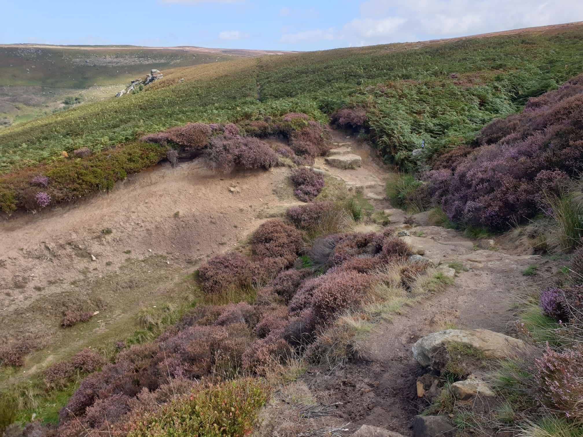
But sometimes it was bit tricky…
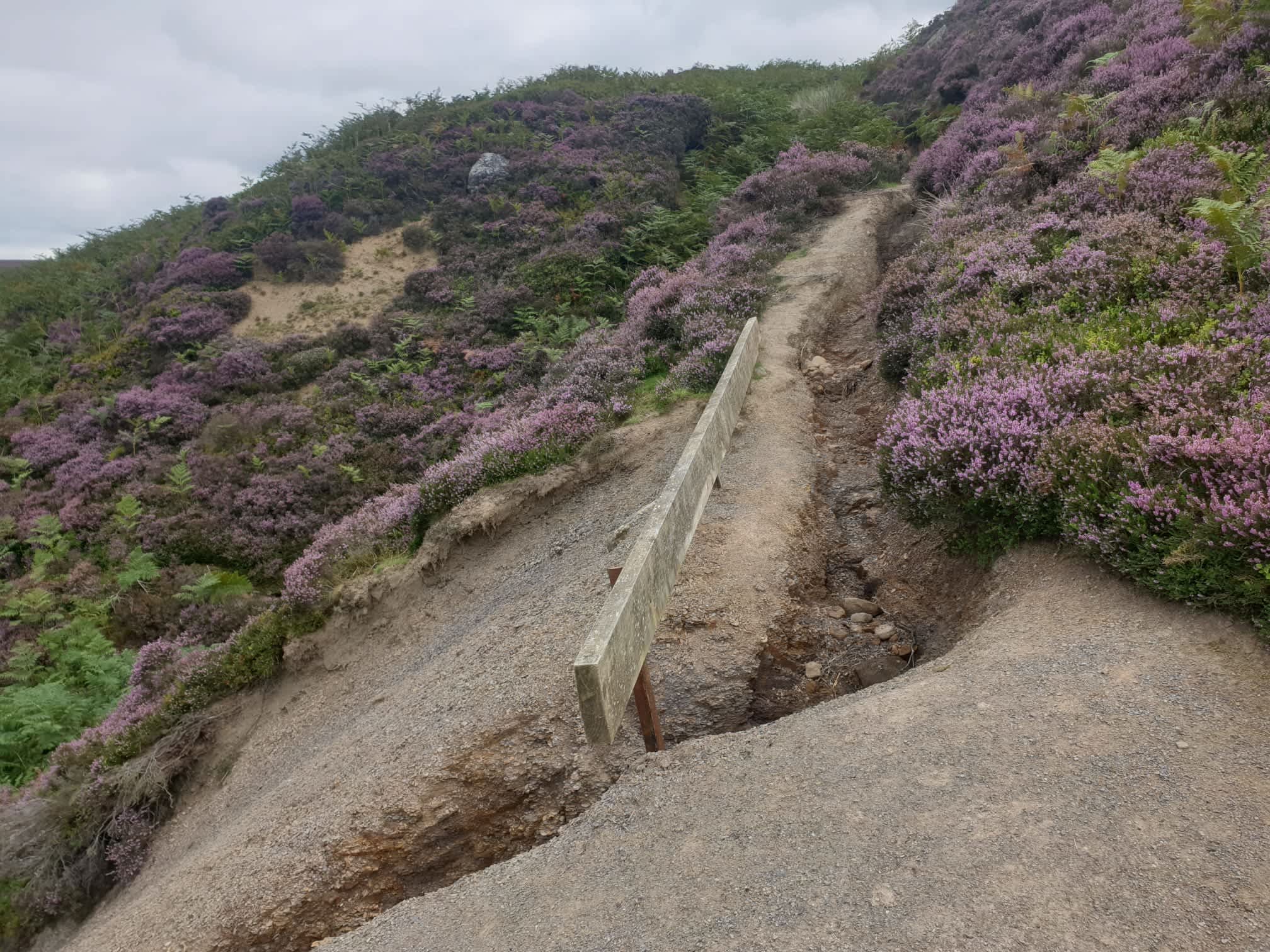
And sometimes it was really tricky…

Worth it for the views though.
After a couple of miles along the hilltop, just above Urra, it’s a left turn down a dirt path at this footpath junction.
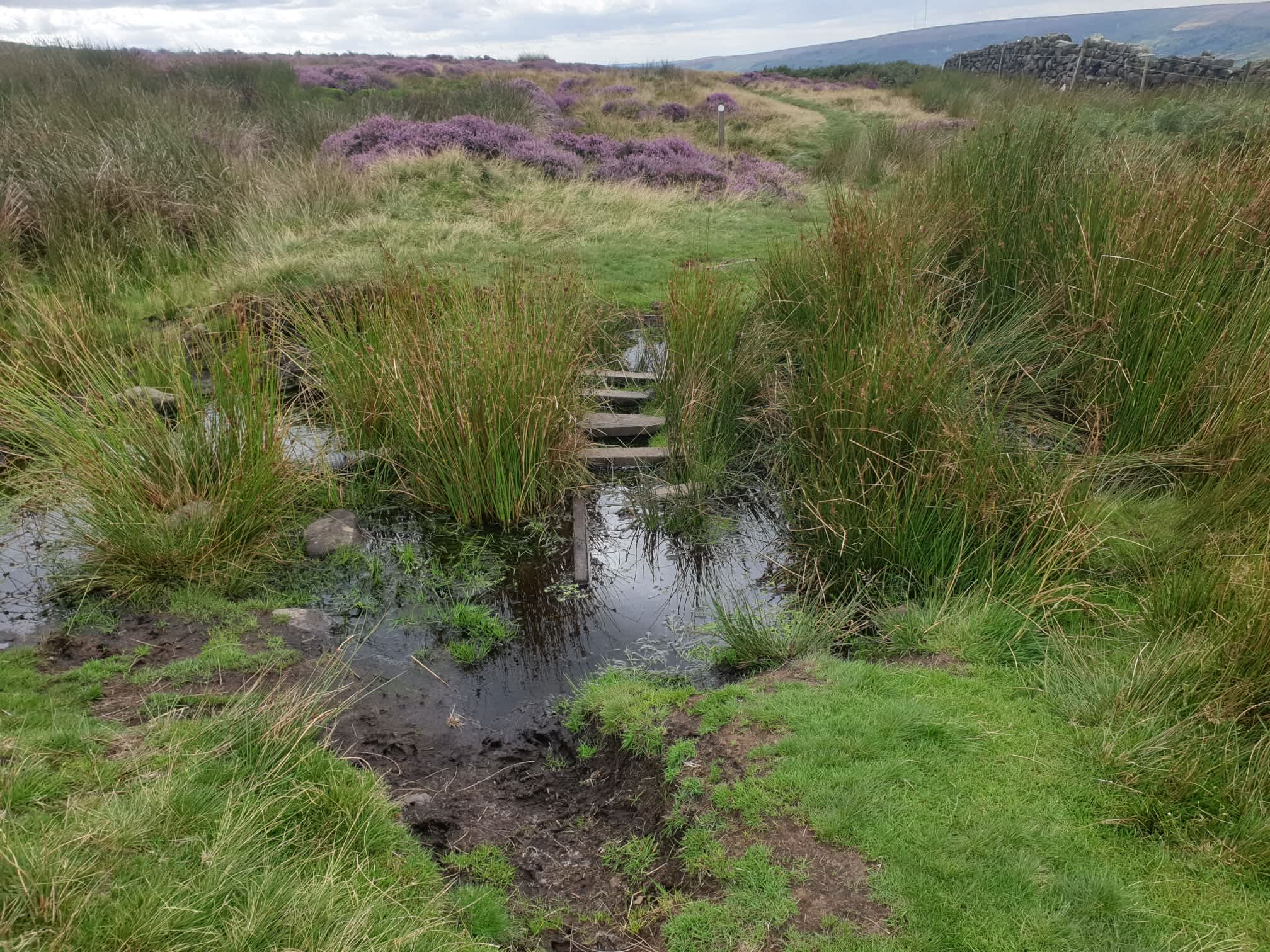
Following the path down to Urra, here it gets a little bit sketchy.
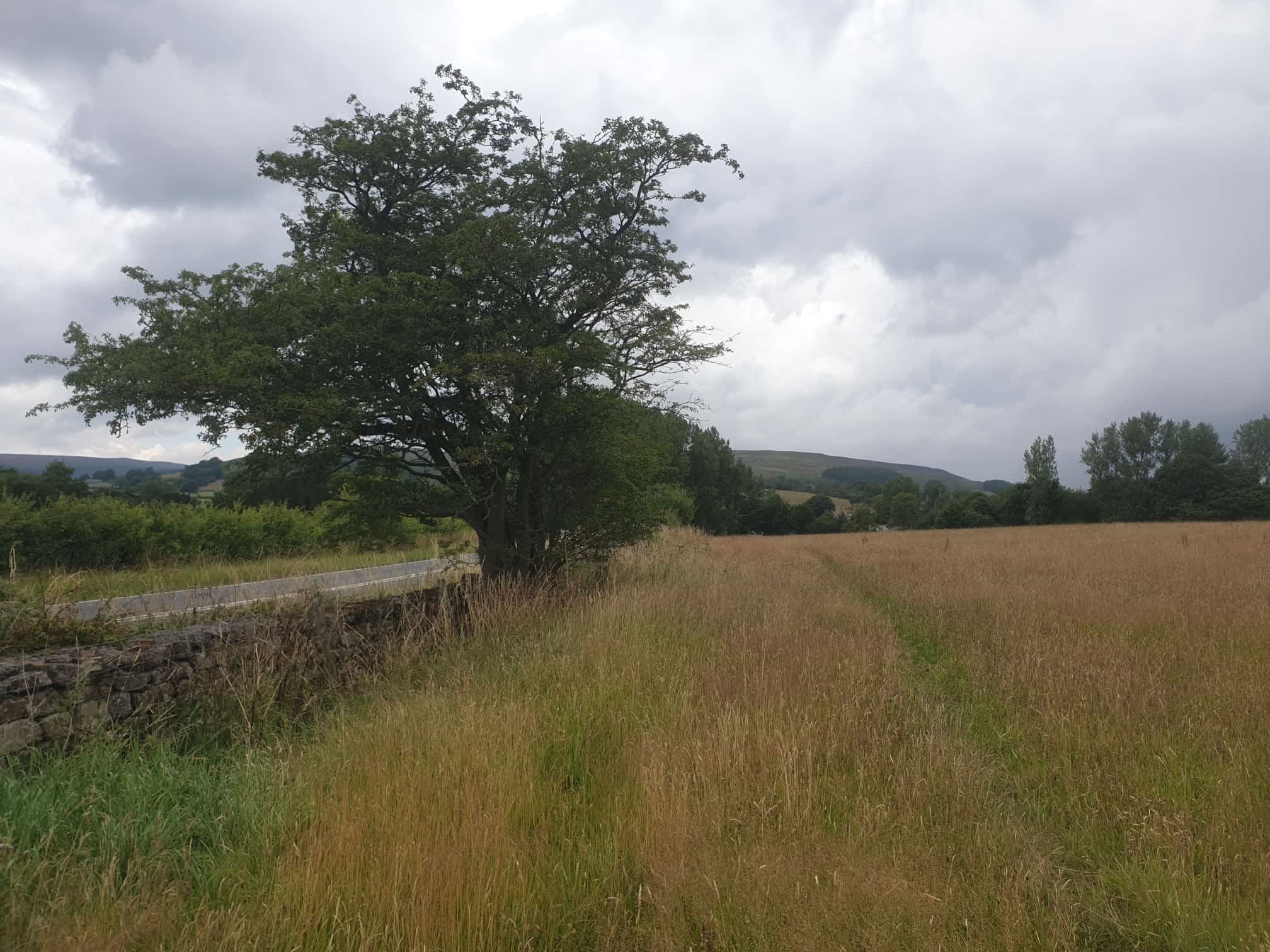
At the bottom of the hill is the main road, crossing the road near Foot Bridge and follow the footpath to Broadfield Farm. At the footpath junction turn left, heading south, parallel to the road, it passes through fields which at the time were a bit muddy and a bit “Bully”.

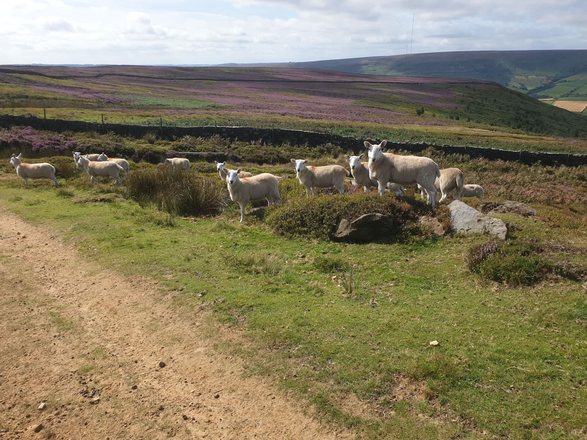
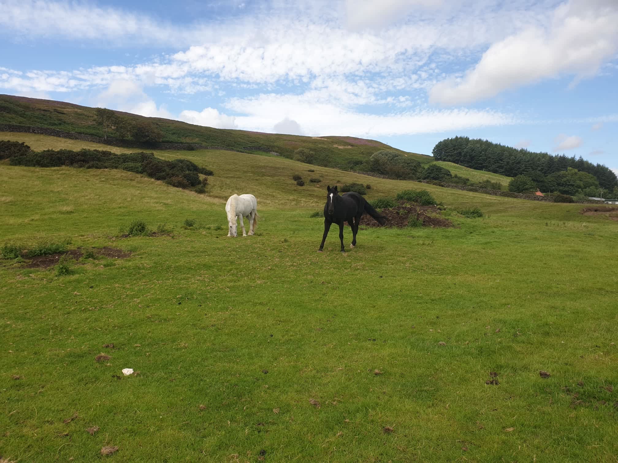
The path heads south for a couple of miles past North Woods and Bank House. One final animal pic as I crossed through more fields towards Chop Gate.
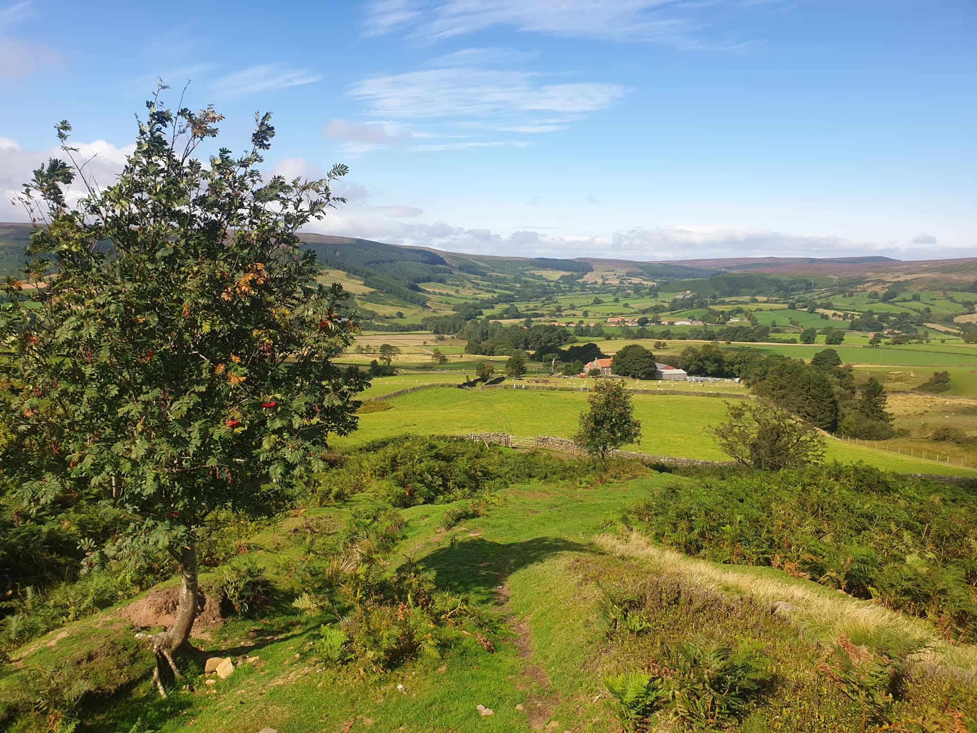
As I approached Chop gate and Tiggy, a pic looking back over the valley at the moor tops where I had been earlier.