Most importantly, the second part of this route was an absolute nightmare. Definitely not a route I would recommend, or do again! Heading down from the moors and into the farm fields was a very tricky path and one not many people had used for a long time. It was very overgrown with bracken, brambles, nettles and thistles with a few marshy bits thrown in for good measure.
The route starts at the usual spot in Chop Gate at the Village Hall pay and display car park and then follows the same route uphill to the moors as covered in the Chop Gate to Urra tour.
Heading East through some fields and a farm up to the moors and the old picnic spot at Tripsdale Beck. Then back to the top of the hill and along the track south to the Bride Stones. After that it was all downhill, literally and figuratively, along difficult to find paths and through allsorts of overgrown vegetation along the valley bottom back to Chop Gate.


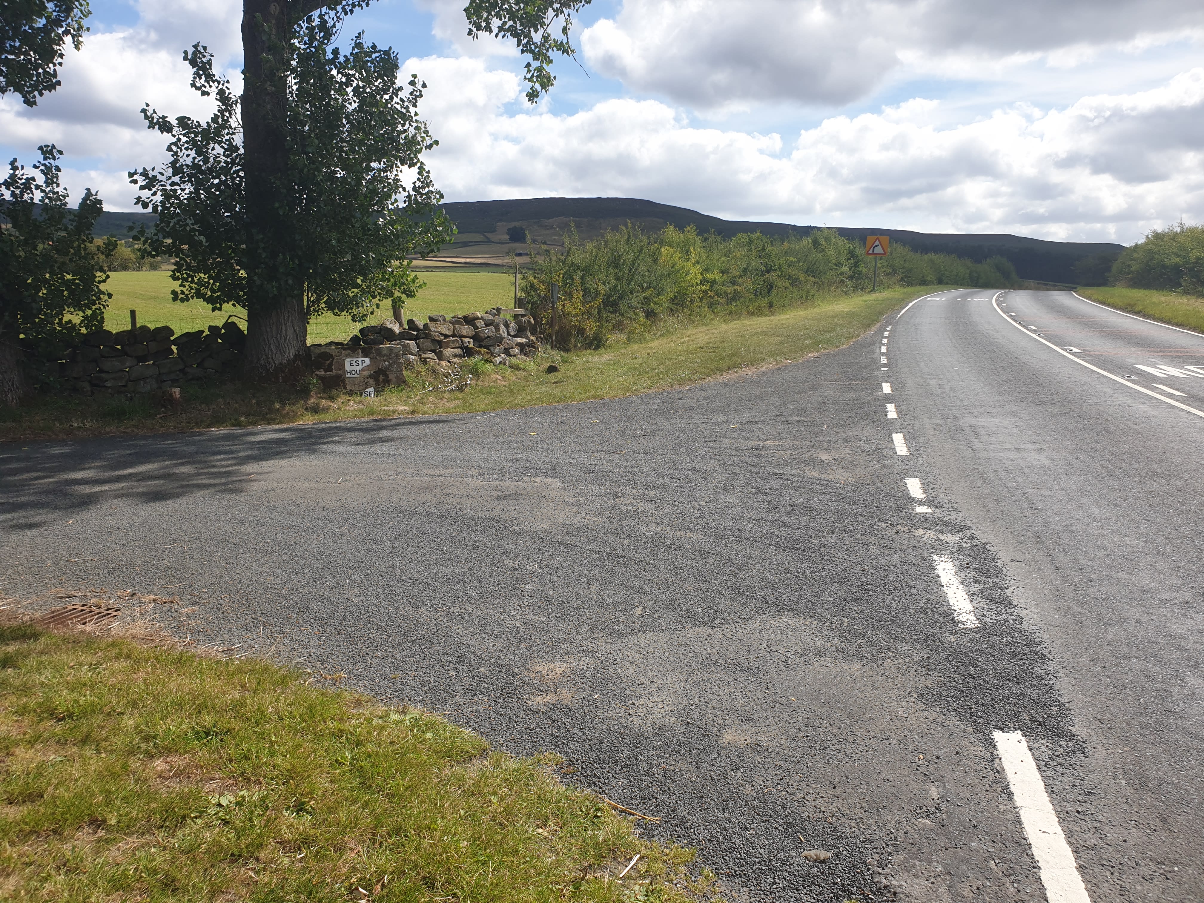
After leaving the car park, cross over and follow the B1257 South for a short distance to the driveway of Esp House where there is this stile by the driveway in the corner of the field.
Climb over the stile and follow the path along the edge of the field parallel to the road.

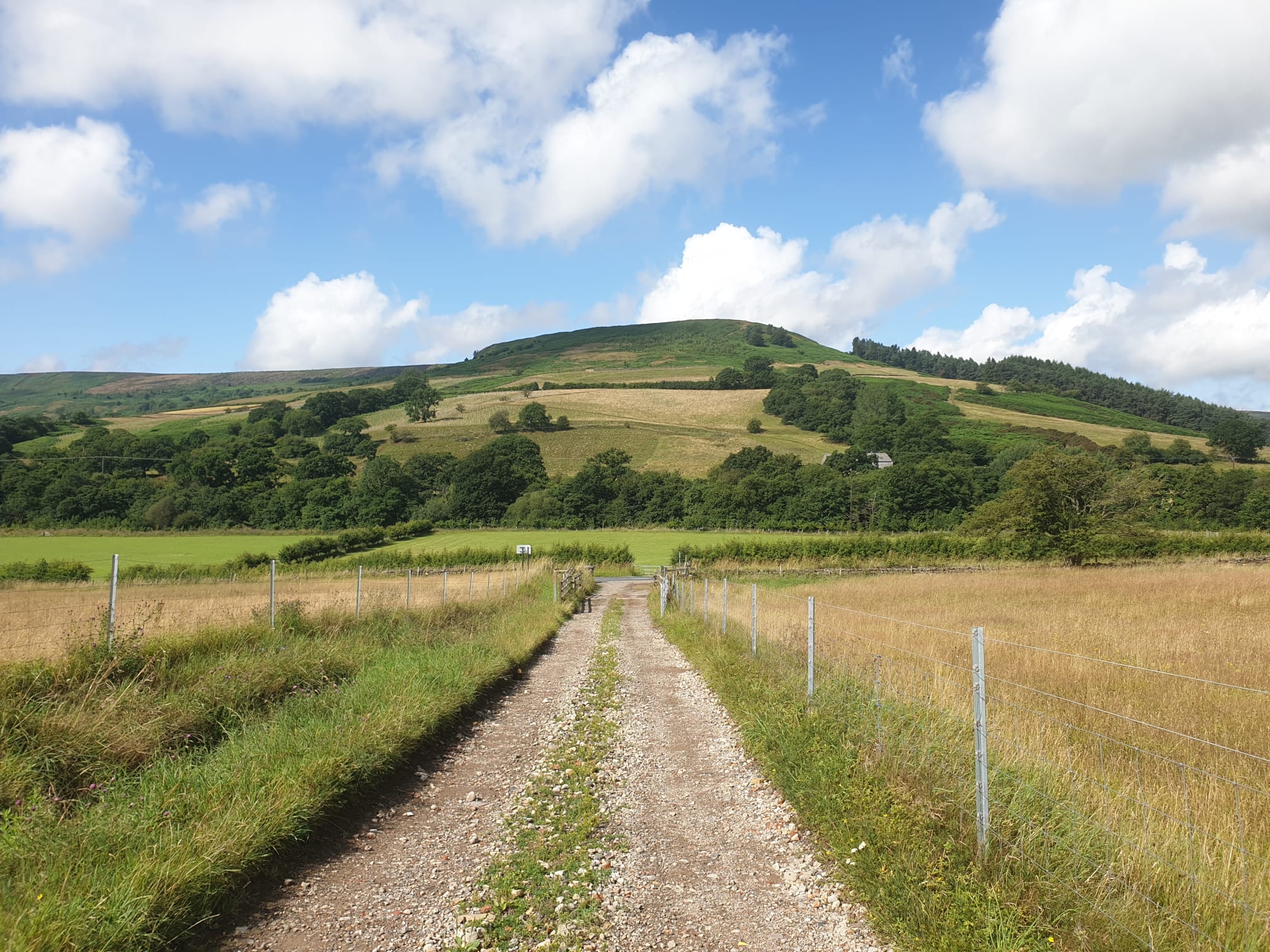
The path follows the edge of the field to a gravel track which is the track to William Beck Farm. Here is the view from the track looking west and the second picture the track to follow up to William Beck Farm.
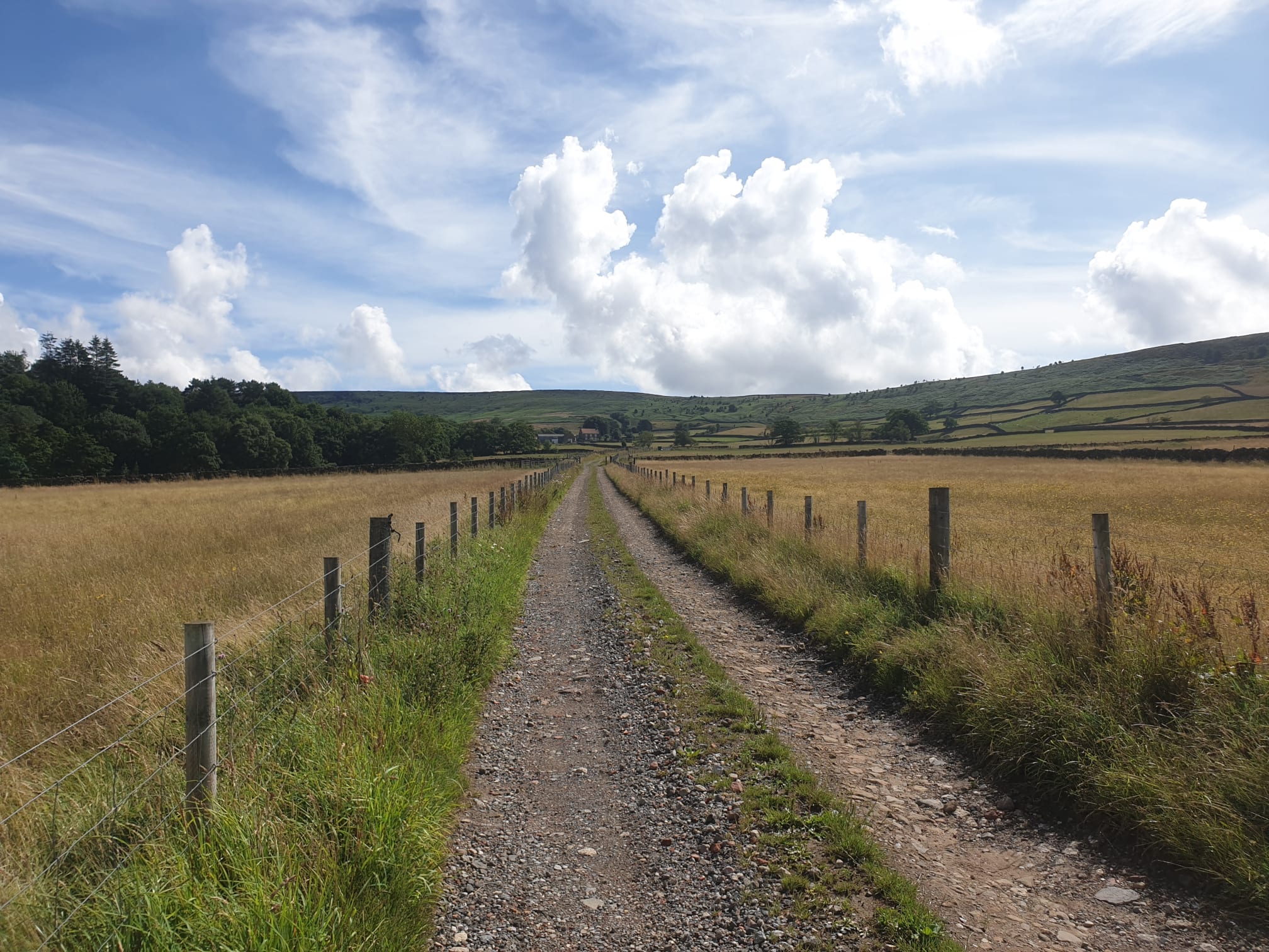
Whilst travelling up the track to the farm, take note of this footpath junction, the footpath on the right is where we’ll be re-joining this track at the end of the hike.

Pass through William Beck Farm, following the path in front of the farm building and to the right. It’s then a straight line following the track and footpath up to the top of the hill and Nab End Moor.


The second part of the uphill trek is through bracken, but here thankfully, the path is easily visible.

From the top of the hill looking back at William Beck Farm and Chop Gate further in the distance.

Finally the path gets to the moors, where the footpath joins a wide dirt track. Follow the track right for a short distance and then take this track left, heading east.

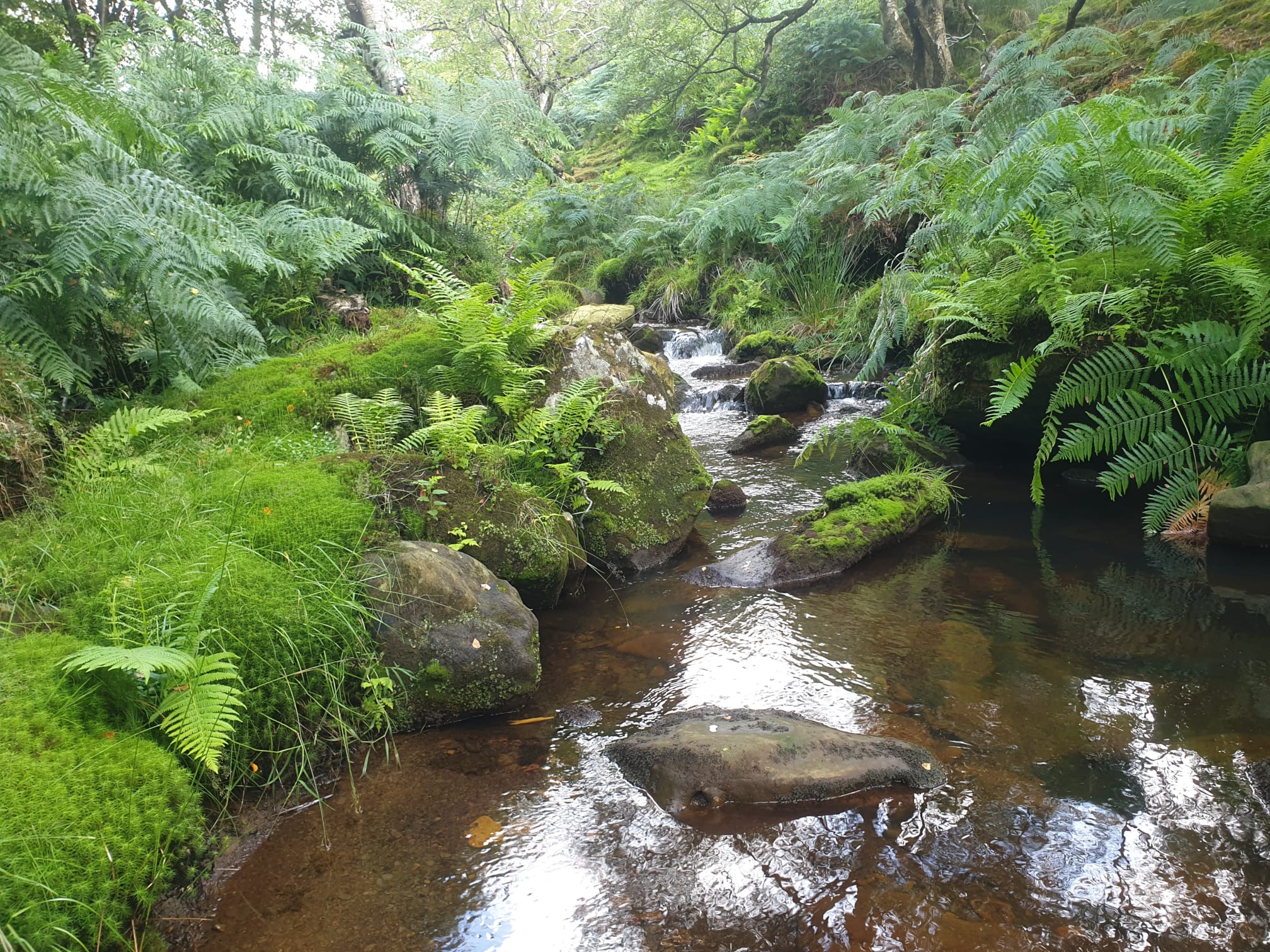
The path follows a windy track down to a stream, downhill to a previous picnic spot as mentioned in the Chop Gate to Urra trek.


I like the seclusion of this part of the moors, a green oasis and out of sight. A good spot to rest and have a picnic.
After a break it’s then time to head back the way we came along the windy track, but this time uphill.
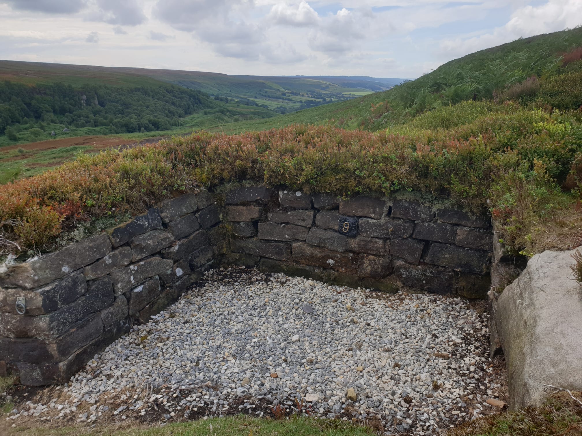
#9
Back to the track junction we joined earlier, this time we’re heading left, south, along to the top of Nab End Moor.
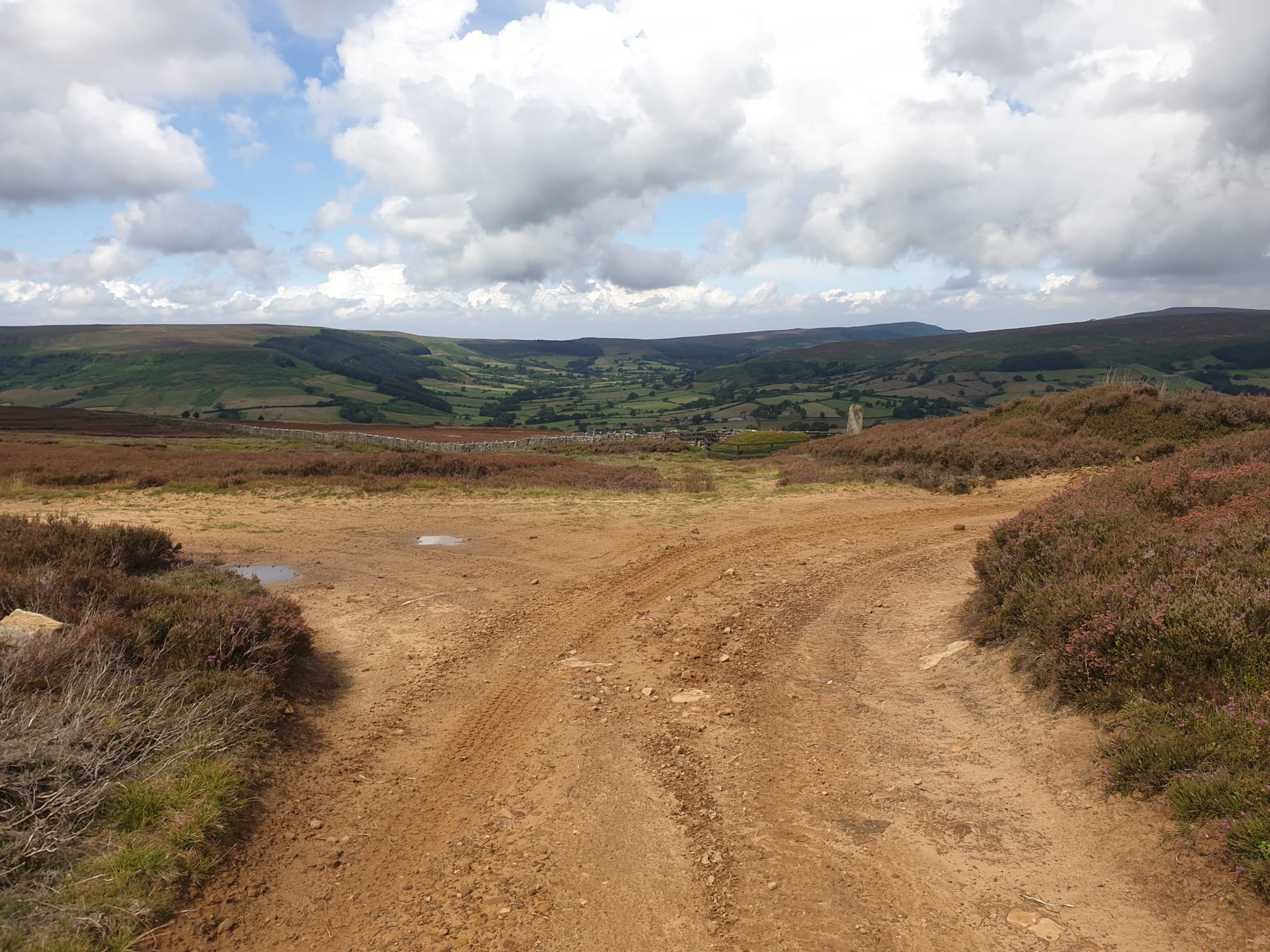

After around a mile you will see the cairn appear, the next part of the route is just before the cairn, a footpath downhill, to the right. Not a path I’d recommend.

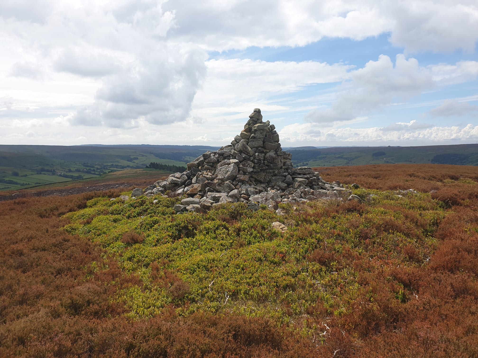
The route so far had been easy, uphill, but easy. Little did I know the rest of the route, downhill, was going to be nothing but tricky. From the dirt track, just before the cairn is an indent to the right in the moorland, this is the footpath down. Already looking tricky, not a good start.

Heading over the moors, sometimes on what could have been the path heading towards this small wooded area, the path then turns to bracken and brambles.

The overgrown gates were a clear indication that no-one else was daft enough to follow this route, or had given up earlier, but I carried on.

After the bracken, crossing a stile into the bottom field before the main road, the ground then turns marshy. The path here, not that you can see it, follows the fence line according to OS Maps.

Inbetween marshy bits, a nice view across the valley.

A break in the nightmare was a nice tarmacked road as you pass near by Cam House.

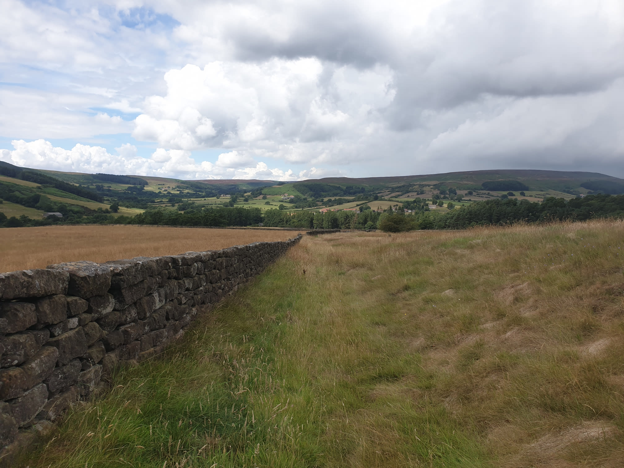
After that short respite its back to grassy, overgrown paths. Following the fields in a fairly straight line parallel to the valley bottom through nettles and thistles to High Ellermire Farm.


Follow the path through High Ellermire Farm there are then a couple of easier grassy farm fields to walk through.
The footpath then joins back onto the farm track to William Beck Farm where I showed the footpath junction earlier, take a left and follow the track back down the way you came to the car park.