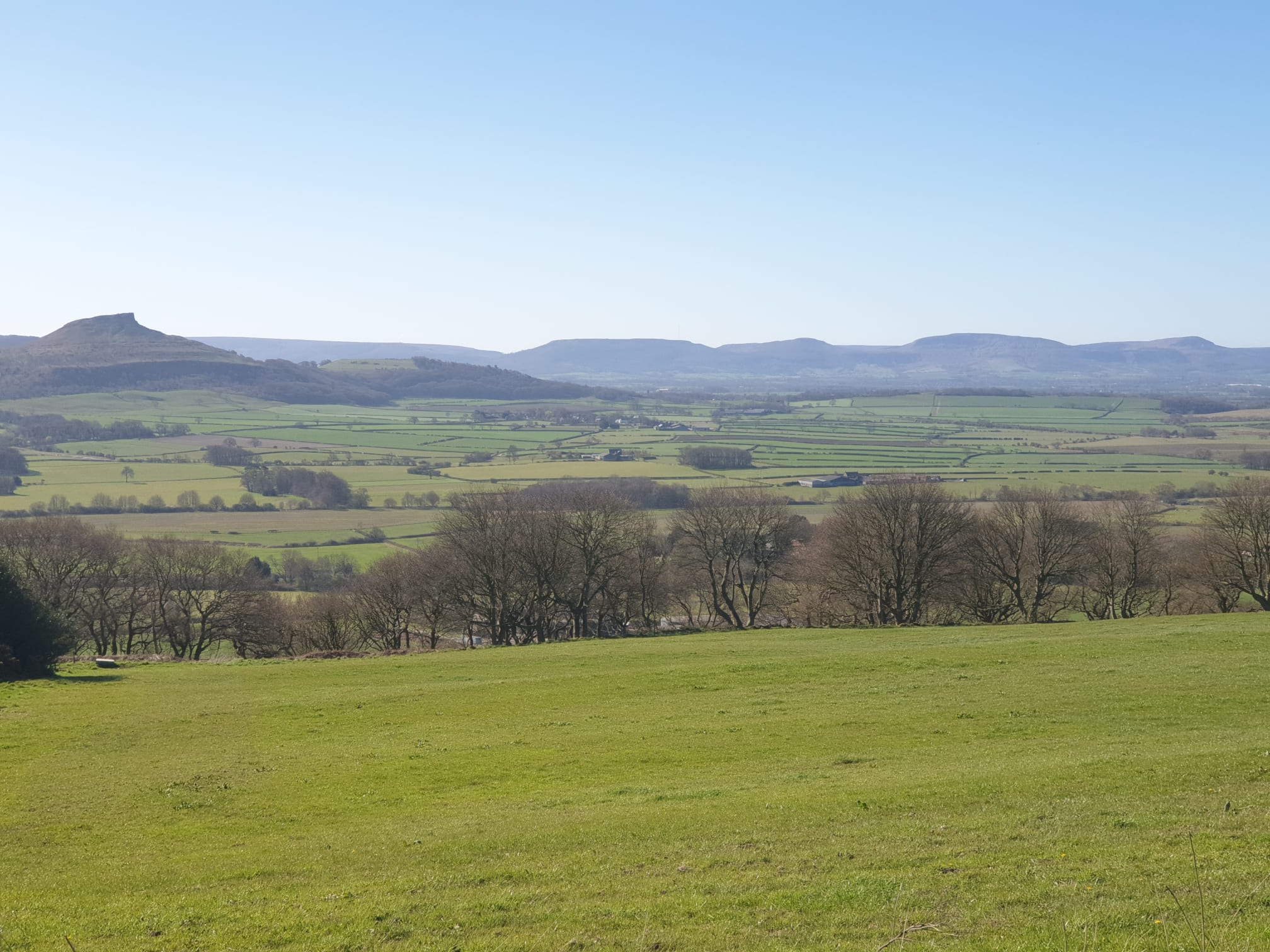
Part of the Yorkshire skyline, the Cleveland Hills, a collection of peaks as you’ll see in other hikes on this site. Here’s a pic of them from the Eston Nab hike with Roseberry Topping to the left and on the right, three of the peaks climbed on this hike.
This is the route, as with all Lordstones hikes I parked at Lordstones Country Park. This route takes you east, along the Cleveland Way, up the hill to the peak at Cringle Moor, then another peak at Cold Moor and onwards to the Wainstones. Very hilly and passing through the Wainstones does involve a bit of scrambling over large rocks. After a lot of uphill and downhill I chose a nice, level path along the bottom of the hills for the return journey.


It begins, starting from the Lordstones Country Park and heading north onto the Cleveland Way. Take the path to the right at this signpost below, the other path to the left is the path we take back.

Following the well established Cleveland Way dirt path you get the first view of one of the three peaks.

The path changes from dirt to stone steps and gets quite steep. Here is the path looking back down from the top of the first peak.

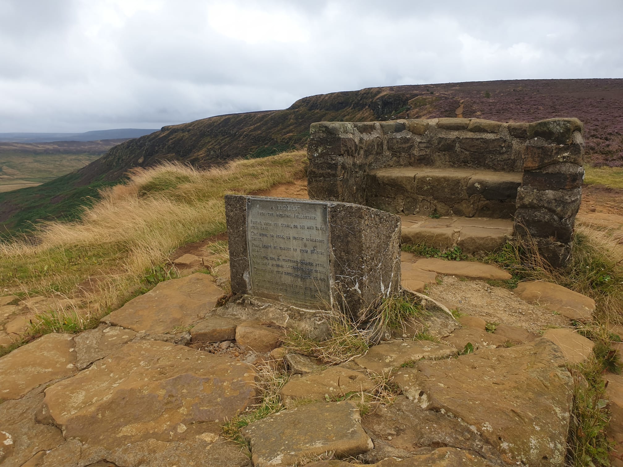
At the top of this peak is the Alec Falconer Memorial Seat.

After a short rest to take in the views its time to head along the hilltops. This pic shows the second and, in the distance, the third peak. It also shows the lower path which is the route back.

But we’re staying up top and heading along the hilltops.

Head down from the first peak, careful on those steps.

Here at the lower point is the main junction from the lower to higher paths. We’ll be back here later on the way back, but we’re continuing to follow the Cleveland Way at this point.

Time to take a grassy and stoney path up to the second peak at Cold Moor.


From the top of the second peak at the northern end of Cold Moor, with the third peak, the Wainstones, in the distance. This second peak isn’t even classed as a viewpoint on the OS map, but has a nice view all the same. This point is also where you turn off as part of the Lordstones Up, Down, Up, Down and back to Lordstones tour.

Back on this route, it’s time to head down into the next valley for a more ominous view of the Wainstones ahead.

Another uphill trek to the third and final peak.


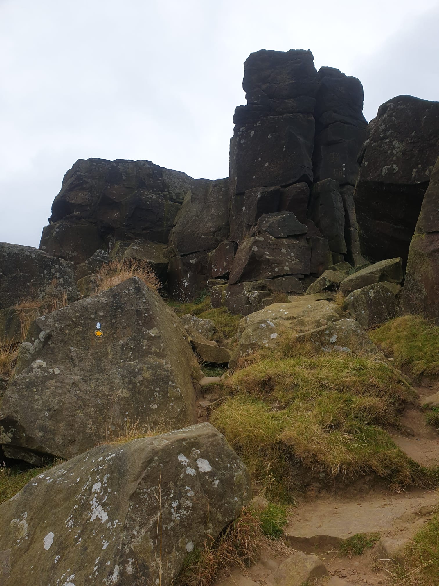
So rocky that the signposts are stuck on the rocks, showing how much of a rocky scramble it can be.


Looking back down from where we came with the earlier, second peak in the distance..

And the view from the top, again looking back at the previous peak.

A nice, stoney path along the third hilltop, leaving the Wainstones behind and following the Cleveland Way to Hasty Bank.

Obligatory animal pic with Bilsdale mast on the horizon to the right (I did a walk there: Bilsdale Expedition).

Carry on along the Cleveland Way, along the hill top.

With some lovely views, spot the Rosey!

This is the furthest, highest and eastest point of the hike.

It’s all downhill from here, a nice, grassy downhill path down Hasty Bank.

At the bottom of the hill turn hard left, leaving the Cleveland Way and doubling back along the lower path back to Lordstones. From the lower path you have views up to where we were earlier.
A good view of the Wainstones from the lower path. As can be seen in the pic below, the path is mostly made of dirt and grass.

And the second peak from the lower path.
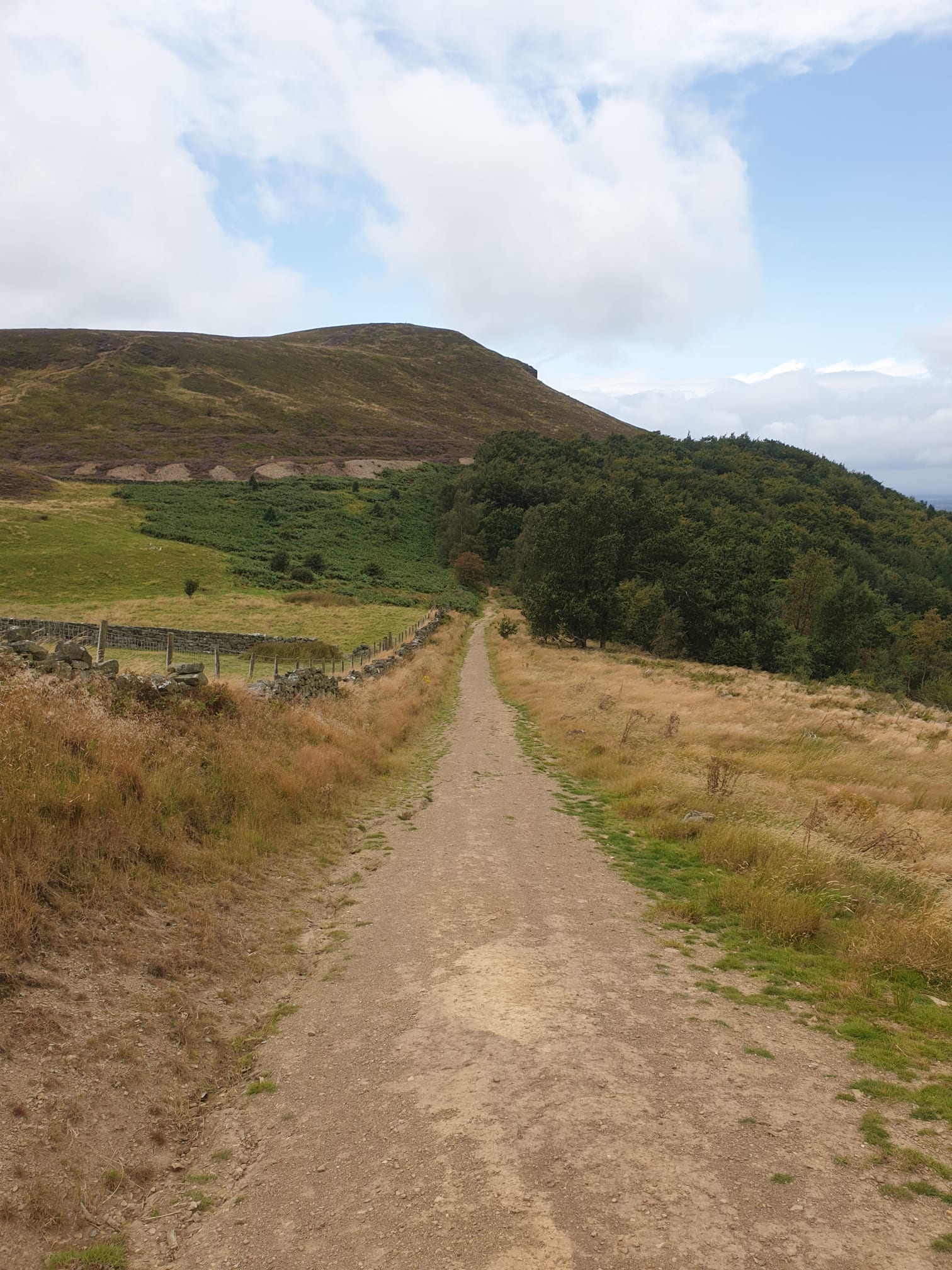
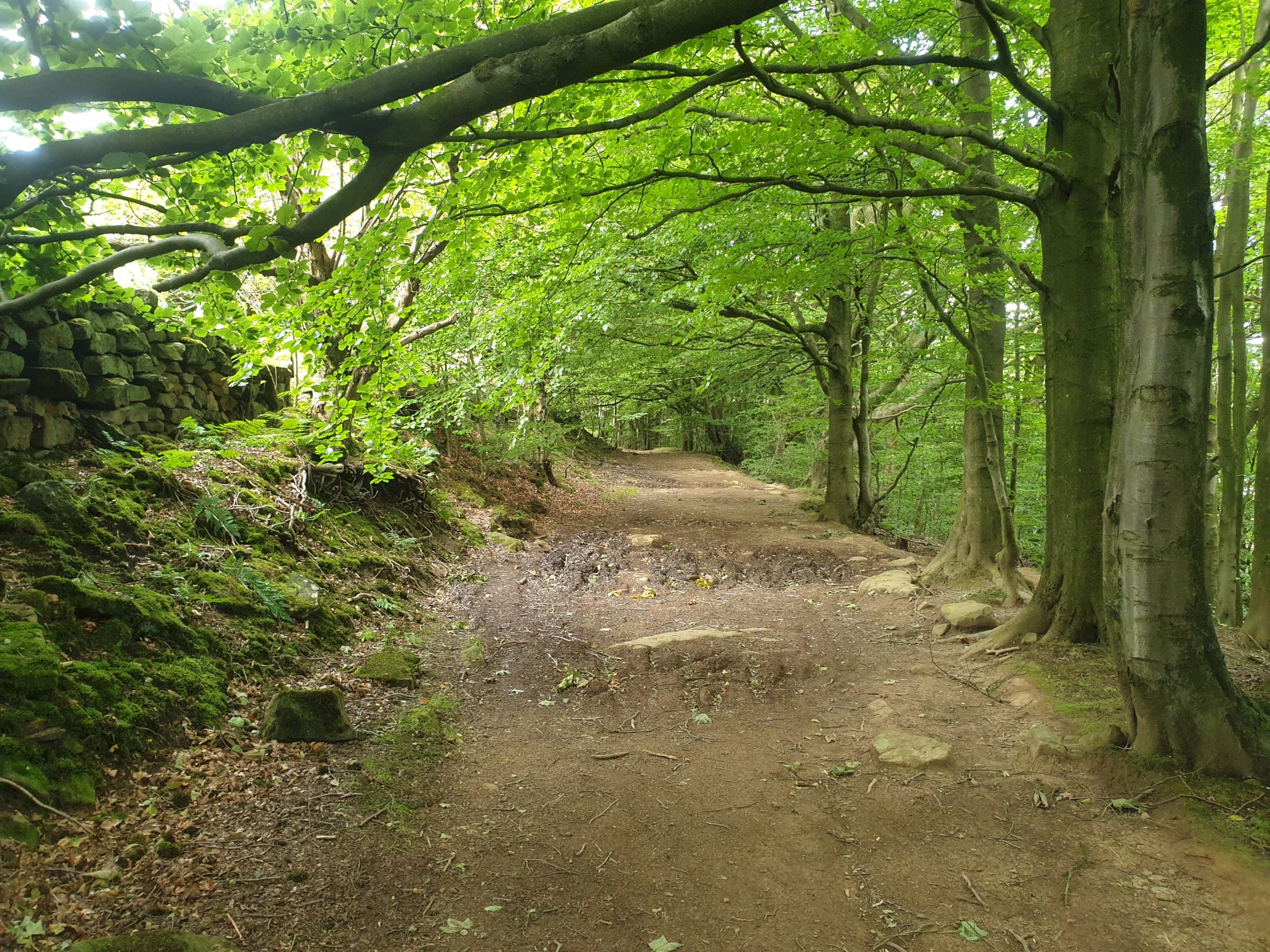
The path continues, following the edge of the woods and sometimes venturing into them.
The first peak in the distance from the lower path.

Back to the signpost we saw earlier, staying on the lower path, not heading back onto the Cleveland Way.

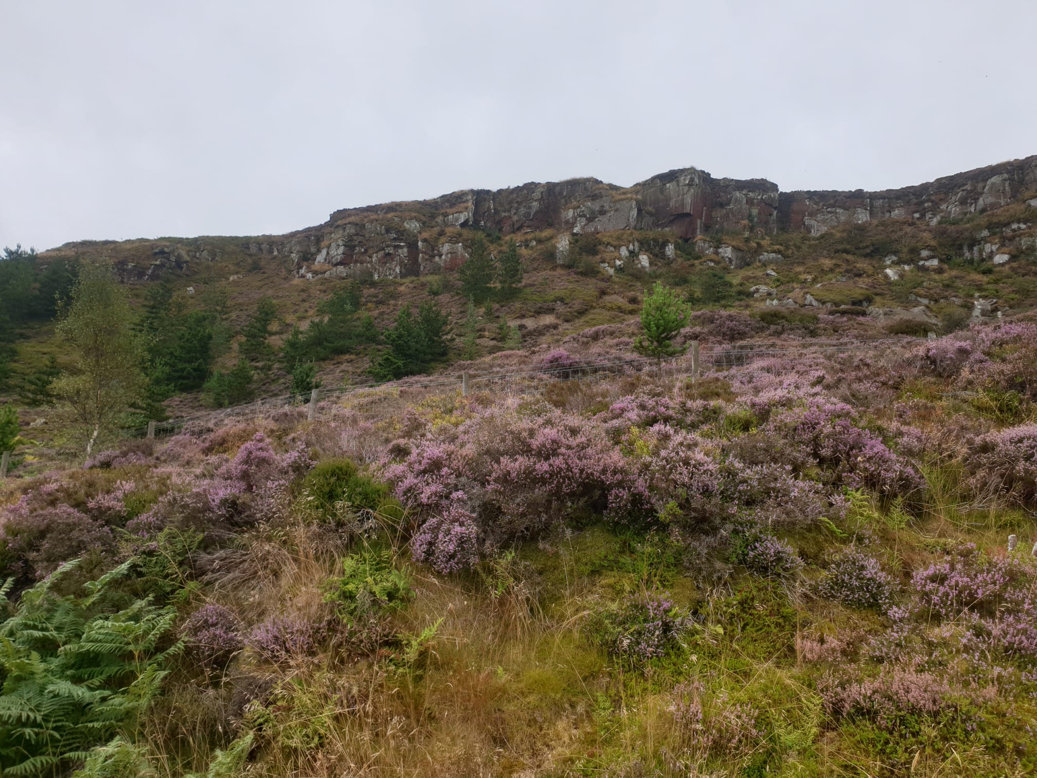
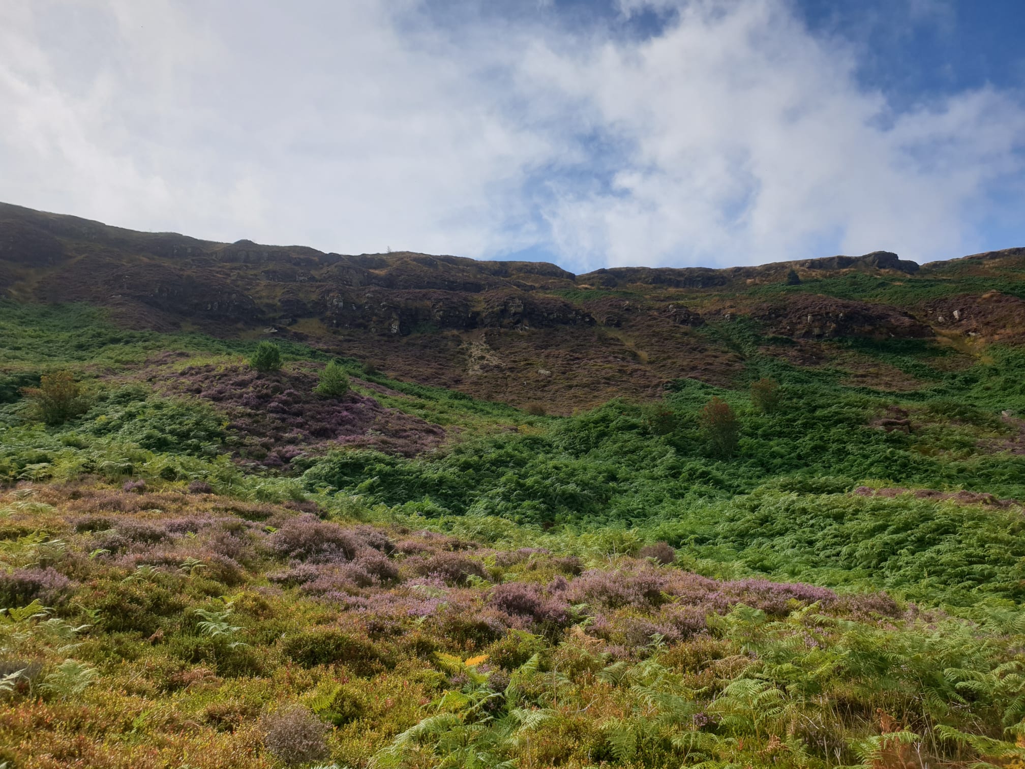
Continuous views of the clifftops we headed over earlier.
And here, looking back along the lower path to the Wainstones.

The last part of the path back to the country park is through a wooded area which you exit at the signpost mentioned at the start of this writeup.
