This route is very close to two other Teesside tours. Captain Cook’s Monument and Kildale Woods and passing close to the Loop around Rosey at Dikes Lane.
Starting at Fletchers Farm on the outskirts of Great Ayton here and heading east, anticlockwise through Easby Wood and the bluebells. Then its uphill to near Captain Cook’s Monument and looping around Kildale Woods, following the River Leven for more bluebells and a waterfall. Heading back with an uphill past Bankside Farm and then west through the plantation at Coate Moor and beyond.


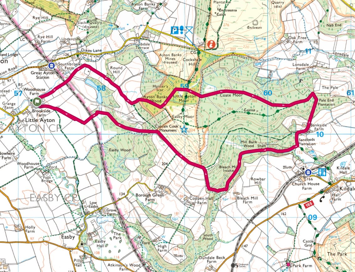
On this particular day the weather forecast was a little…late, with the sun coming out an hour later than expected. Here’s Tiggy parked up at the farm with some cloudy weather about.

Heading south east from the car park, follow this gravel track past some chickens and goats which in this weather decided to stay in their houses.
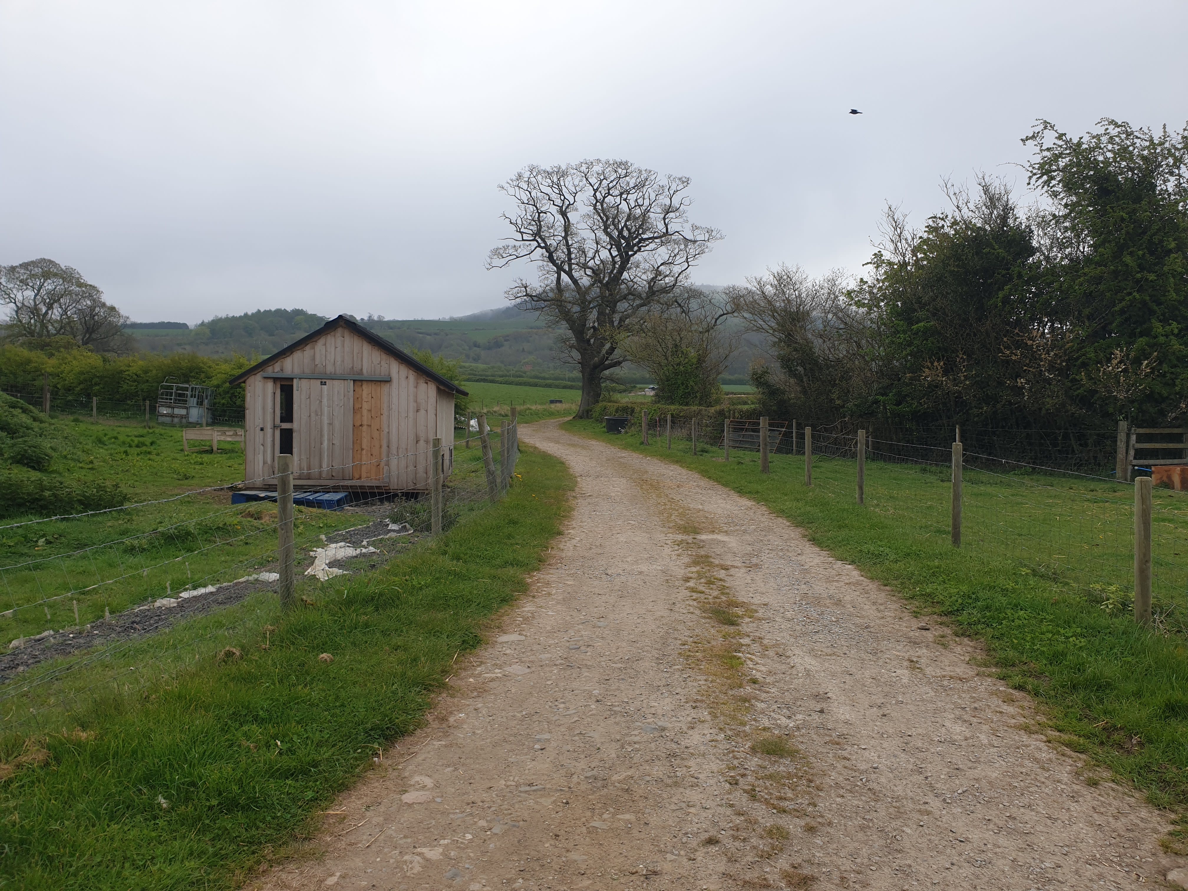
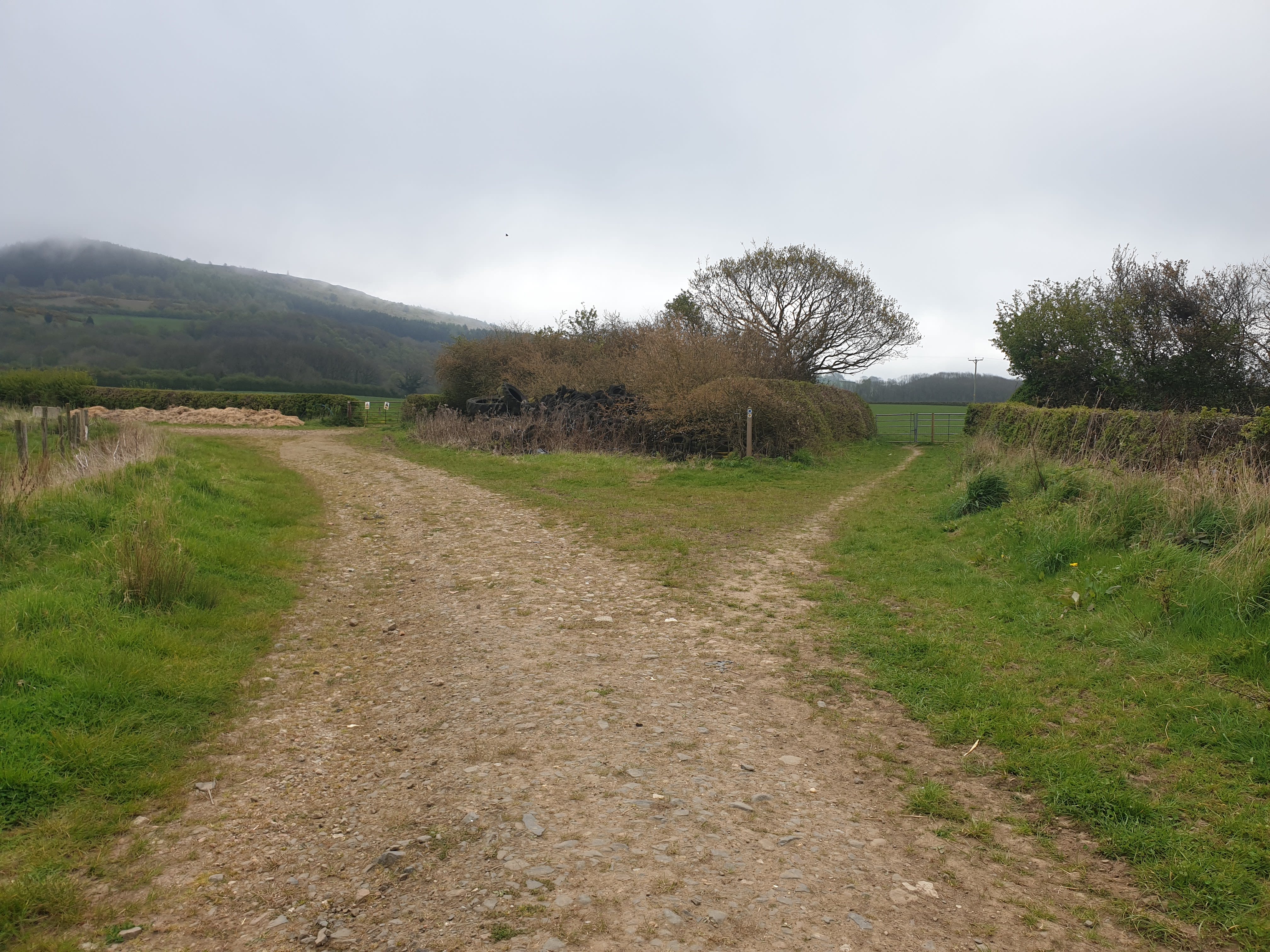
Not far along the track there is a fork in the path, take the track on the left. Also note hear the cloudy hilltop on the left, quite a different view at the end of this trek.
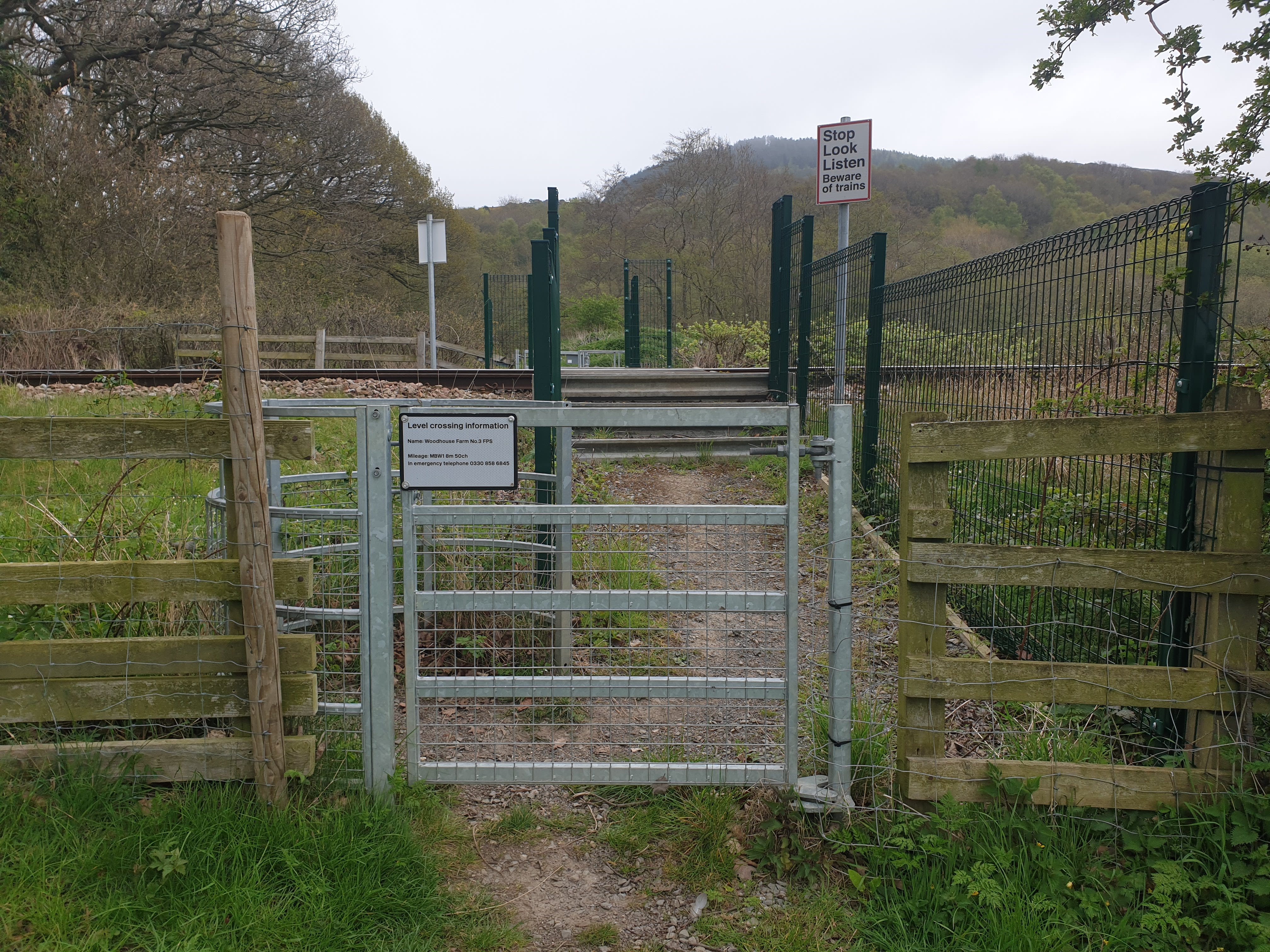
Keep following the path along the edge of a couple of fields, turning left at the end of the field and crossing the railway line.

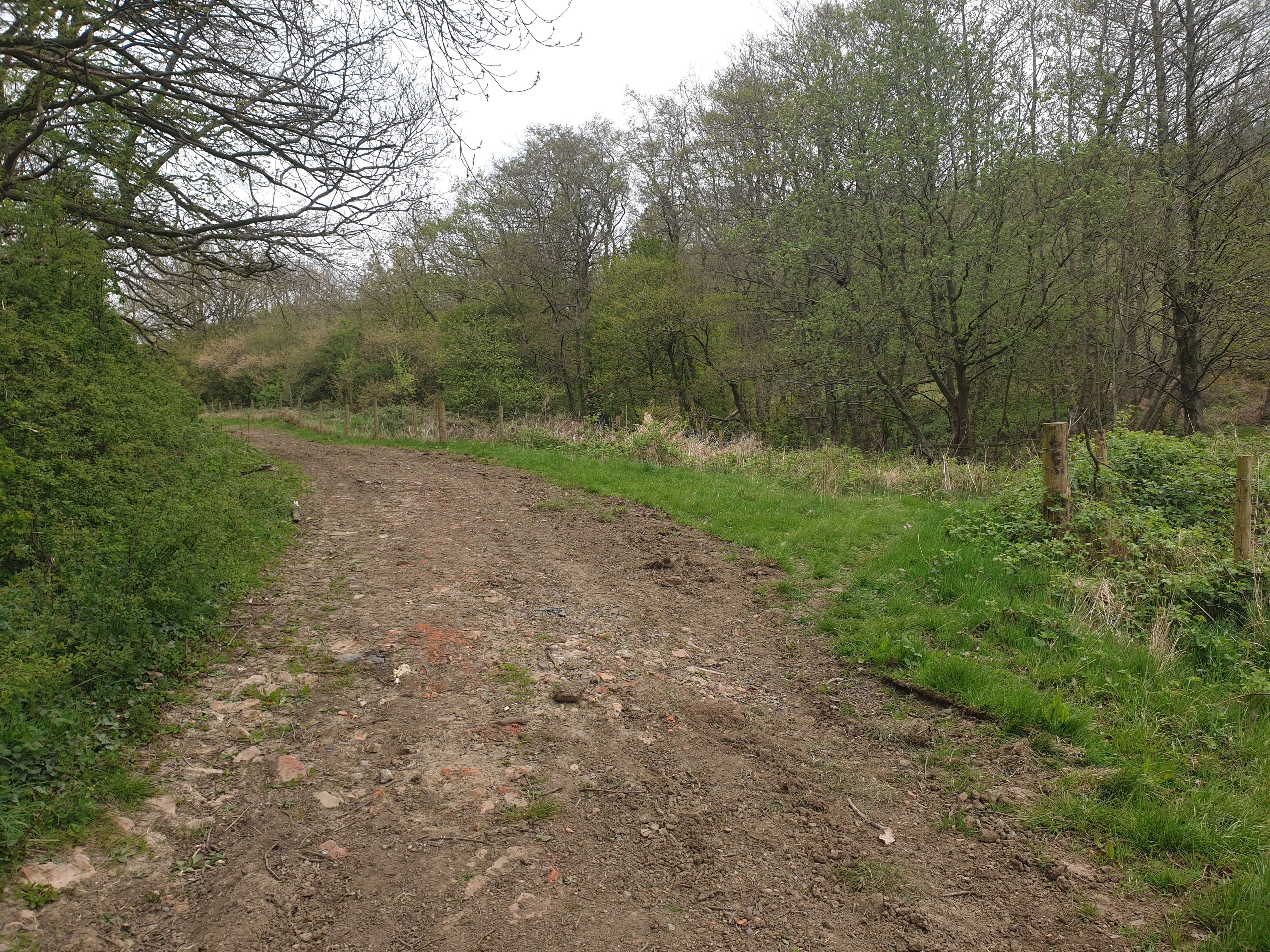
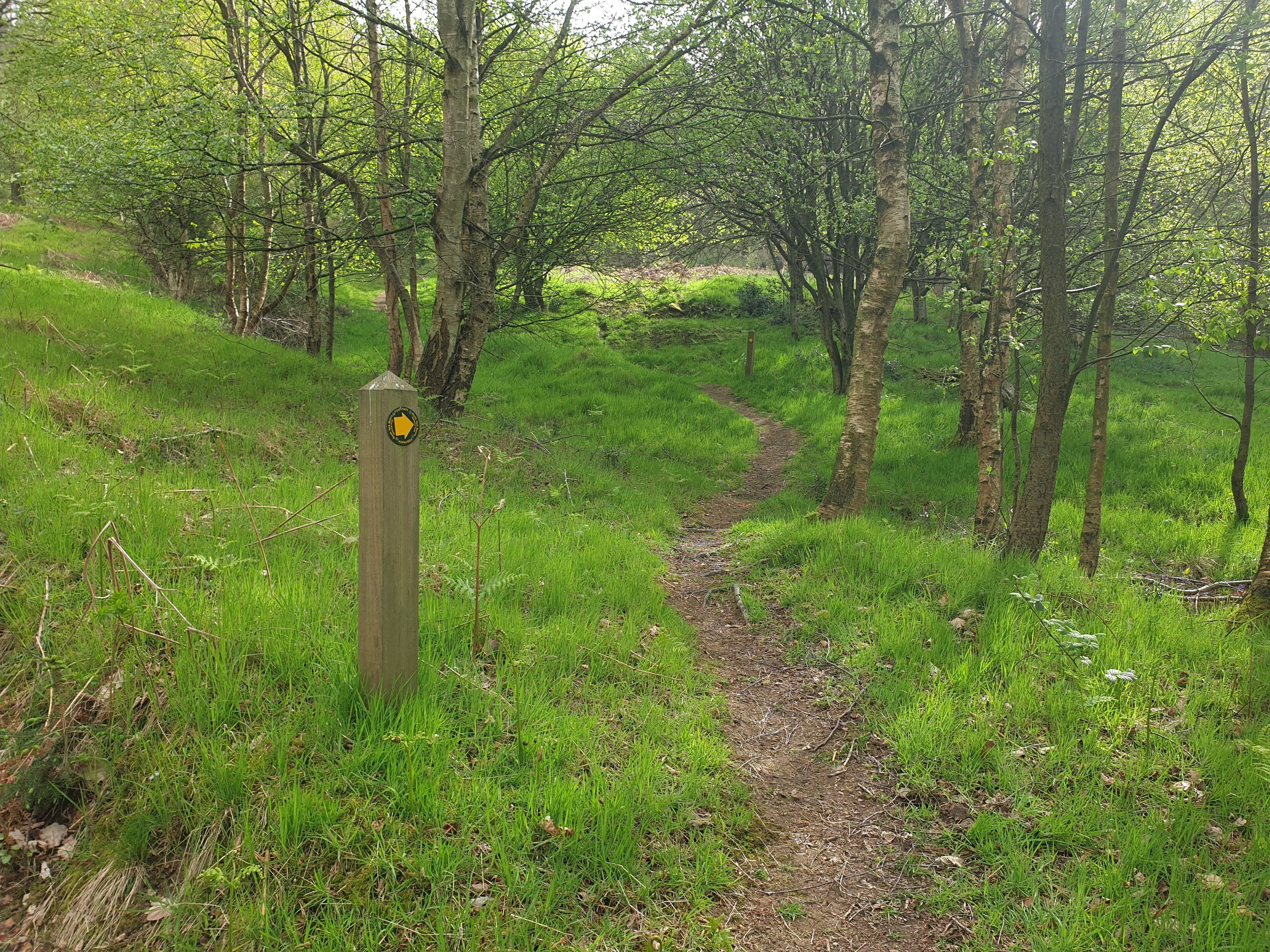
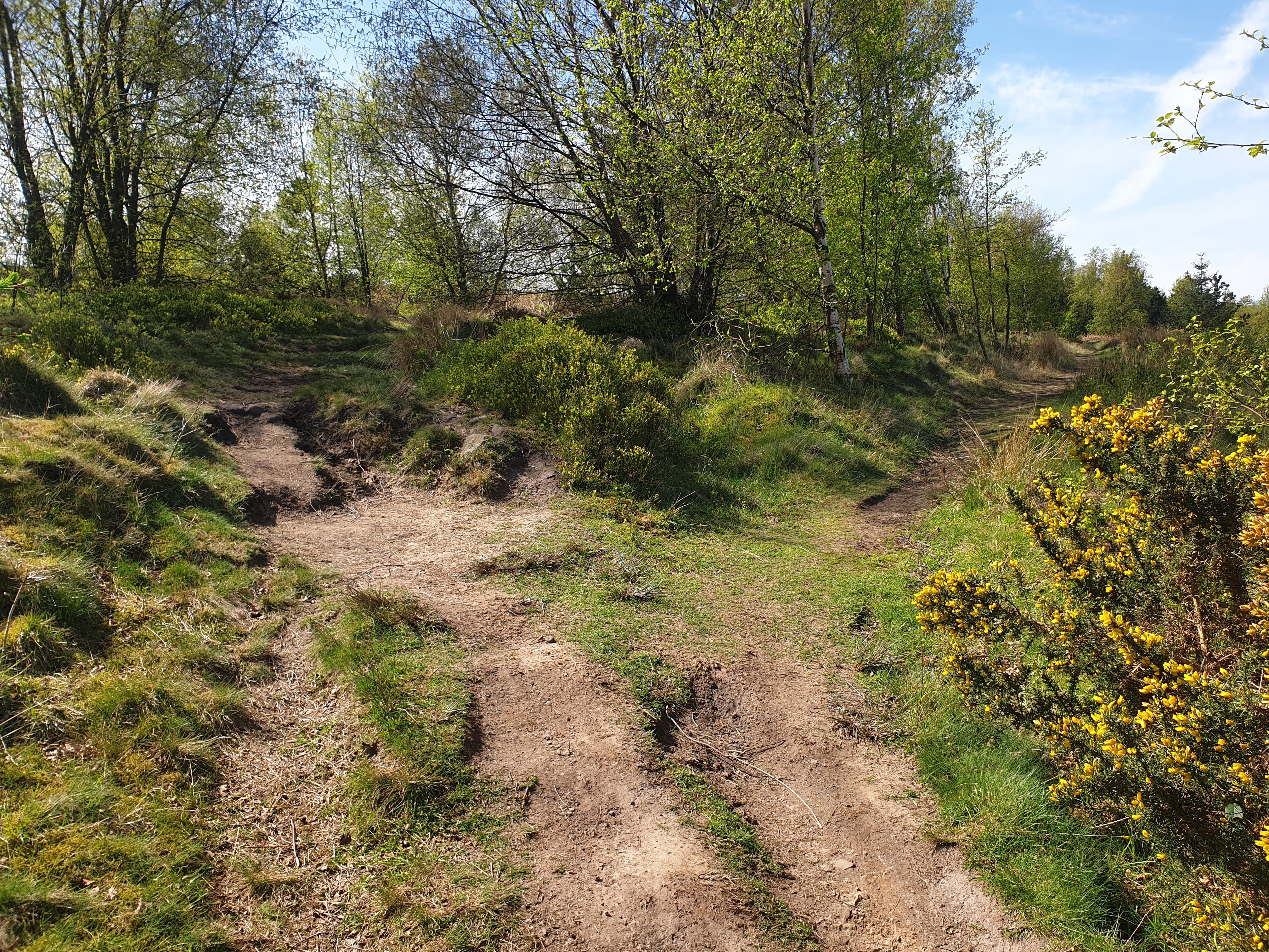
Keep following the path a little uphill where it becomes more of a dirt track. It’s a little difficult to spot, hence the pic below, showing the barely visible footpath off to the right which you take to get to Easby Wood.
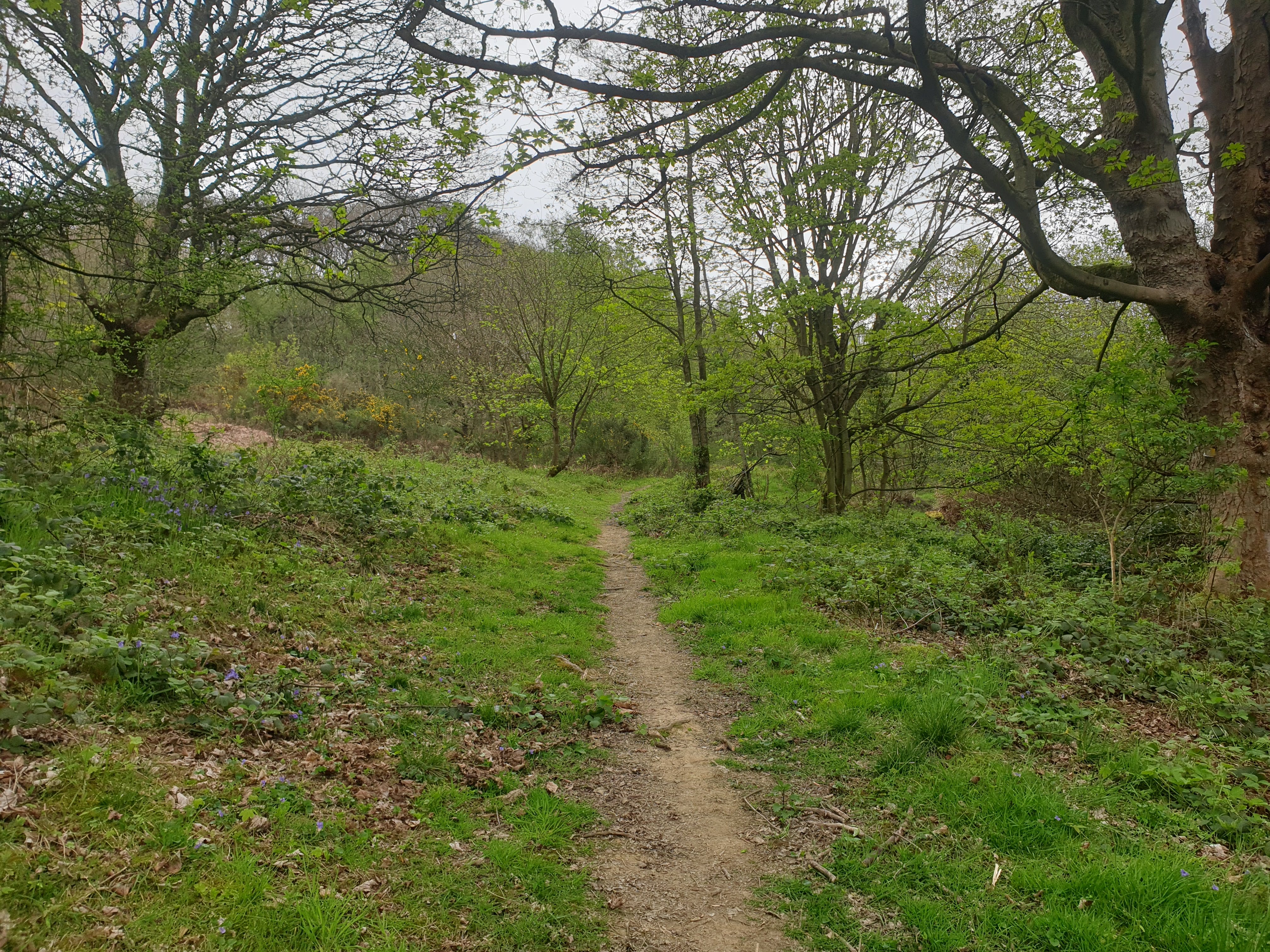
It’s then a case of following the footpath through the woods. There are a few footpaths here and there but keep on the main path heading east.
Finally, an hour later than expected, the sun started to show up!
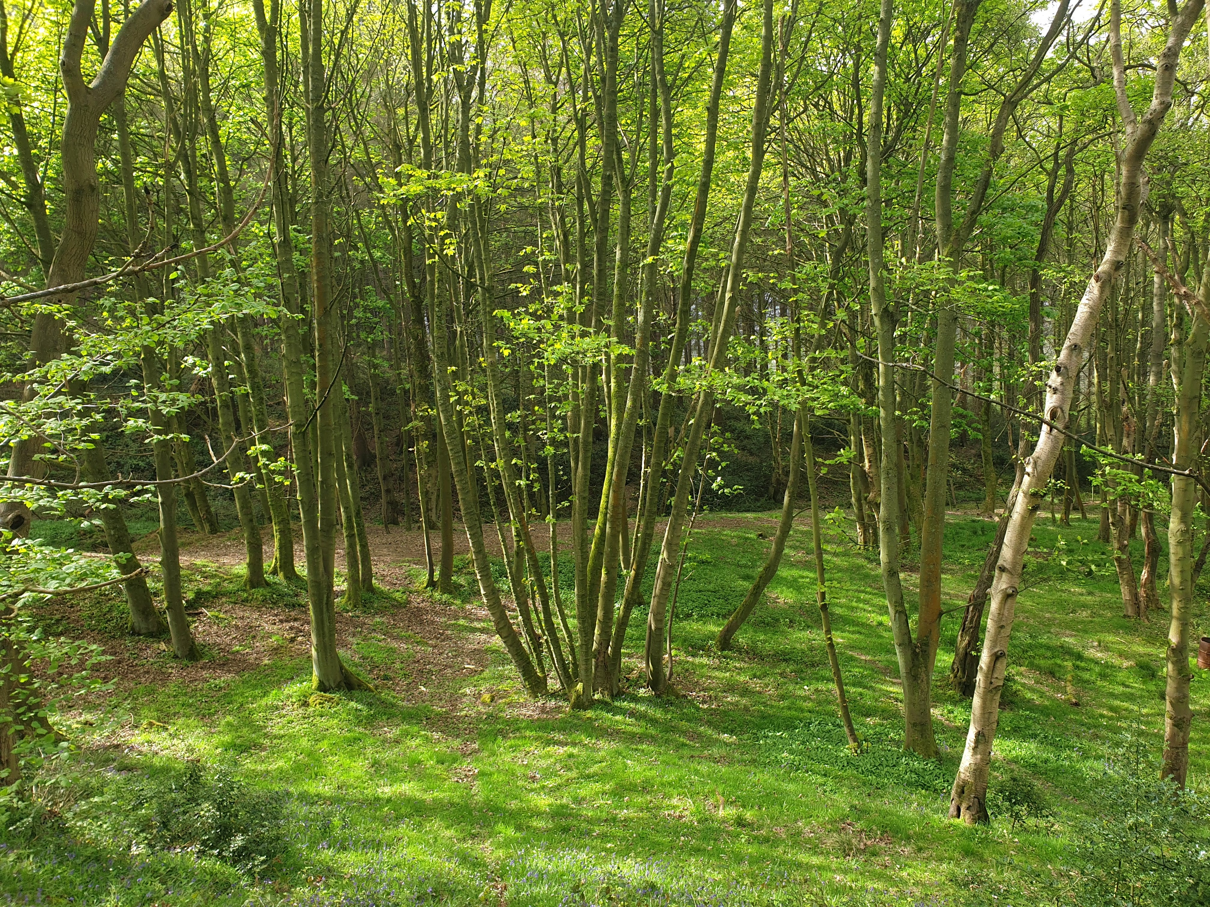
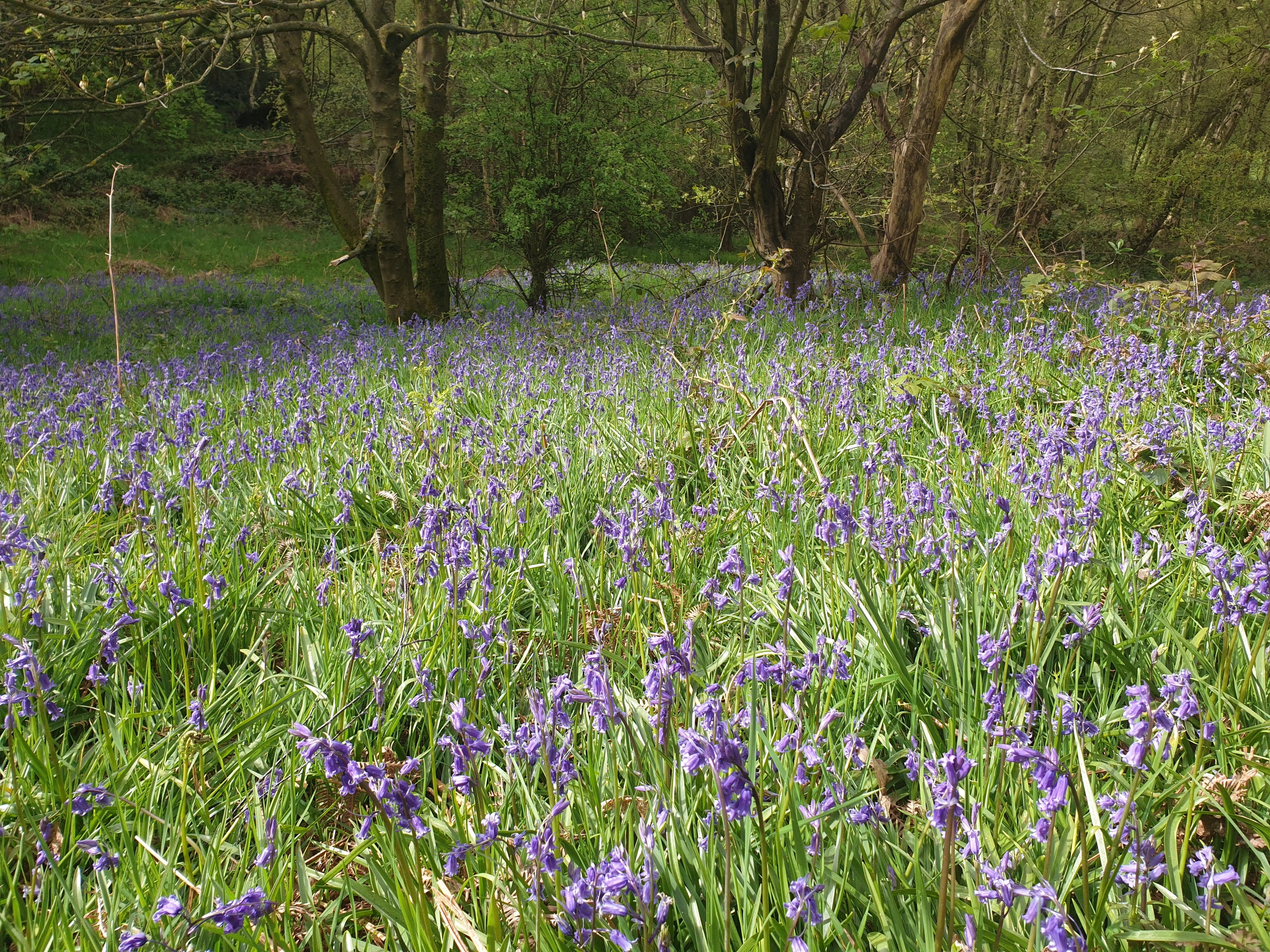
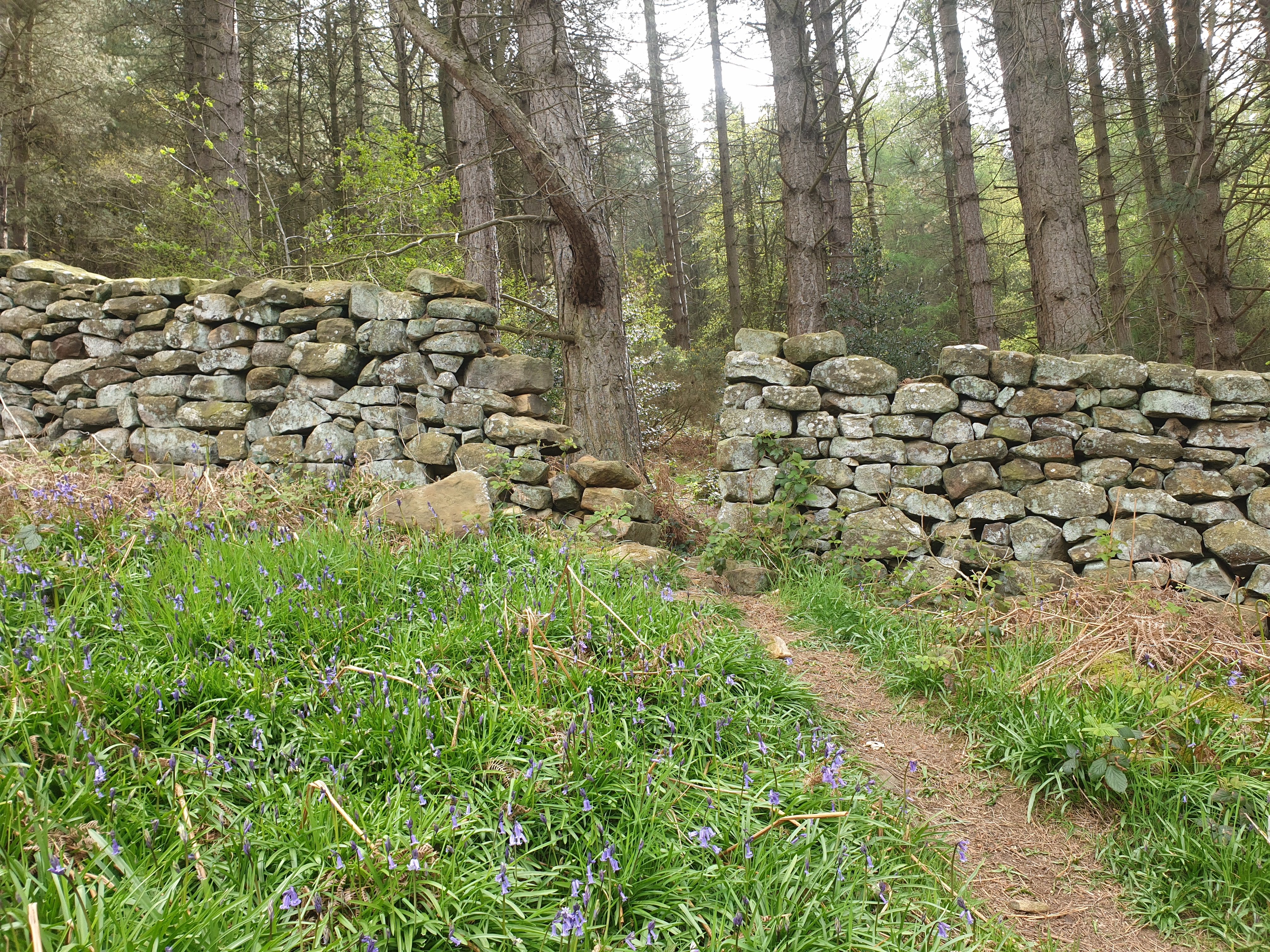
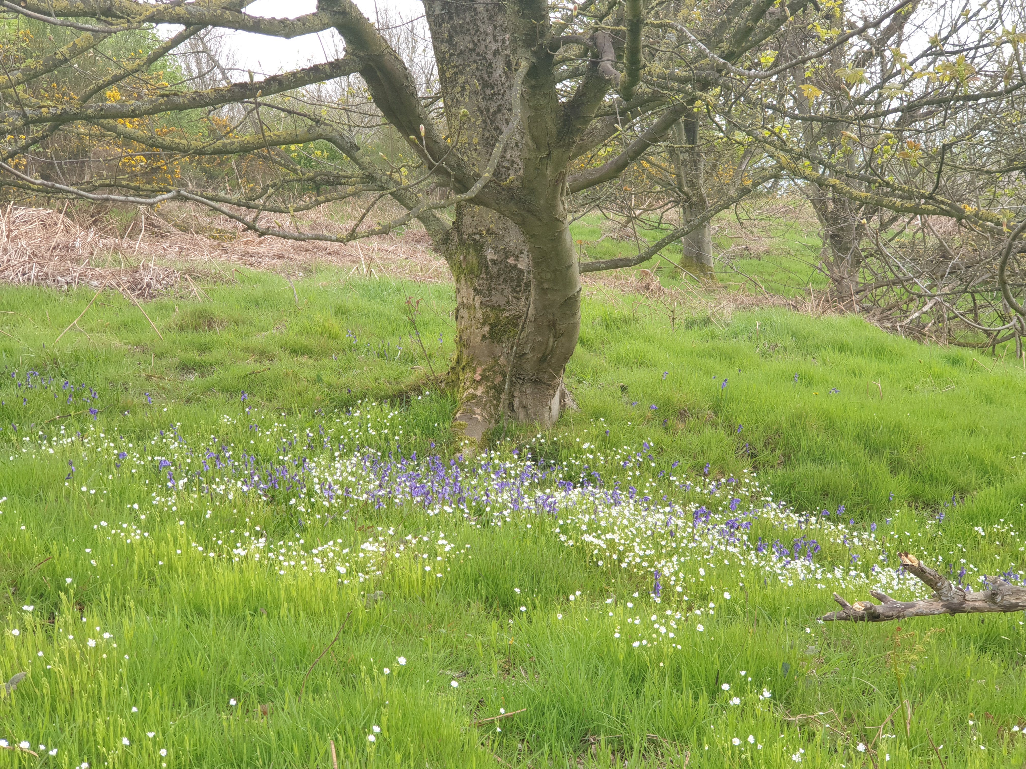
All along this path in April and May you’ll see plenty of Bluebells.
Along the path, still heading east, you’ll pass by “The Picnic Tree”. A dog walking picnic spot, handy for sitting down with the trunk and branches being at various height.
Continue along the path which then leaves the woods and passes through a field. Just follow the signs.
A little uphill and through this gap in the wall and back into some woods.
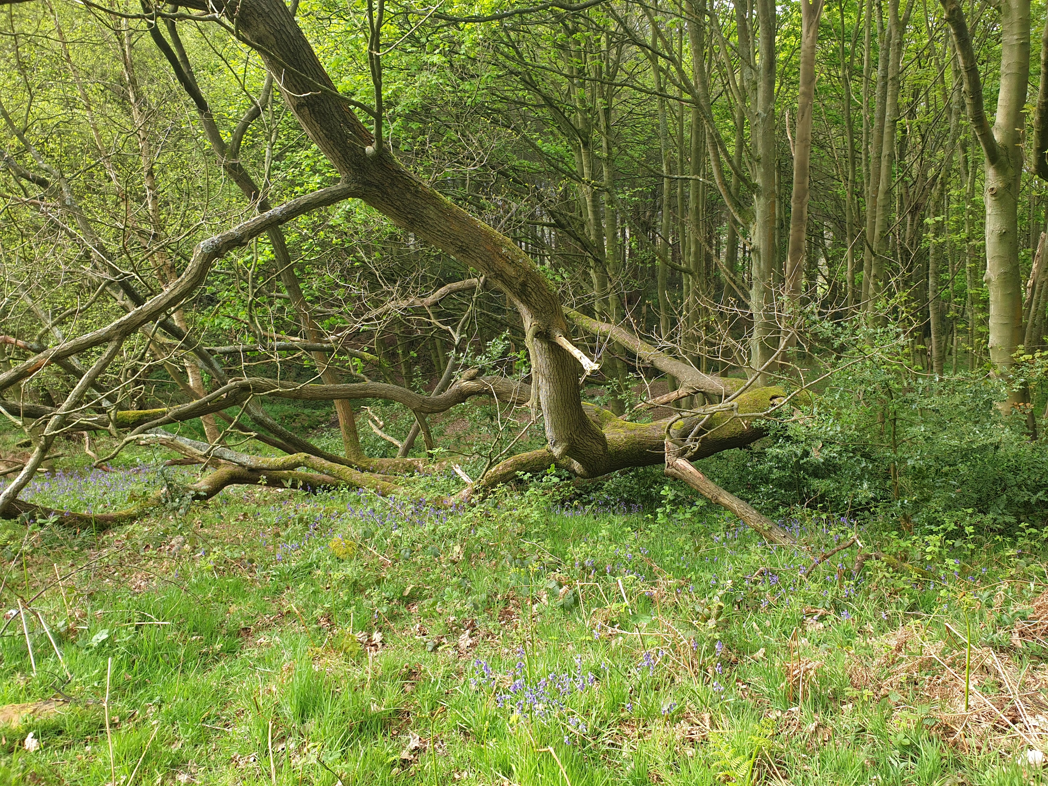
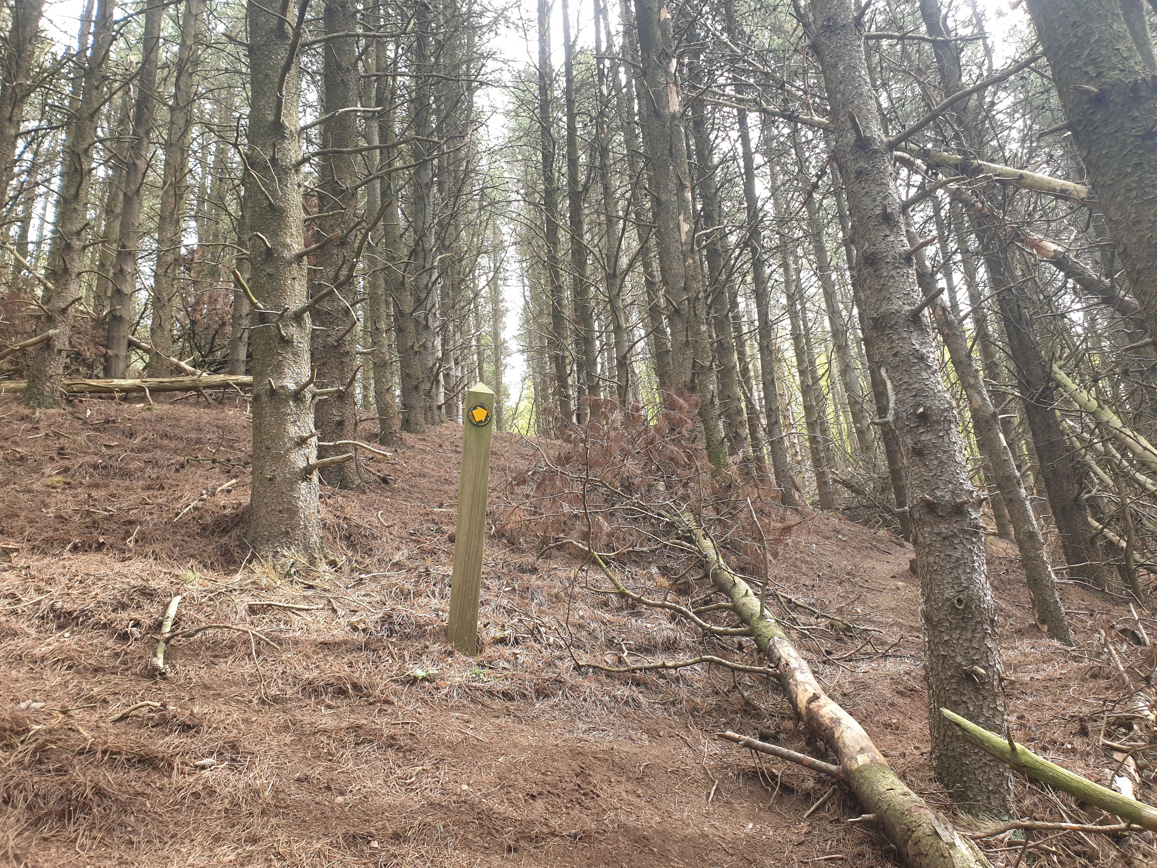
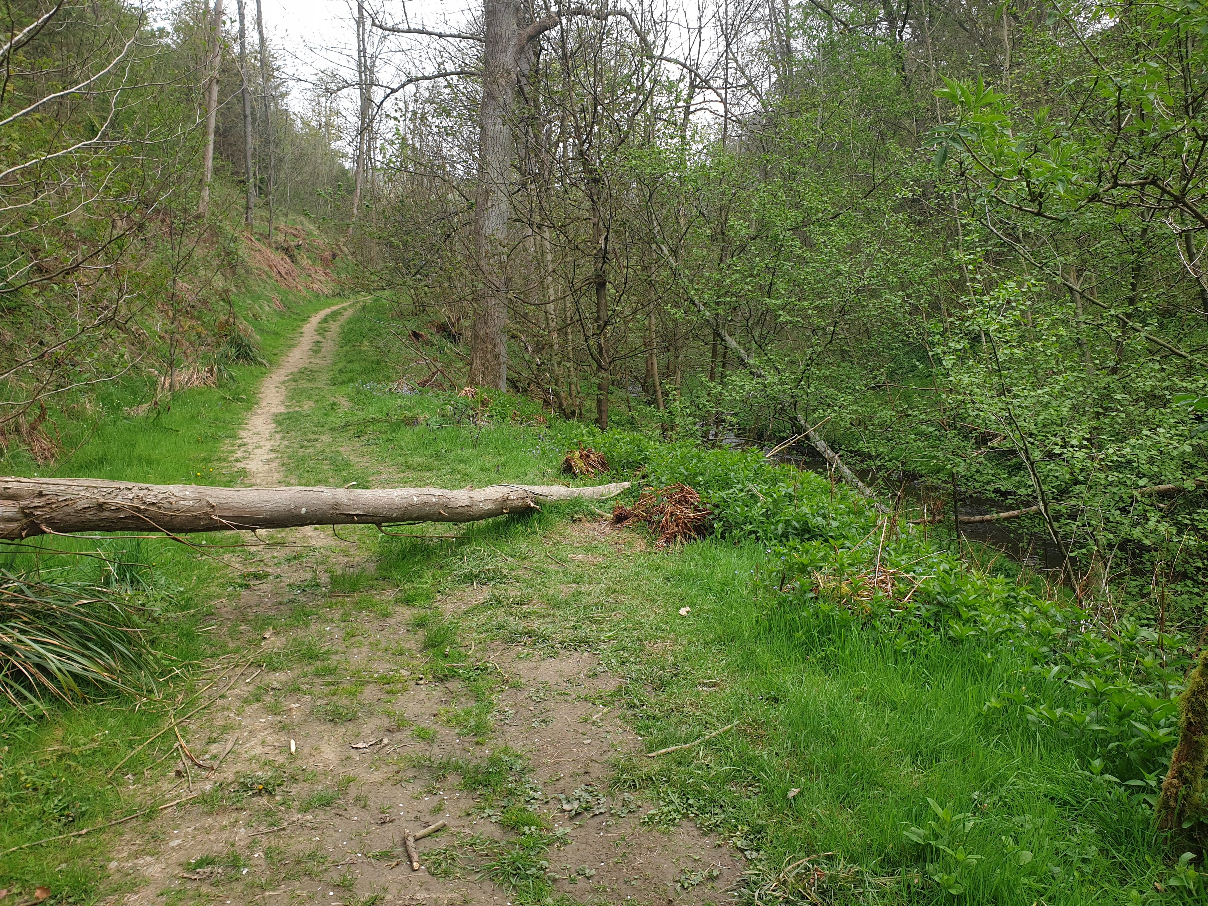
Follow the signs as the path turns off to the right and currently, over this fallen tree.
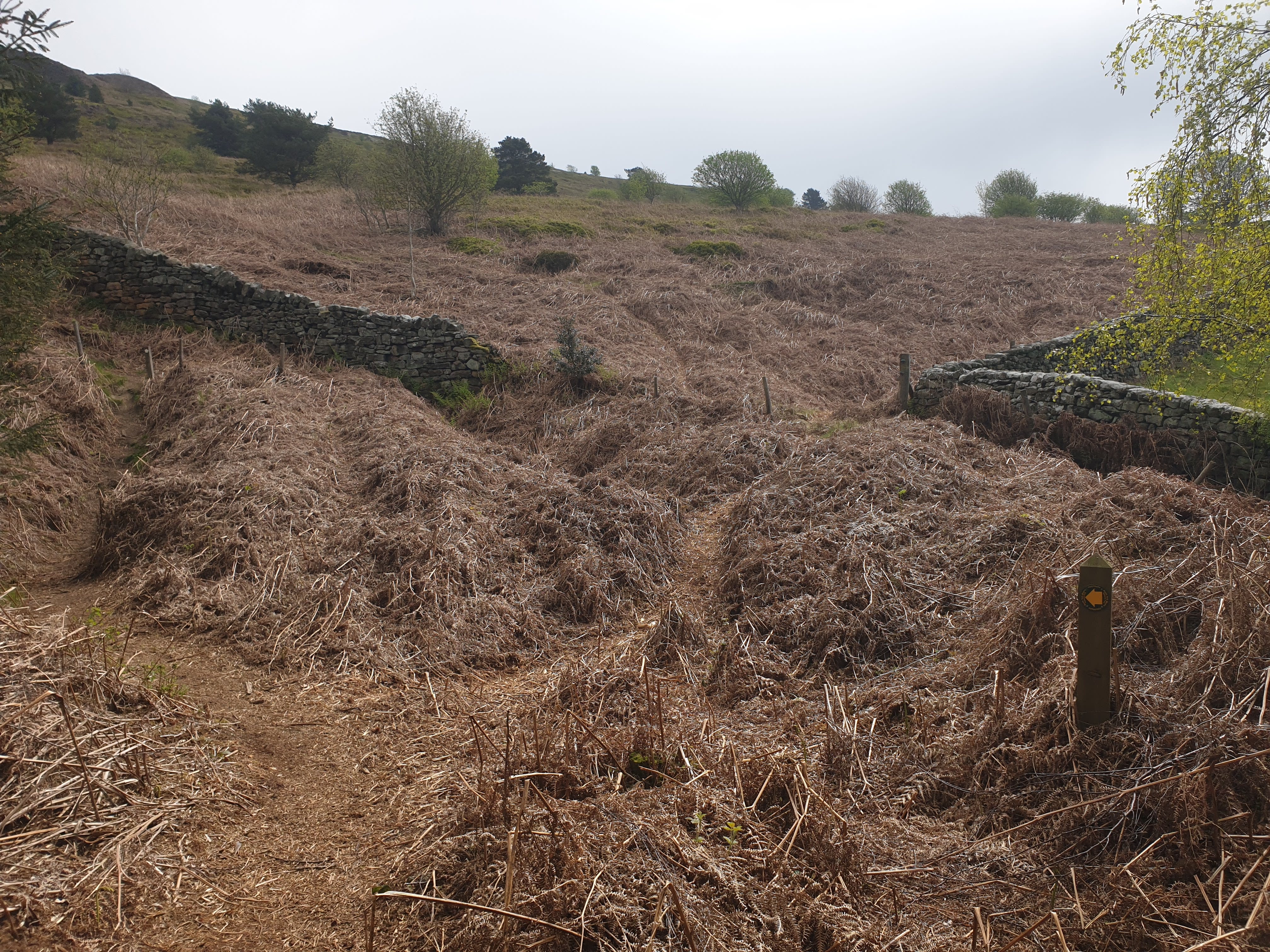
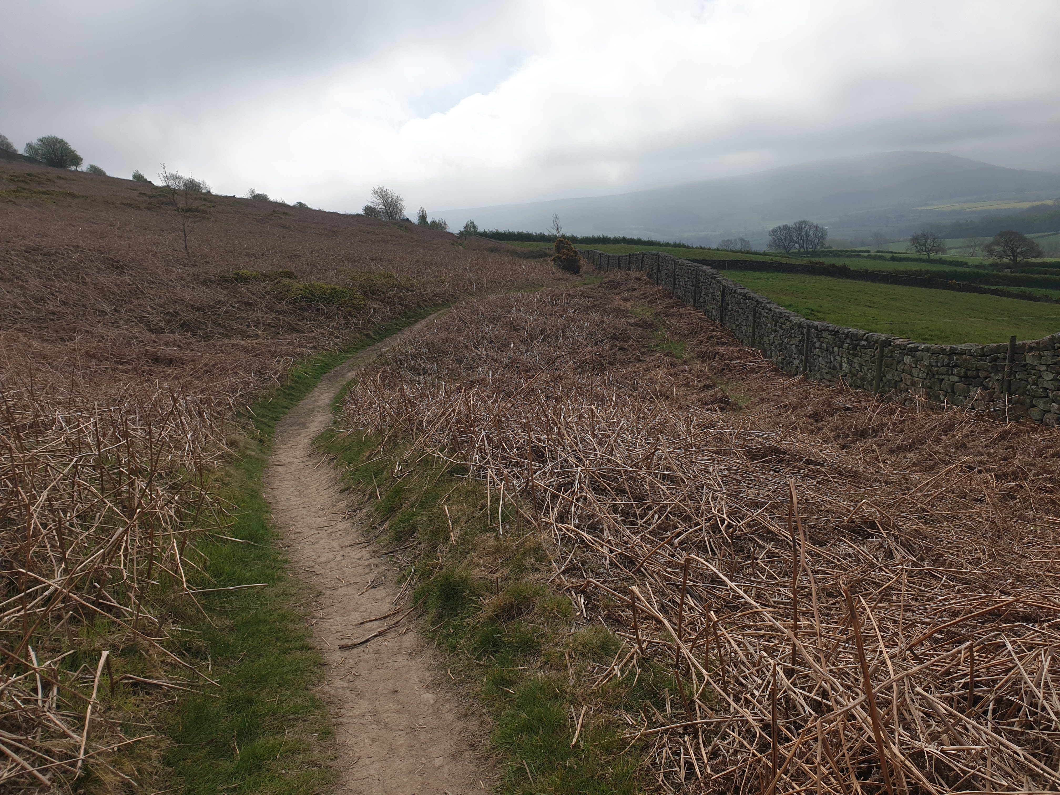
Just a short, uphill trek and you’re out of the woods again at quite a junction of paths and signs. This route takes us off to the right, following the drystone wall on the right of this pic but keeping the wall and fields beyond on your right as you head south east.
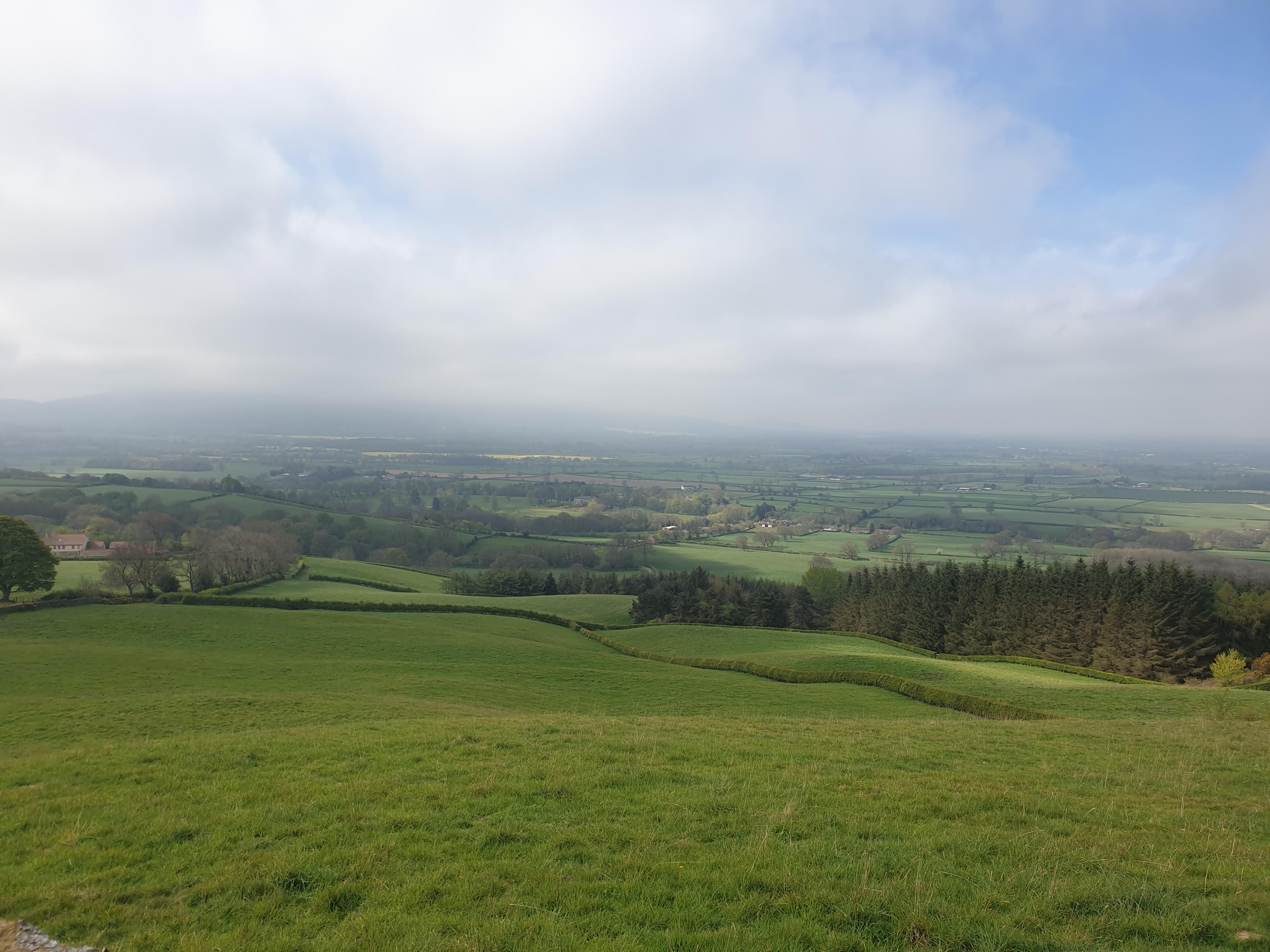
With the hill and Easby Moor on your left keep following the path by the wall with these views to the right across Easby and beyond.
Further along the path is another popular family dog walking picnic spot in the corner of this field by the footpath down to Borough Green Farm. This route doesn’t follow that path down, we’re continuing south east following the wall.
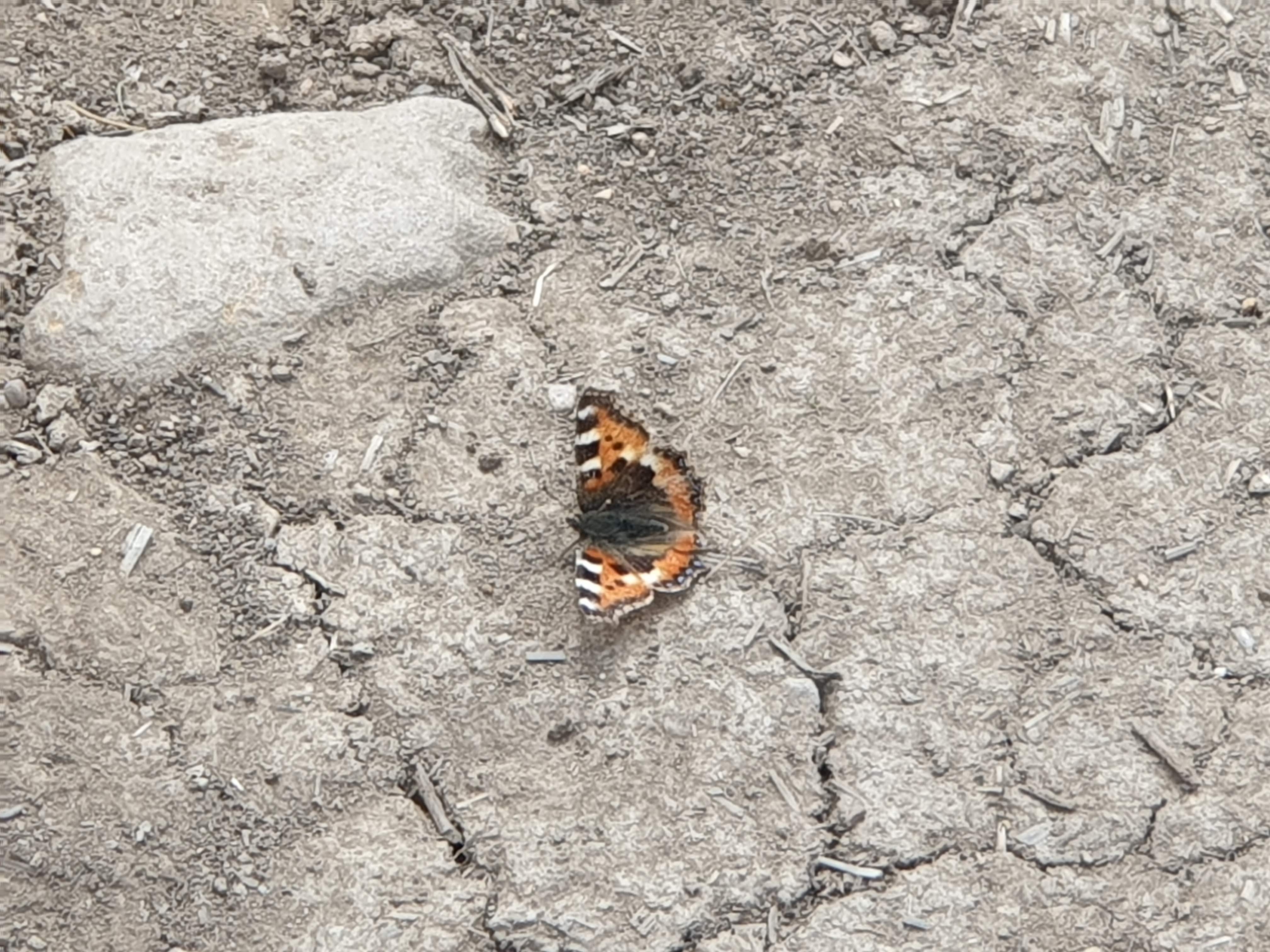
Watch your step!
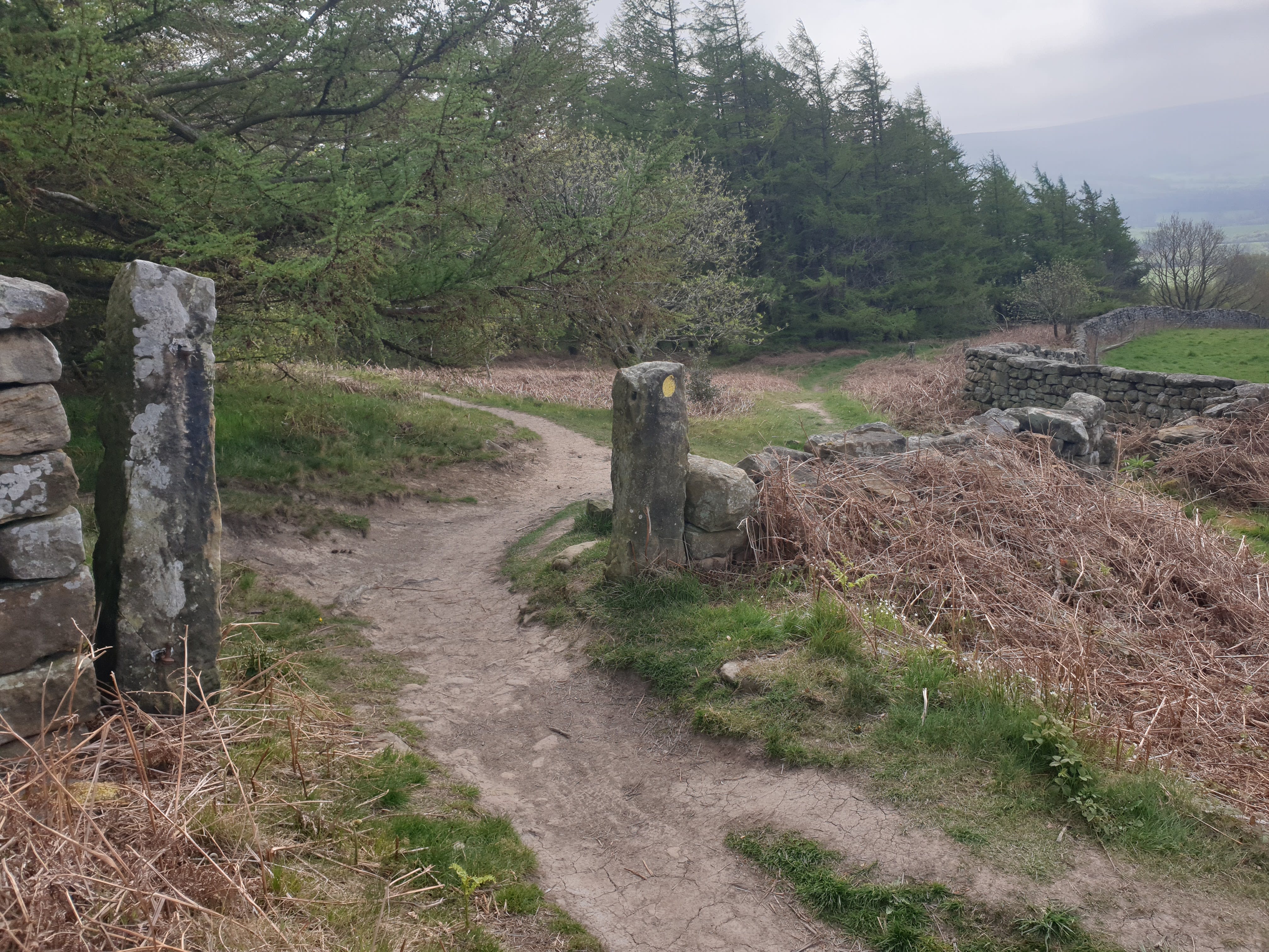
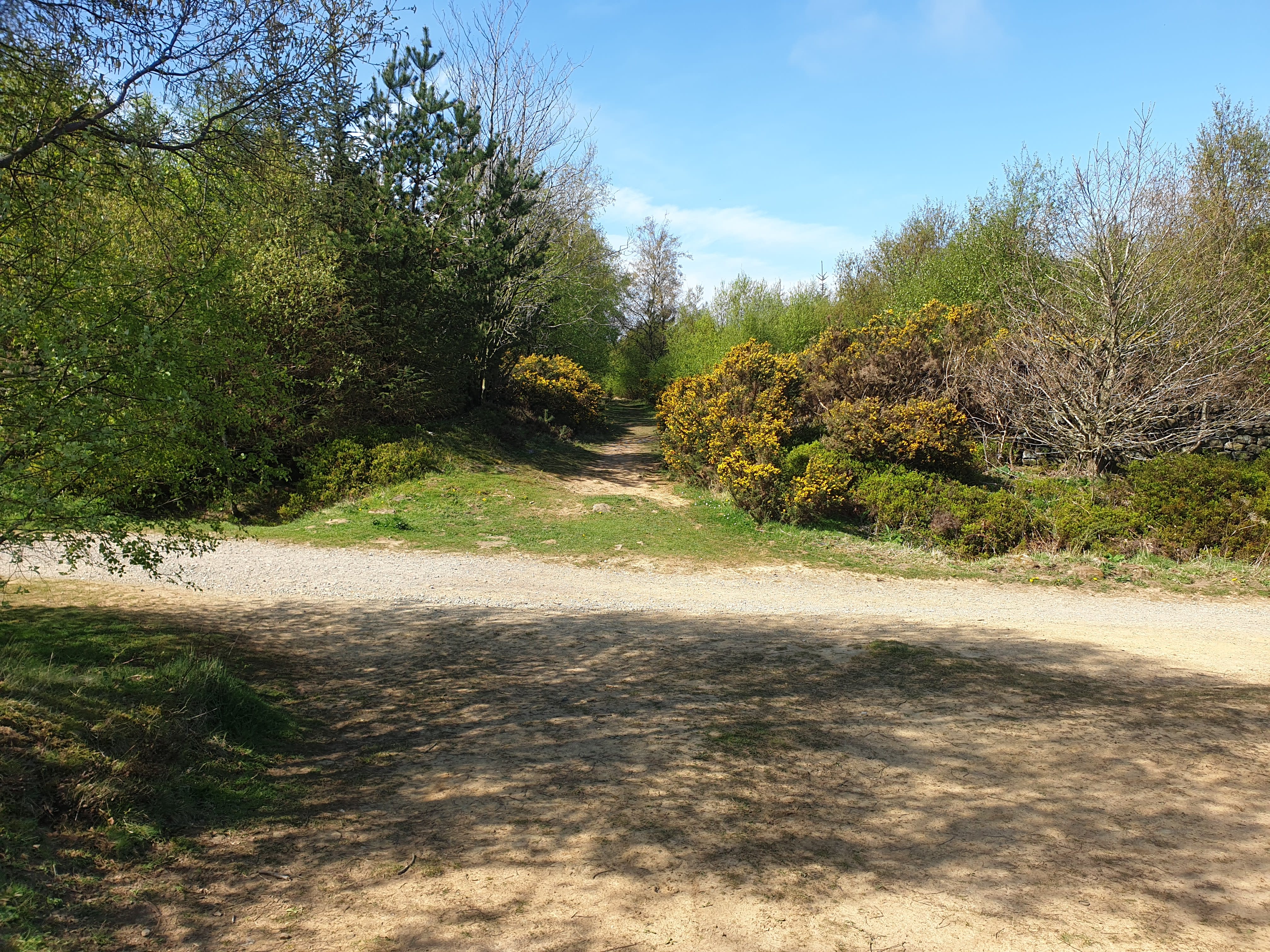
After following the path for around half a mile you get to this junction of paths. Take the path to the right, heading south with the trees on your left and a drystone wall on your right.
Through the Gorse bushes, watch the spikes.
![]()
Down the hill turning left at the bottom eventually heading north east following the River Leven to the right.
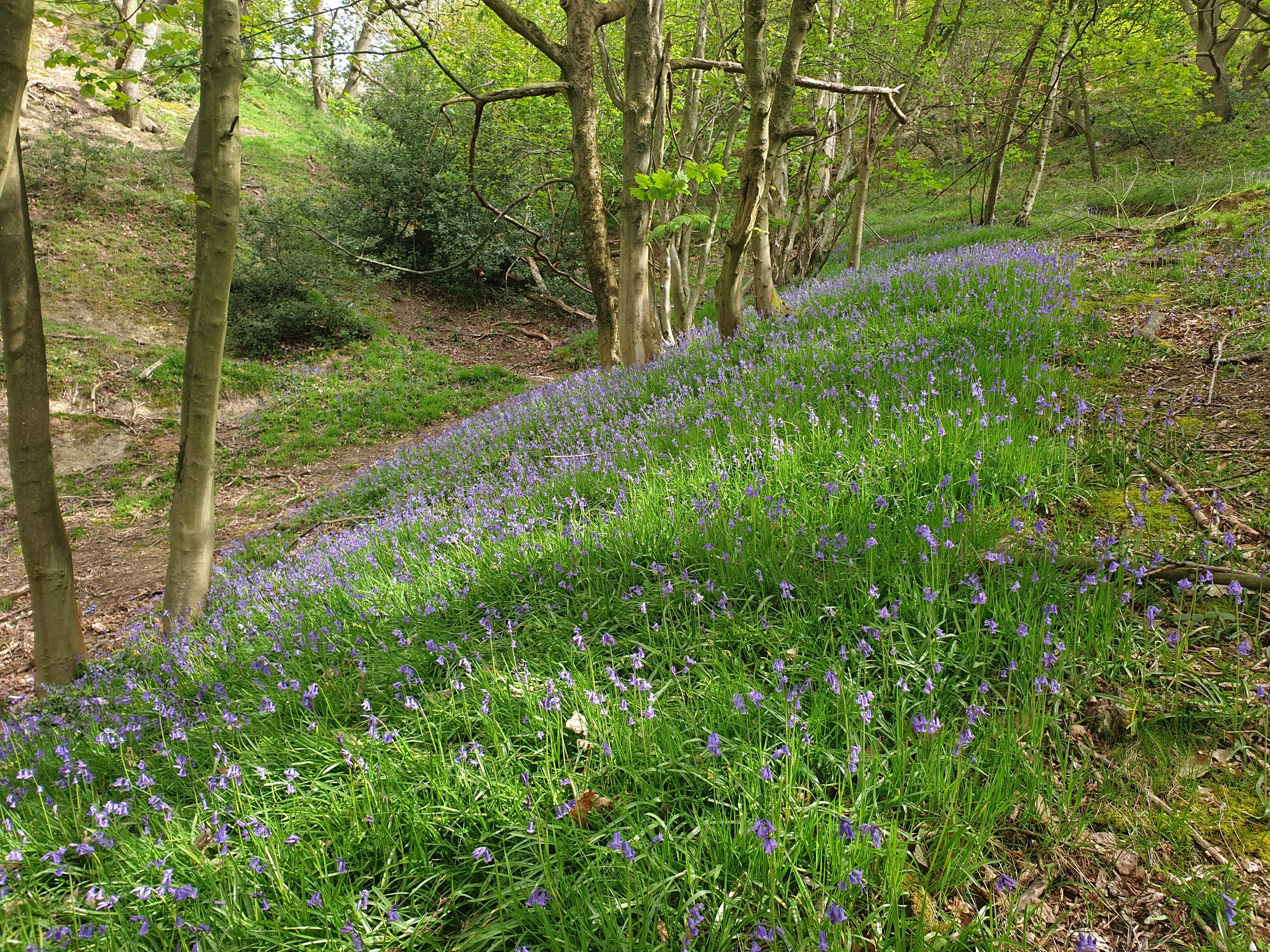
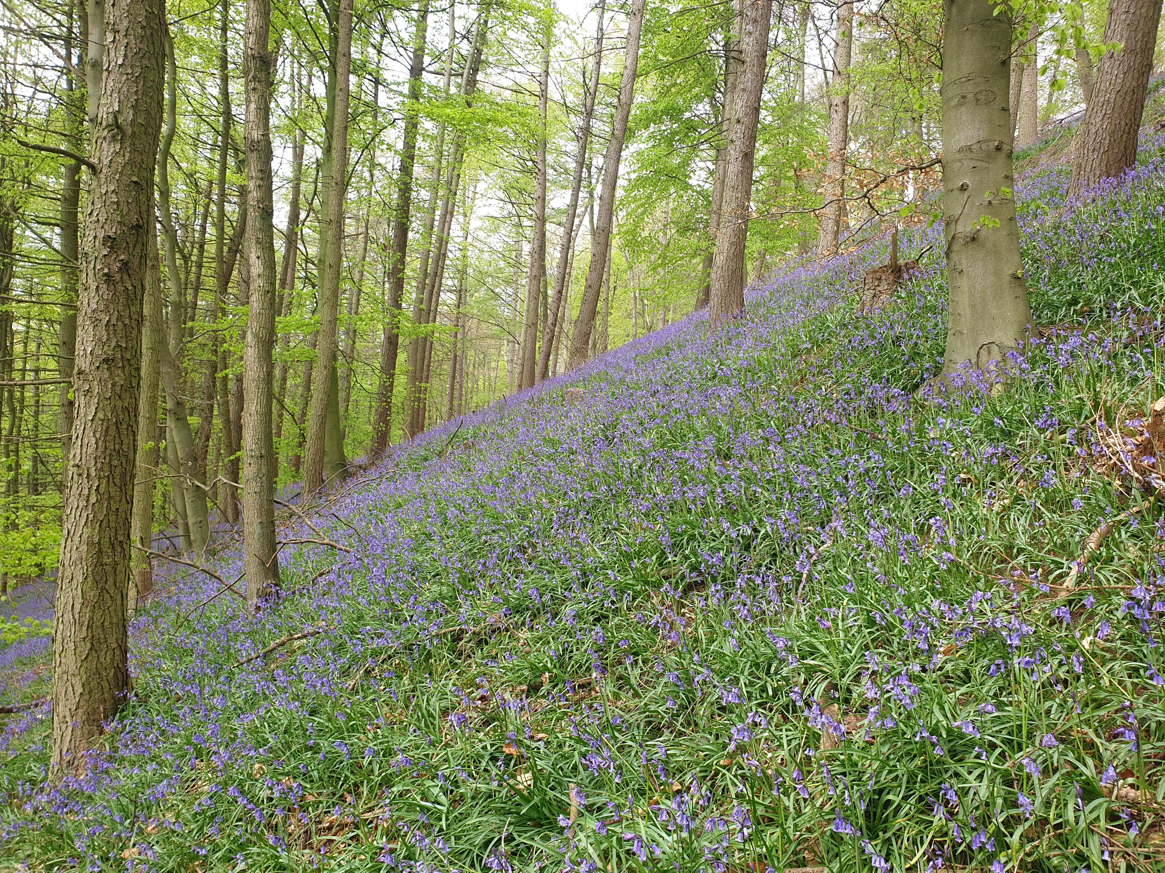
With plenty more Bluebells on the route in Mill Bank Wood.
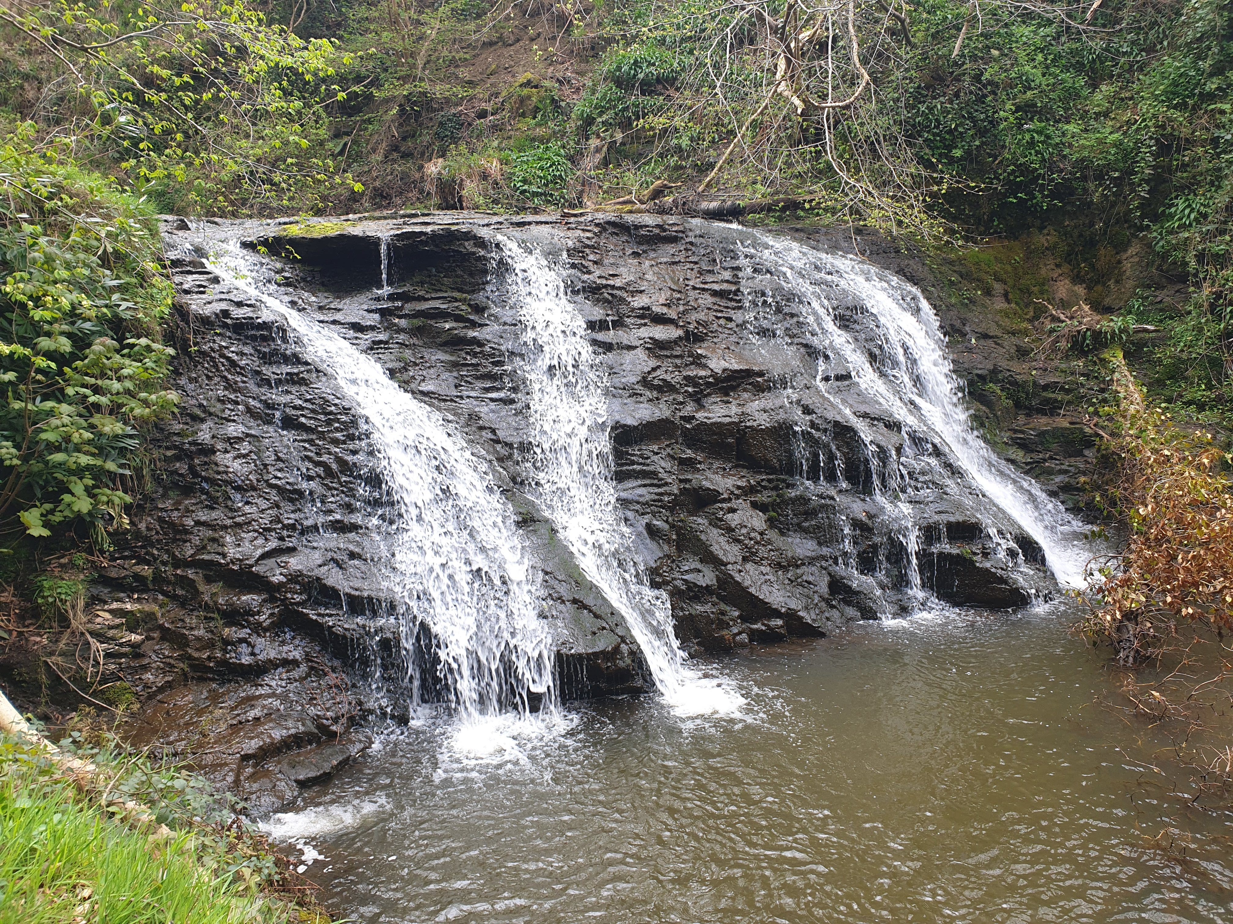
After a short distance, and a couple of fallen trees, the track passes a waterfall. I’ve never seen this waterfall mentioned on OS Maps or Google Maps, must be a secret. It is on Kildale Estate private land so you can’t get close, just view it from the track.
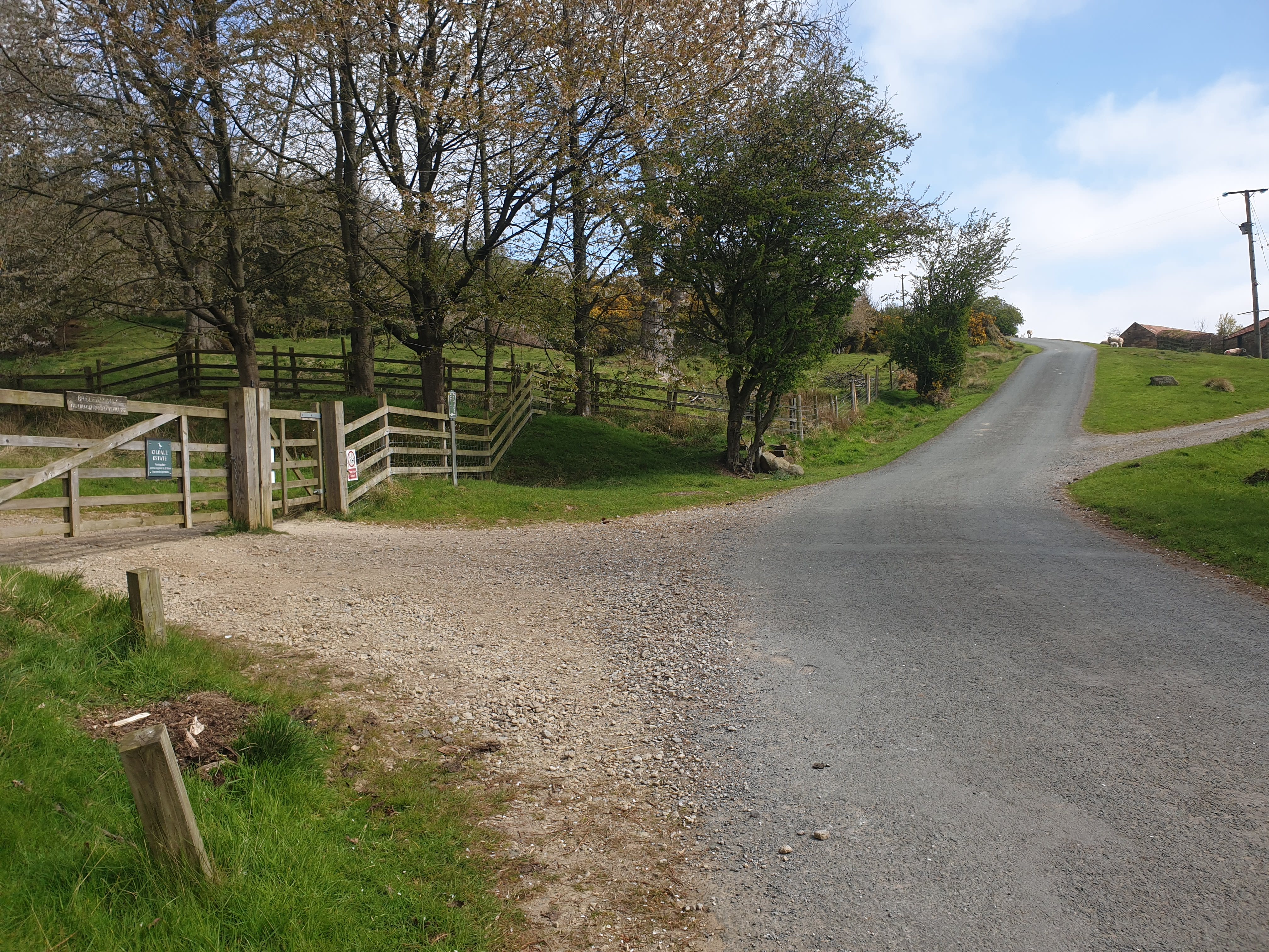
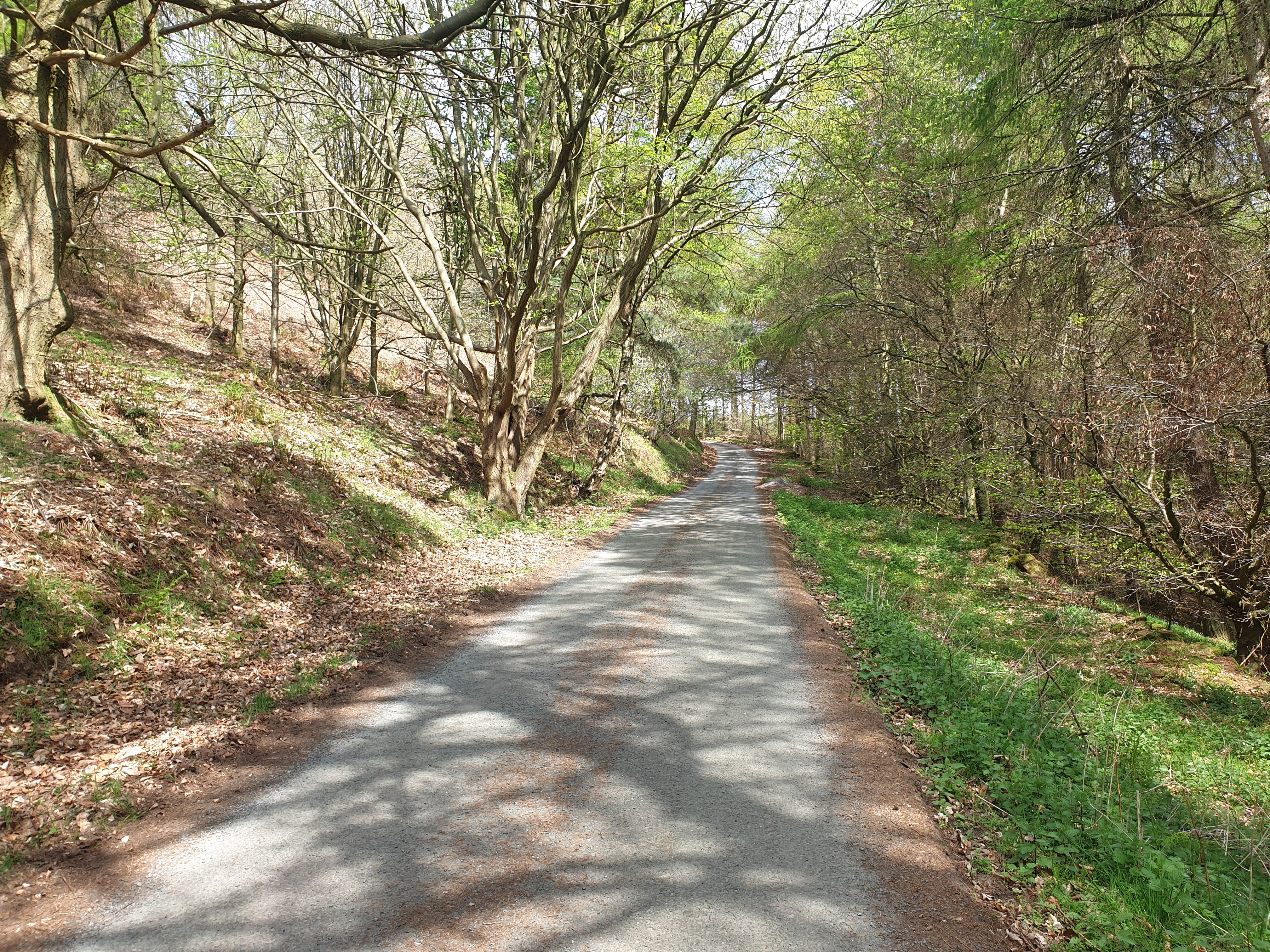
After taking in the waterfall and river keep following the track east where it joins a road at Sandbeds Plantation, this is part of the Cleveland Way. Turn left, following the road north, uphill past Bankside Farm.
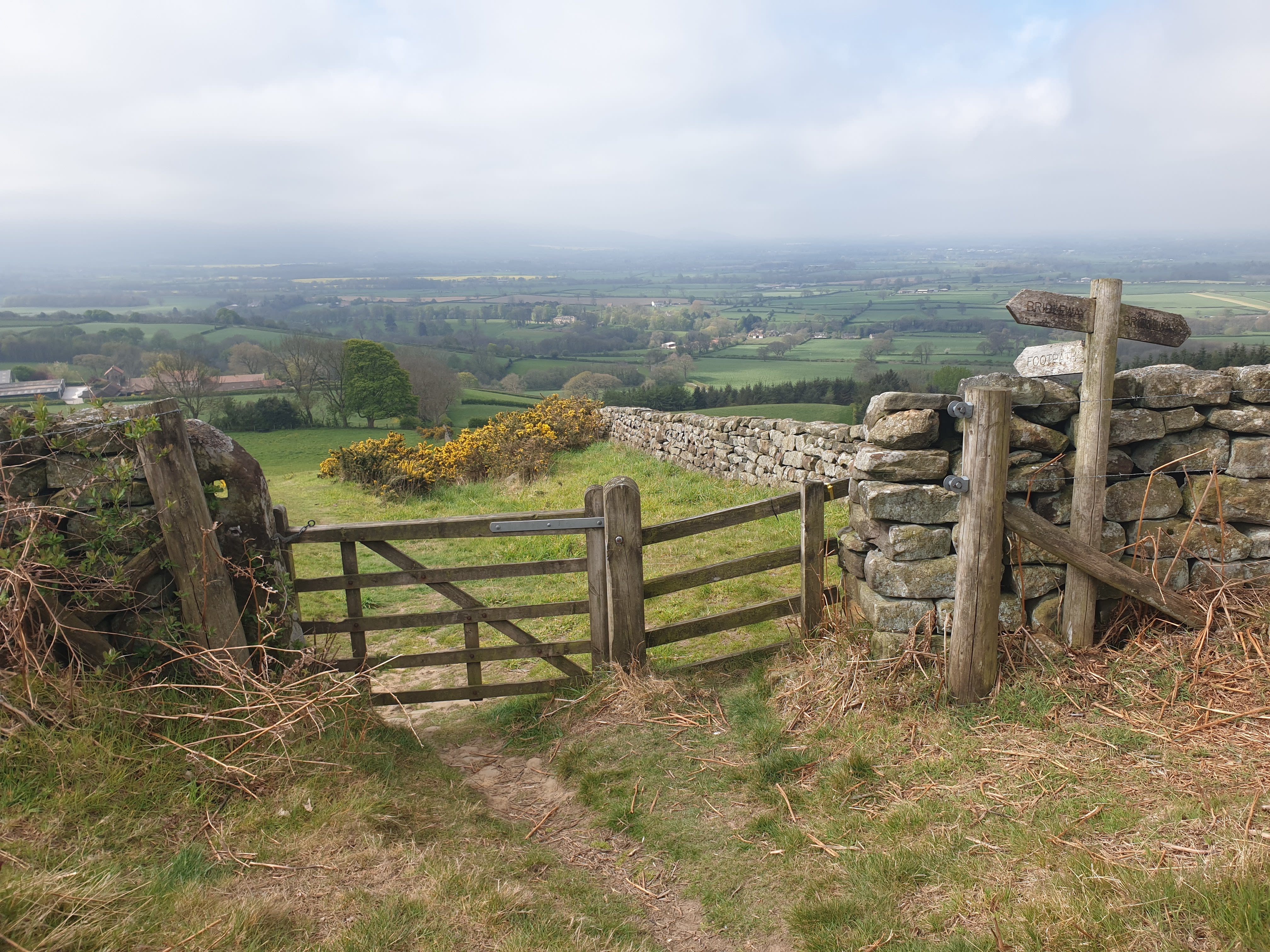
You also pass this gate and footpath off to the left which was part of the Captain Cook’s Monument and Kildale Woods tour.
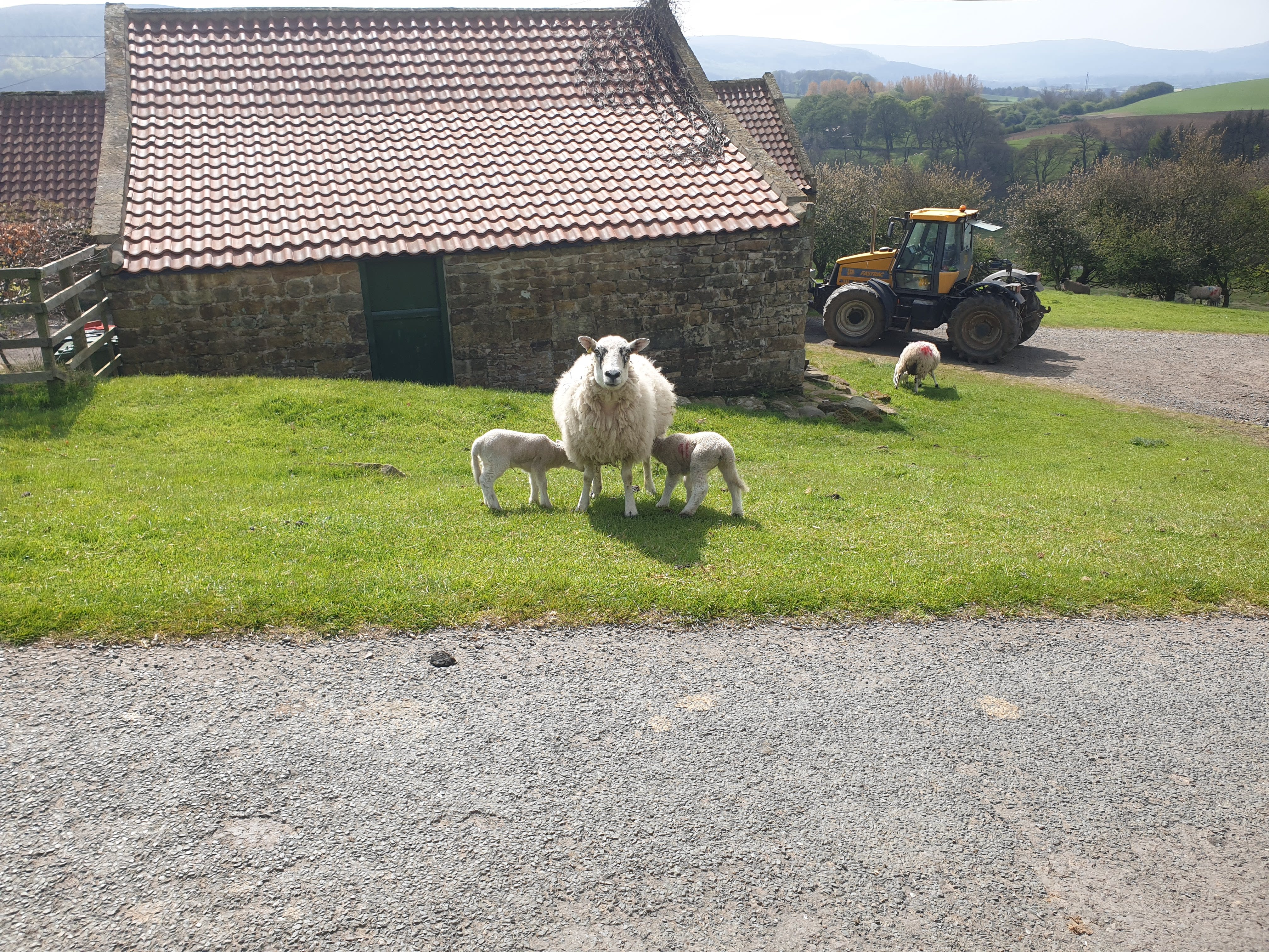
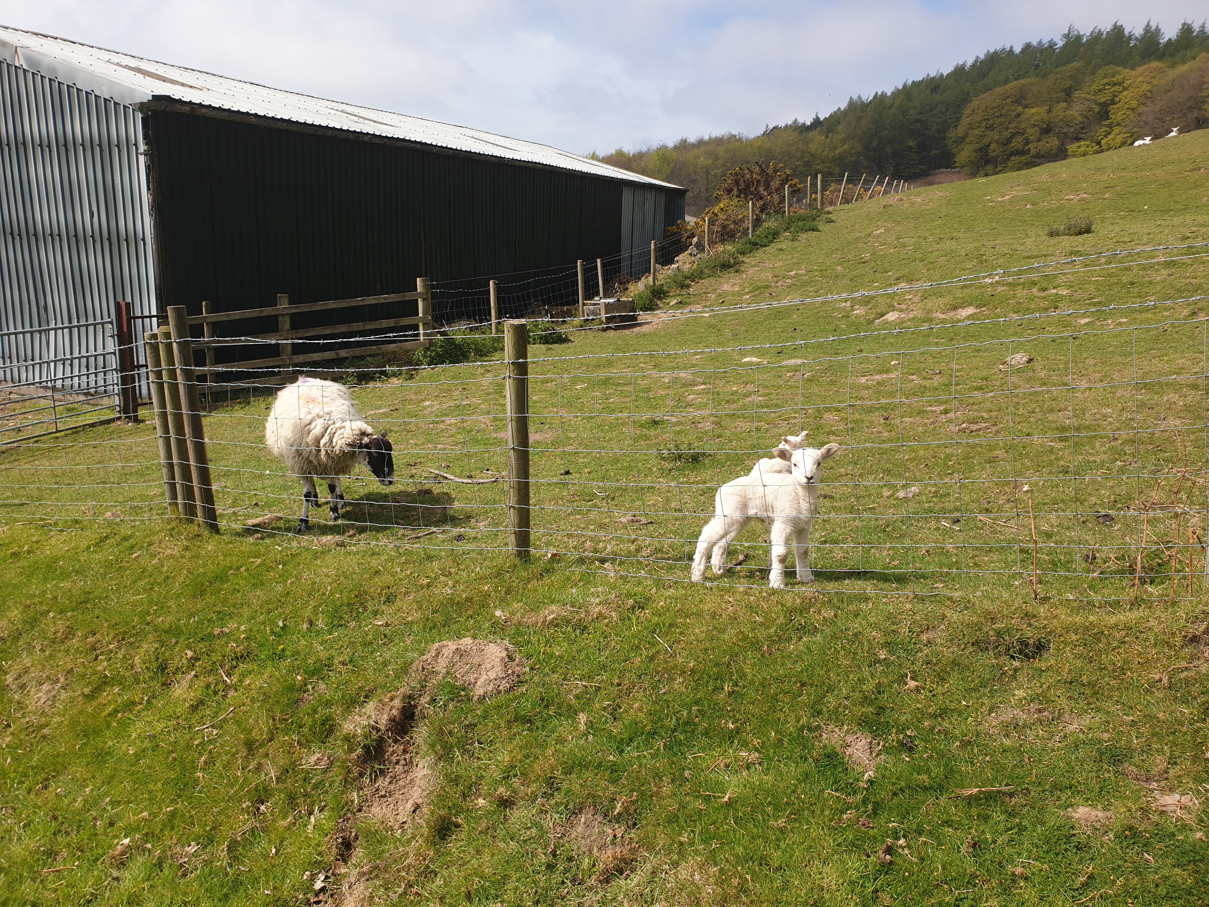
But we carry on along the road through Bankside Farm, making sure not to spook the lambs (cute little lambs not guaranteed if you do this tour after May).
Keep following the road north and uphill through Pale End Plantation. Continue to follow the Cleveland Way as, at the top of the hill, it turns off the road onto a gravel track on the lefthand side.
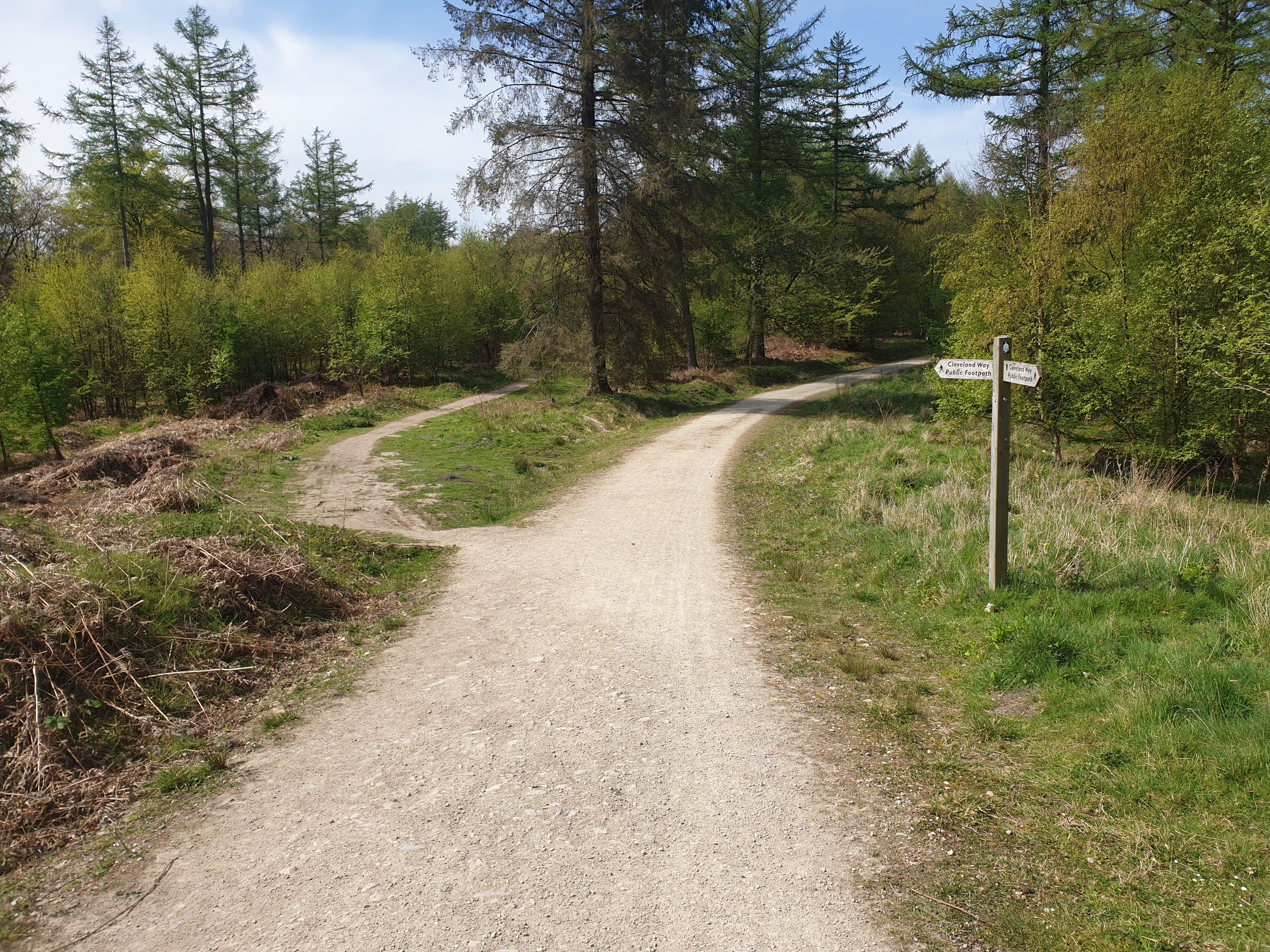
Keep on the main path heading west, here there is a fork in the path with the path to the left being the Cleveland Way (and part of the Captain Cook’s Monument and Kildale Woods tour). We’re not heading that way today so continue straight on the main gravel track.
Eventually the gravel track turns into a grassy dirt track, still heading west over Coate Moor.
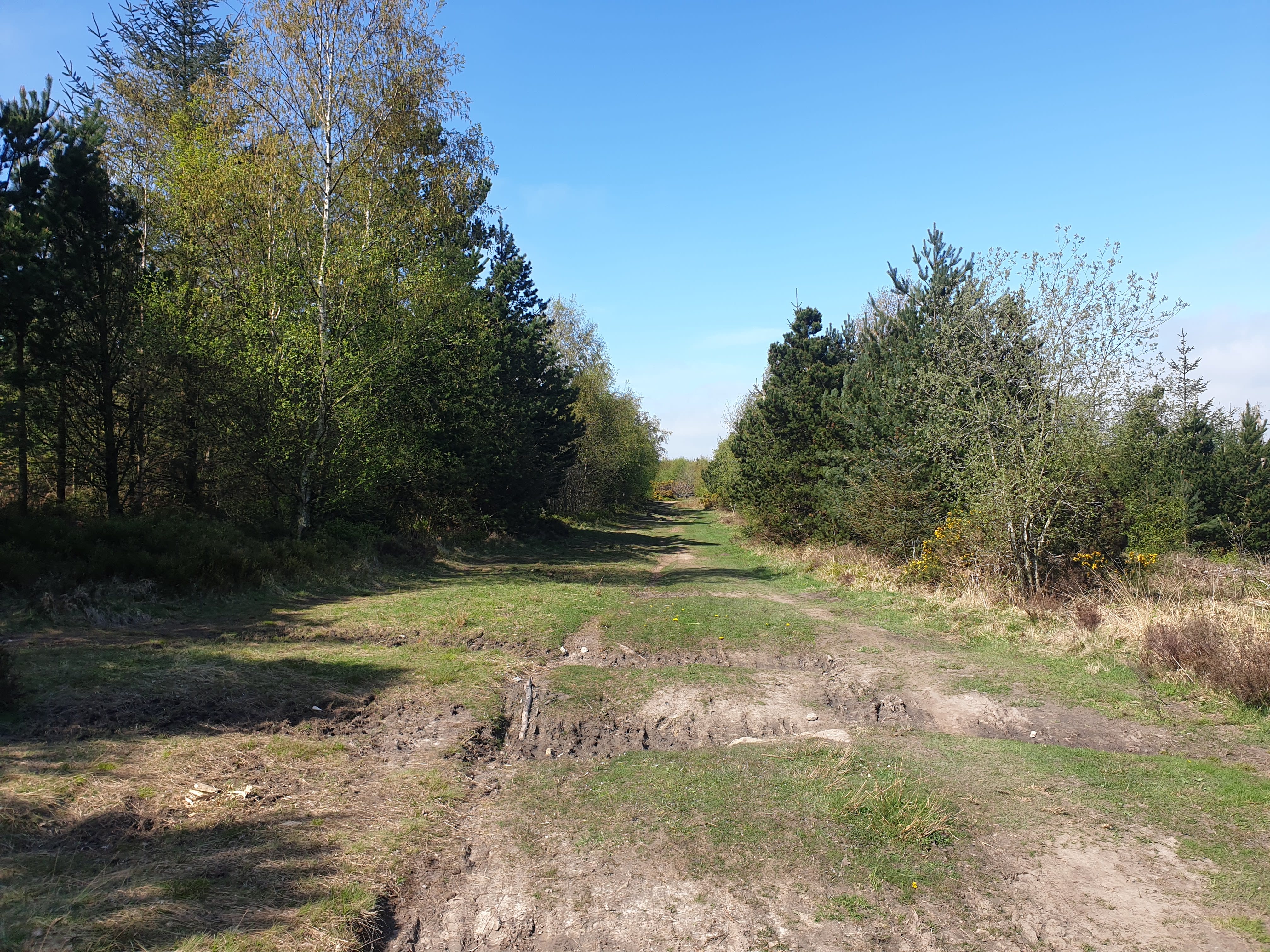
Here, the track crosses over the Cleveland Way (left to Captain Cook’s Monument and right to Gribdale Car Park), we’re heading straight over and continuing west onto Little Ayton Moor.
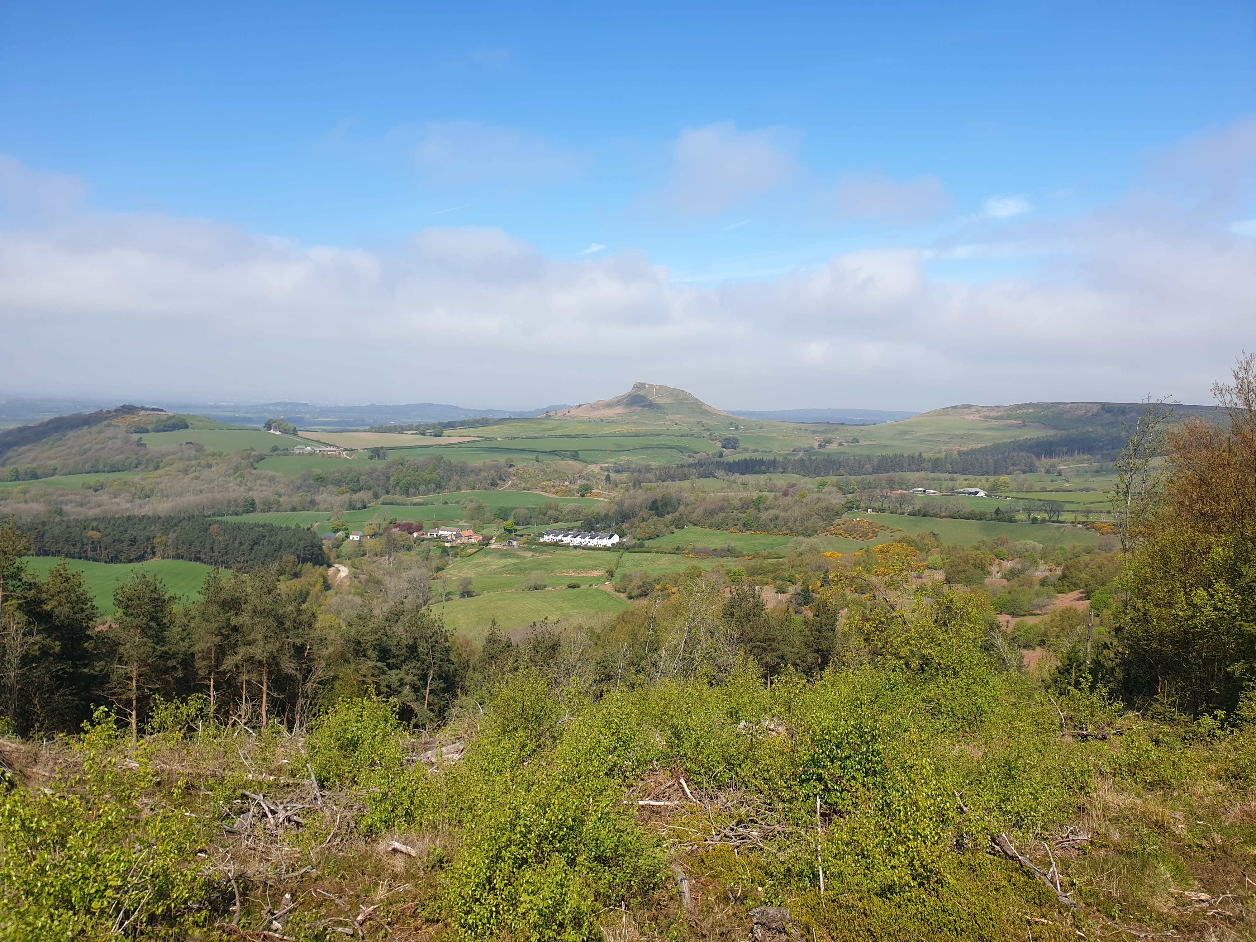
From Little Ayton Moor a lovely view north of Roseberry Topping. With Gribdale Terrace in the middle of the pic and and Aireyholme Farm to the right.
Continue along the path, leaving the Moor and approaching Ayton Banks Wood. Here the path splits into two, the left path heads around to Captain Cook’s Monument, we’ll be taking the other path to the right.
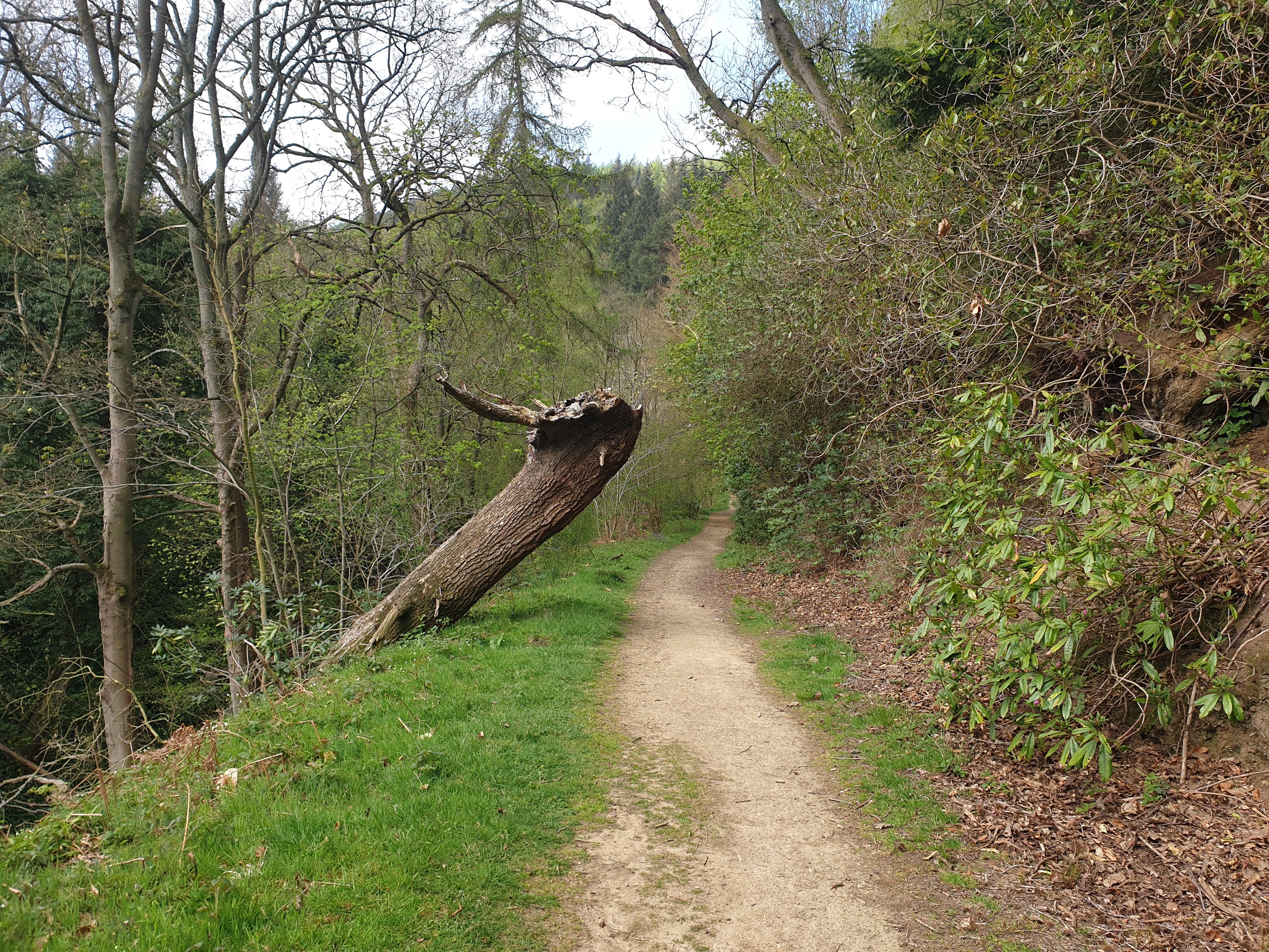
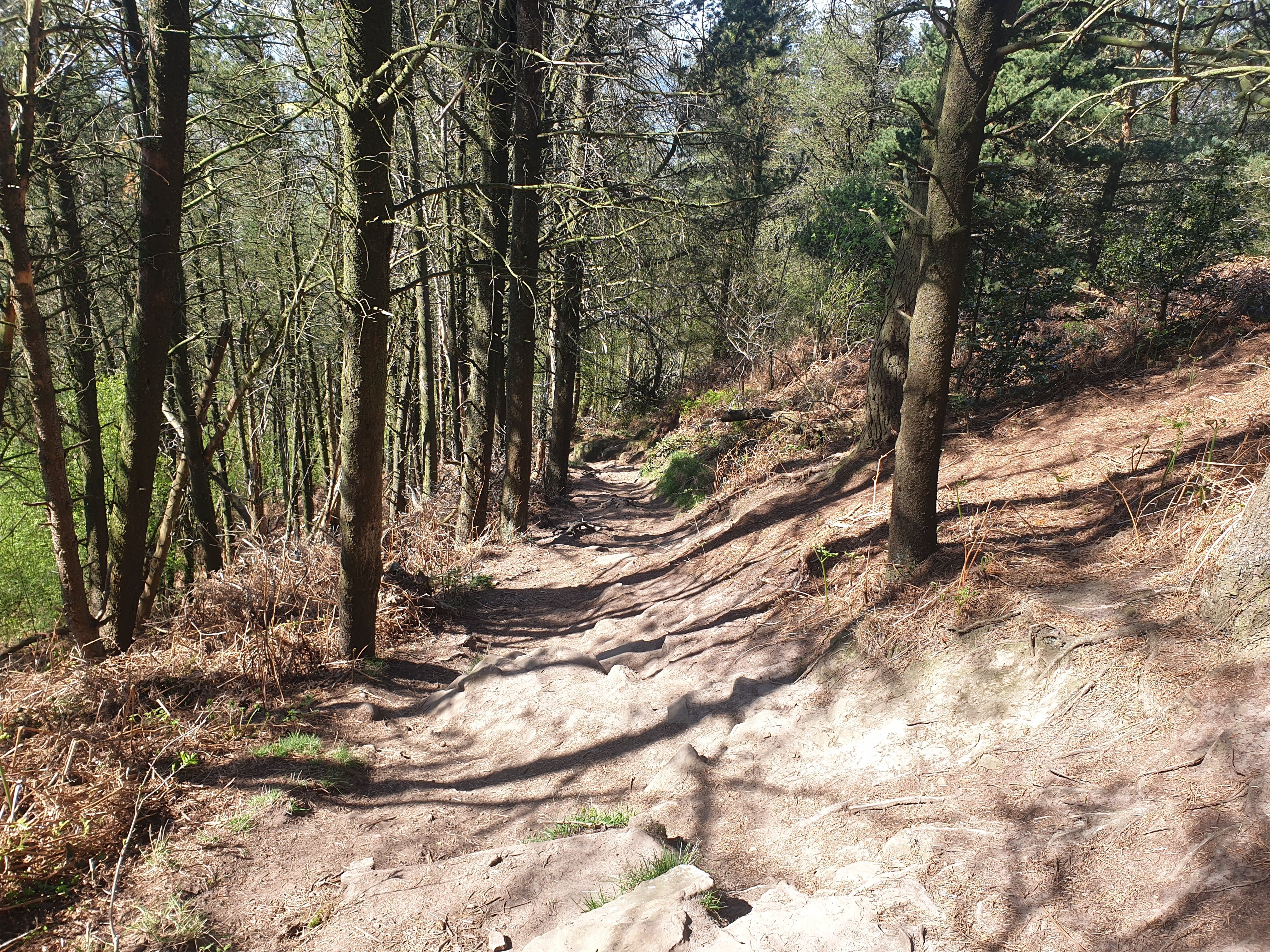
The path then heads into Ayton Banks Wood it turns into a dirt path and heads downhill. This path can be a little steep in places.
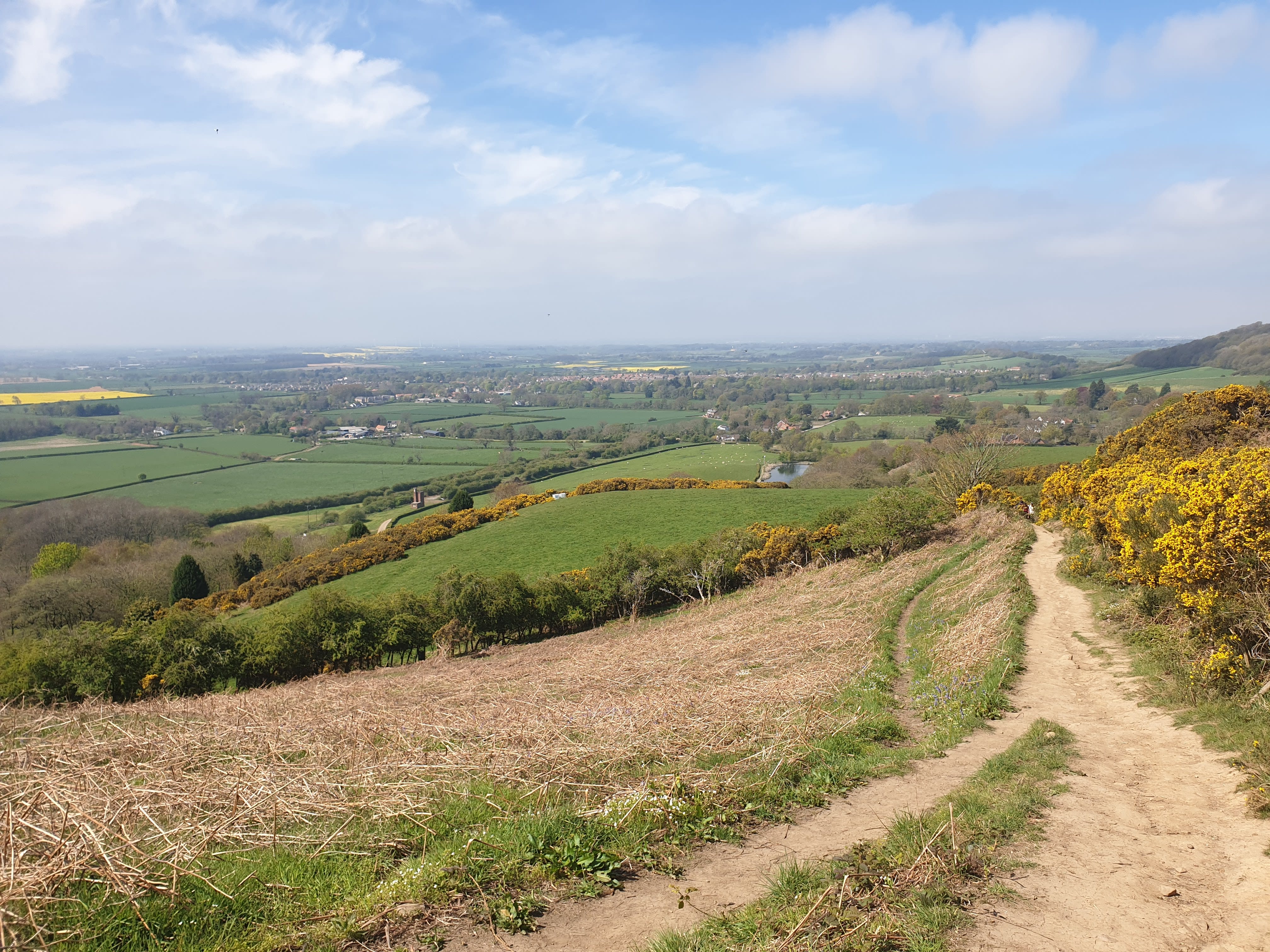
Leaving the woods, the path continues downhill towards some fields, but isn’t as steep as before. This pic below shows the path with the starting spot at Fletchers Farm visible on the left.
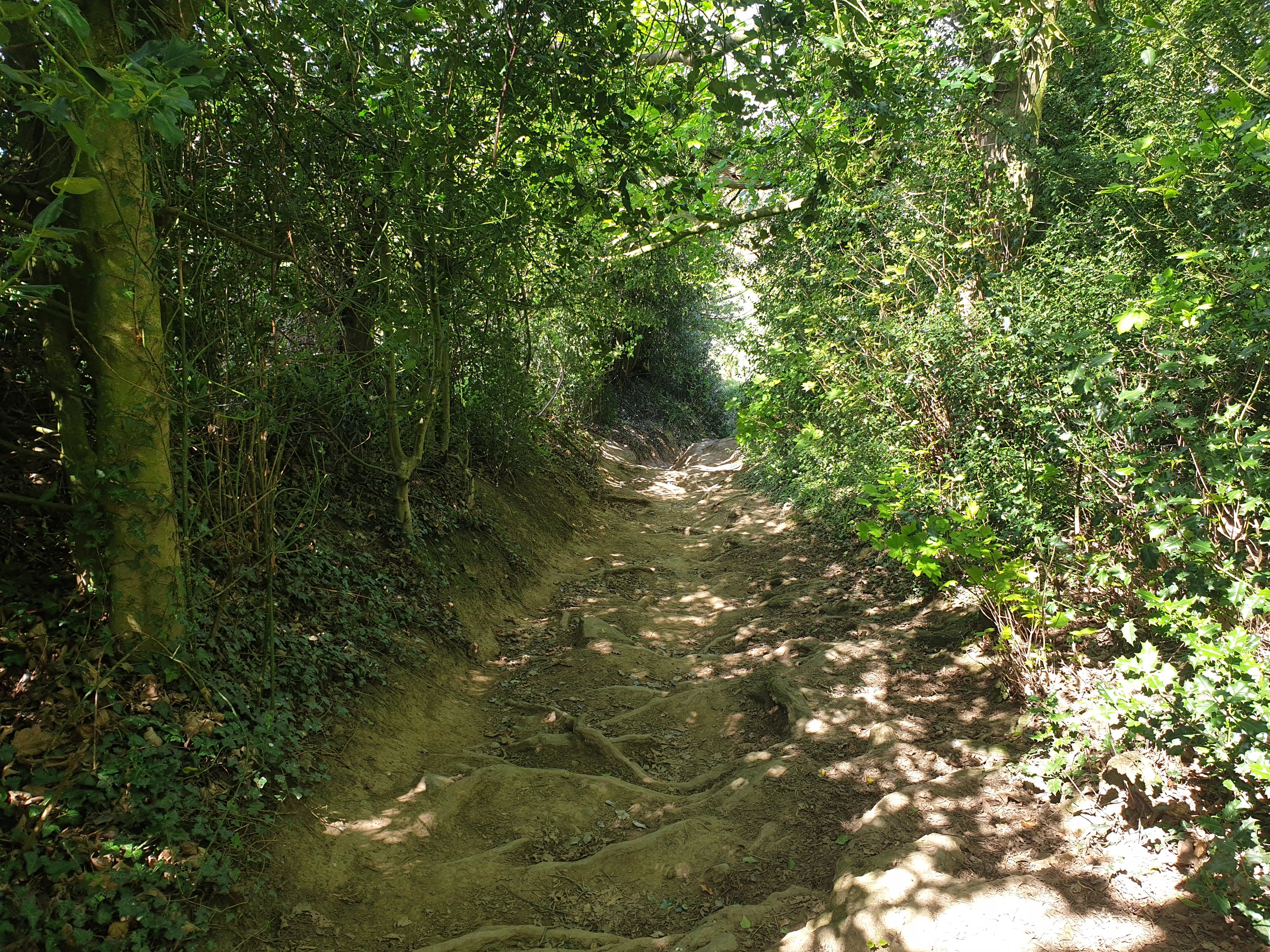
Nearly back to Tiggy, the path passes through a small wooded area where you head down steps created by the tree roots. This path is a little steep and can be quite treacherous with mud when it’s rained!
One final view of Rosey as you head down the hill.

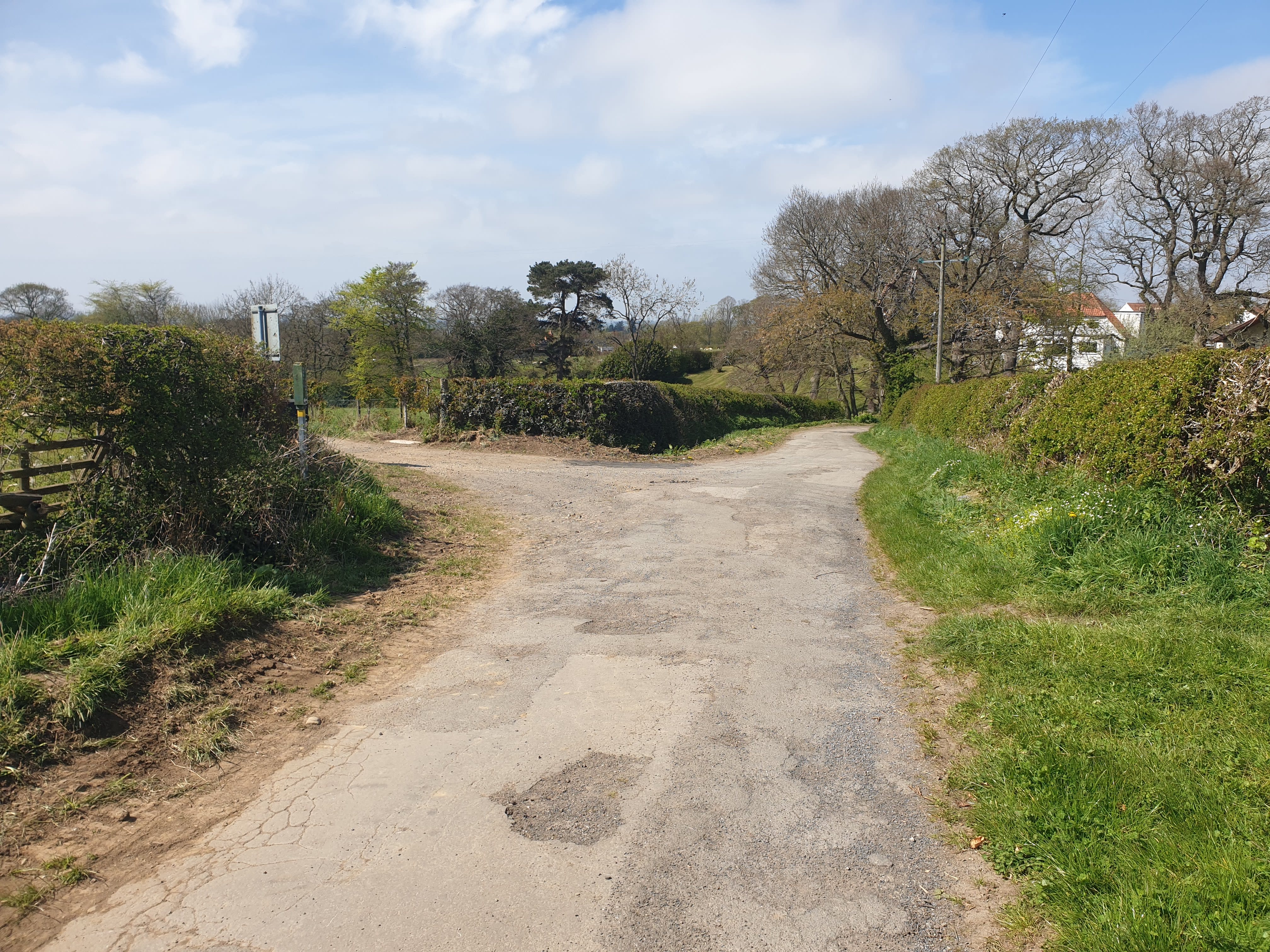
The path turns to a road and at this junction below take the left hand road back to Fletchers Farm. A short distance down the other road heading straight on is Dikes Lane where the Loop around Rosey tour passes by.
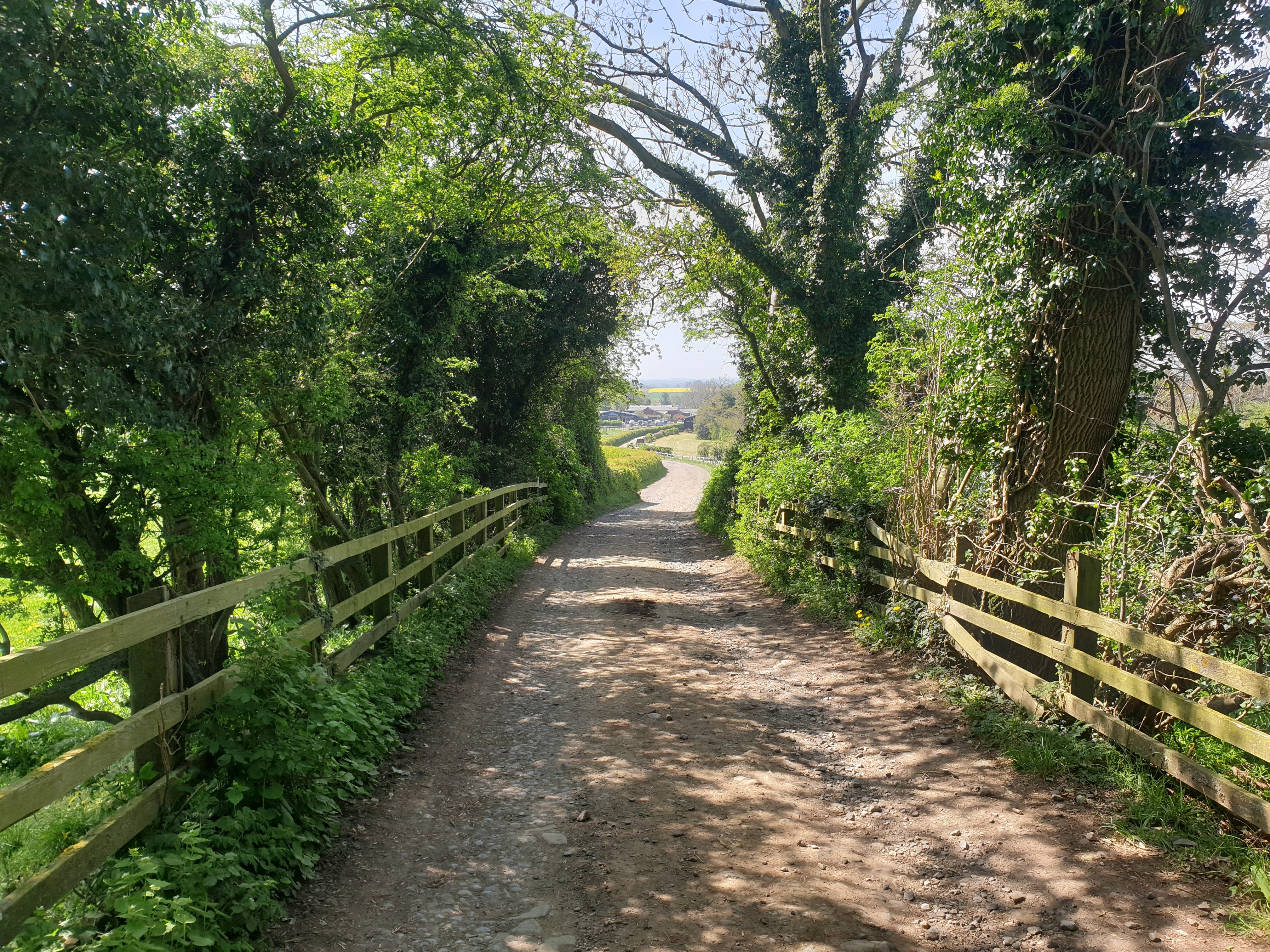
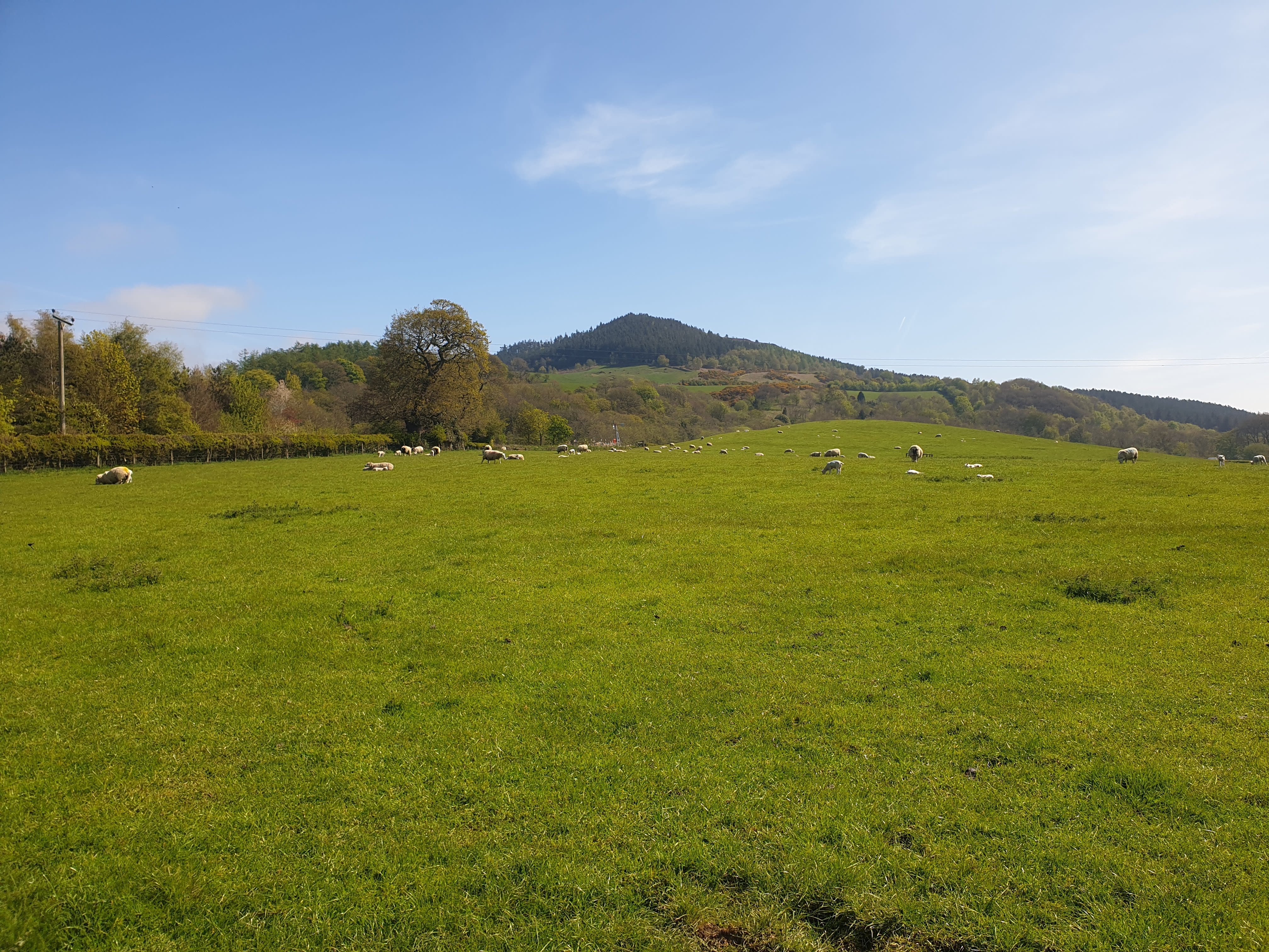
The same hilltop mentioned at the start of the trek, now with zero clouds blocking the view.
Continuing down the track it crosses the railway and as you cross the bridge Fletchers Farm appears in the distance through the tree tunnel.