This path I found pretty much by accident after having a couple of hours to kill whilst I was in Skinningrove.
The route follows the Cleveland Way mostly, with a slight diversion towards the cliffedge and through old mine workings with red iron ore remnants making the place look like another world (hence the Mars reference). This route does involve a rather steep scramble up a grassy hill to get back onto the Cleveland Way to the cliff above.


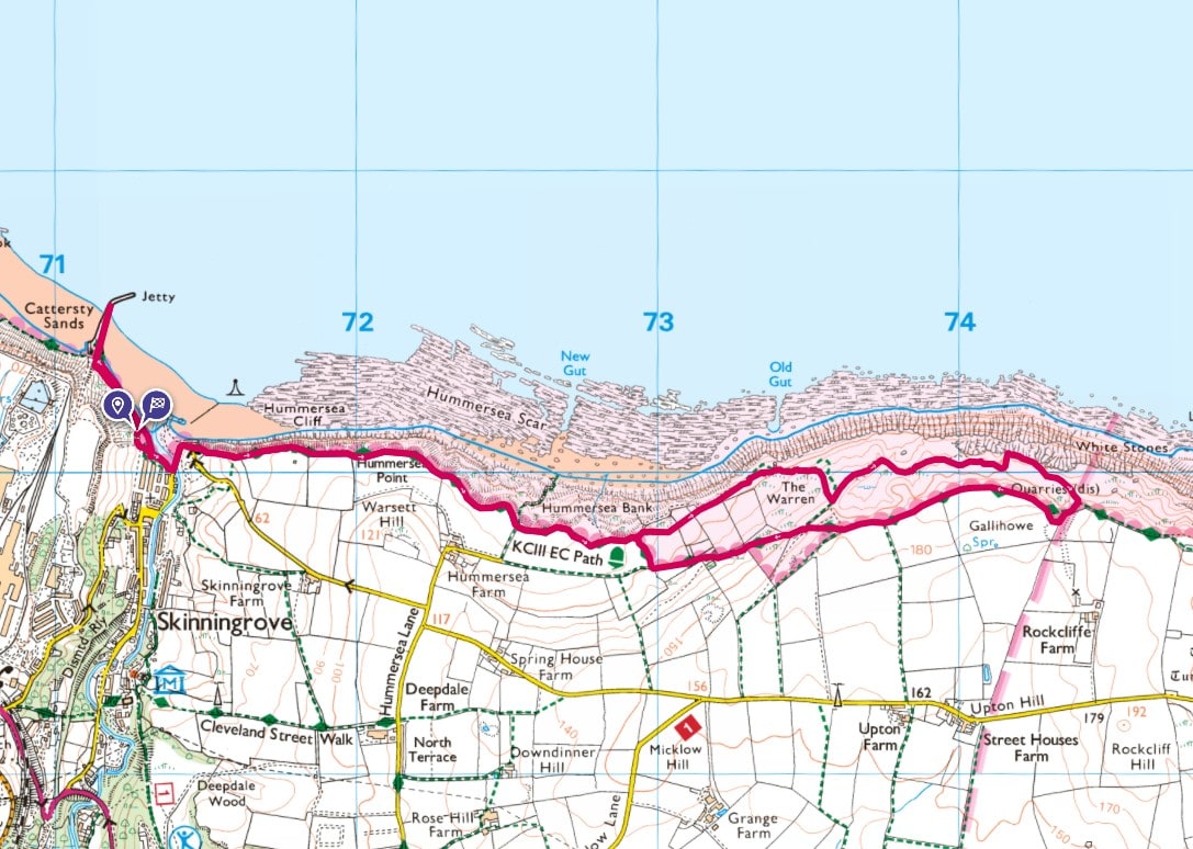
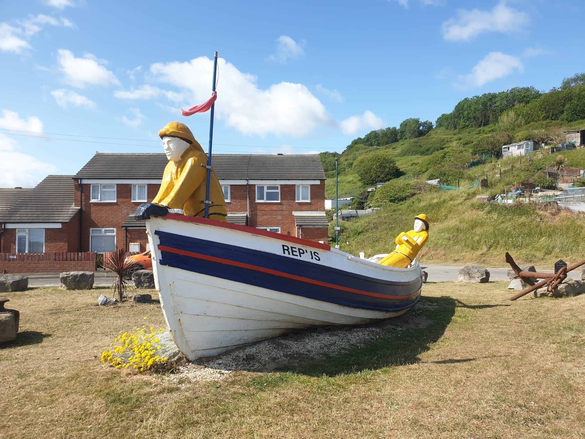
Park for free by the seaside at Skinningrove at The Way Of St Hild Car Park, right by the Repus Boat Sculpture.
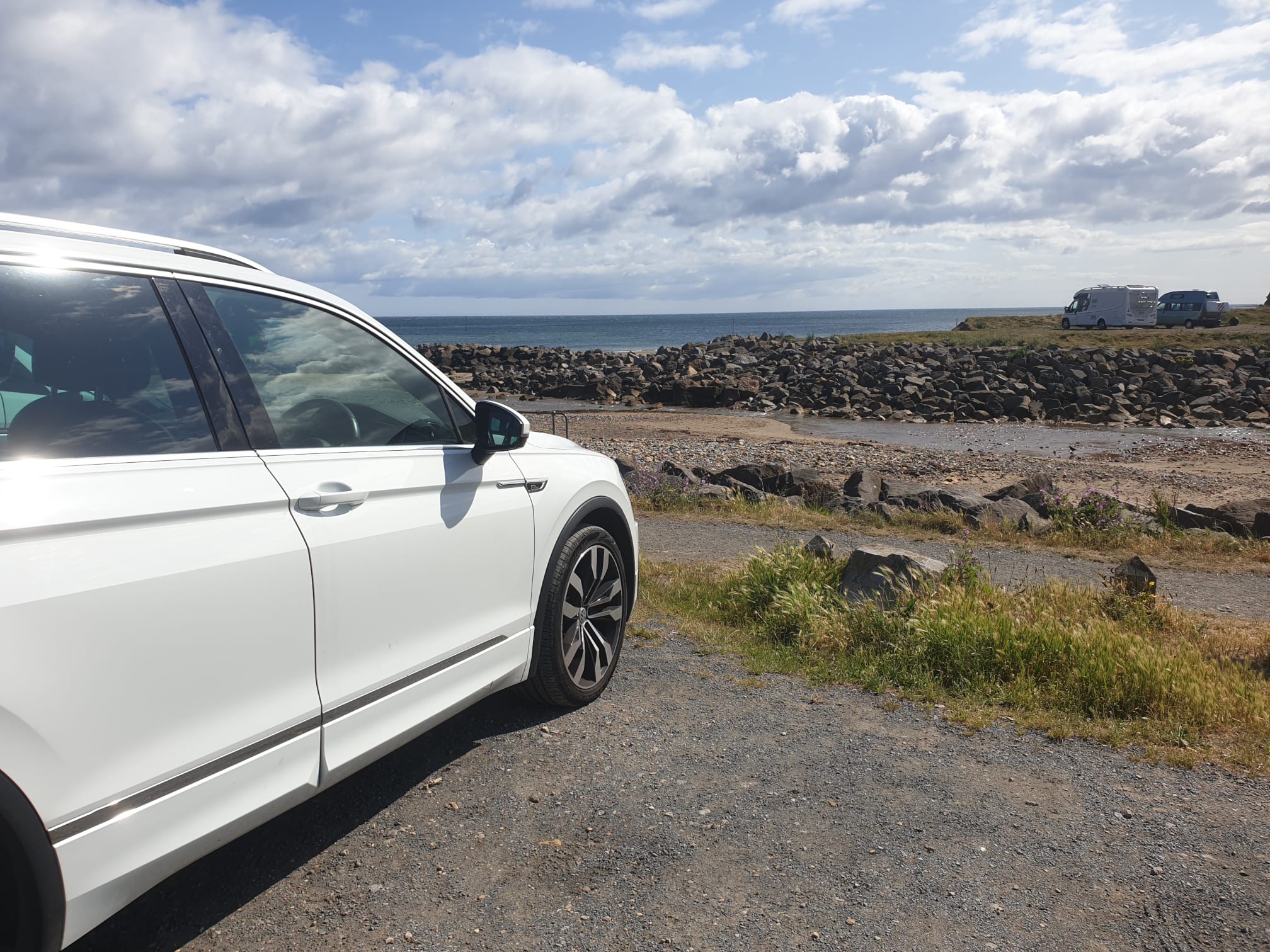
Looking east, across the beck, is our route for today, right up that hill onto the clifftops.
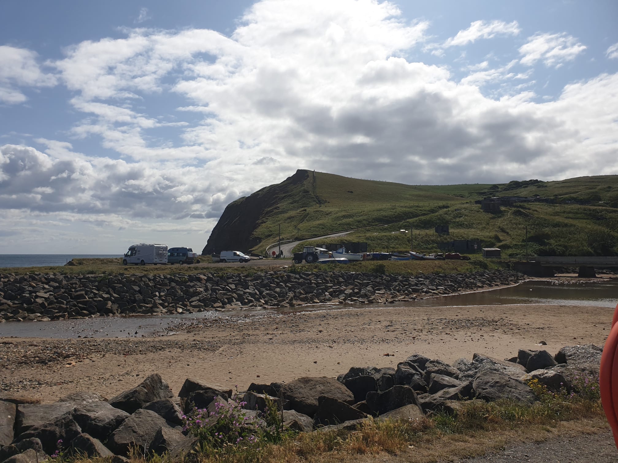
The Repus Boat Sculpture by the carpark.
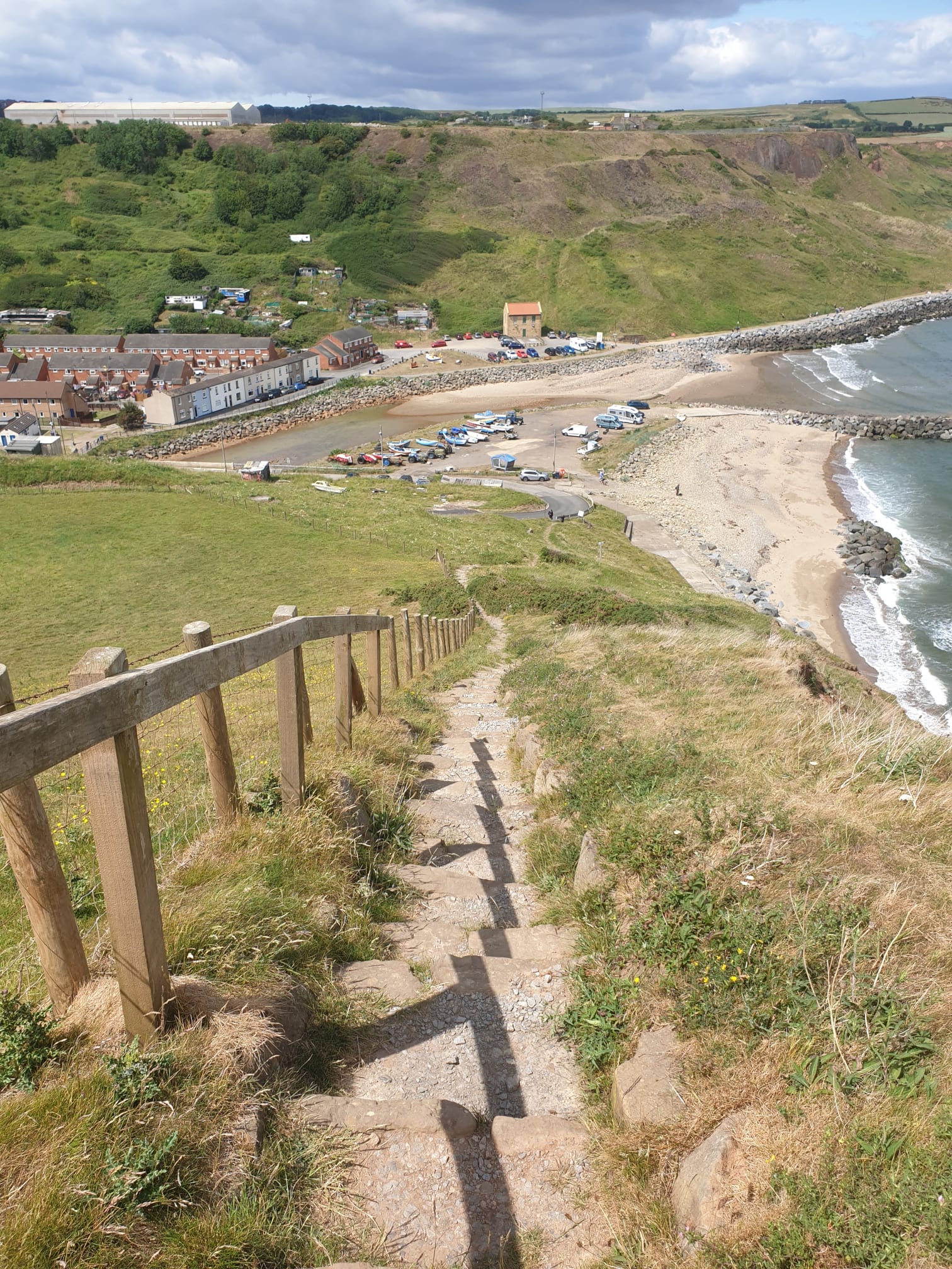
It begins by heading east towards those steps, crossing the beck and walking on the road for a short distance. Then a steep climb up a lot of steps to the top of the cliffs.
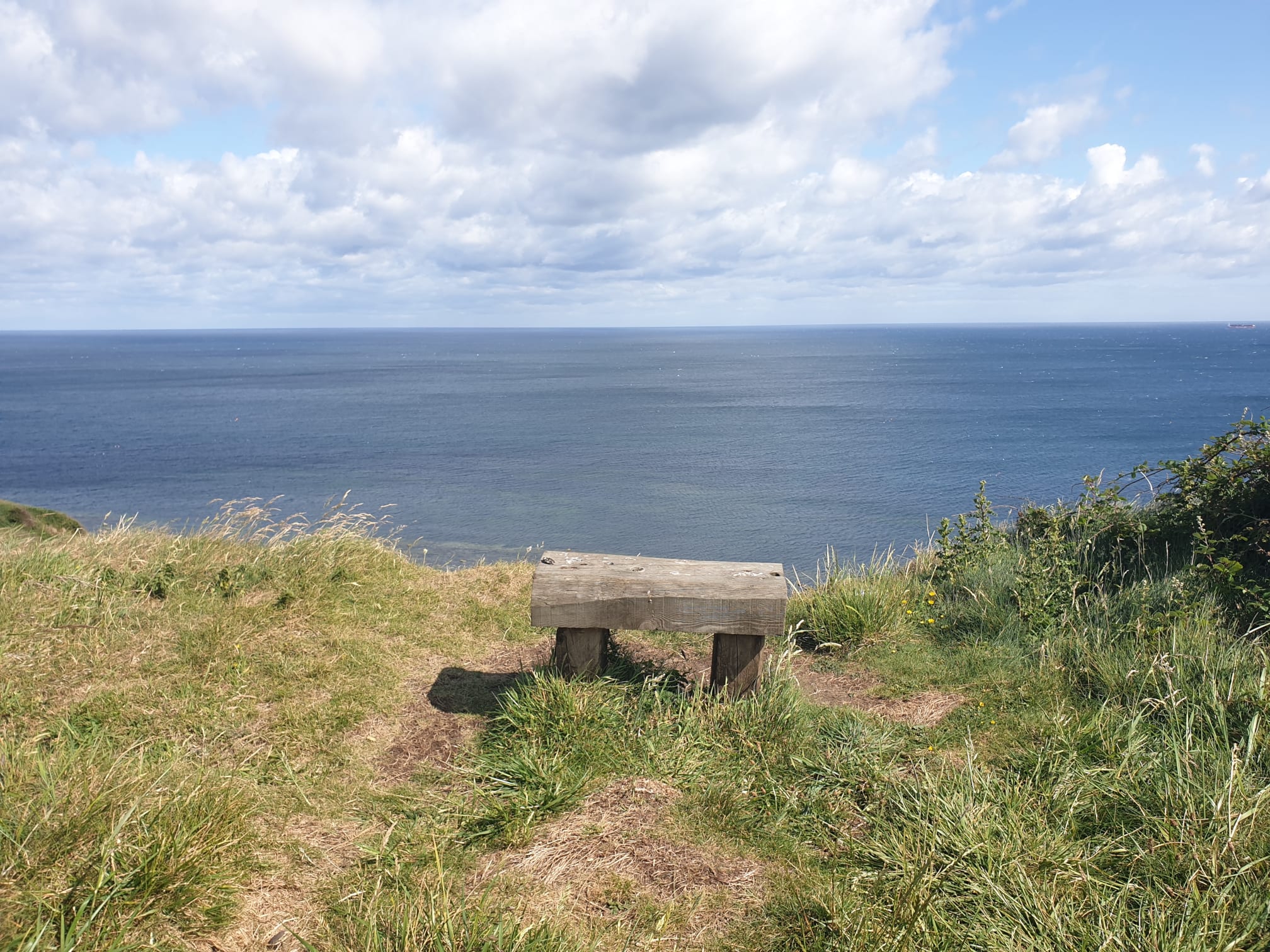
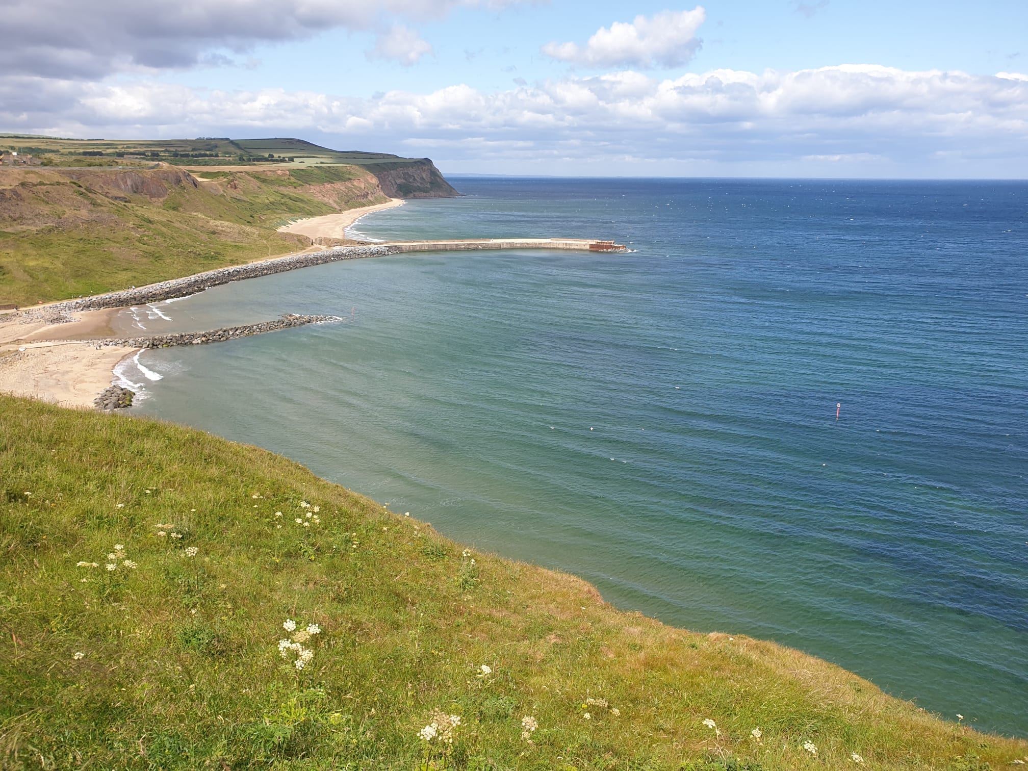
As always, worth it for the view.
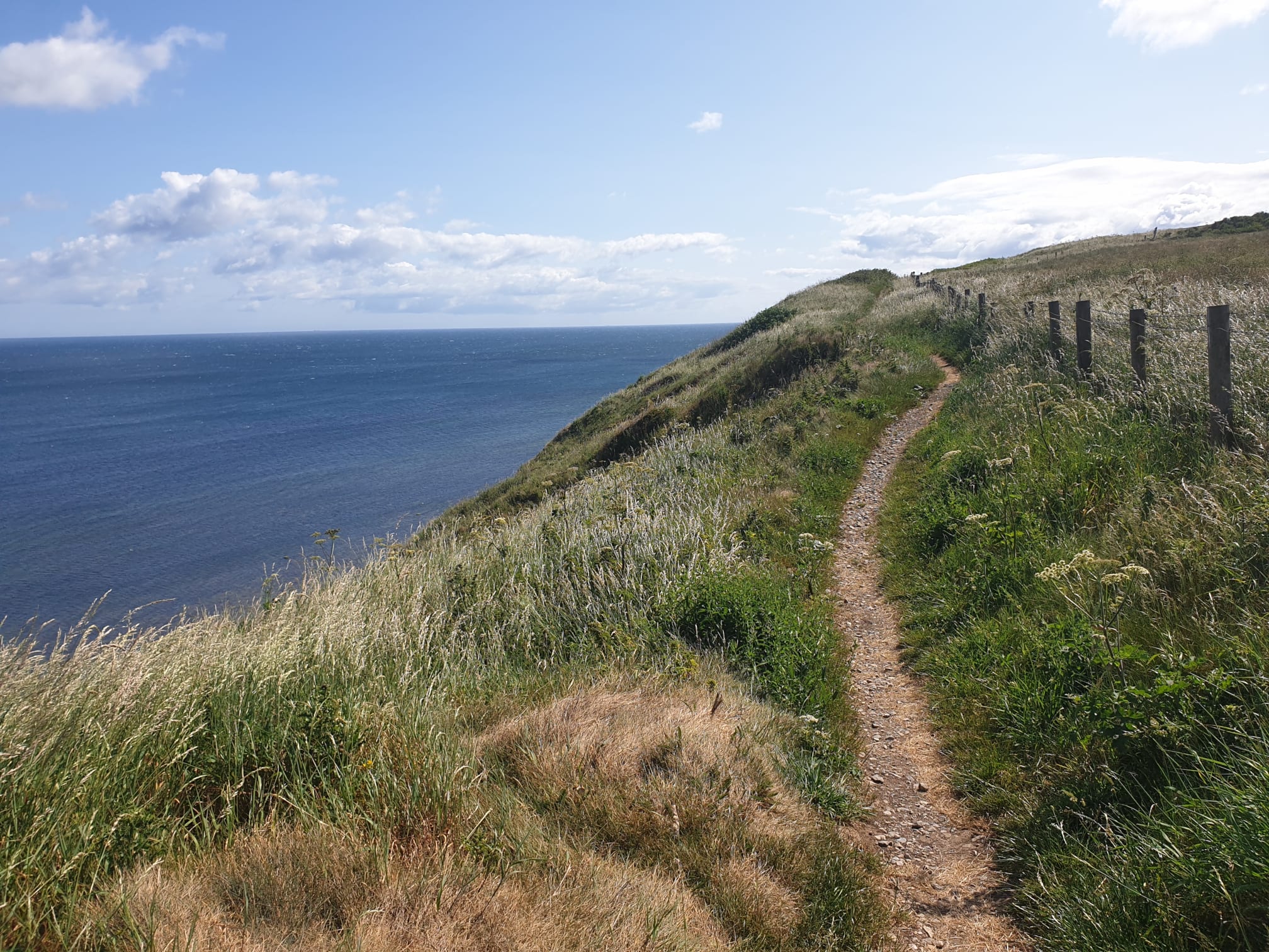
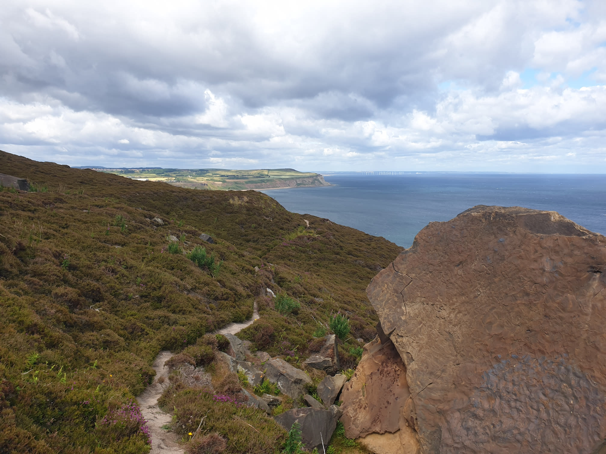
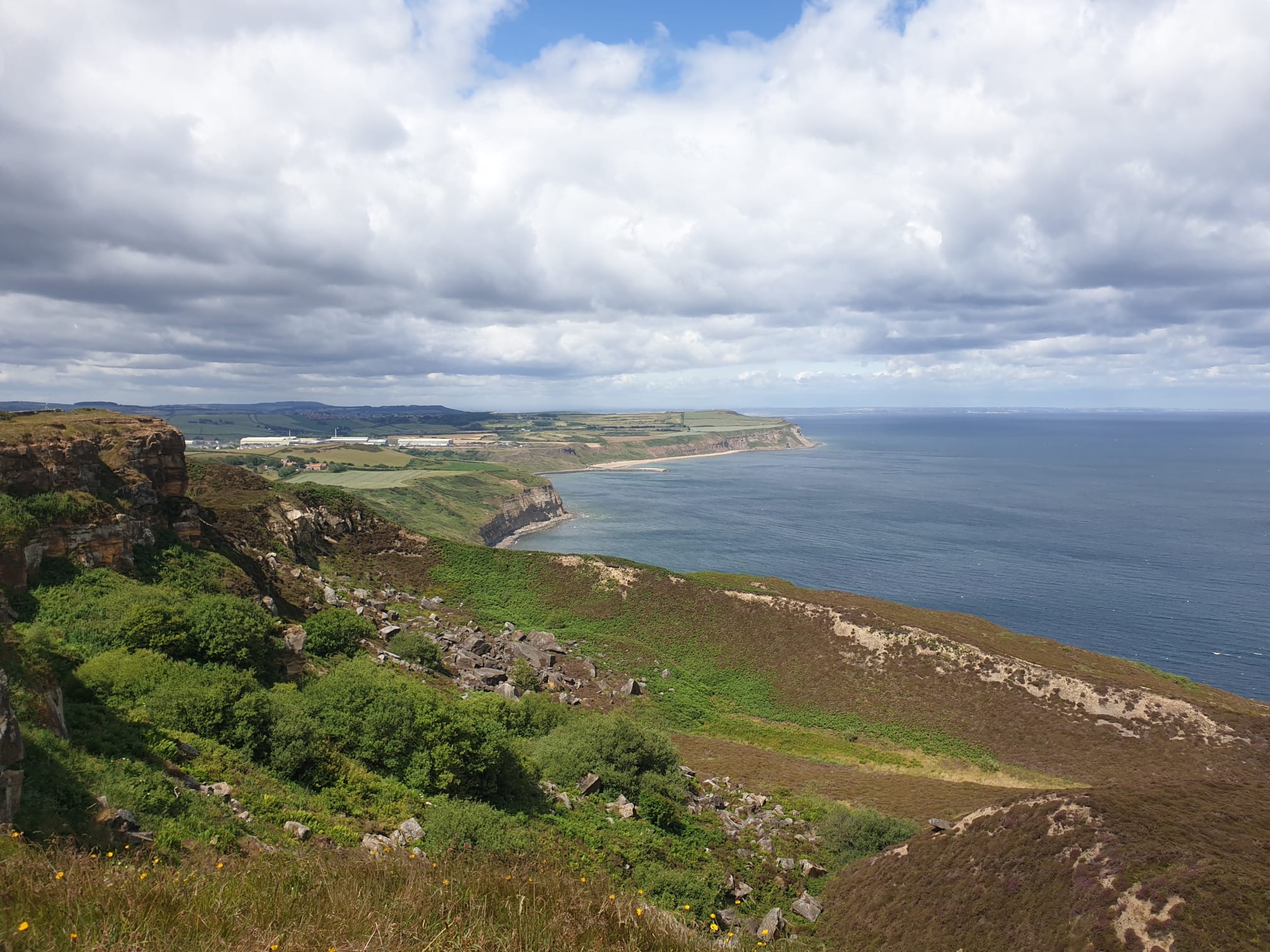
For the next couple of miles it’s a fairly level path along the Cleveland Way.
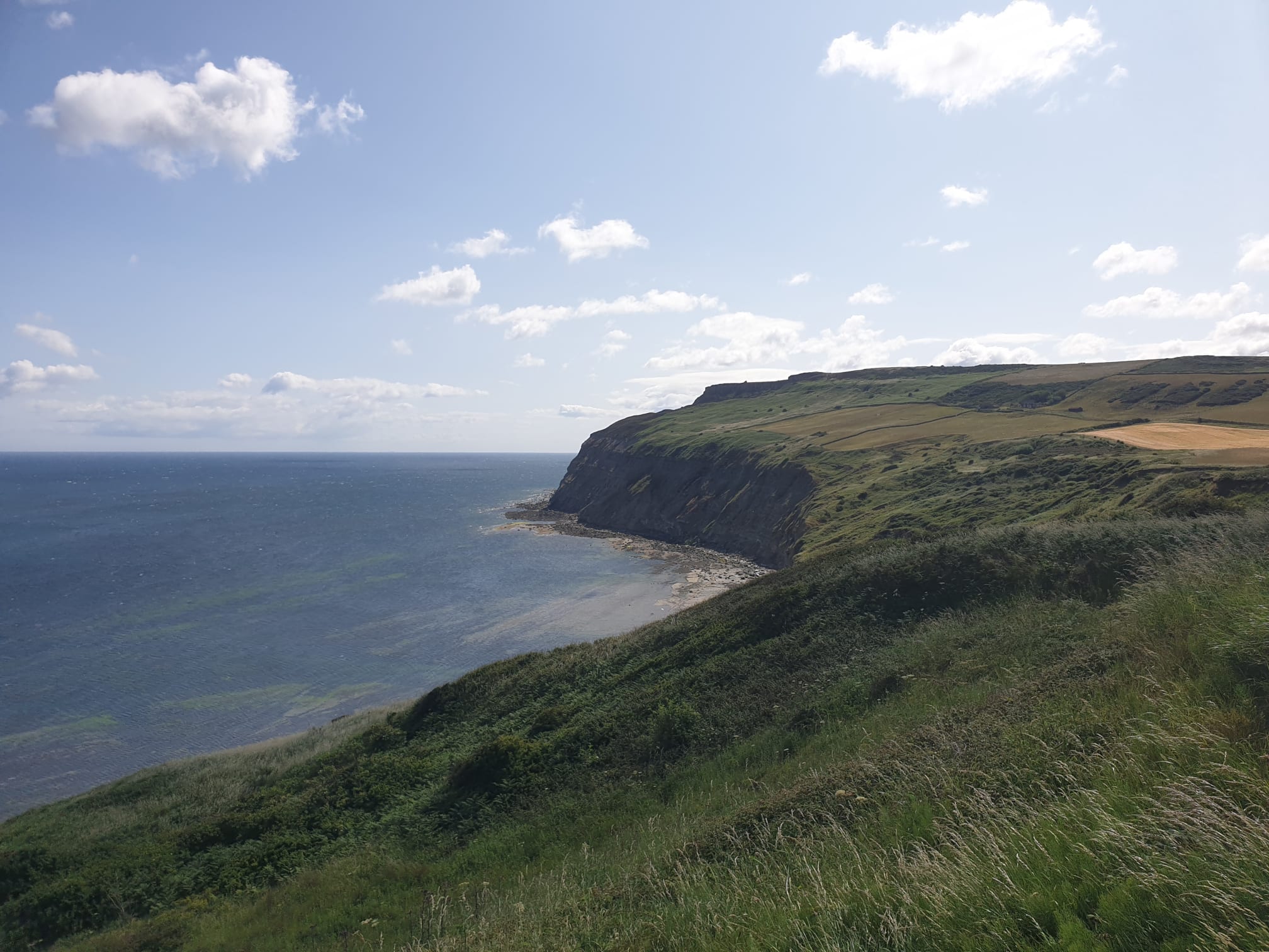
This pic below gives a good example of the upcoming part of the hike. Travelling below the yellow field on the right and heading below the other two green fields and along to the bottom step of the silhouette ahead. Later we’ll be climbing up to the top step which is the Cleveland Way and travelling back along the top, back to the yellow field.
What a view.
An important signpost, it is here where we turn left, leaving the Cleveland Way and heading down to Mars, via a lot of bracken. The path you see to the right will be where we head back down to this very spot.
This shows the condition of the path, very overgrown with bracken and brambles. Ideally not to be done in shorts, or in Summer!
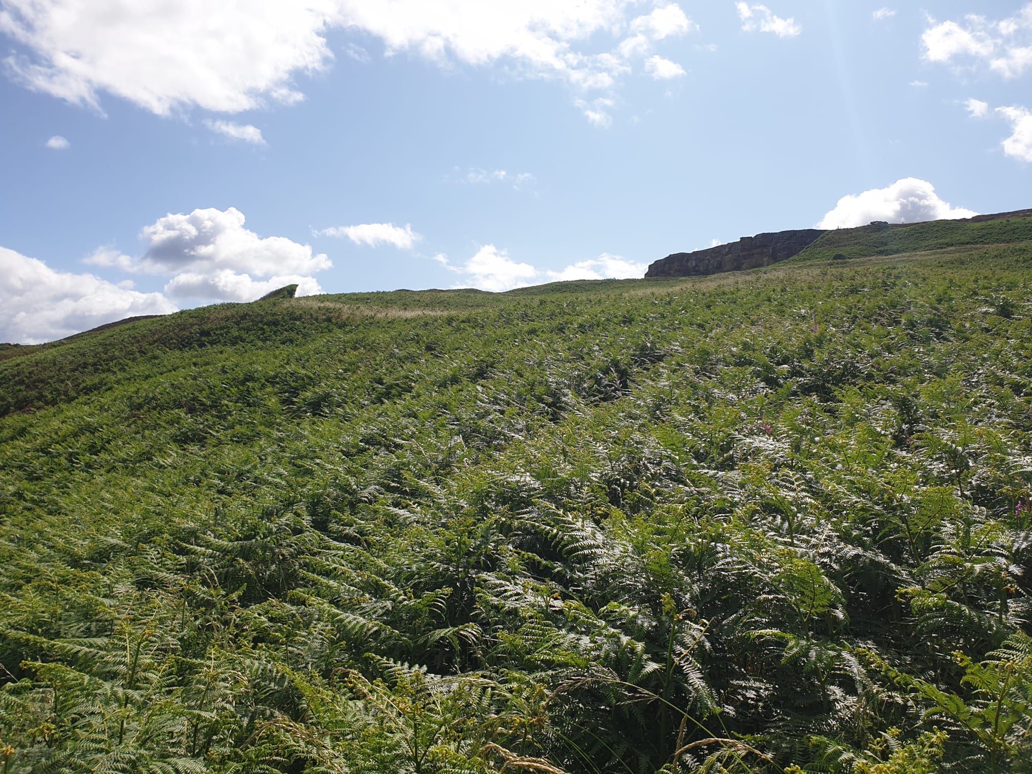
Following the path, if you can find the path, you finally get to this wall. The bracken part is over!
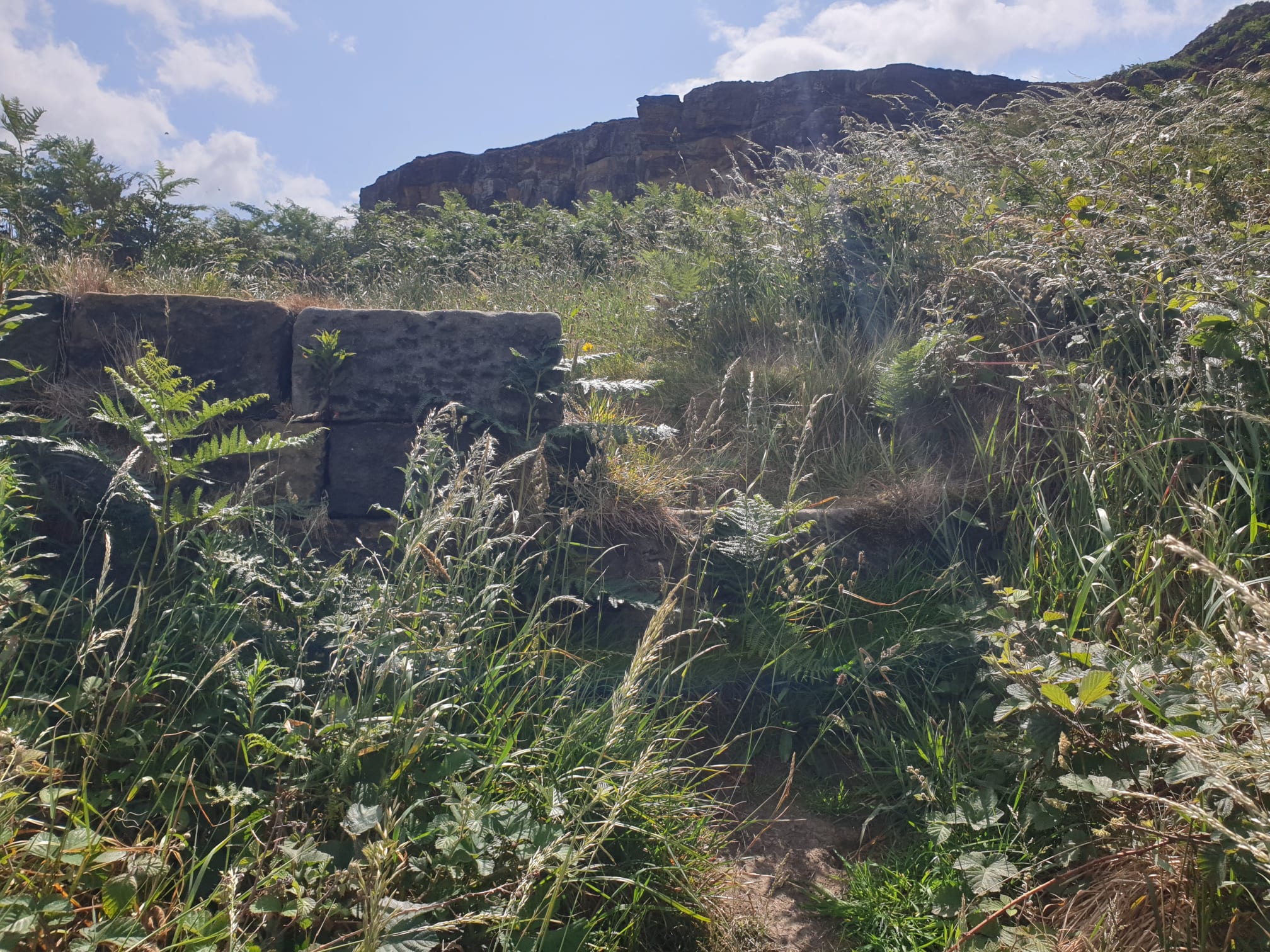
Standing on the wall we’re now in the crater of a former quarry. This area is marked on the OS Map as The Warren.
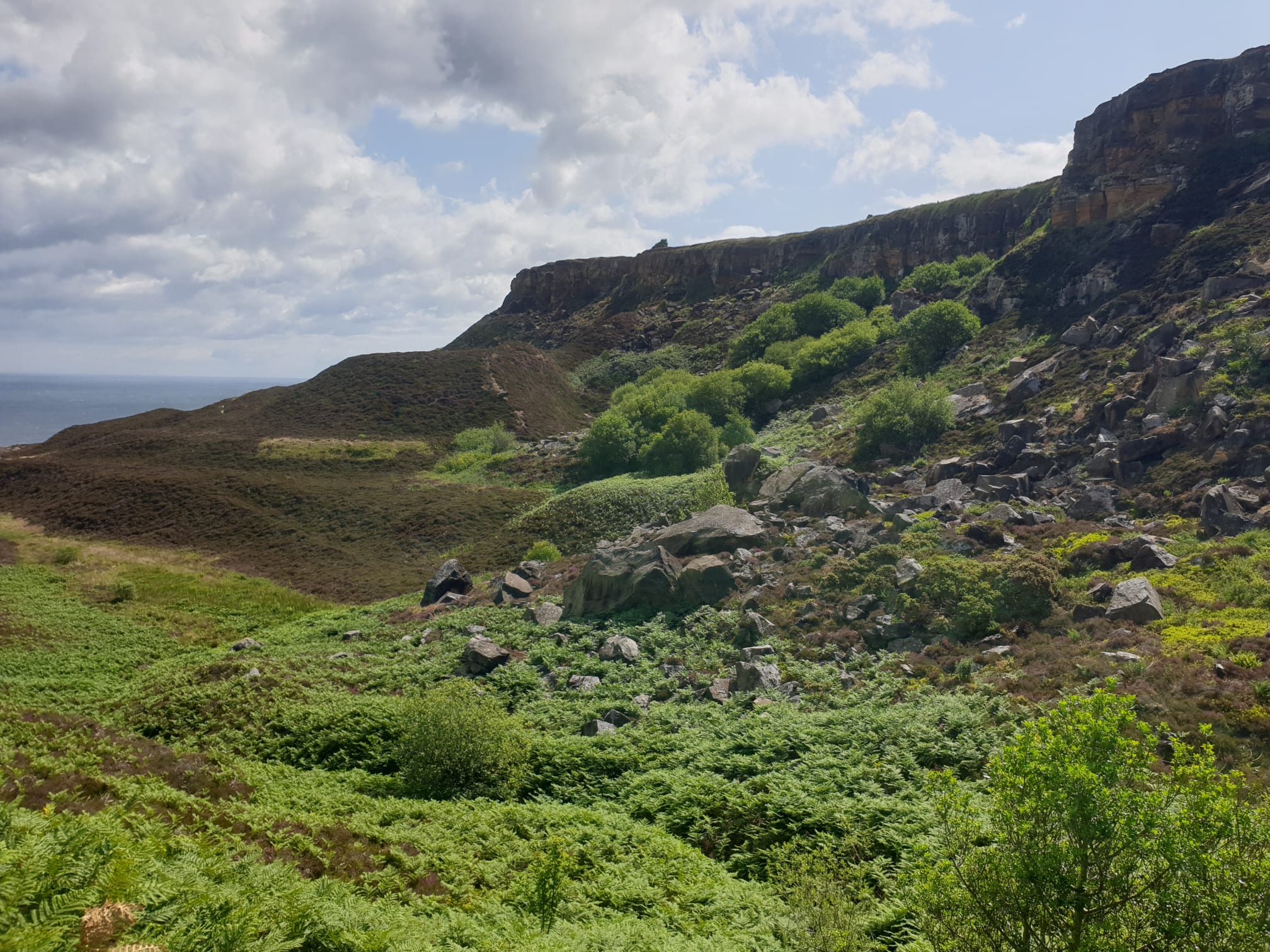
Turning left and following a much easier path along the top of this ridge and towards the heather.

A quick look back at where we’d come from and all the bracken we’d walked through.
The path is now a lot easier.

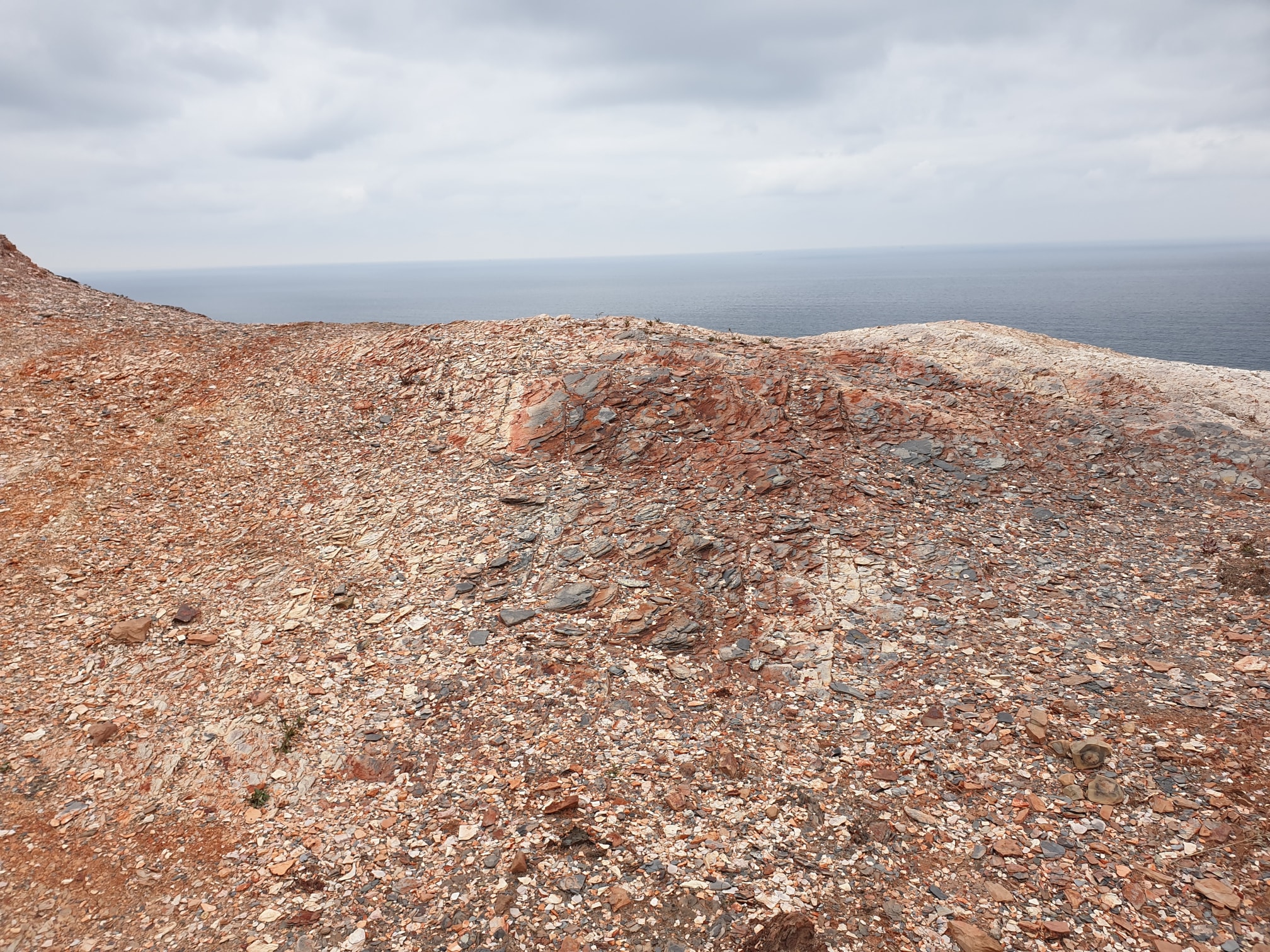
Our first view of “Mars”.
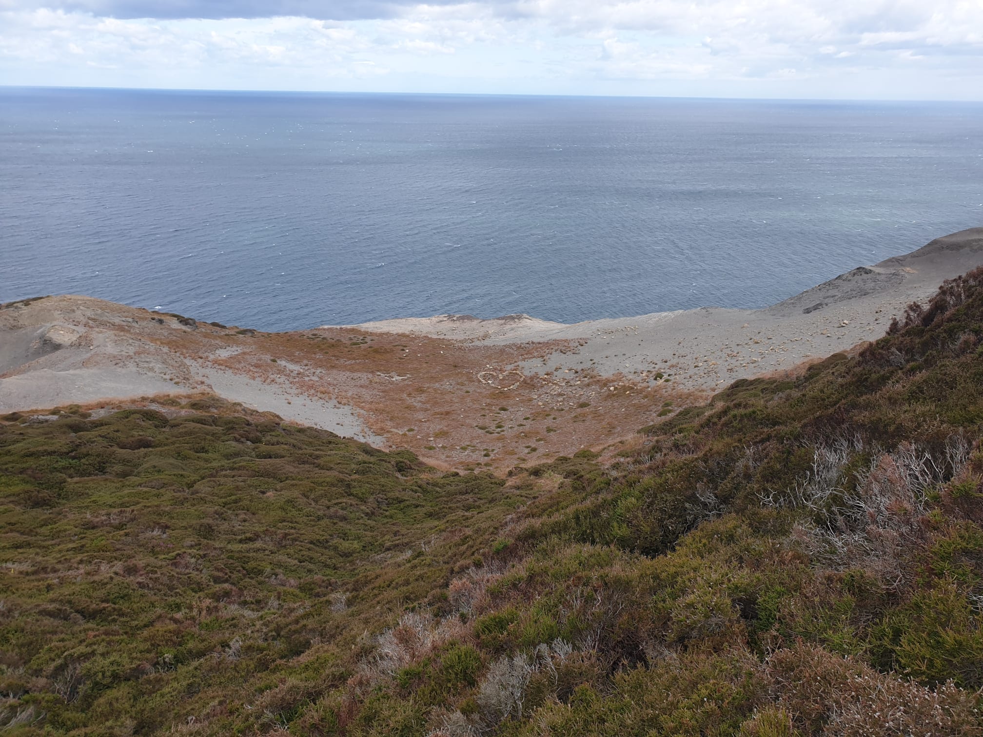
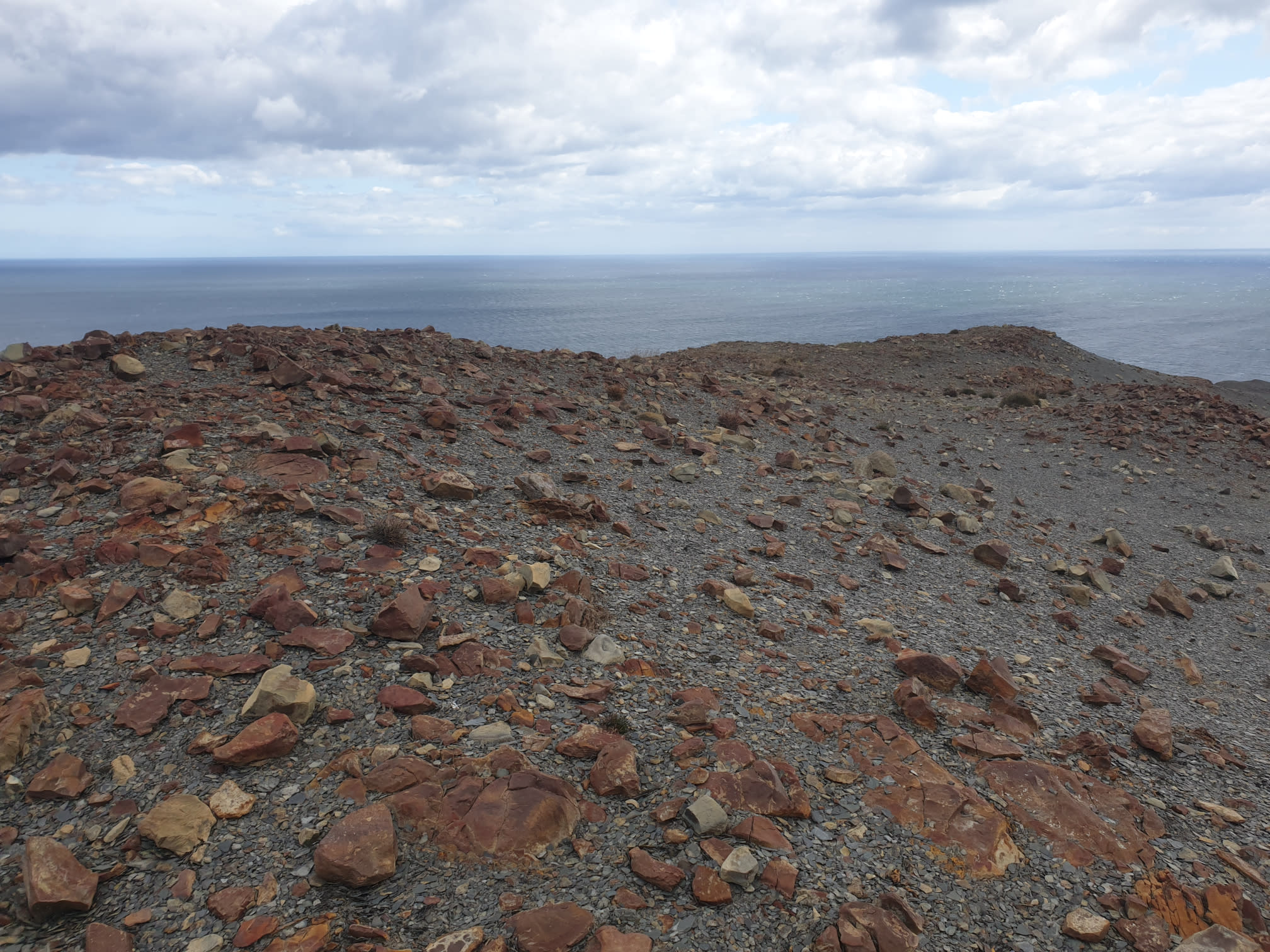
The red rocks are remnants of the area’s ironstone mining history.
With a couple of reminders that there were buildings in this location but time and erosion have taken their toll.
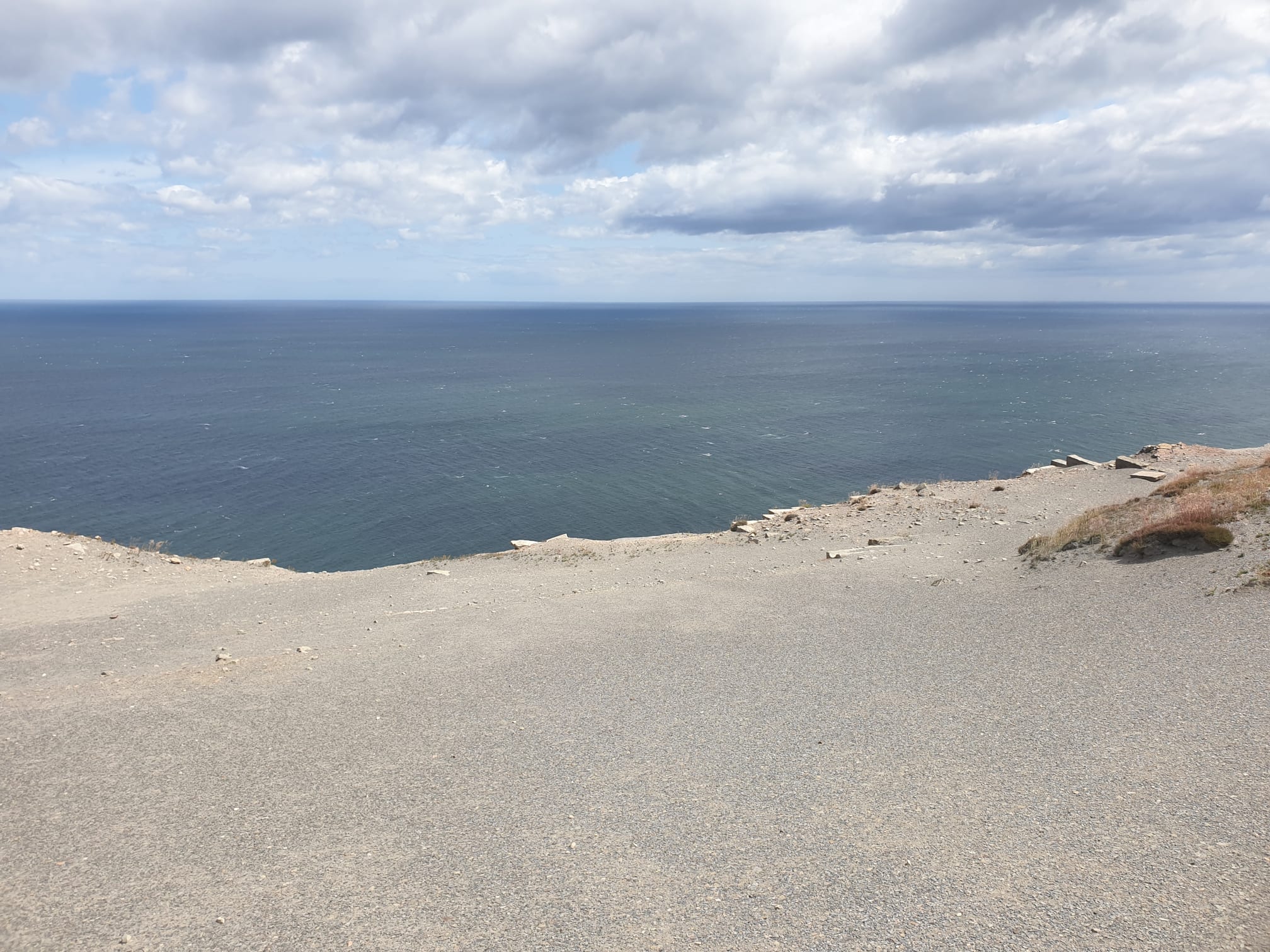
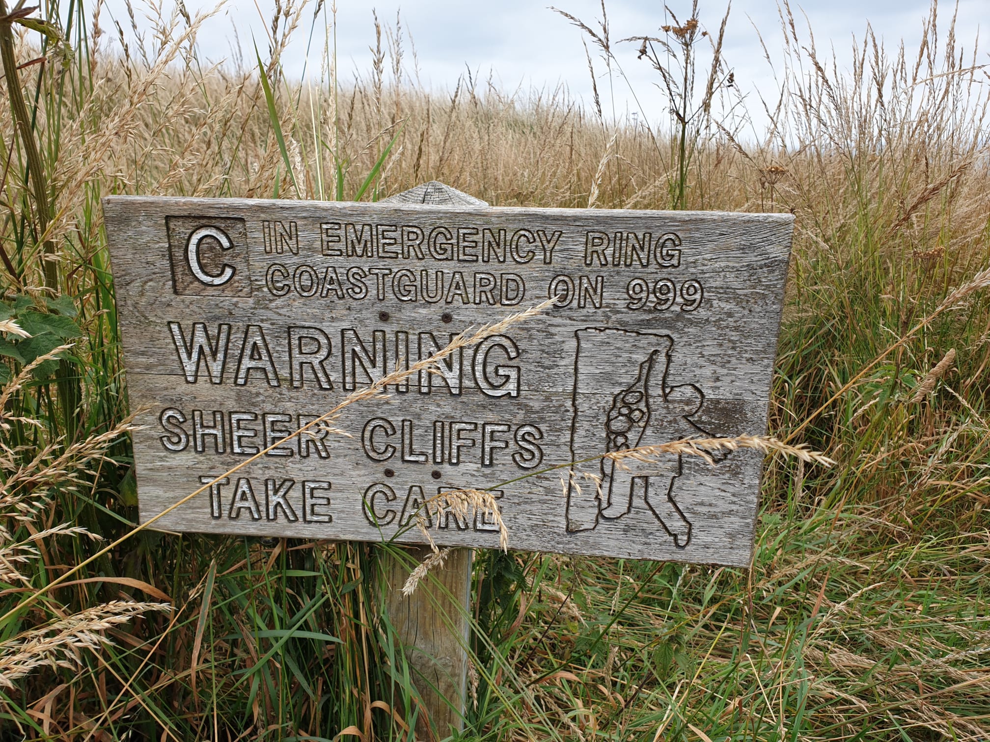
Wandering along the Martian landscape, not getting too near to the cliff edge. This is as far as I got along the coastline, with a brief glimpse of Staithes peaking out from behind the cliffs ahead.
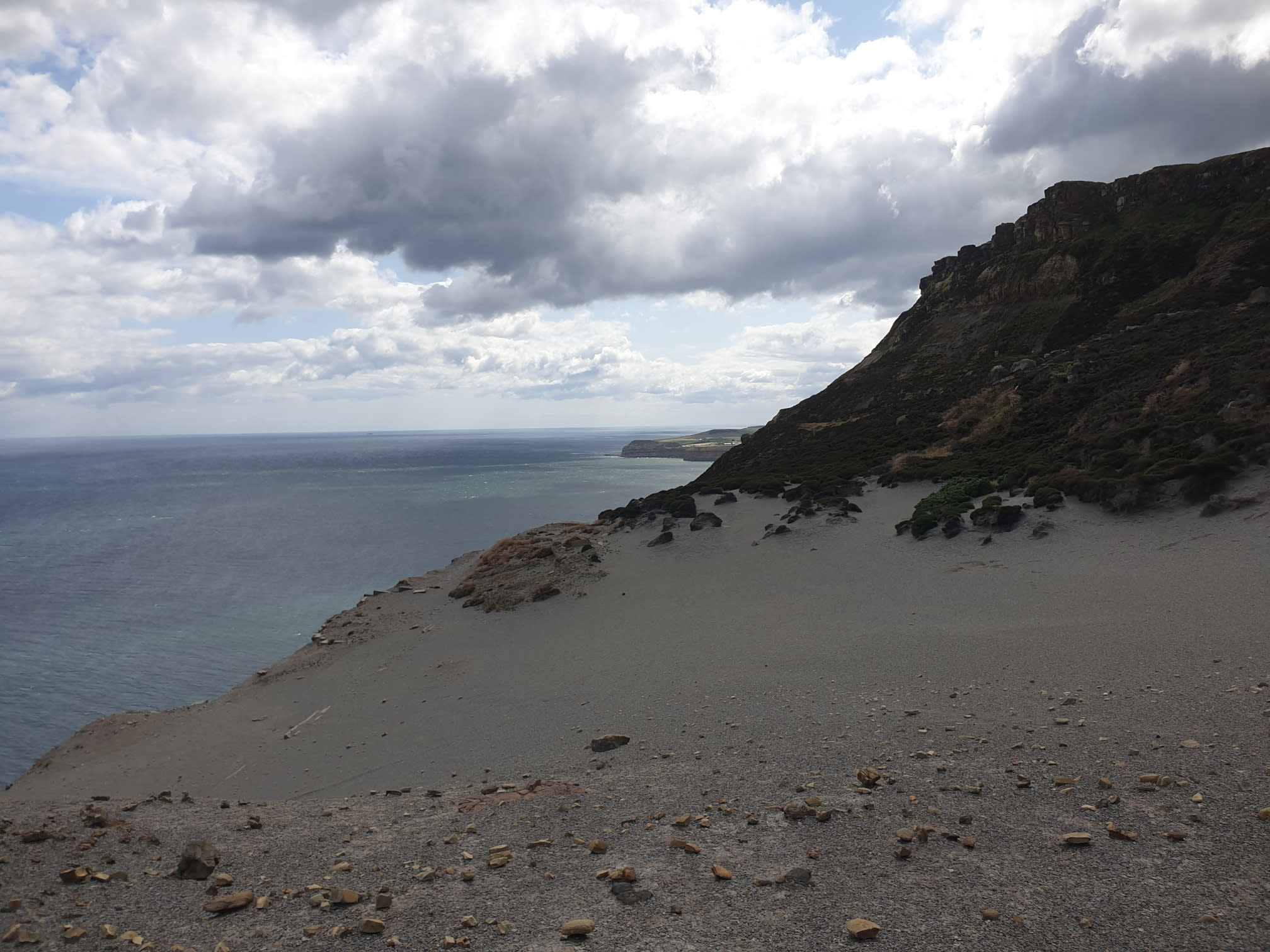
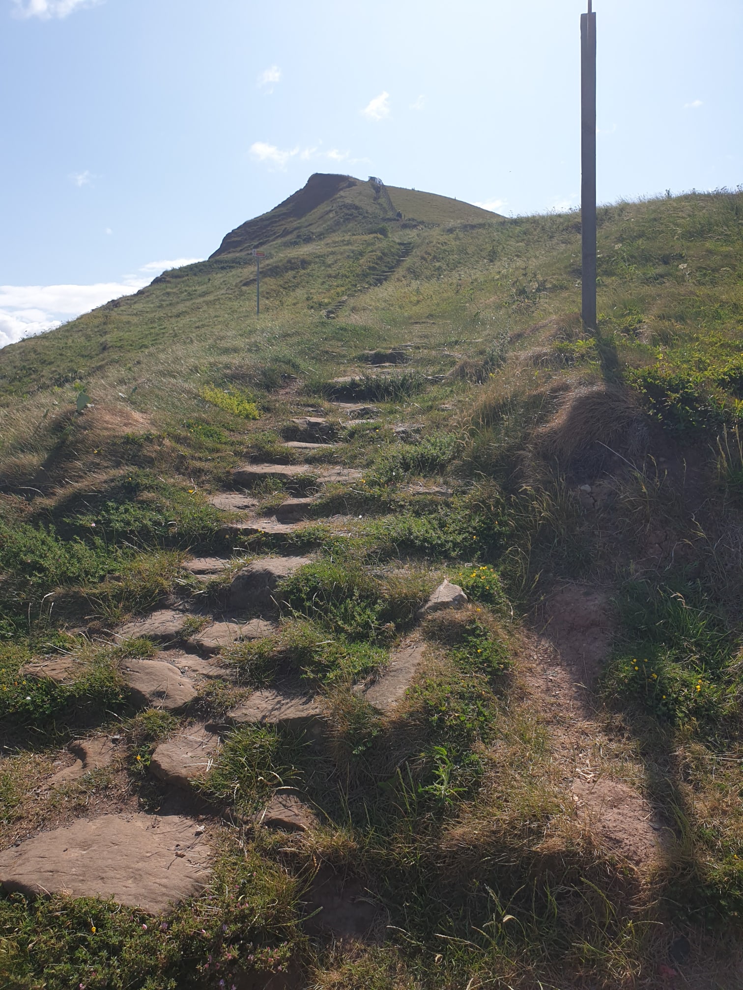
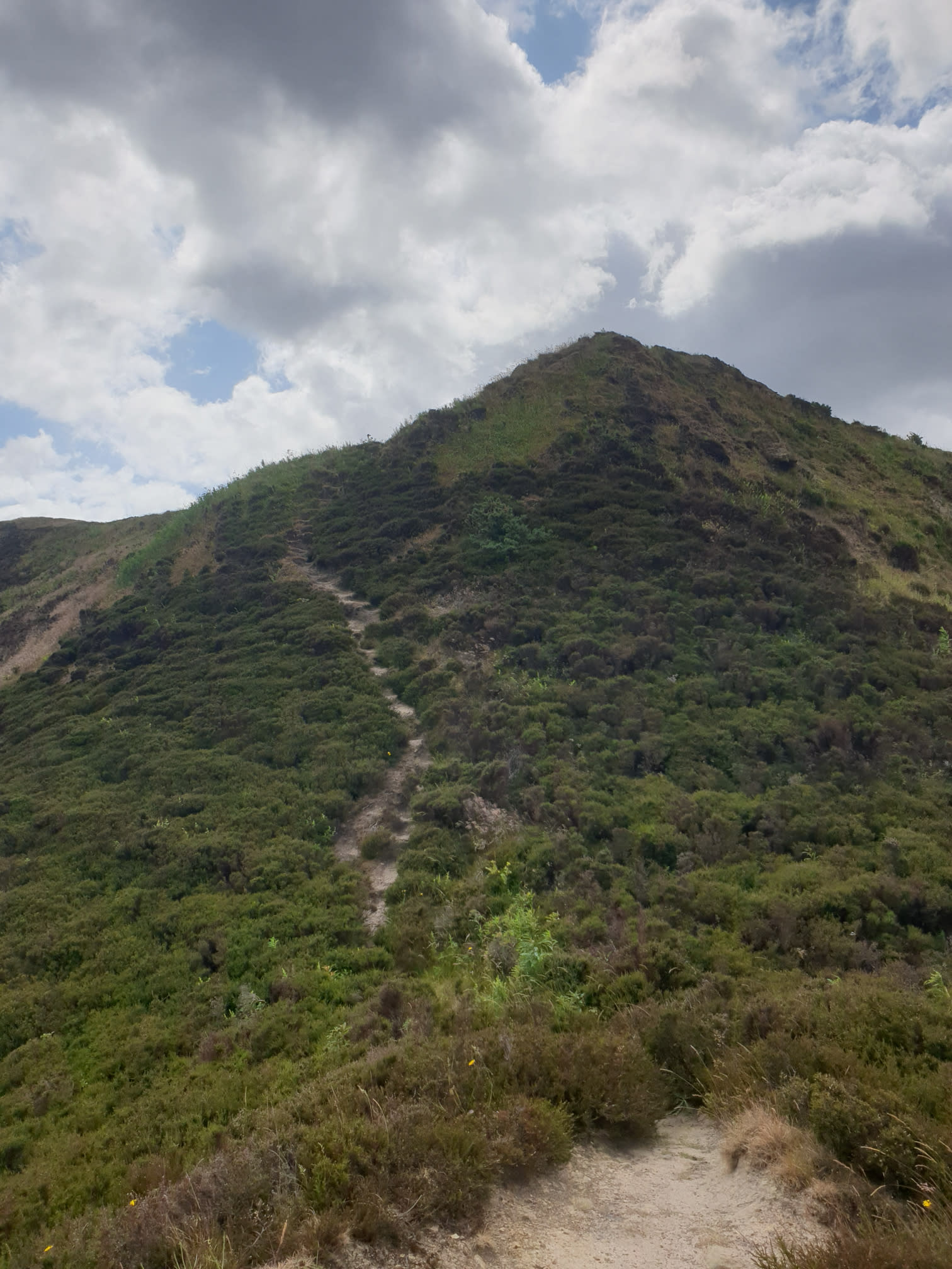
With all the exploring completed, time to head up to the Cleveland Way. This is the path, a rather steep grassy/dirt staircase. If you’re not a fan of heights then it’s just a case of heading back the way you came.
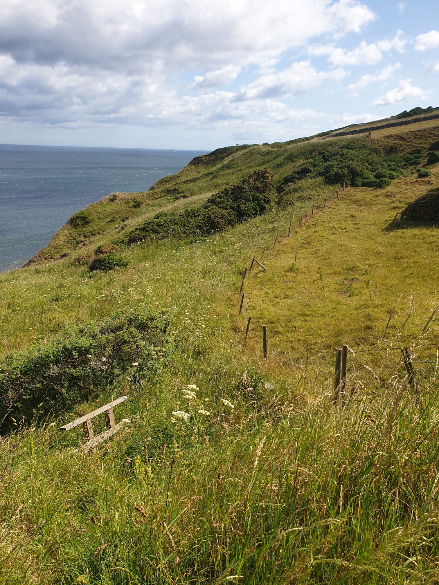
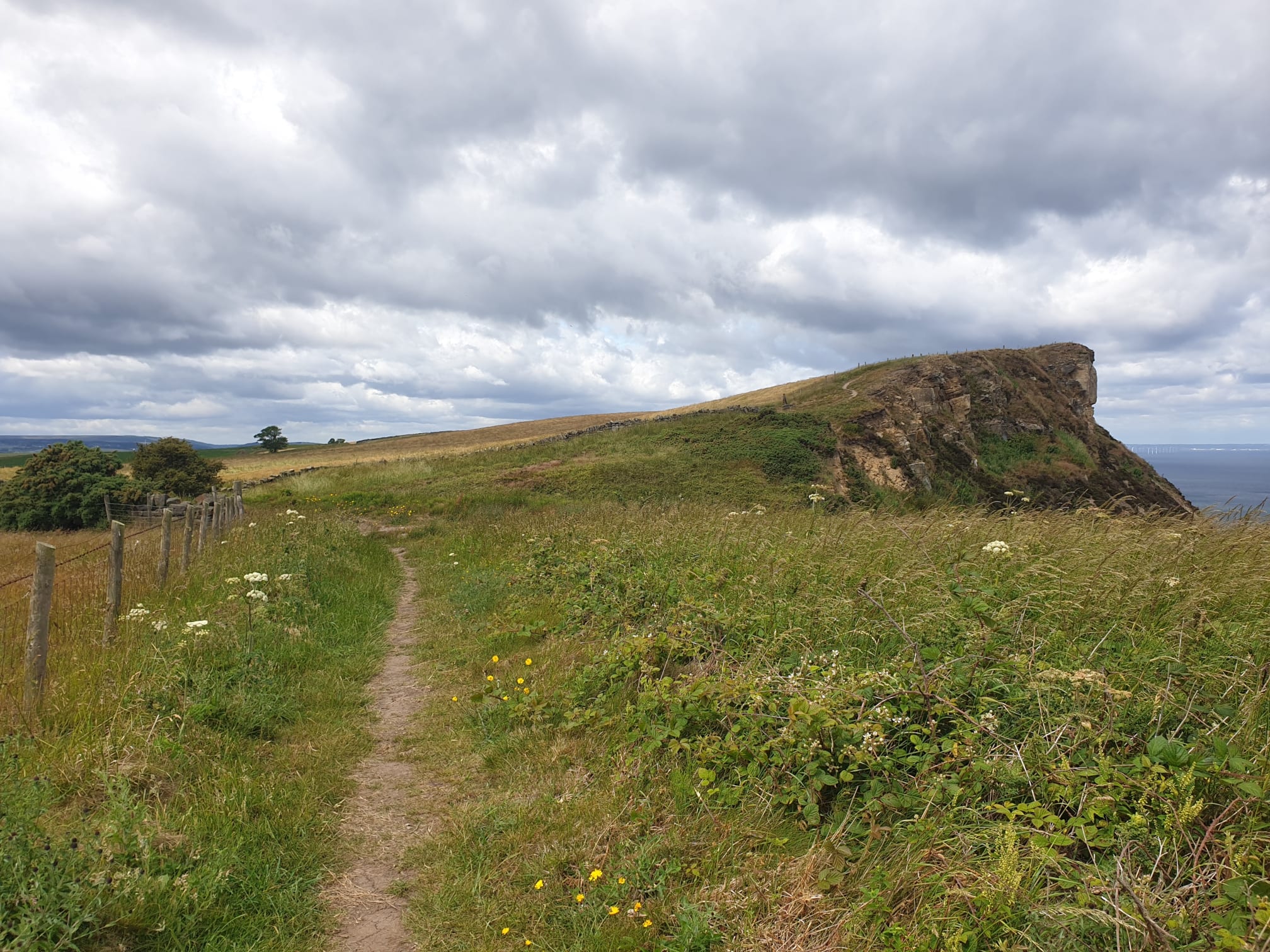
At the top of the path and we’re back on the Cleveland Way. Heading west, follow this path back along the cliffs in the direction we came in.
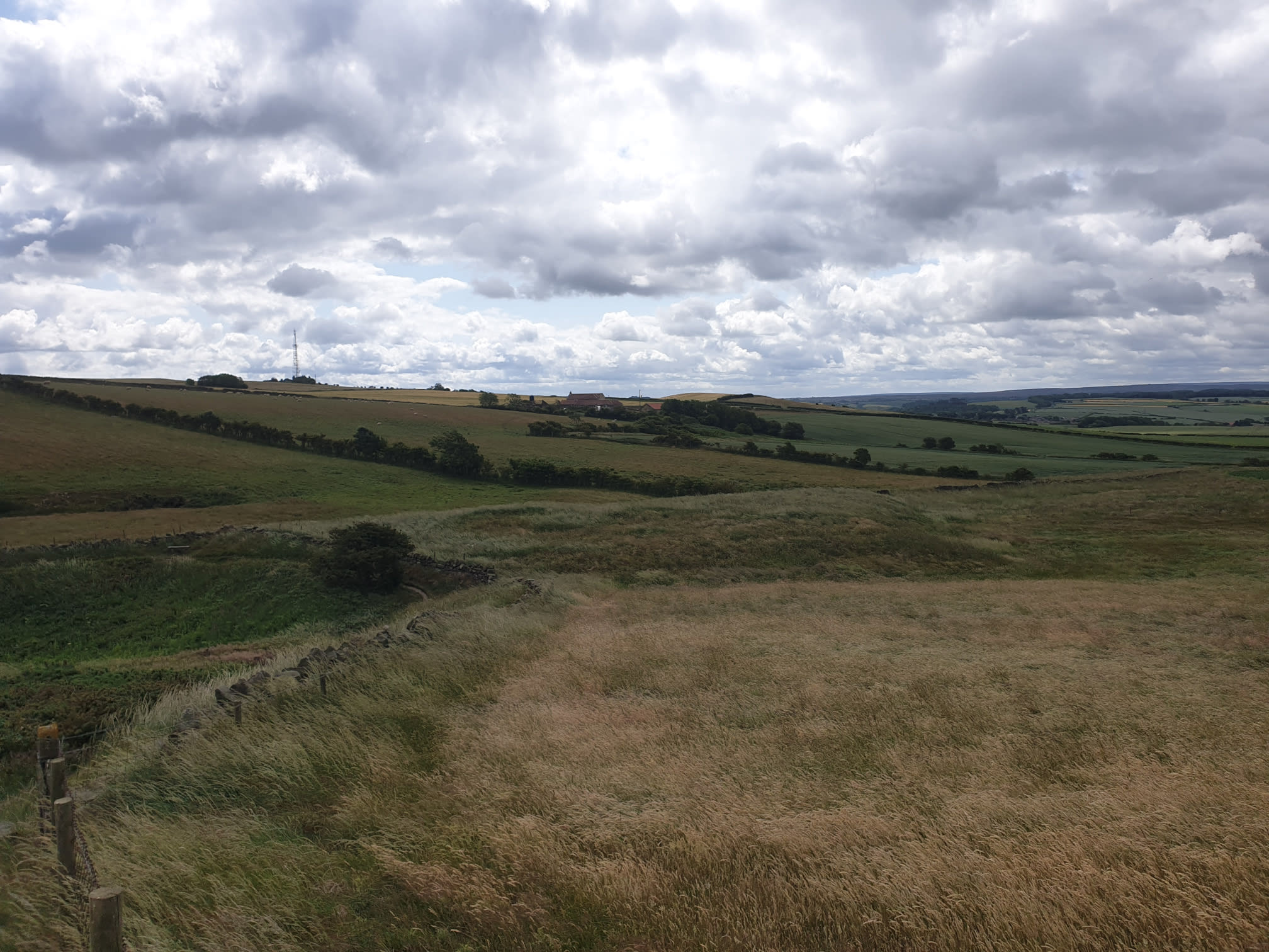
A quick look inland, though its difficult to beat the seaside views.
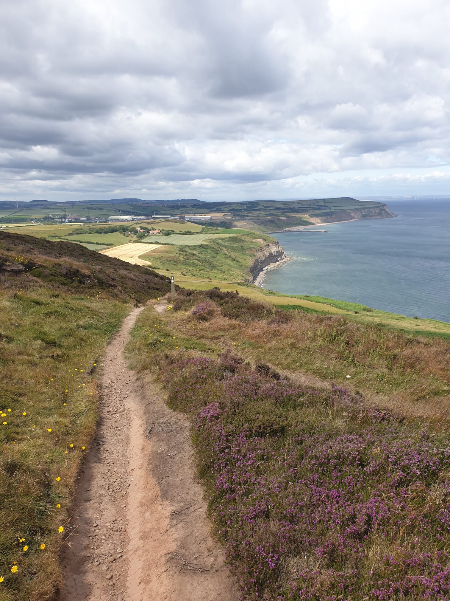
This pic shows the way we came, with the quarry and ridge path through the heather below.
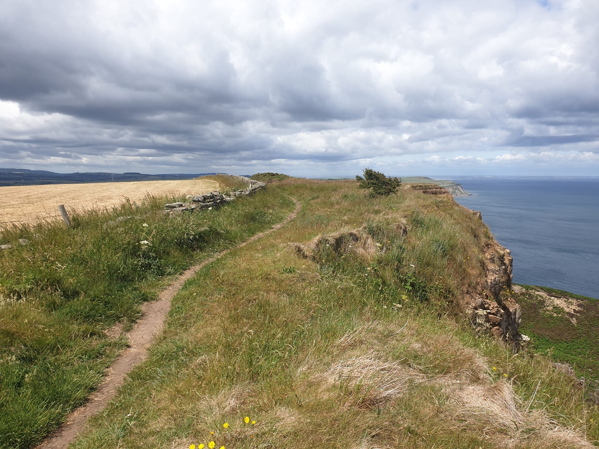
Keep following the path, it’s the Cleveland Way, so well signposted.
Heading downhill towards the farm.
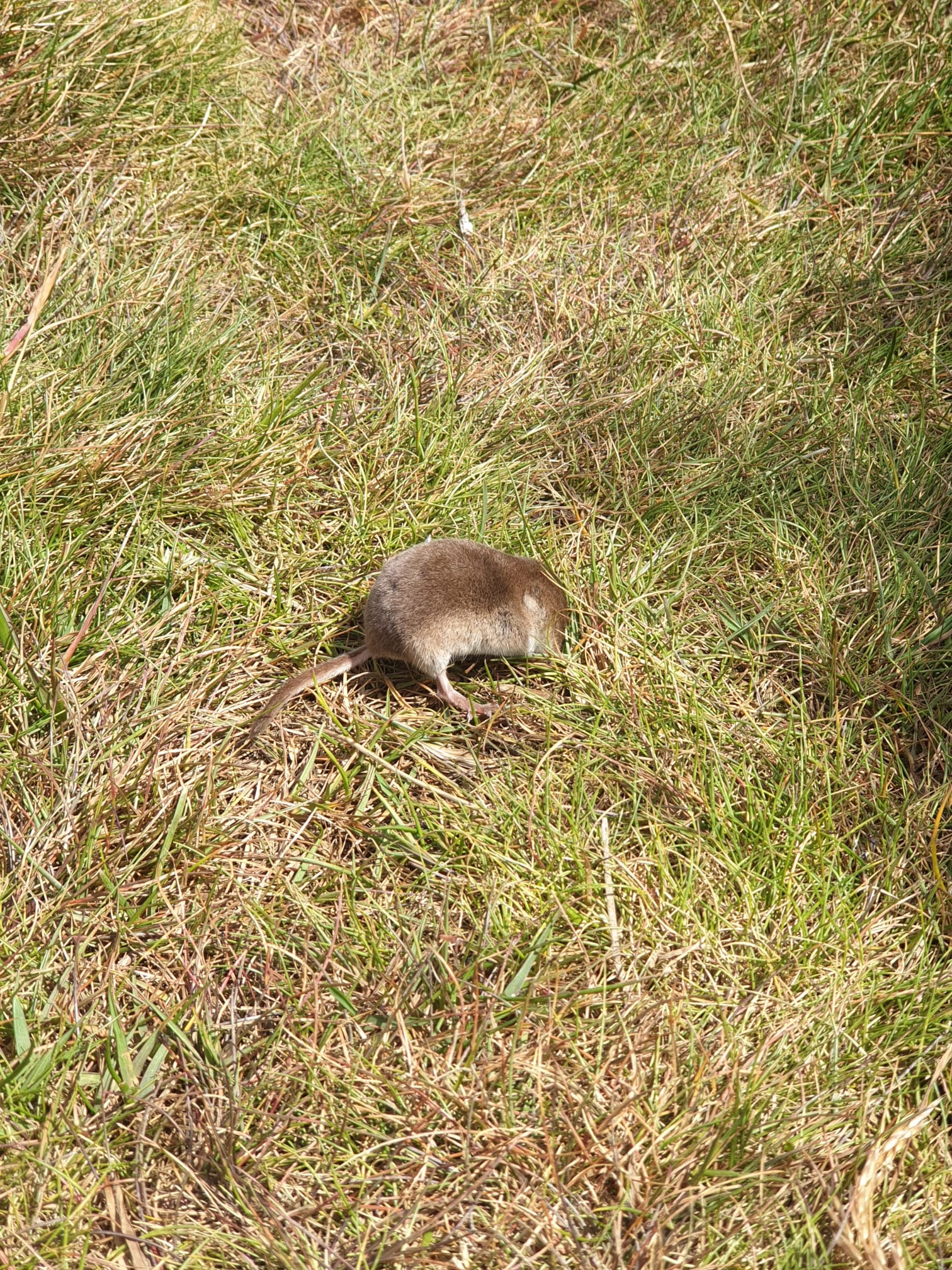
Obligatory animal pic, this shrew/mouse/vole was fine and well, they were just playing dead and soon ran off after I got too close.
The path passes by this farmhouse.
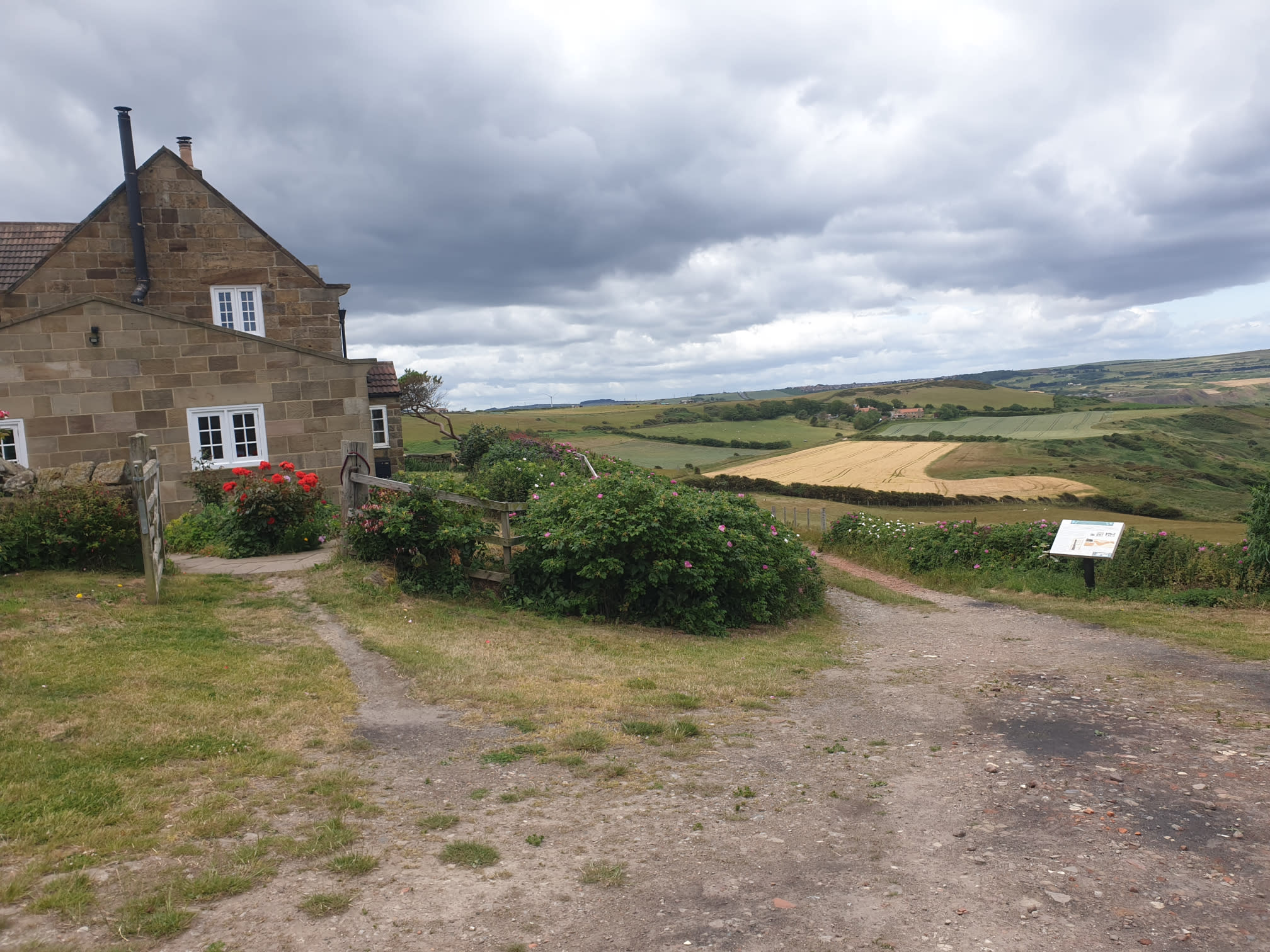
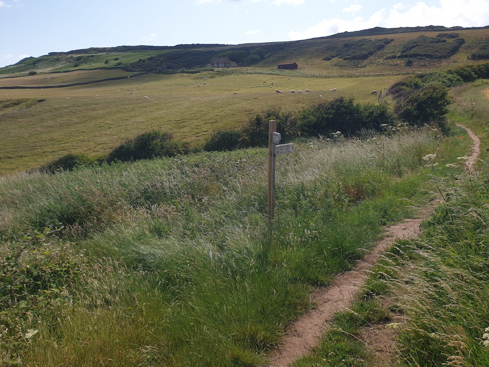
Not far after the farmhouse is a signpost pointing out the path to the right which we take to get back to the cliff edge where we were earlier.
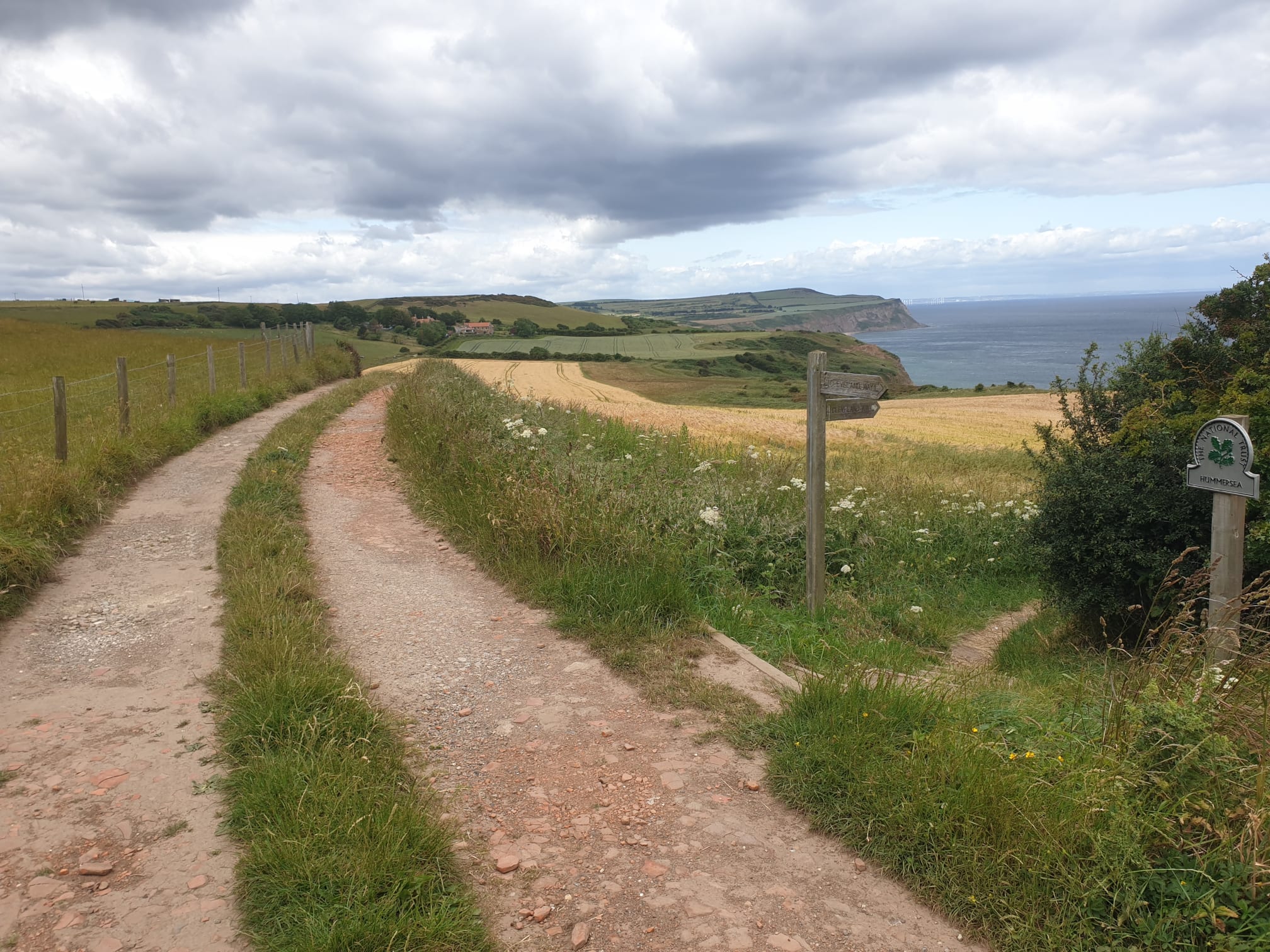
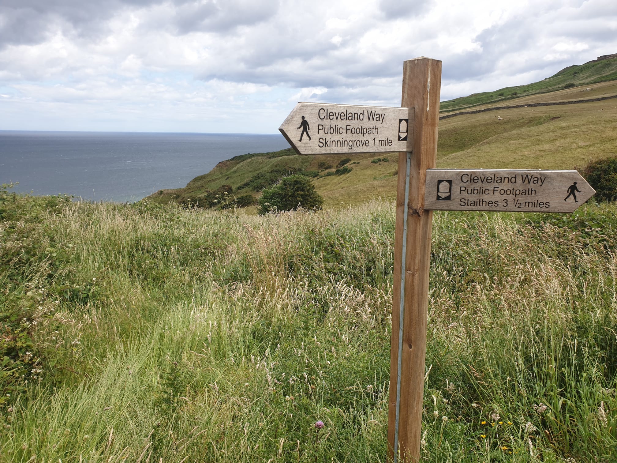
And here is the signpost we were at earlier, showing the vague path we took through the bracken, but not this time, this time we’re following the “Skinningrove 1 mile” sign back the way we came.
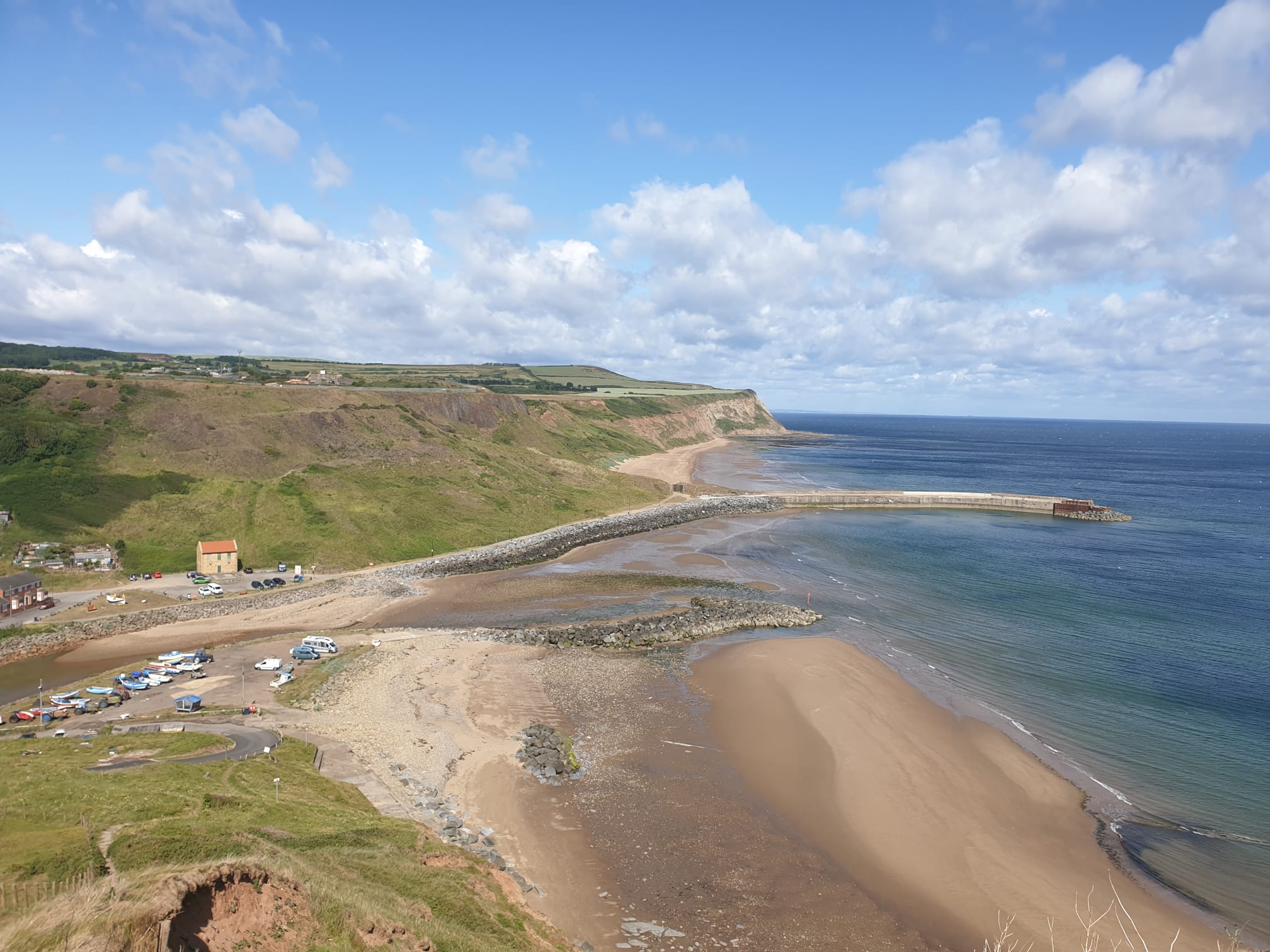
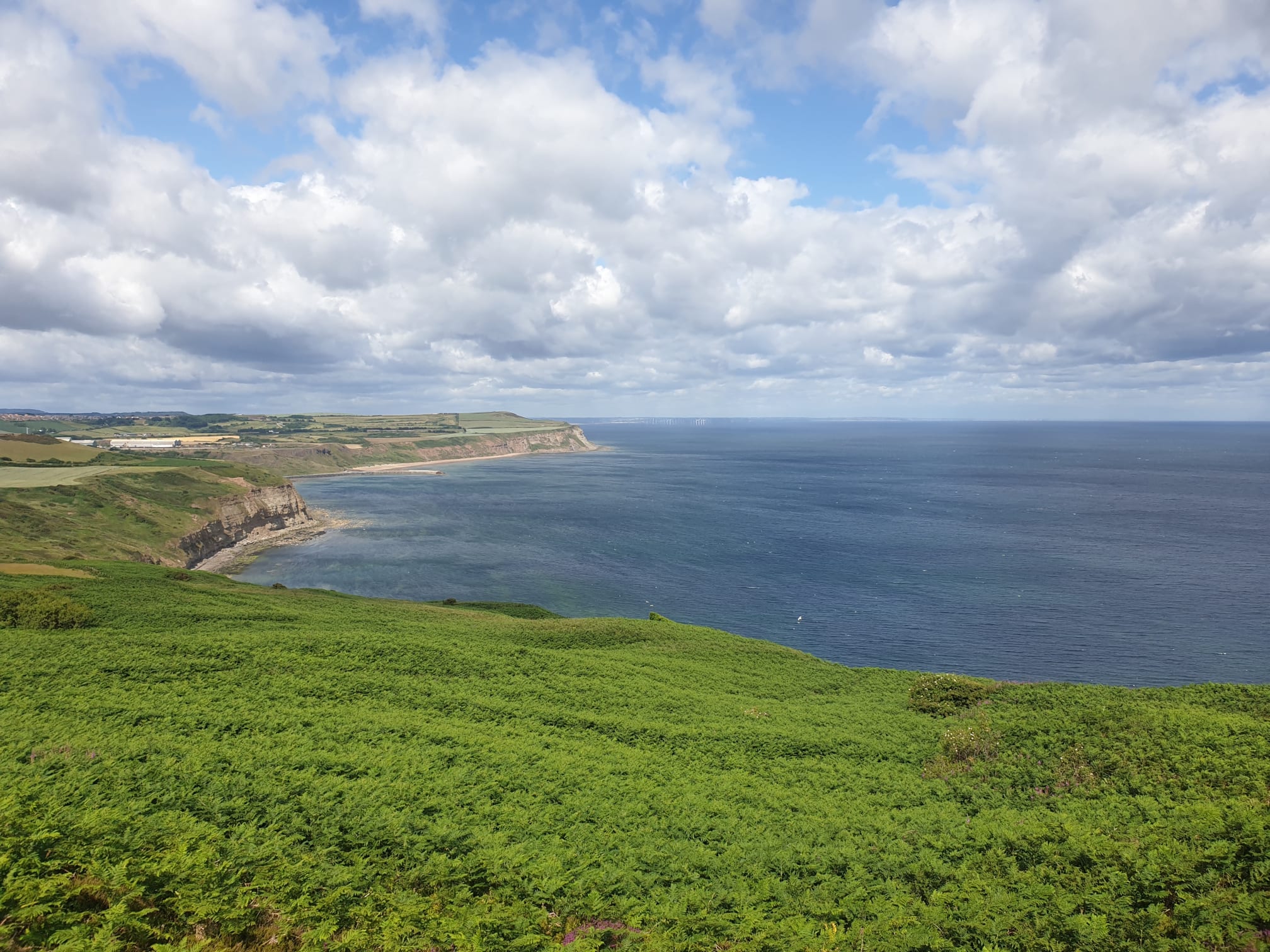
Such a nice blue/green sea, worthy of the main picture for this page.
Back down the steps to Skinningrove.
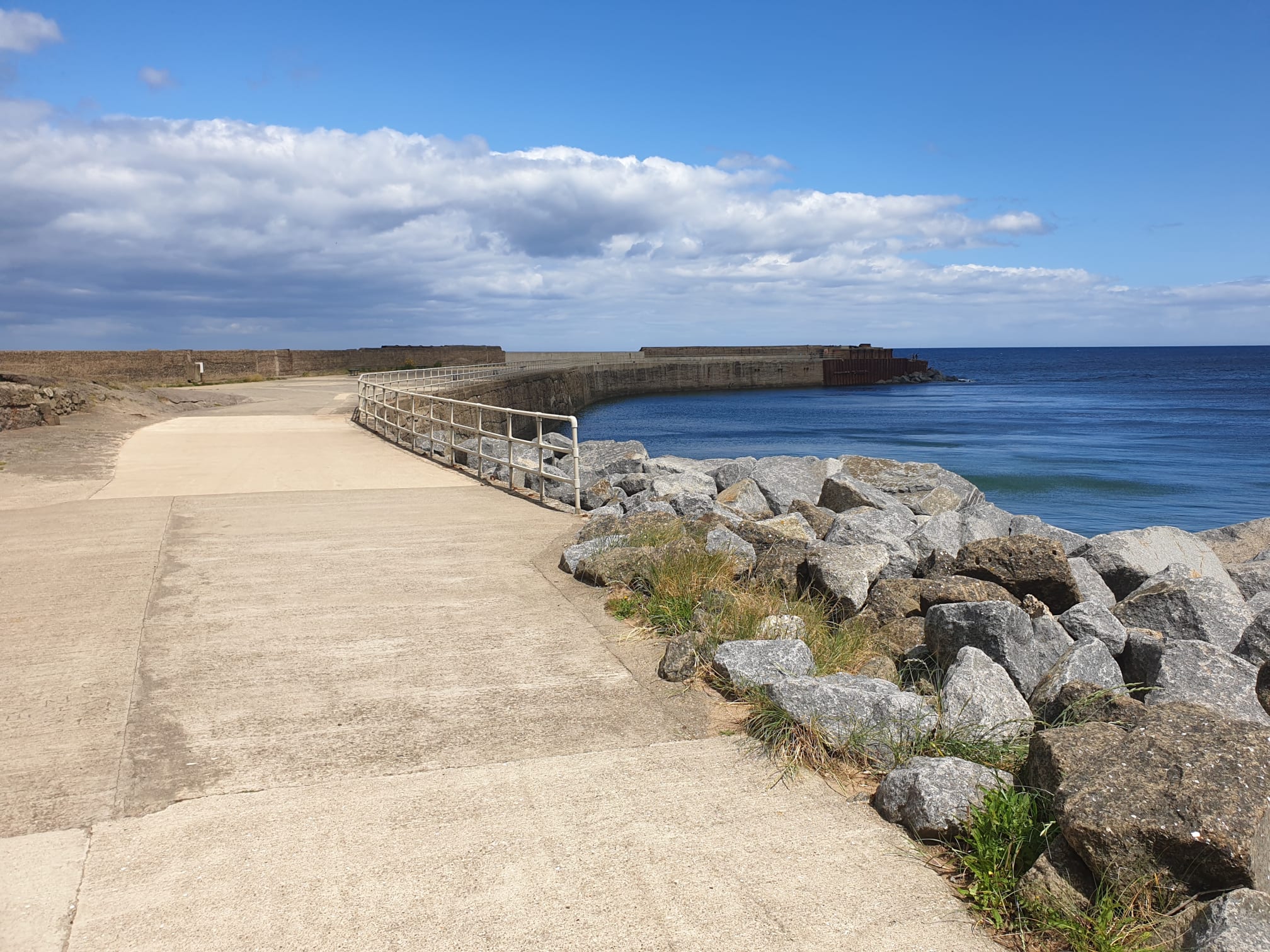
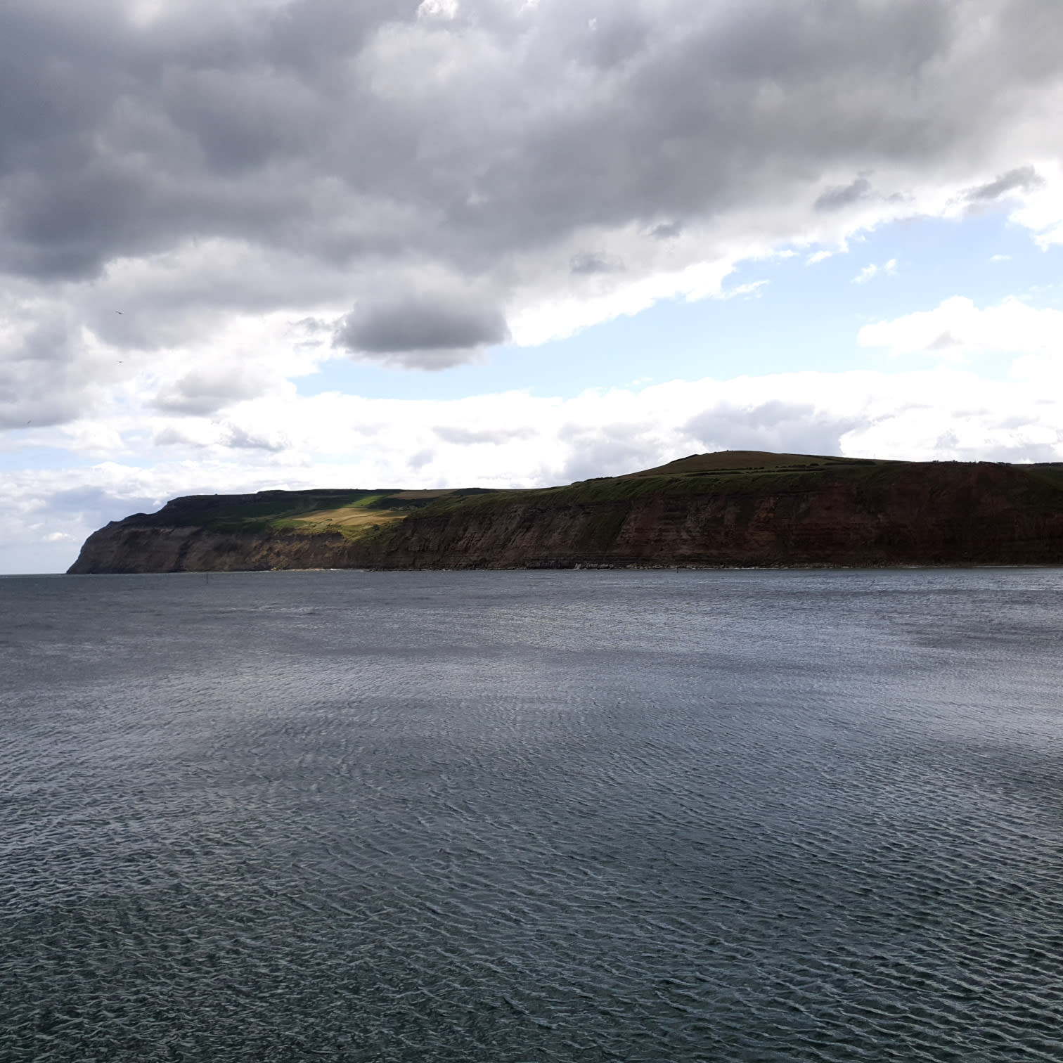
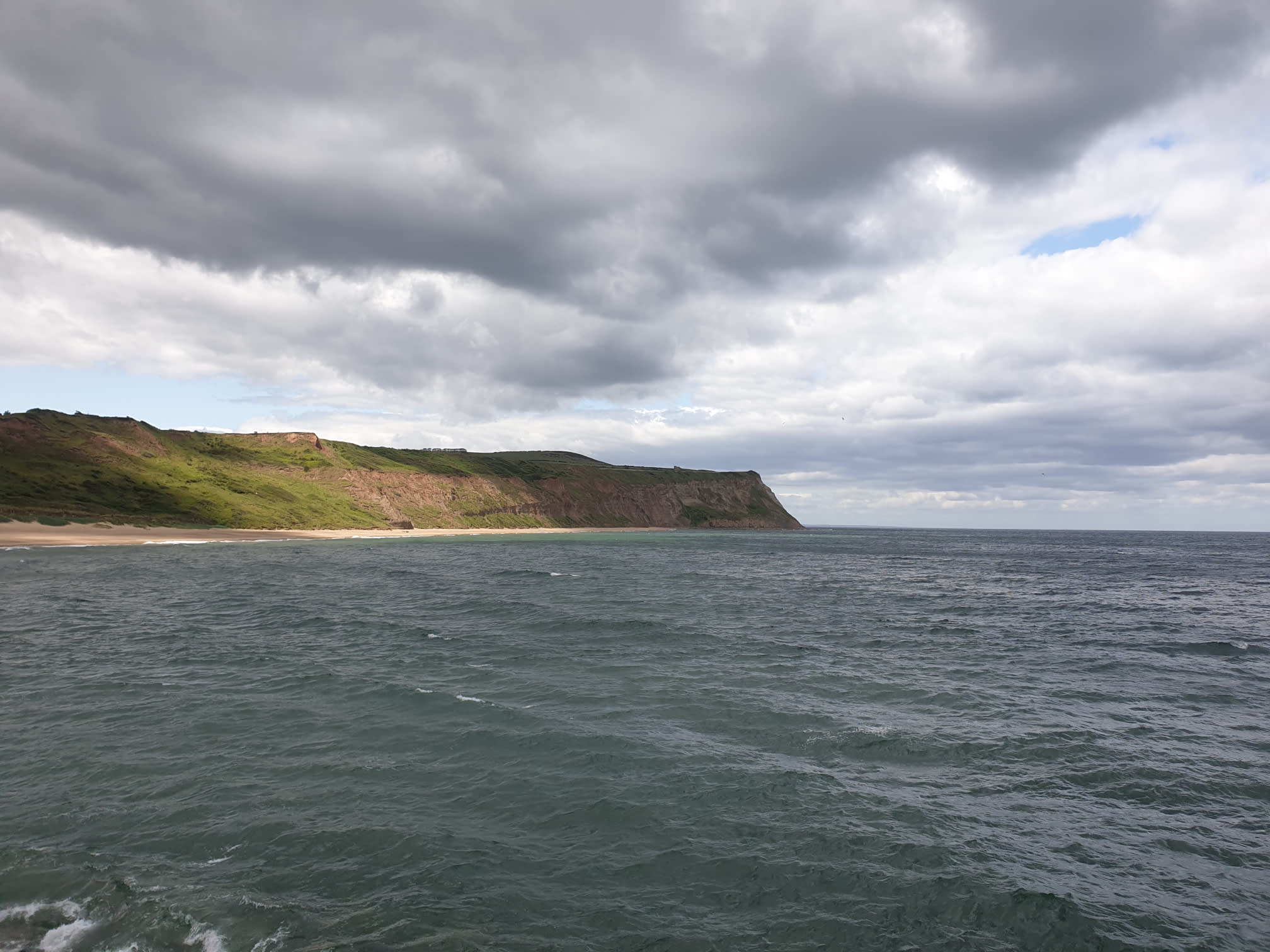
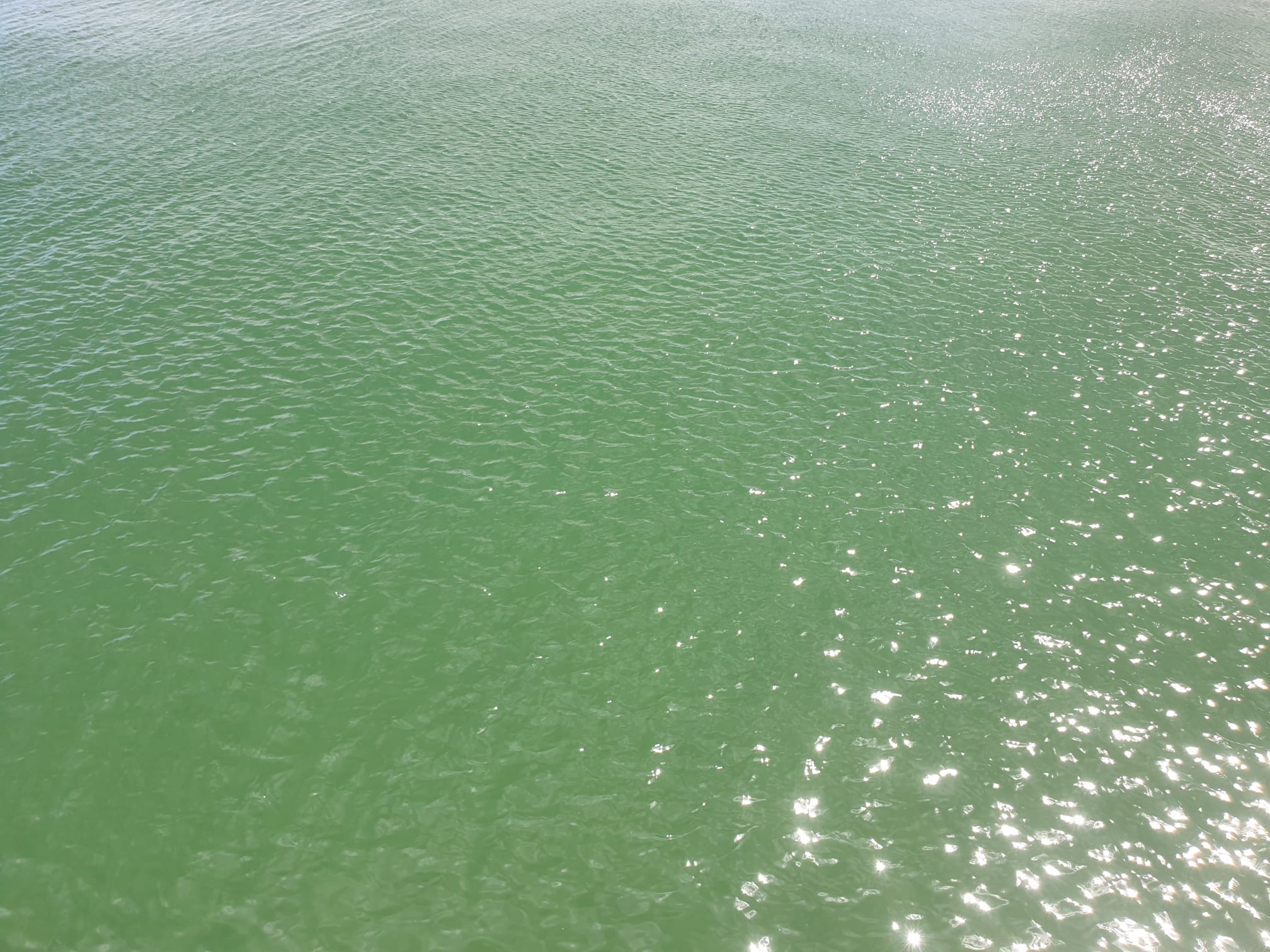
Instead of heading back to Tiggy, I headed onto the Jetty and took a couple of pics in both directions, and a closeup of the sea.