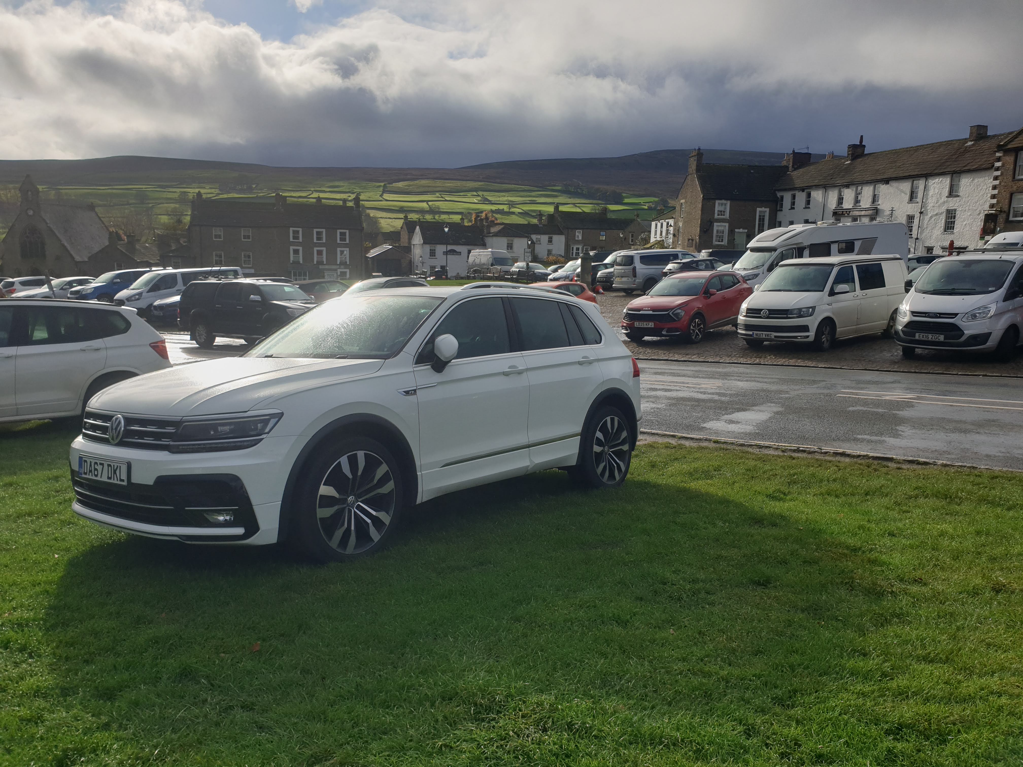
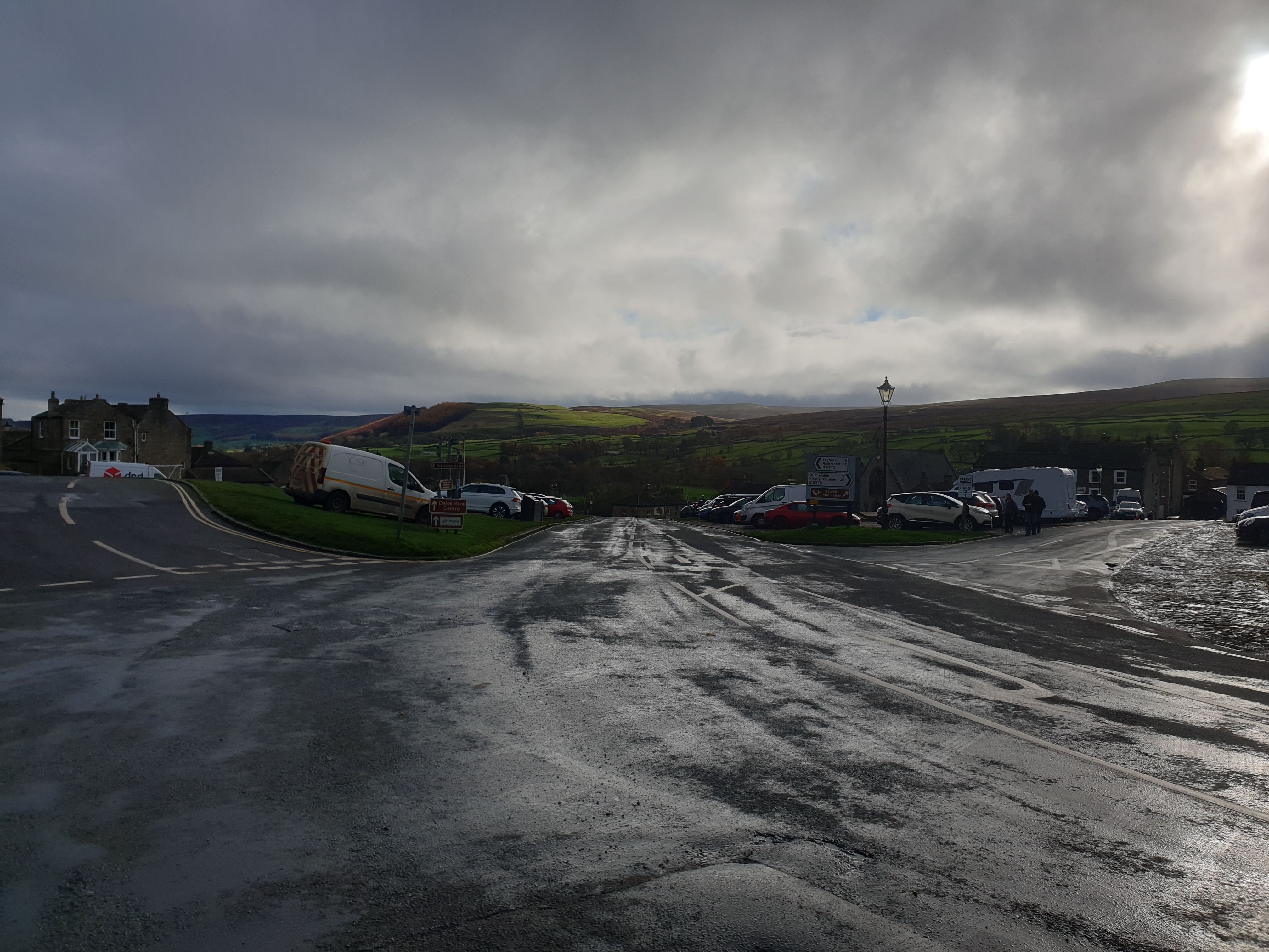
Reeth is a picturesque market town in Swaledale in the Yorkshire Dales, with a large village green and a cobbled car park. You can park on the green and make a parking donation using the parking honesty box.
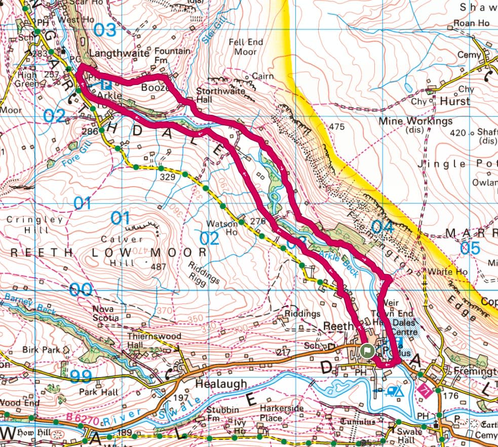
This route starts in Reeth, parking at/on the village green, and follows the river north west through grassy fields to the lovely village of Langthwaite. You then do an about turn, with a bit of a steep uphill road, and head back to Reeth on the other, slightly more overgrown, side of the valley via the little village of Booze.


Leaving Tiggy on the green (and popping some cash in the nearby parking donation box).
A few metres away, looking back at Tiggy, you can see that on this particular day the weather wasn’t looking great. But I had my waterproofs ready just in case and it turned out that I dodged all the showers and it produced a few rainbows along the way.
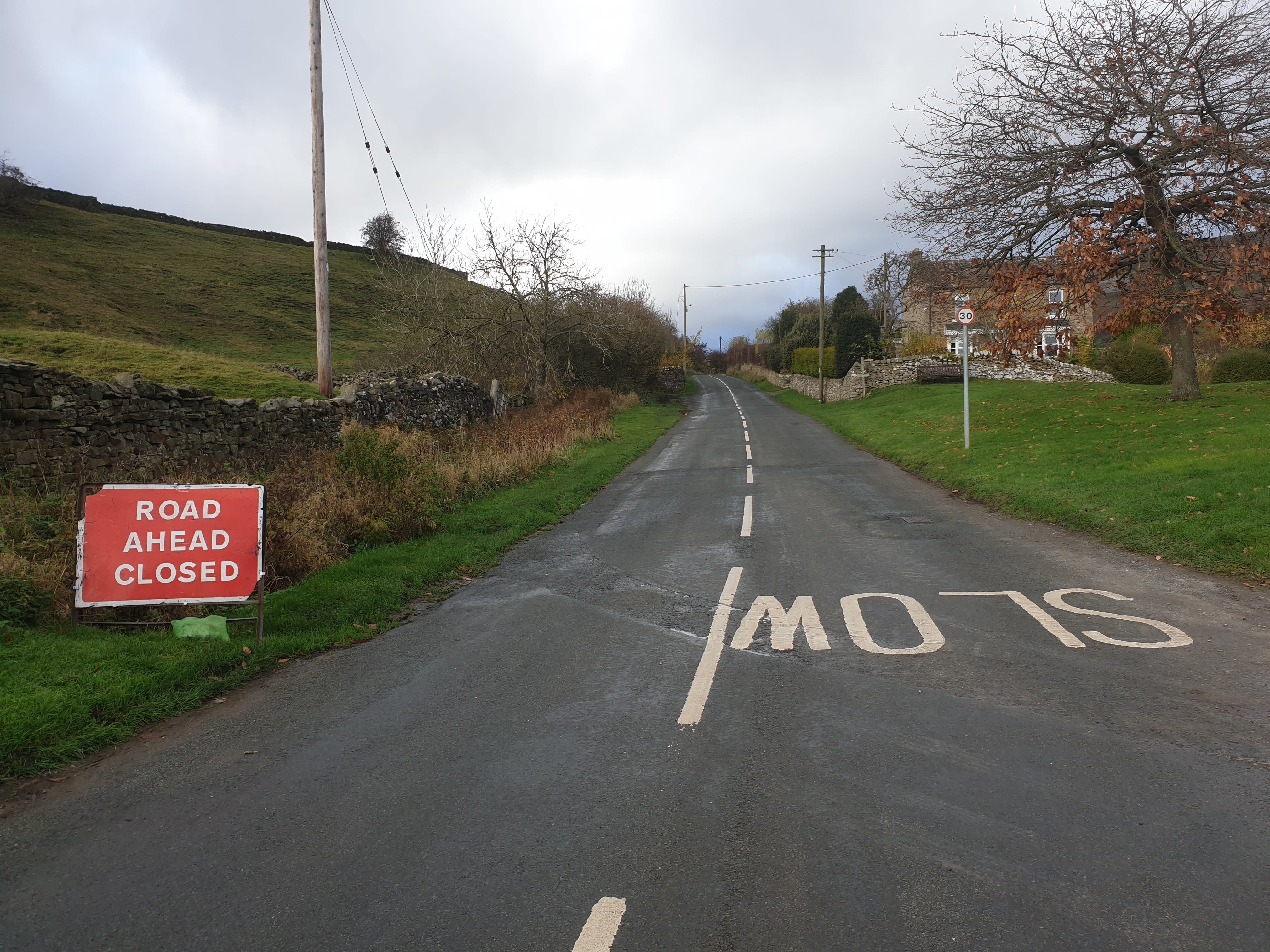
Leave the market square and head north up the road named the Regional Route 71. Worrying about the weather was less of a concern as an unexpected Road Ahead Closed sign appeared, thankfully, it was further along the route.
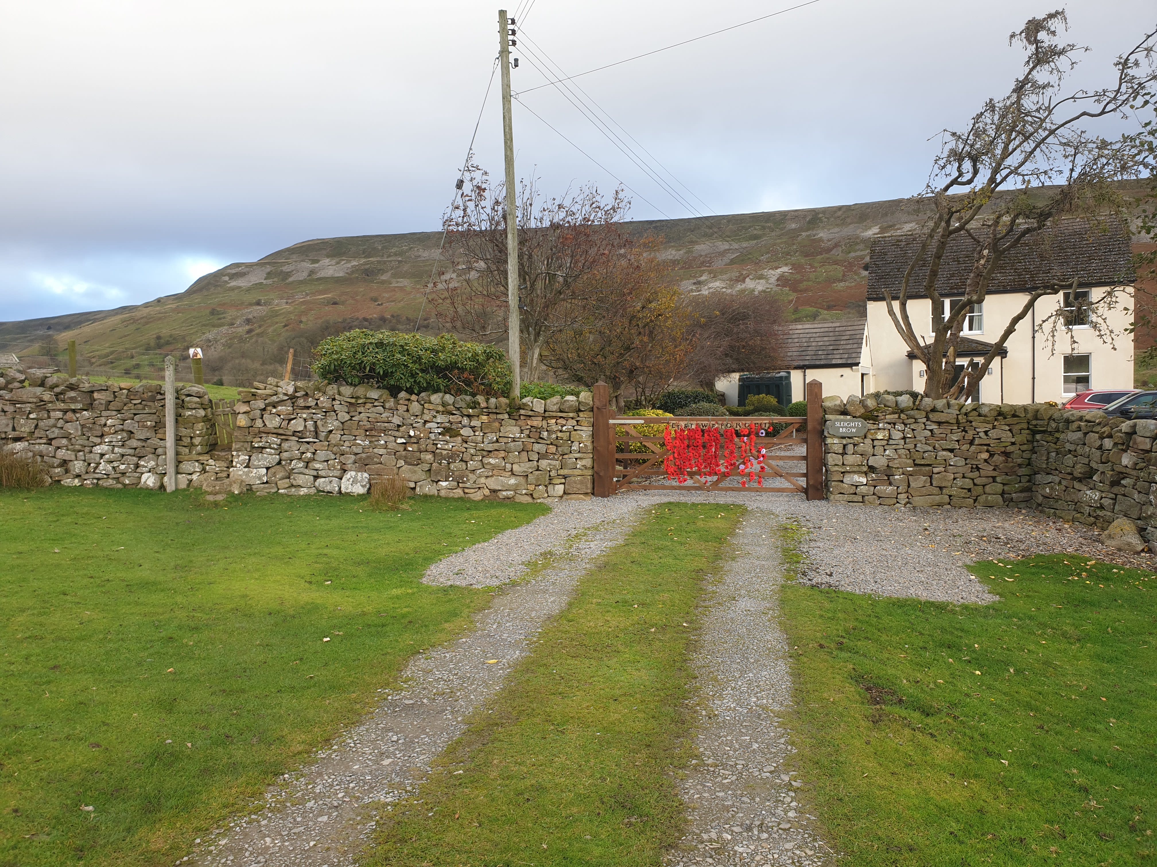
Follow the road north, up Jenny Hill for a short distance, just as the orad bends to the left, take the footpath on the right, just by this wonderfully decorated gate at Sleights Brow (this walk took place on Remembrance day weekend).
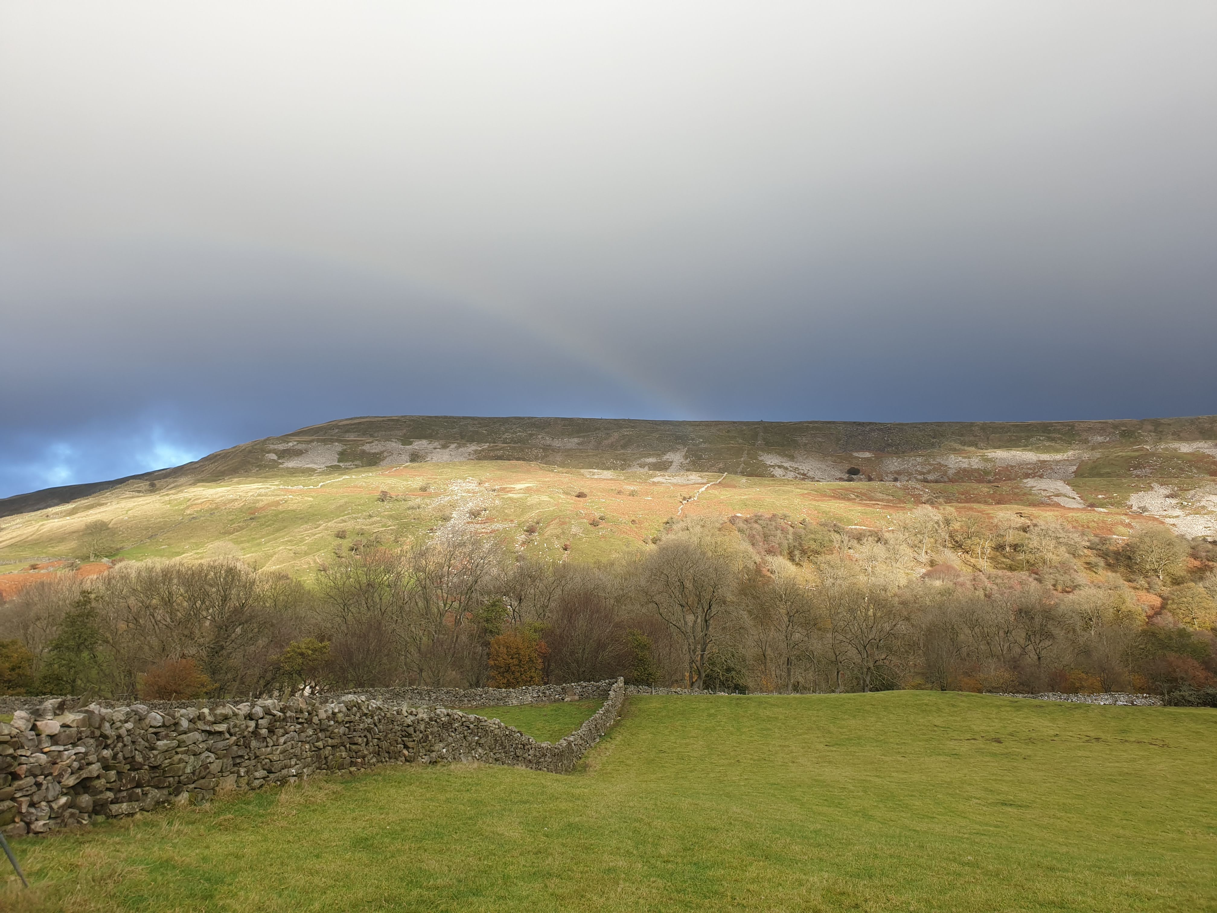
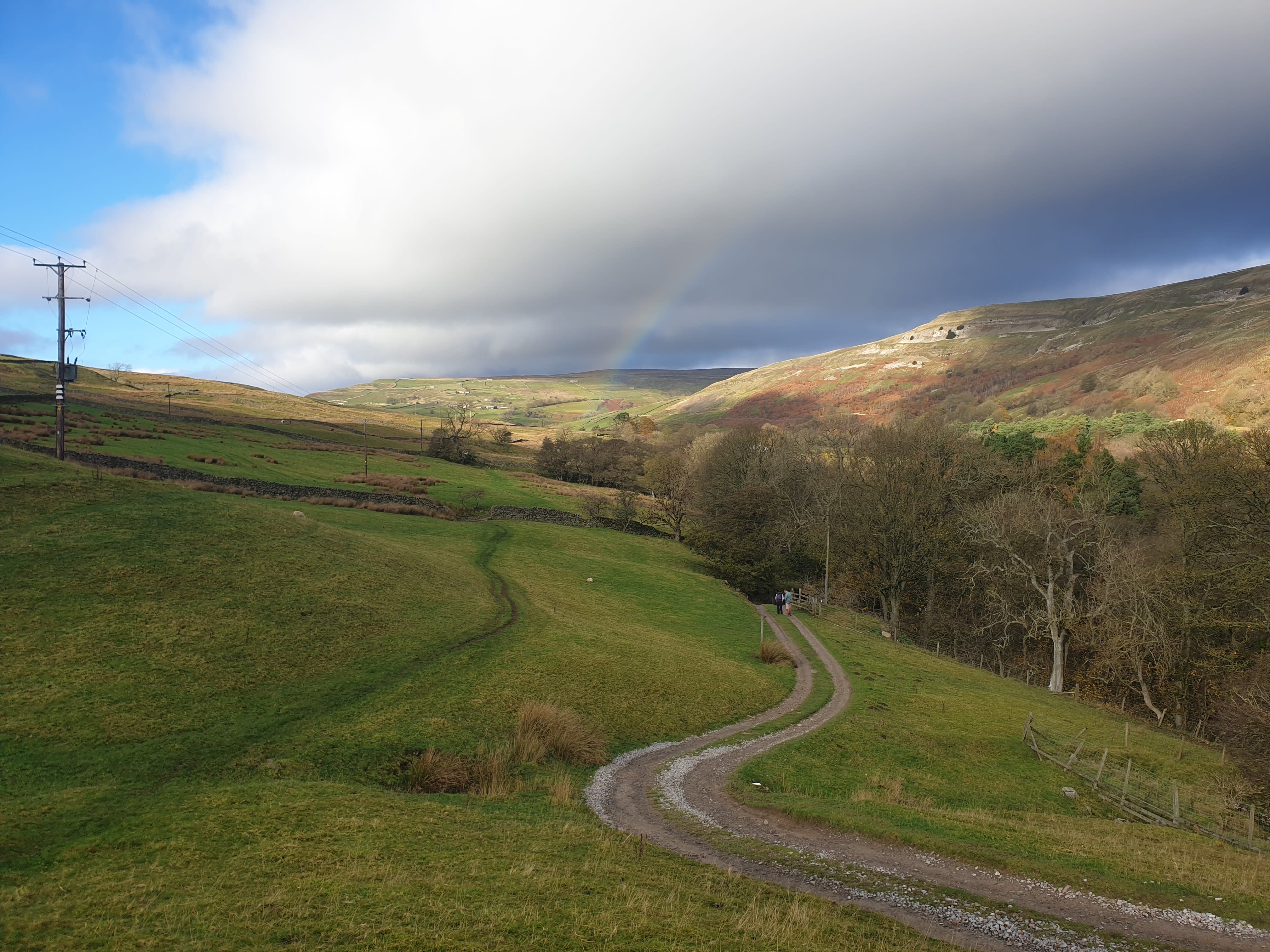
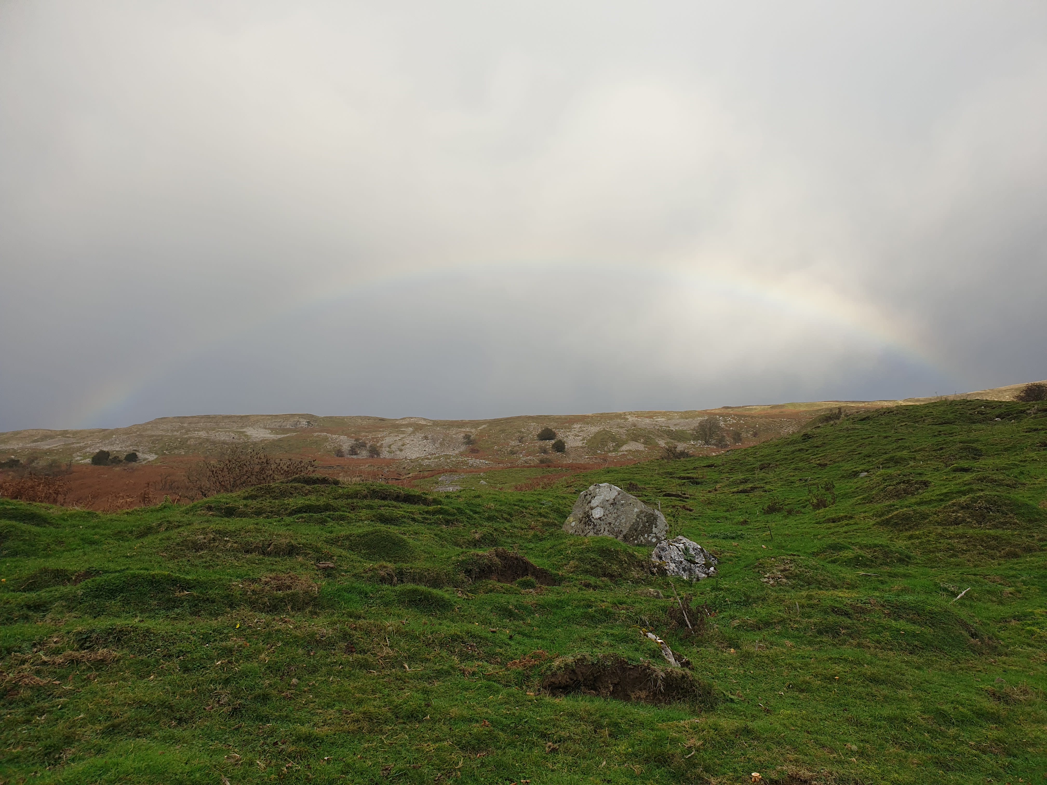
Looking across the valley, the bottom of the hill, behind the trees is the route back. Here is the first view of a rainbow. Rainbows cannot be guaranteed on this route.
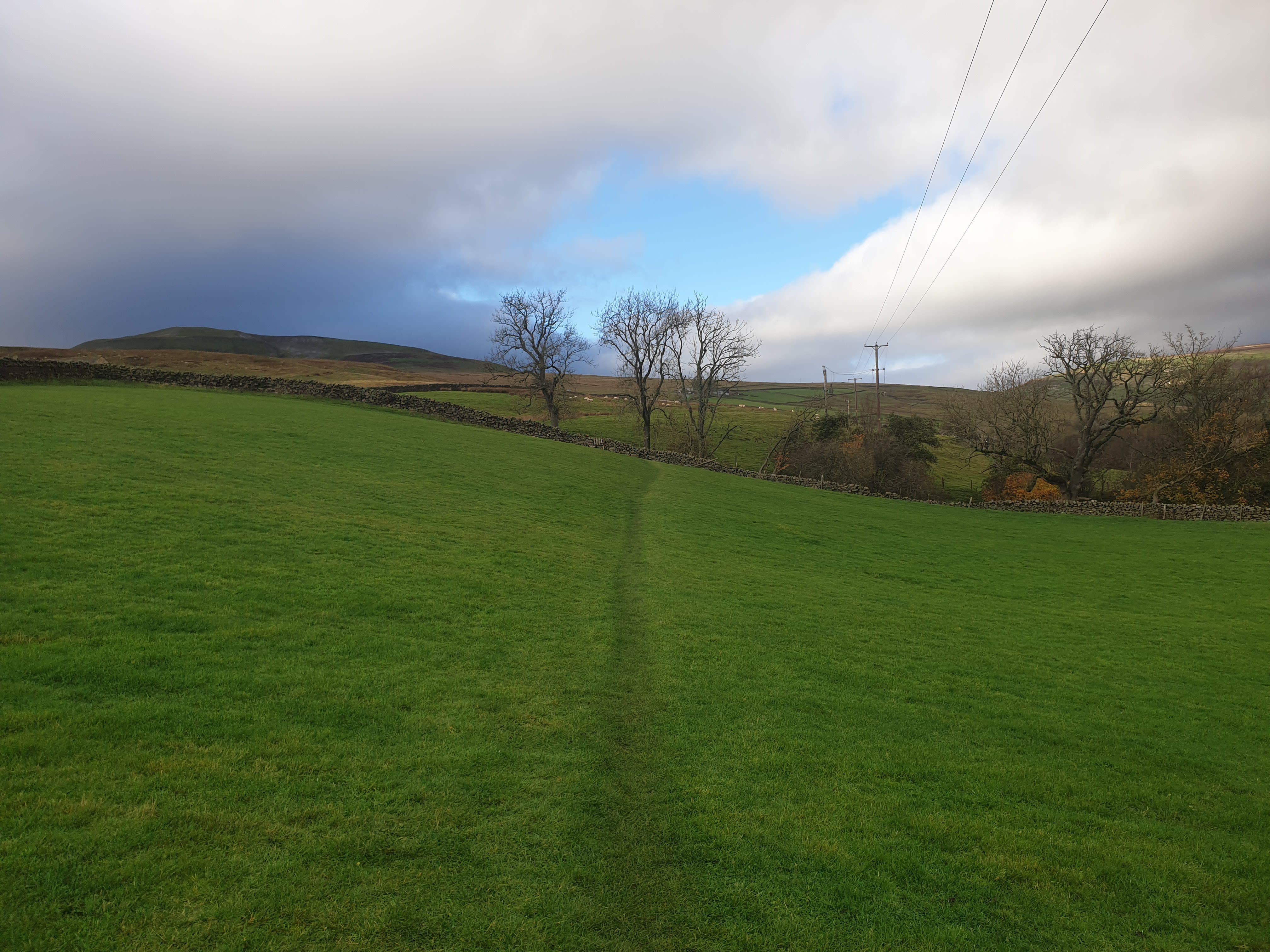
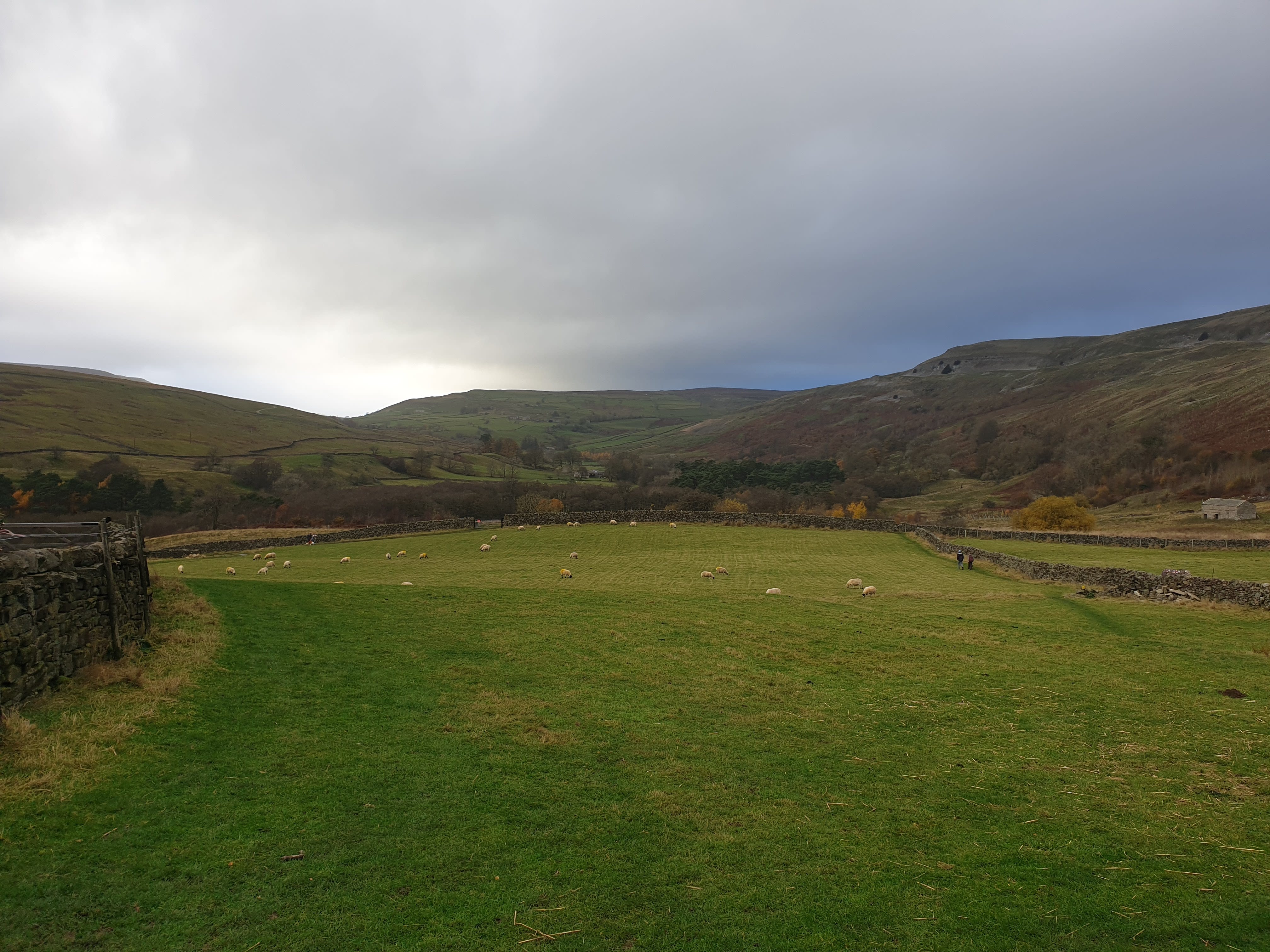
Head north west following a grassy path through fields for quite a while.
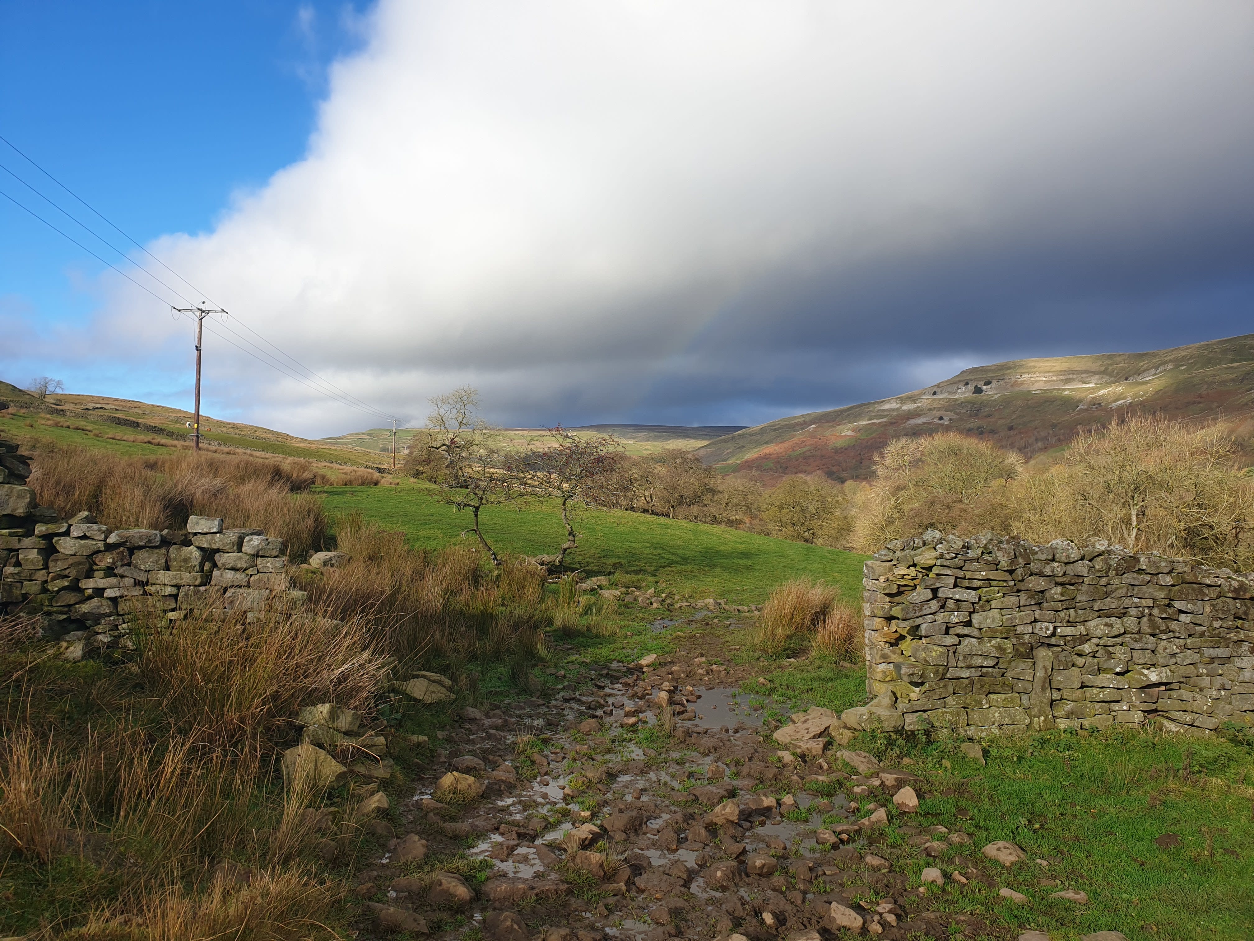
Further along the route a second rainbow appeared.
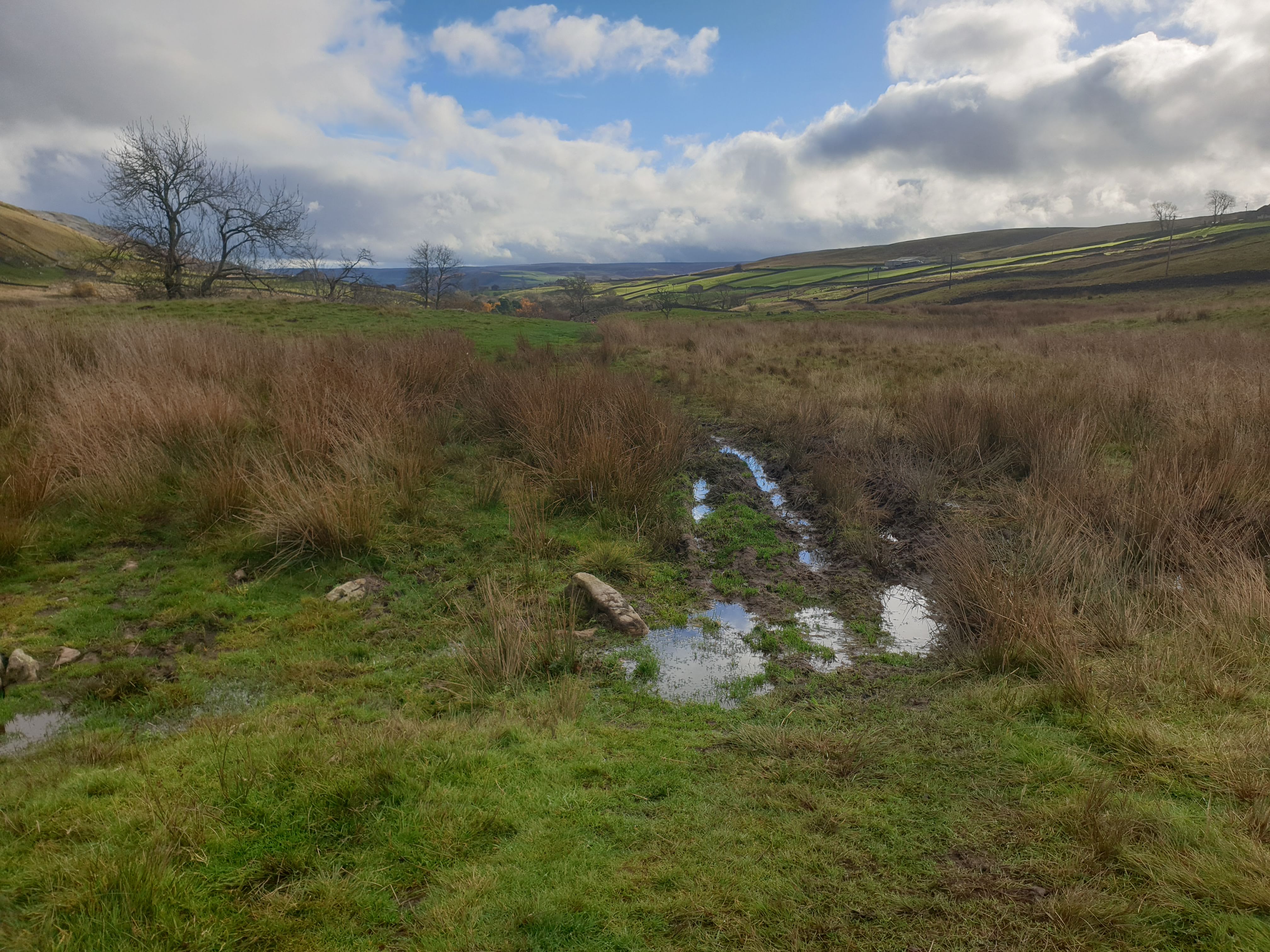
Successfully dodging the rain showers so far, the past deluges made some of the route a little tricky.
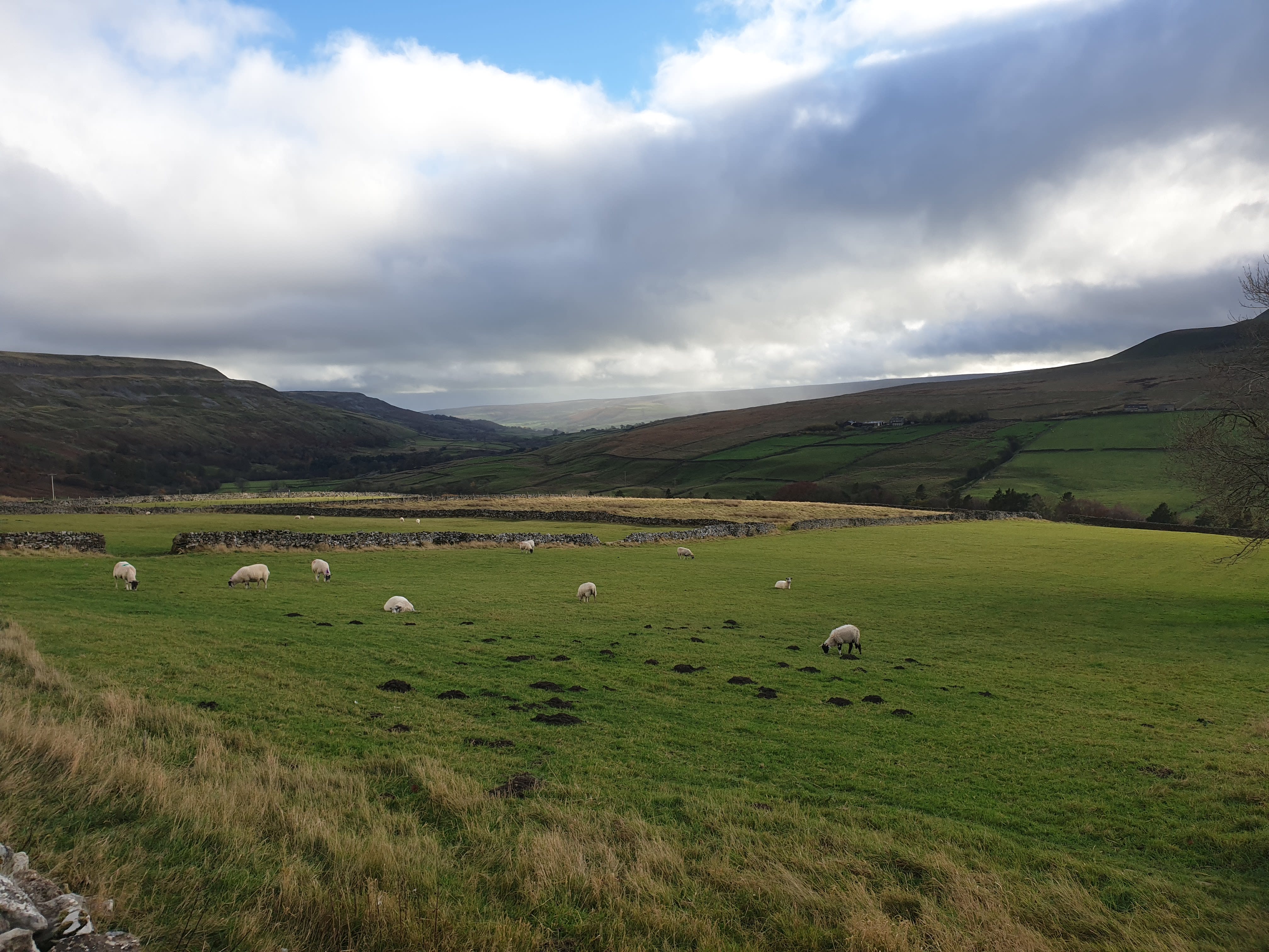
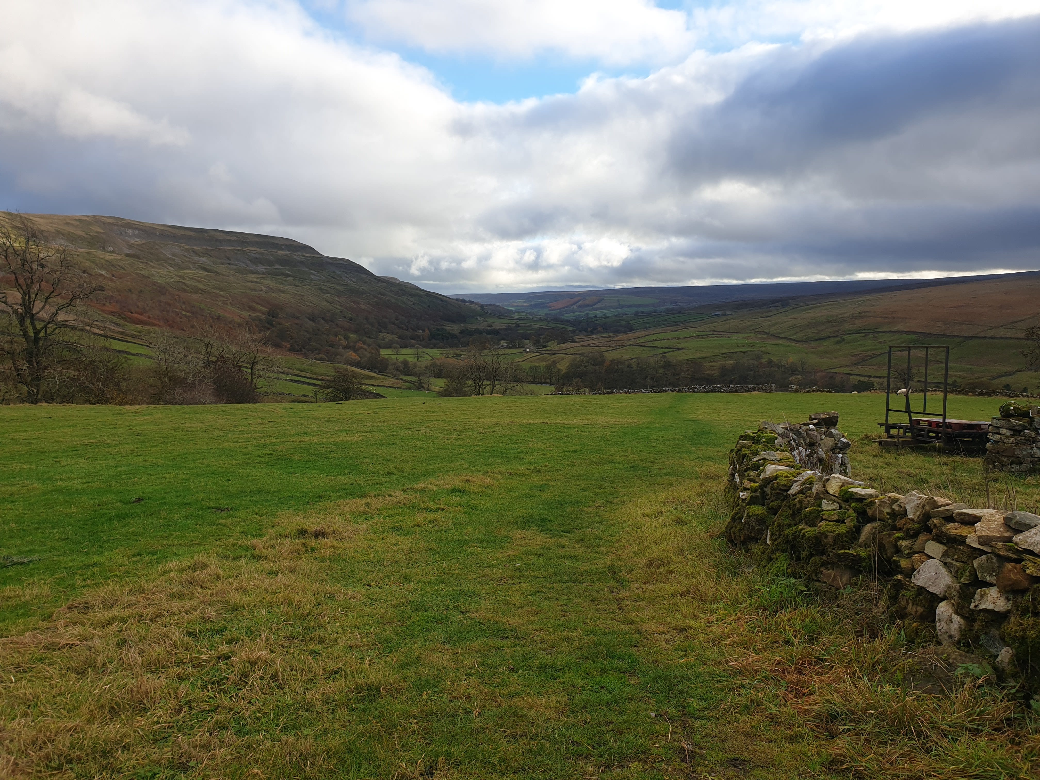
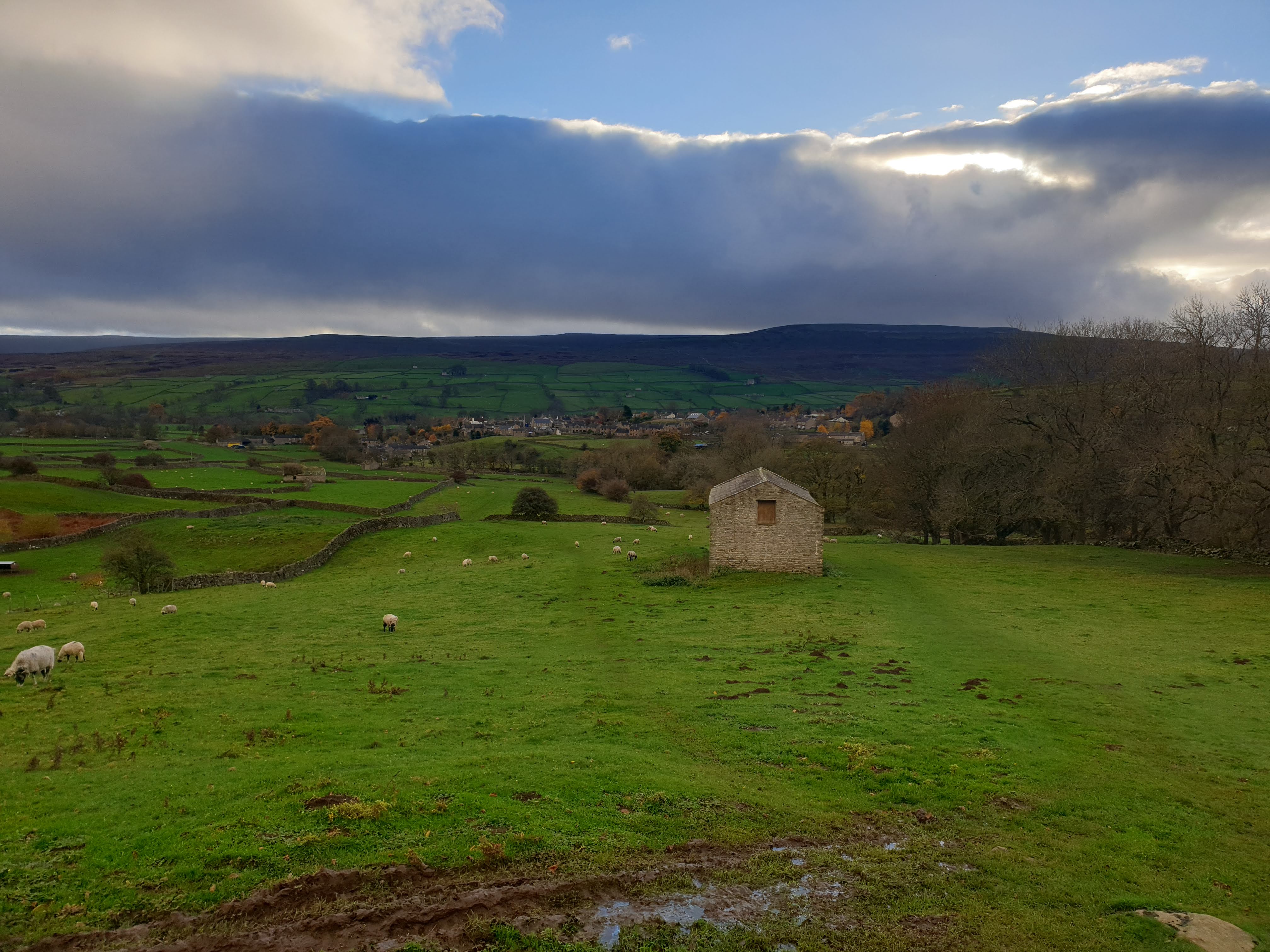
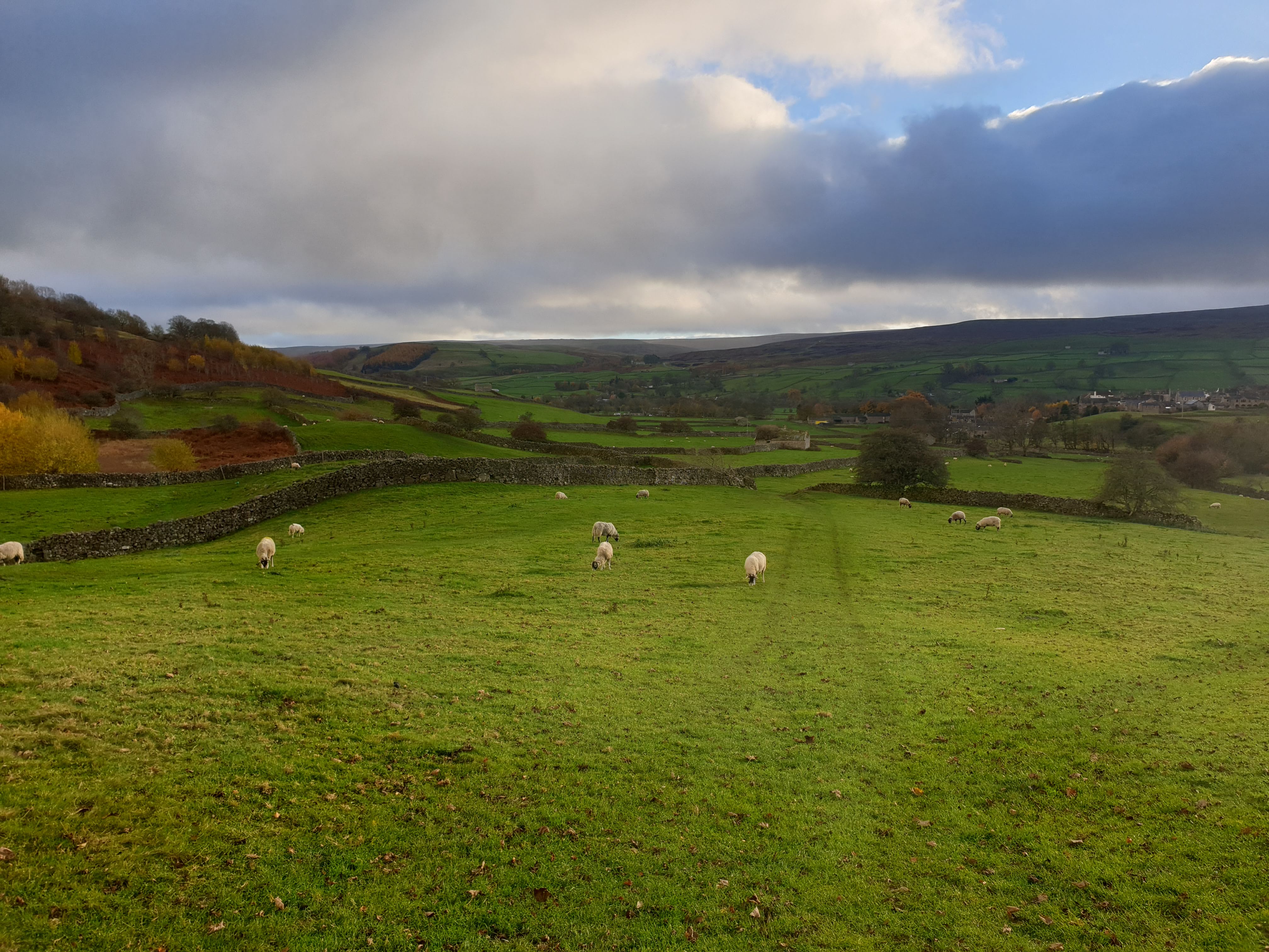
Another couple of views across the valley. Showing more clearly the woods at the bottom of the valley, which is part of the way back on the other side of the river.
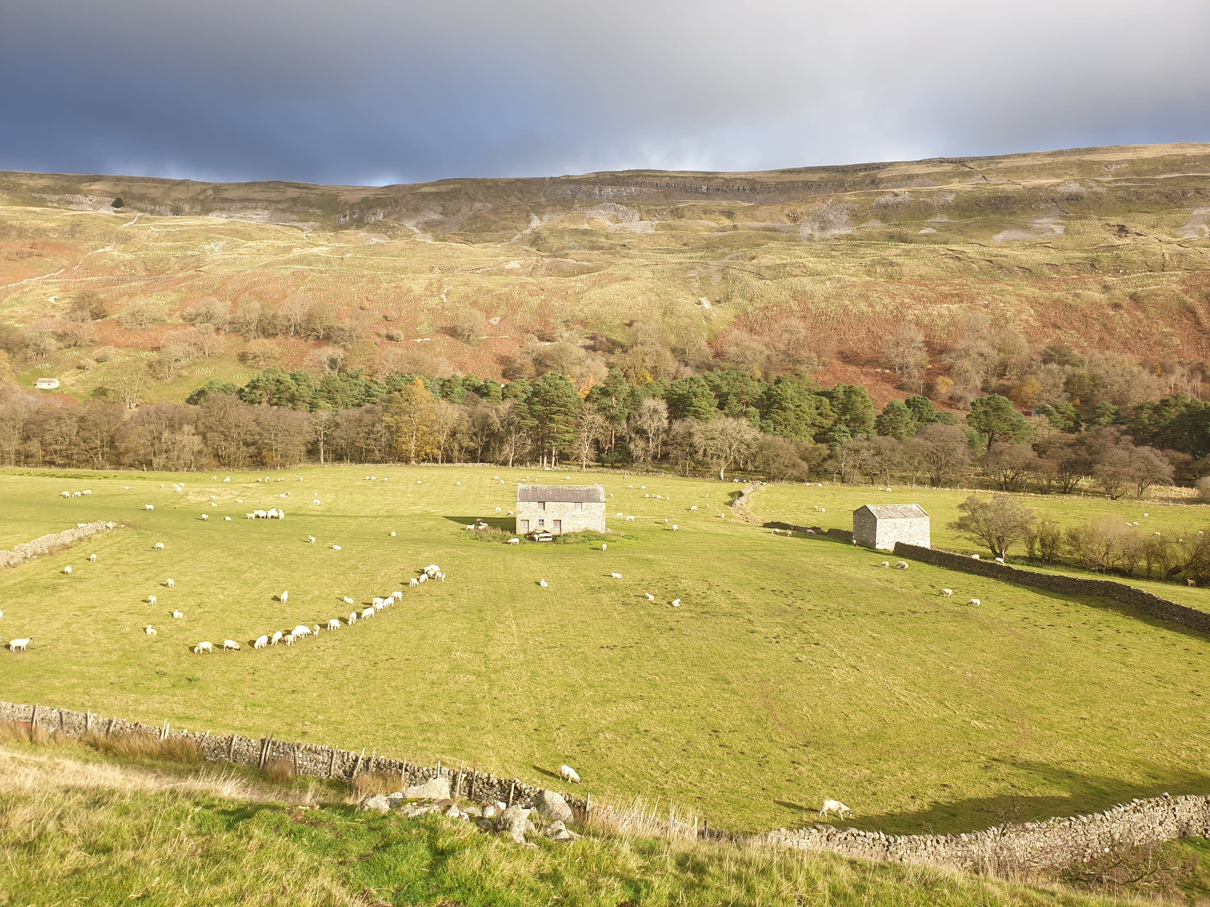
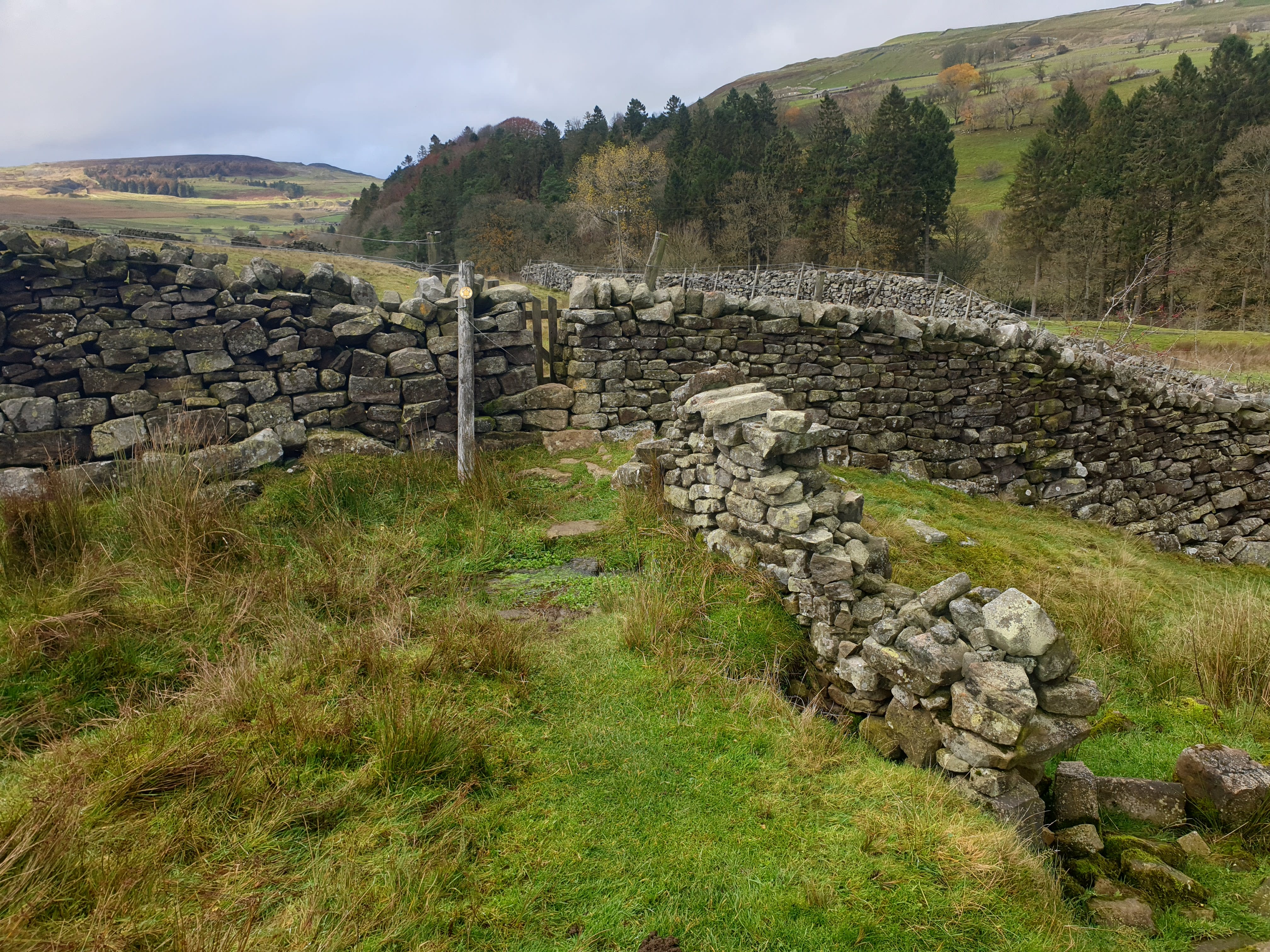
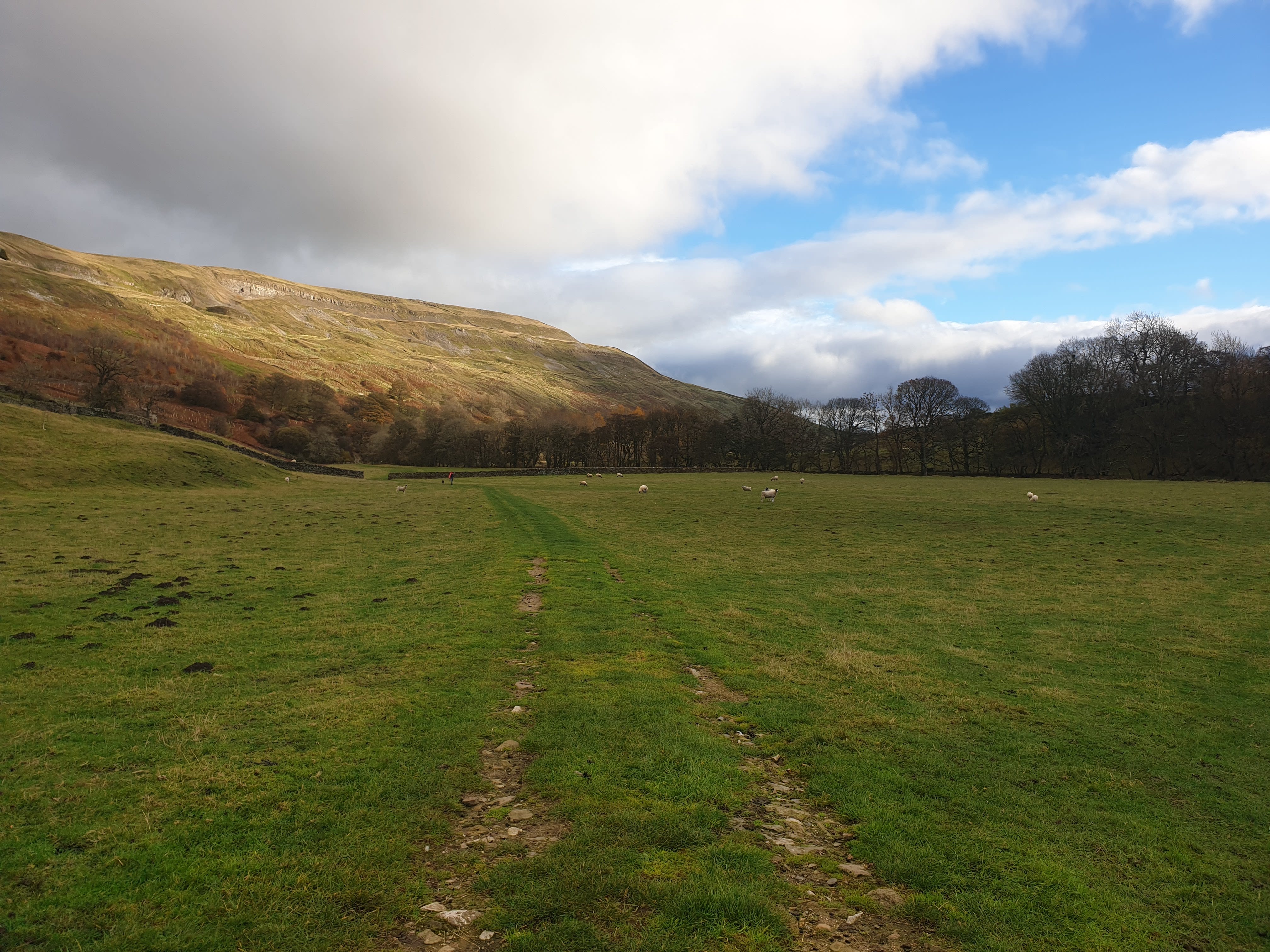
Continue to follow the nice grassy path north west, past East and West Raw Croft Farms, through quite a few fields.
The path in a couple of places wasn’t always nice and grassy.
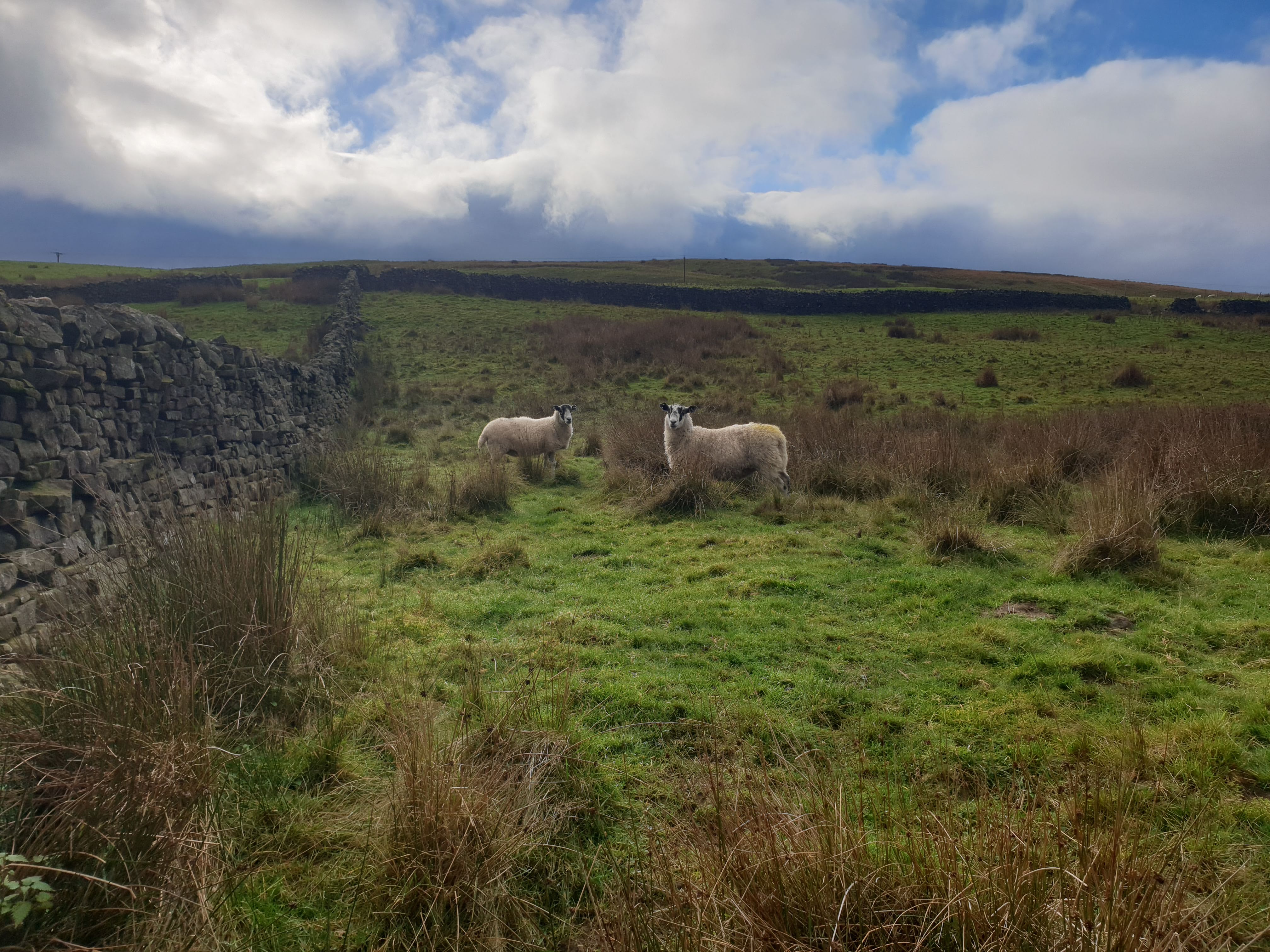
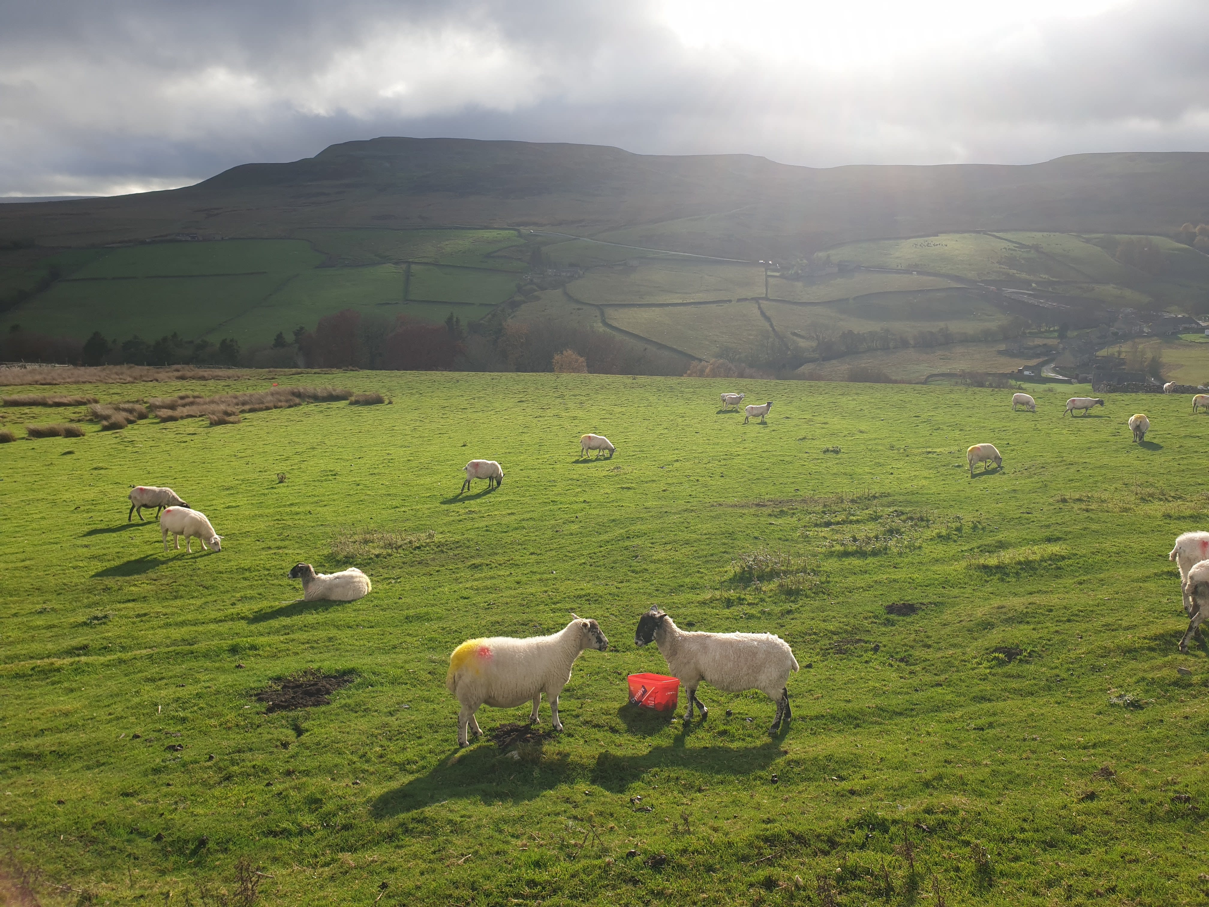
A couple of locals who maybe thought I was a bit mad hiking with all the dark clouds in the sky.
In most places the path, puddles and stiles were easy to navigate.
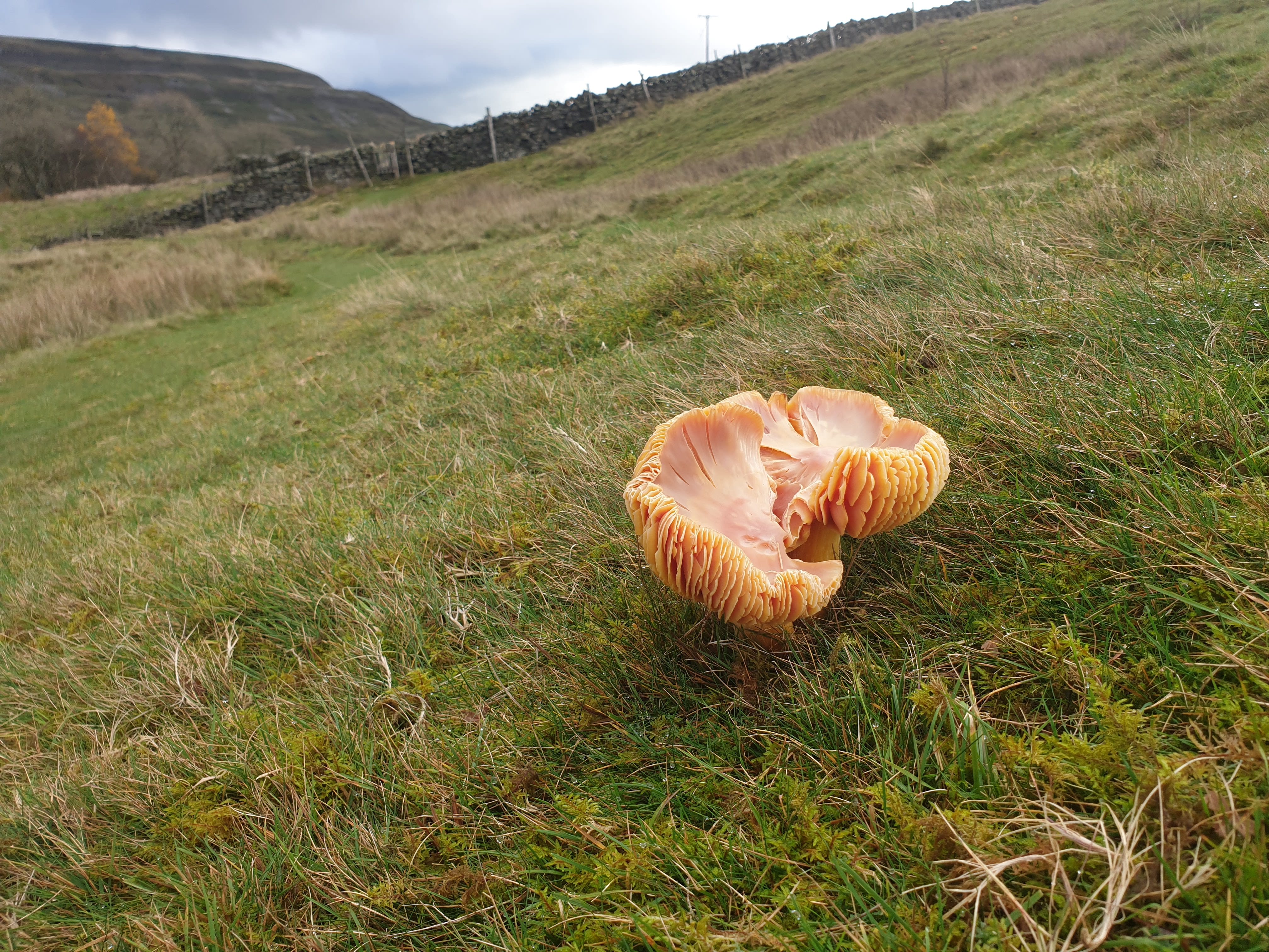
Insert Funghi/Fun Guy gag here 😁
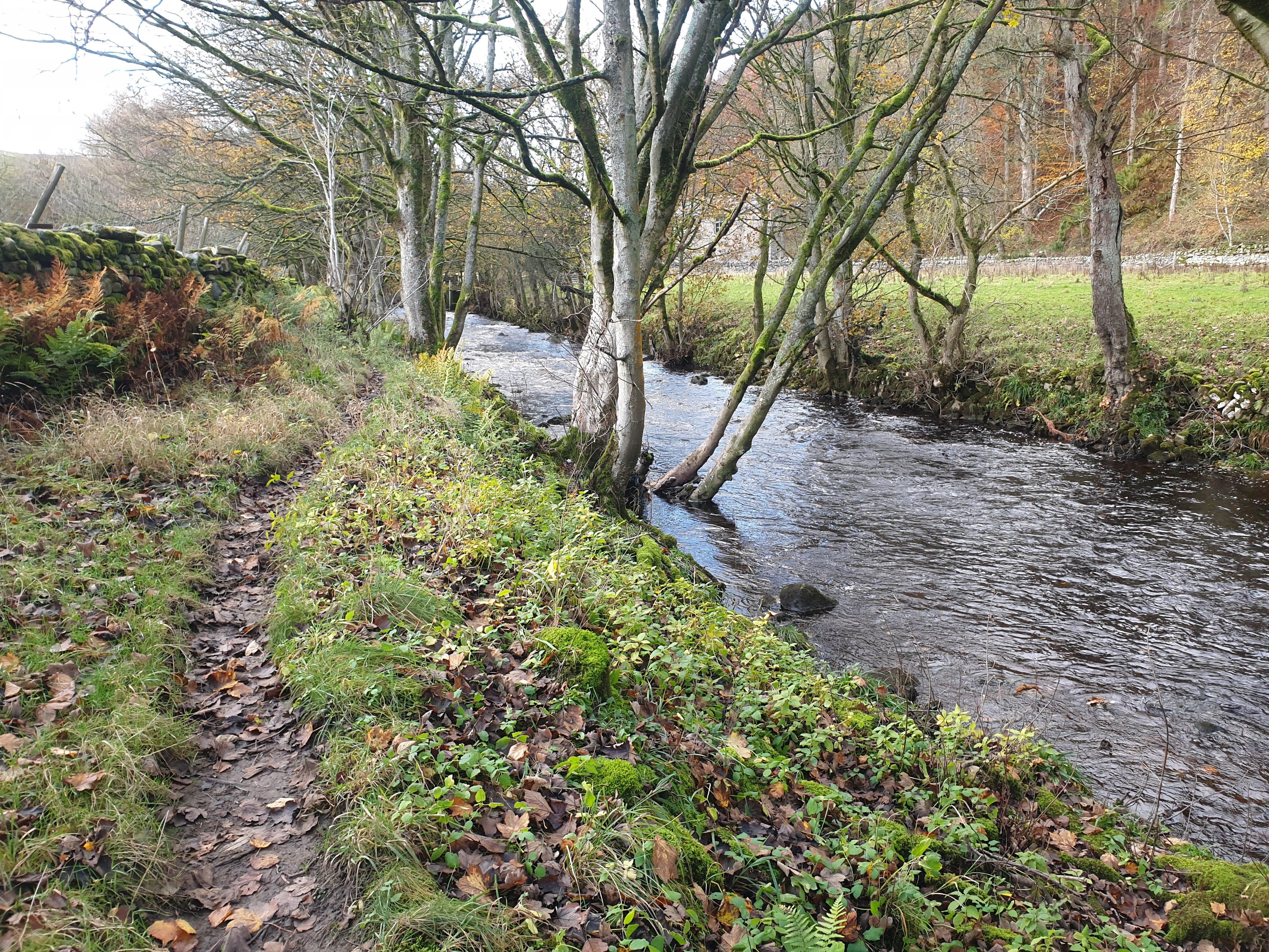
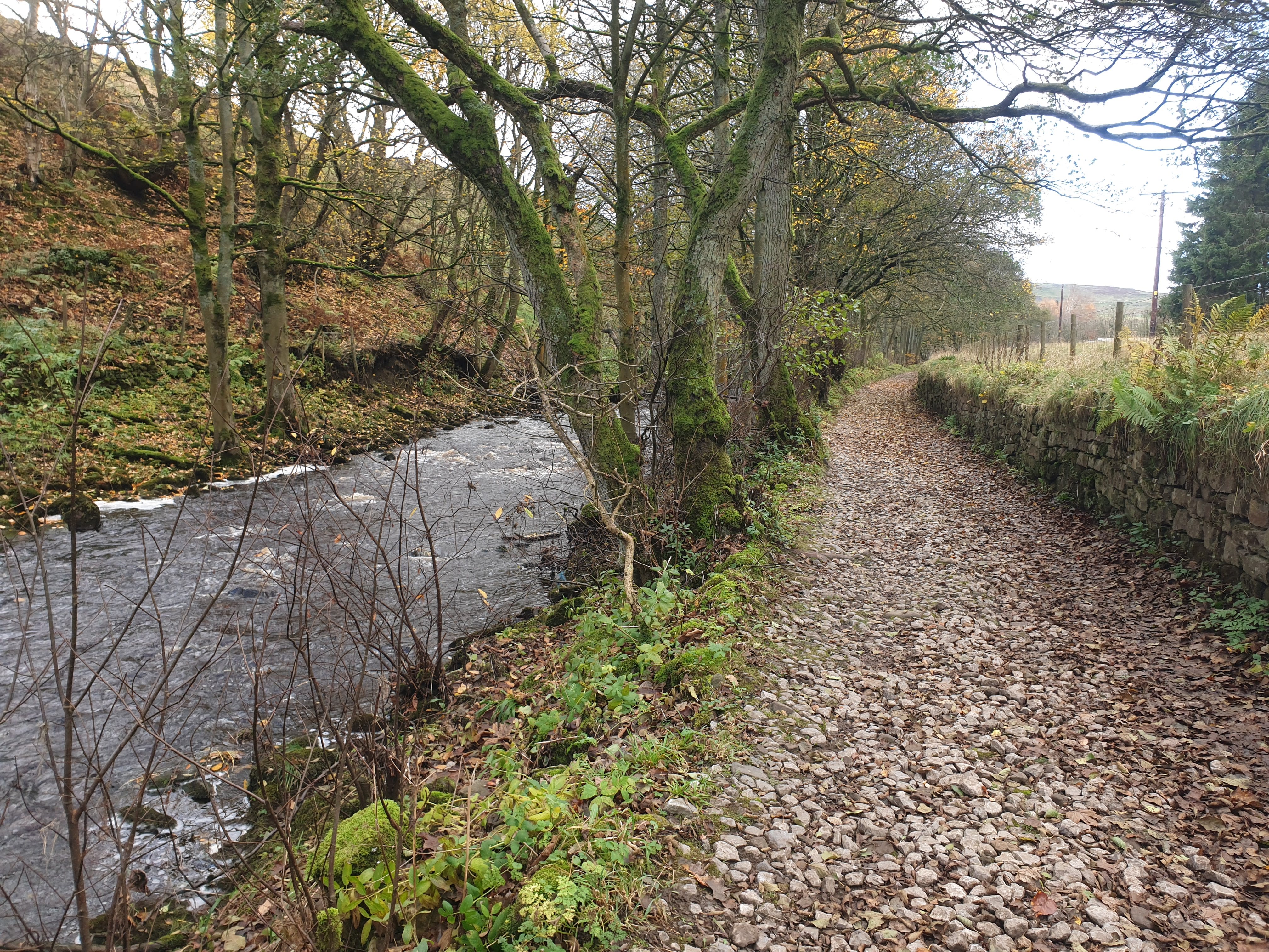
Continue to follow the path alongside the river bank heading west.
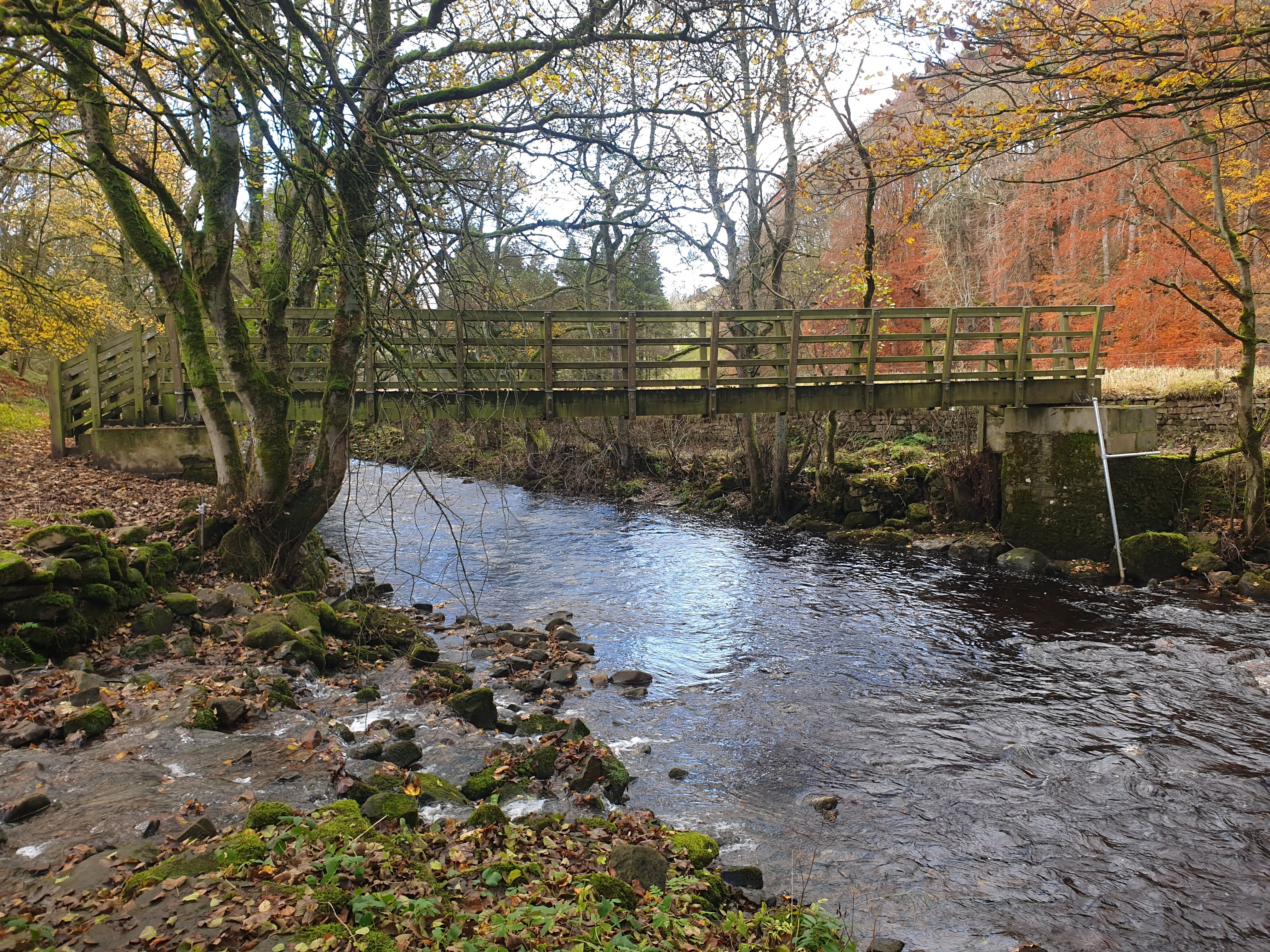
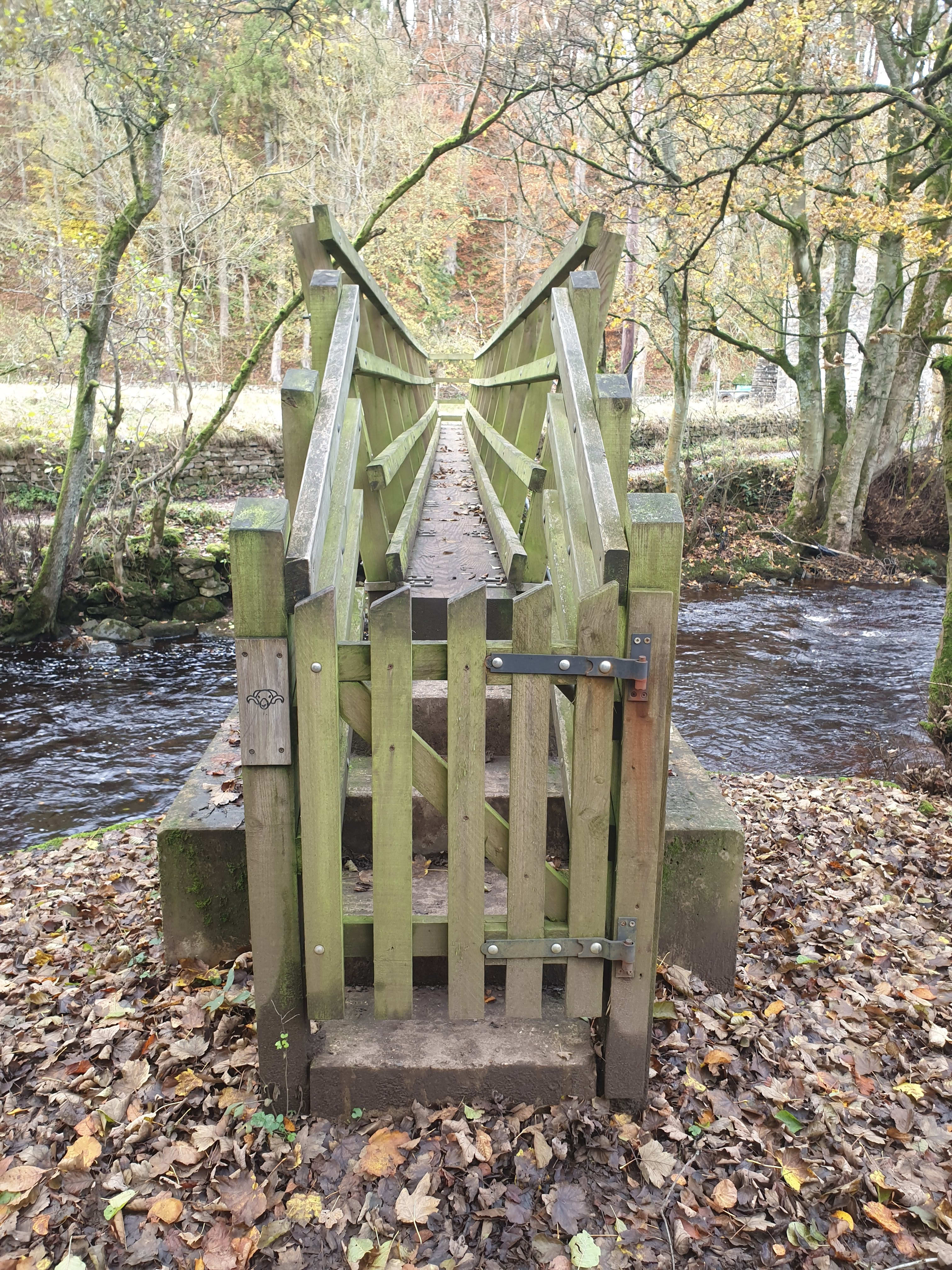
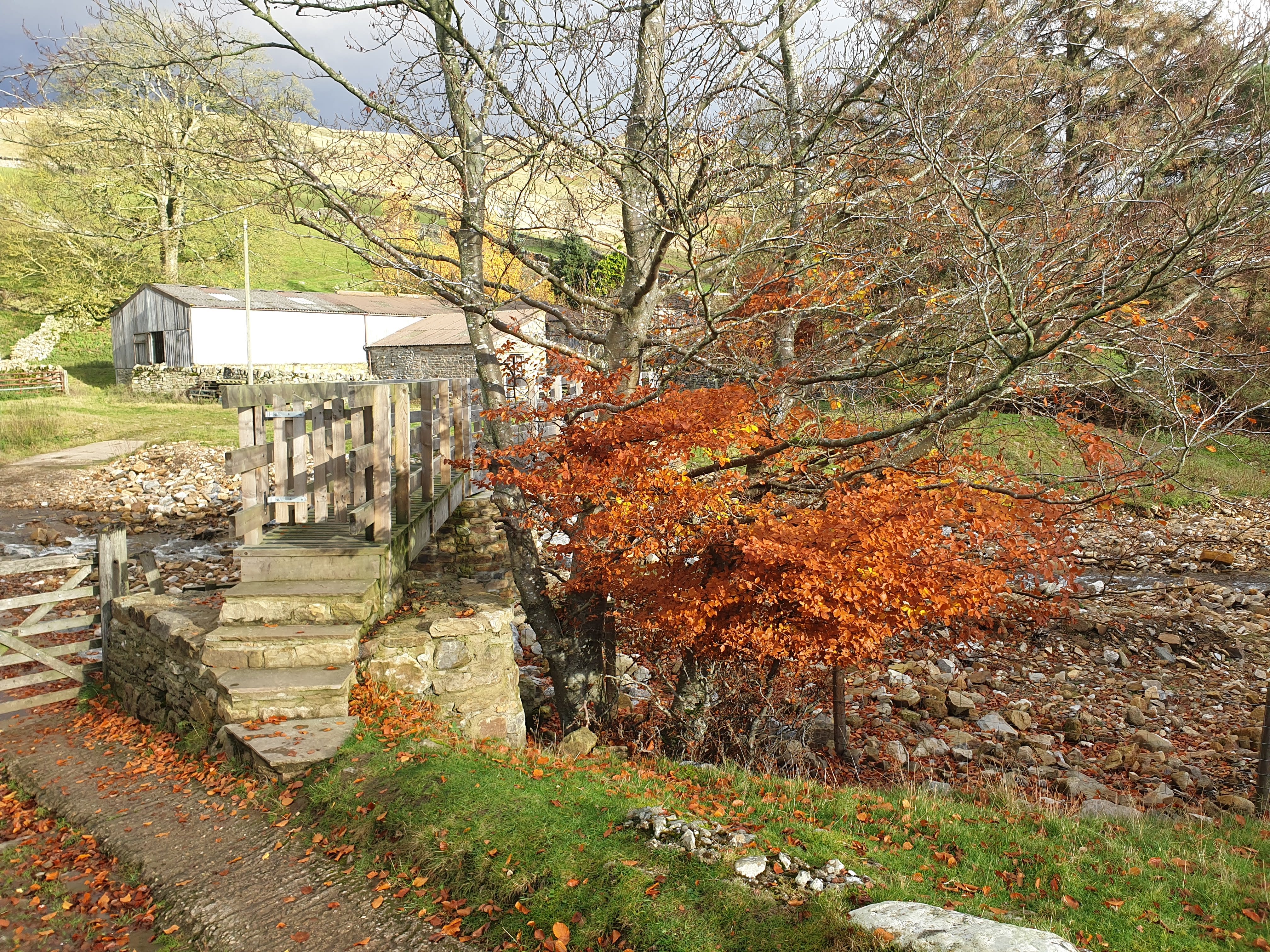
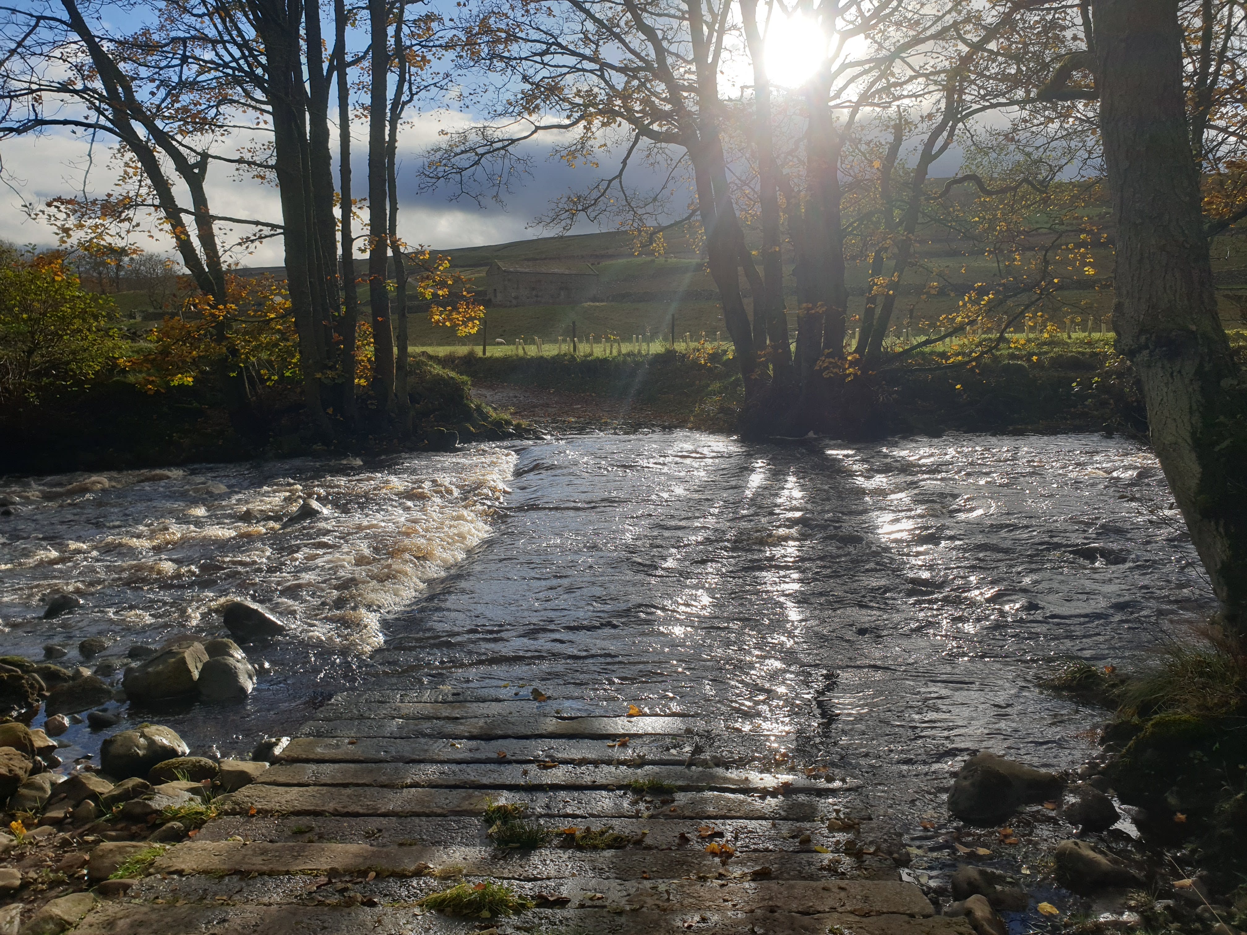
Following the riverside path for a short distance to this footbridge. Cross the river at this footbridge, note the slight ford on the left just before the bridge where a stream from Arkle Town meets the river.
On the other side of the river, turn left and continue to follow it north west to Langthwaite.
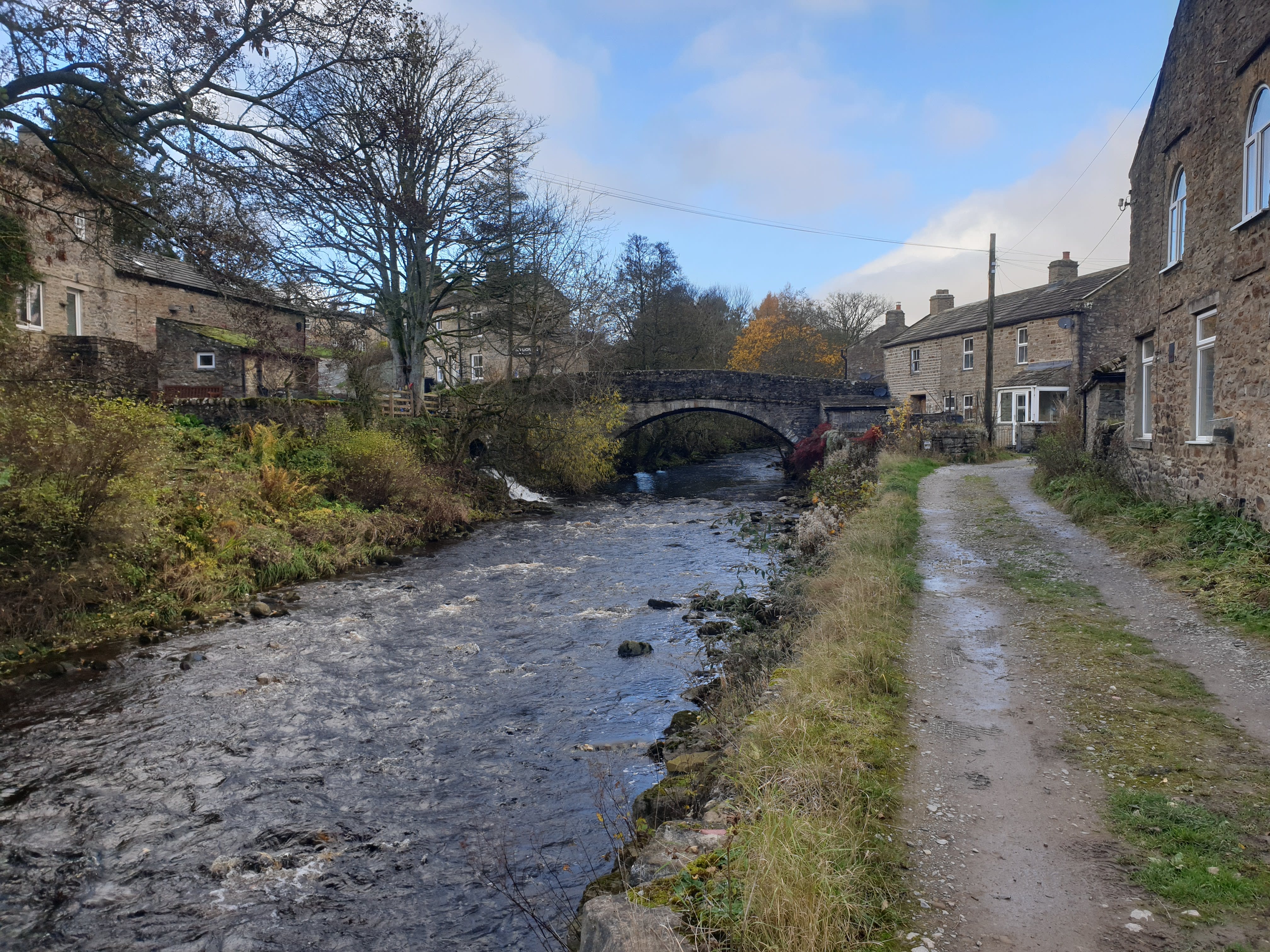
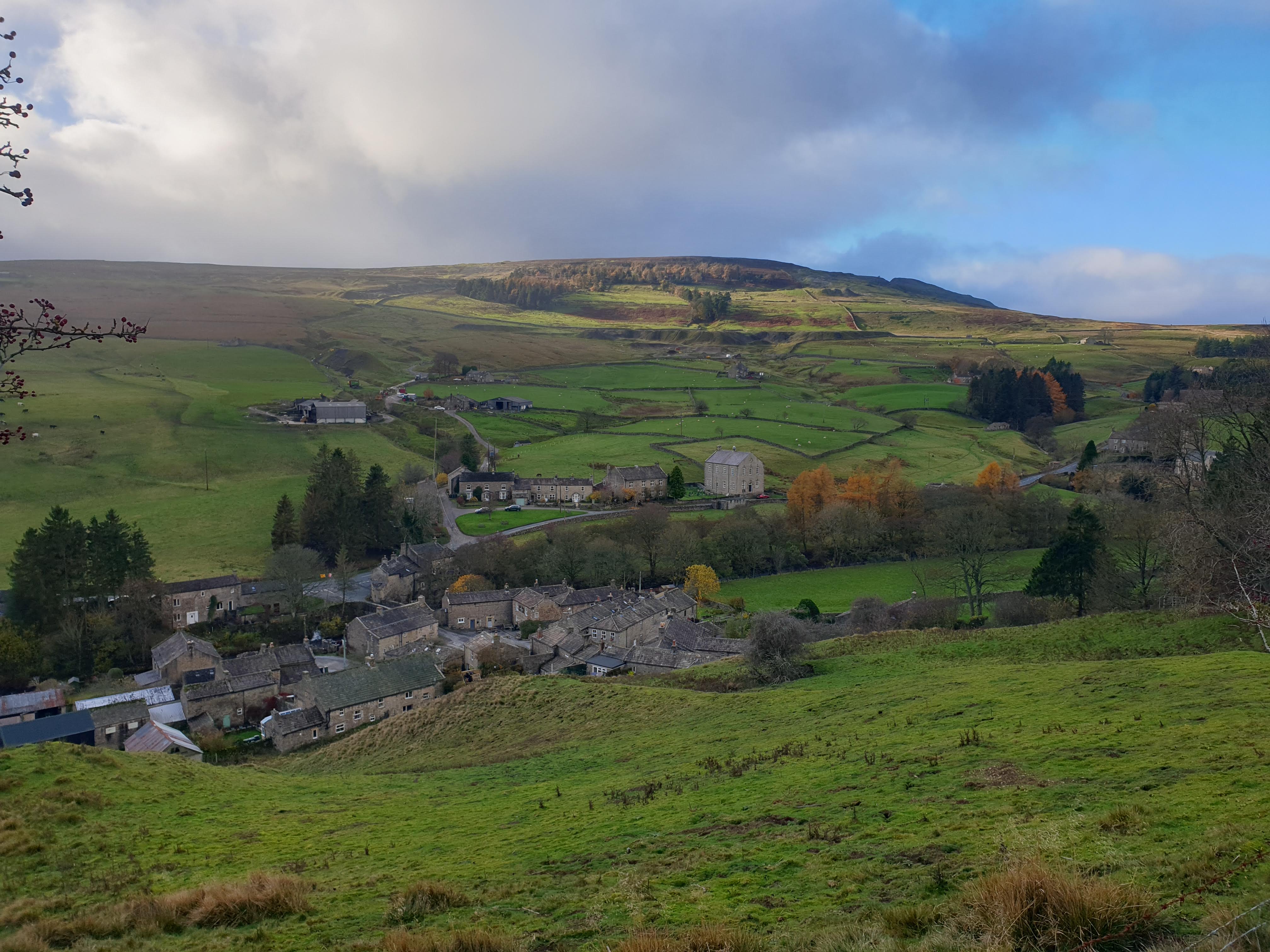
As the path gets to Langthwaite, turn right at this stone bridge and head north east through the street up through the village. It is at this point that we hit the halfway point, the rest of the route is heading back along the other side of the valley to Reeth.
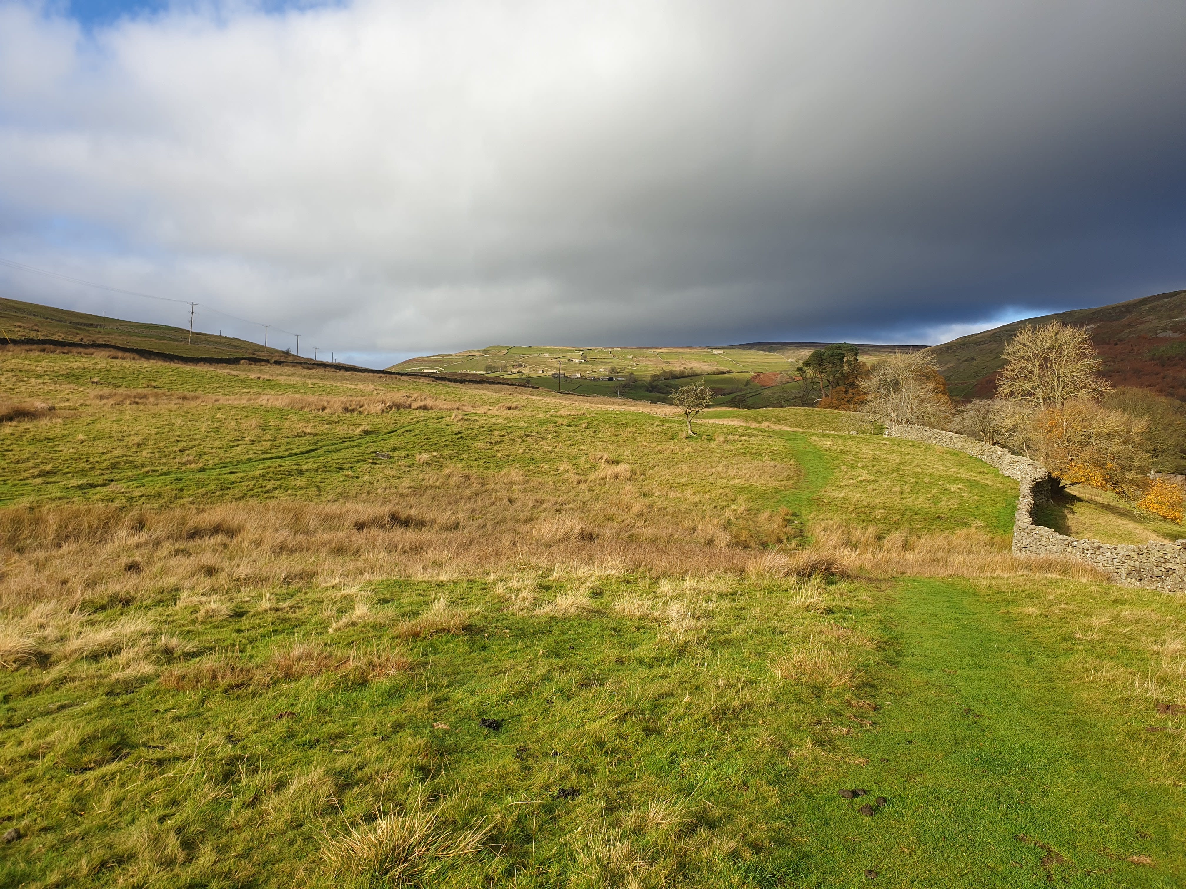
Leaving the village the country road gets a little steep, keep following the road uphill for some lovely views back across the valley.
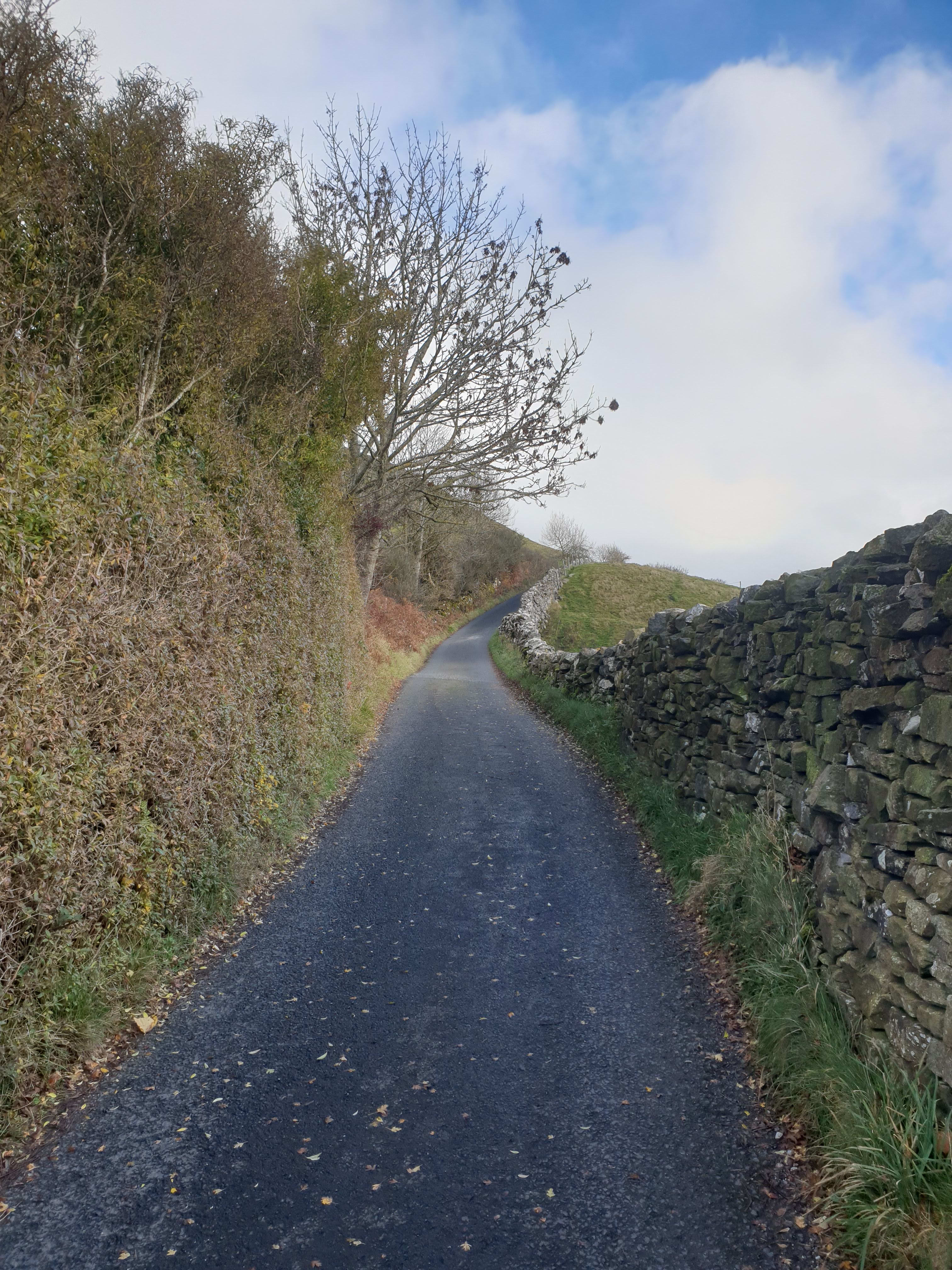
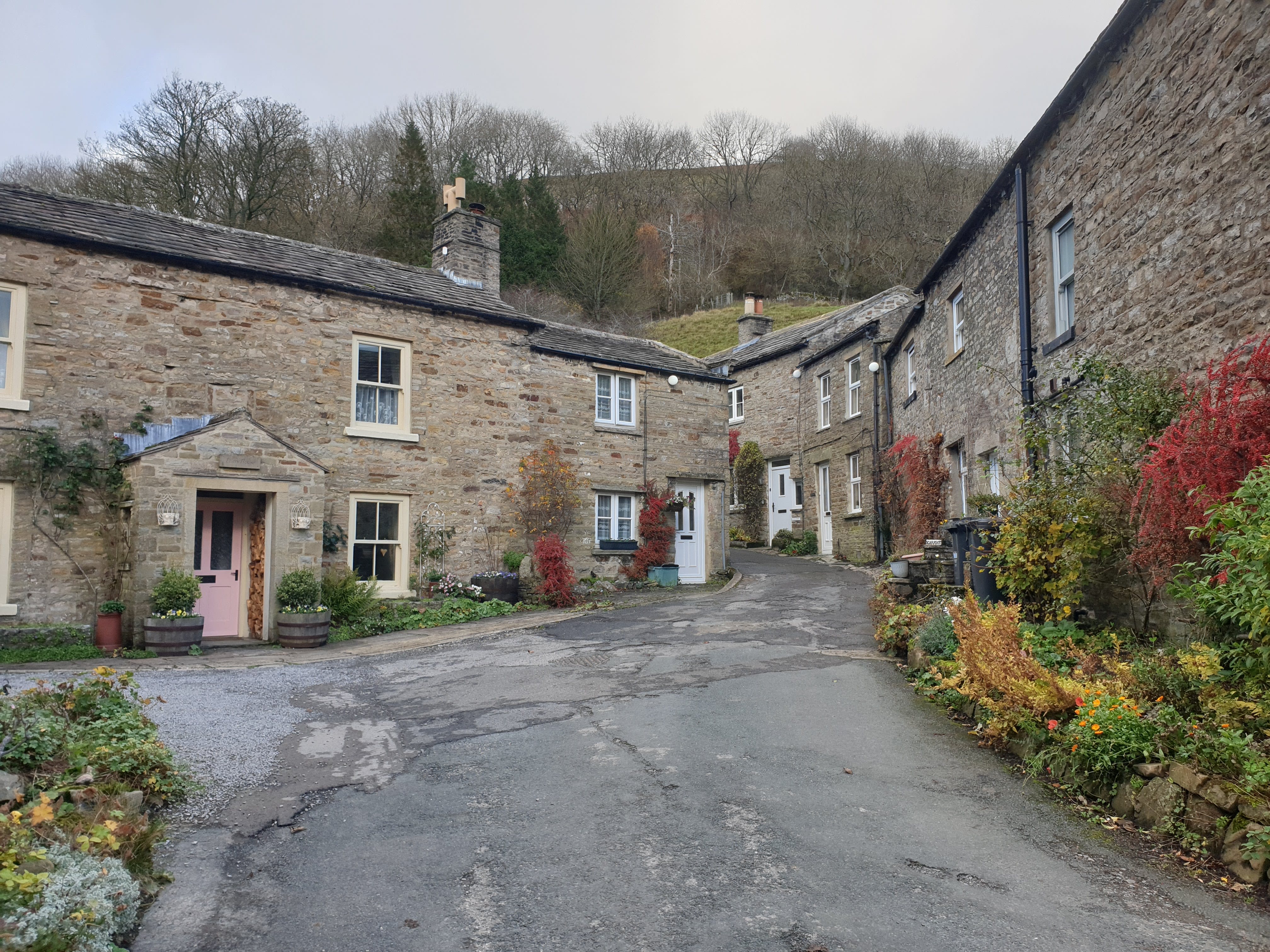
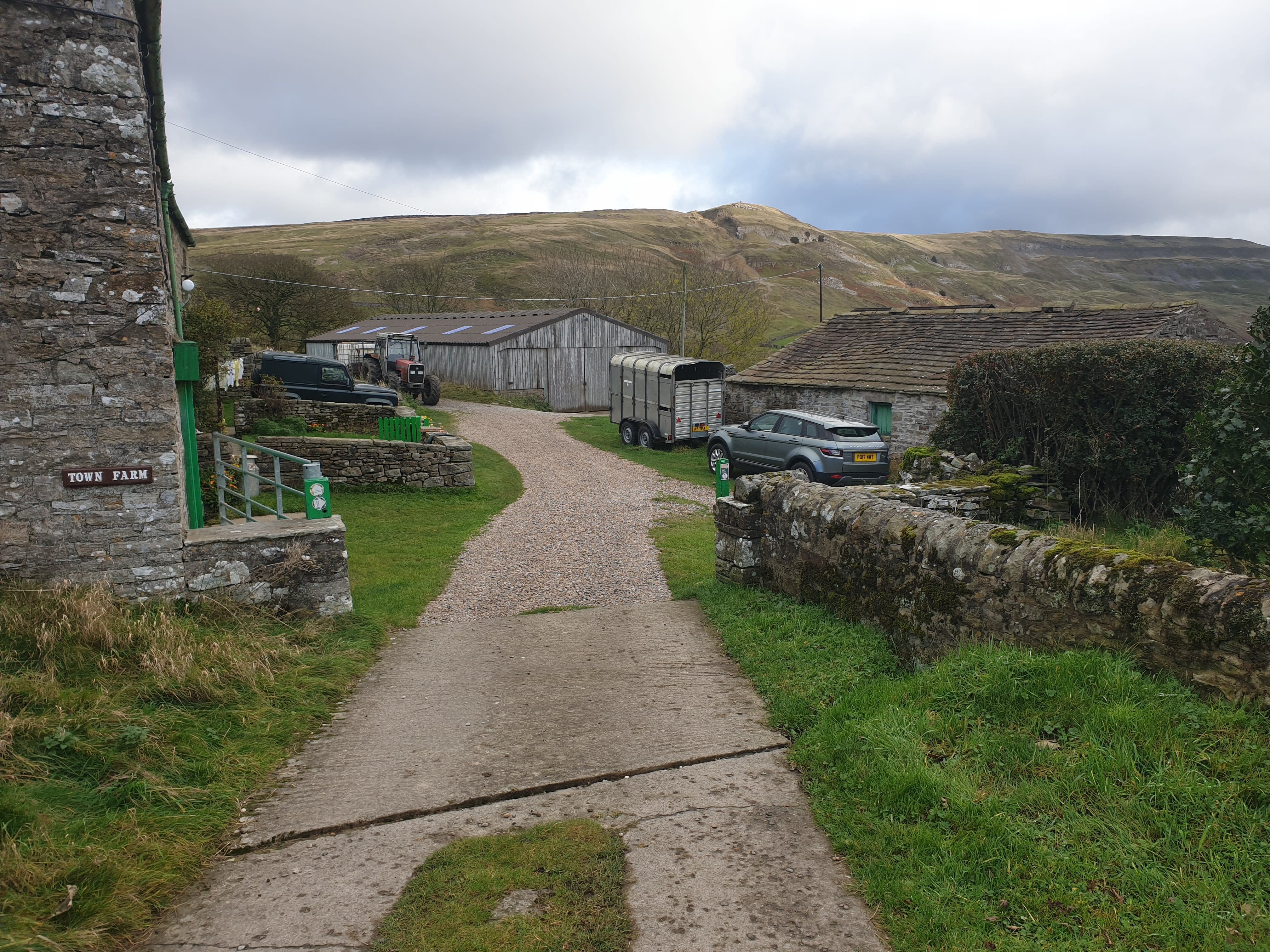
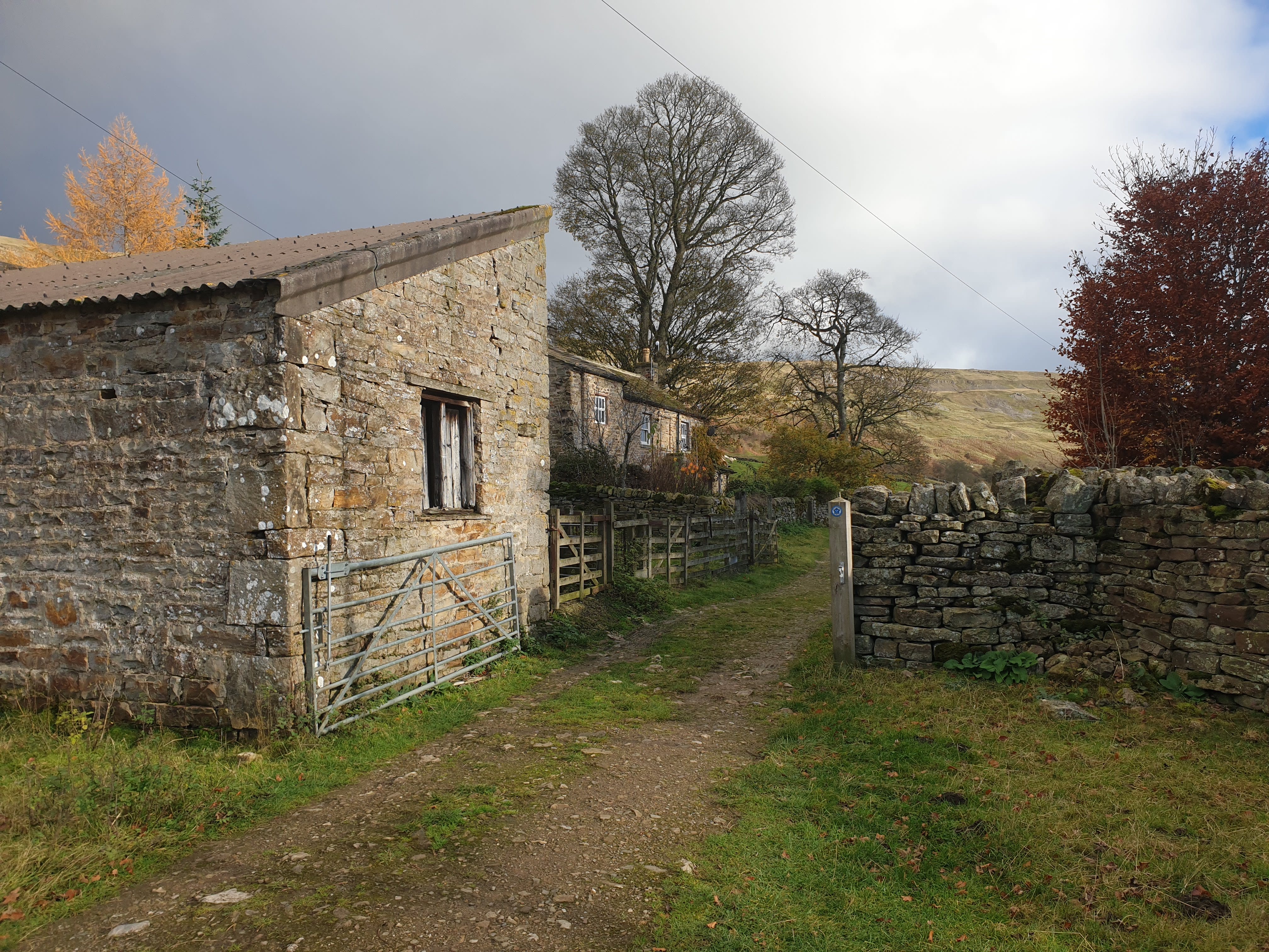
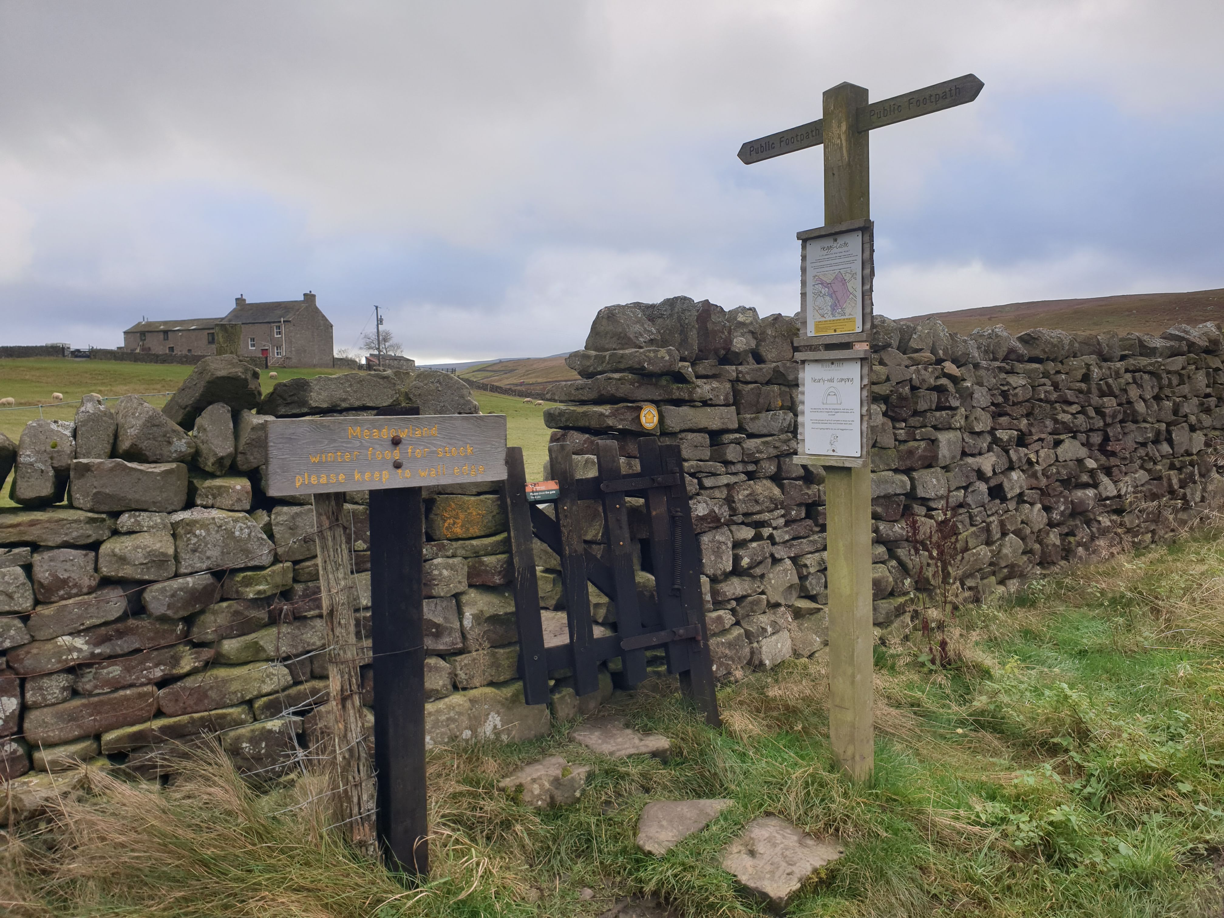
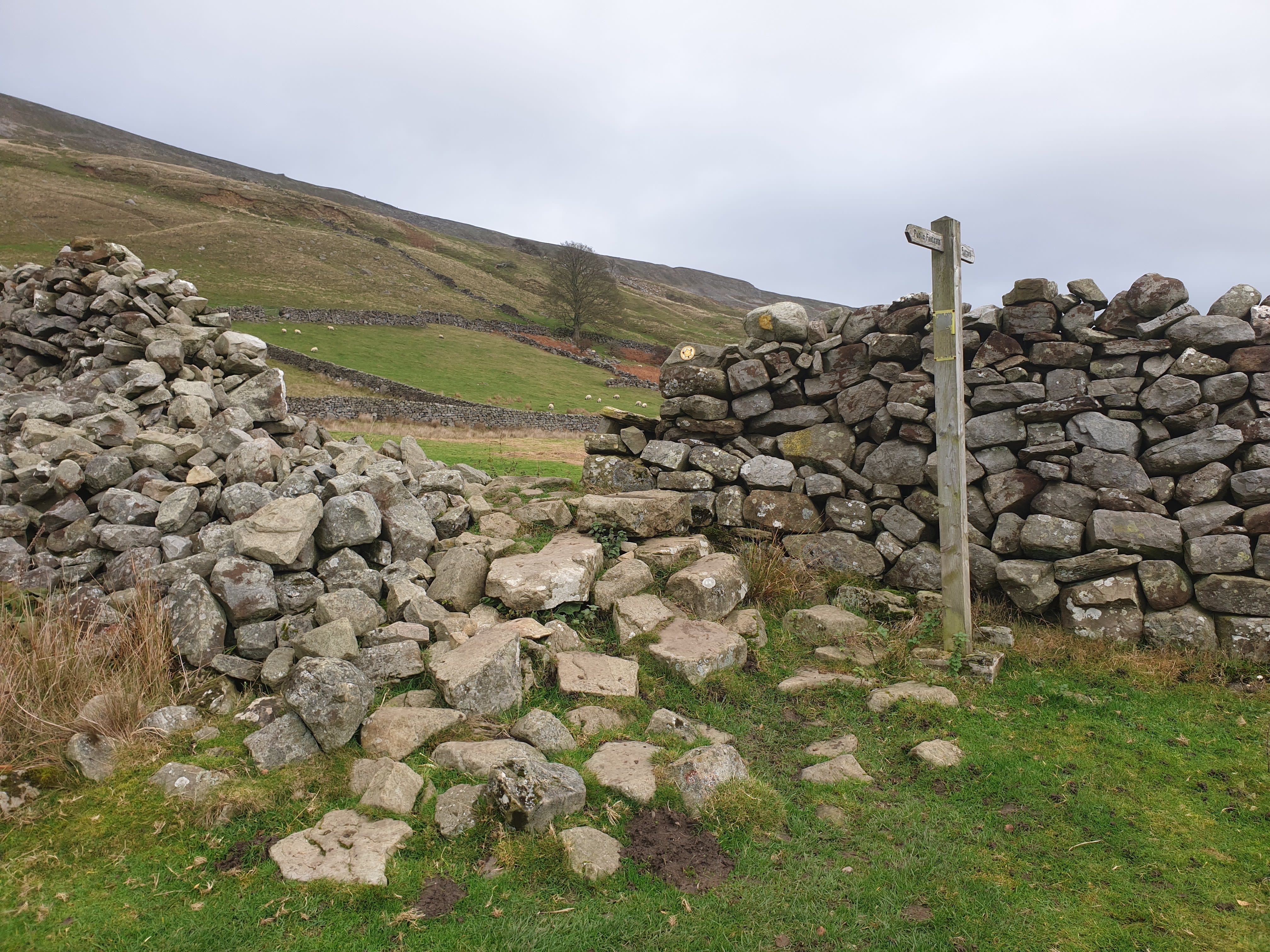
Keep following the road, which then turns into a track as you approach the village of Booze. Sadly there is no sign saying Booze and the village is just a few cottages before you get to a farm. Here, on the gate posts at the entrance to Town Farm are the footpath signs showing the turn to the right.
Follow the path right for more grassy fields, heading south and downhill back to the river and Storthwaite Hall.
Perfect timing and location for a rainbow photo.
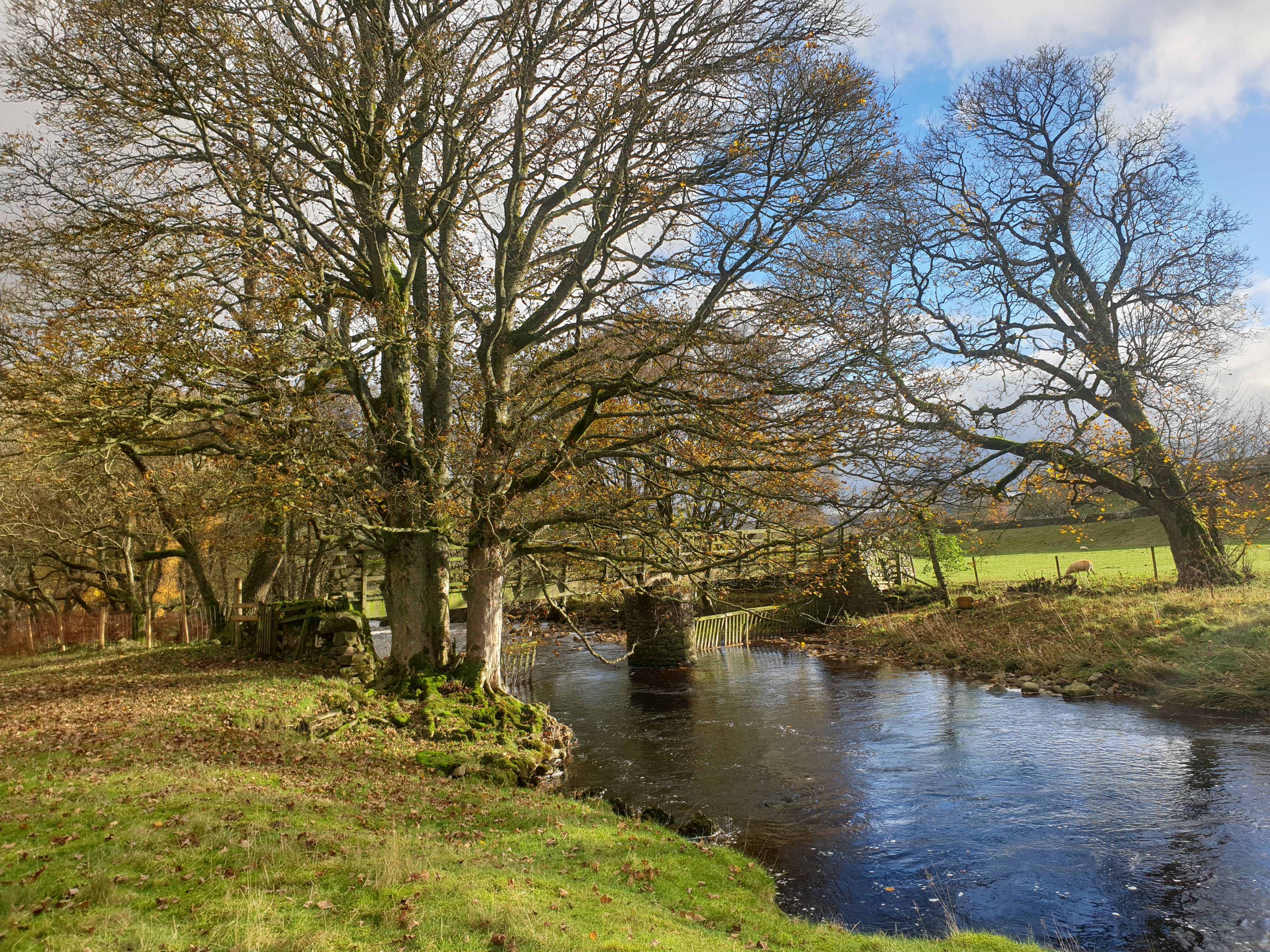
Keep heading downhill, following the grassy path to a footbridge by the ford at Storthwaite Hall.
After crossing the footbridge, the route follows a track in front of Storthwaite Hall and back through a few more grassy fields.
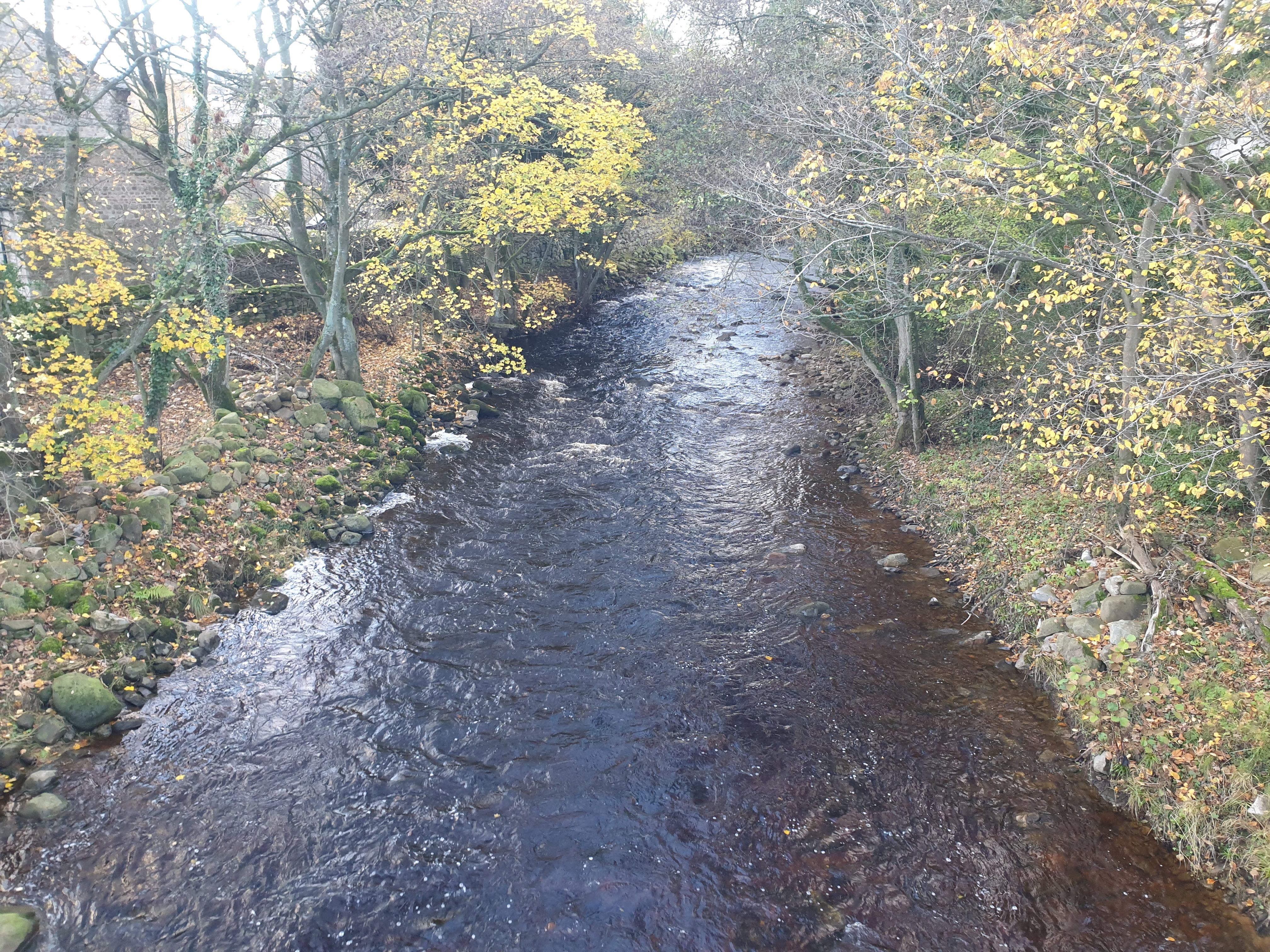
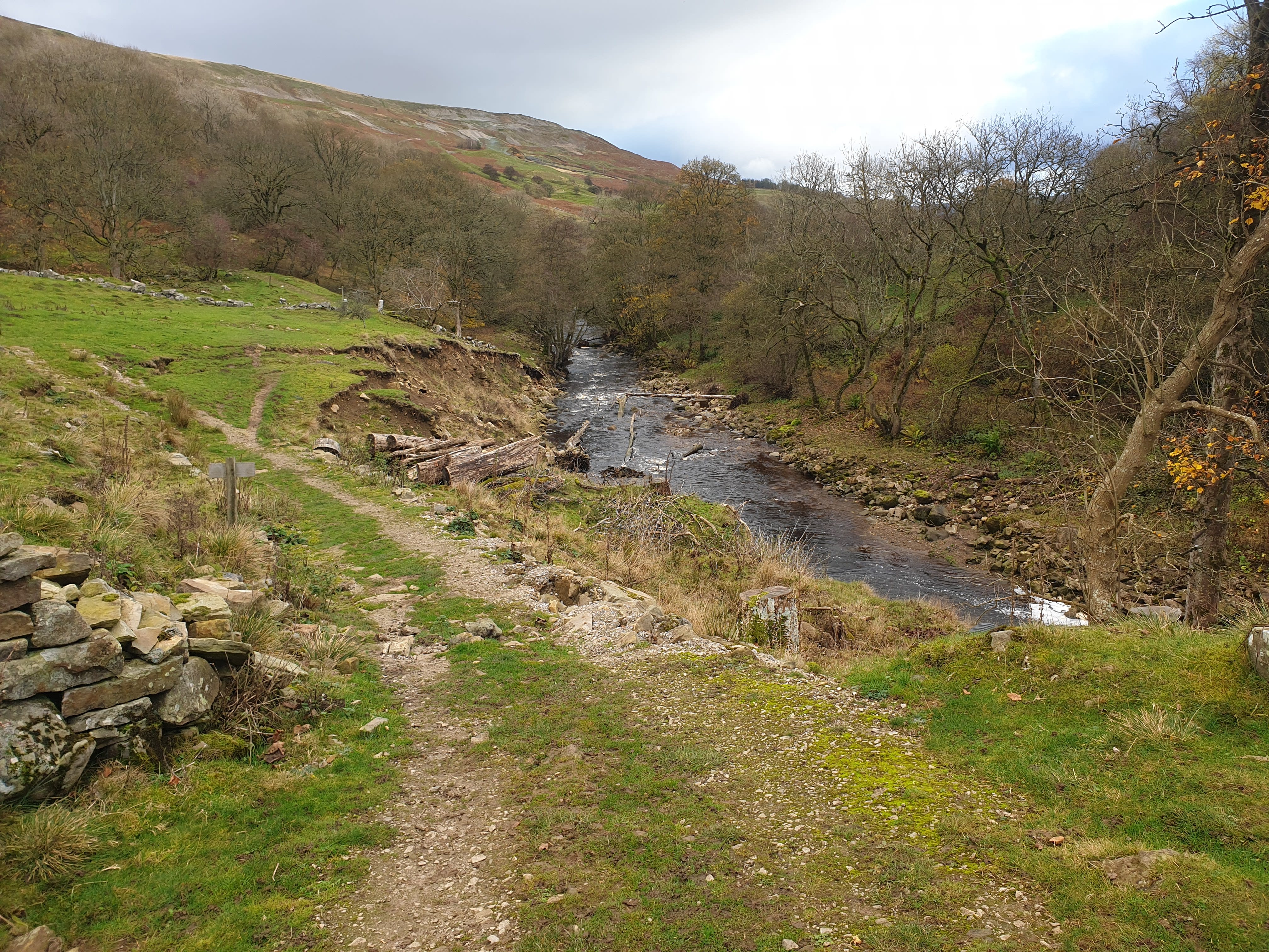
The path then meets the river by this footbridge and ford do not cross, stay on the north side of the river.
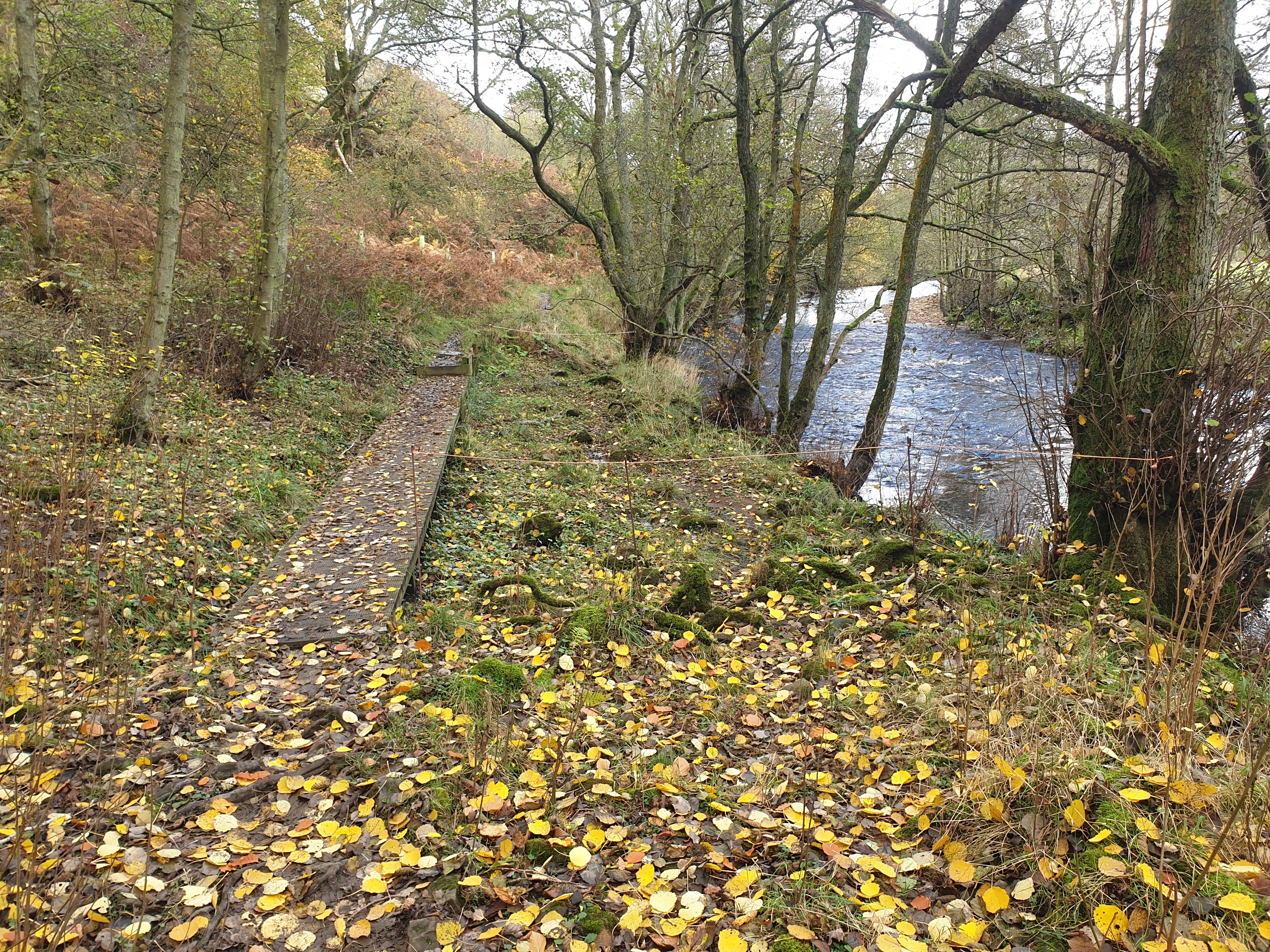
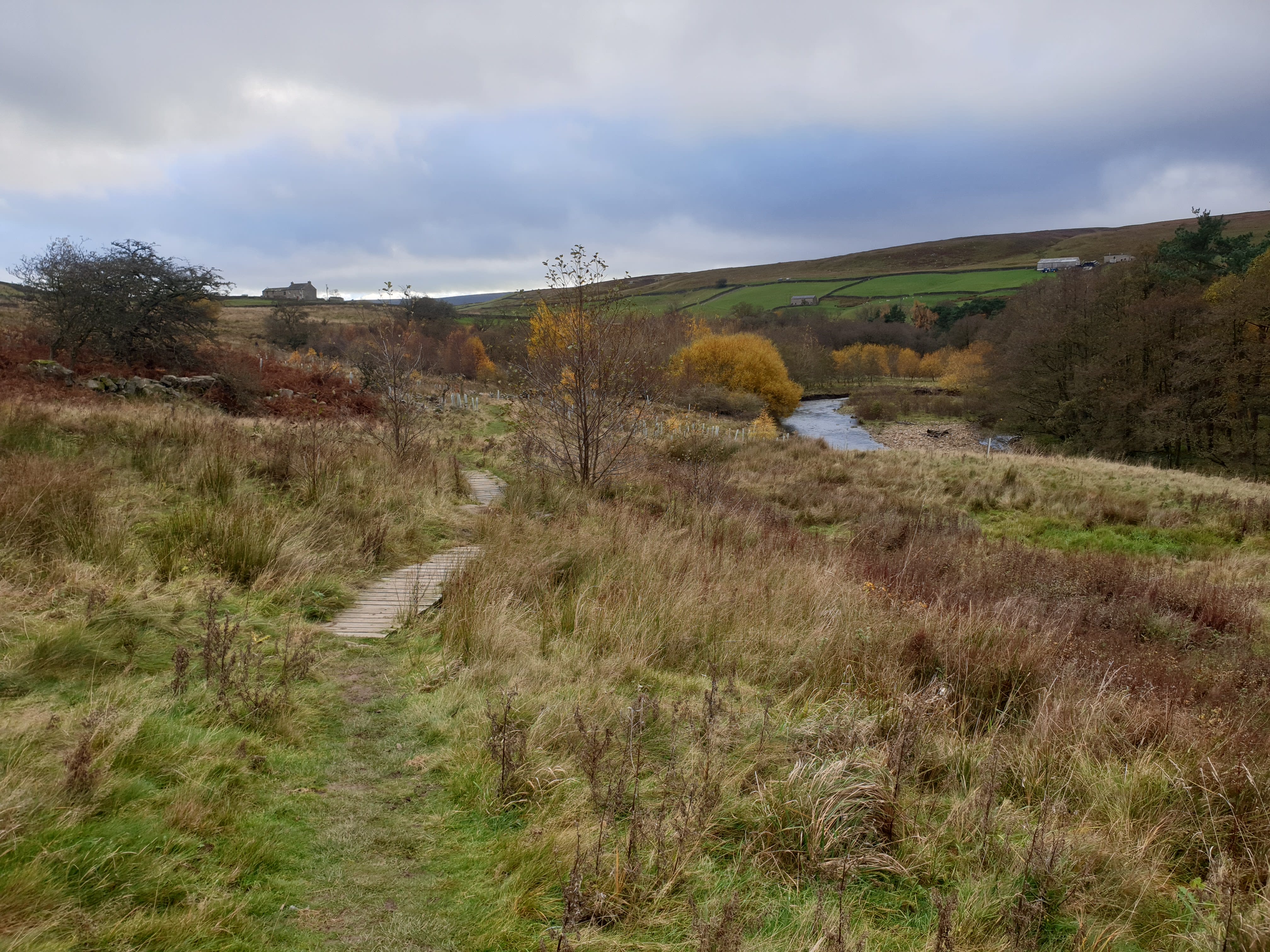
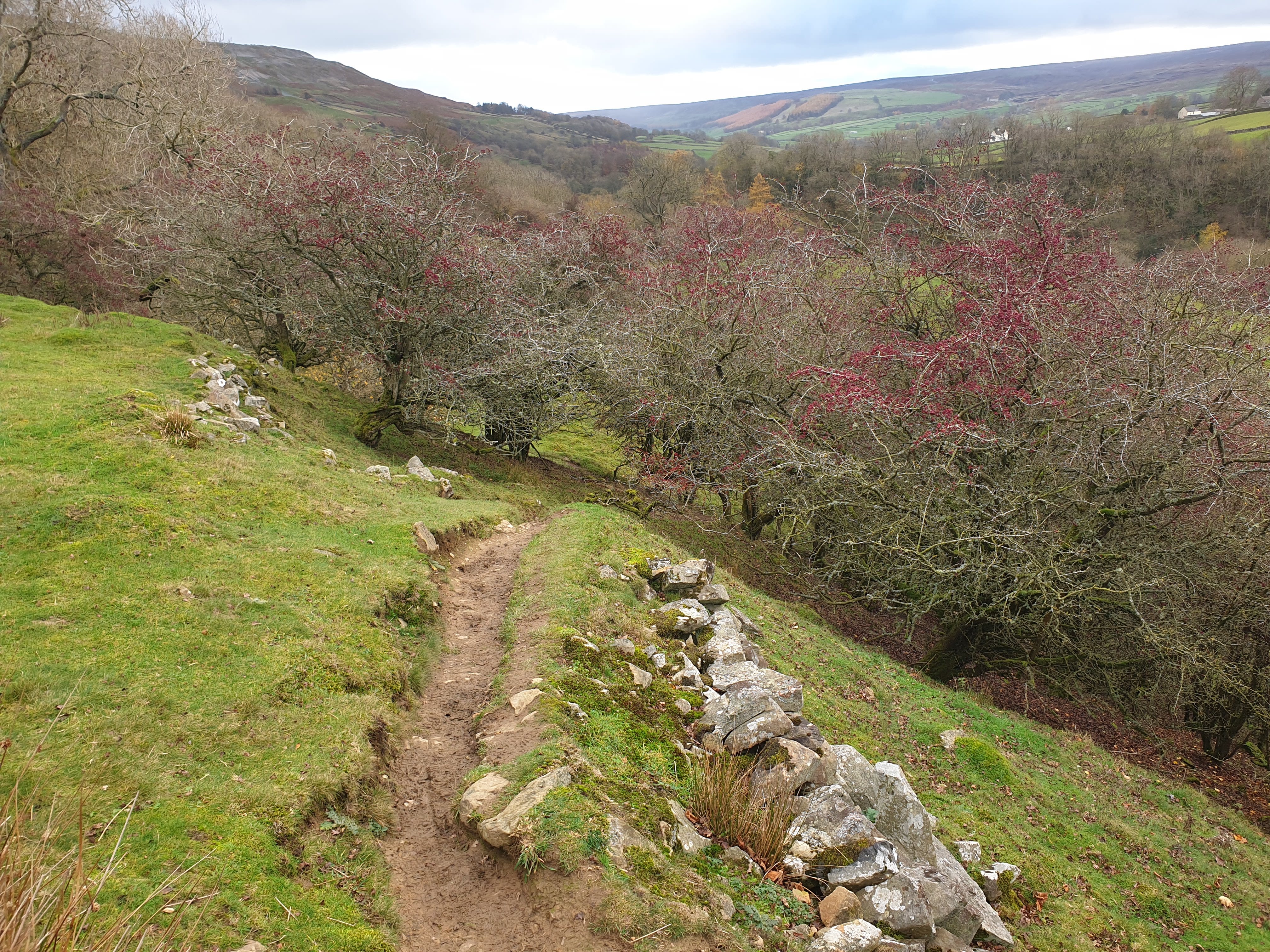
The path follows the river south east, through woods and fields and due to the proximity with water there are a few wooden boardwalks where the path gets marshy.
Leaving the river bank at Thorn Dale, the route then heads through a few grassy fields and past Castle Farm House.
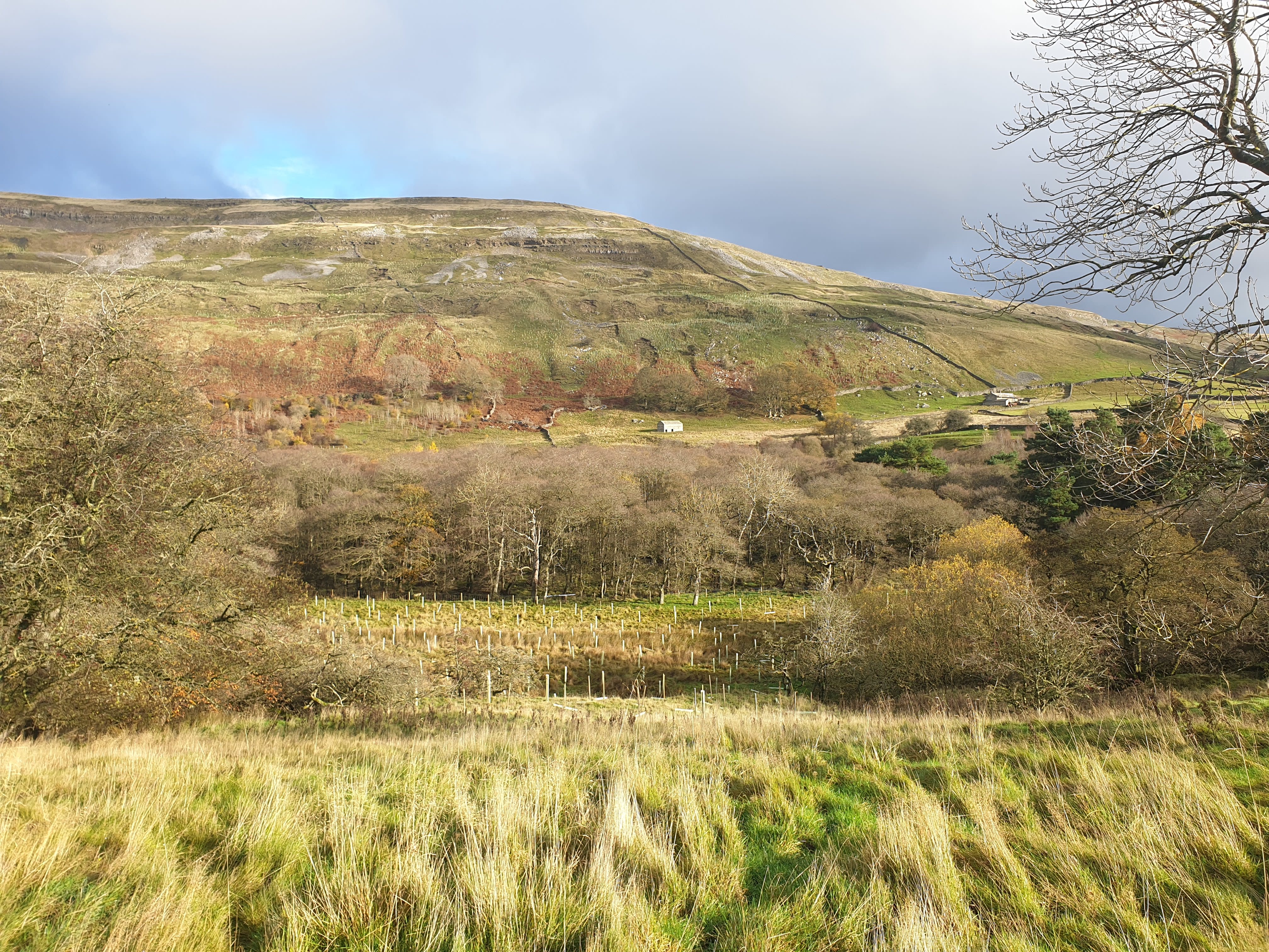
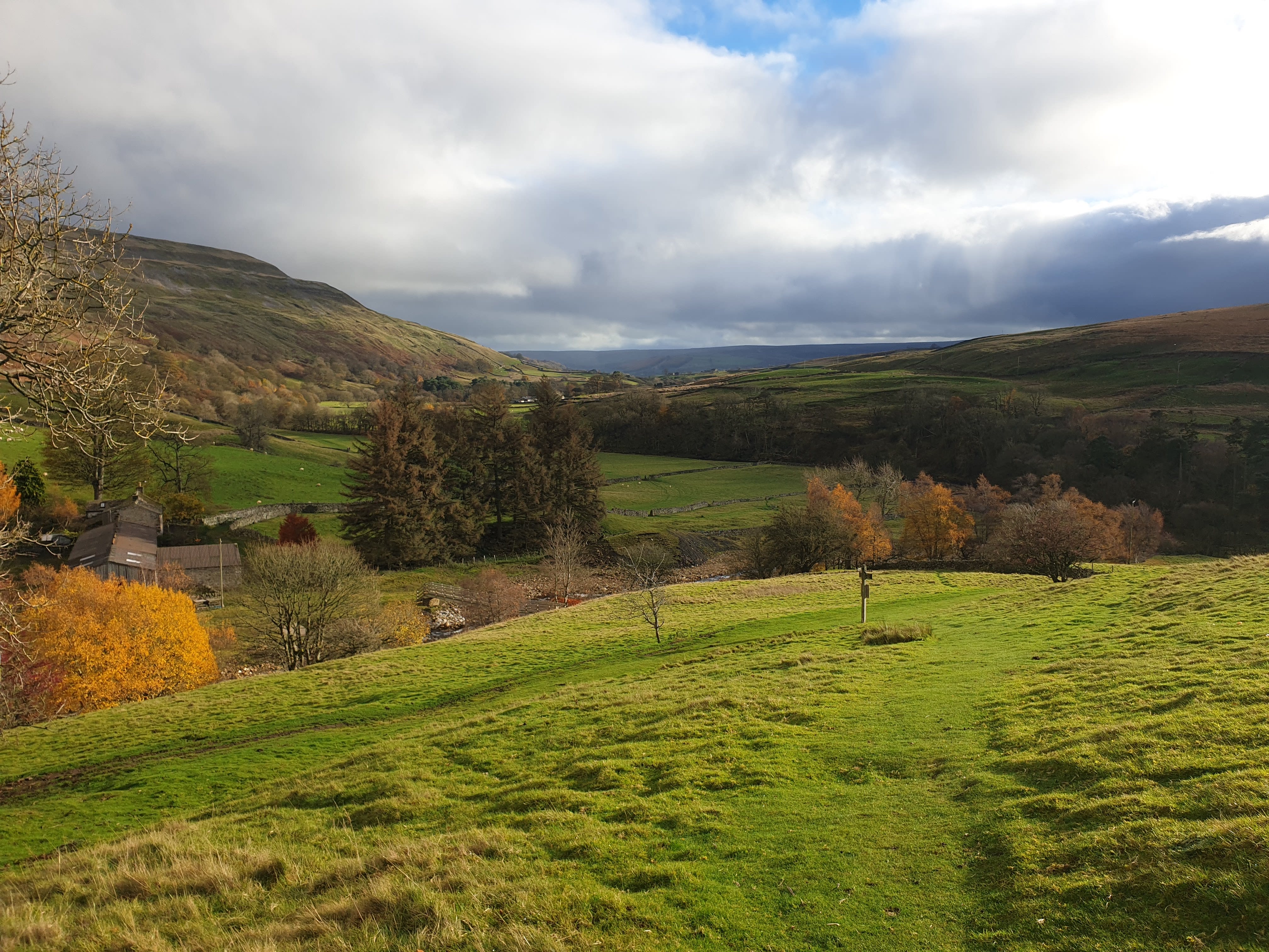
Looking back down along the valley to Booze and Langthwaite.
From Castle Farm House head through this “stile”? , downhill, back to the river.
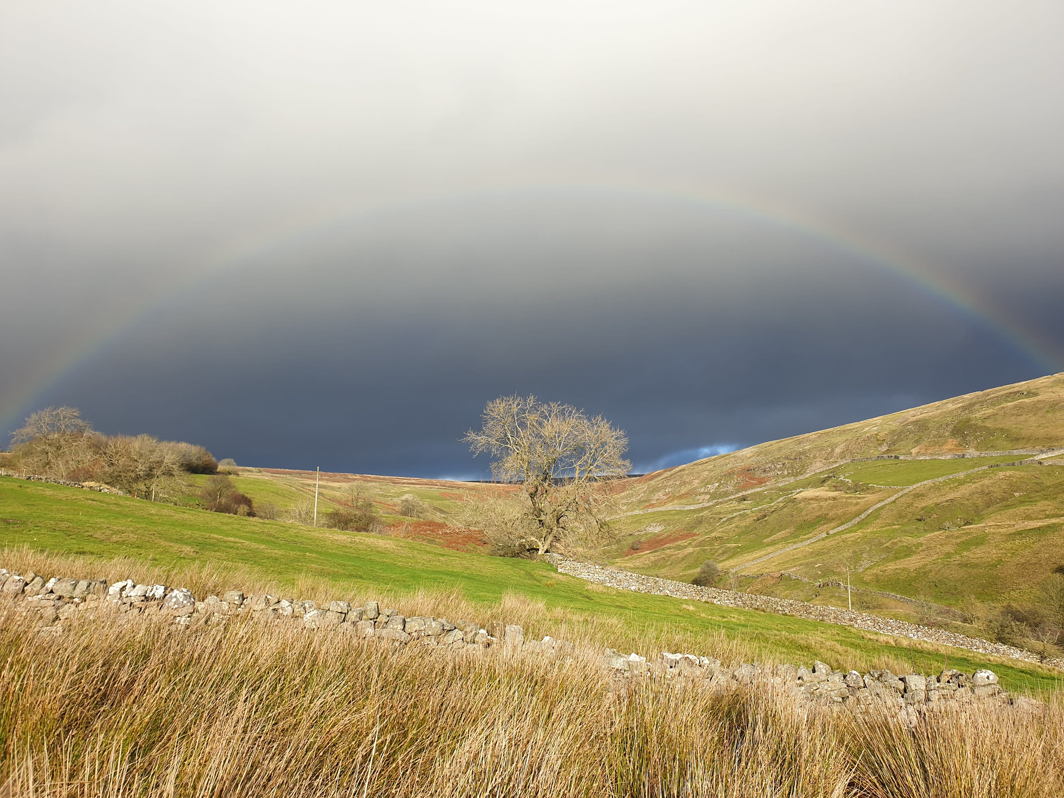
Follow the river through some woods for a while. Time for one last rainbow as the easterly route then heads south back towards Reeth.
Reeth appears through the trees as the path heads downhill through a few more grassy fields.
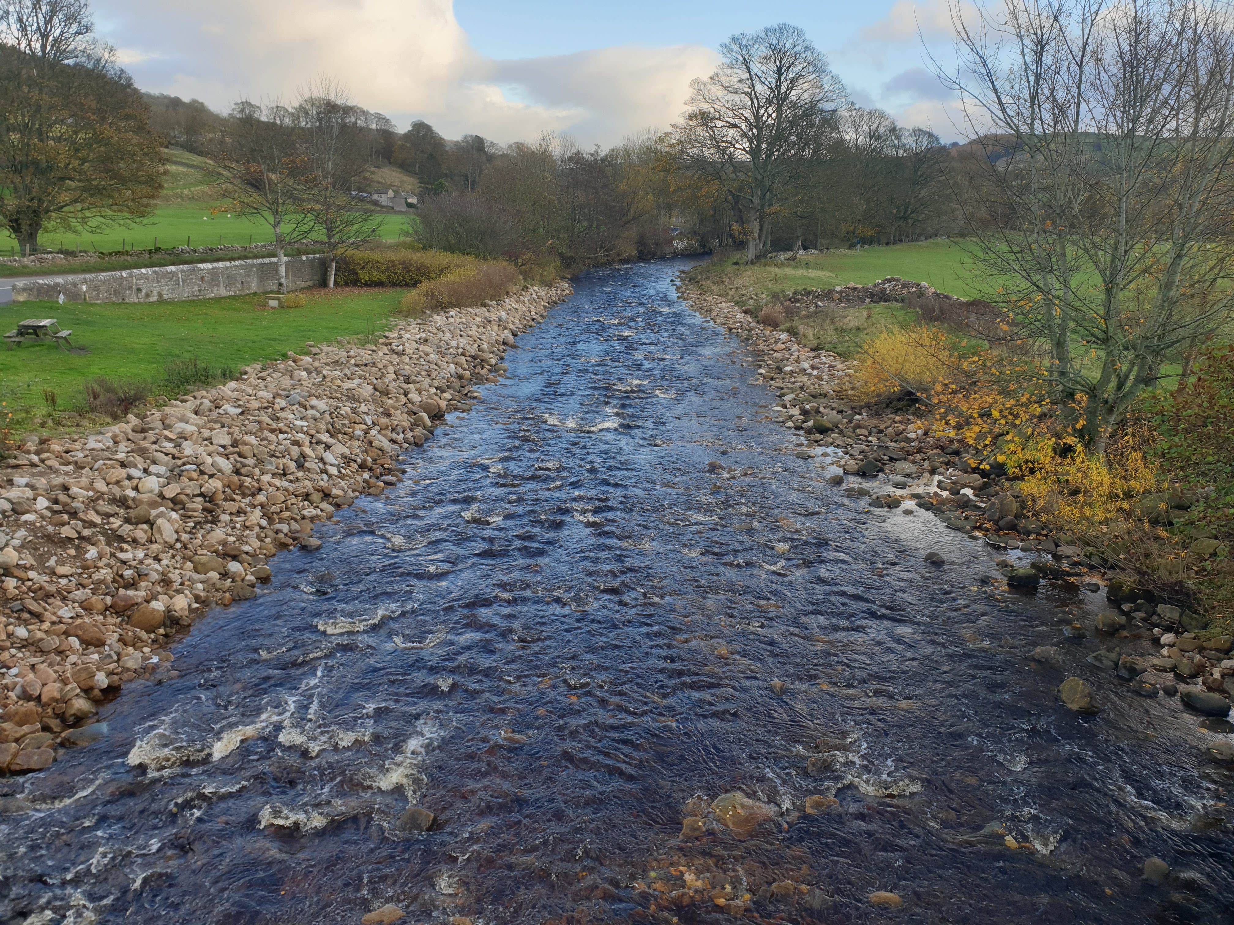
At this point the path joins the main road by Reeth Bridge.

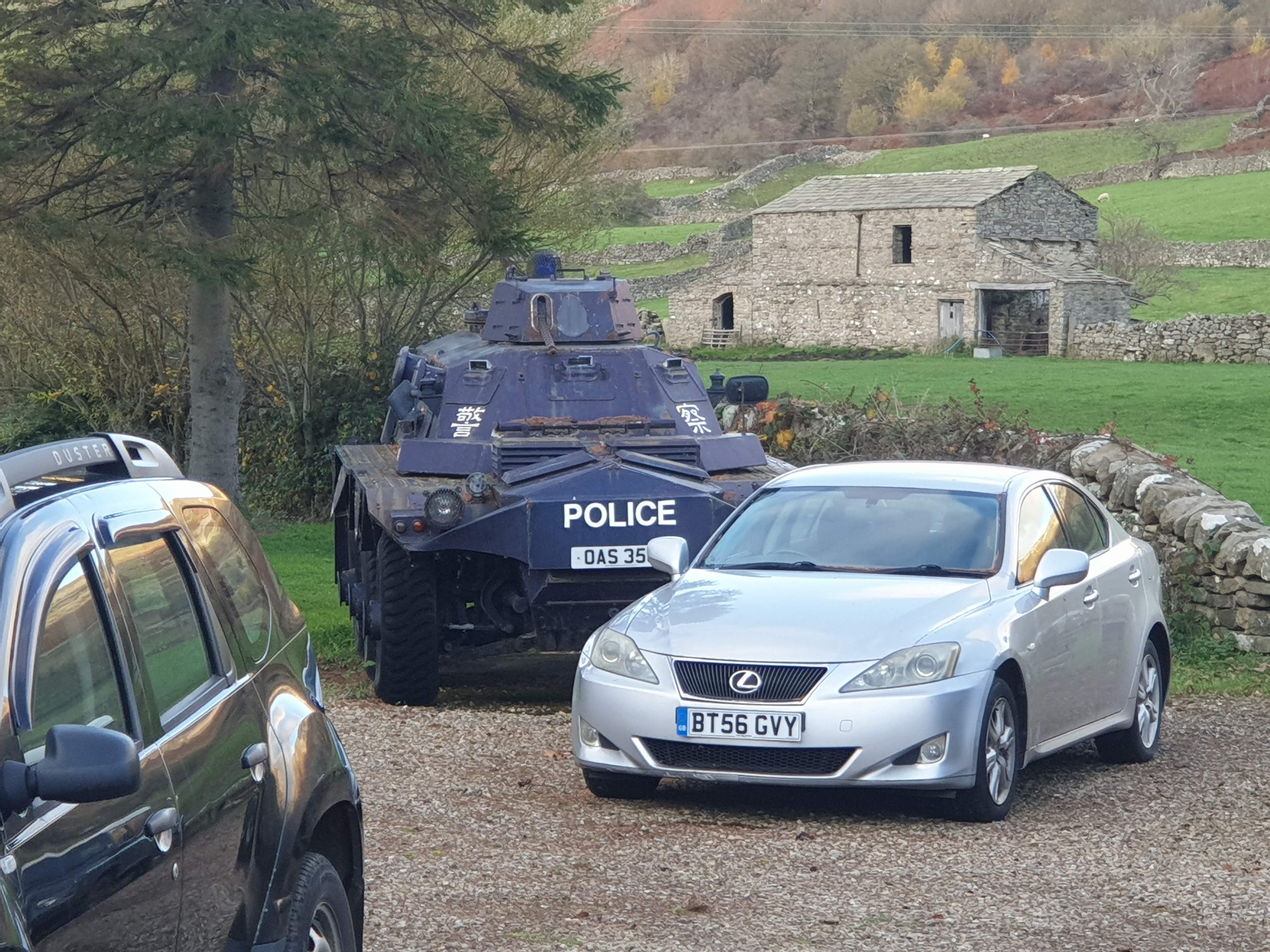
And by Reeth Bridge, a car dealership with an Armoured Car.
Finally, a couple of pics from Reeth Bridge. After crossing the road bridge it was just a case of following the road back to Reeth market square.