South Gare is a 2.5-mile man-made breakwater at the mouth of the River Tees in Redcar, England. Built between 1861 and 1888 using local industrial slag, it now serves as a protected haven for ships, a popular angling spot, and a birdwatcher’s paradise.
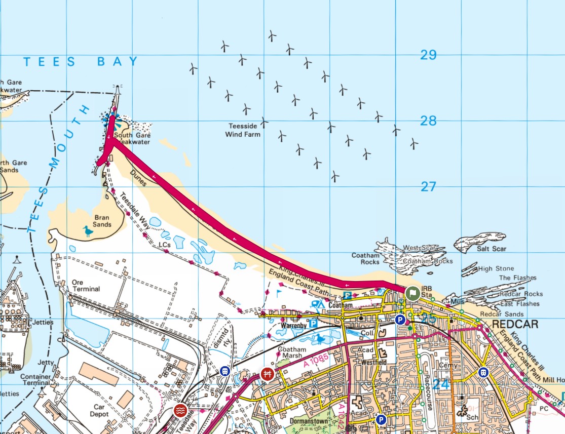
Starting at Redcar seafront this is a simple route, follow the sand and sea west to South Gare. Explore South Gare and head back to Redcar on the same sandy sea route.
If you are planning a trek or paddle on Redcar beach
check the tide times.


Starting at Redcar seafront with plenty of parking (it maybe busy on a sunny weekend or bank/school holidays). Time to build up the energy with a lemon top, and to checkout some of the updates to Redcar seafront.
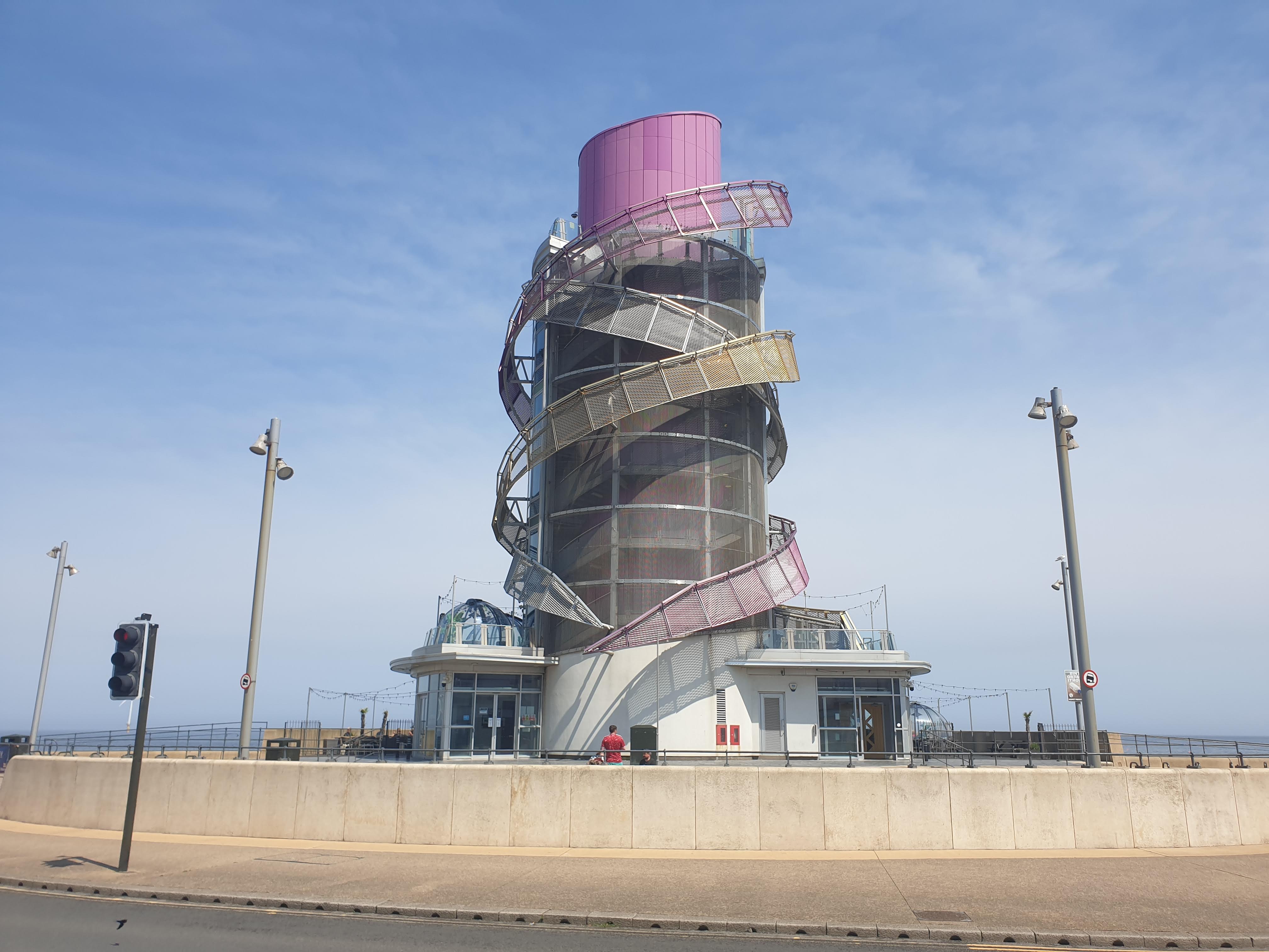
Redcar Beacon, the vertical pier.
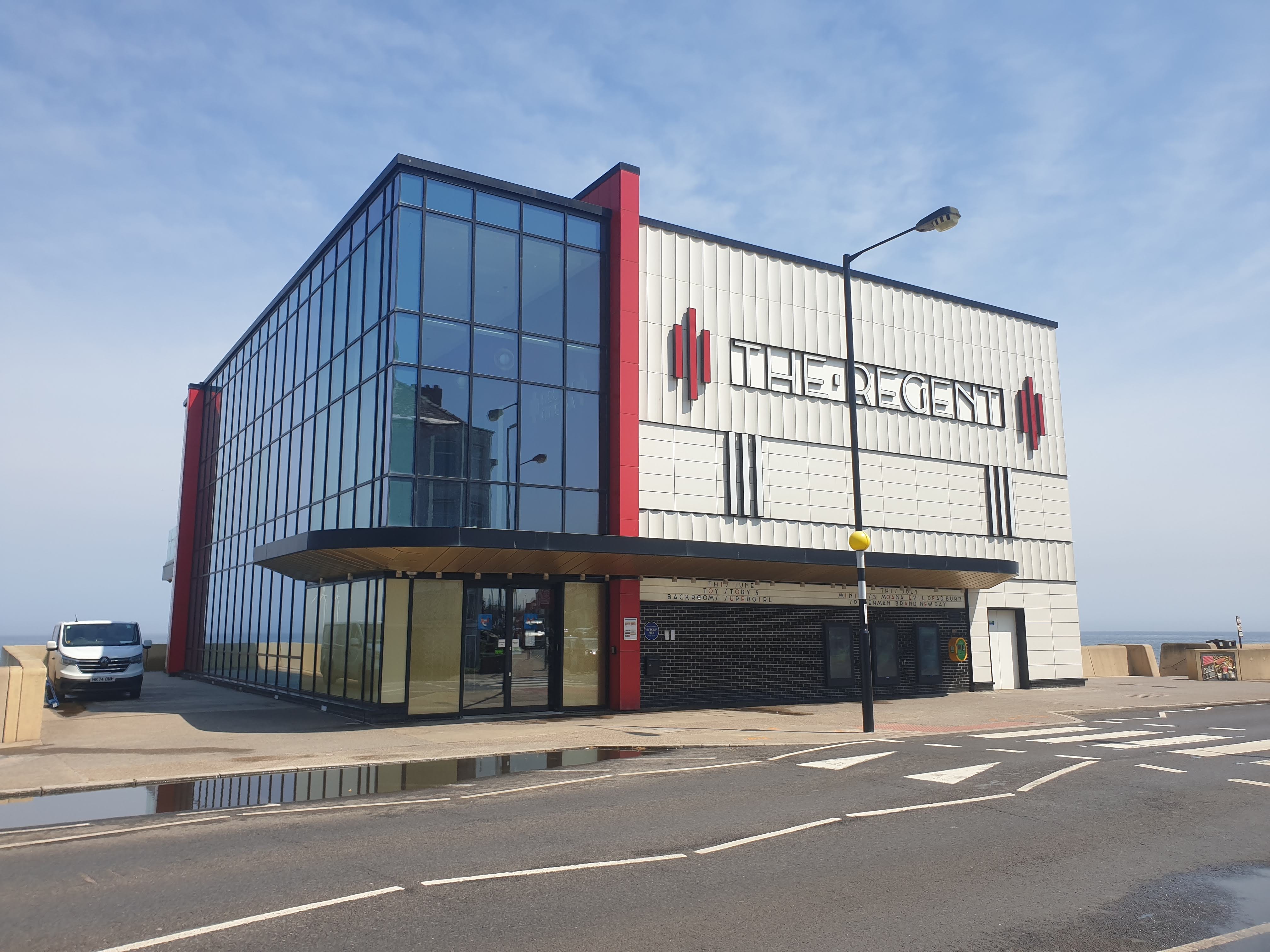
The Regent Cinema.
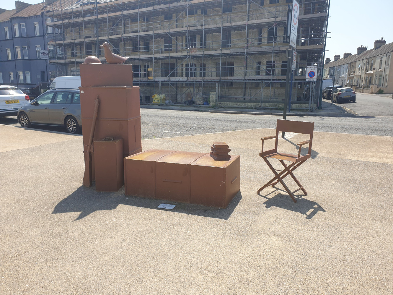
The “Left Luggage” sculpture by Artist Lewis Robinson to commemorate the filming here of Atonement in 2006.
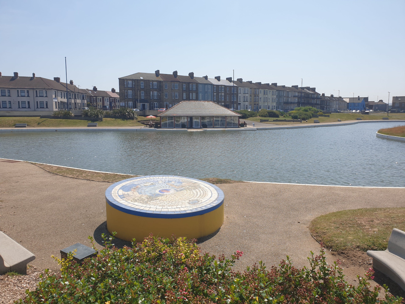
Coatham Boating Lake with the new Boathouse.
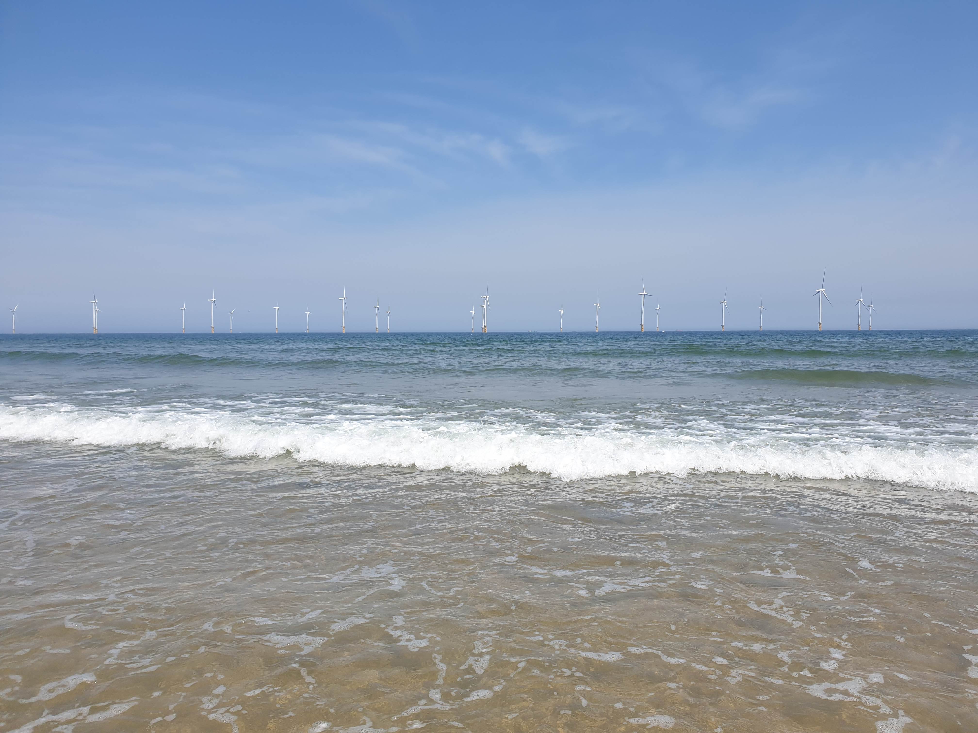
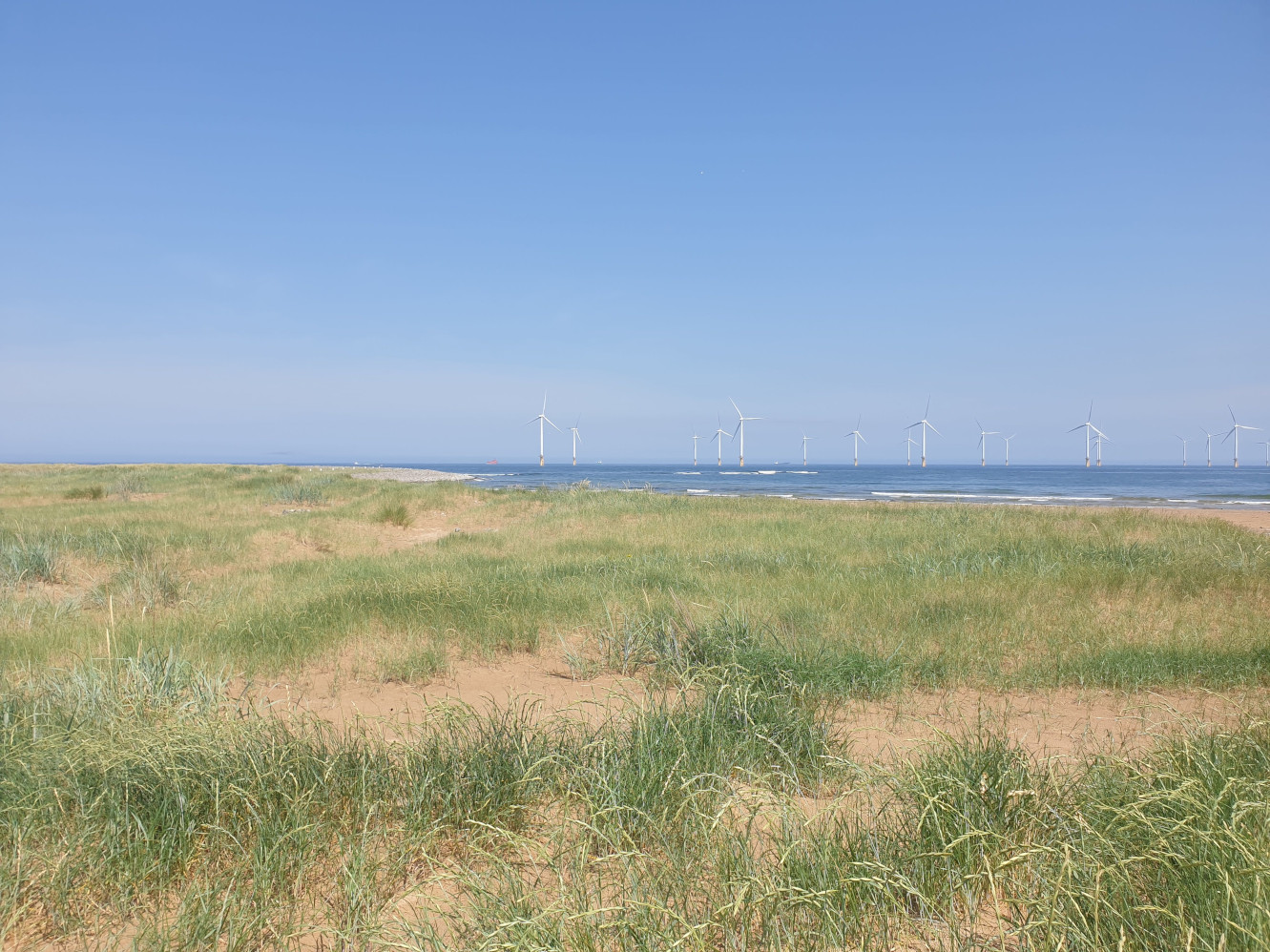
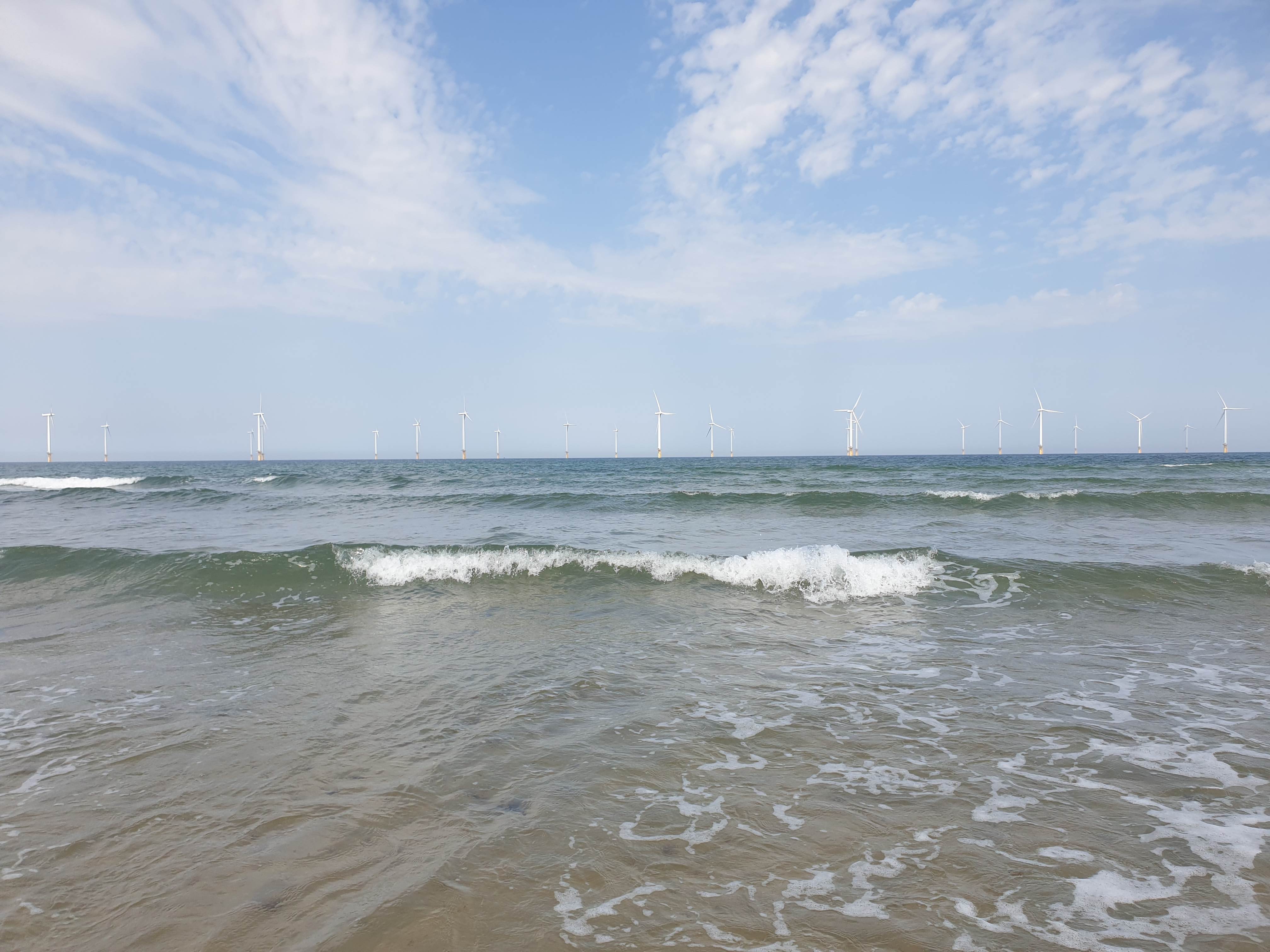
And, the sea, with wind turbines as you may have spotted on the OS Maps pic.

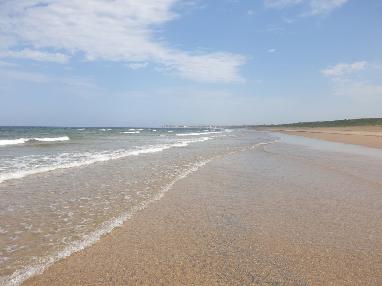
Here is the route covered in one pic, a nice, level, sandy path along the beach. With it being a warm day I took the opportunity for a paddle. In the distance is South Gare with its white lighthouse a tiny speck on the horizon to the right.
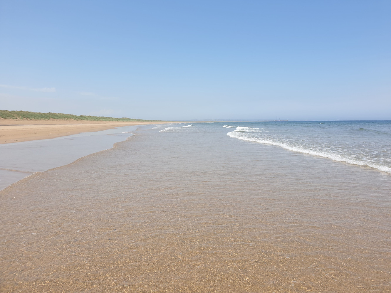
And the view out to sea.
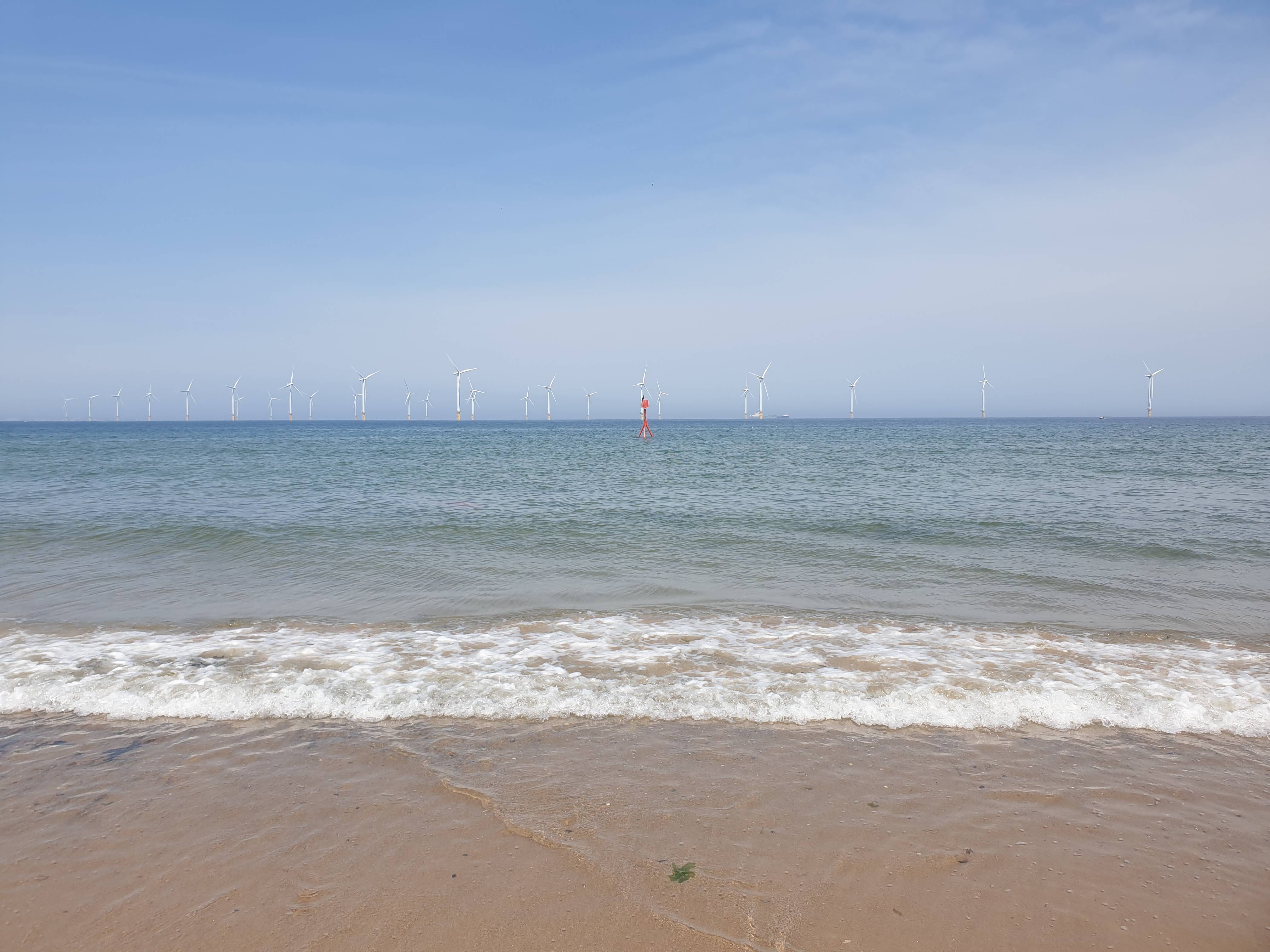
As you get further along the beach the windfarm seems a little closer.
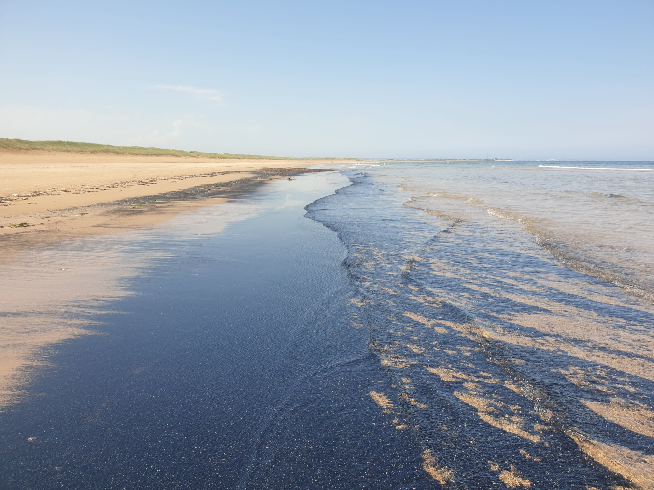
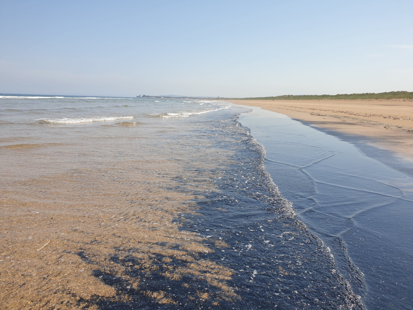
Sometimes it isn’t always sandy, but this sea coal is fine to walk through and soon washes off. Better than getting tangled up in seaweed or stepping on a Jellyfish!
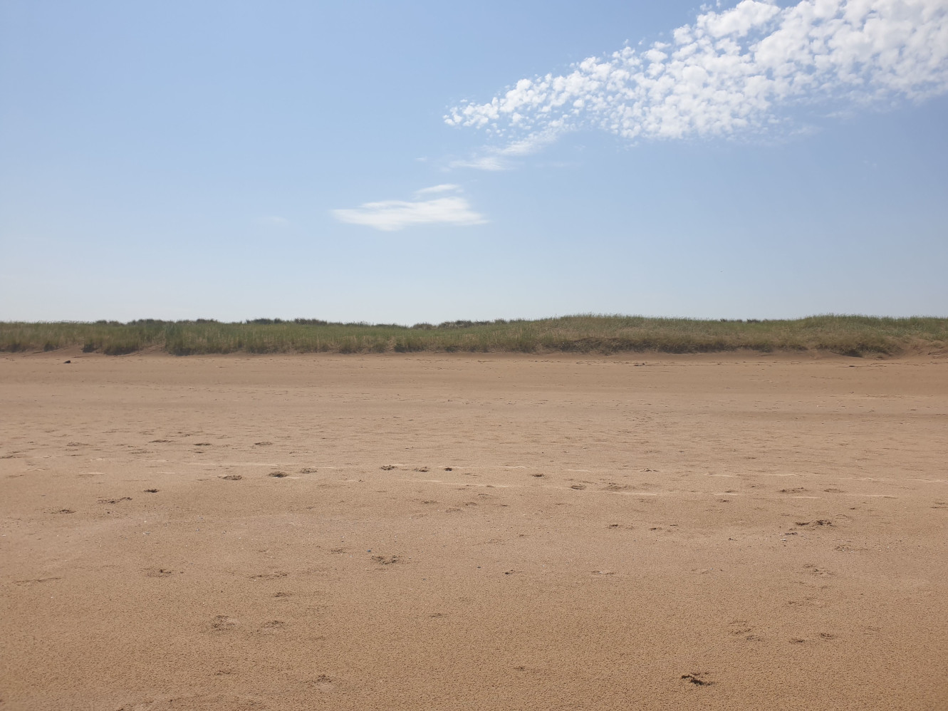
And the view inland of the dunes.
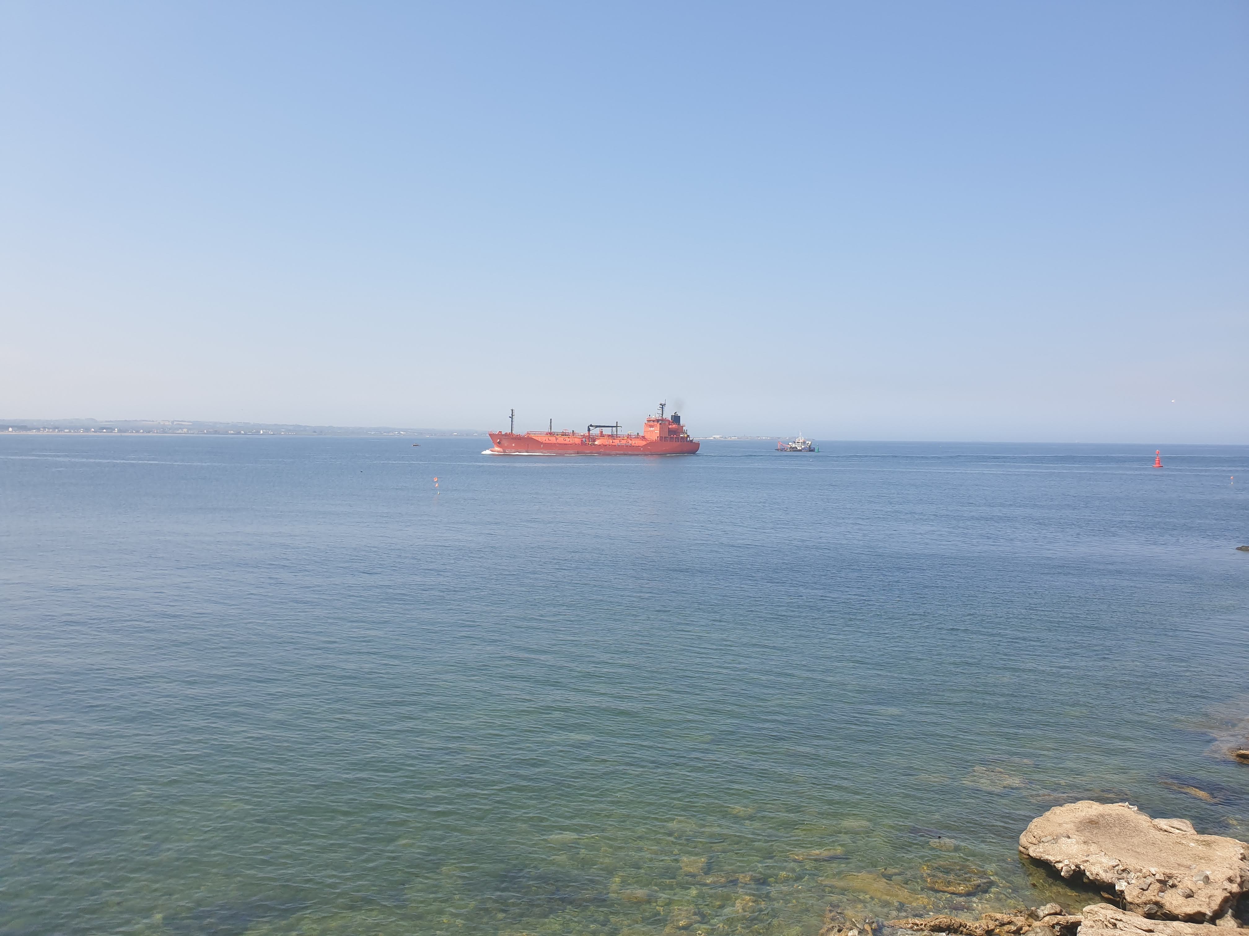
Much closer to the gare now, the entrance to the river Tees with a ship leaving Teesport and heading out into the North Sea.
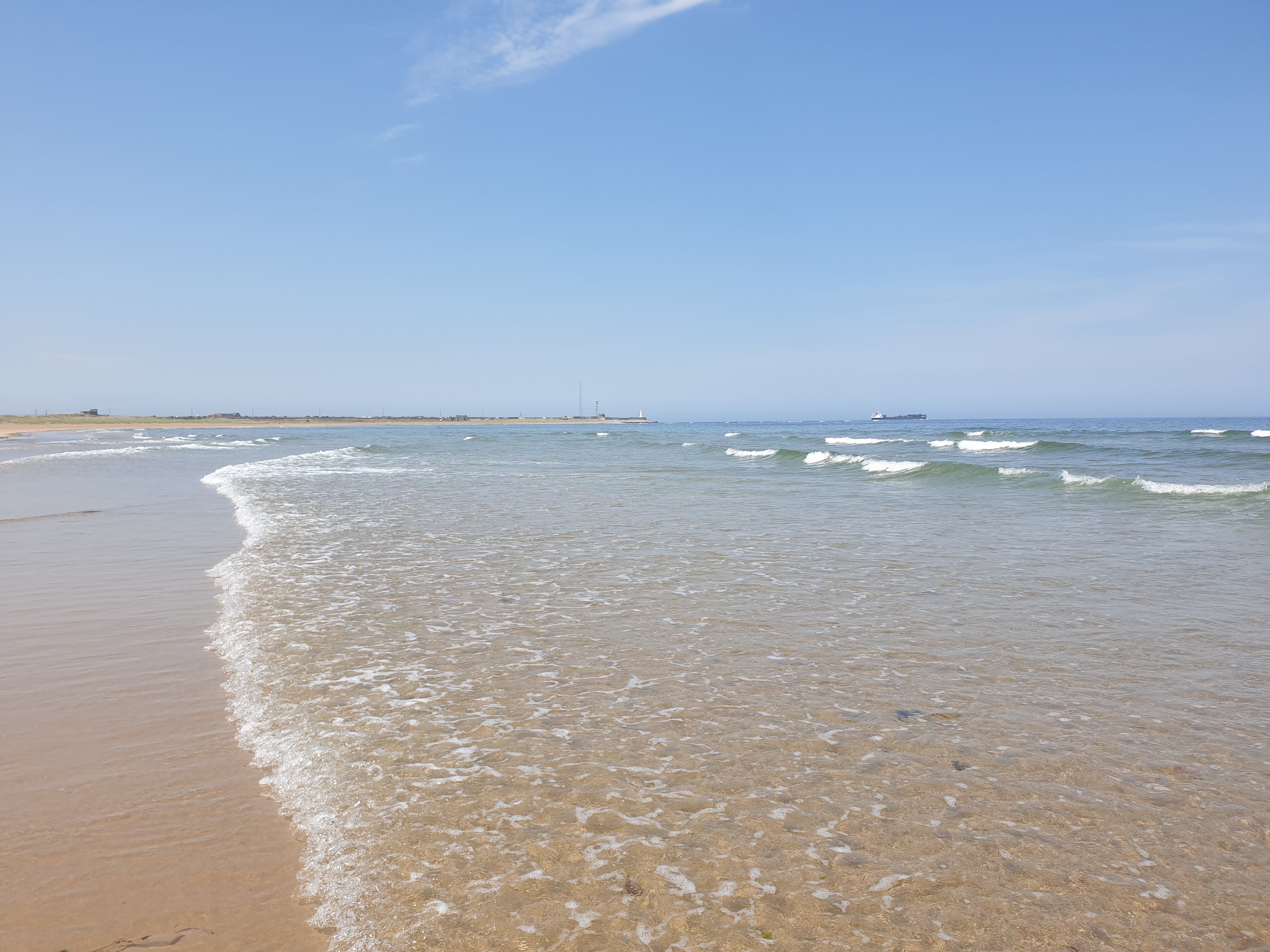
Getting closer to the gare with the lighthouse now easily visible, it’s time to head inland, along the side of the grassy area which is protected due to nesting seabirds.
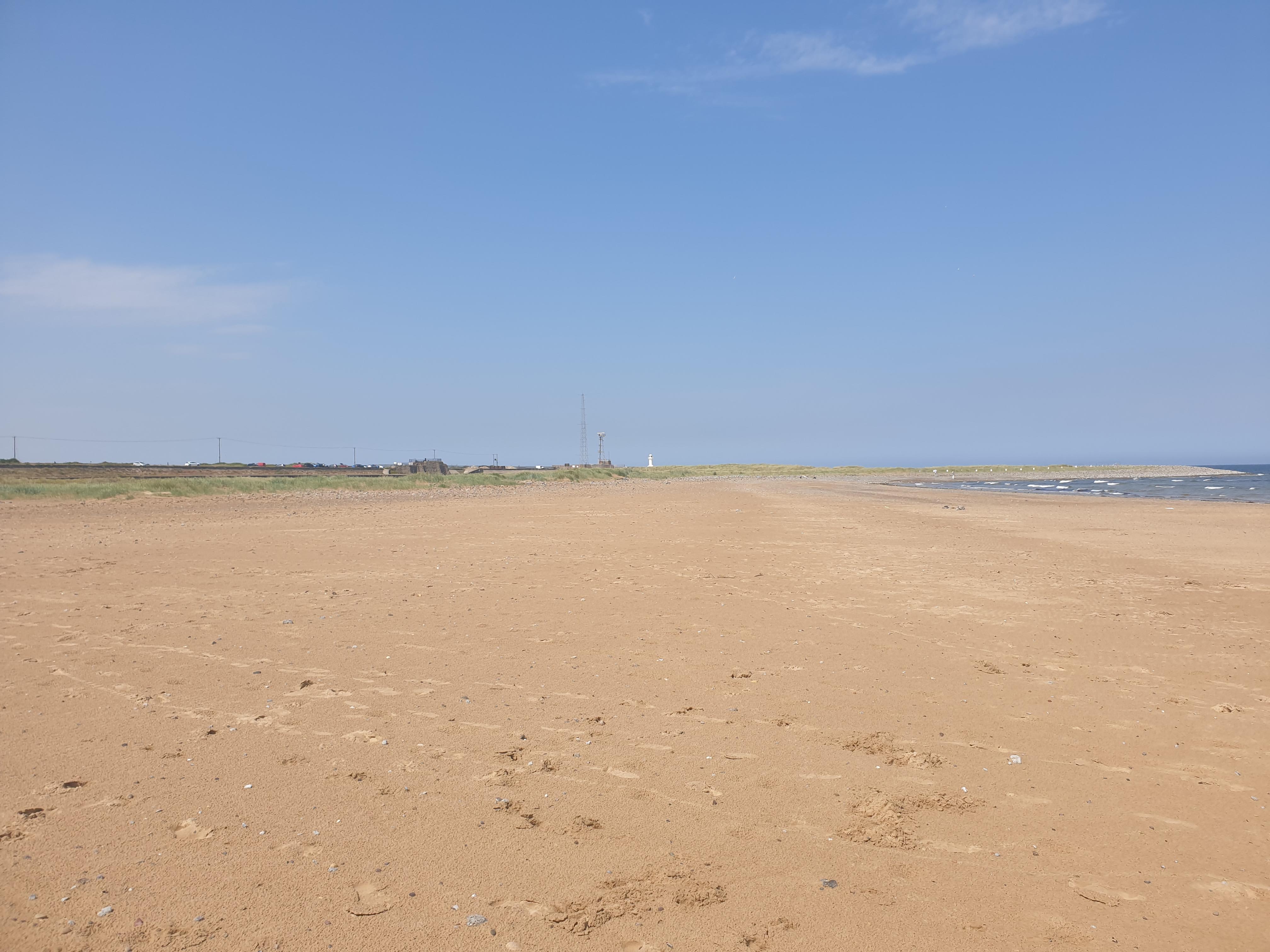
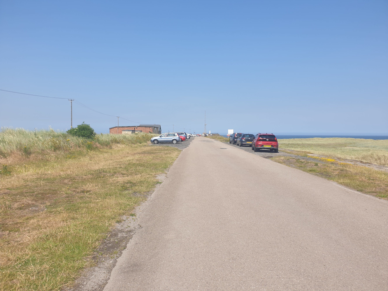
South Gare has this tarmac road running along it, either side there are paths down to either the beach on the right, or the River Tees on the left.
The River Tees side, showing Teesport and all the industry. Including Hartlepool Nuclear Power Station, the block building on the right.

This view shows Teesmouth, looking over to Hartlepool.
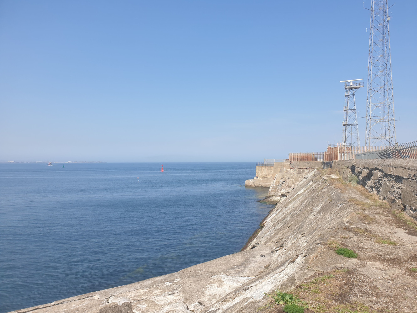
This is the closest you can get (legally and safely) to the lighthouse.
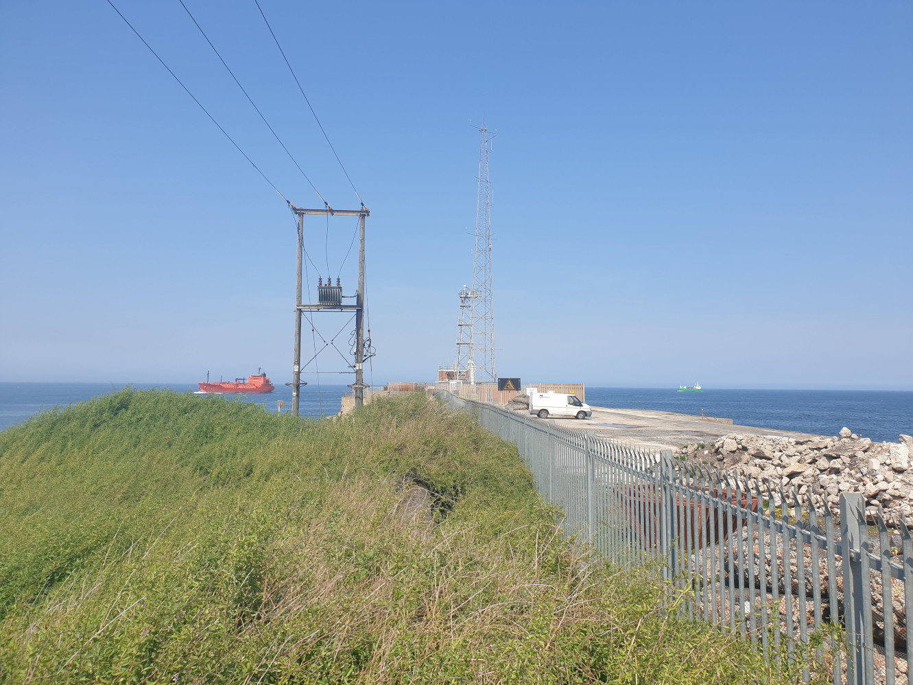
A red tanker coming into port with the help of a pilot boat.
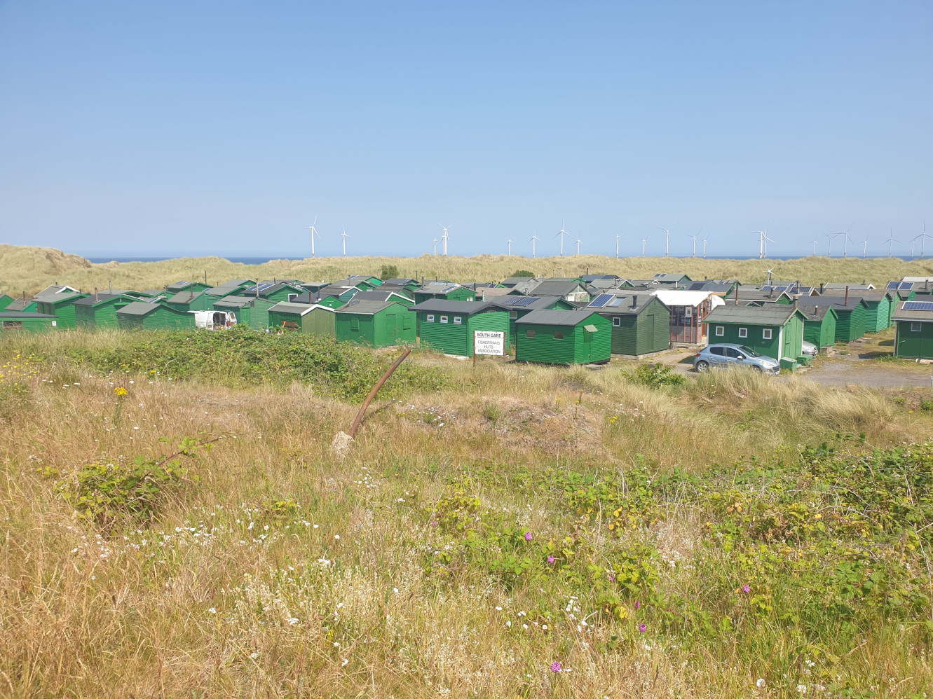
After taking in the view across the Tees I headed south along the tarmac road for a short distance, past the fisherman’s huts.
To
Paddy’s Hole, a small inlet housing smaller fishing boats protected by a jetty.
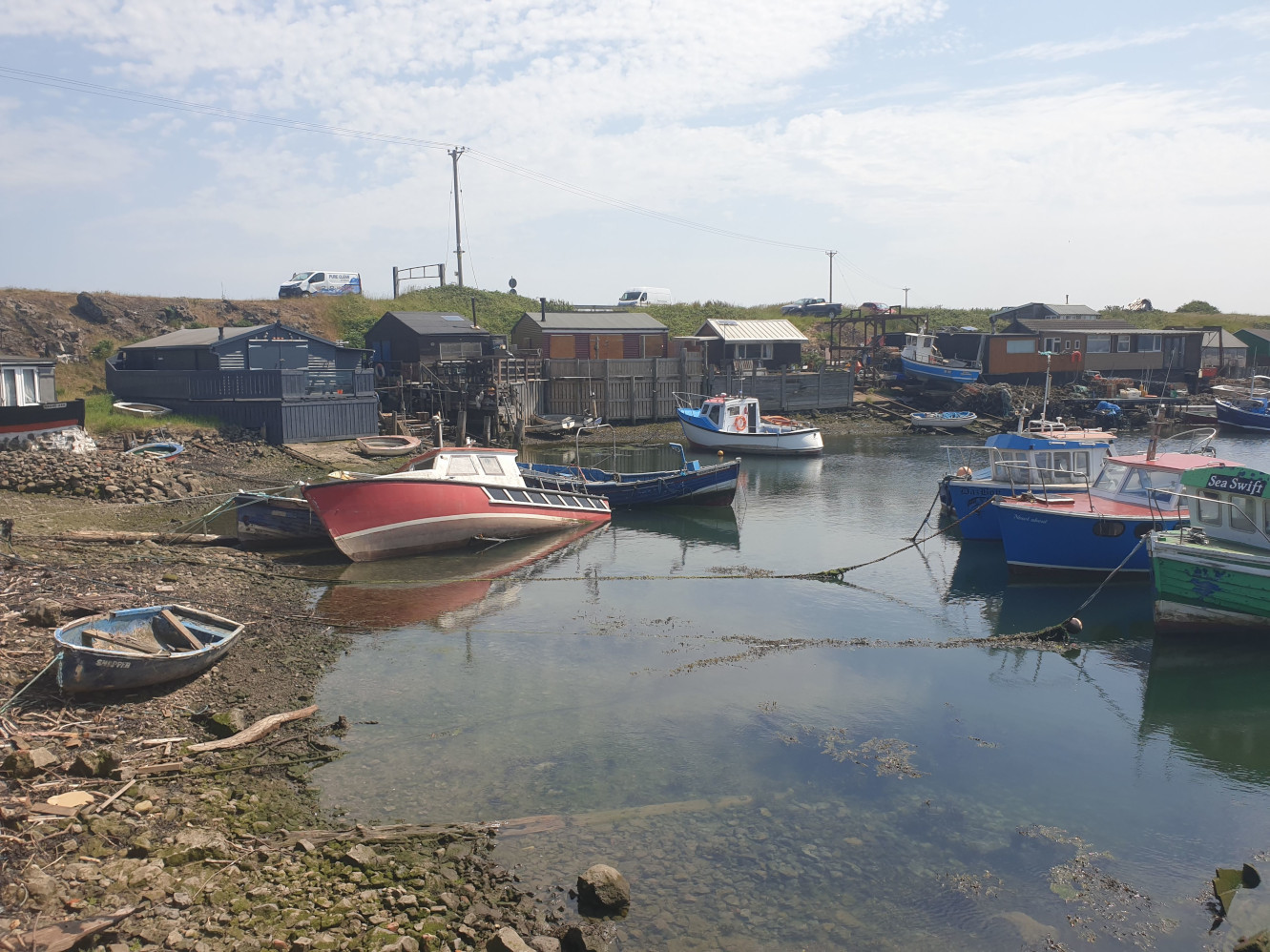
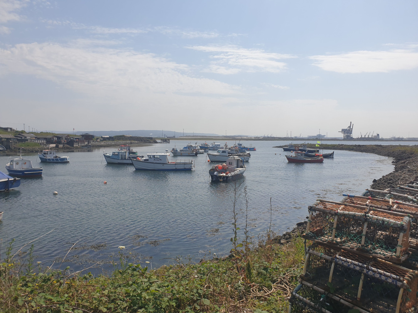
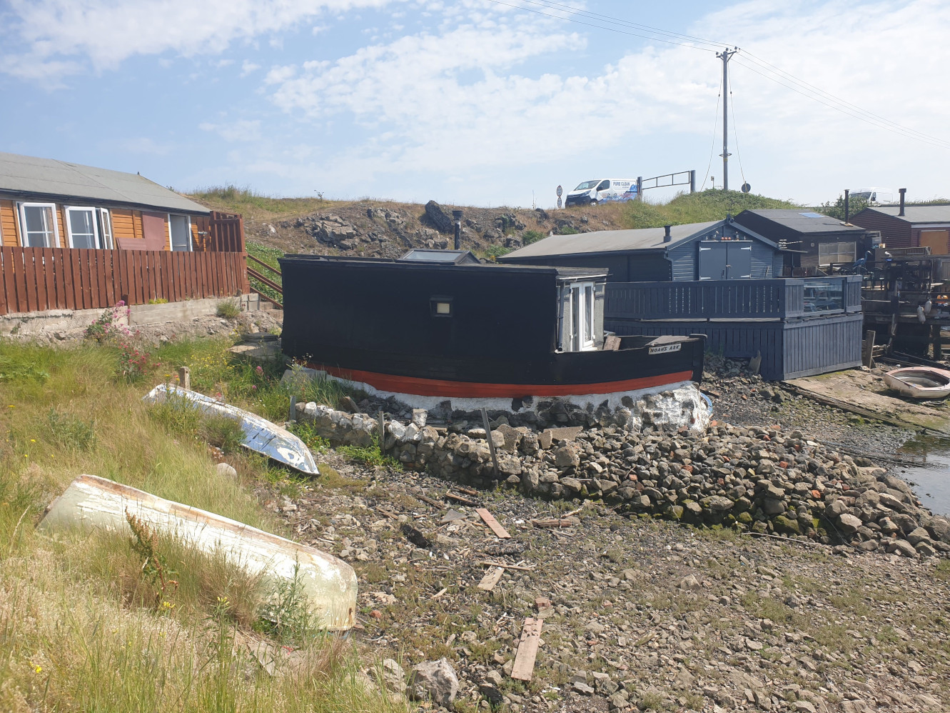
Thats the furthest point of the trek done. It’s now just a case of retracing your steps back along the beach to Redcar.
This one pic may cover the most Tiggy Tours in one view, covering, from right to left…
Errington Wood, Saltburn Trig Point, Saltburn to Skinningrove, Skinningrove to Mars
tours and in the faint distance the Cowbar Clifftops tour.
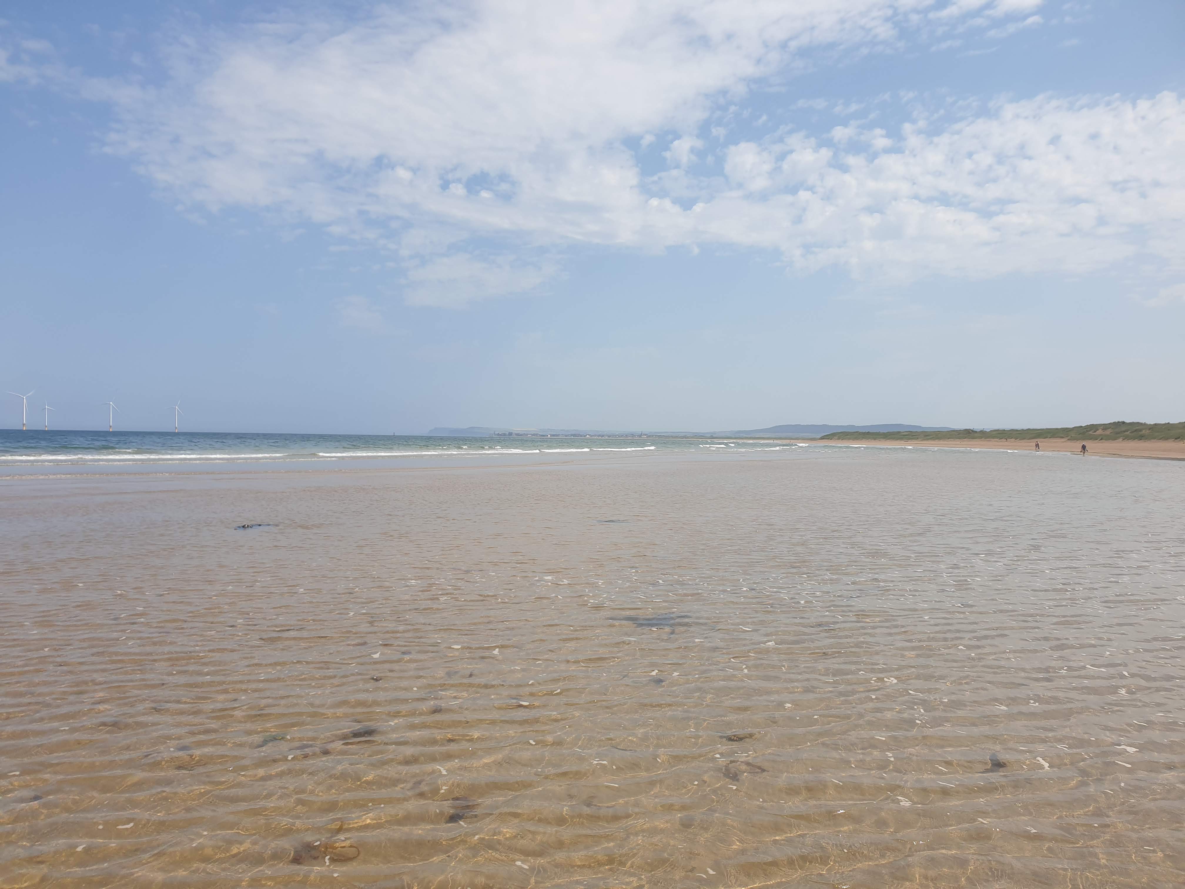
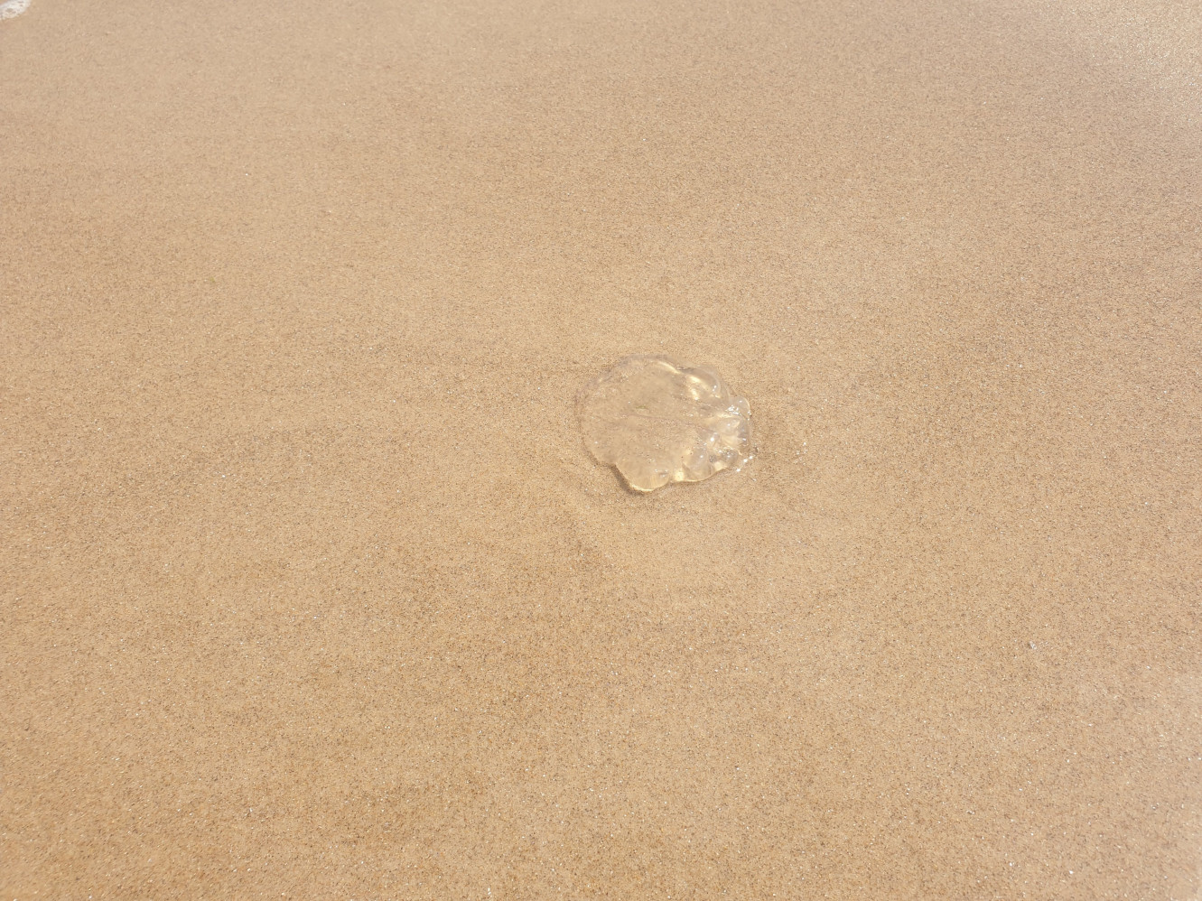
Maybe due to the sun there weren’t many birds about so the wildlife photos were limited to Jellyfish.
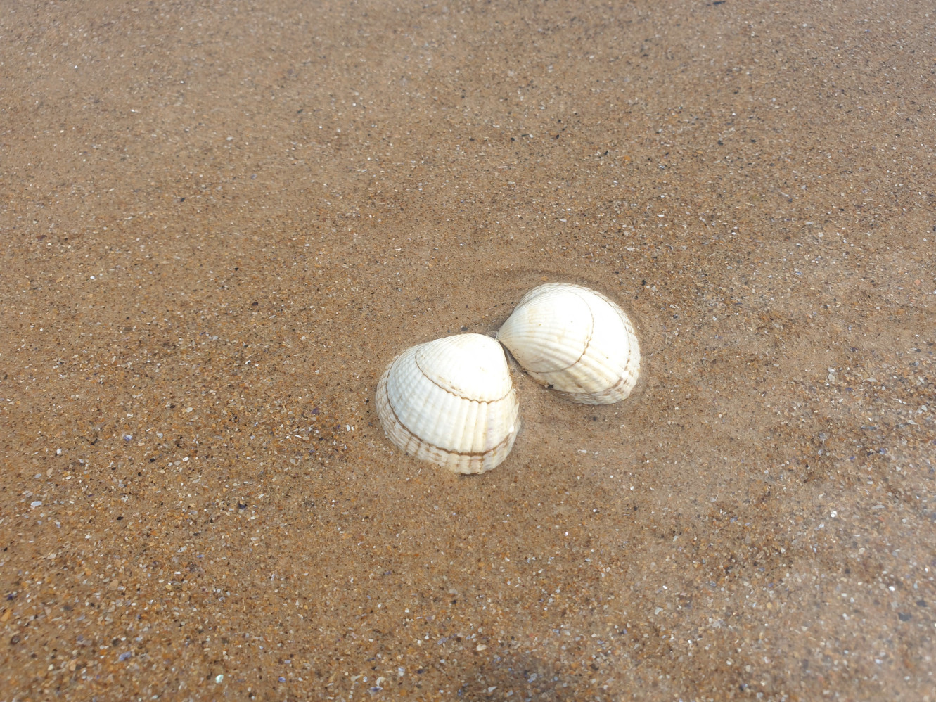
Sea shells.
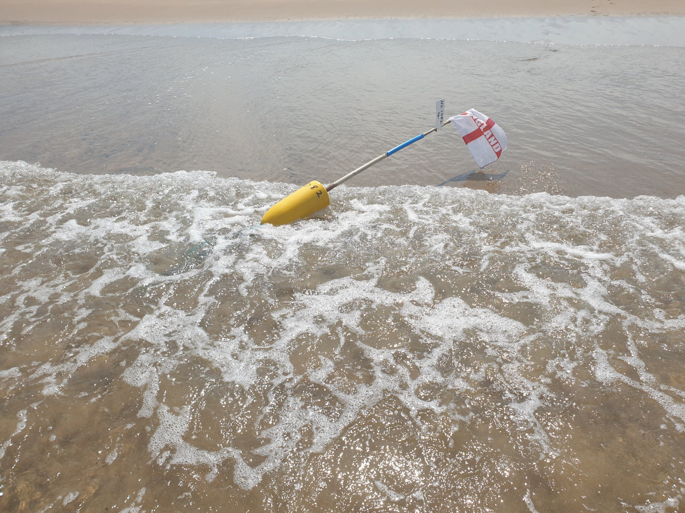
And a rogue fishing buoy.
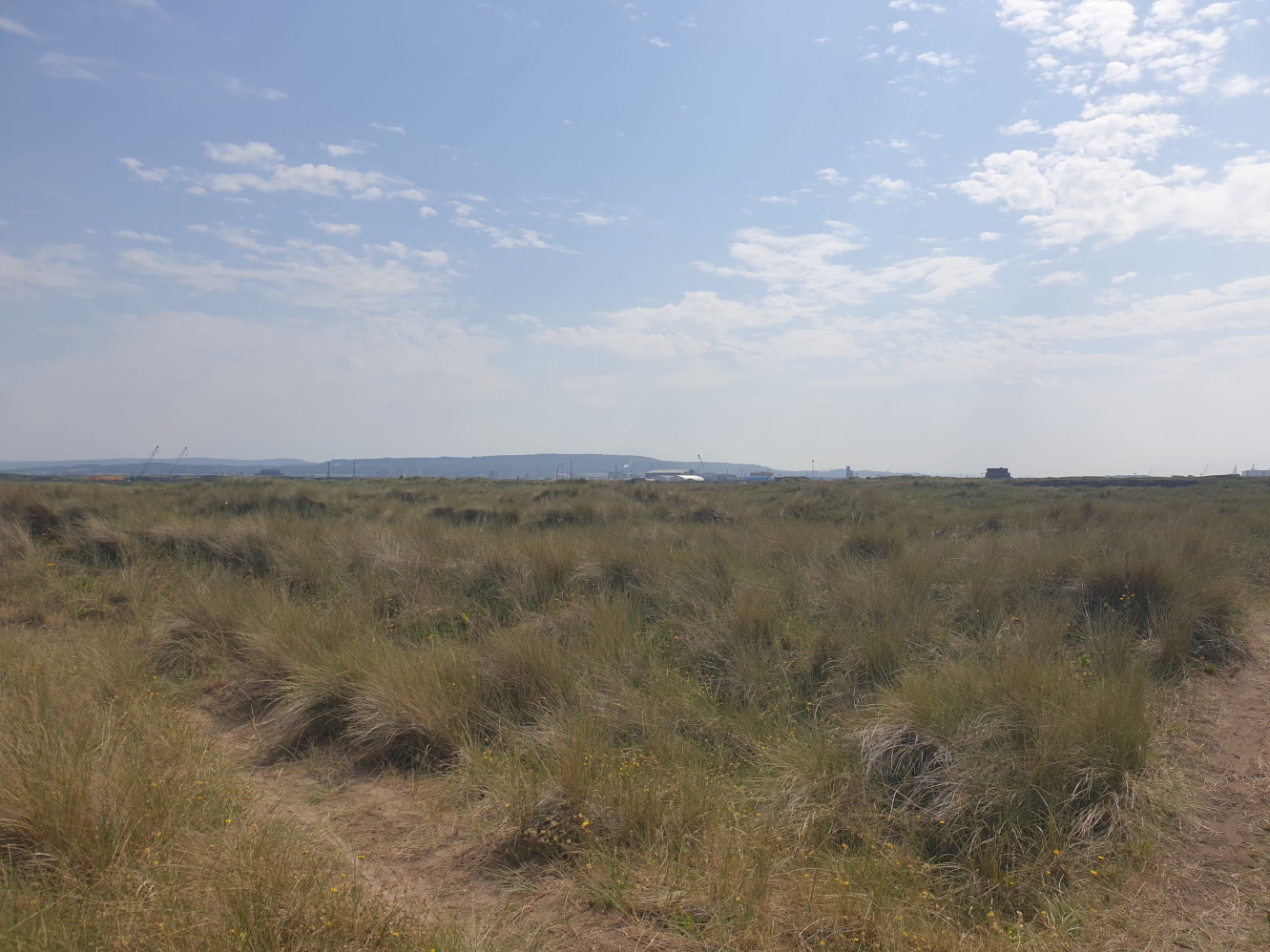
A quick peek over the dunes, looking over to what used to be British Steel but is now a construction site for various net zero projects. The hill in the distance is where the checkout the Eston Nab Tour takes place.
Looking back out to sea at the wind turbines.
One final pic of Redcar in the distance as we head back that way. Time for a celebratory lemon top!