For many years the backdrop to our stays at Dorlands Farm, Penhill was always over the other side of the valley so I thought it was time for a visit.
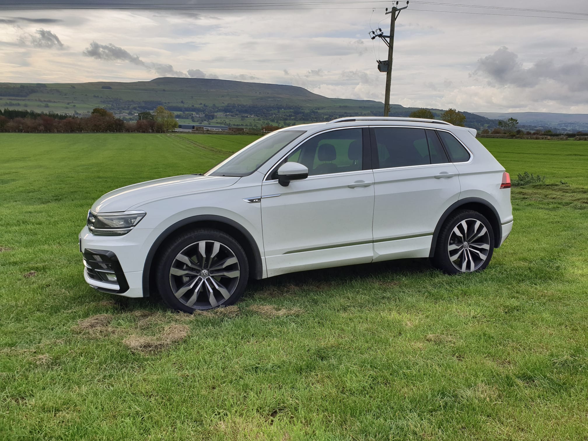
Here’s Tiggy parked outside Dorlands Farm with Penhill in the background.
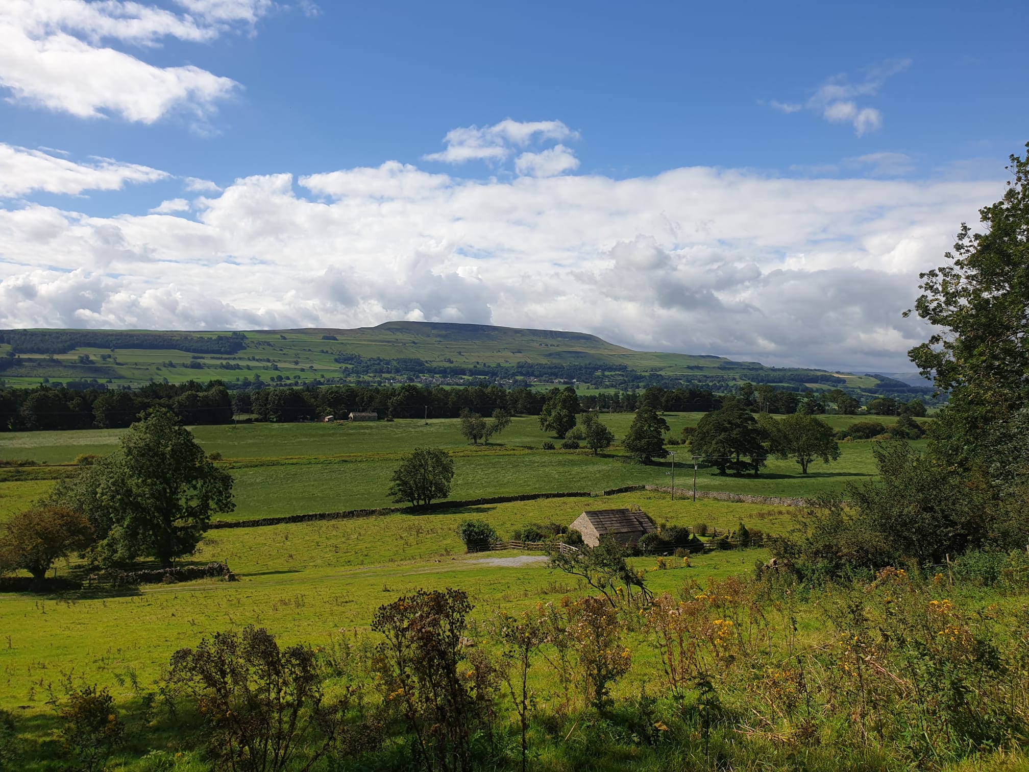
Another view of Penhill from across the Dale.
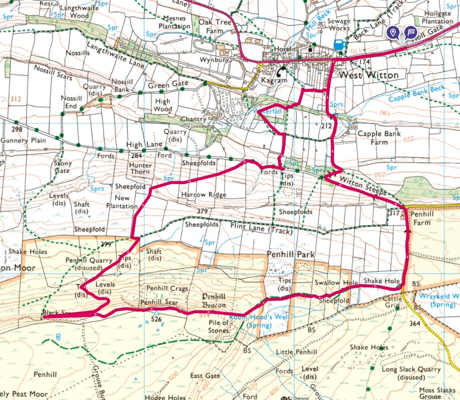
Parking in this large layby on the A684 just before you get to West Witton the route follows a clockwise loop. Starting with a steep uphill on narrow, barely used country lane and then grass for some time until you get to the climb Penhill. The path then follows along the top of Penhill and back down though fields back to West Witton.


Here is a view of Penhill from near the parking spot. Quite a climb!
There was a lot of flooding on the paths so I chose to follow the roads as you can see on the map above. In the past I’ve just gone straight up the hill following a steep path up the fields. The roads I followed this time were Grassgill Lane and the well named Witton Steeps.
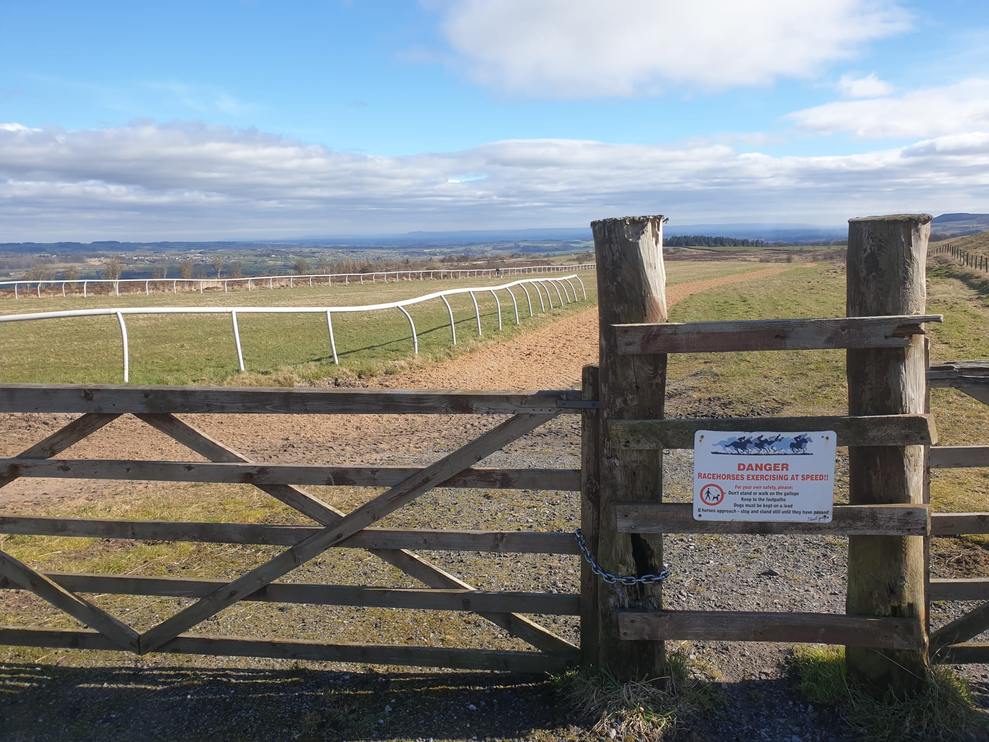
Keep following the road winding uphill until you pass Penhill Farm on the right with the racehorse training ground on the left hand side.
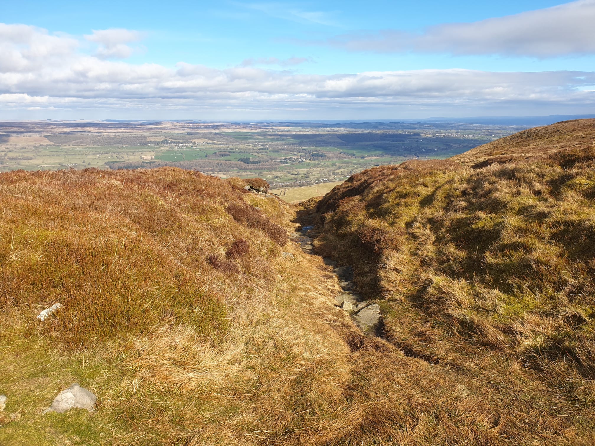
Just after the racecourse its a right turn off the road and along a footpath with a great view of the next climb! Even from here the stone cairn at the top is visible.
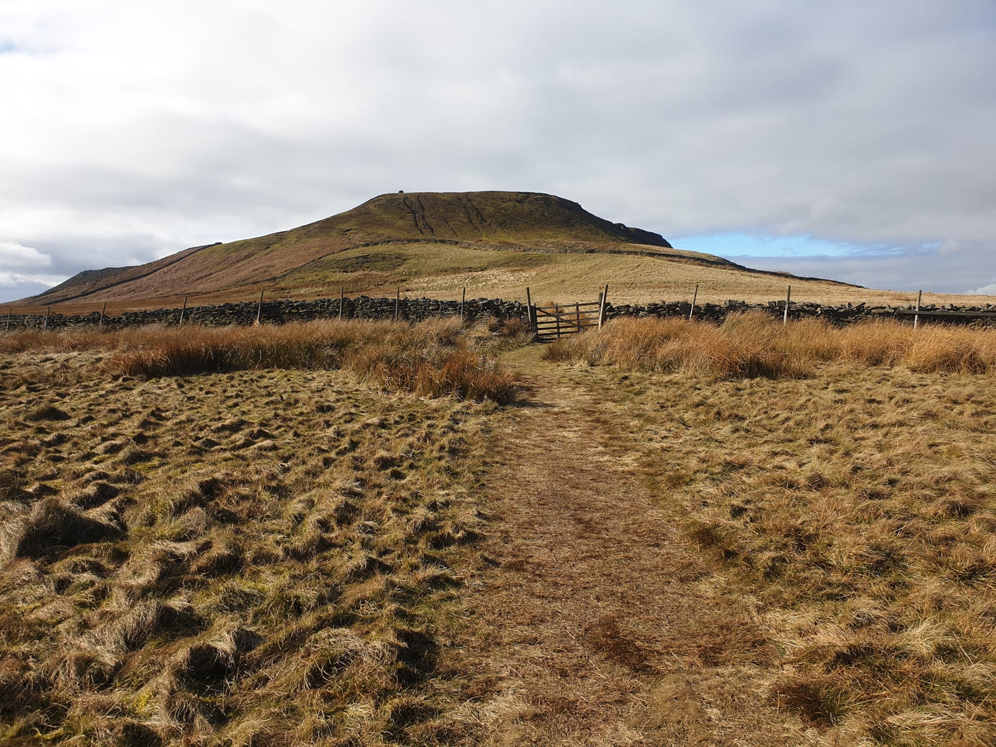
Here’s a similar photo taken on a sunnier trip.

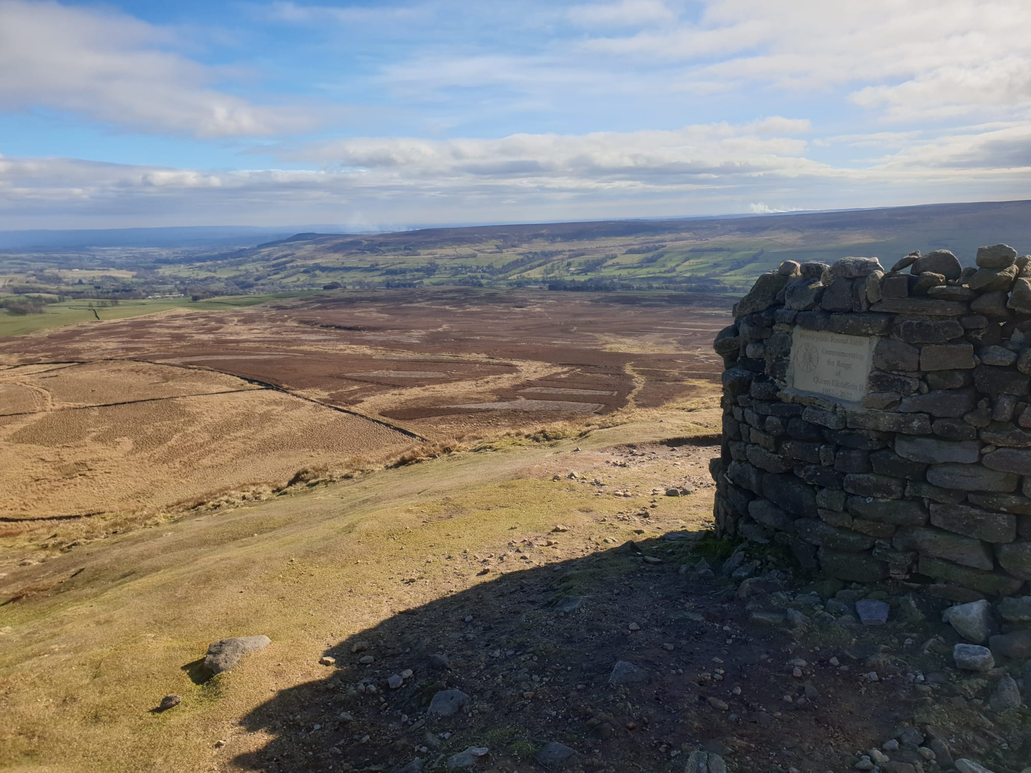
A very steep cross country climb to get to the top. The stone cairn had a memorial plaque commemorating the Reign of Queen Elizabeth II.
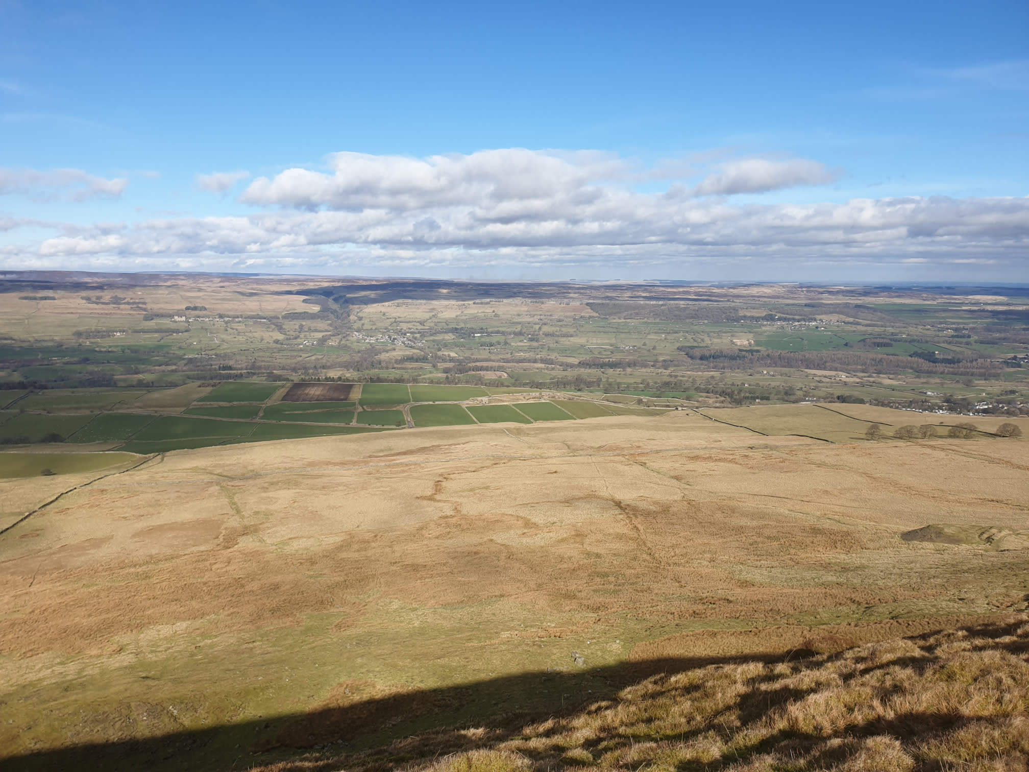
From there its a case of following the northern edge of Penhill along the Penhill Scar where there are a few paths along the top running parallel along the the cliff edge. With some great views across the dale, this pic covers Bolton castle on the left and Preston-under-scar with Dorlands farm on the right.
Follow the path along the top of the hill for a mile or so. Originally the intended route down was to take the path down from Black Scar seen here on the map.
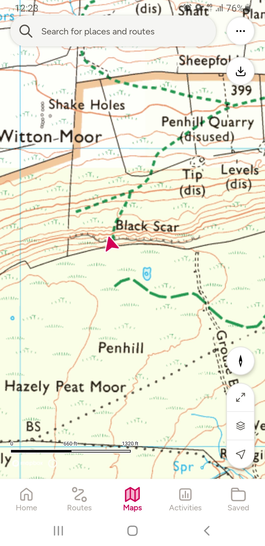
But, even with the close contour lines it was still a lot steeper than expected.
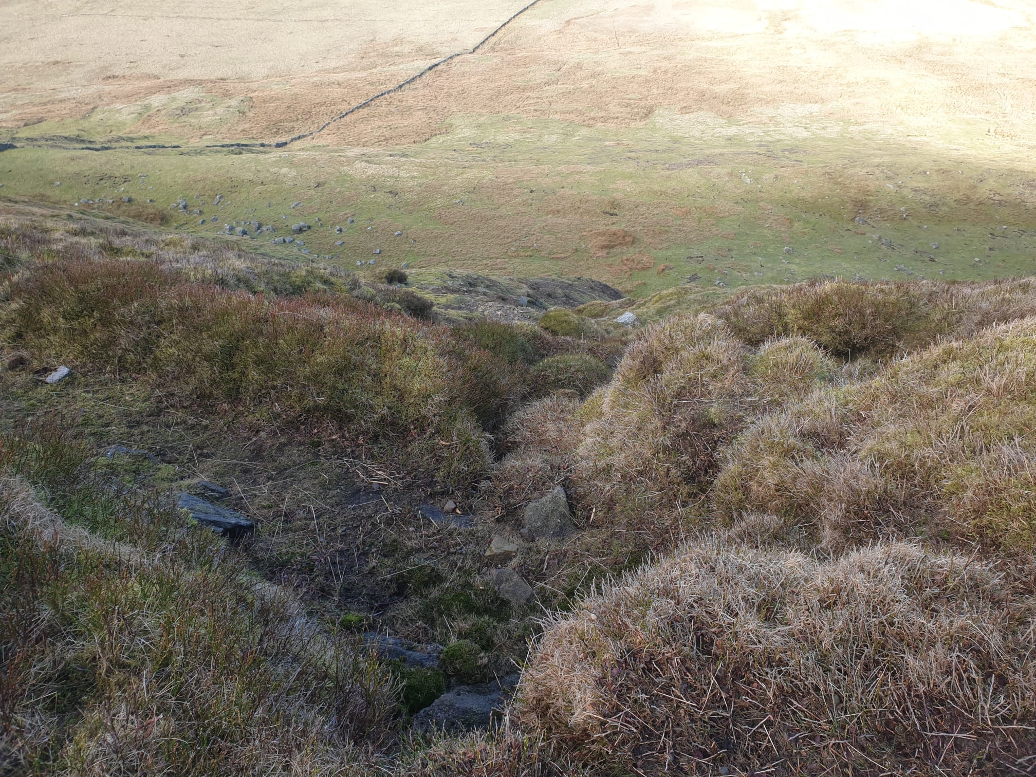
So I aborted that plan and backtracked a few hundred meters and followed a much easier path down just a little east of the black scar path.
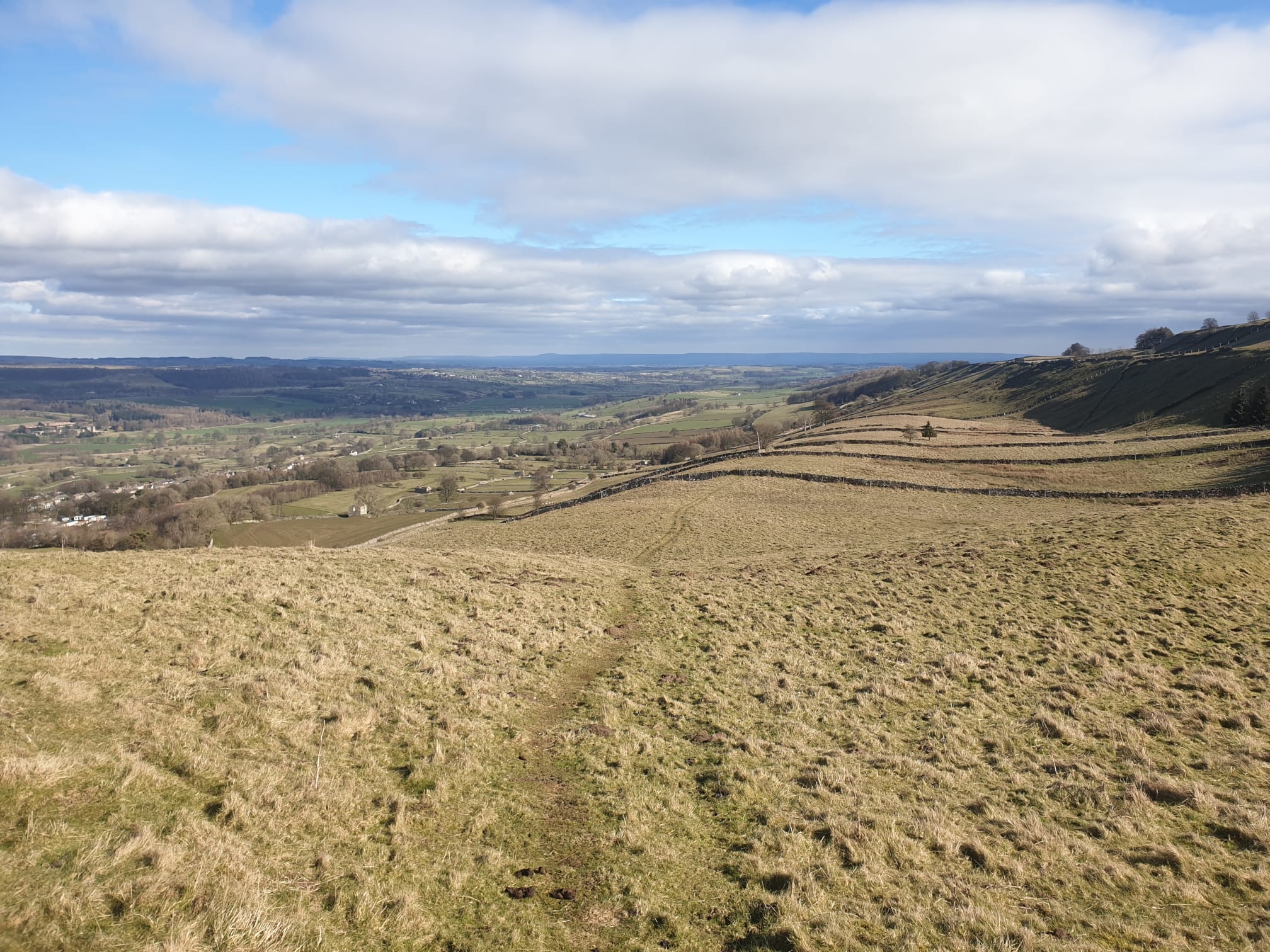
The route down is a lot less steep than the way up, a leisurely decline, following paths, northeast, through numerous fields until you get to a track.
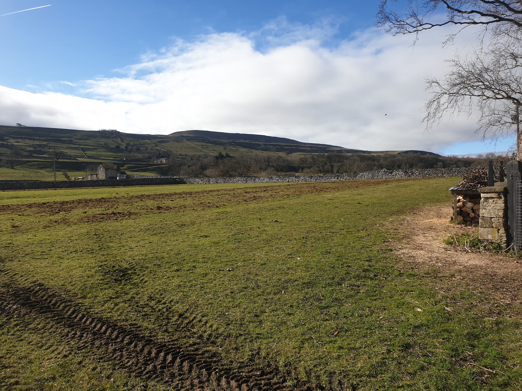
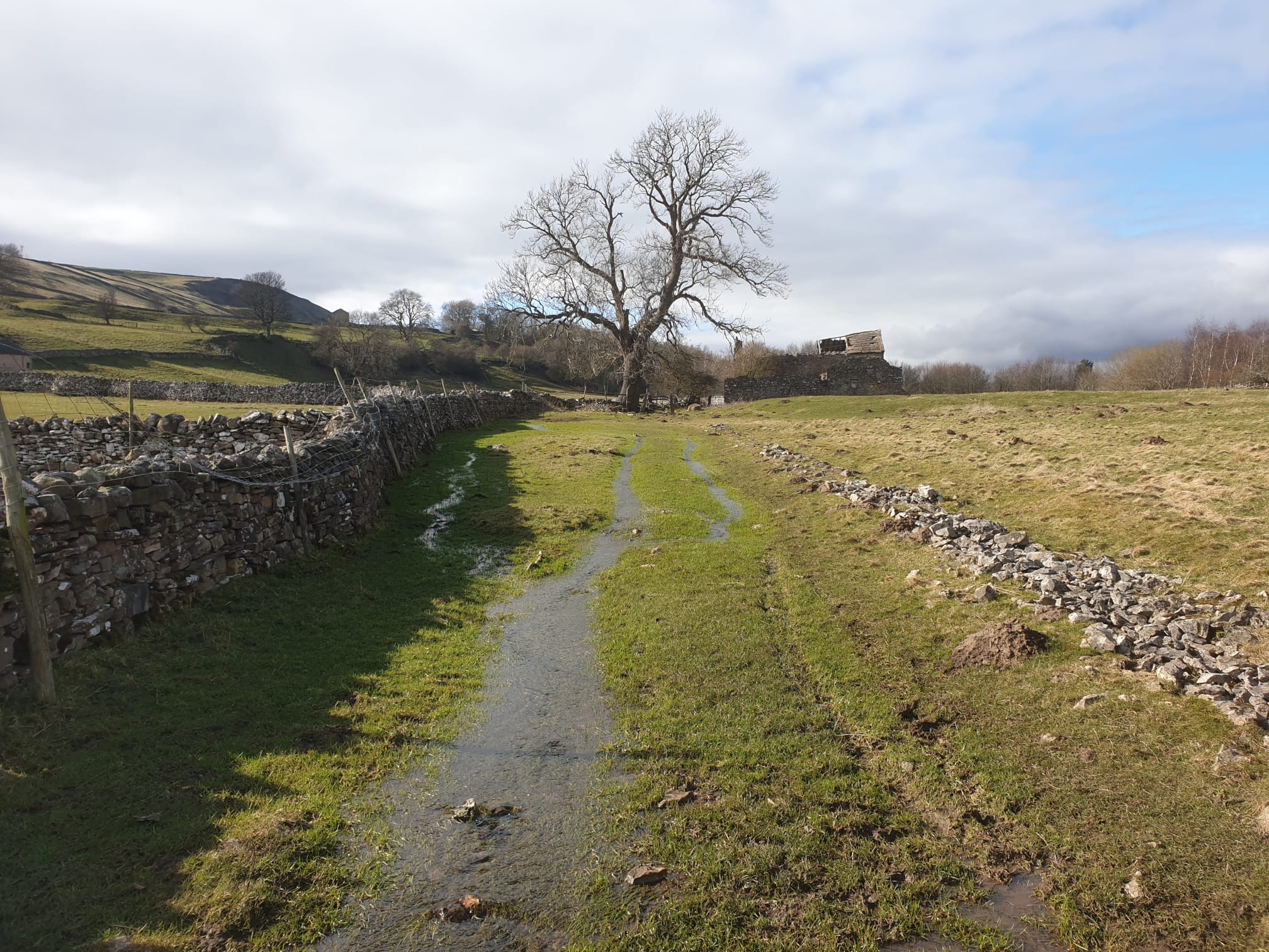
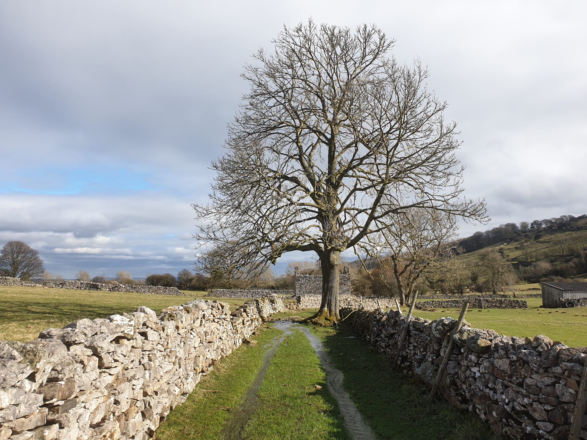
It was here at this track where ther are alternate paths to get up to the top of the hill. Here’s a nice picture I took on an earlier visit when I used the more direct (and very steep) path through the fields to get to the top rather than the roads.
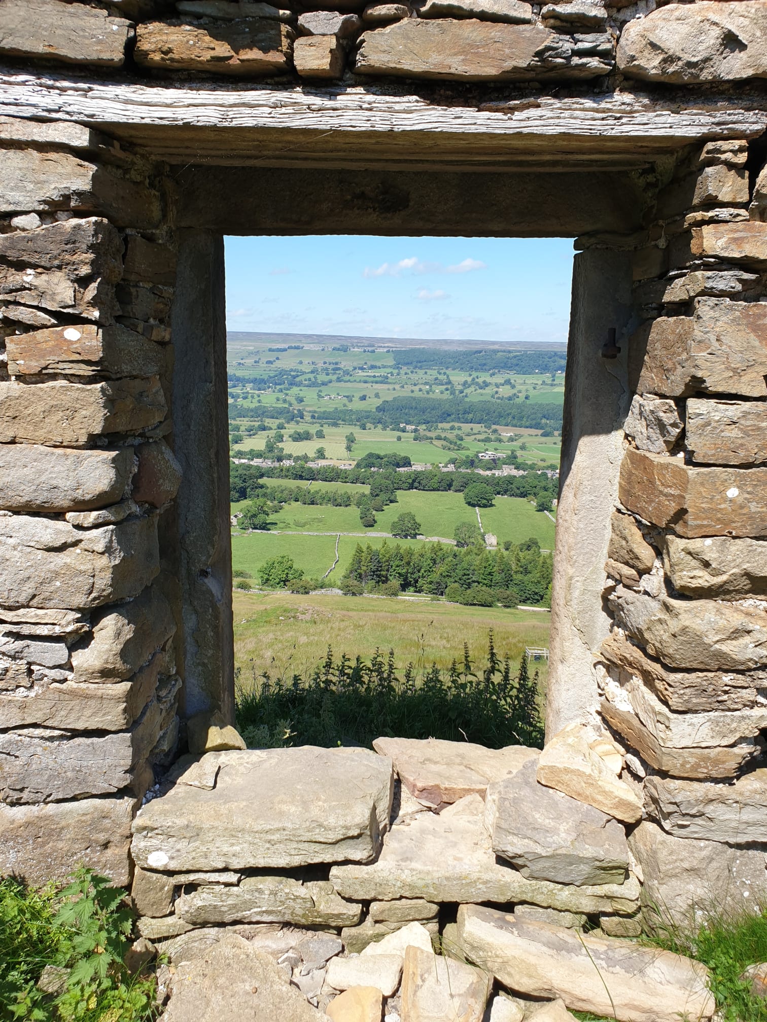
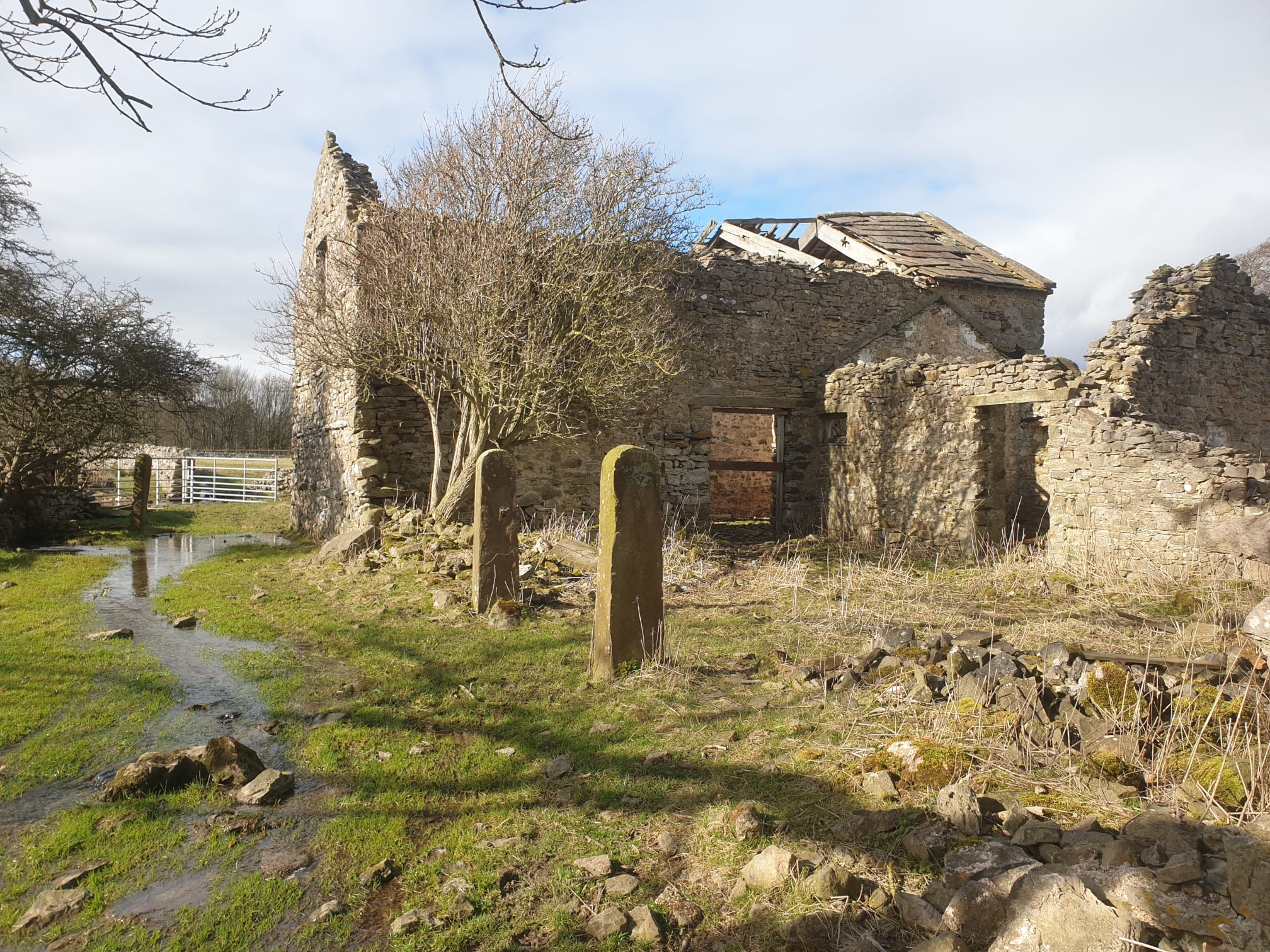
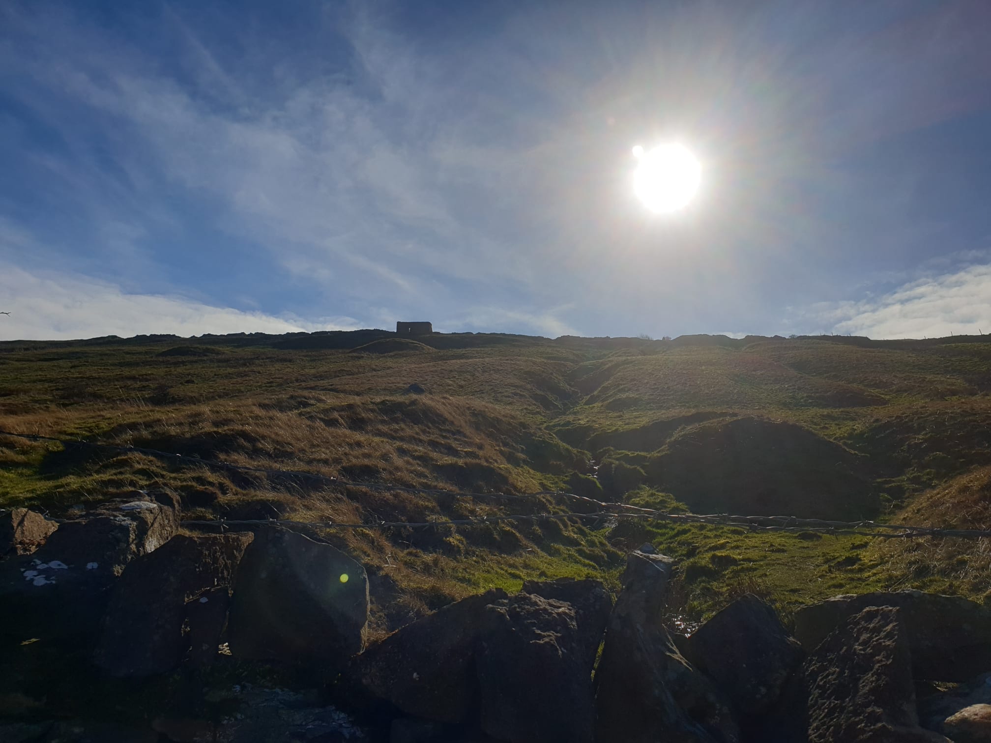
The stone building just above also appears in this photo I took on the way down during this hike.
After crossing a slight Ford on the track take a path on the left to head downhill, a little steep at first, through fields and a small wood back to West Witton.