A regular walking spot, normally following the gravel track around the valley (see Blakey ridge and around the valley). I decided it was time to explore the valley itself so picked the below route I followed in an anticlockwise direction. Parking at this Blakey Ridge Car Park and heading down into the valley. Through fields and over to the other side of the valley and back, looping around on the old railway line which is now a gravel track.


From the parking spot I followed the track east, down the hill, past the Blakey Junction information sign and into the valley. Heading in a fairly straight direction down to Moorlands Farm.

Turn right at Moorlands farm and follow the footpath south for around a mile and a half through the farm fields and then along a track called Daleside Road (Track) on OS Maps.

The footpath then gets to a crossroads of footpaths just to the east of High House Farm. where the route turns left and east across the valley over a stream and through Craven Garth Farm and beyond to Daleside Road (newer, tarmacked version) and Hill Cottages.
Just before you get to the cottages it’s a left turn up a fairly steep track up Swine Stye Hill to the old railway track path on the other side of the valley. Follow the track past the minework ruins for around a mile and a half.

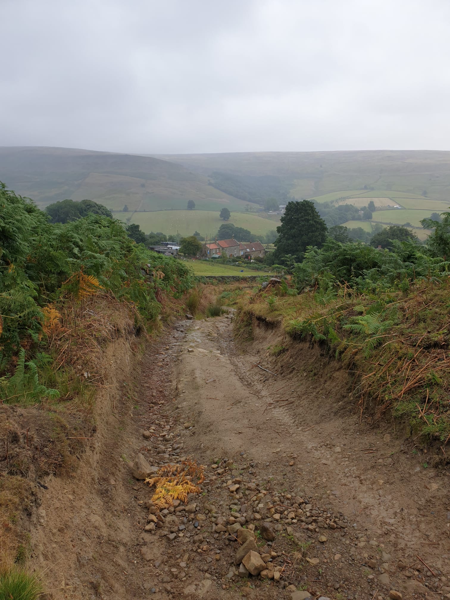
Looking across the valley.


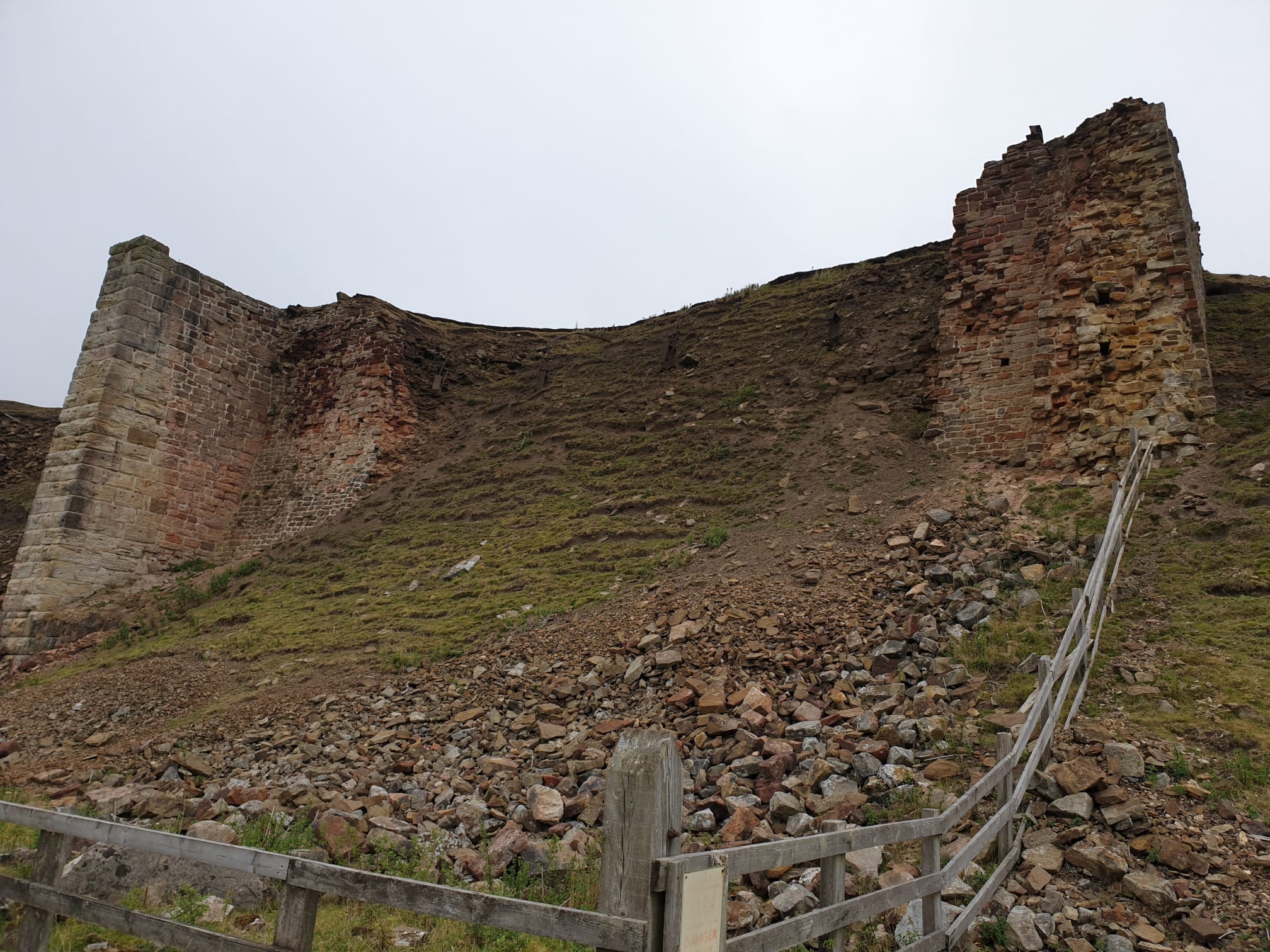

Further along the track you pass these ruins.


Just before Nab Scar the track passes alongside a small wooded area on the lefthand side, just after the woods is a track to the left, follow that downhill to Dale Head Farm.


Follow the path through Dale Head Farm and over this footbridge.

Then it’s just a couple of fields until you are back at Moorlands Farm where we were earlier in the trek. Following the same path back up the hill to the car park.
One final pic along the valley where we walked.
