Blakey Ridge, Rosedale, is a treeless moorland plateau in the North York Moors National Park. It’s known for being the highest and most isolated overnight stop on the Coast to Coast Walk. At an elevation of 400 meters (1,312 feet), it’s one of the highest points in the North York Moors…It’s also a great drive through the Moors to get there.
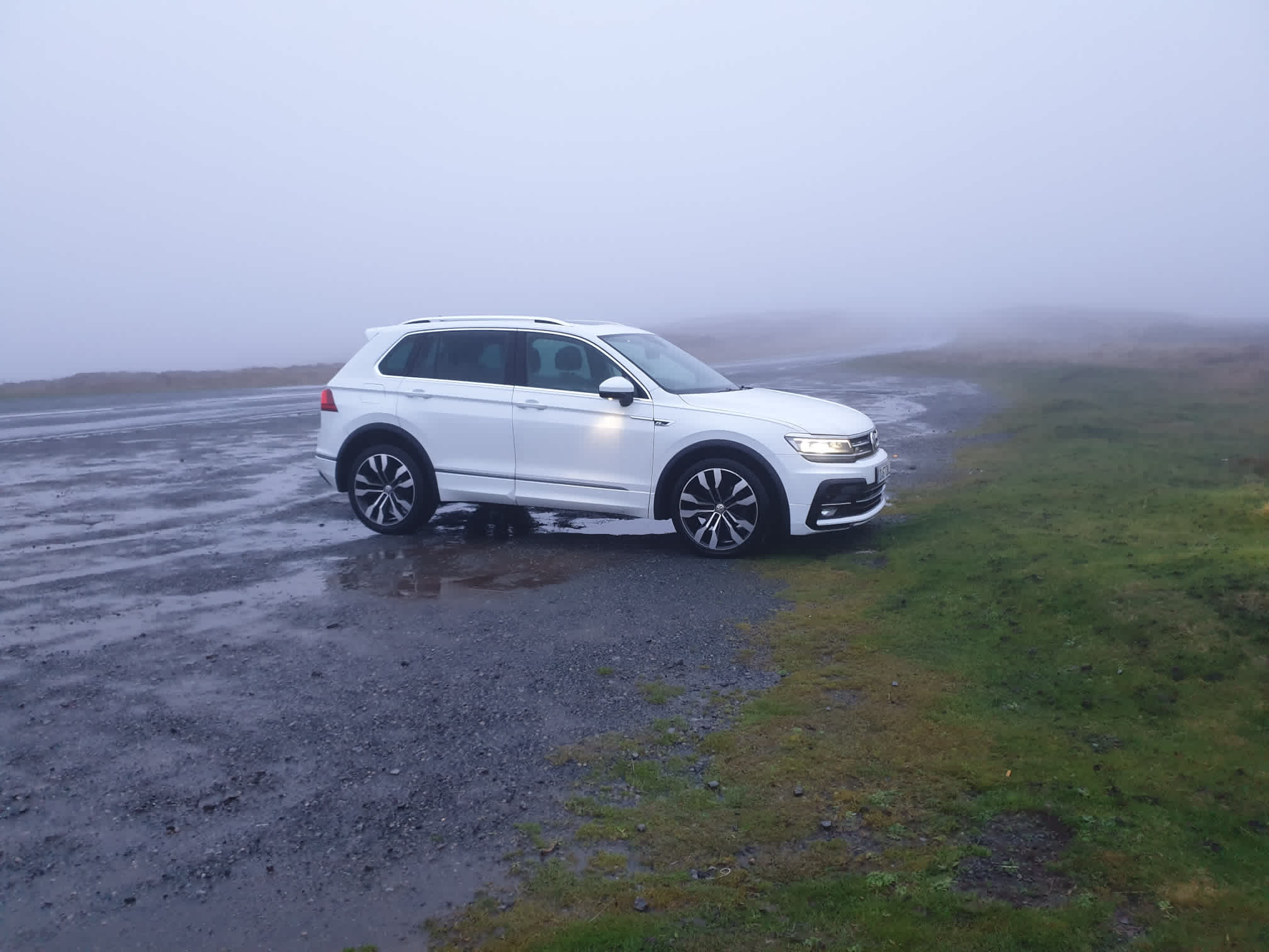
There’s a nice parking spot at this Blakey Ridge Car Park but it can get a bit busy on sunny weekends. Here’s Tiggy at the parking spot on a previous, miserable day.
The route is anticlockwise, following a gravel track for most of the way around the valley. The track used to be an old railway so is nice and flat and wide. The route only leaves the track for a short time near Rosedale Abbey as we follow a road and cross through fields to get to the other side of the valley.


Leaving Tiggy by the side of the road by the parking spot mentioned above, thankfully this time in sunnier weather.

Here is the gravel track, following around the side of the valley, the route follows this track for most of the way.

The other side of the valley, we’ll be over there in a few hours. The mine ruins are slightly visible near the top of the hill on the left of the photo.

Follow the path for around 4 miles, along the way there are a few ruins of the old mining industry and some information boards here and there.


Looking back down the valley, the houses on the other side are Rosedale East which the route passes through to get to the other side of the track.

Another view of the track, nice and easy and level.

Further along the path, near Bank Top, a nice little resting spot.


It was a warm day, the sheep had the right idea.

This is the farm at Bank Top near the Bank Top Kilns and near the point of the route where the route turns left off the track and onto a road.

Just before we leave the track and head down to Rosedale Abbey some prominent mine ruins, Bank Top Kilns.


With a great picnic spot looking further down the valley. It’s at this point that we’re following the road downhill towards Rosedale Abbey.

Passing by another parking spot for other Rosedale adventures here. Spot the Tiggy (from an earlier tour).

Keep following the road downhill to Rosedale Abbey.

Before you get to Rosedale Abbey itself, at the road junction with the White Horse Farm Inn to your right, turn left down Daleside Road.

Follow Daleside Road for 3/4 mile then turn right onto a footpath across a field and over this footbridge.

Heading through a few more fields to Hill Cottages, passing by some very friendly sheep.

As the path joins Daleside Road with Hill Cottages on your right take the gravel track straight ahead. It’s then a steep trek up the track up Swine Stye Hill, turning left off the road by this stone building.

Back to the familiar old railway gravel track as you head back up the valley on the opposite side to before.

And more industrial ruins, these are a lot larger than Bank Top Kilns.


Keep following the track north along the valley.


This pic is looking across the valley to where the route started with the Lion Inn (not far from the parking spot) visible on the horizon.

Carrying on along the track and you get to the end of the valley, tis is the far end looking south down the valley, just a mile left to go.


Keep following the track past some small ruins for around a mile.

Nearly there, the final view down the valley as the route leaves the track and heads right up a footpath and back up to the car park.
