After an earlier hike in the area which passed through part of Danby (Castleton to Commondale, Danby and back) I thought it was time to explore the Danby area a bit more.
This route completes a loop in a clockwise direction, heading south from Danby and following the road east, parallel to the railway line. Then up into the hills, over the Heads to Danby Rigg and over the moors back to Danby.


Starting in the center of Danby, parking here in the centre of Danby head south down the main road, crossing the railway line and on to Ainthorpe.

At the road junction at Ainthorpe turn left down Easton Lane and continue along the nice and quiet lane for around 2 miles.


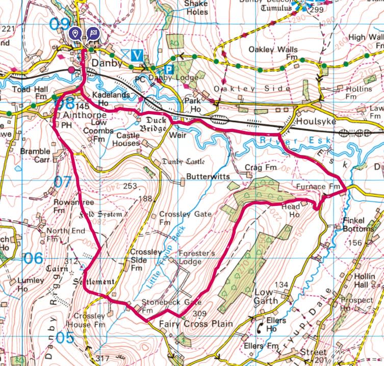
Crossing over the River Esk at Duck Bridge and head east, down Lawns Road.
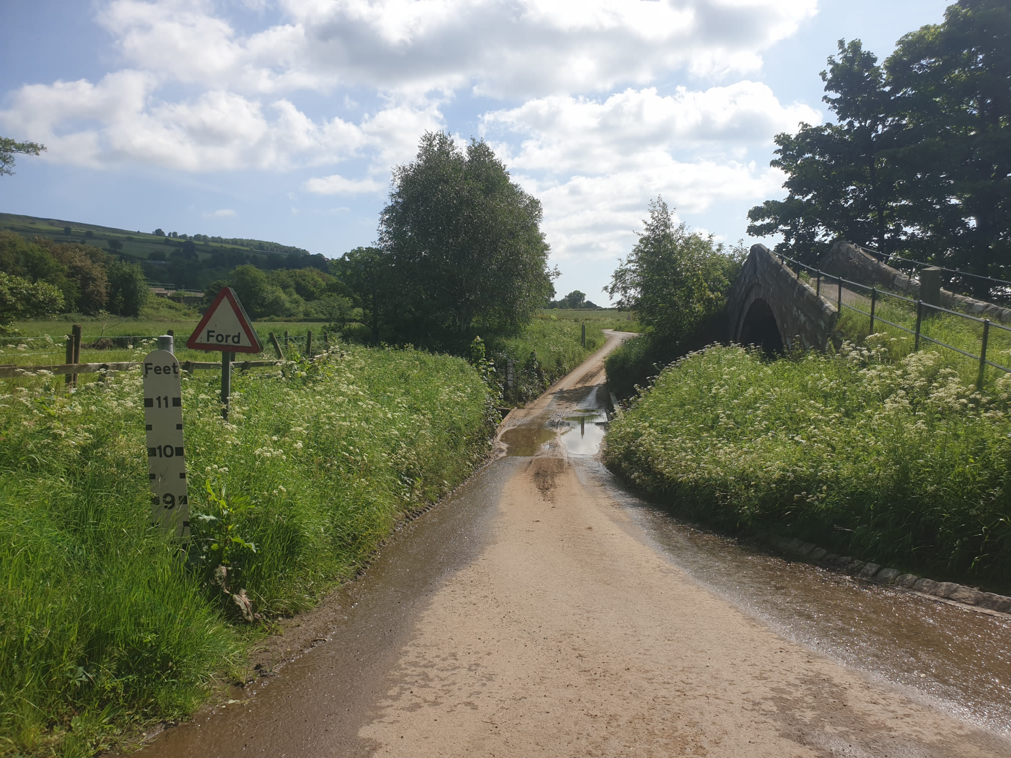
Looking south at Danby castle up the hill, just below the trees.

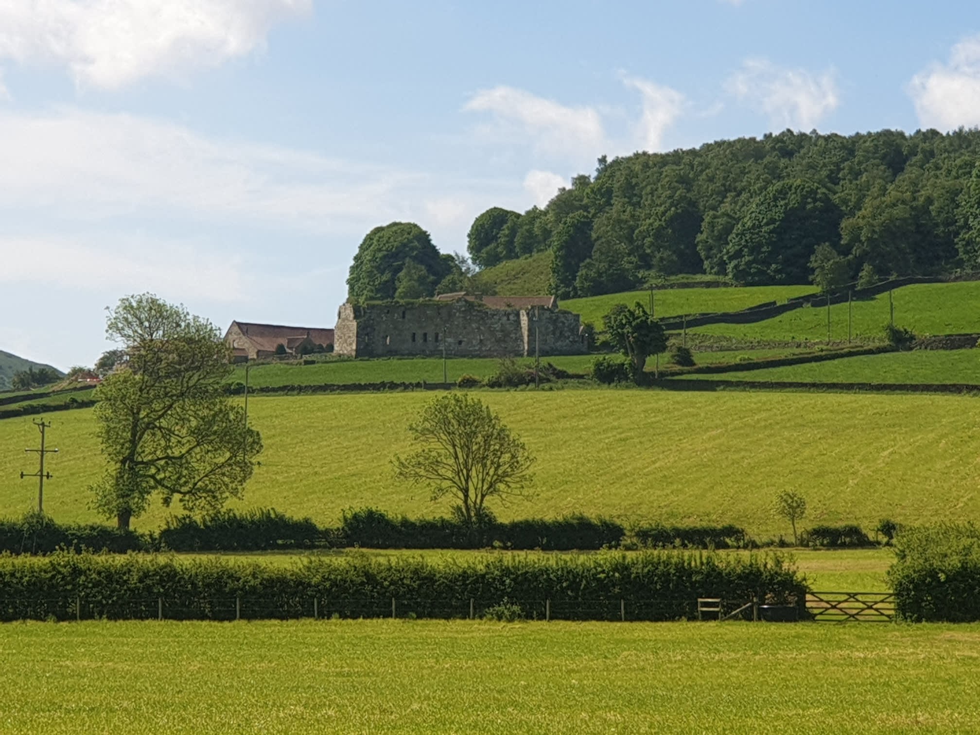
And a close-up.
Continue along Lawns Road and you cross the River Esk again as you head to Furnace Farm.

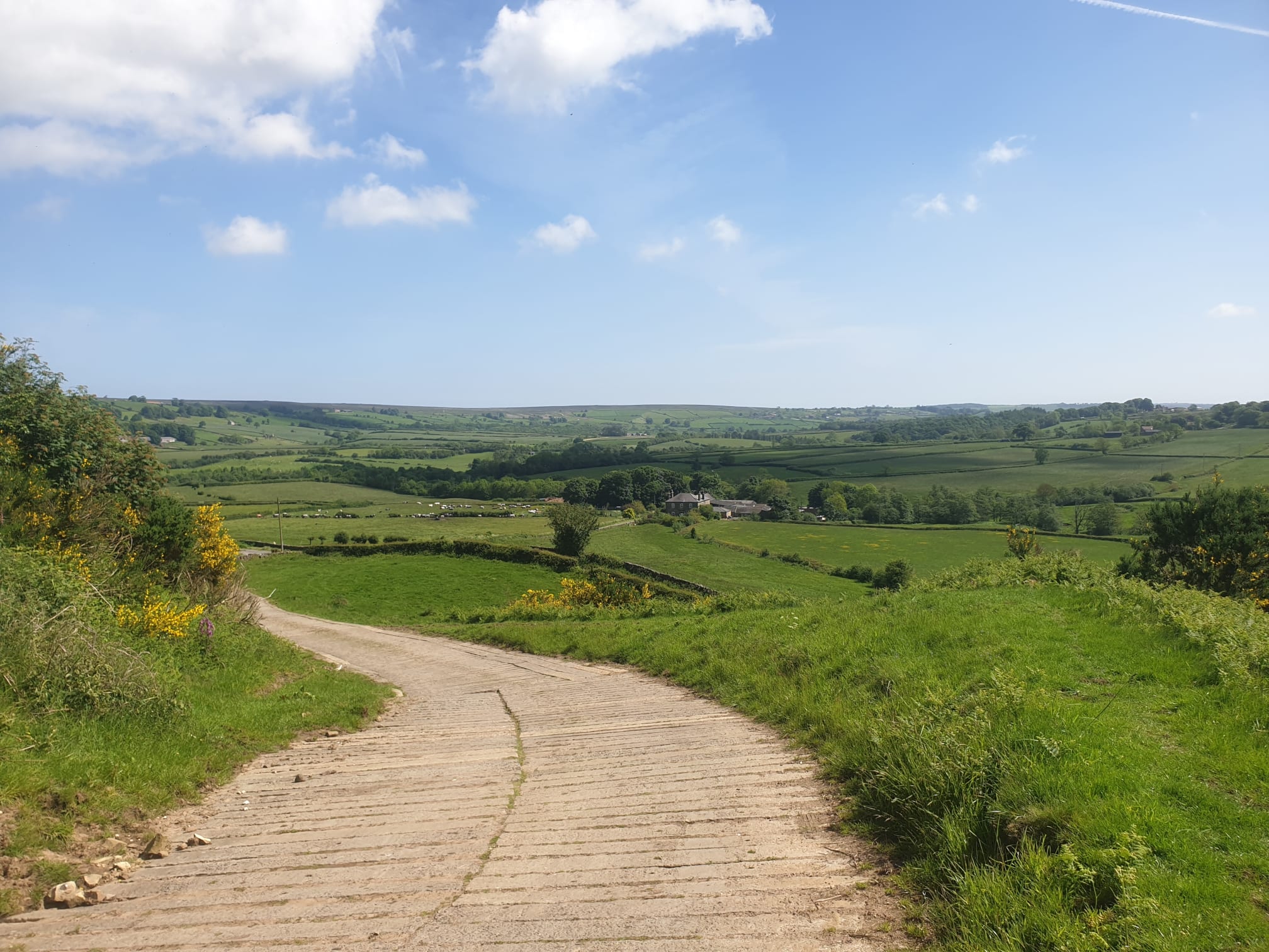
On the way to Furnace Farm, on the right hand side, the first view of the track the route takes us, to the left of the hill ahead and past Head House on the top of the hill.
Turn right at the road junction with Furnace Farm, with a spectator.

This is the track up the hill, looking back down towards the farm. It is a bit of an uphill trek to the top of the hill.

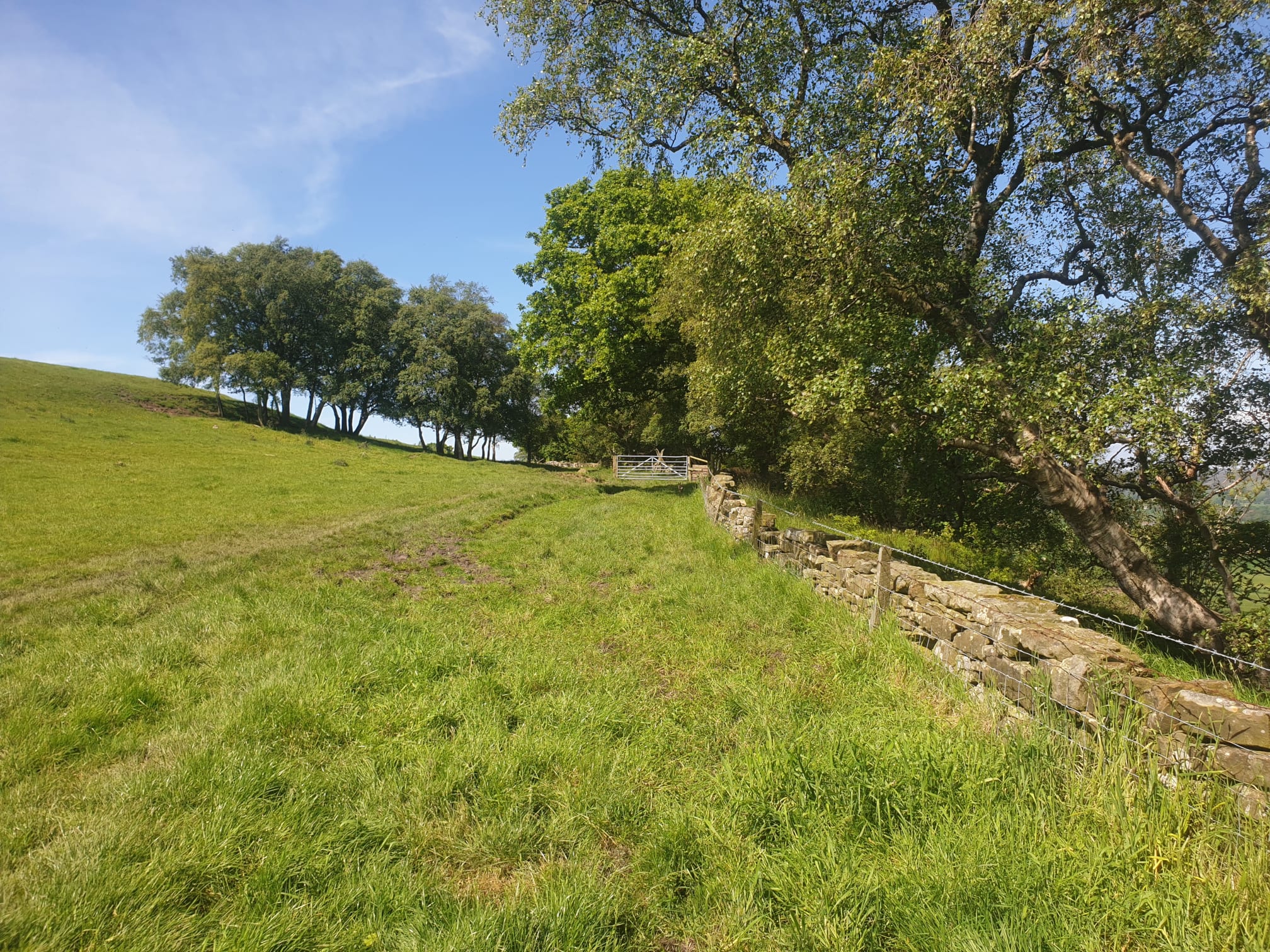
Passing to the left of Head House, the path then turns from a track to a grassy path along the edge of some fields with Crag Wood on the right.
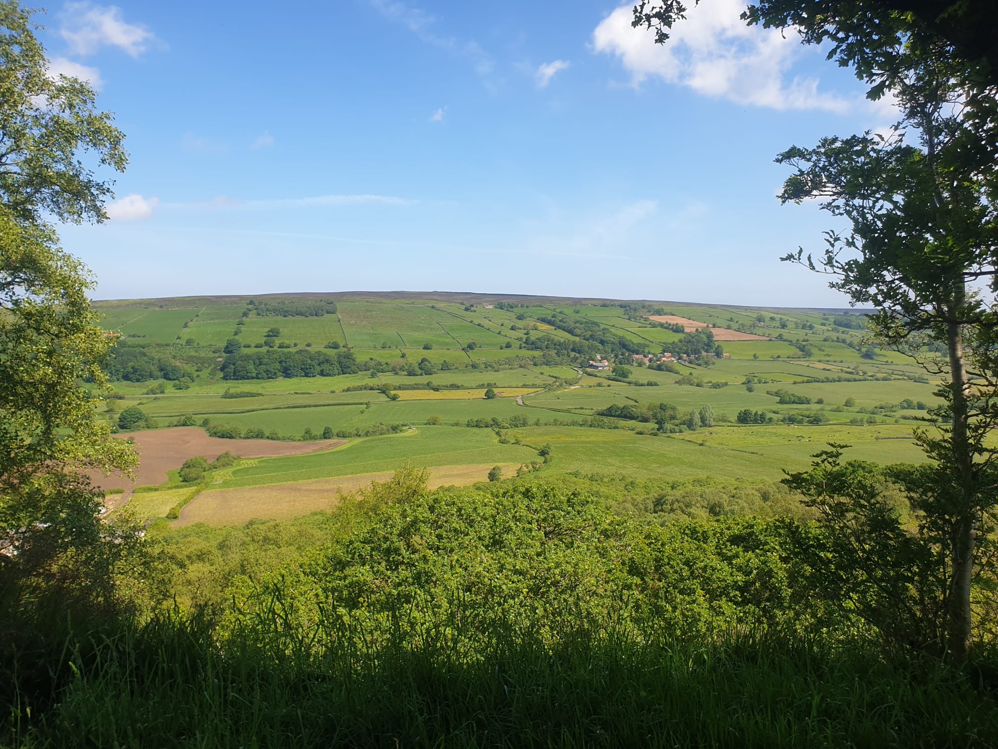
Through gaps in the wood there are some great views across the valley to Danby Rigg, the route heads over the top of there in a bit.


The path continues across the top of Danby Crag for a mile and then starts to head downhill.

It gets a bit more overgrown by Walker’s Plantation.

Heading down the hill, west, past Stonebeck Gate Farm.


Danby High Moor on the left.

And cows on the right.

Keep following the road north west until you get to this road junction by Slate Hill House. The route continues north west, following the dirt track, just visible, off to the right in this pic.
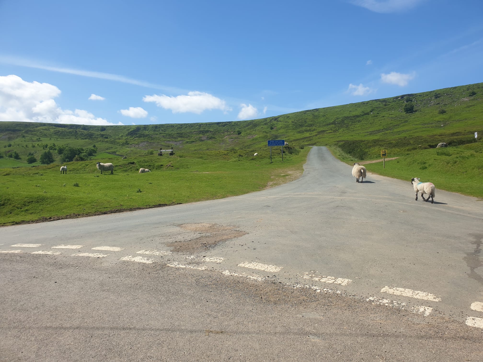
The track gets quite steep as it climbs up Danby Rigg.


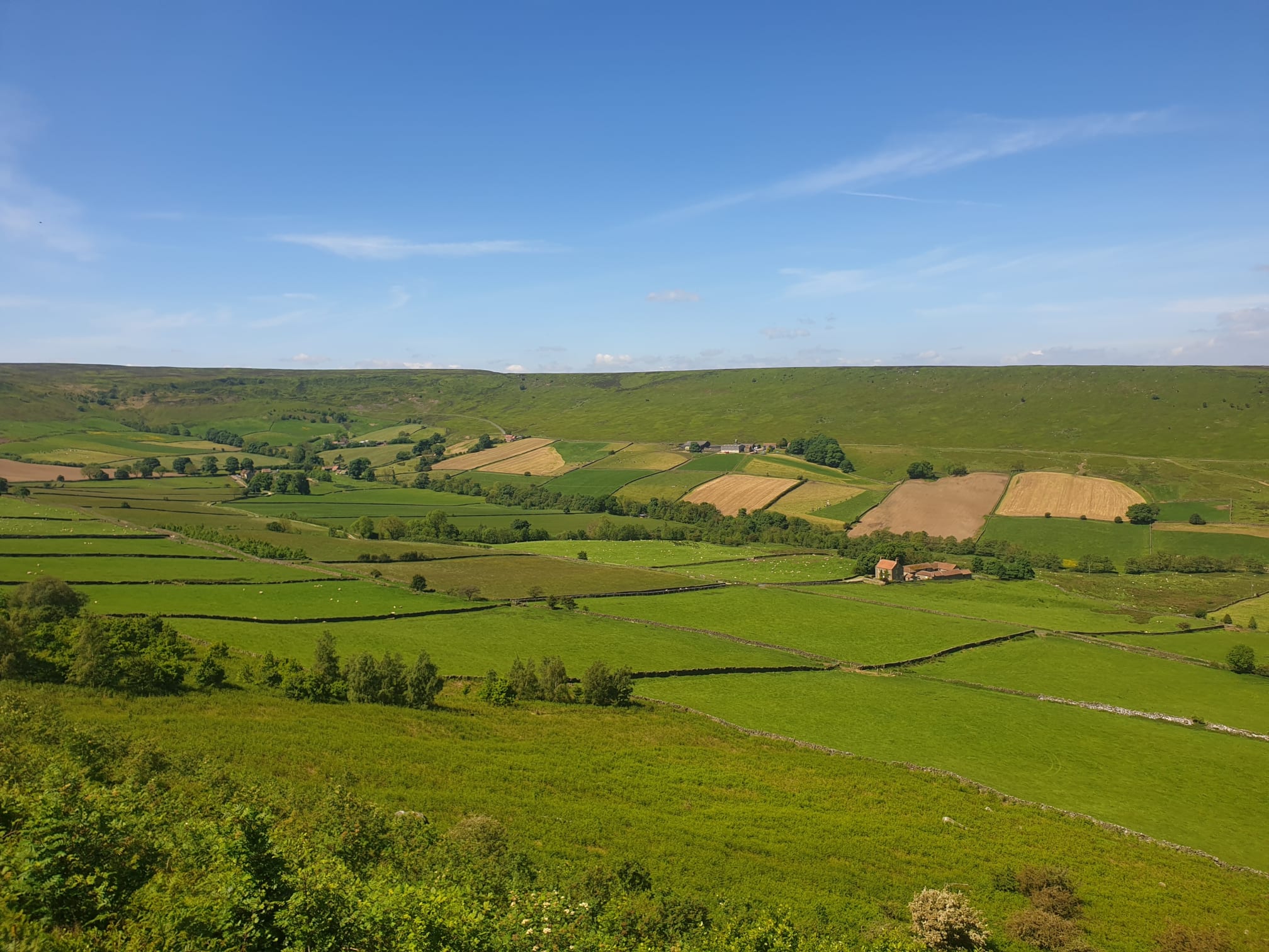
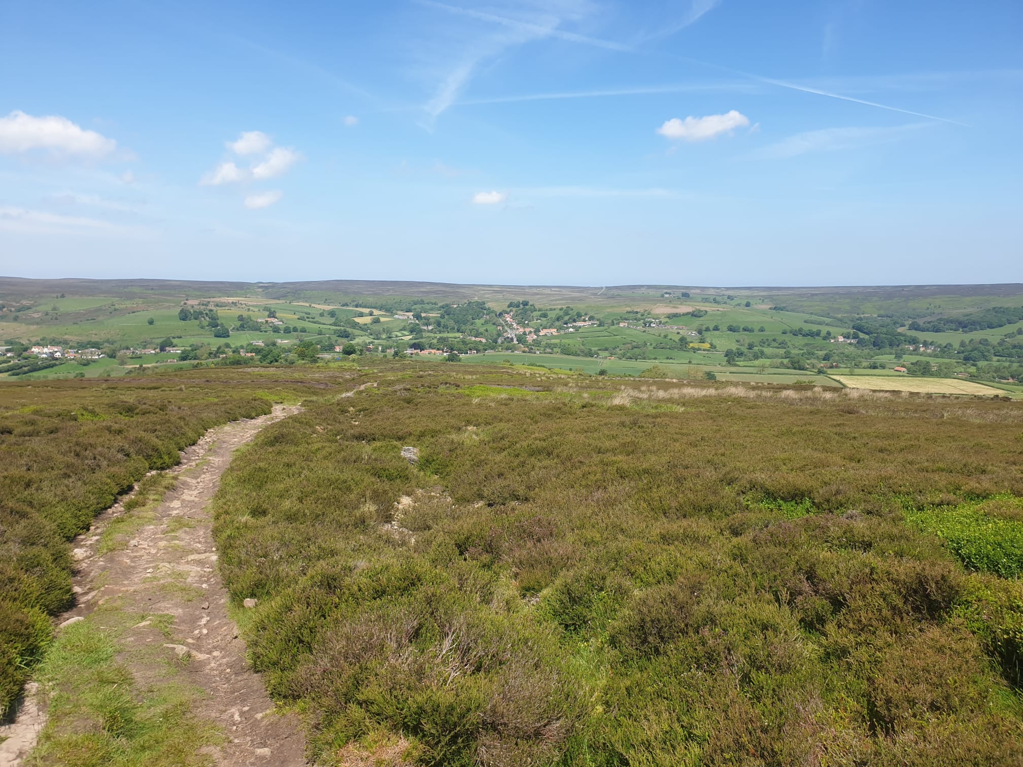
A tiring climb in the sunshine, but worth it for the views. This pic shows the other side of the valley, Danby Rigg, where the route took us earlier.

An easy track to follow as it turns north, over the moors at the top of the hill.

Keep following the track on a pretty much straight line, past the Standing Stone.

The track then starts to head steadily downhill back to Danby in the distance.
The route then joins the road by Low Coombs Farm, continue along the road through Ainthorpe and on to Danby, and Tiggy.
